In July 2017, we did a three-day, two-night backpack trip around Mount St. Helens in Washington State. John was 64 and I was 63. We first moved to Washington State in 1977, so I can remember Mount St. Helens before she blew her top in 1980. She was such a lovely mountain and was often compared to Mount Fuji.
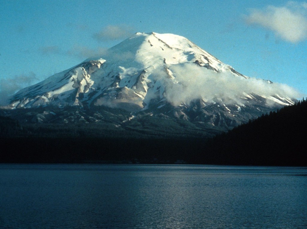
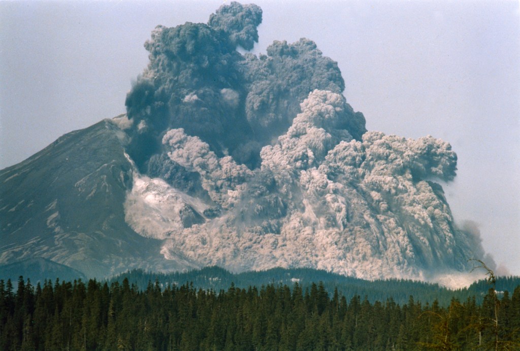
However, that changed on May 18, 1980, when her north flank collapsed in a massive landslide, unleashing a devastating lateral blast …
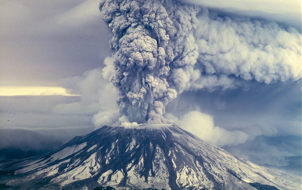
… followed by a towering column of ash and gas. Volcanic mudflows called lahars also swept down surrounding river valleys.
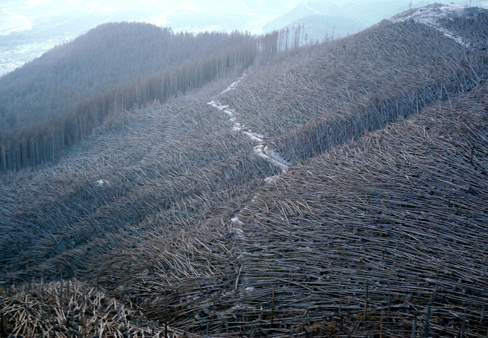
Mount St. Helens National Volcanic Monument was established August 27, 1982, and we took John’s mother to see it soon after it opened. The devastation was unbelievable. The tall trees within entire forests had been knocked down by the blast and laid on the ground like carefully arranged toothpicks.
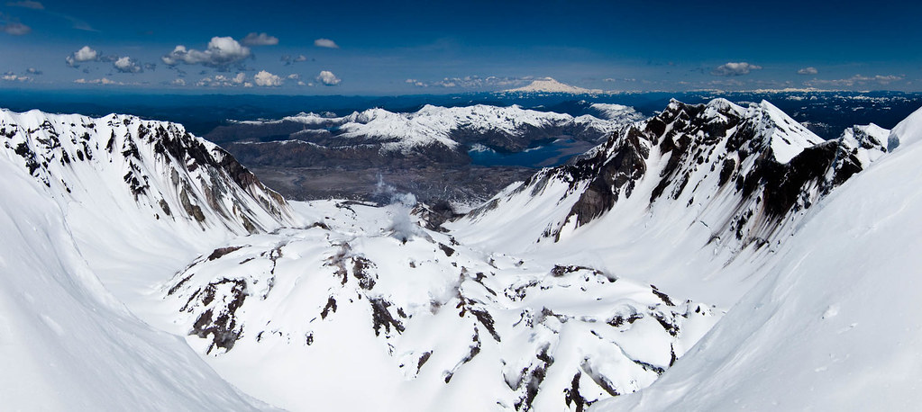
John had hiked to the top in the past, but he had done so during the summer, when the wind, dust, and grit made it an unpleasant experience. It is far better to go when there is still snow. So, in May 2010, John, our son Dan, and I snowshoed to the top of Mount St. Helens. Once on the rim, we could look down into the crater and see the lava dome (complete with steam) as well as Spirit Lake and Mount Rainier in the distance.
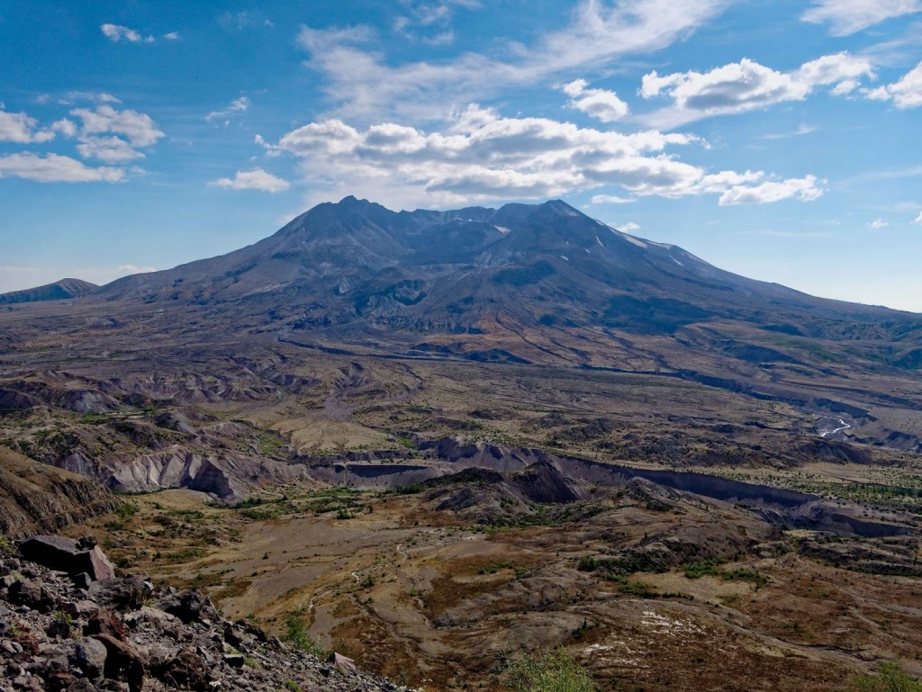
The loop around Mount St. Helens is about 33 miles in length, and John had done it twice before: as a very challenging trail run in 2002, before the route was well established, and as a three-day, two-night solo backpack trip in 2014. I was sidelined with a shoulder issue then and was very disappointed to not be able to go on that backpack trip with him. I was really excited to finally get to do this unique trip.
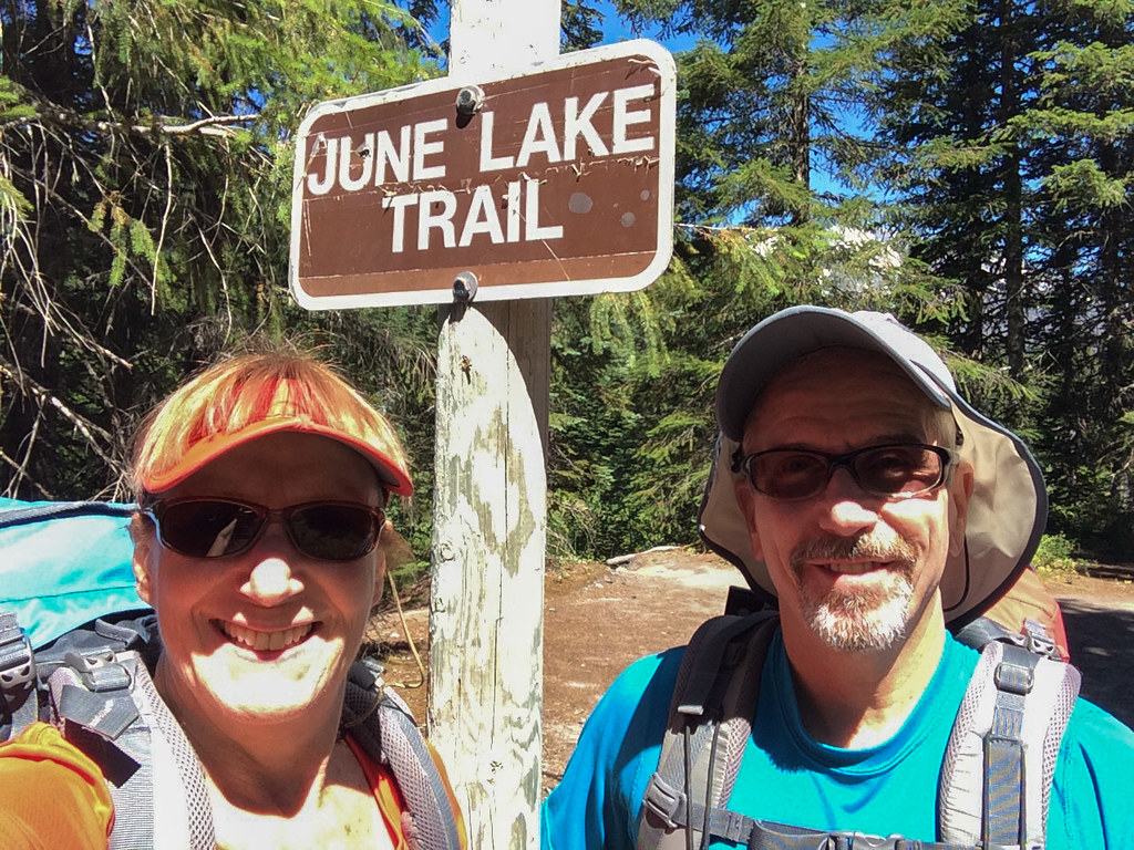
We started at the June Lake Trailhead, located at the southeast corner of the monument.
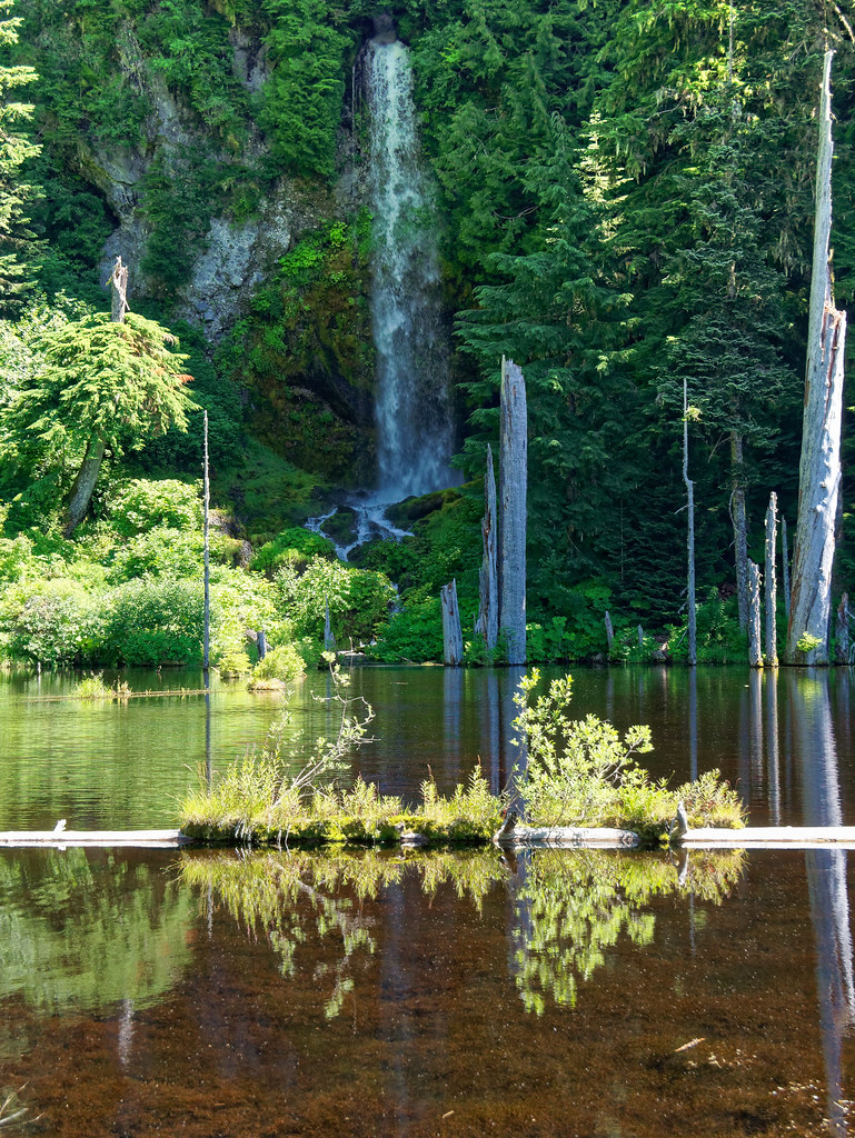
The trail took us through a cool green forest past this lovely little waterfall. I made a point of enjoying the color green while it lasted …
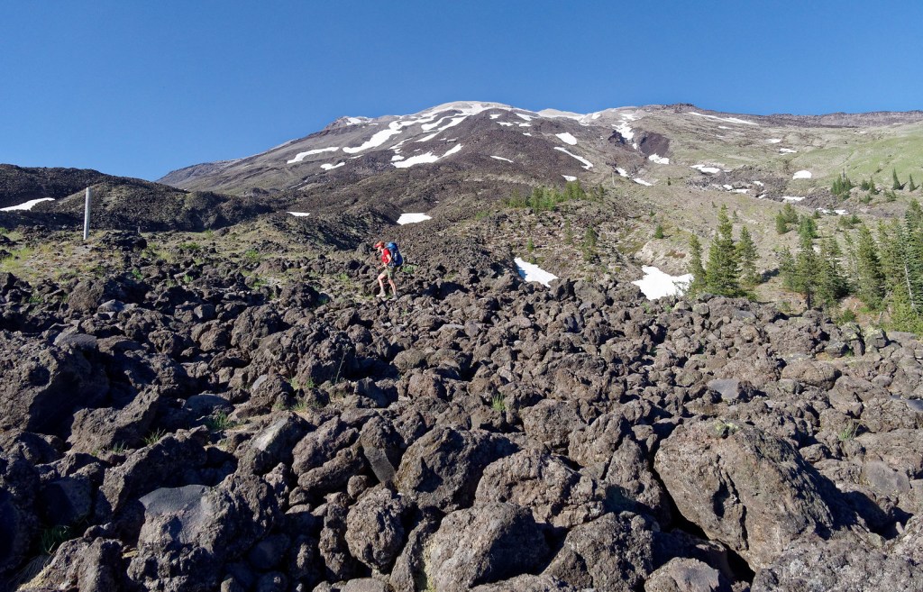
… because before long, we left the woods and started across the first of many lava and boulder fields.
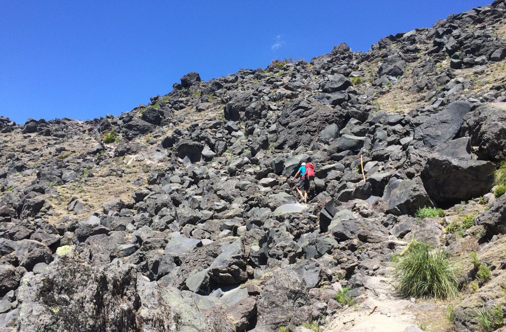
Navigating through the lava fields can be challenging because there are no boot prints, and the hard lava rock does not develop the worn path that ordinarily helps hikers follow a trail. Fortunately, the Park Service has installed white posts placed at intervals marking the route. Even so, one must stop and scan around for the next white post before continuing. One big challenge John had when he did this as a trail run occurred after dark when the beam from his headlamp did not reach as far as the next post.
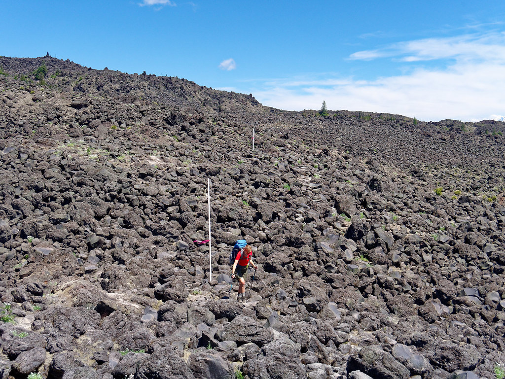
I found this first lava field to be tedious, and John tried to reassure me, based on his memory, that it was the worst. The advantage of doing this as a loop meant we wouldn’t be coming back this way.
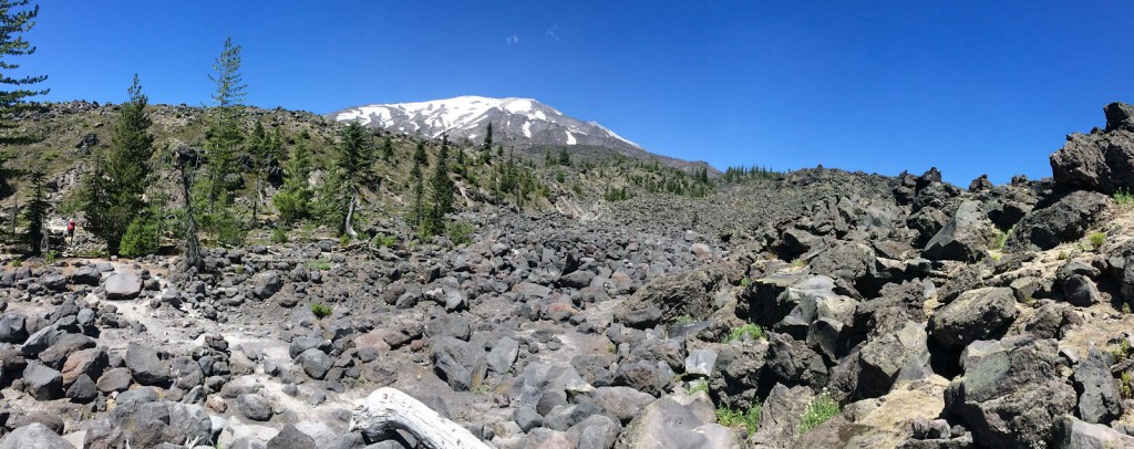
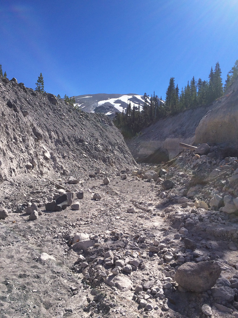
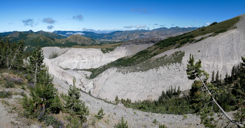
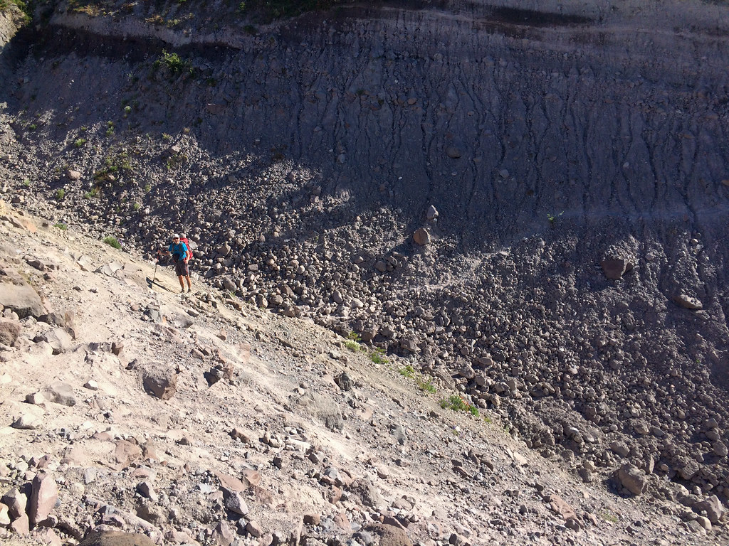
A characteristic of this loop is the necessity of crossing many deep gullies.
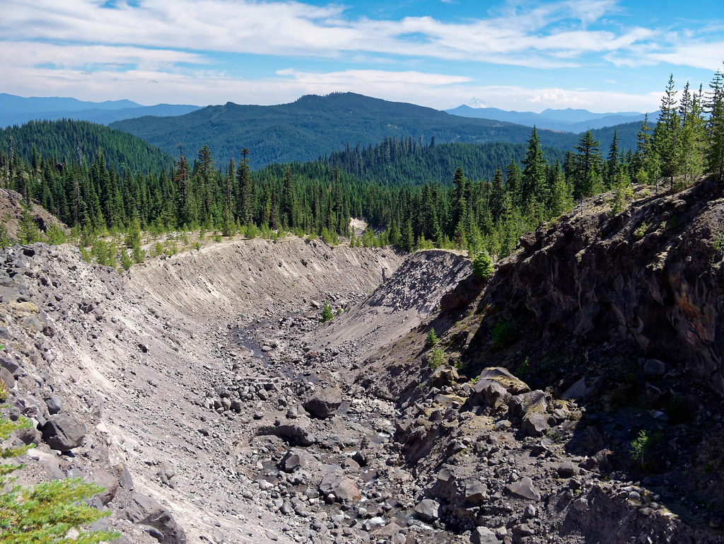
After the lava field and the first gully, it was a treat to be on an actual trail even if it was short-lived.
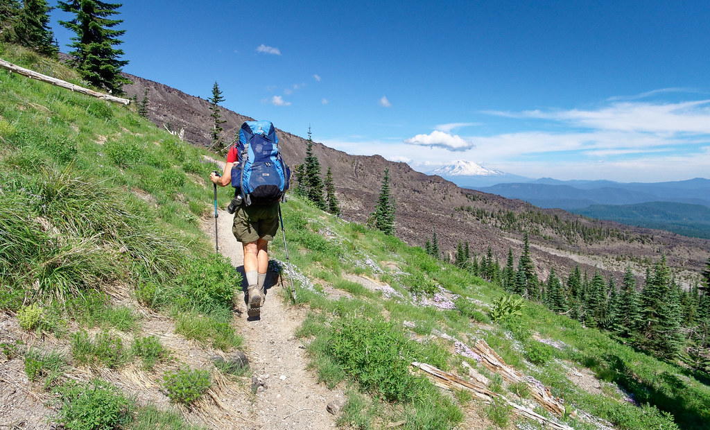
It was late July, but there was still a bit of snow.
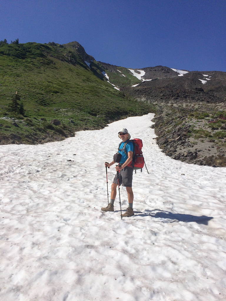
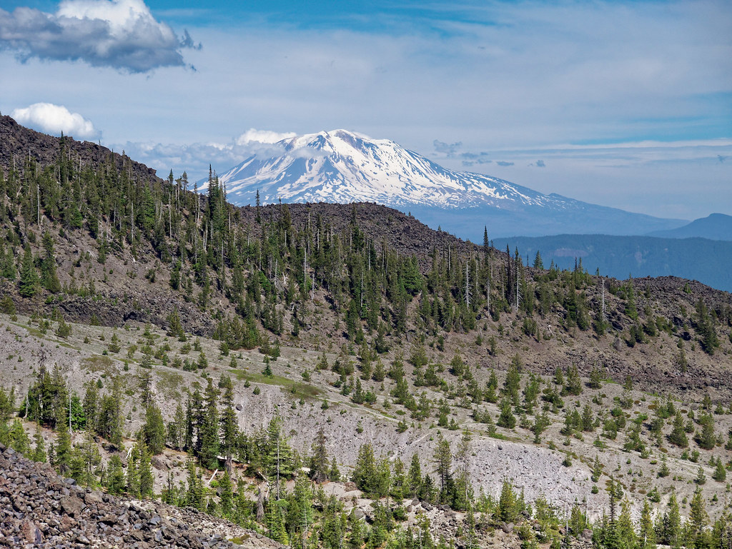
After gaining some elevation, we began to get views of Mount Adams, …
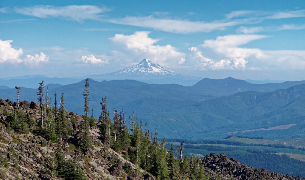
… Mount Hood …
… as well as a shy view of Mount St. Helens.
We were about four miles in when I became aware of some hot spots on several of my toes. I was wearing brand-new boots, but the box they had come in indicated they were the same size and style I had worn without problems for years and my orthotics fit just fine. I had worn this brand and style of boots straight out of the box for a seven-day backpack trip in Glacier National Park without any issues. I checked the label in the boot and was dismayed to read they were not the correct size and had been in the wrong box. We stopped, and I taped every spot I could identify.
We had planned to camp by the South Fork of the Toutle River that first day. The tape helped, but the rough terrain was taking its toll and reduced my speed. As we descended into yet another gully, the pain in my toes was so bad I was slowed to a snail’s pace. I tried to go faster but just couldn’t, and we had to admit there was no way we could get that far.
The decision we needed to make was whether to bag the trip and head back the way we had just come or camp where we were, which would give us the option to continue the next day. I was devastated. I was worn down by the pain, and I couldn’t stand the thought of hiking back over the miles of lava and boulders we had already done with my toes hurting as much as they did.
Intellectually, I knew this would not be the only opportunity I would ever have to hike around Mount St. Helens, but I hated the thought of quitting. We talked about it and decided to wait until morning to decide. We then made a fruitless search for a spot level enough for our tent. I set it up in a small clearing on a thickly treed slope while John backtracked to get water. We slept with our backpacks under our legs to keep us from sliding down to the foot of our tent and it worked, for the most part.
I was awake until quite late that night thinking about what we should do, and I got an idea. The next morning, I made a proposal to John. I suggested that we swap boots and continue the trip. Our feet are similar in size but different in shape, with his narrower than mine. It appeared the toe box on my new boots was narrower than previously and, as I have had five surgeries on my feet, my toes need their space. We both normally wear two pairs of socks: a thin liner and a thicker wool sock. My thought was that if we both wore just our liners, we could swap boots. He agreed to give it a try, and we continued. My idea seemed to be working; I could smile again.
We crossed more gullies …
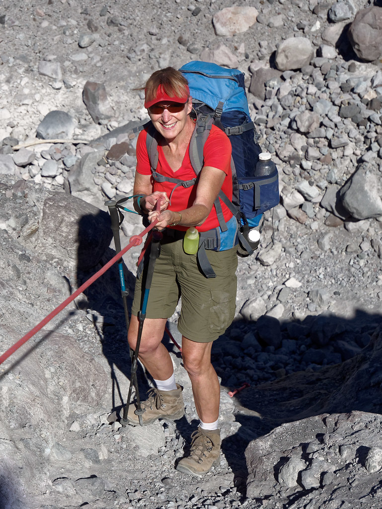
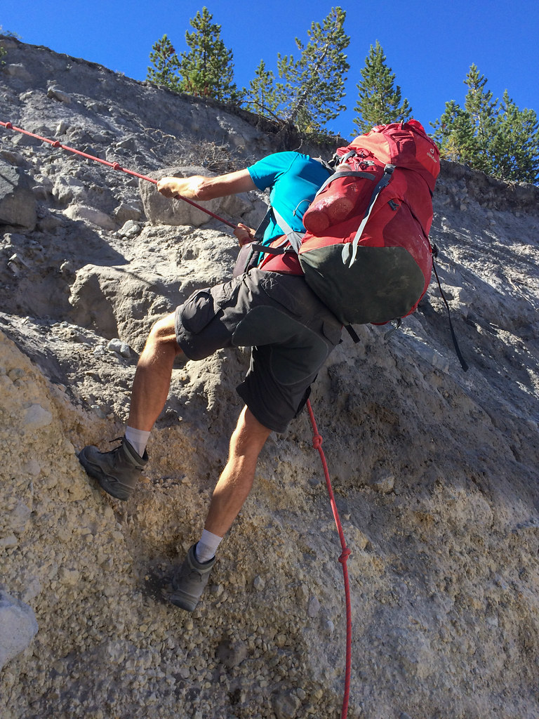
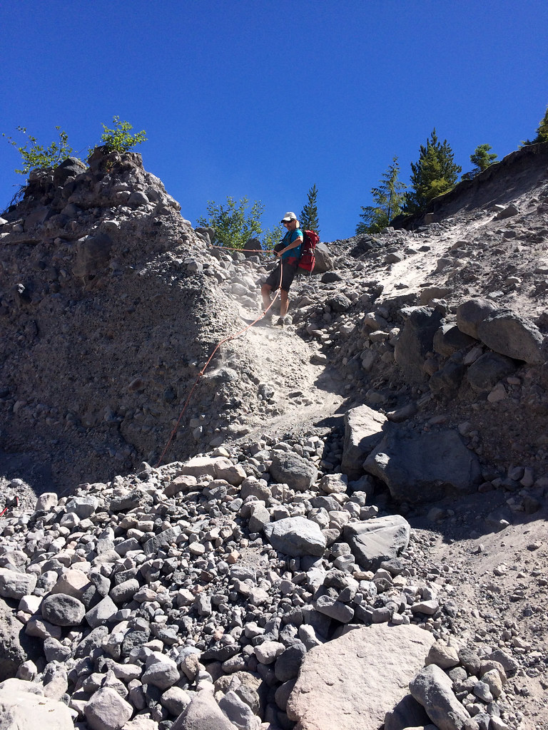
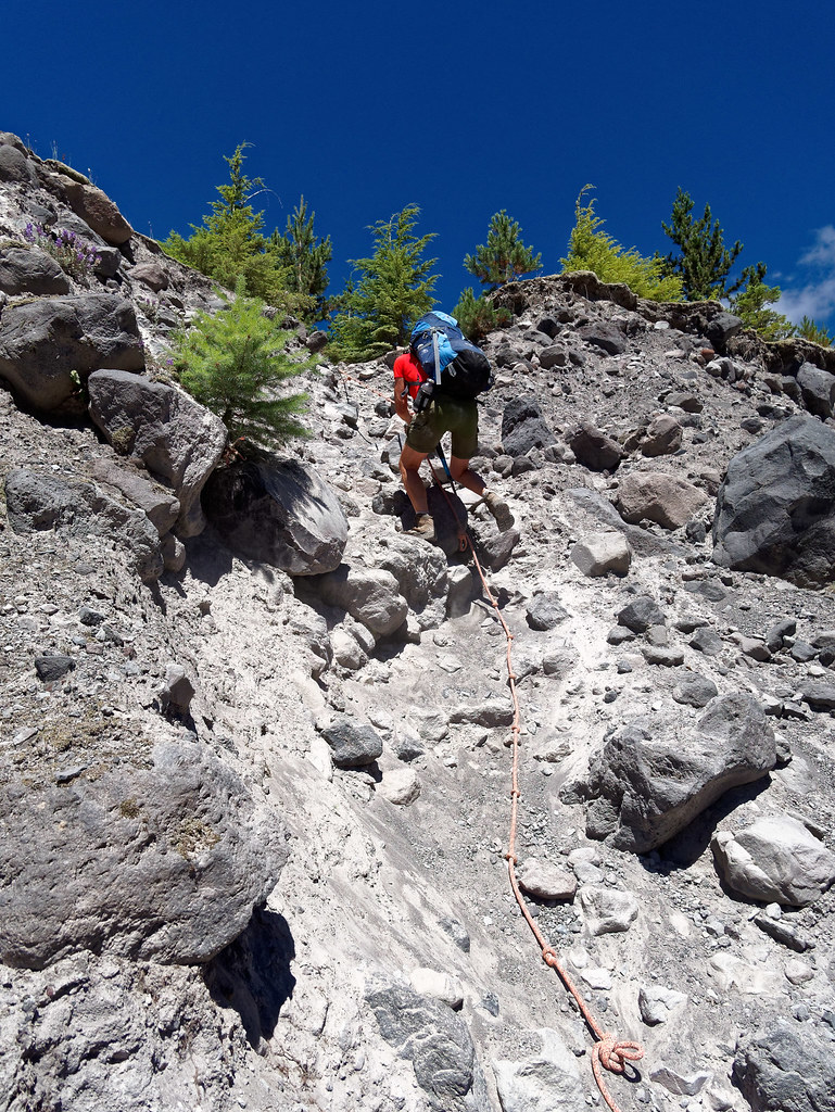
… and were very grateful for the fixed ropes.
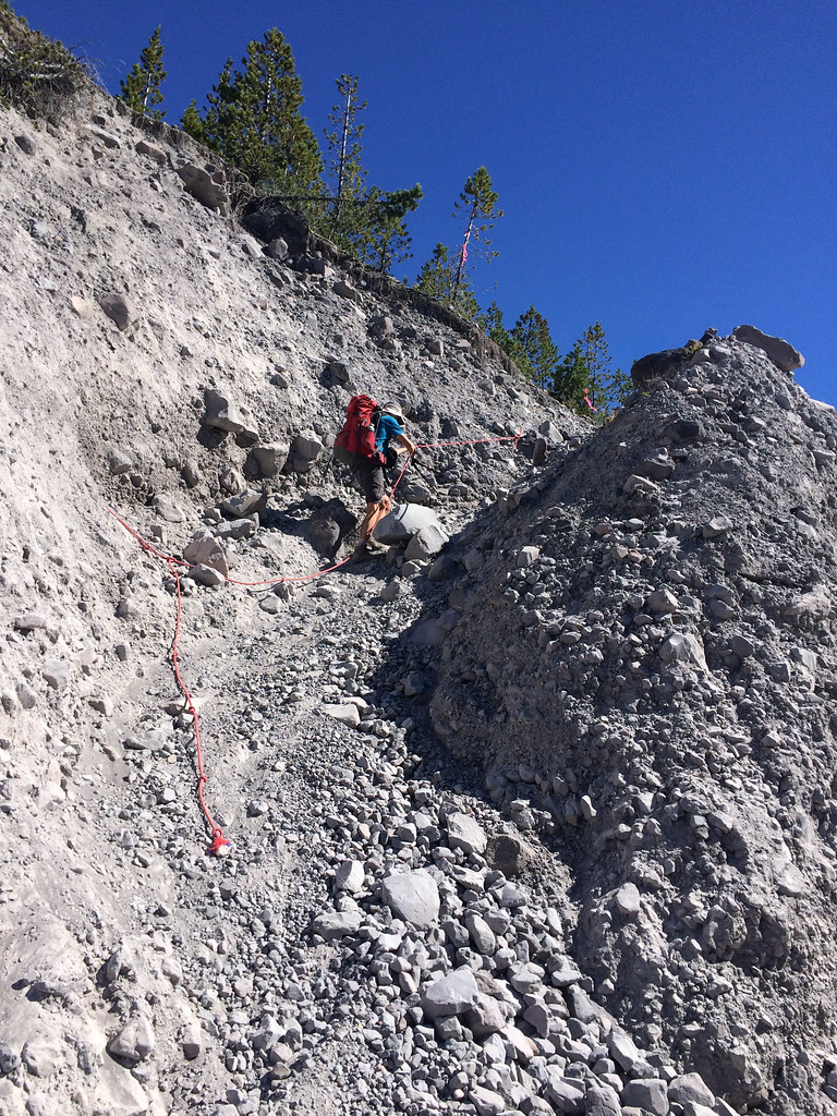
Otherwise, getting across these gullies would be much more challenging, even impossible for some of us.
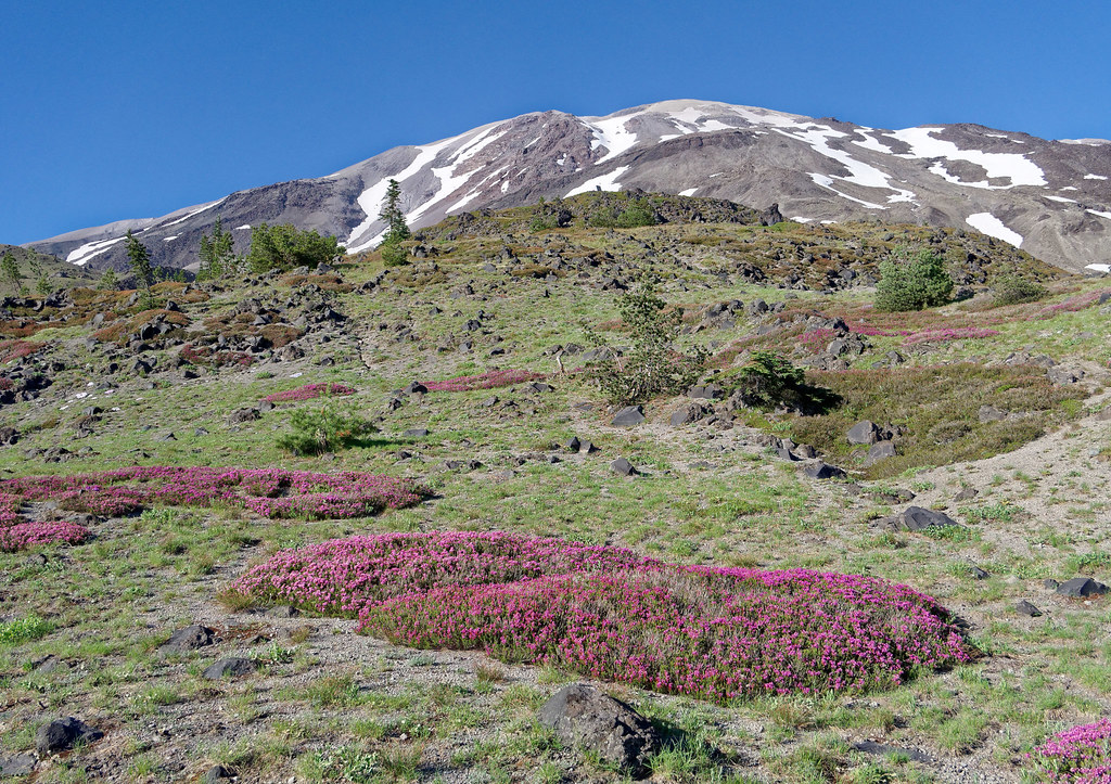
It was gratifying to see that nature was making a valiant effort to reclaim the area.
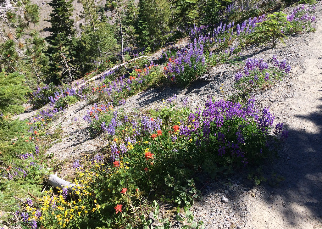
The wildflowers were gorgeous.
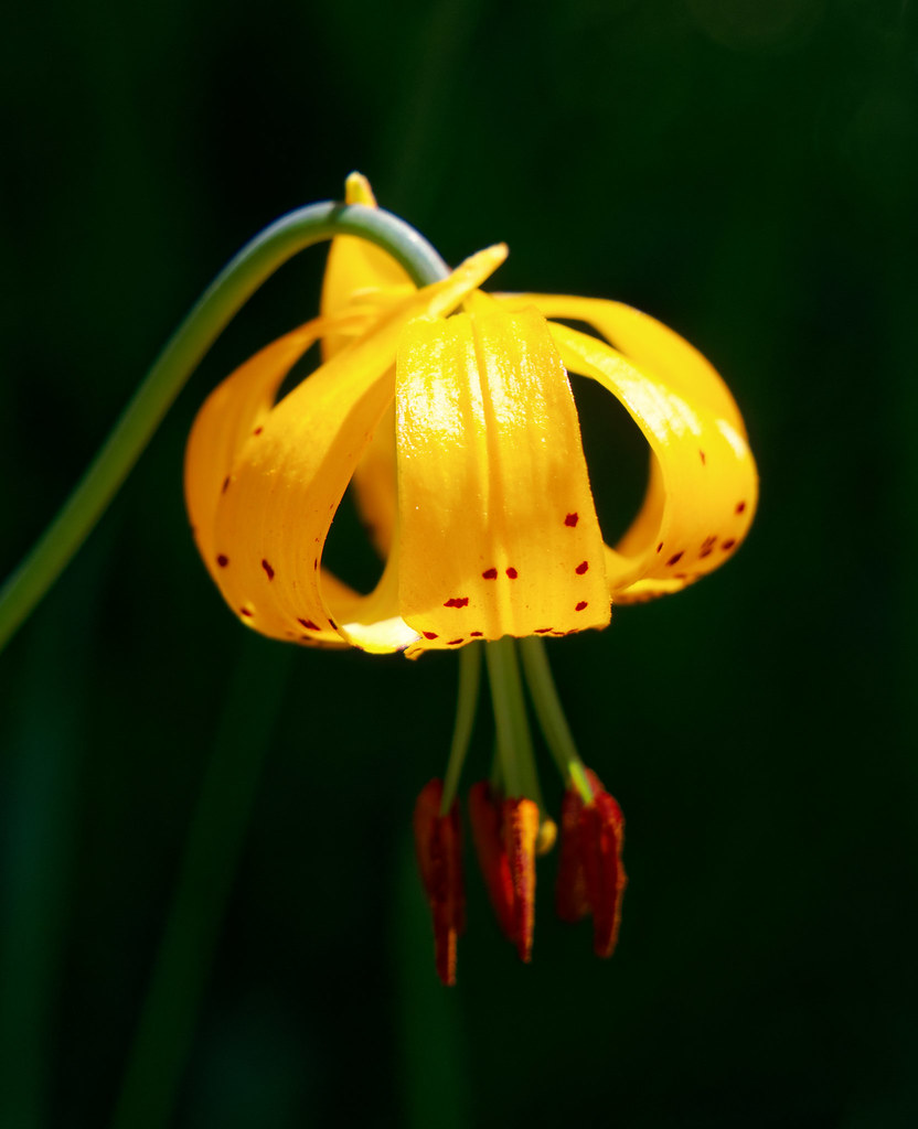
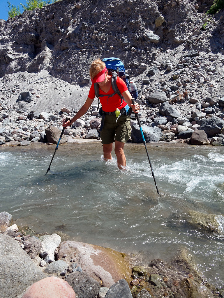
It was nearly noon before we finally approached the South Fork of the Toutle River, which confirmed we would not have made it the previous day.
We descended into the gully, …
… crossed the river …
… and scrambled back up the other side.
We were now within the Restricted Area where camping is not permitted.
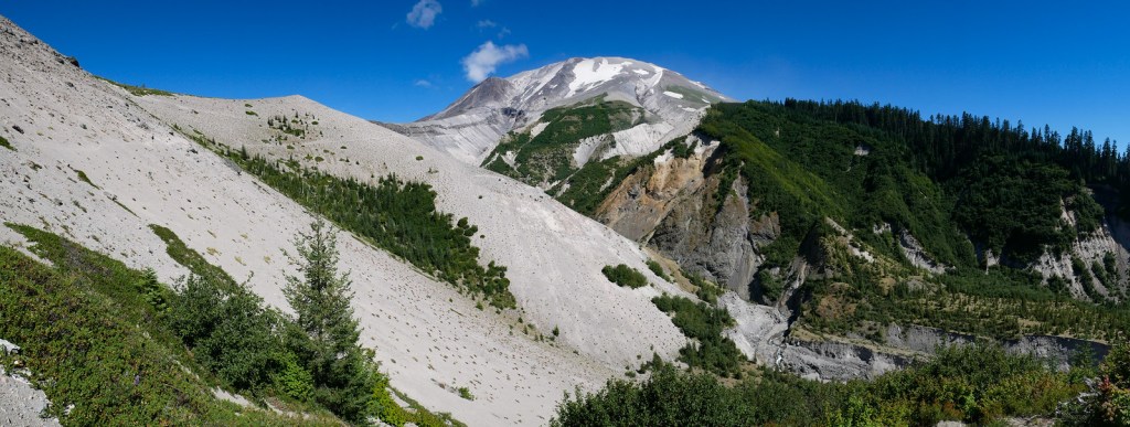
It was a pleasure to be on such a fast trail as we had many miles to go.
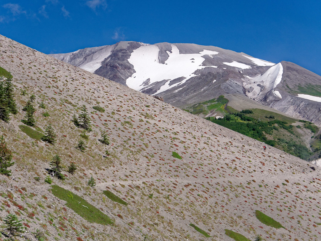
We were getting better views of Mount St. Helens, although from this angle she looks like such a tame mountain.
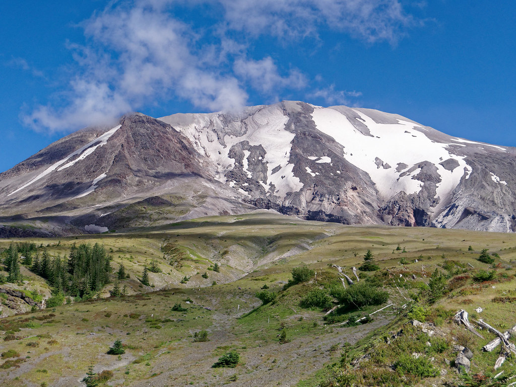
Even this close to the blast zone, nature was making a comeback.
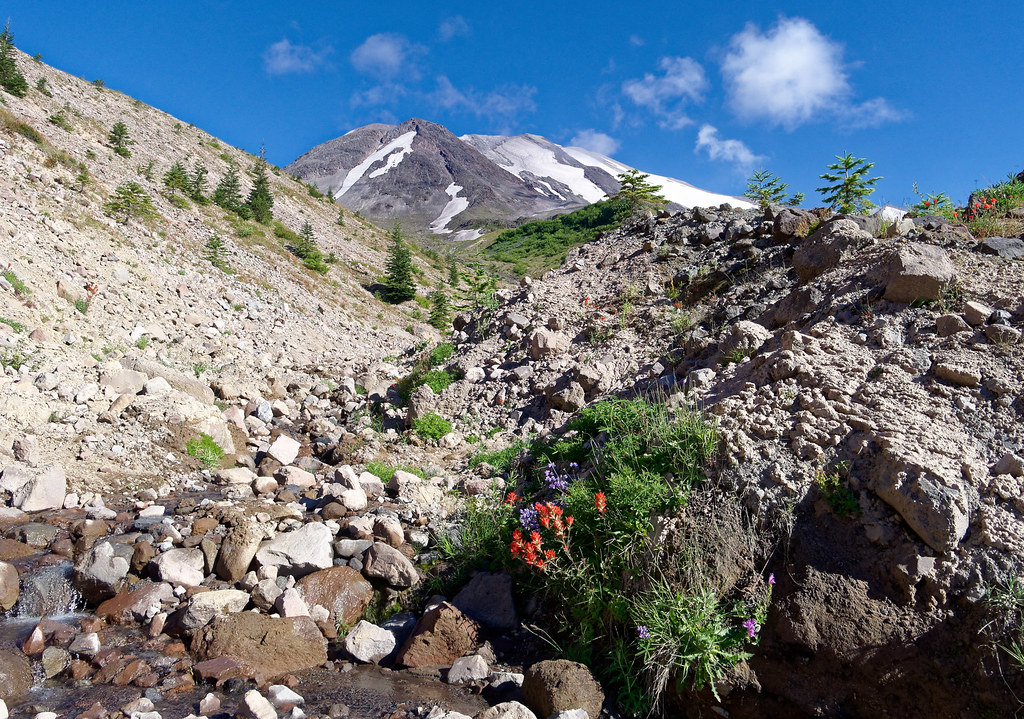
But there were more gullies, always there were more gullies.
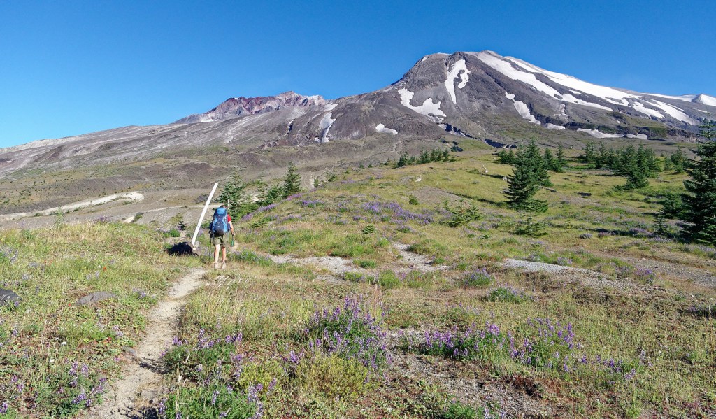
As we continued around the mountain, we began to see the edge of the crater.
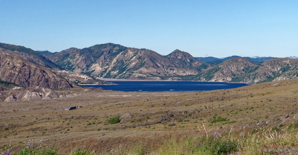
As we started across the Pumice Plains, we could also see Spirit Lake …
… as well as just the top of Mount Adams.
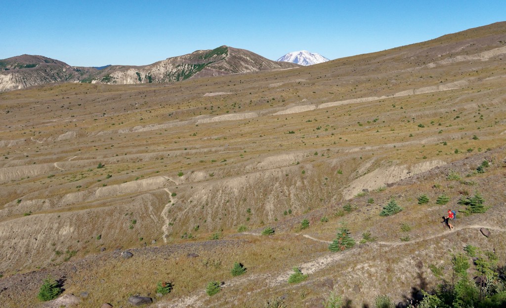
We continued crossing the broad expanse …
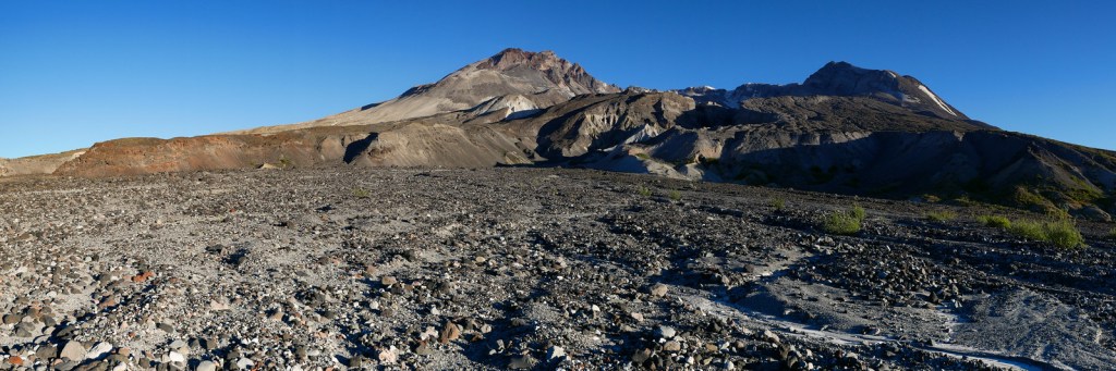
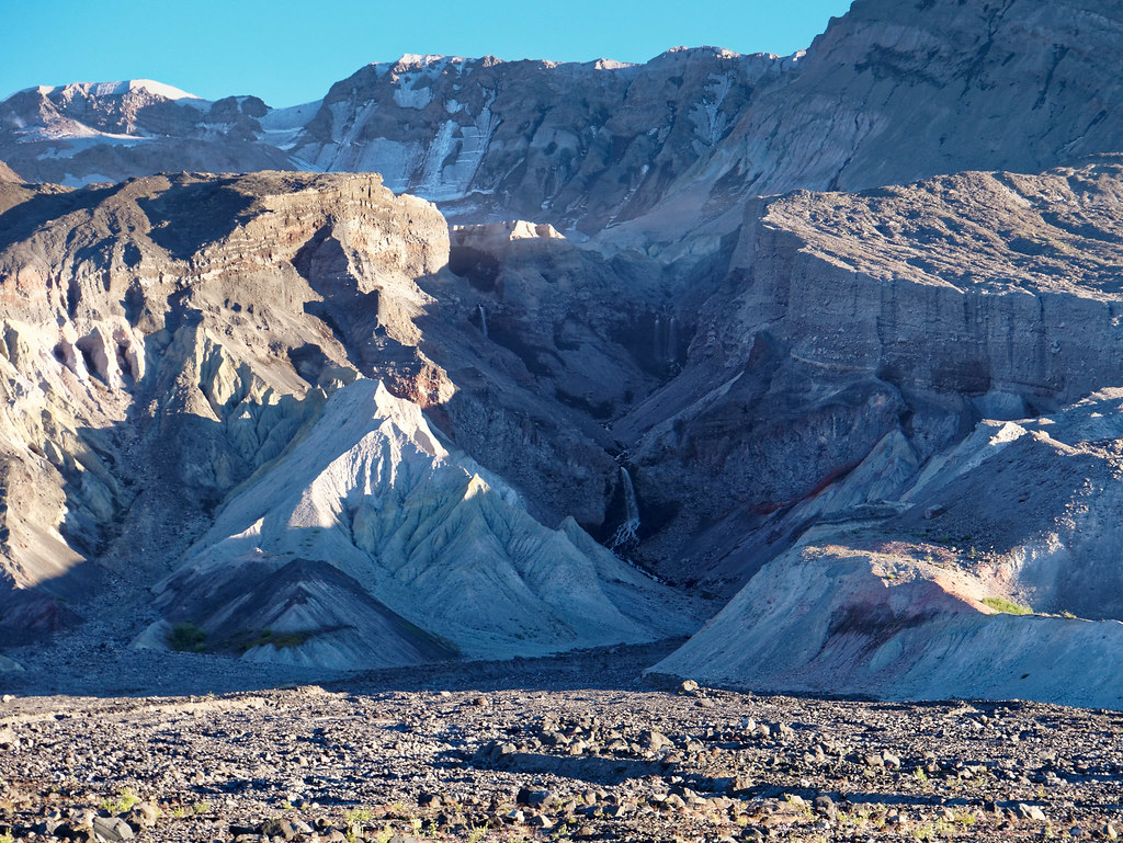
… and hiked past Loowit Falls. Unfortunately, we had to pass on the short side trip to the falls as we were so short of time.
We needed to get past the Restricted Area Boundary and to the first water beyond Windy Pass to camp that night. However, we were tired, hungry, chilly and it would soon be getting dark. In addition, John discovered that wearing my boots was giving him blisters, so now both of our feet hurt. All I can say is we got as far as we could before our need to be safe forced us to stop for the night.
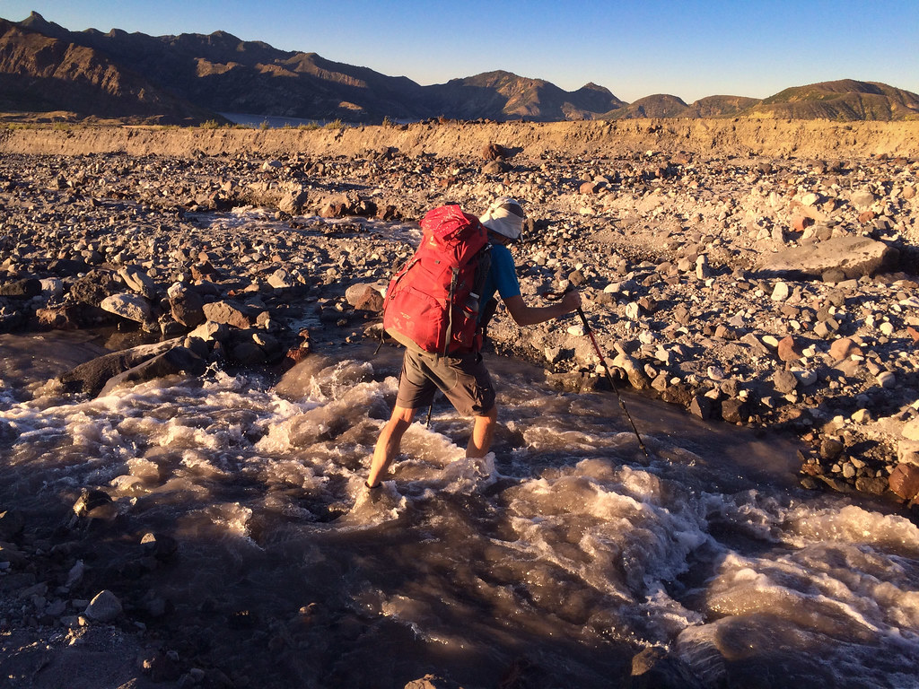
We got an early start the next morning. John was wearing his own boots with both pairs of socks, and his feet were much happier. I wore my too-tight boots with liners and found it tolerable. I so appreciate John letting me wear his boots the previous day (a sure sign of true love) as it enabled us to complete this trip with a reasonable level of enjoyment.
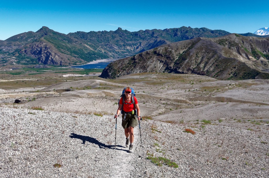
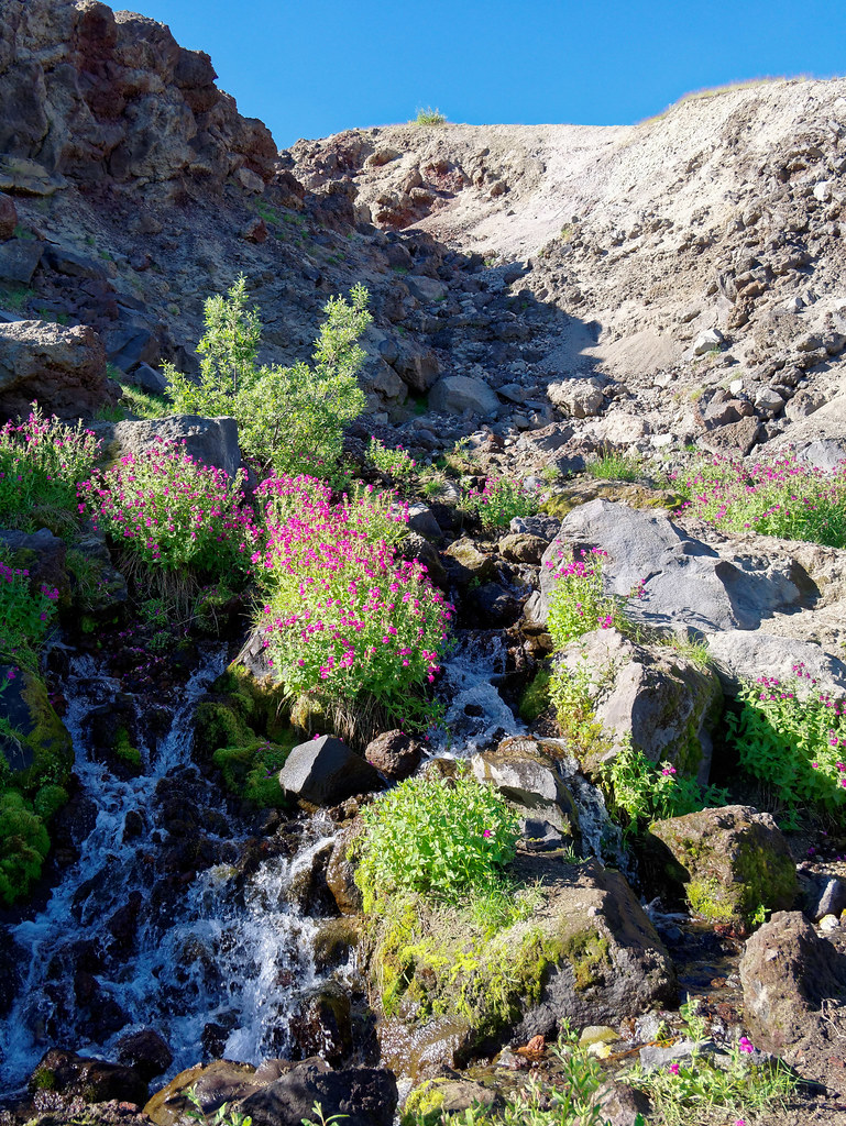
On our way up to Windy Pass …
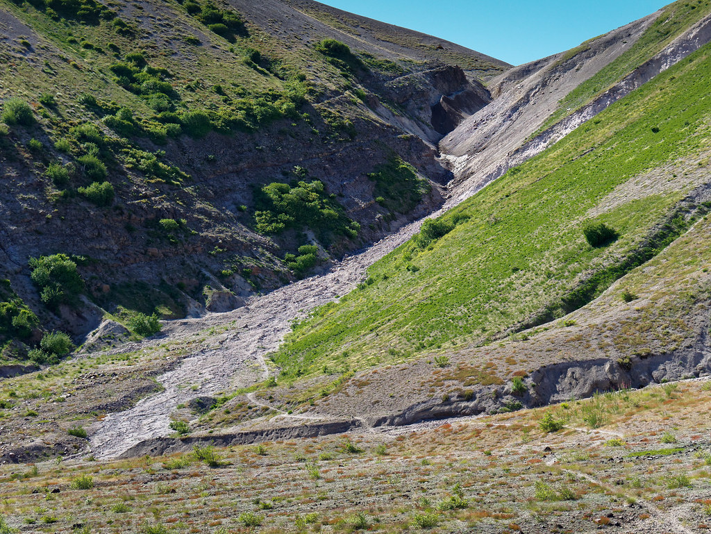
… we saw more signs of nature making a comeback in the blast zone.
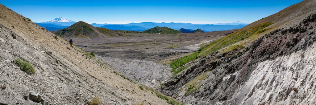
Coming down from Windy Pass, we were again getting views of Mount Adams …
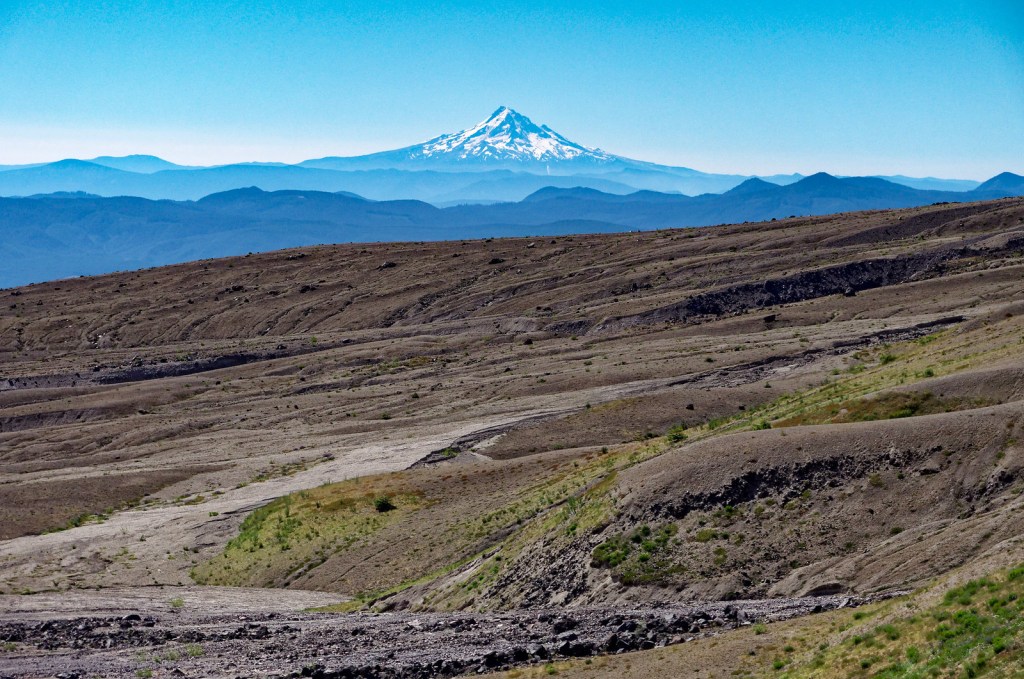
… and Mount Hood.
We crossed the broad Plains of Abraham …
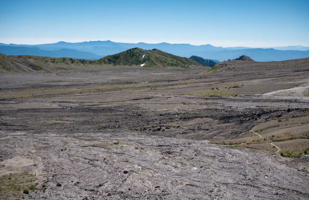
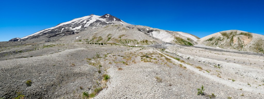
… as we continued around Mount St. Helens …
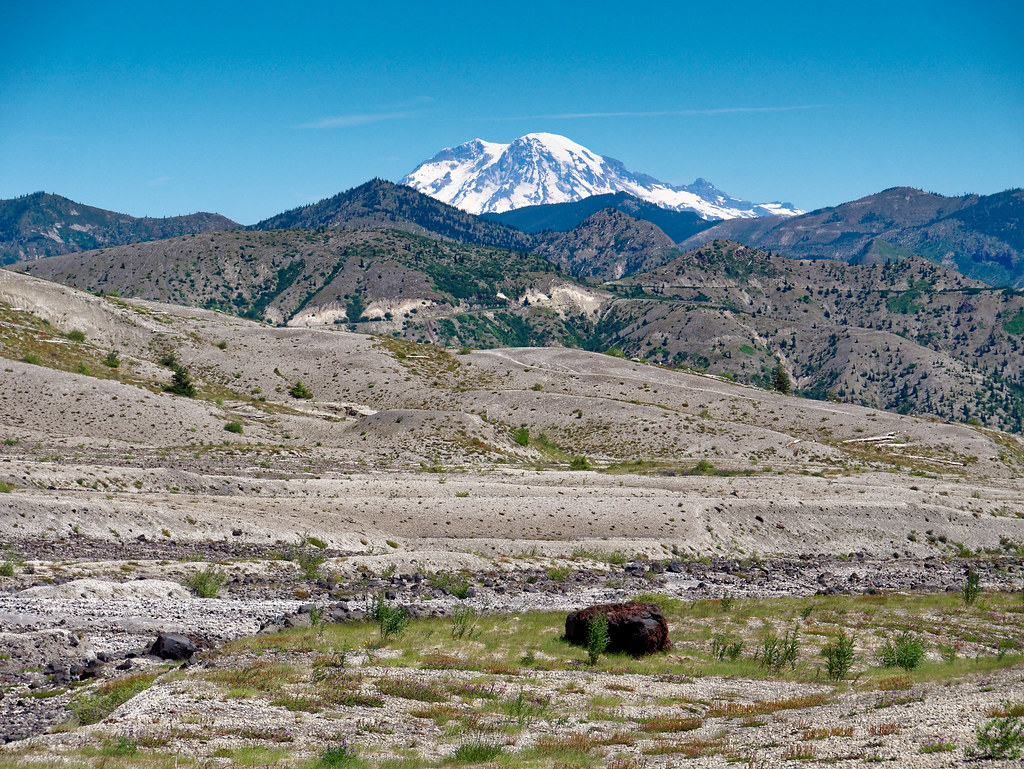
… and got a view of Mount Rainier to the north.
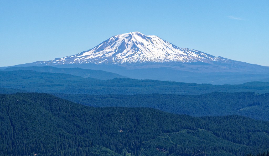
It was great to be high enough to have an unobstructed view of a mountain such as Adams all the way down to the massive shoulders.
We continued around the east side of the volcano, losing the view of the crater, so St. Helens looked more like a tame mountain again.
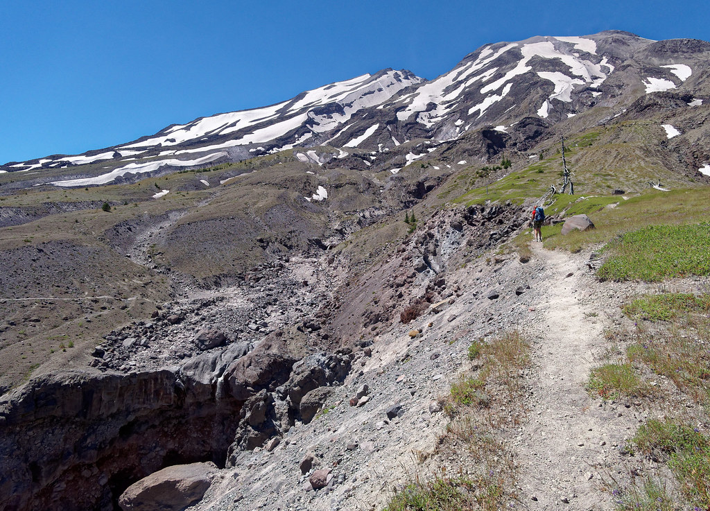
Now out of the blast zone, we encountered even more vegetation.
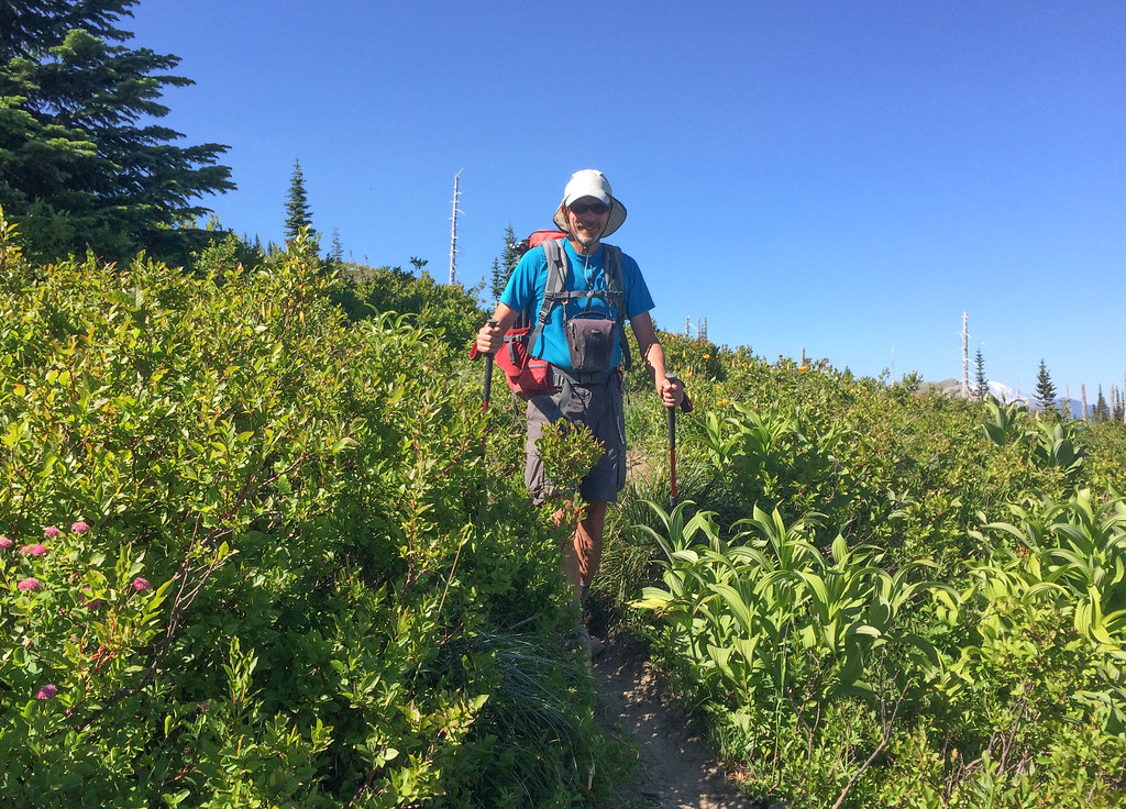
We crossed what I hoped was our last gully.
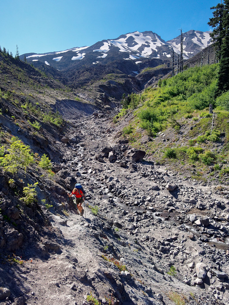
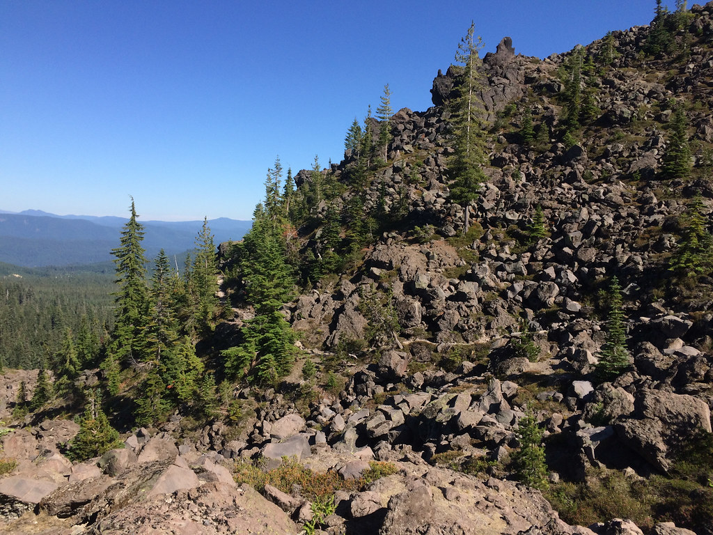
When I saw a boulder ridge ahead of us, I thought we would have to go over it. I was so relieved to see that the trail skirted it.
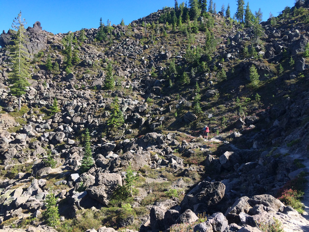
Then I realized the lava and boulder field that was coming into view beyond it was the one we had done the first day, and I would not have to cross it again. I heaved a sigh of relief.
We hiked out, drove back to our motorhome (and I finally got to take those blasted boots off for the last time).
All the photos from this trip are on Flickr.


Leave a Reply