The summer of 2015 was unusual for us. We did more day hiking than backpacking. Wildfires were plaguing mountains in California and Washington State, so we were in Colorado. But Colorado experienced a wet spring and summer and there was still quite a bit of snow in the mountains where we would want to backpack. Colorado is reported to have 300 days of sunshine per year. However, that includes days where it is sunny in the morning, but thunderstorms occur in the afternoon. It became apparent that our best option was to go day hiking in the morning and be inside in the afternoon. So, we decided to try our hand at hiking up some of Colorado’s famous 14ers—58 peaks over 14,000 feet. John was 62 and I was 61.
By far the best source of information about the highest peaks in Colorado is 14ers.com. This excellent site provides a wealth of information, including route descriptions and recent trip reports. It also contains extensive photos illustrating the route (or routes) such as this image of the route up to the summit of Mount Antero. While the route in the photo below is straightforward, some are quite convoluted and the photos can be invaluable.
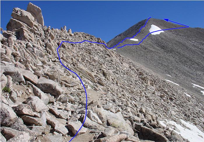
John perused recent trip reports to find peaks where routes were not too impacted by snow. We were living full-time in a motorhome at the time, so we were quite mobile. We stayed in a campground that was within easy driving distances to several peaks in the Sawatch Range.
Access to trailheads of many 14ers involves driving on bad roads requiring high clearance and often 4-wheel drive. This is one of the reasons we bought our Jeep Cherokee Trailhawk and we were not disappointed by its performance.
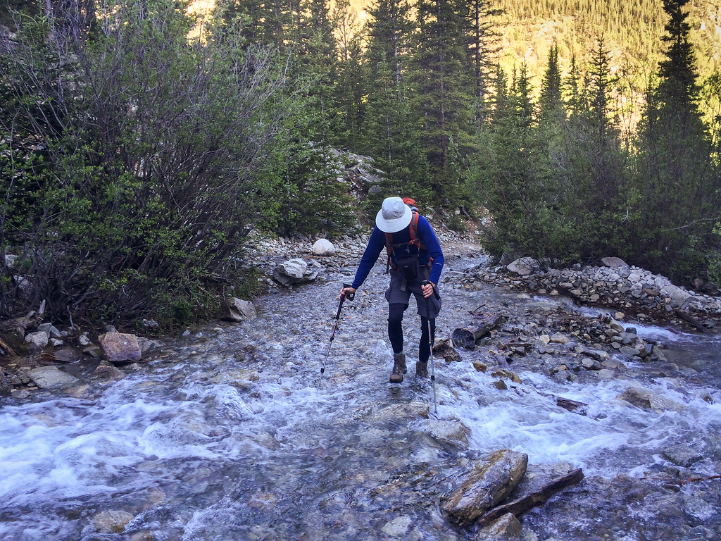
The first peak we hiked up was Mount Antero (14,271 feet). I resist saying we climbed it as there was nothing technical involved. Access to this trailhead required us to ford a creek that was about a foot and a half deep. We parked not long after, although we could probably have driven up higher. It all depends on how much damage you are willing to risk to your vehicle.
We began our hike and encountered more creek crossings which fortunately were not as deep.
As this was our first hike at altitude that year, we knew we could have trouble. We weren’t acclimated yet and neither of us was in peak condition. In addition to the increased difficulty breathing, we both experienced headaches. Fortunately, the weather forecast was favorable, and the all-too-common afternoon thunderstorm was not predicted until 5 p.m.. We believed we should have time to complete it even at our slow pace.
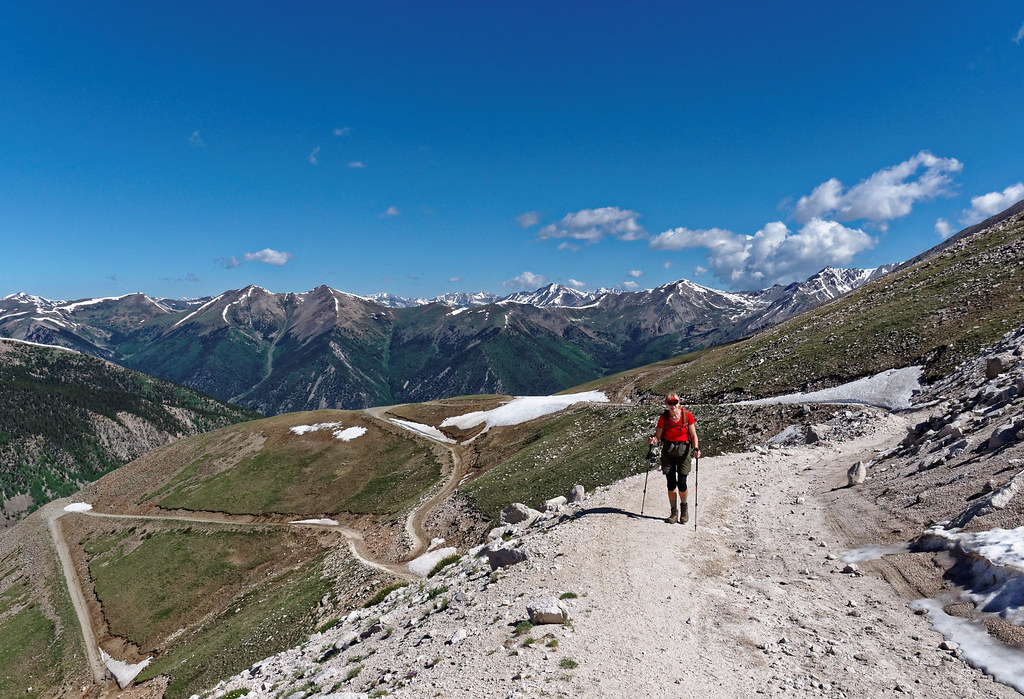
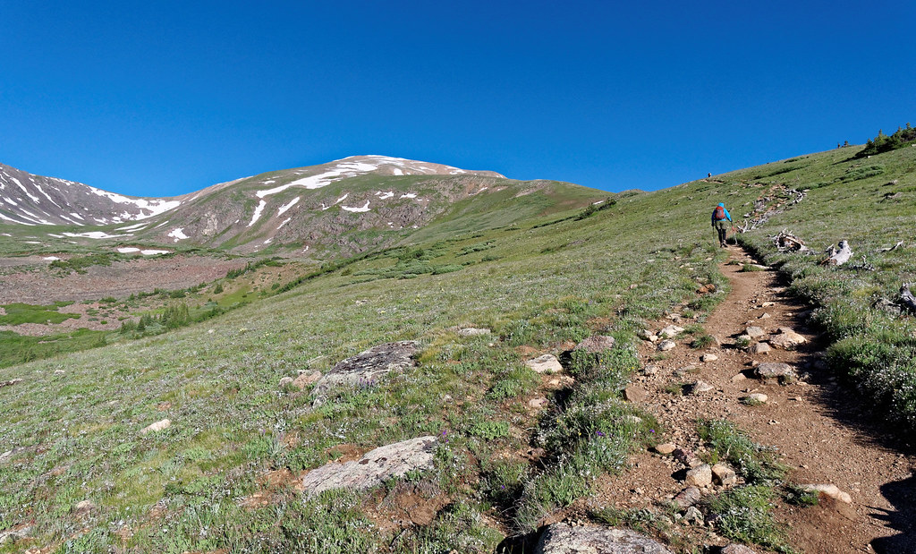
There are many old mining roads in this area, and the trail follows a road most of the way up.
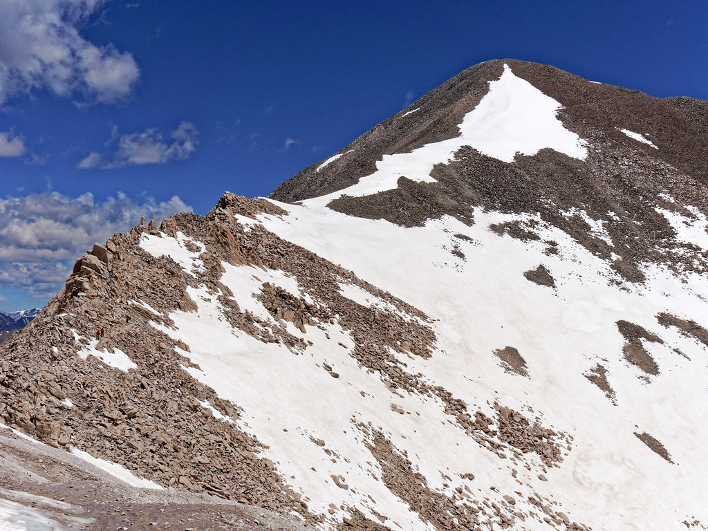
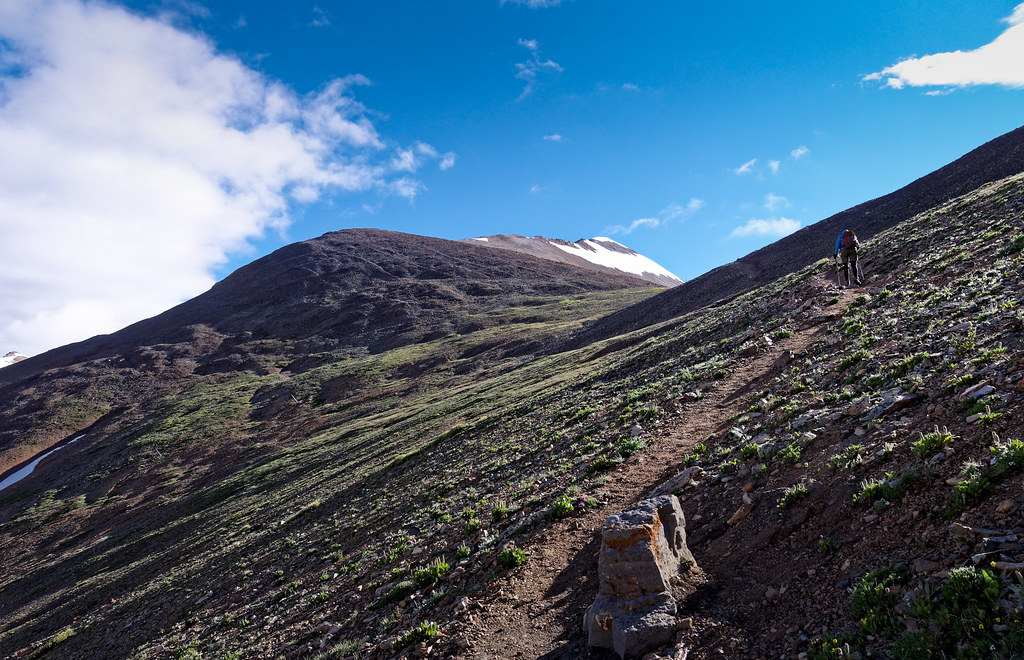
As we ascended, we left the road behind and headed up the ridge where we crossed some small snow fields as well as some talus on our way to the summit.
As we headed down, we saw dark clouds forming in the distance, so we began to hurry. After it started to sprinkle, we decided to put on our parkas and new (and untested) rain kilts. However, actual rain did not materialize so we soon took off our rain gear. The weather remained dry until we got out but a monster of a hailstorm passed through later in the day.
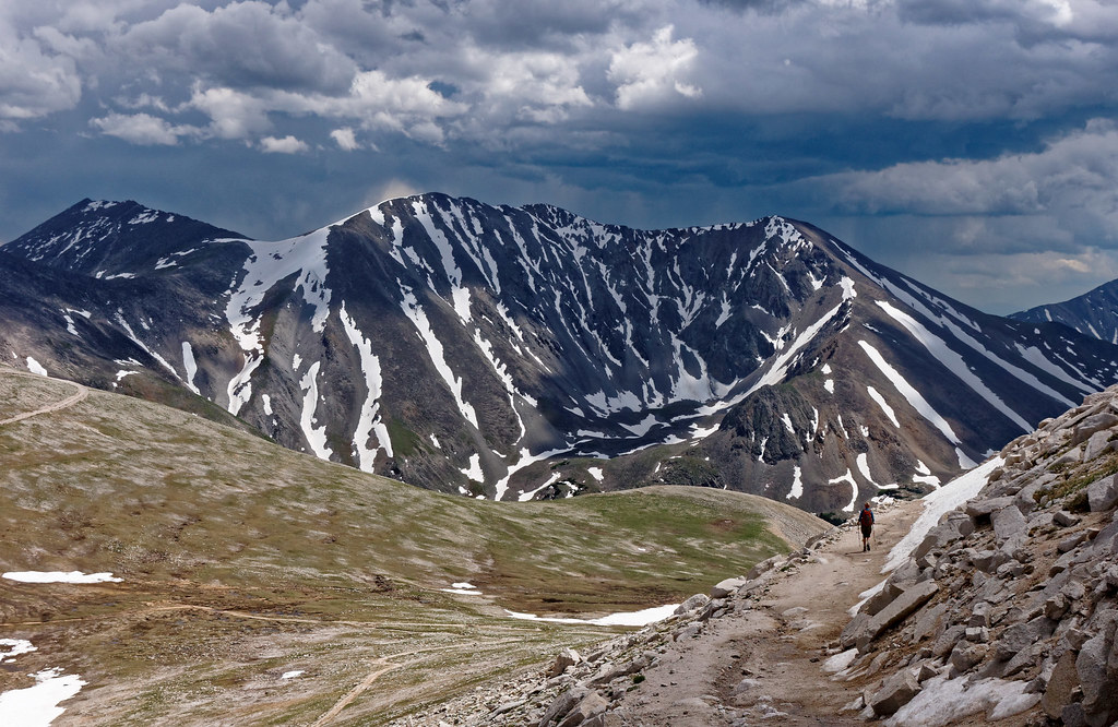
The following day we heard that several people had been caught in multiple lightning strikes on Mount Bierstadt, another 14er. It was disconcerting because they apparently had no warning and the dark clouds formed directly above them. They were 500 feet below the summit when lightning hit and eight people were injured and a dog was killed. It gave us pause for thought. In our naiveté, we assumed all we had to do to be safe from lightning was to be lower than the summit. Fortunately, we learned that is not true.
The next peak we hiked up was Mount Princeton (14,200 feet). We wanted to get an earlier start so the day before we drove up the road to 11,000 feet and found a flat spot that was open for our tent. We also knew that sleeping higher would help with acclimatization. The next morning, we started out about 6:30 a.m. and were grateful neither of us had a headache like we did on Mount Antero, but I was a little nauseated at first. Fortunately, it subsided and all we had to contend with was shortness of breath. We hiked up the road until the trail branched off. We initially crossed a meadow before encountering this tedious rock field …
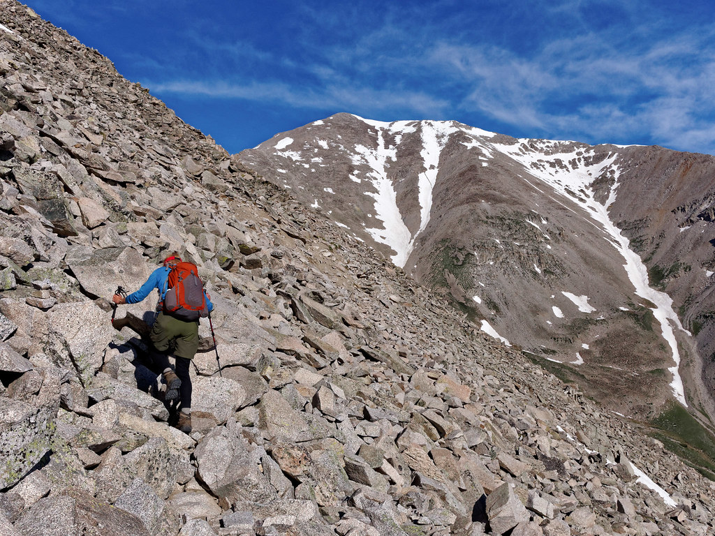
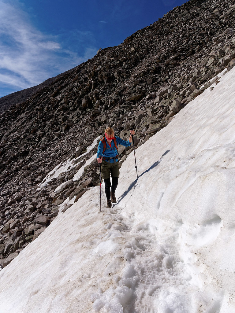
… and two snow covered slopes.
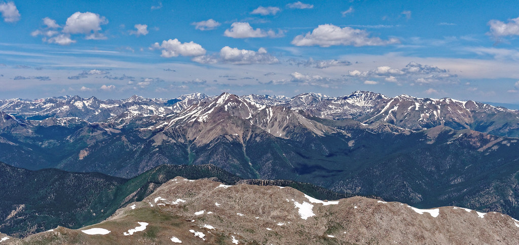
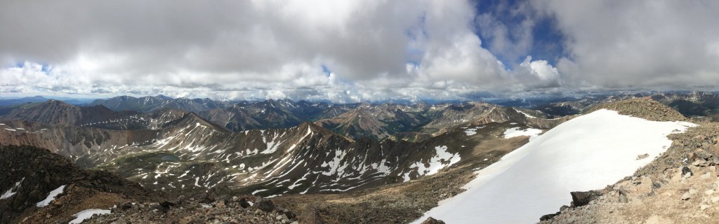
Once at the summit we thoroughly enjoyed the expansive view.
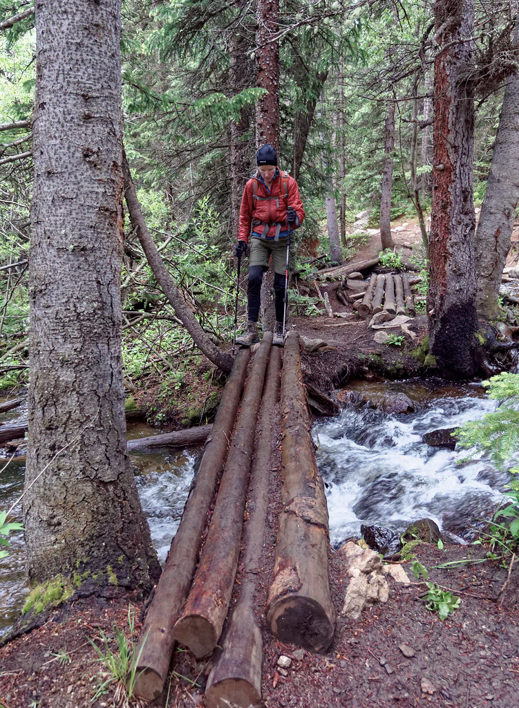
After two days’ rest we were ready for another. This time we hiked up Mount Yale (14,200 feet). We wanted to try for an earlier start, so we got up at 4 a.m. and were on the trail at 5:45 a.m.. We knew we would need the time as we would start at 9,900 feet and needed to gain nearly 4,300 feet. It was common for trails to 14ers to start out in the woods and we really appreciated bridges and logs across the creeks.
The trail to this peak reminded us so much of being in the North Cascades, especially when it started to drizzle. Once again, we put on our rain kilts and once again real rain did not materialize so we were able to take them off. We noticed that none of the other hikers we encountered seemed concerned about the rain. Even though we had not lived in the Seattle area for five years, we still had a Pacific Northwesterner’s aversion to getting wet. But people in Colorado seem to accept they will get a little wet, trusting that the rain will let up and the sun will come out again.
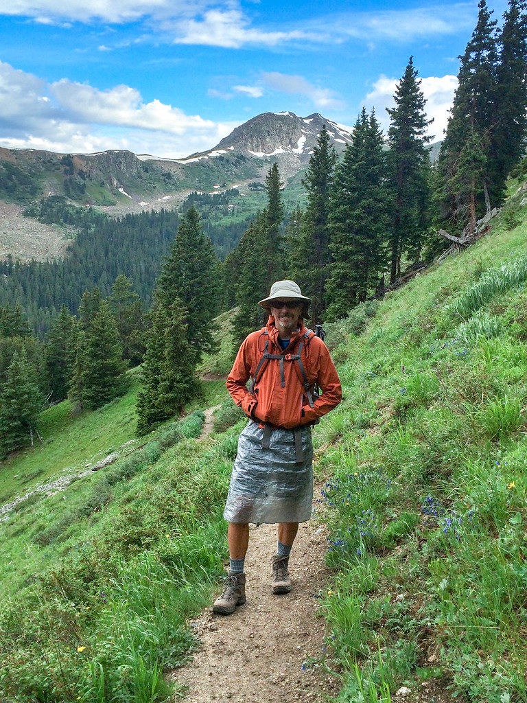
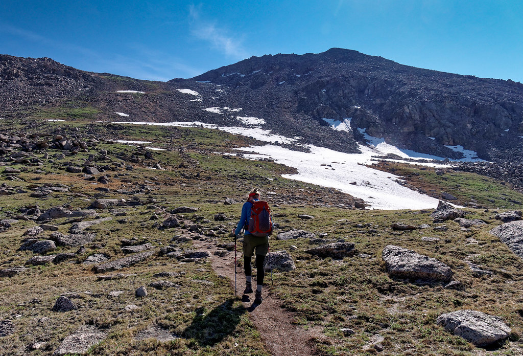
As we ascended, the clouds cleared. The terrain eventually opened up, and we got a view of our destination. There is a good trail most of the way up before encountering the very common talus that one must carefully pick a way through.
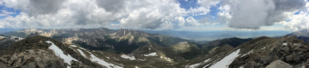
Once at the summit we were treated to another expansive view. As we descended back through the woods the rain started in earnest and we made good use of our kilts.
Two weeks after we did this peak, we were saddened to hear that a woman had been killed and three other hikers injured on Mount Yale. They were down to 12,000 feet, just above treeline, when it happened. We were reminded that just being off the summit does not render one safe from lightning. John later read a statement by a meteorologist who said if you are outside then you aren’t safe from lightning.
The next peak we did was Huron Peak (14,006 feet) and once again we got up at the painful hour of 4 a.m.. This hike would be seven miles round trip, and we would gain 3,500 feet. The trail starts in woods and ascends through meadows (as pretty much every other trail does).
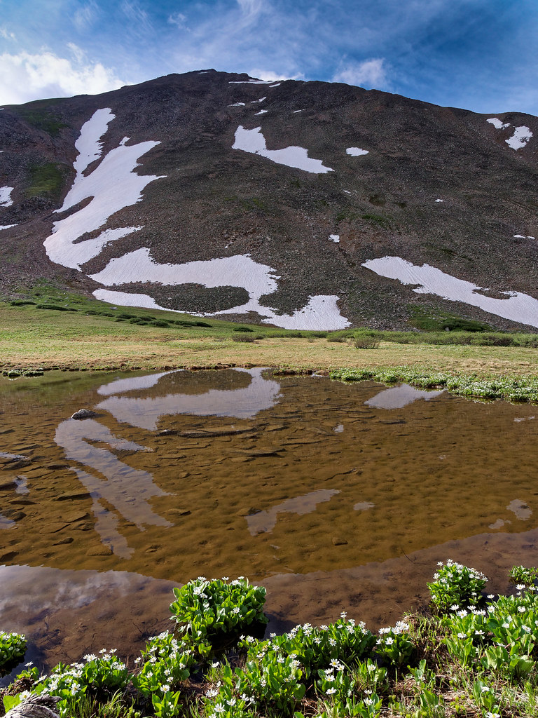
This was the most scenic hike up a 14er we had done so far …
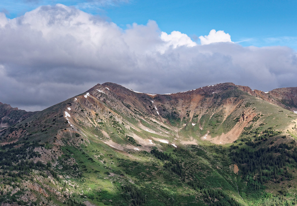
… and includes a great view of the Three Apostles and Ice Mountain.
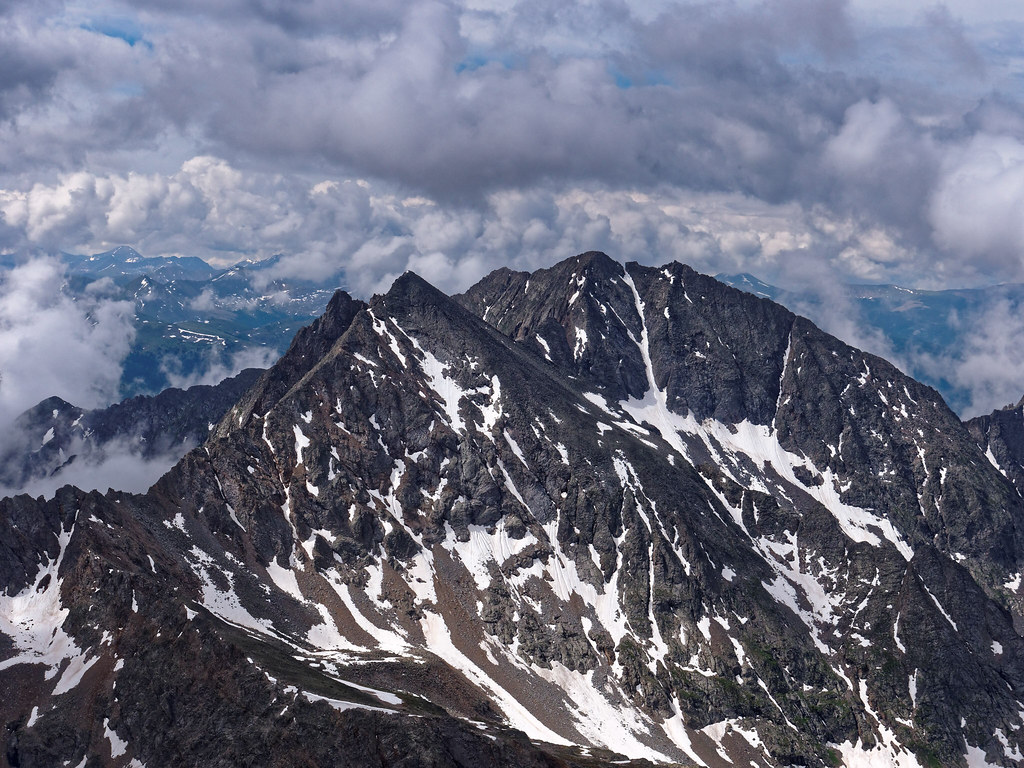
Once again, we saw dark clouds forming in the distance, so we quickly headed down from the summit. Fortunately, we did not hear thunder until we were well below treeline. I know we were not completely safe from lightning, but it was comforting to have so many tree tops high above us. I wasn’t thinking about the fact that lightning can travel down a tree and fry things in contact with the ground.
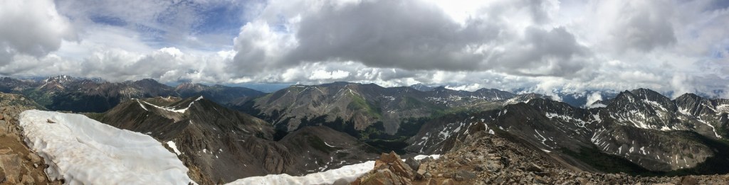
We had three days off before doing our next hike due to poor weather. This time we hiked up Mount Sherman (14,043 feet) in the Mosquito Range. This peak seemed like a cheat because we drove to 12,000 feet and the trail is only 4.6 miles round trip. But the weather forecast was questionable, so we wanted to do a quick one. However, this was not a quick or easy hike. In the early morning, we had to cross icy talus and boulders before the trail opened up and we gained the increasingly windy ridge.
The forecast predicted breezy conditions, but the wind gusts almost knocked me over. In a weak moment I seriously considered turning around and I even started yelling to John ahead of me. I wanted to tell him I was turning back but the wind was so loud that he couldn’t hear me. Then I saw a family with small children heading up and decided if they could do it, then I could too. We have been amazed at how many parents do these high peaks with their small children. I guess kids in Colorado are either born tough or they are forced to become that way.
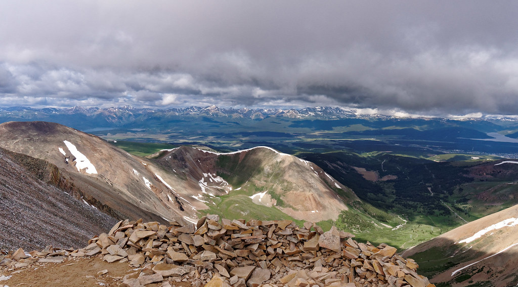
We stopped on the summit only long enough for a quick selfie and this view. Mountains in the Mosquito Range are more weathered and rounded than other peaks we have seen.
Our preference was to take two days off between peaks, but we had to take the weather into consideration, so we did the next 14er after only one day of rest. Mount Elbert (14,438 feet) is situated in the Sawatch Range and is the highest peak in the state. We did it on a Sunday. So far, we had been able to avoid hiking on weekends to miss the inevitable crowds, but we wanted to take advantage of the good weather window.
We would gain about 4,100 feet over 8.5 miles round trip. The forecast was good although it mentioned it could be breezy and I hoped that would not translate into the gusty winds we encountered on Mount Sherman.
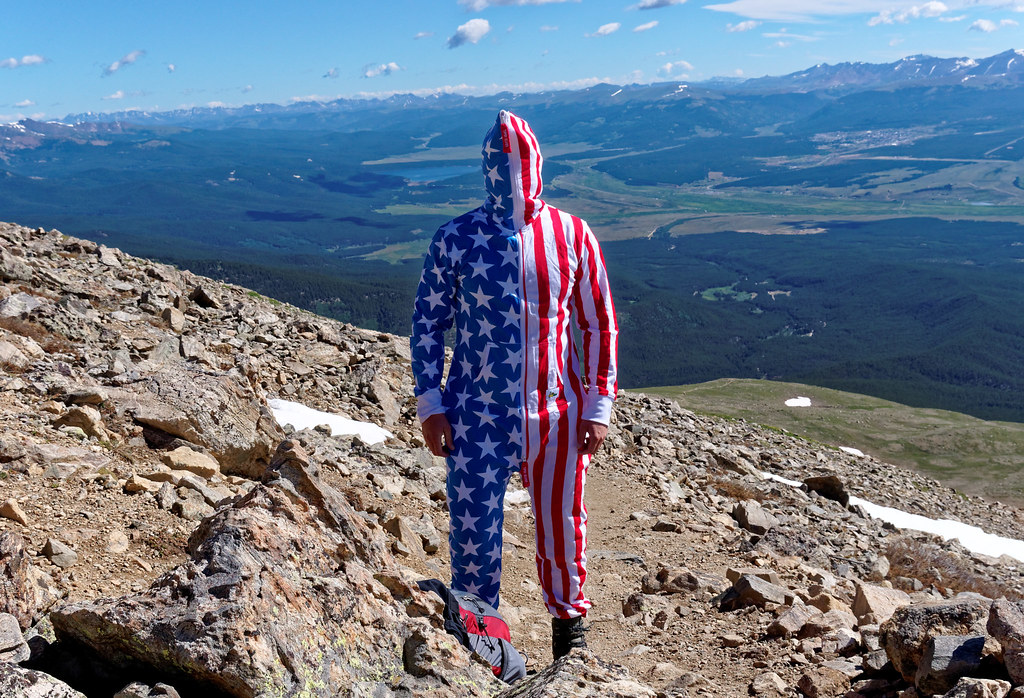
Unfortunately, it did. We bundled up in our parkas and were amused by what one hiker wore for wind protection.
There were about 40 people on the summit when we were there. That and the wind did not encourage us to hang out there for long.
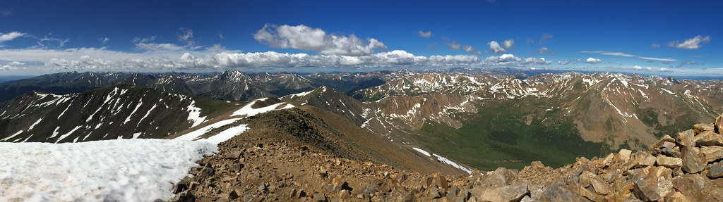
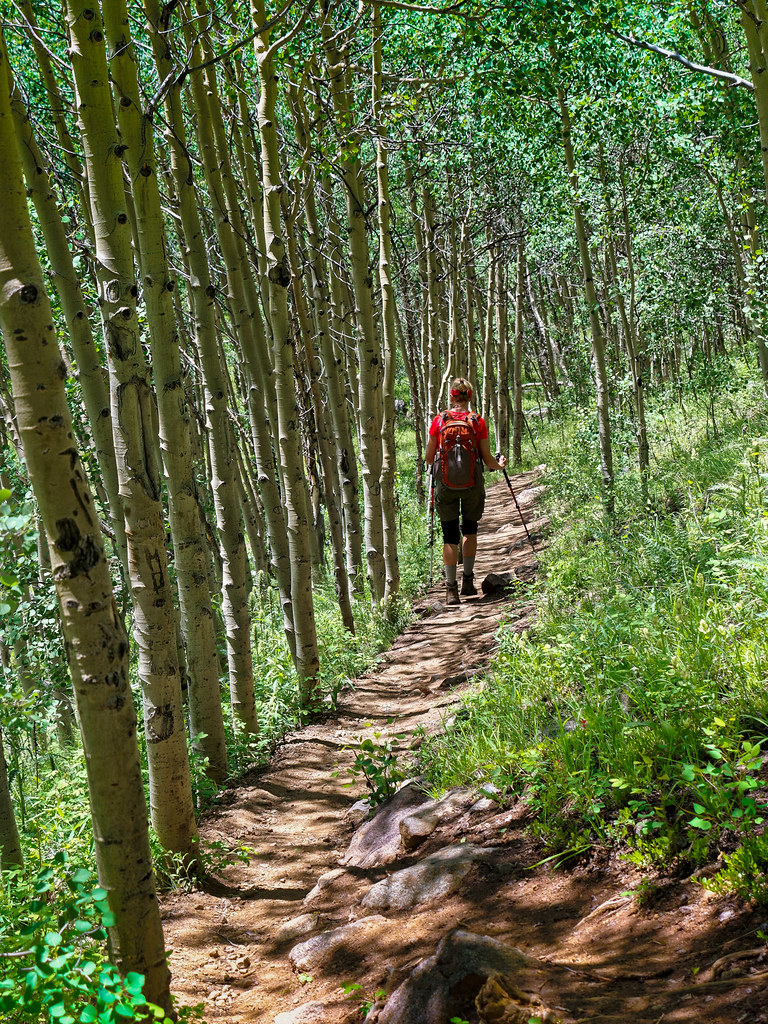
As we descended, we again went through a lovely Aspen forest, something we enjoyed seeing this time as it had still been pretty dark when we hiked through it earlier that day.
I was grateful for being able to take two days off before our next hike (mostly as a break from getting up at 4 a.m.). La Plata Peak (14,344 feet) was the next 14er on our agenda. We would gain 4,500 feet and cover 9.25 miles. This is a challenging trail for someone with bad knees as it has lots of step-ups, some stairs and some steep switchbacks.
On our way up we encountered two young women coming down. They had passed us not much earlier, so we were surprised they had been able to reach the summit and descend in such a short period of time. But they told us they had turned around early after encountering an aggressive mountain goat. We continued to hike up the trail but remained alert. Before long, we encountered a fellow who had also turned around. We thought there could be safety in numbers, so he continued up with us. Fortunately, we never saw the goat.
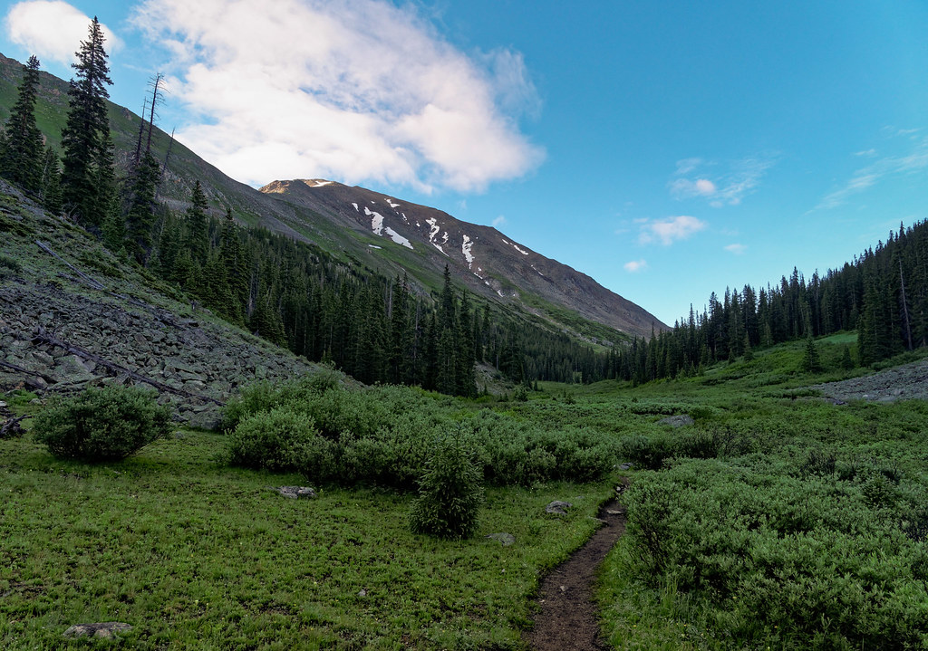
As is common with many of these peaks, after the trail goes through woods and crosses meadows, it finishes with talus, lots of talus.
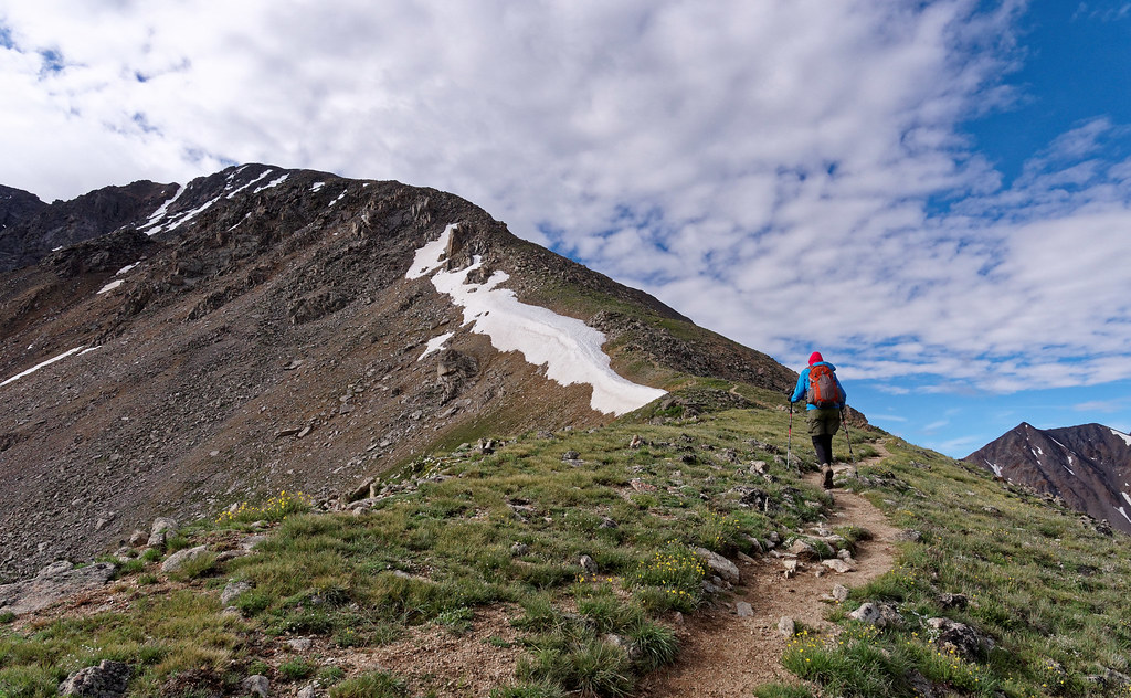
We had yet another expansive view under increasing clouds. We headed back down and the trail gave my knees quite a workout.
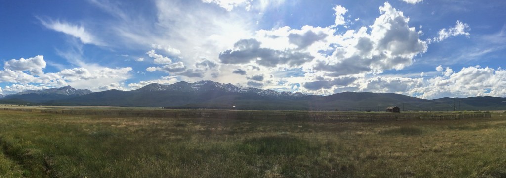
Due to the weather forecast, we did our next hike after only one day’s rest. From a distance one can get an idea of how Mount Massive (14,427 feet) got its name.
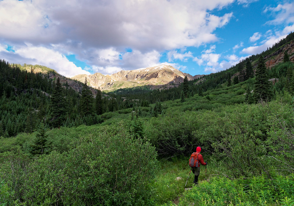
The trail took us through a lot of brush …
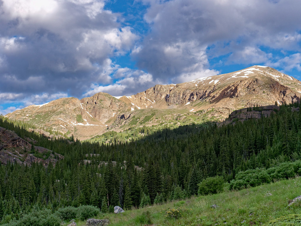
… and it was daunting to see our destination so far away and so high up. But we have learned from experience that by putting one foot in front of the other and given enough time, one can travel great distances. By this time, we both felt better on these hikes as we had been acclimatizing for over two weeks. That is not to say it wasn’t still challenging.
Once on the ridge we were faced with the sight of many false summits ahead.
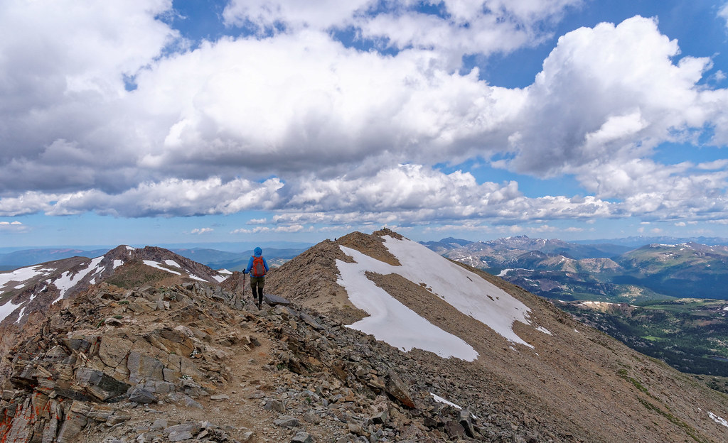
Even though the views from the summit of these peaks tend to look alike we still enjoyed them as a reward for our hard work.
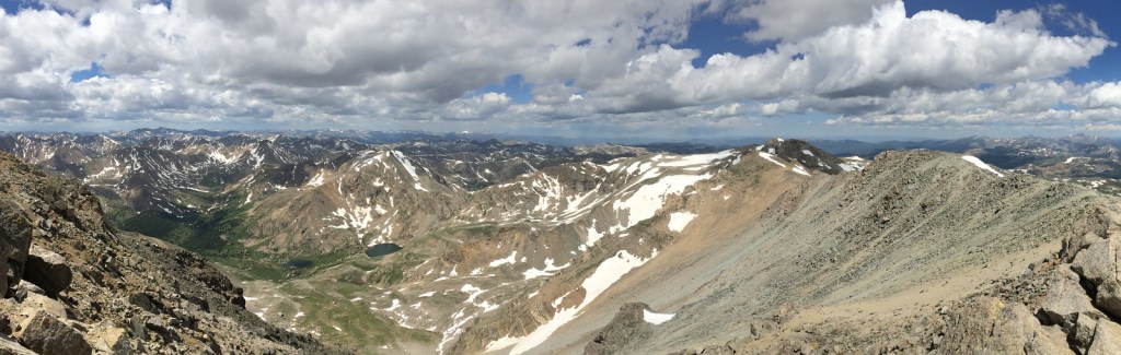
We had four (glorious) days’ rest before hiking up Missouri Mountain (14,071 feet). The trail to this peak shares the trail to Mount Belford and the nearby Mount Oxford. We considered backpacking in and doing these peaks on back-to-back days saving us some elevation gain. However, we decided we’d be more comfortable doing them as day hikes with some rest days in between.
For Missouri Mountain we gained 4,500 feet and hiked 10.5 miles.
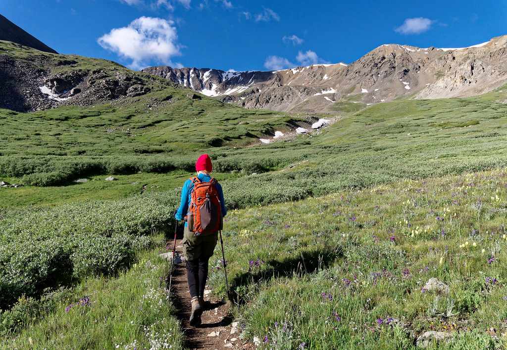
Missouri Mountain also has some false summits that need to be negotiated.
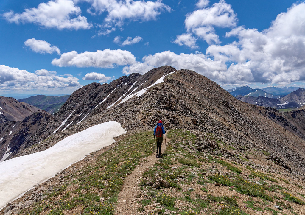
The trail is straightforward with one tricky spot involving some ice and exposure closer to the summit.
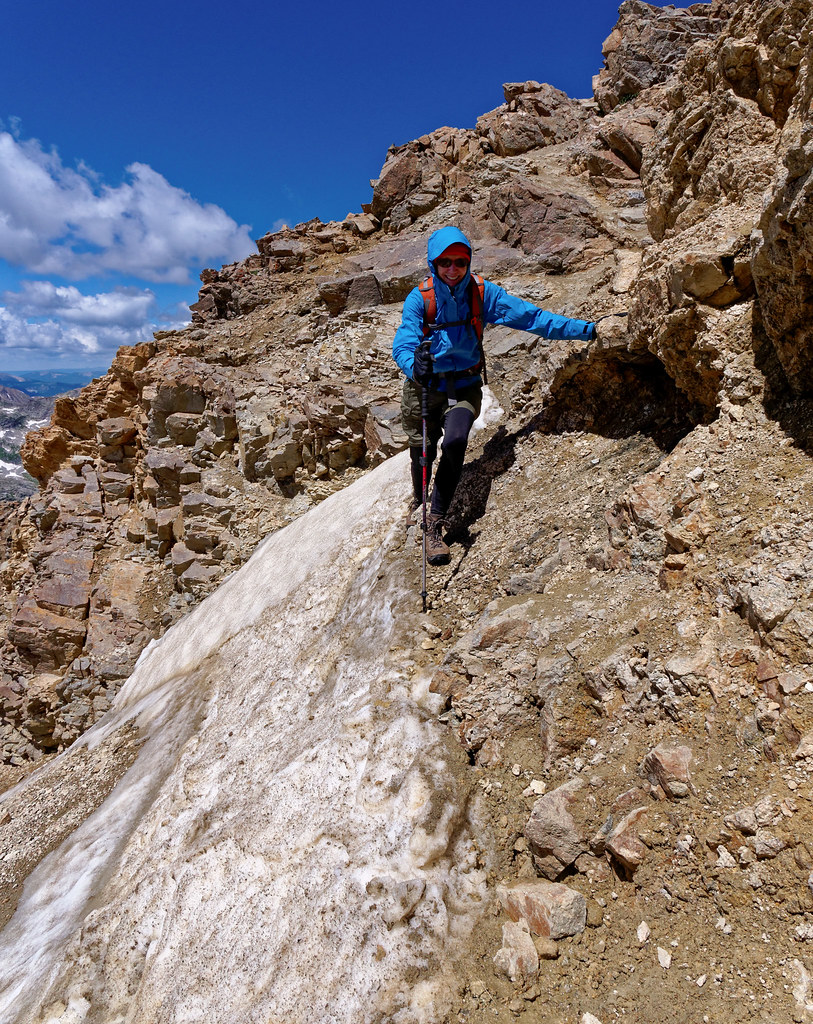
The view from the summit includes seeing Mount Belford (14,202 feet) and Mount Oxford (14,158 feet) which we would do on our next hike. It took us 11 hours to do this hike primarily because John stopped to talk to other hikers on multiple occasions.
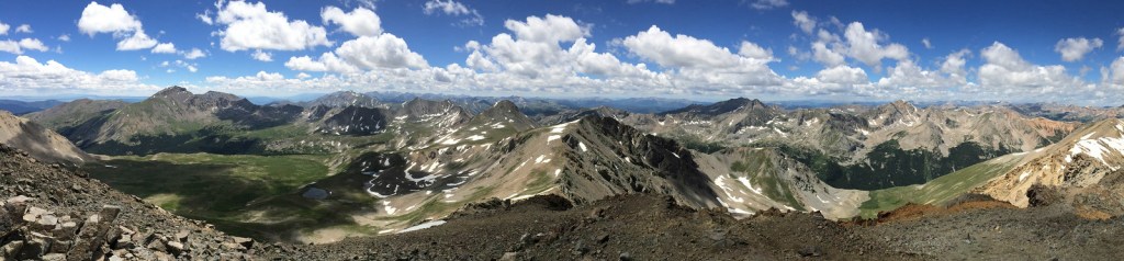
Three days later found us back at the same trailhead. Only this time, we would take the trail to Mount Belford (14,202 feet). This involves 4,500 feet of gain and a total of eight miles but by continuing along the ridge one can also reach the summit of Mount Oxford (14,158 feet). However, this adds 1,300 feet of gain and three miles to the trip for a total of 5,800 feet and 11 miles.
Once again, the weather forecast encouraged us to do these peaks on a weekend day so we knew it would be crowded. As we would undoubtedly need lots of time, John was forbidden to stop and talk to anyone. But our first concern was finding a parking place. Even though we were there at 5:40 a.m., the parking lot was full, and cars were already lined up for quite some distance along the narrow gravel road.
The trail felt relatively easy until we reached the cut-off for Mount Belford and started up the numerous steep and crowded switchbacks and step-ups.
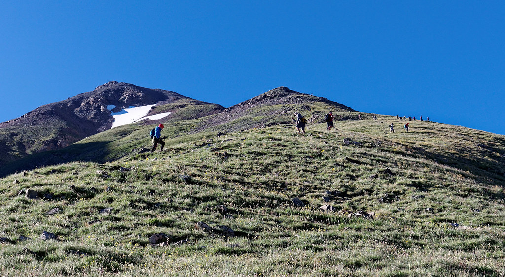
We began to see the crowd at the summit and I reminded John to not start talking to anyone.
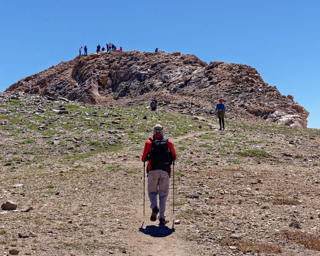
We stopped on the summit long enough for a quick photo before heading down the steep, loose trail that would take us toward Mount Oxford. We lost about 650 feet before reaching the saddle between the two peaks. As we crossed the saddle, we could look back at Mount Belford and were pleasantly surprised to see how few other hikers were also continuing to Mount Oxford.
Mount Oxford (14,158 feet) is 1.5 miles away, which sounds close but at that altitude an additional 3 miles and 1,300 feet of gain is not inconsequential.
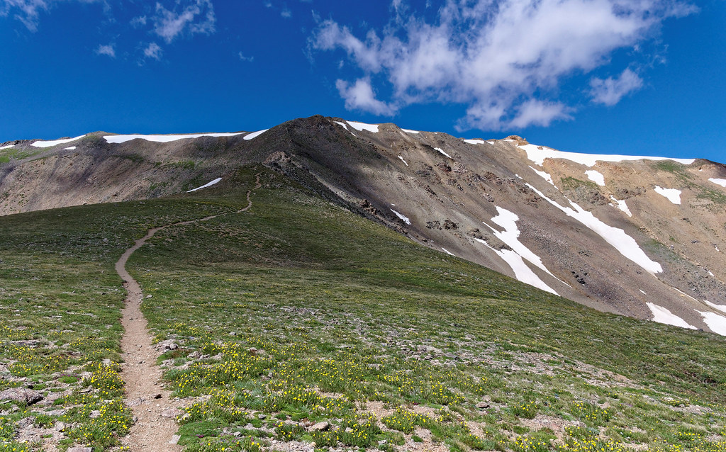
As we had many miles to go and clouds were beginning to move in, we didn’t linger on Mount Oxford. We had planned to take the shortest way back which was going back over Mount Belford and down the excruciatingly steep trail from it. However, we had another option. We could take the more gradual but longer trail down to Elkhead Pass. We figured it would only add about a mile to our hike, so it seemed worth it. And it was. Not only was it more knee friendly we got a great view of Missouri Mountain and the curving pass below it.
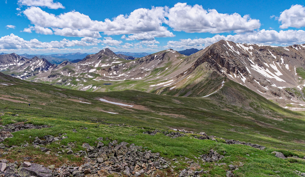
Three days later found us on the trail to Mount of the Holy Cross (14,007 feet). We would gain 5,600 feet and cover 12 miles. The reason one gains so much elevation is that the trail initially loses 1,000 feet as it descends through some woods and across a creek. We got some great views on the way and knew enough to not get discouraged by the sight of how far we needed to go.
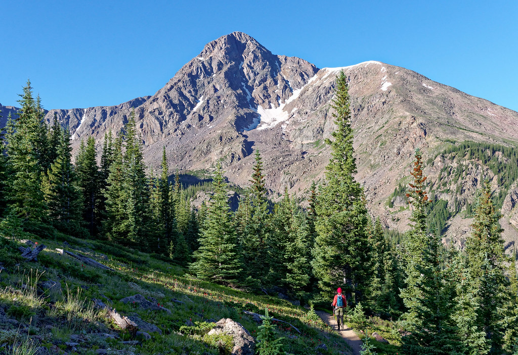
There is a good trail until about the last 300 feet. We then had to painstakingly pick our way through large rocks and boulders. However, we thoroughly enjoyed the more jagged nature of this peak and it became our favorite of all the 14ers we have done thus far.
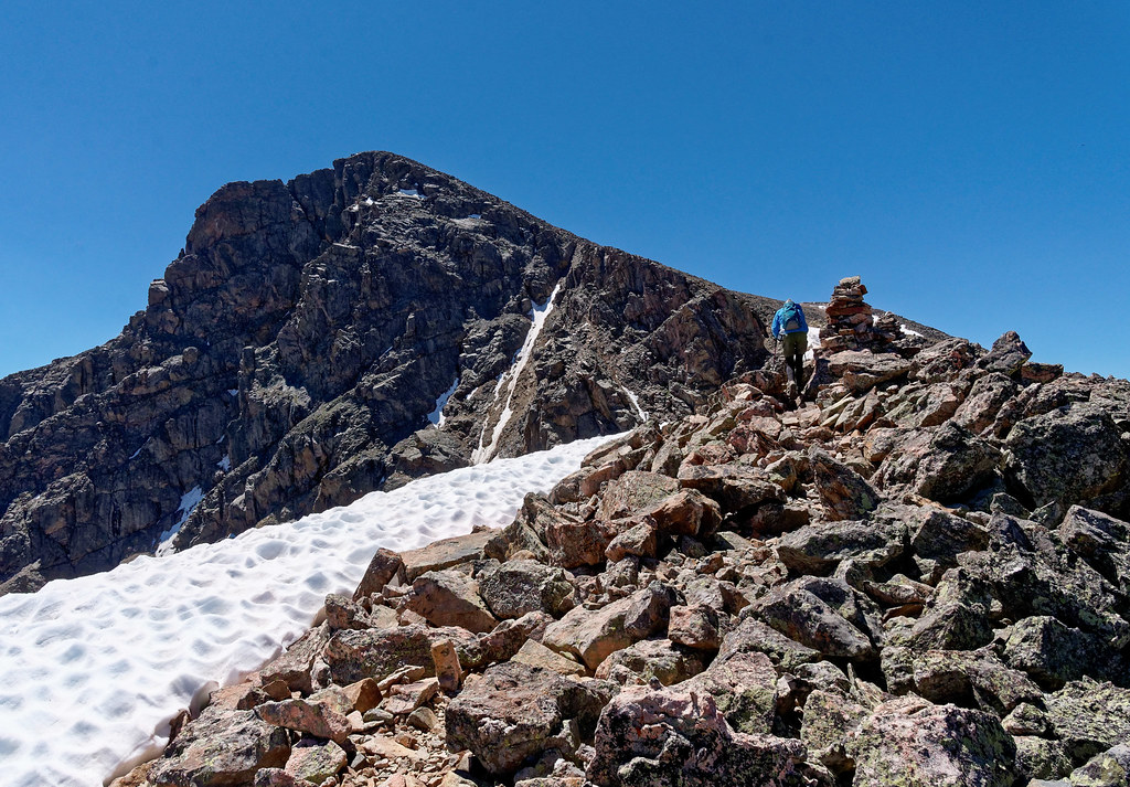
Again, we were rewarded with great views from the summit. The more 14ers we did the more we saw 14ers we had already done in the distance.
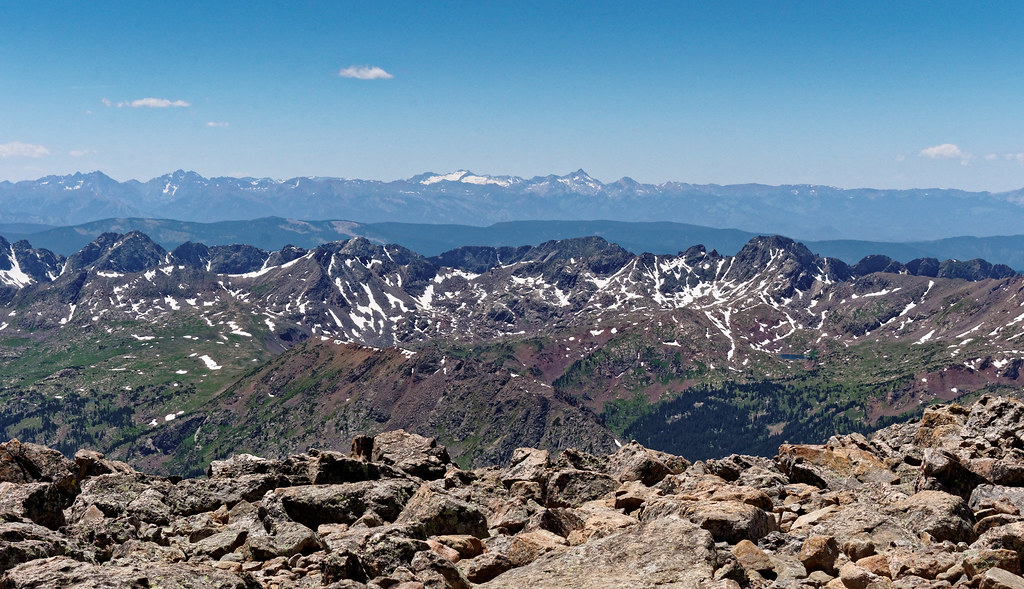
This was the 12th 14er we had done which was about how many we had previously thought we would do this year. But it was only the end of July, and we were still disinclined to go backpacking in the wetter than normal weather. Therefore, we decided to keep working our way down the list of 14,000-foot peaks.
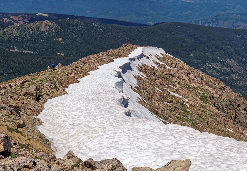
That made Tabeguache Peak (14,158 feet) our 13th (I am not particularly superstitious but that may change). The route we took to this peak, the West Ridge Route, is a less commonly used one. The Forest Service does not encourage its use, so it is not maintained. However, recent trip reports indicated it was usable and the trailhead was closer to where we were staying at that point in time.
Initially the trail (what is left of it) goes through some woods with downed trees but it eventually opens out into meadow.
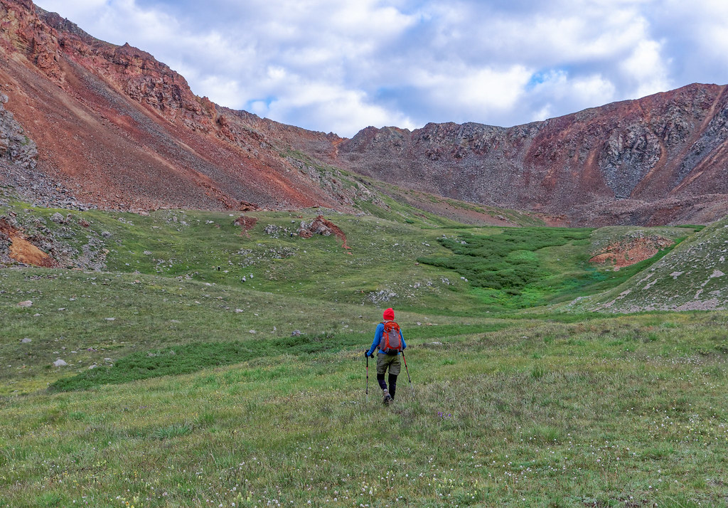
The route skirts some willow and goes over some scree before ascending steep, loose rock. It was very slow going all the way to the summit.
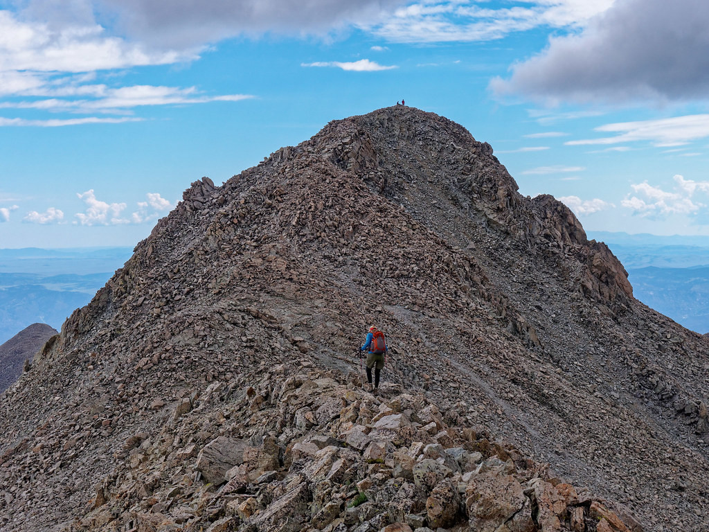
By continuing across Tabeguache one can get to Mount Shavano (14,230 feet). It involves losing 500 feet and hiking for another mile. Our plan was to go over to Mount Shavano, back over Tabeguache and down the way we came up. As always, one must keep a close eye on the sky and decide if there is enough time to do a second peak. We decided there was, so we left the summit of Tabeguache and headed to Mount Shavano.
We were more than halfway across the saddle between the two peaks when dark clouds began to quickly move in. We decided it would be fastest to hike over Shavano and down the other side rather than backtrack. Our reasoning was that we would then be descending on the more commonly used route, and we assumed it would be faster than the one we had come up. It would cause us to come out about four miles from where our Jeep was parked but we could easily walk to the campground where our motorhome was parked. The following day, John would have to walk 3.6 miles from the campground to retrieve our Jeep. Or perhaps he could hitchhike.
We were part way up Mount Shavano when we were startled by booming thunder directly over our heads. We realized we had miscalculated how much time we had and became quite anxious. There was swearing involved. To make matters worse, it began to hail quite heavily making the rocks wet and slippery. We were concerned about finding the route down the other side of Shavano and decided the most reliable way to find it was to go the rest of the way to the summit and pick it up there. We figured we would be in no more danger than we already were.
It was quite invigorating to be continuing up a 14,000-foot peak while a storm boiled around us. Once over the summit we found the correct route and headed toward a saddle. From there we had a good trail. Even though we were well below the summit, we didn’t slow down. I thought about that woman who was killed on Mount Yale. Fortunately, the thunderclaps began to sound farther away and we never saw any lightning. We were tired and hungry but pressed on until we were below treeline. Once there, we decided it was probably safe enough to stop to take a break to eat something. I know that statistically more people are killed on highways than are killed by lightning but at the time, that thought was not comforting.
After our harrowing experience, we waited for a more rock solid weather forecast for our next hike. This would be another opportunity to do two peaks in one day, Mount Harvard (14,424 feet) and Mount Columbia (14,075 feet). We first considered doing it as a long day hike but at 15 miles with 6,100 feet of elevation gain, we thought better of it. Therefore, we backpacked in four miles, gaining 1,900 feet, and camped just below treeline at 11,800 feet.
Our plan was to do a seven-mile loop the next day including both peaks gaining 4,100 feet before returning to camp. We had a good forecast, partly sunny with no thunderstorms, but it was expected to be breezy (which we had learned is Colorado speak for winds that might knock you down). It felt good to camp out overnight and John especially enjoyed having the opportunity to take advantage of the evening light.
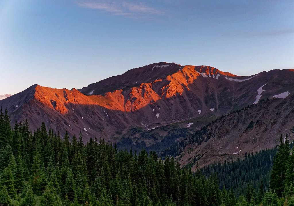
We started at 6 a.m. and had a good trail most of the way up Mount Harvard …
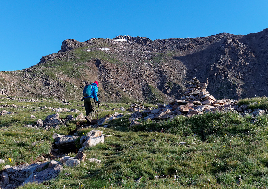
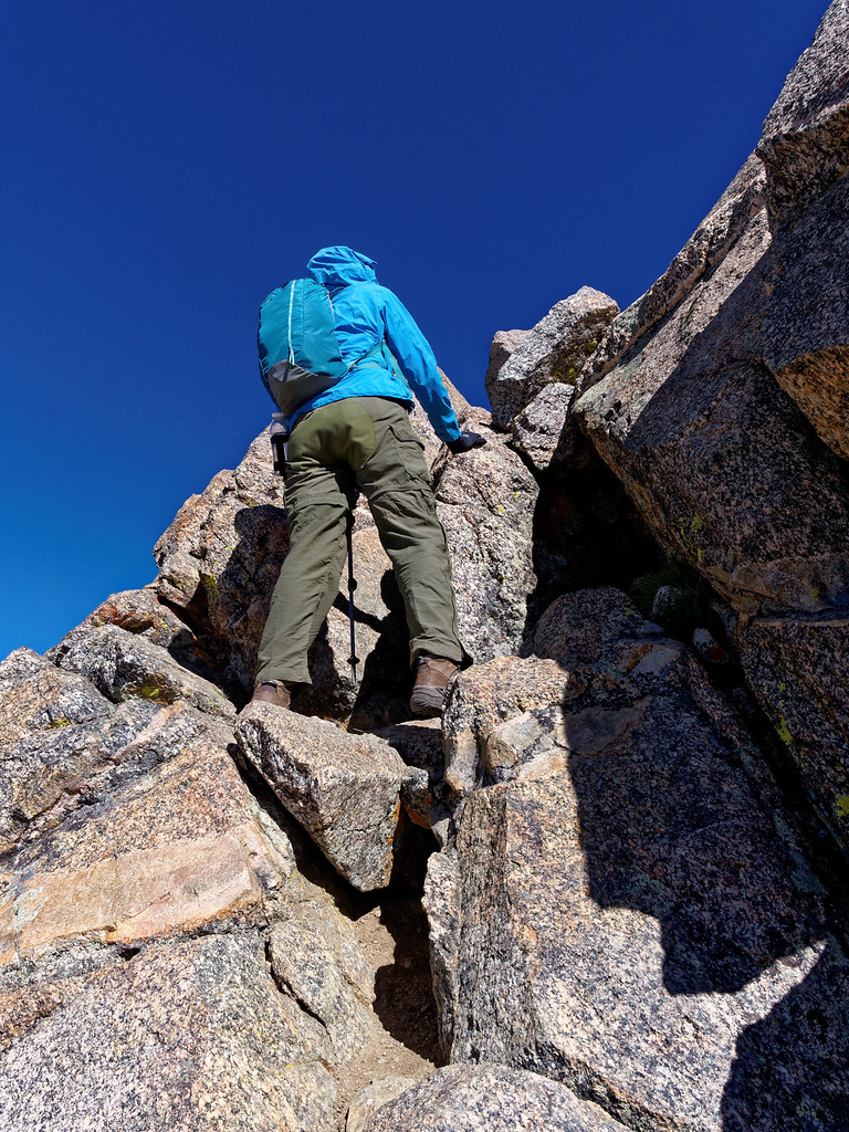
… although there is some rock that must be negotiated prior to reaching the summit.
It was only 2.5 miles to the summit and we gained only 2,600 feet, so we arrived just before 10 a.m.. A record for us.
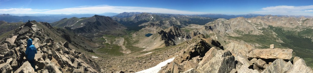
Once on the summit, we needed to make the decision about whether to continue over to Mount Columbia. The route description indicates we would “need at least a couple of hours”. As the weather looked good, we decided to go for it and continued on the 2.75-mile-long traverse. We both had the route description complete with photos loaded onto our iPhones and John had the GPX for the route, so we felt well prepared.
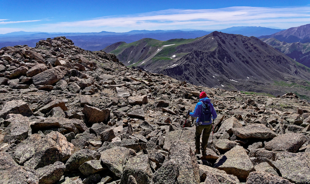
We made our way across the rocky saddle to Point 13,516 (only in Colorado does a point this high not merit a name). This is where the route drops to 12,800 feet. I looked carefully at the photos to avoid the steep gully that was not recommended (indicated by the red dotted line to the right in the photo below).
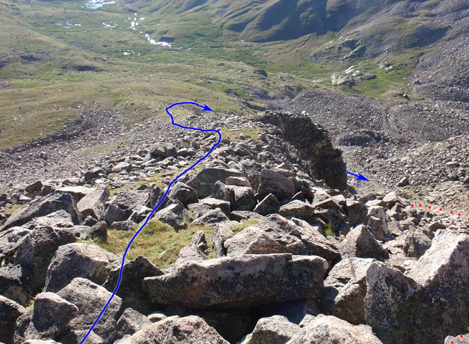
We got off route a bit, but it was probably inconsequential. We dropped a little lower than the route indicated in the photo below, but still had to cross some large talus and boulders. However, it looks to me like you must do that no matter where you go unless you drop all the way to the meadow in the lower left of the photo below.
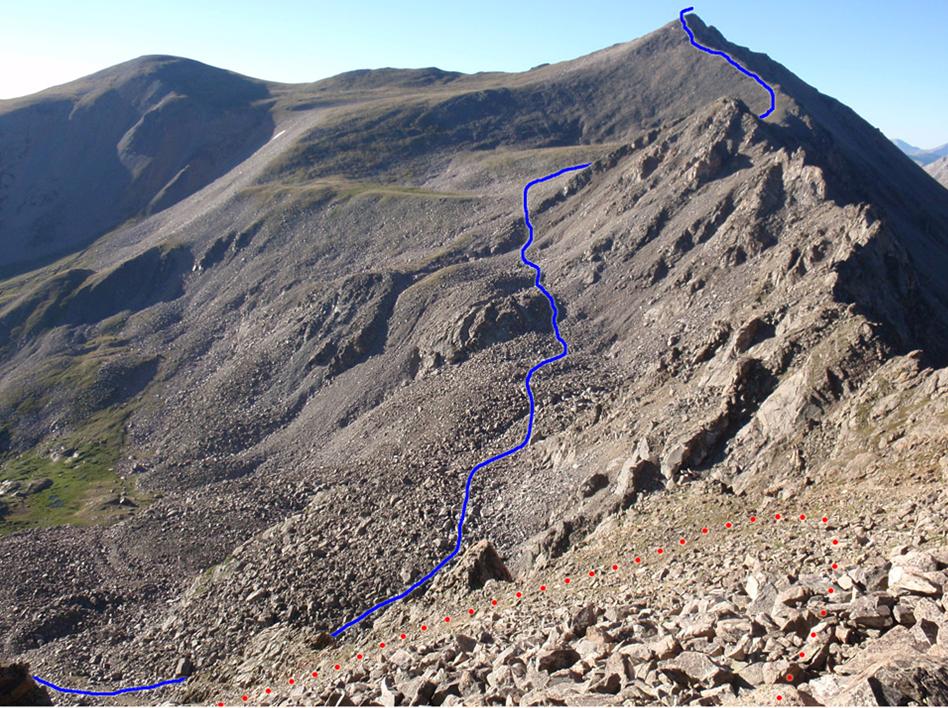
Bill Middlebrook, the author of the route descriptions on 14ers.com, has an understated sense of humor. He states, “If you like talus, this route is great for you!” and instructs one to “… begin your ascent out of a world of talus” and that you should continue “over more and more talus”.
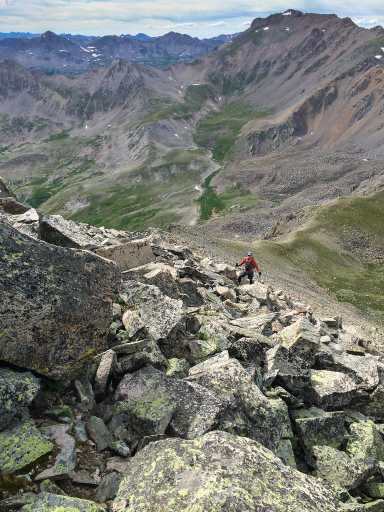
It took us five hours to get from Mount Harvard to Mount Columbia’s summit. We were quite relieved the weather was still mostly clear with just some thin white clouds.
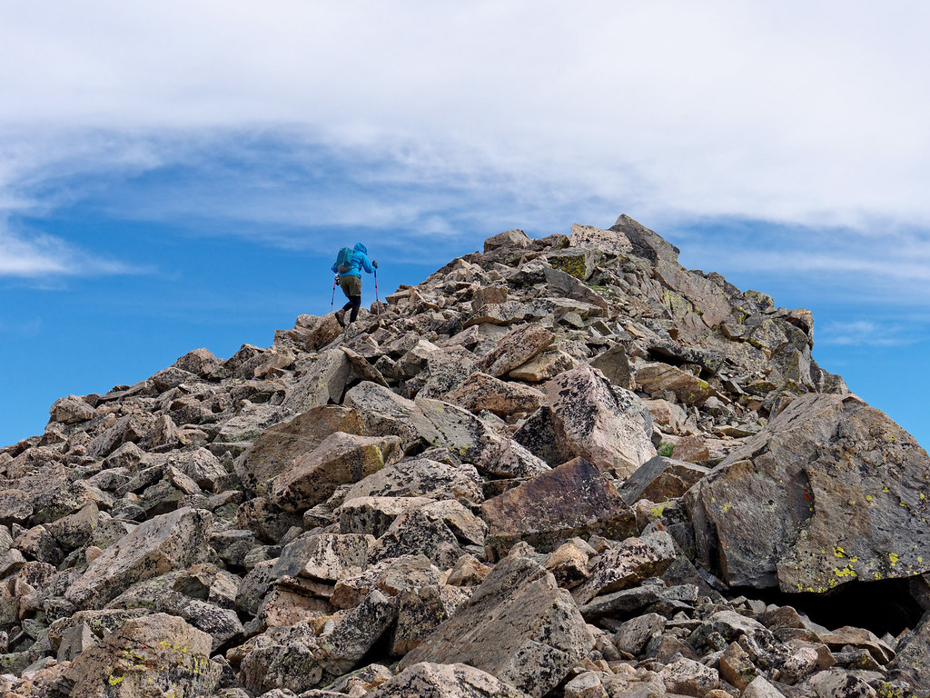
Once on the summit, I can’t say we were properly awed by the view. We were both just too tired.
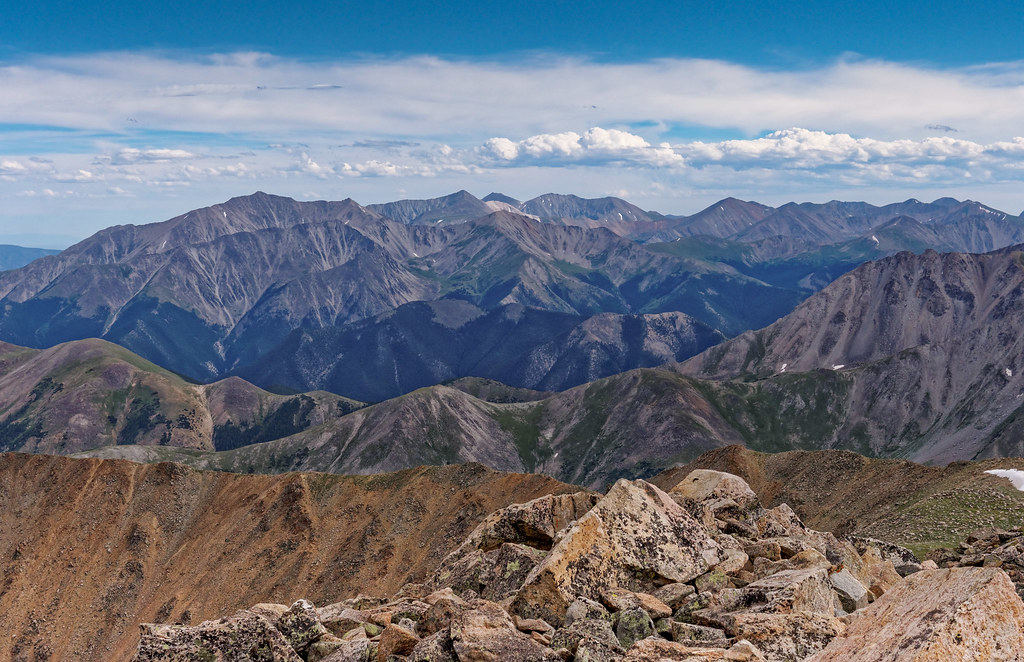
We looked forward to the descent as we would be on an actual trail and when I had glanced at the photos it looked good. Initially it was great.
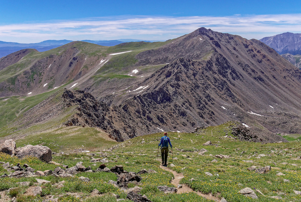
However, I had not read the trail description where Bill Middlebrook describes a section with 700 feet of descent as “steep, loose and not so fun.” An understatement. The trail became steep with tight switchbacks of packed dirt covered in ball bearing rocks. It eventually disappeared into several small parallel gullies with deeper loose rock causing both of us to fall on our butts multiple times. Once, after a particularly painful fall, I had a great deal of trouble standing back up again in the loose rock. I was very tired and nearly in tears (John wisely kept his camera put away).
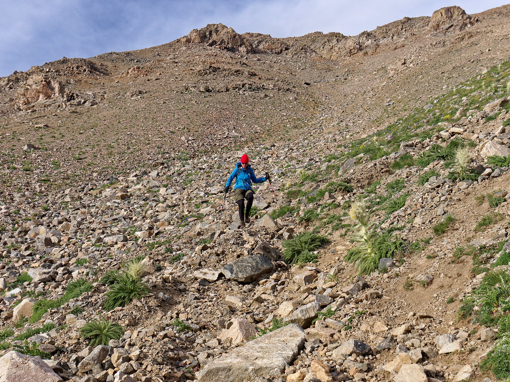
We finally reached the woods and an actual trail. We arrived back at our camp at about 7:30 p.m.. The seven-mile loop had taken us 13 hours to complete, and it was the longest, hardest seven miles we had ever done. Once fed and in our tent, we thoroughly enjoyed being warm and horizontal.
I thought back about the day looking for something positive to say about it. Fortunately, we had pretty good weather. The wind had not been too bad and thankfully the gusts blew us into the steep slope rather than off it. I’m afraid that was the best I could do and Mount Columbia became our least favorite 14er.
The next day we slept in and enjoyed a leisurely morning in camp. As I had my breakfast, I did enjoy the view of the basin and Mount Harvard, but I intentionally sat on a log facing away from Mount Columbia. I was still annoyed with that peak.
We had a welcome break of five days after our Harvard/Columbia adventure. The next peak we planned to do, Quandary Peak (14,272 feet) in the Tenmile Range, is considered to be one of the easiest. The trail gains 3,450 feet and is 6.75 miles round trip. There was a less-than-optimal weather forecast, cloudy with a 50% chance of rain mainly after 4 p.m.. However, as we were staying not far from the trailhead we decided we were willing to take a chance and accepted the possibility we might decide to turn back before reaching the summit.
Once again, we got up at 4 a.m.. John checked the updated forecast and was disappointed to see that it had deteriorated with some rain expected after 9 a.m. and more in the early afternoon. Since we were already up, we decided to give it a try, especially after seeing stars between just a few clouds in the still dark sky. Fortunately, the morning proved to be mostly sunny with few clouds. However, it was very windy at the summit (which we reached at 9:25 a.m., a new record for us).
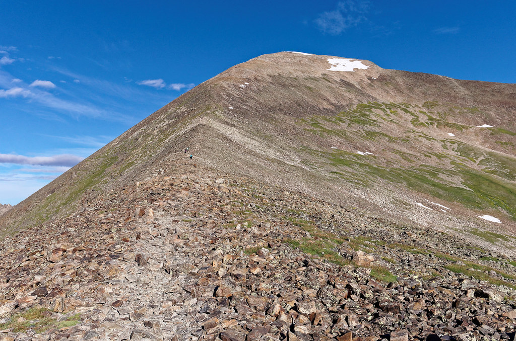
While on the summit we could see the clouds forming in the distance. They didn’t look too threatening, but we decided to head down after only a short break on the summit.
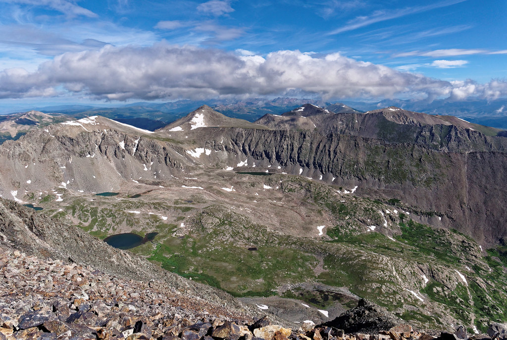
Thankfully the wind died down as we began our descent. Even with the forecast and clouds moving in, we passed many people who were still heading up as we hurried down. I think it depends on one’s experiences. Those of us who have been chased off a summit by thunder are more cautious. For the most part, we have found the weather forecasts to be reasonably accurate. If anything, they are a bit conservative. But it is understandable because so many people hike up these high peaks and rely on weather forecasts to guide their decision about whether to go or not. The accuracy of weather forecasts becomes more of a life-or-death matter in this state.
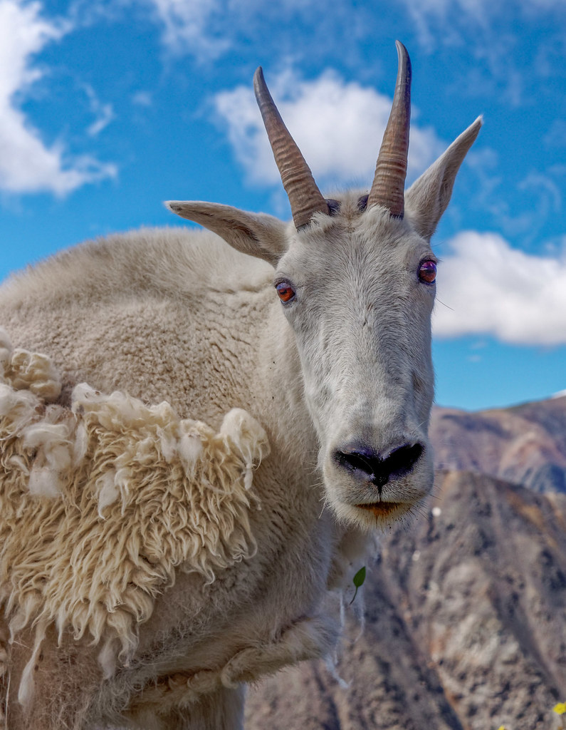
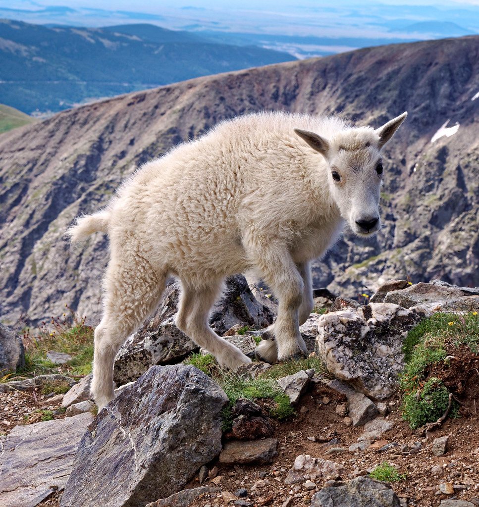
A highlight of this hike was encountering a Mountain Goat…
… and her kid
We then headed toward the Mosquito Range where we planned to do a hike up not one, not two, not three but four peaks in one day. It is easier than it sounds as they are close together and the descent/ascent between them is not too great. Doing these four peaks in one day amounts to a total elevation gain of 3,700 feet over just 7.25 miles when done as a loop. Once again, the most favorable weather forecast was on a Saturday so we knew this popular trail would be very crowded.
We got our usual early start and headed up toward Mount Democrat (14,154 feet) …
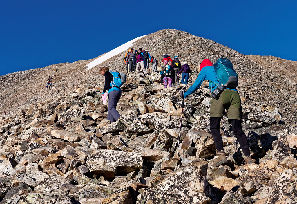
… where we encountered quite a crowd on the summit.
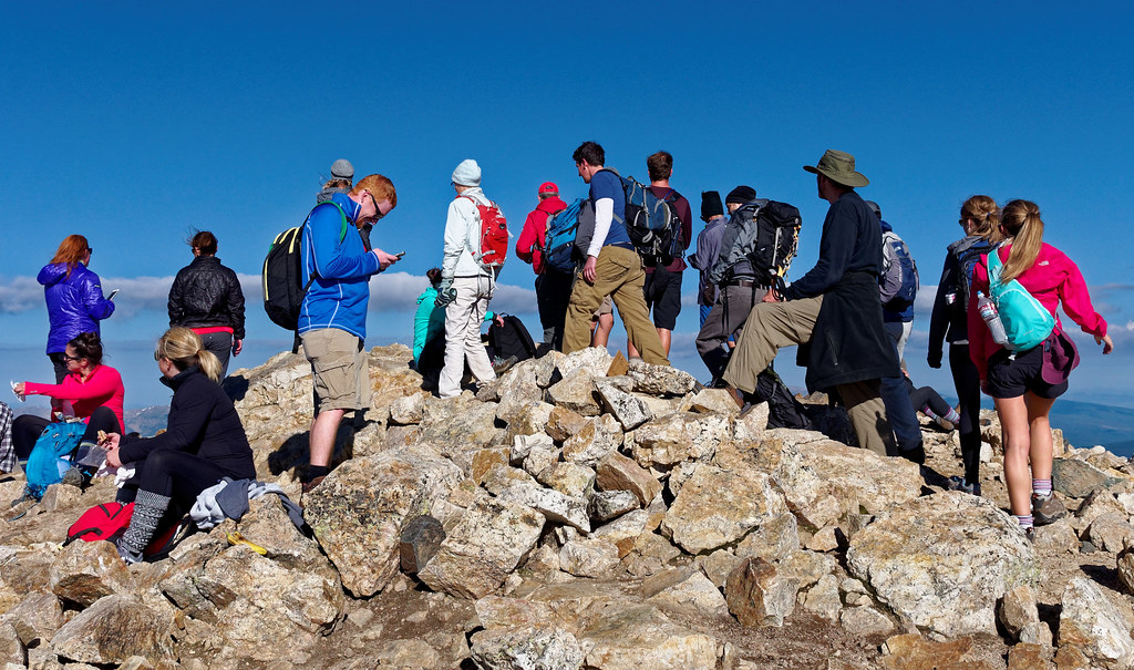
We then headed over to Mount Cameron (14,248 feet) …
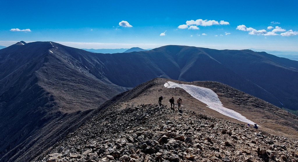
… an unassuming peak.
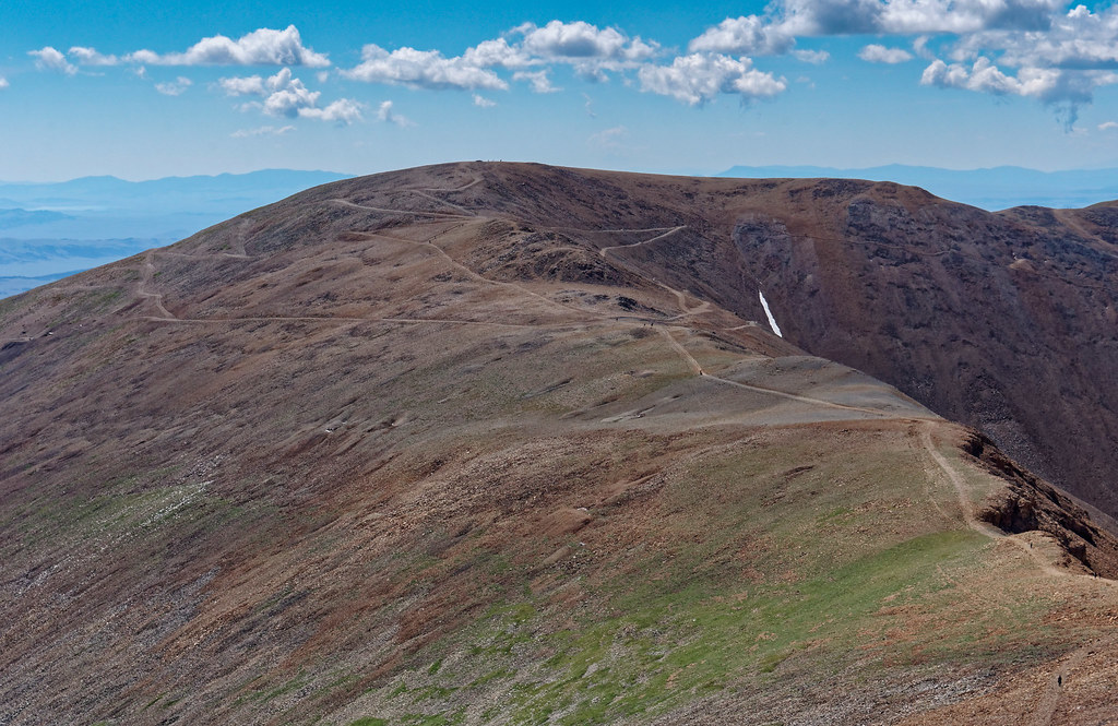
The third peak of the day was Mount Lincoln (14,293 feet).
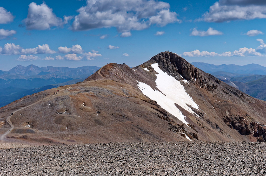
Of the four peaks, Mount Lincoln was our favorite, but the competition was not stiff. The peaks in the Mosquito Range are more weathered and rounded. It wasn’t something I expected from the Rocky Mountains in Colorado. But then again, they are most definitely rocky, so the name is descriptive even if some of the peaks are not particularly attractive. I suppose I am used to the younger and more jagged and glaciated peaks in Washington State and am quite biased.
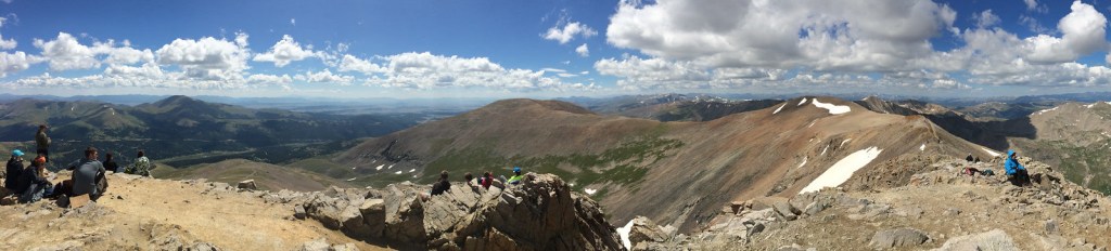
After Mount Lincoln we headed back toward Mount Cameron and over to the rounded rock pile known as Mount Bross (14,178 feet) seen in the middle of the above photo.
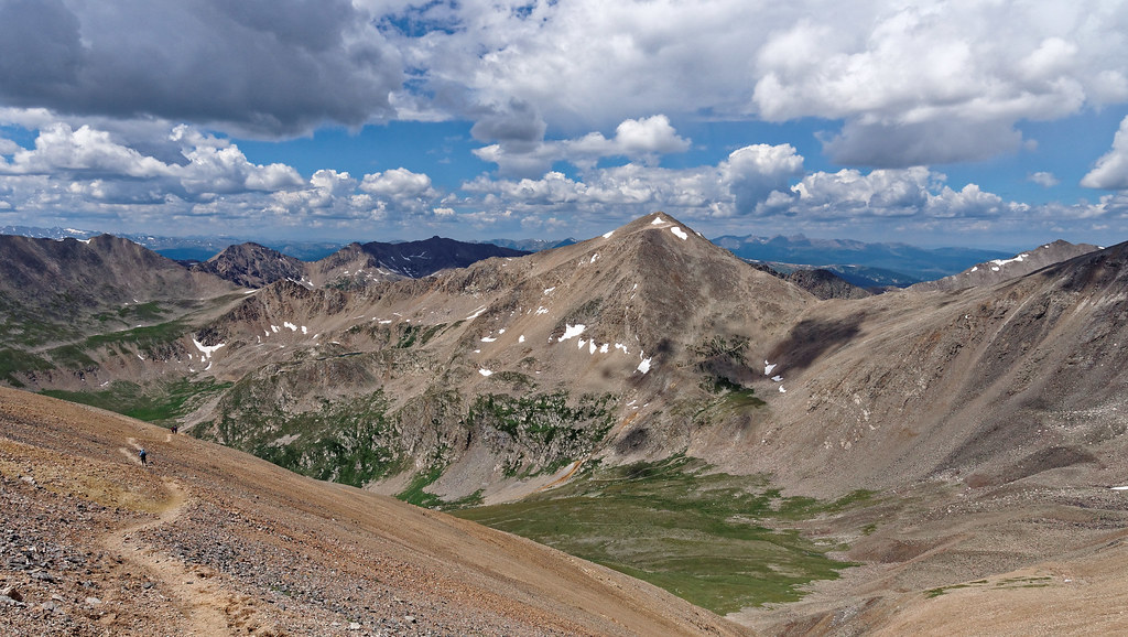
We were happy to have done these four peaks primarily because it got our count up. We had just completed a total of 21 peaks over 14,000 feet in seven weeks. Adding in the four we had done in previous years (described below), we have done a grand total of 25.
All photos from these hikes: Sawatch Range and Mosquito and Tenmile Ranges, are on Flickr
Back in July 2011, we were in Colorado when we began our 14er adventure. That year we did three. John was 58 and I was 57. The first two we did are adjacent to each other, so it is common to summit both peaks on the same day. Thunderstorms weren’t expected until late afternoon, so we believed we had time. We first headed up Redcloud Peak (14,037 feet) in the San Juan Mountains. The day started out clear.
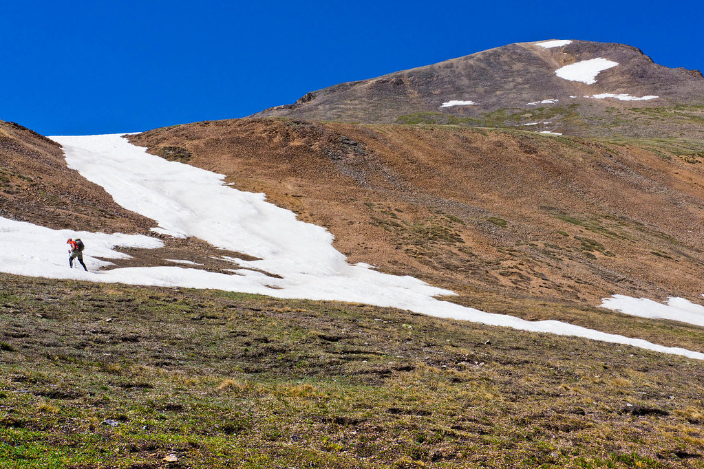
We quickly learned that trails up a 14er are often covered in talus and littered with loose rock.
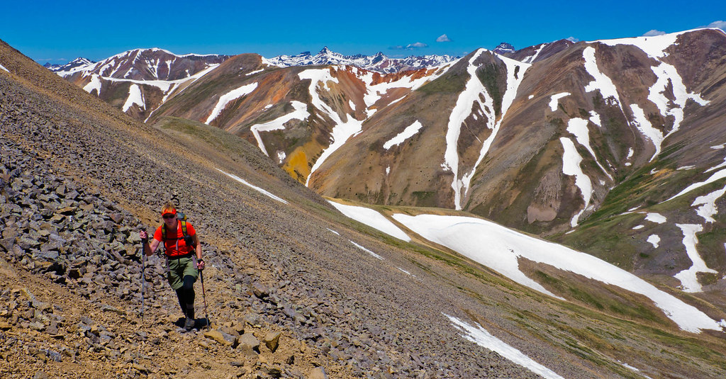
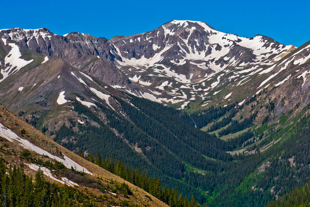
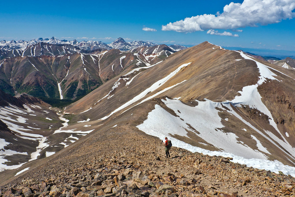
We had some great views of surrounding mountains on the way up.
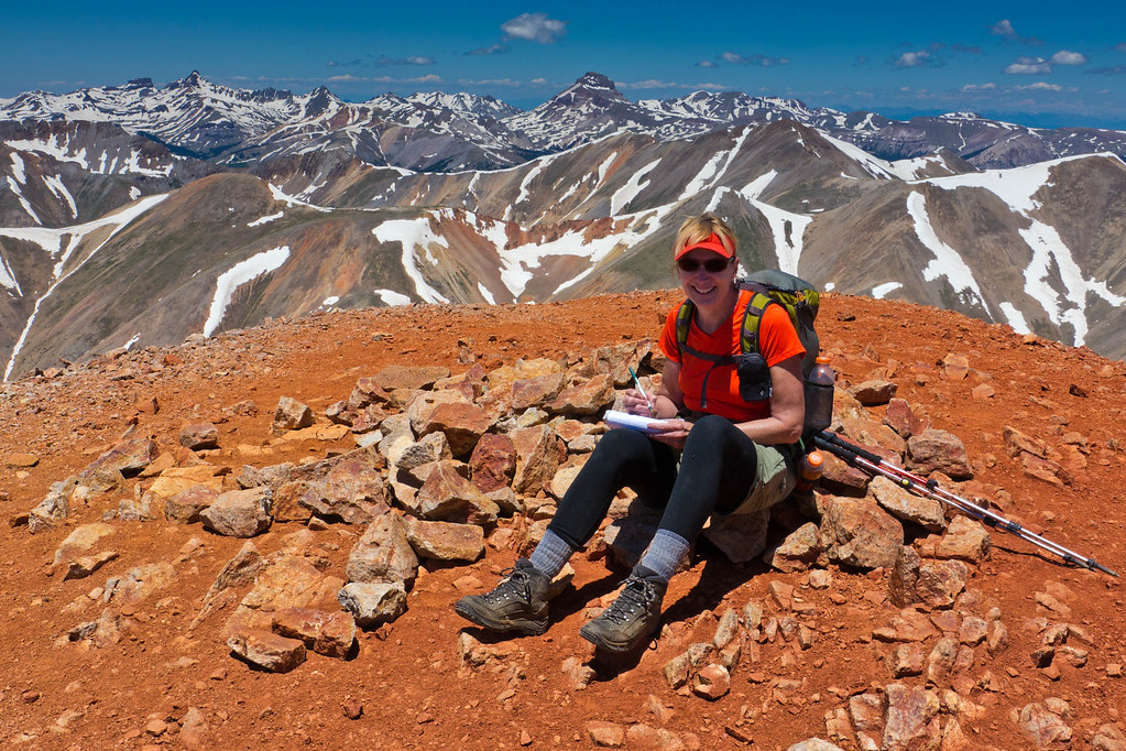
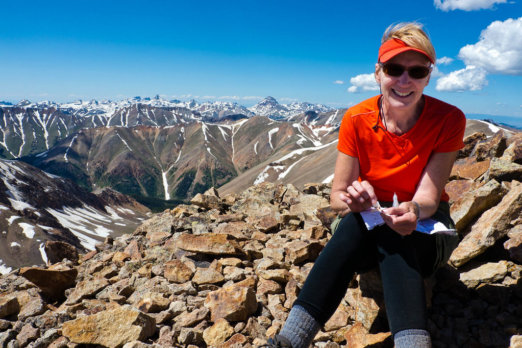
Once on top, I signed our first summit register.
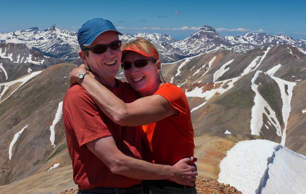
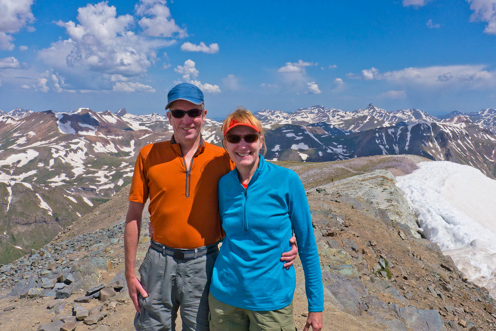
We weren’t the only ones on the summit, so we got a picture of the two of us.
We then headed over to Sunshine Peak (14,004 feet). Sunshine is only 1½ miles away with an elevation loss (and regain) of only 500 feet. However, regaining 500 feet at 14,000 feet of elevation required more effort than we had hoped. But we were not yet acclimated to the altitude. Once there, I signed another summit register.
We decided it was time to head back to Redcloud for the descent down.
In the early afternoon, puffy white clouds seemed to materialize out of thin air …

… and gradually became darker as the afternoon progressed. Fortunately, the thunderstorm held off until after we were down.
Two days later we hiked up Handies Peak (14,058 feet). The hike up was straightforward and the weather was great! At least for the hike up.
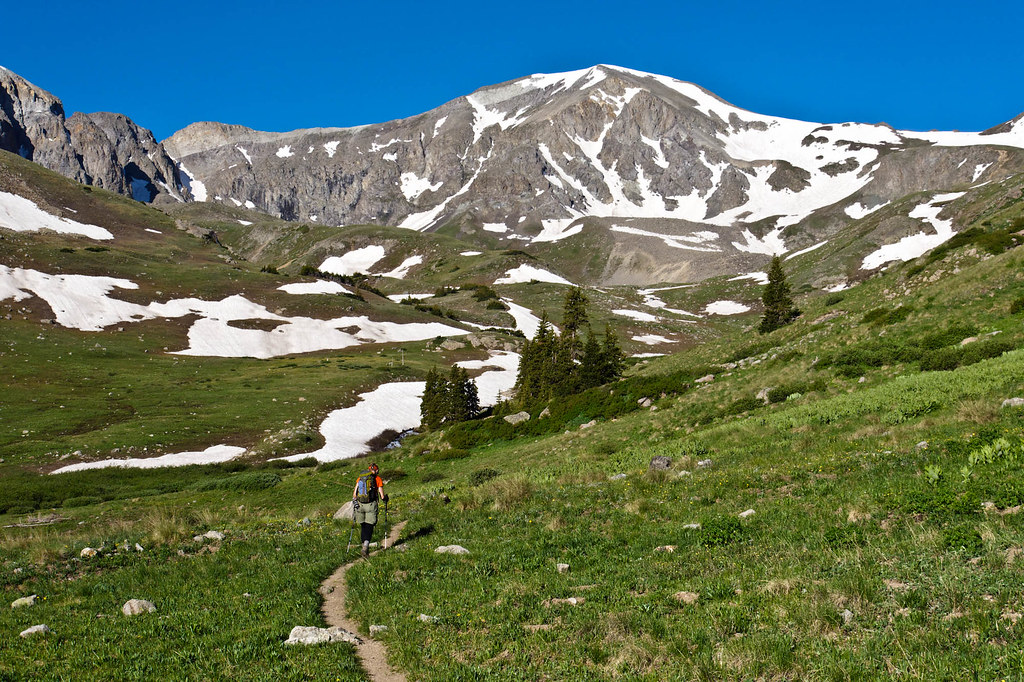
We got to the summit well before noon.
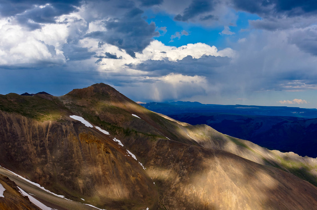
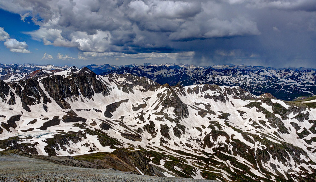
We were fascinated by how quickly the sky could change from clear blue skies to this. Fortunately, we were able to hike safely out.
All photos taken on these hikes are on Flickr.
We were in Colorado again in October 2012 and we hiked up Mount Sneffels (14,155 feet) in the San Juan Mountains. John was 59 and I was 58. We were able to drive reasonably close, so we only had to gain about 3,000 feet.
The trail starts out easy, but this kind of gradual ascent serves as a warning that the bulk of the elevation gain will come over a short distance. It was cold and windy, so we did the hike up with our parkas on and occasionally we even had to put our hoods up.
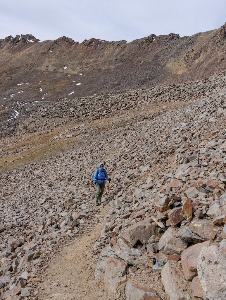
Unfortunately, right when it gets to the steep part, the trail becomes a route and we had to pick our way up the loose scree. Occasionally, we would spot what appeared to be a track and we’d work our way over to it only to have it peter a short time later. I’m not a fan of hiking up steep, loose rocks especially since I can’t help thinking about how much I’ll hate coming back down it.
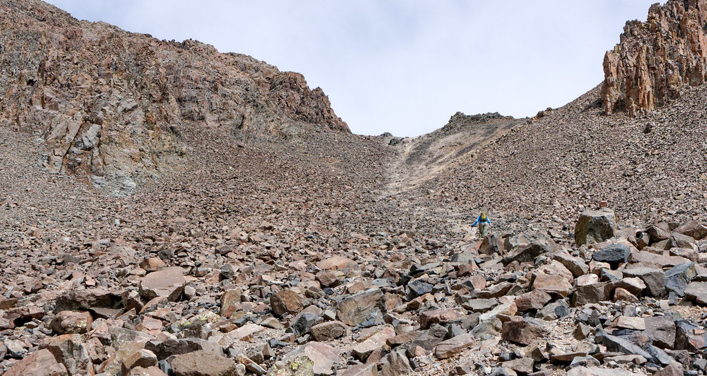
Once we reached the pass, the route the rest of the way up was unclear. We could see that the main gully branched into two separate ones and we were uncertain which to take. However, we encountered a couple coming down who told us to take the gully on the left. So, we did.
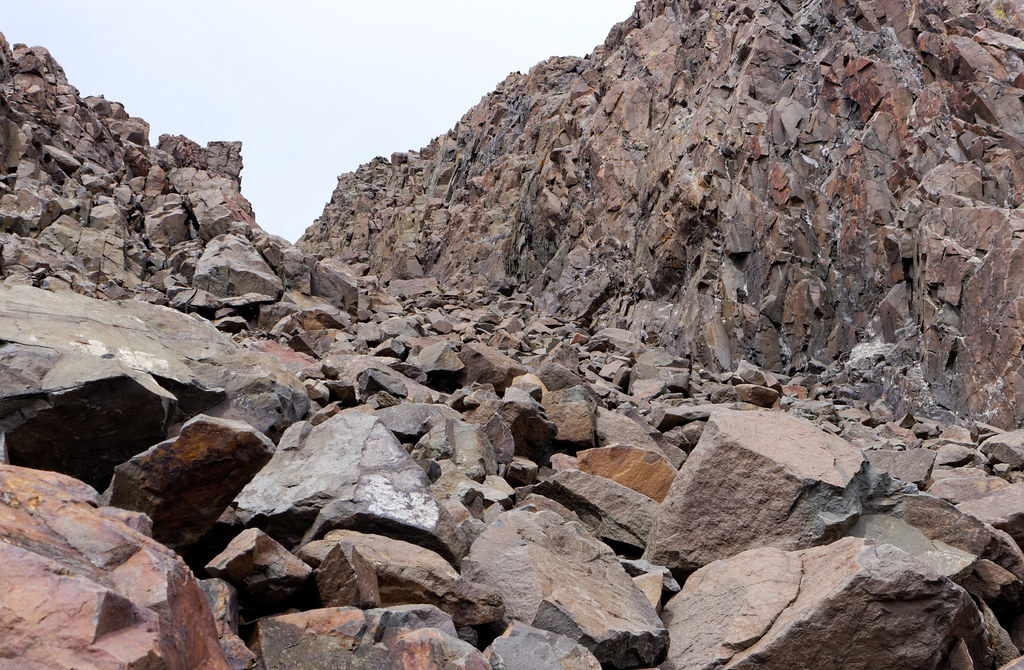
However, we later learned that this was bad advice. The grade got steeper and the rocks got looser the farther up we went.
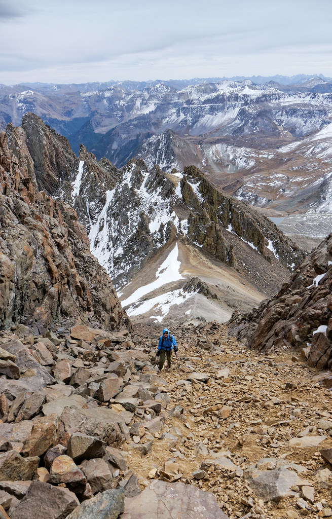
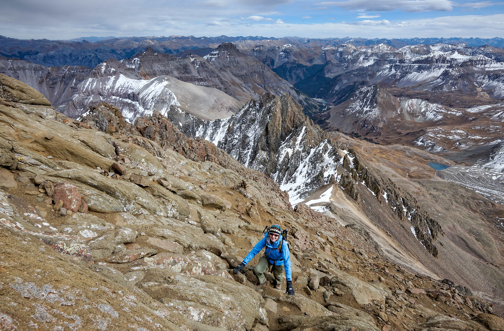
But we persevered and eventually made it to the rock just below the summit. It was a nice change of pace to be on rock that didn’t insist on sliding under your feet as well as having something solid to grab onto. I have often thought that crawling is an underrated mode of transportation for adults.
Of course, it was all worth it when we reached the summit and got the big payoff of a stunning 360-degree view, which included surrounding mountains …
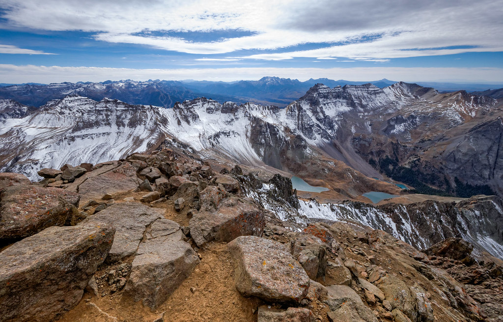
… as well as the expansive plain in the distance. The wind was even cooperative enough to die down a bit while we were up there.
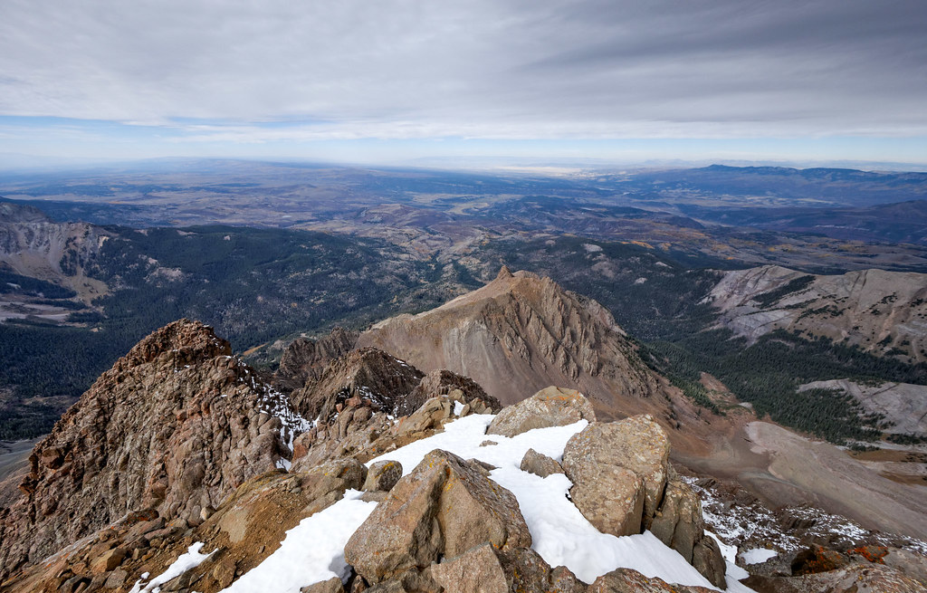
Then came the fun part, getting back down. Fortunately, we now knew that we should take the other gully down and that we needed to first find a feature known as the V notch and then go through it. Once through the notch, the route immediately drops to the left.
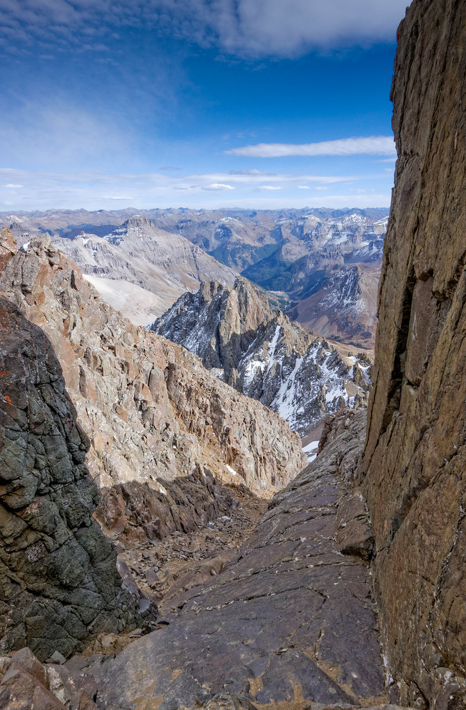
I can definitely say that this way down was better. The going was still a bit rough and very slow, which of course is better than going down a steep, rocky slope very fast. Route challenges aside, we have since decided that Mount Sneffels is our favorite 14er of those we have done thus far.
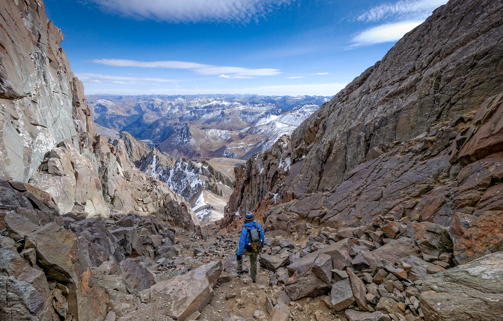
We have thought about returning to Colorado and doing more 14ers but it hasn’t worked out. At least, not yet!
All photos from this hike are on Flickr.


Leave a Reply