The South Rim | The North Rim | Western Canyon
I once read on the Grand Canyon National Park Service website that when visiting Grand Canyon for the first time hikers "… tend to react to the experience in one of two ways, either they can't wait to get back, or they swear they will never do it again". But neither describes me. I grew up in Kentucky and had never been west of the state. I have always loved the outdoors and started backpacking when I was 18. I had seen photos and postcards of Grand Canyon, but I didn’t allow myself to hope I would ever see it with my own eyes.
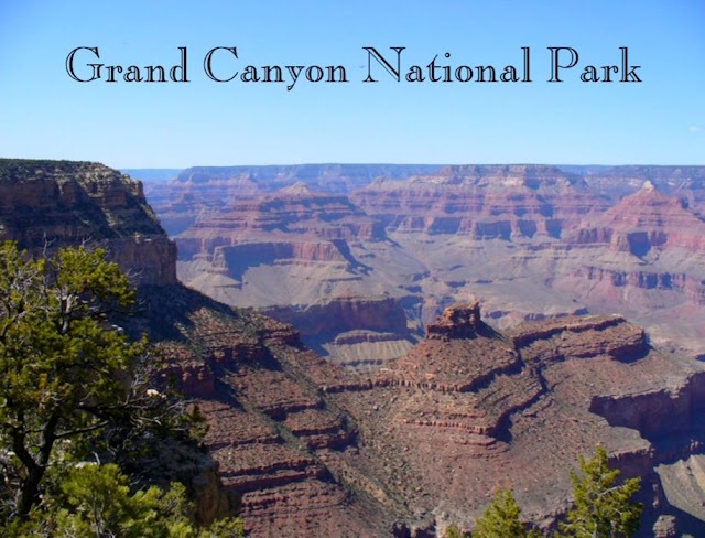
That changed when I met John. It was 1975 and he was working in Louisville, Kentucky. He is originally from Chicago but after graduating from college he had spent the summer traveling throughout the western US and loved it. He intended to relocate somewhere there in the not-too-distant future. Long story short, when he left Kentucky in 1977 to move to Seattle, I went with him.
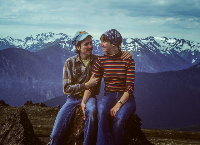
After arriving in Washington State, we were kept busy with jobs, school for me, a house and eventually children so we didn’t do much traveling beyond flying back east to see family. However, in 1989 we loaded up our new travel trailer and took a trip to the southwest US and one of the first places we visited was Grand Canyon National Park.
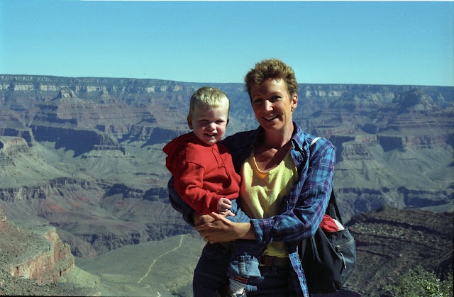
While there, John and a friend did a long day hike down the South Kaibab Trail to the river and up the Bright Angel Trail. However, I didn’t get the opportunity to hike below the rim. I had my hands full with our two young boys (aged four and not quite two) as well as my mother-in-law. While John was out hiking, Grandma, Dan, Tom and I rode the shuttle along the rim getting out at every viewpoint squashed within the intense crowds. I found it very stressful.
The boys were cranky and bored because I wouldn't allow them to do what they normally did outside; run around, climb on things, and play with sticks and rocks. I was afraid I would lose them in the crowd. Or worse, over the edge. I had wanted to walk between some of the viewpoints so the boys could run around, but Grandma didn't want to and I felt obligated to stay with her. As a result, I just didn’t feel like I was actually there. I got to look over the edge, but it was like I was still just looking at postcards and photographs in books.
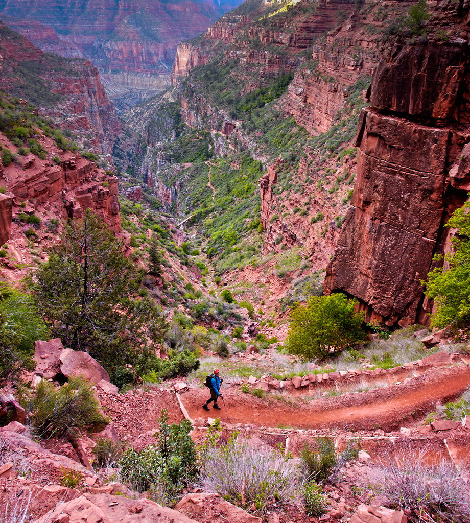
Then in 2009 John and I took our new motorhome on its maiden voyage. Our primary objective was a backpack trip down Buckskin Gulch and the Paria River (which was great!). We did another in Zion National Park. However, as John was still working, our remaining time was very limited, so we made only a brief stop at Grand Canyon’s North Rim. We hiked a short way down the North Kaibab Trail, only as far as Roaring Springs. I was excited to be going below the rim for the first time, but I must admit I was disappointed. On that stretch of the North Kaibab, we didn’t get the expansive views of the main canyon I had hoped for. The trail goes down through Roaring Springs Canyon, a more intimate side canyon. Don’t get me wrong, it is a beautiful hike, but I still didn’t feel like I was getting to know the real Grand Canyon.
In April 2010, after John retired and we sold our house, we hit the road in our motorhome. Our primary destination for that first travel season was going up through British Columbia, Yukon and Alaska. However, in early 2011 we headed to the southwest US planning to spend some time in Grand Canyon. Our son Dan would be visiting us, and John planned a backpack trip to do with him. As we prefer more solitude, he had no trouble deciding to avoid the extremely popular (and crowded) corridor trails: Bright Angel, South Kaibab and North Kaibab. He researched the lesser traveled trails, made a plan and obtained a permit. We would descend into the canyon on the Tanner Trail, follow the Colorado River downstream along the Escalante Route and hike out of the canyon on the Tonto and Grandview Trails.
While I was really excited about seeing our son and I love backpacking, I realized I was not looking forward to this backpack trip. Here's why. The National Park Service provides trail descriptions, and I read the ones for our planned trip. John soon dubbed these write-ups Worry Papers because they made me worry. In my defense, the Tanner Trail Description says things like “The trail is unmaintained and ranks as one of the most difficult and demanding south side trails …The trail is narrow, badly eroded and can be difficult to follow … The Redwall descent is nasty … a serious fall is a real possibility…” and “…missteps should be avoided at all costs…”.
It is recommended for experienced canyon backpackers only. While we were experienced backpackers, we frequented forests and mountains where water is abundant, temperatures are cooler and potential issues include stream crossings, hypothermia and encounters with bears, situations we knew how to cope with. I had no idea what to expect from the canyon.
It didn’t help matters to get a form letter from the Park Service that stated that trips such as the one we had planned too often "result in injury and occasionally even death" (AKA the “You’re gonna die” letter). So, yeah, I was a bit apprehensive. But I have learned I can trust John’s judgment, so I was willing to give it a go. We started down the steep, loose Tanner Trail at about noon and my arthritic knees complained.
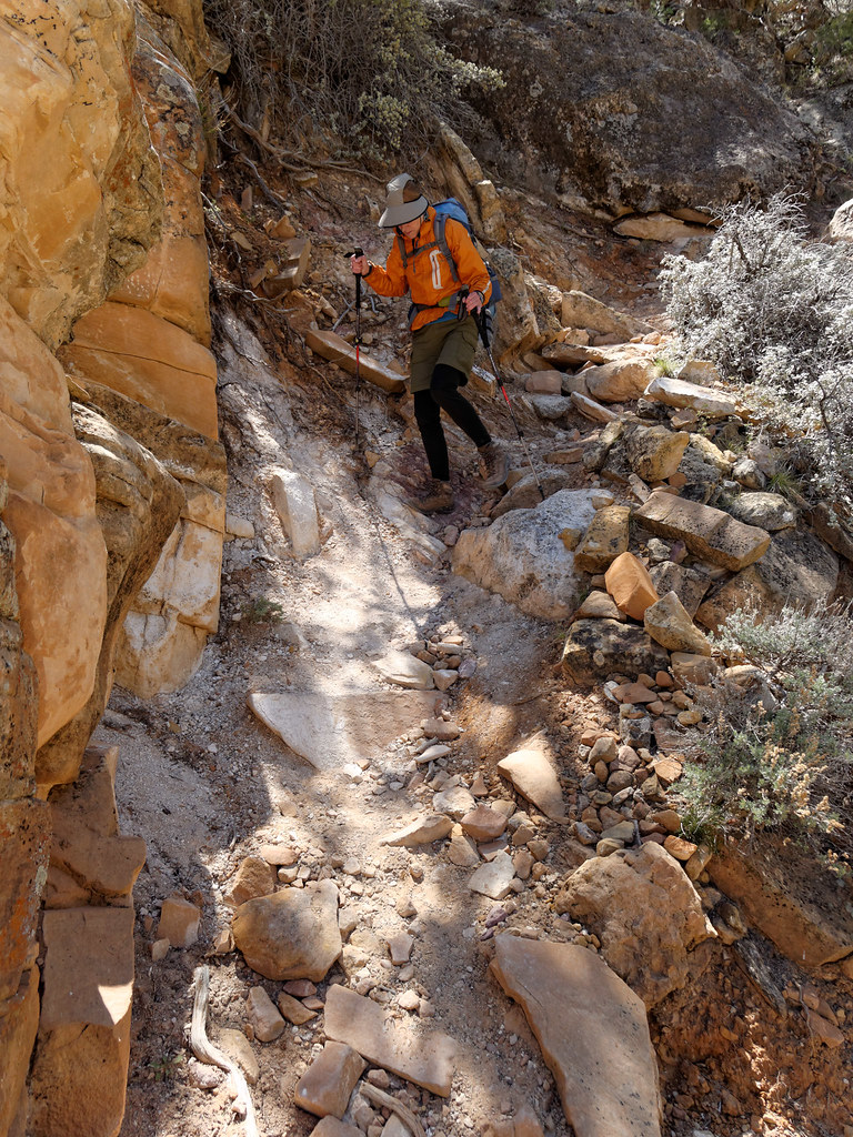
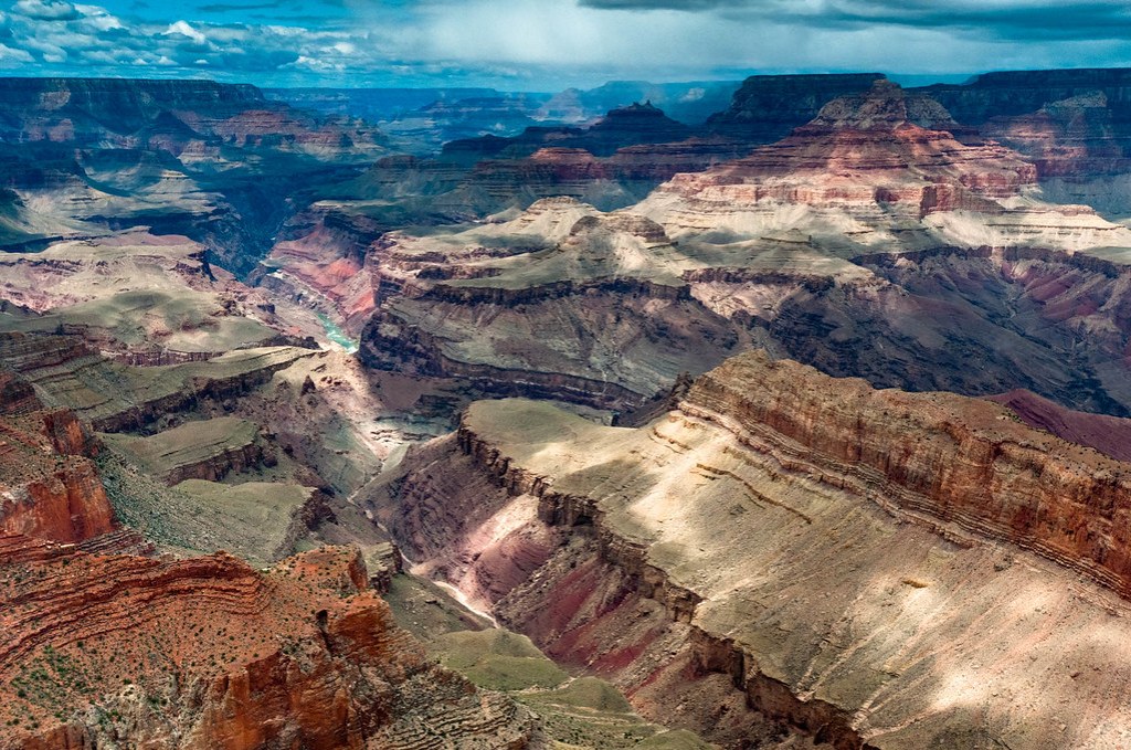
Then, as we descended further, I began to be distracted by the views we were getting, and I started to believe I could get to like this place.
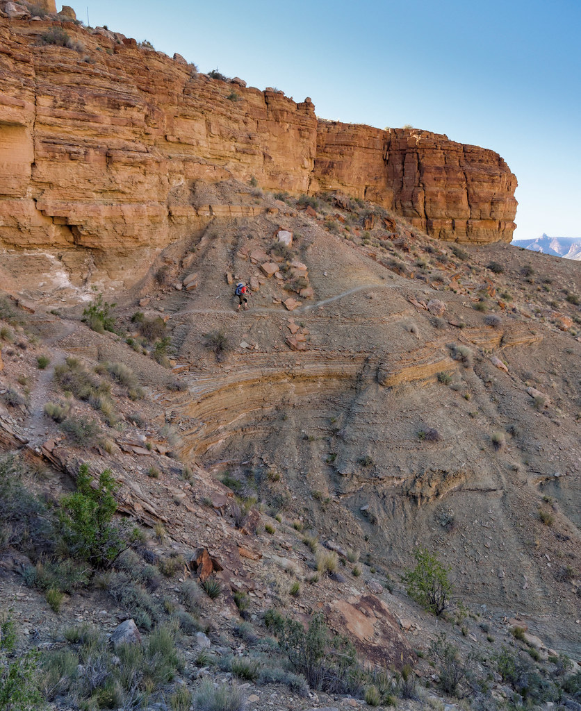
However, that attitude faltered some after we encountered parts of the trail that the Worry Paper referred to. It was after dark when we finally reached the river, so I was unable to appreciate our surroundings and without any distractions, I became focused on my sore knees again. That night, I questioned the value of the effort it took to get there.
However, waking up the next morning …
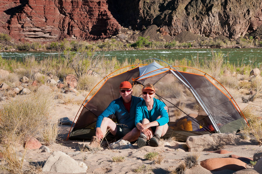
… and hiking within this magnificent canyon …
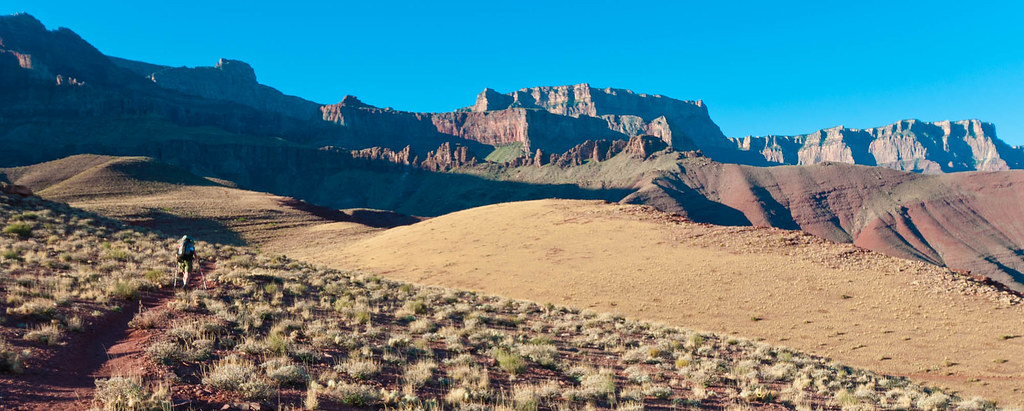
… I realized that everything I had done, everything I had endured, was worth it. I accepted it as the price that had to be paid for the privilege of being there. I was in love!
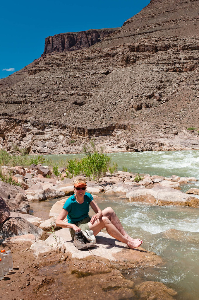
Since that first backpack trip, John and I have hiked all the official named trails and routes within the park (those indicated in the Park Service publication we used). I have read every Worry PFor those who have not had the opportunities we have had, I invite you to join me on a photo tour of some of the extraordinary beauty we have seen. These photographs come from our past trips; the tour follows the trails as we experienced them, rather than describing current trail conditions. All of John’s photos taken in Grand Canyon are on Flickr.
The South Rim
To begin with, imagine you are looking at a map of Grand Canyon. We’ll begin on the South Rim. Starting from the east the first trail indicated is the Cape Solitude Trail. The road to access this trail is located near Desert View and the east entrance of the park. This is a little used trail that lives up to its name. It offers views that are unique in the park where one is neither looking down on something nor up at something. Rather, one is looking out, seemingly forever, for much of the hike.
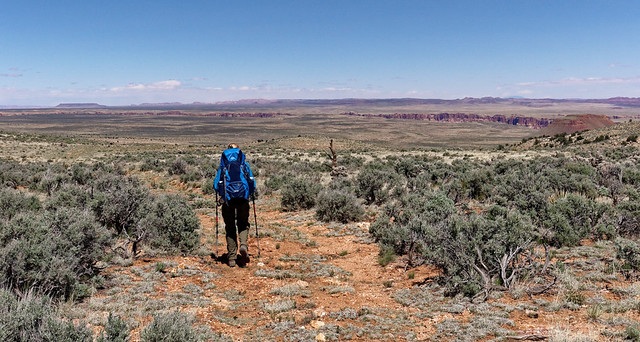
The trail seems like it will continue this way forever until you reach the end at the very edge of Grand Canyon and look down. The first thing you see is the Colorado River.
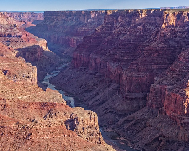
But by continuing further you see the highlight of the trip, the confluence of the Colorado and Little Colorado Rivers.
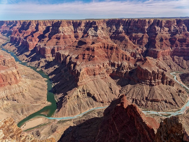
The Little Colorado is typically a lovely light turquoise. I have read it is due to high concentrations of calcium carbonate in the water.
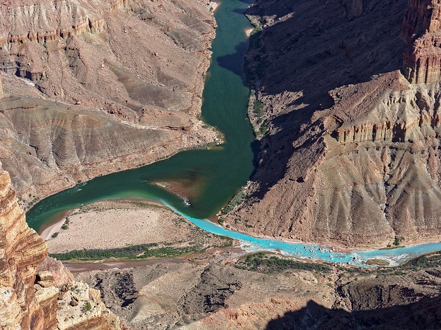
One can hike to the confluence on the Beamer Trail. This trail follows the Colorado River upstream, initially flat becoming higher where it skirts the cliffs and negotiates countless side canyons. The trail eventually drops down taking you back toward the river and on to …
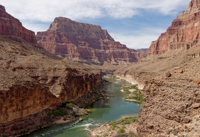
… the confluence.
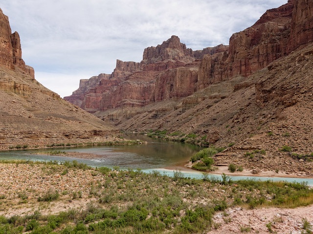
After rain the Little Colorado can become a muddy red, but when it is running clear the color is surreal and must be seen to be believed.
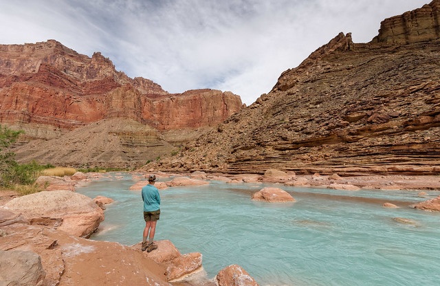
To access the Beamer Trail, one must first descend into the canyon. This is commonly done from the Tanner Trail. From the trailhead on the South Rim, great views start early and continue the deeper you get into the canyon.
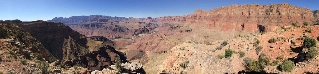
Views from the Tanner are outstanding …
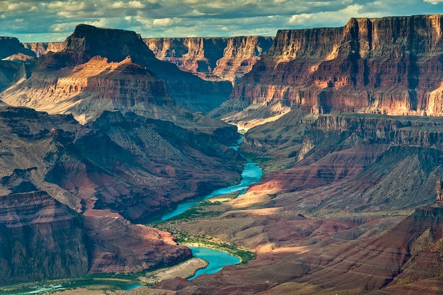
… especially later in the day when the angle of the sun is lower.
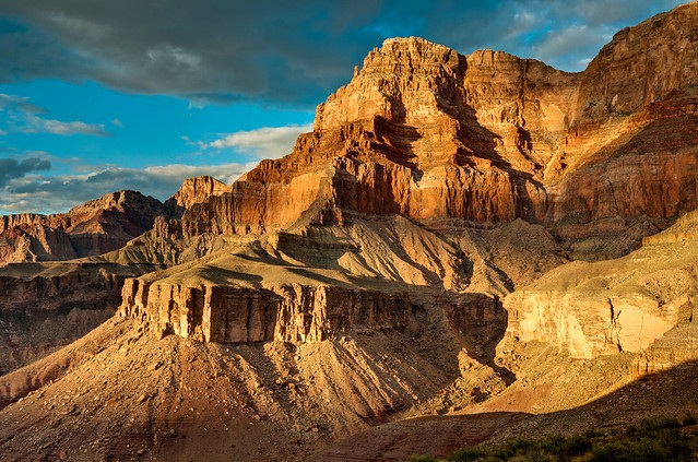
The Tanner ends at the river. In addition to accessing the Beamer Trail you can also travel downstream on the Escalante Route. The Escalante crosses large areas of open country…
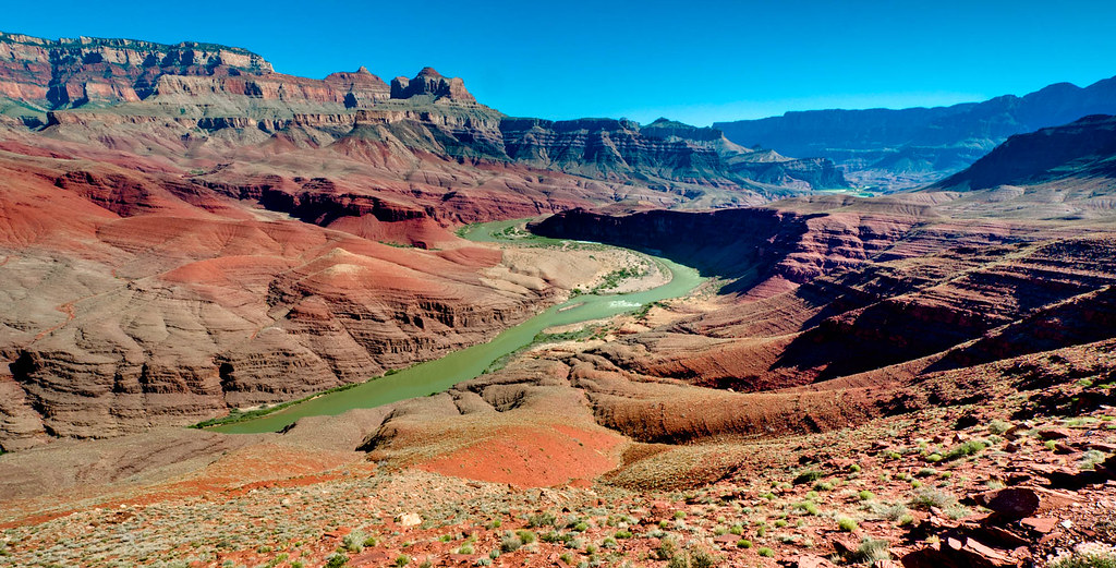
… providing great views all along the way.
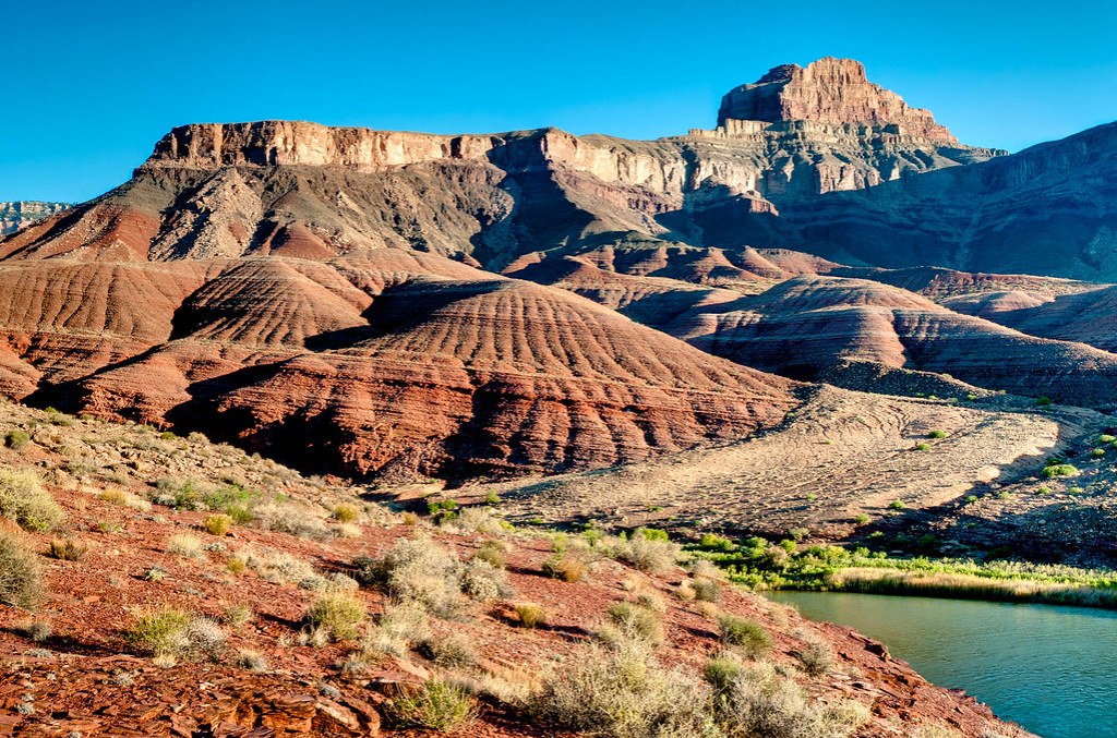
Views from the Escalante never disappoint.
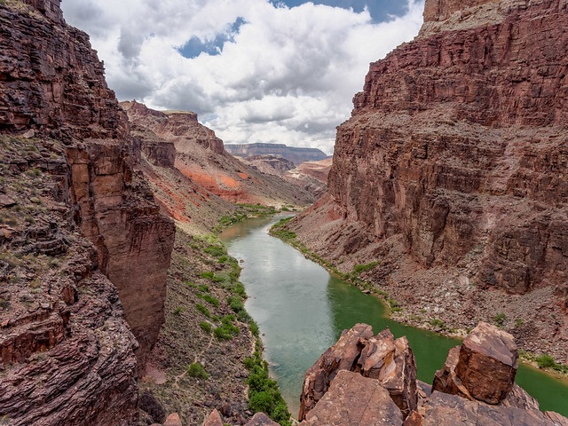
The Escalante Route ends at Red Canyon and intersects with two trails. The first is the New Hance Trail. If you begin your hike at the New Hance Trailhead (on the South Rim) you initially hike through some woods but once you reach the rim you will be rewarded with immediate views.
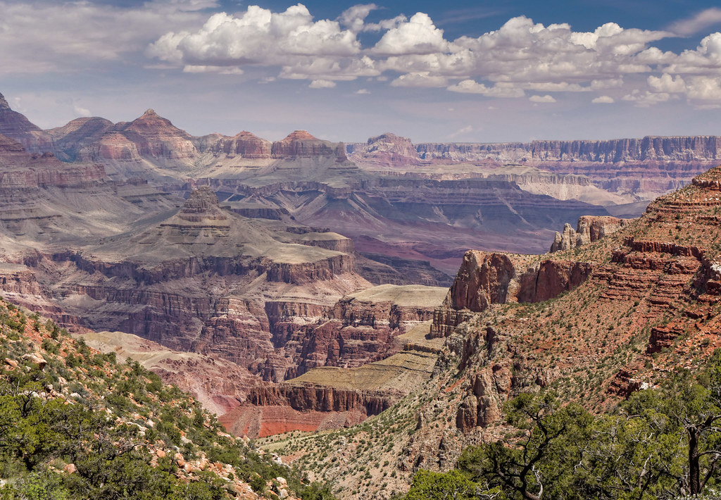
But let’s say you used the New Hance Trail to complete a loop. In that case you will first hike up a creek bed …
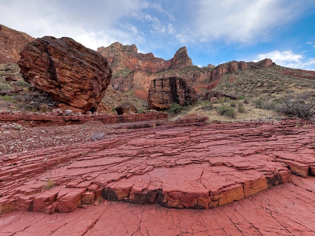
… before the trail then begins its climb out of the canyon and up to the rim. The higher you get the more expansive the views. When ascending any trail in the canyon it is important to pause periodically and look back and marvel at the distance you have come.
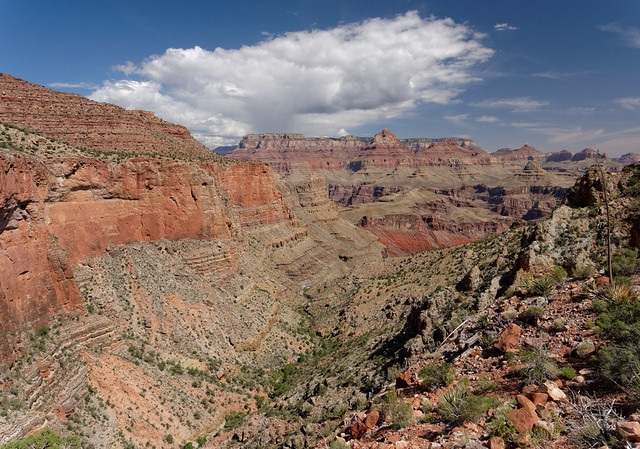
Back in the canyon – From the Escalante there is also the option to continue down river on the Tonto Trail. The Tonto is a trans-canyon trail that runs the length of the Tonto Platform, a shelf situated roughly halfway between the South Rim and the Colorado River. It is approximately 95 miles long and intersects several trails along the way.
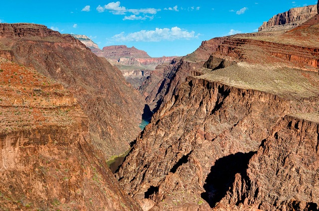
Continuing west, the Tonto first intersects the Grandview Trail which will ultimately take you back to the South Rim. From the rim, this scenic trail enables day hikers and backpackers to access a notable feature in the park, Horseshoe Mesa, named for its unique shape.
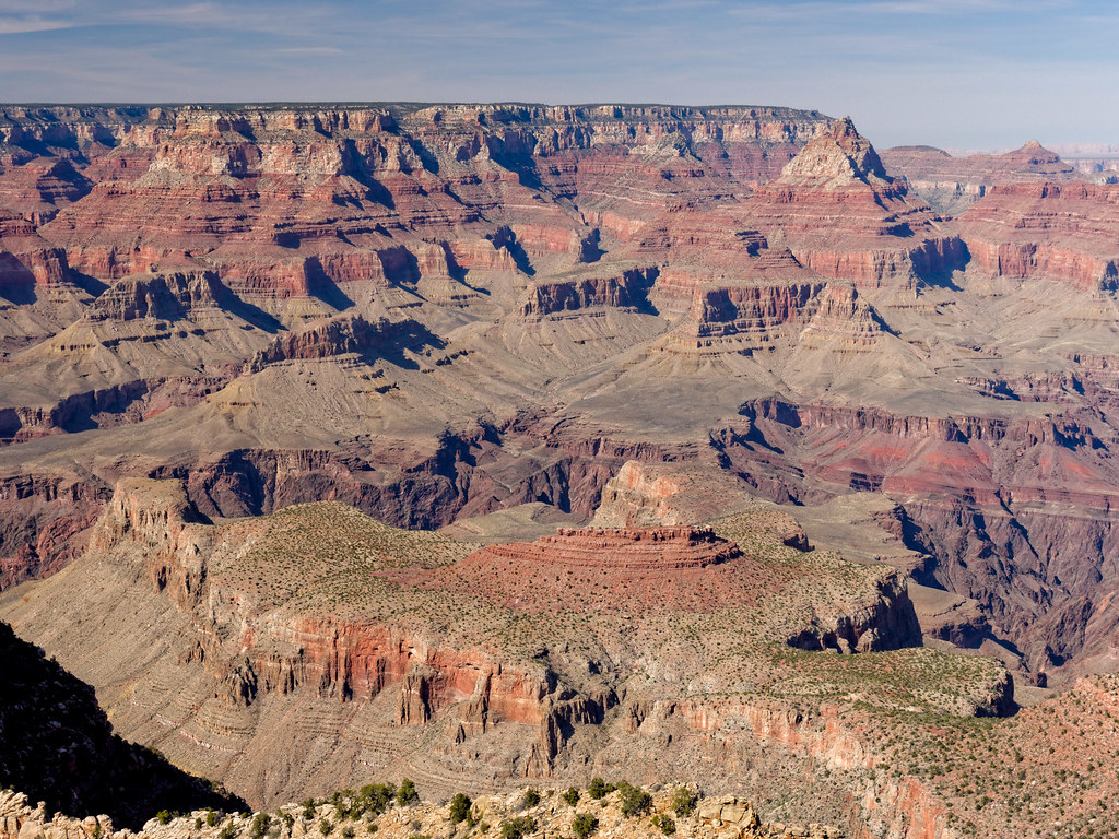
Most people begin their hike on the Grandview from the trailhead on the South Rim and views of the canyon from this trail don't disappoint. It truly lives up to its name.
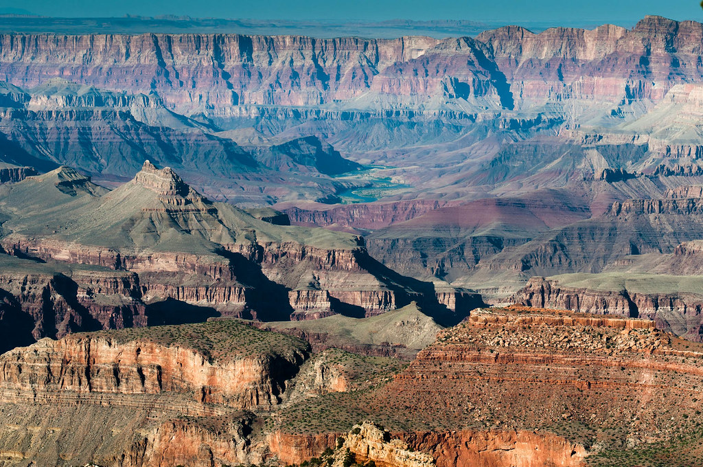
Once down to Horseshoe Mesa it is worth the time and effort to hike out to the end of one (or both) of the arms.
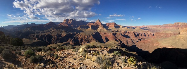
If you continue to hike to the west on the Tonto you will go around the base of Horseshoe Mesa
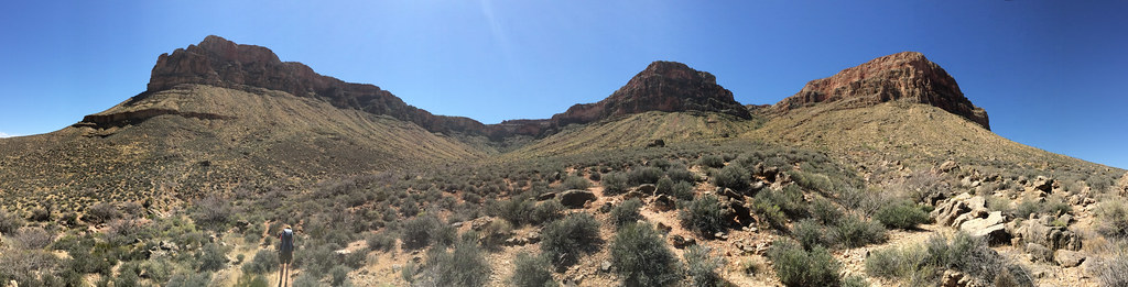
Once all the way around you will encounter Cottonwood Creek, a popular area to camp. Cottonwood Creek flows down a lovely side canyon which is well worth exploring.
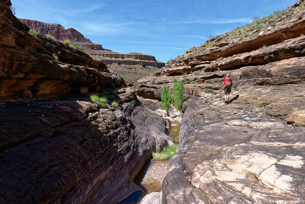
From Cottonwood Creek one can continue to travel west on the Tonto Trail or return to Horseshoe Mesa via a short steep (and loose) trail. For this narrative we will continue west on the Tonto. I don't believe the Tonto receives its fair share of respect. Most park visitors only see the canyon from the rim and most day hikers, and many backpackers seem to be hyper focused on getting to the river. However, I think the Tonto offers the best of both worlds. It provides expansive views up to the South Rim, …
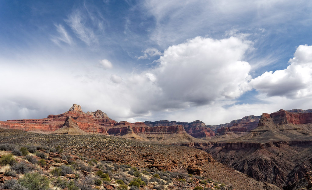
… and down to the river.
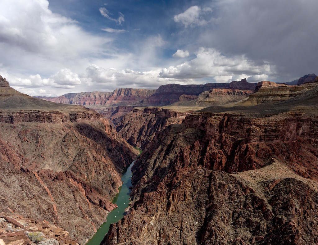
Perhaps best of all it provides solitude, something that is hard to find on many rim-to-river trails.
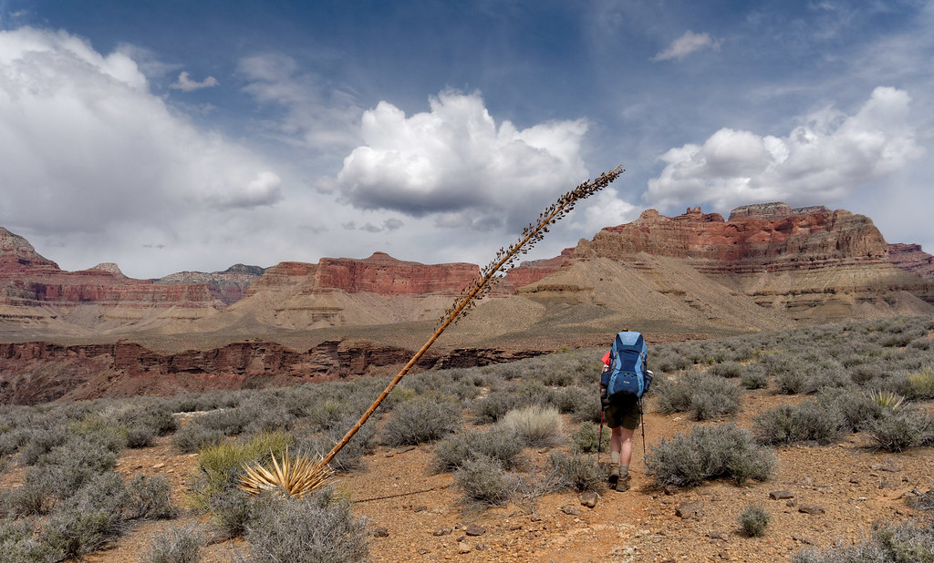
The next trail encountered is the South Kaibab Trail. As most people hike down the South Kaibab, let us shift to the trailhead up on the South Rim. The South Kaibab is one of the popular and heavily used corridor trails that goes from the rim to the river. As you descend you will be treated to some of the most expansive views of all the rim to river trails.
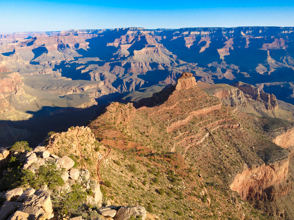
These views continue …
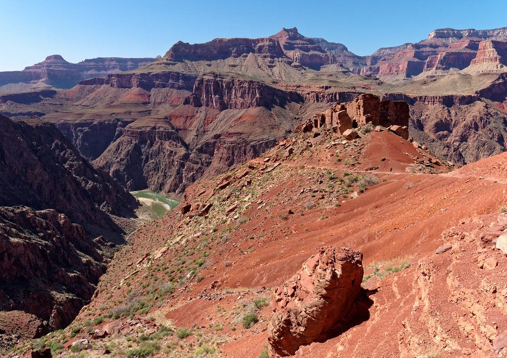
… all the way to the river.
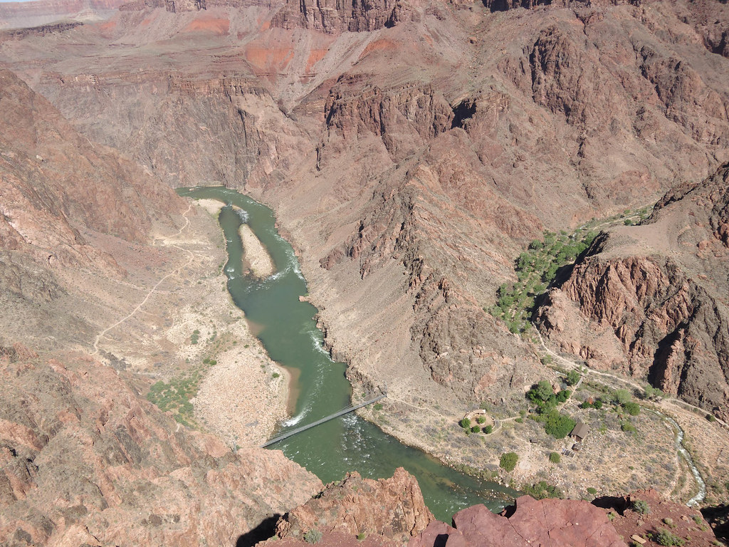
Once at the river you have two choices. One option is to cross the river via the black bridge and head to Phantom Ranch, Bright Angel Campground or the North Kaibab Trail.
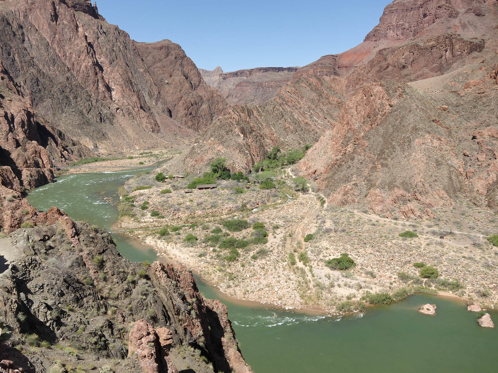
However, we will stay south of the river. From the South Kaibab you can take the short River Trail which will intersect the Bright Angel Trail.
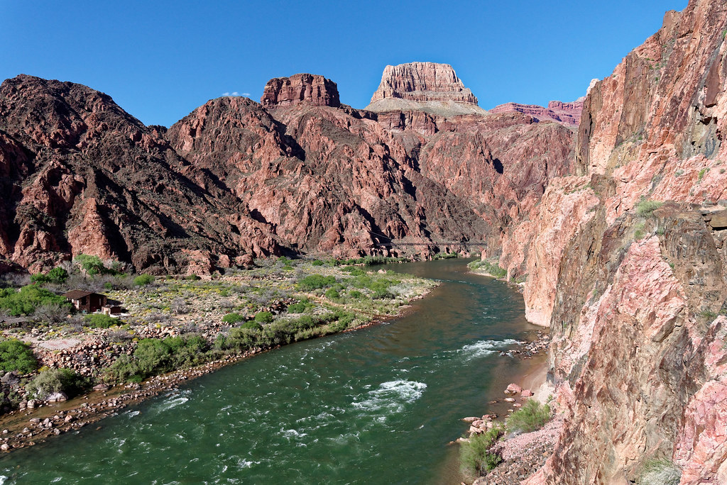
Back at the South Kaibab Trailhead on the rim – This is also the location of the beginning of another trail worth mentioning – the Rim Trail. This easy and very accessible trail, which runs along the rim, begins just west of the South Kaibab Trail and continues as far as Hermits Rest with viewpoints along the way.
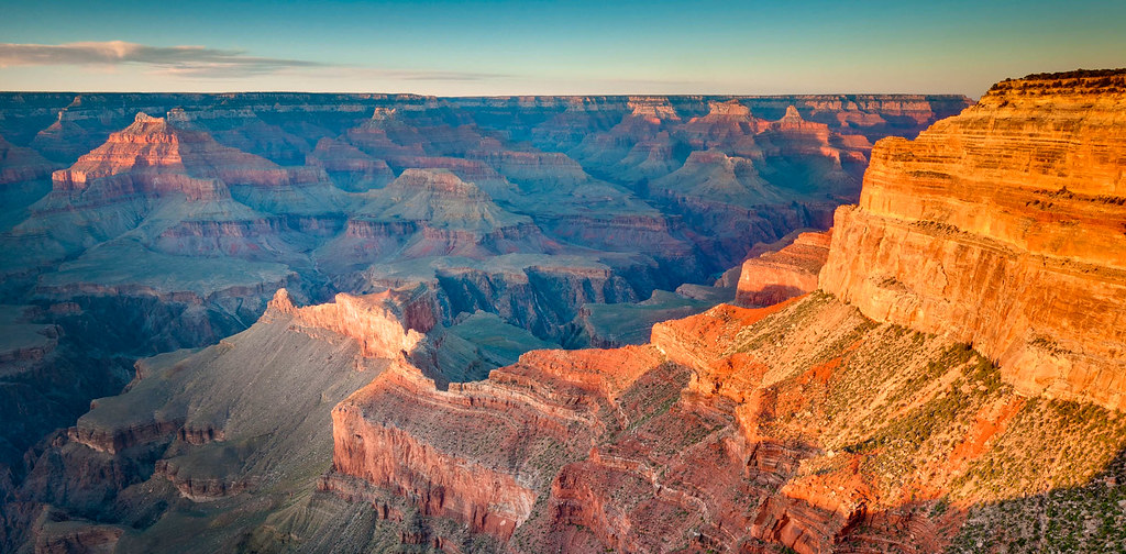
Now back in the canyon – Let's say from the junction of the Tonto Trail with the South Kaibab Trail you did not hike down to the river or up to the rim. By continuing west on the Tonto Trail from the junction with the South Kaibab Trail, you will once again experience blessed solitude …
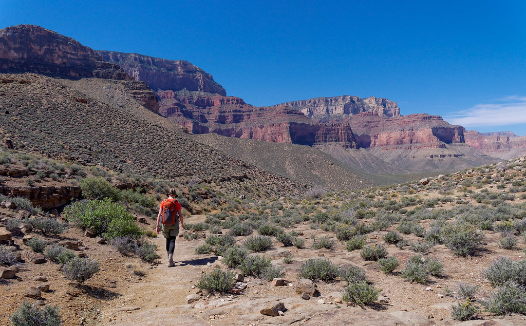
… and expansive views.
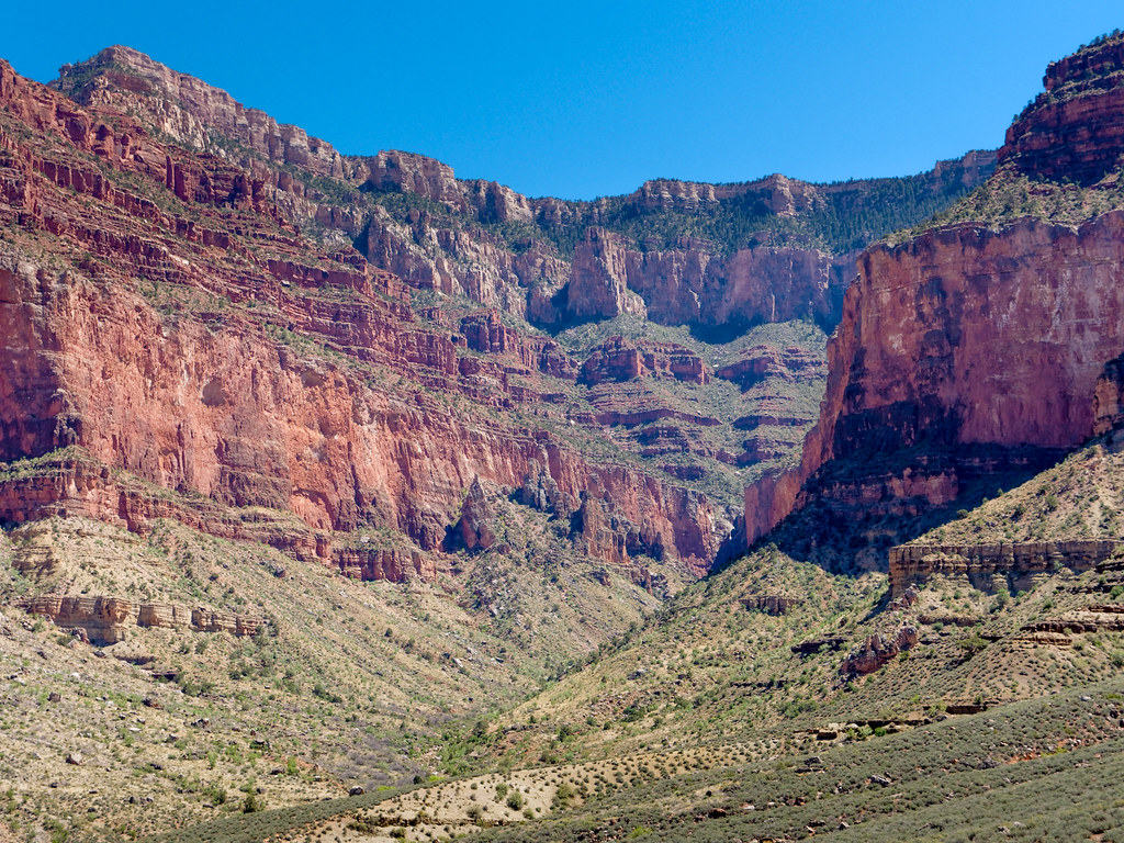
The Tonto Trail next intersects the Bright Angel Trail at Havasupai Gardens, a veritable oasis in the desert. When you start seeing the many trees you know you are getting close.
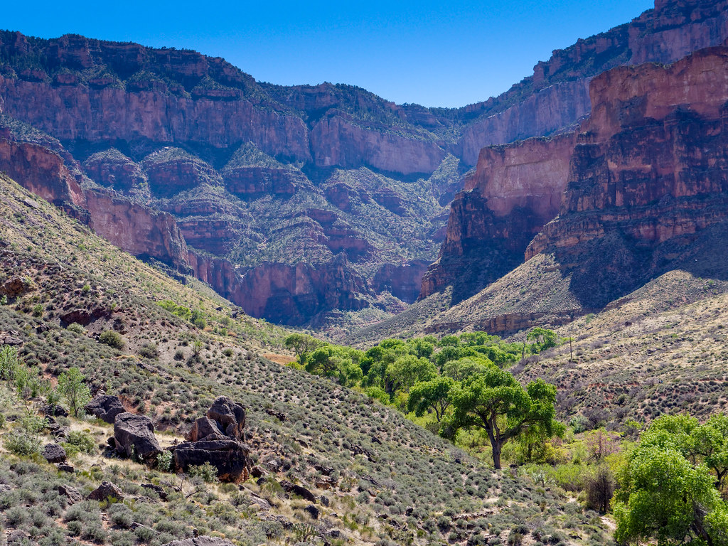
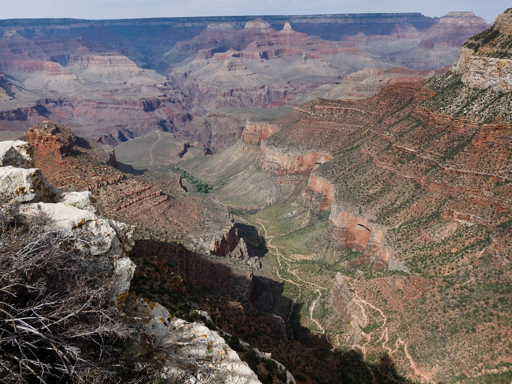
The Bright Angel Trail, another of the rim to river corridor trails, is undoubtedly the most popular and heavily used trail in the park. The rest houses, the availability of water and shade are definite assets on this well-maintained trail. If you begin your hike from the rim on the Bright Angel Trail, you are immediately rewarded with views down this side canyon past Plateau Point toward the North Rim.
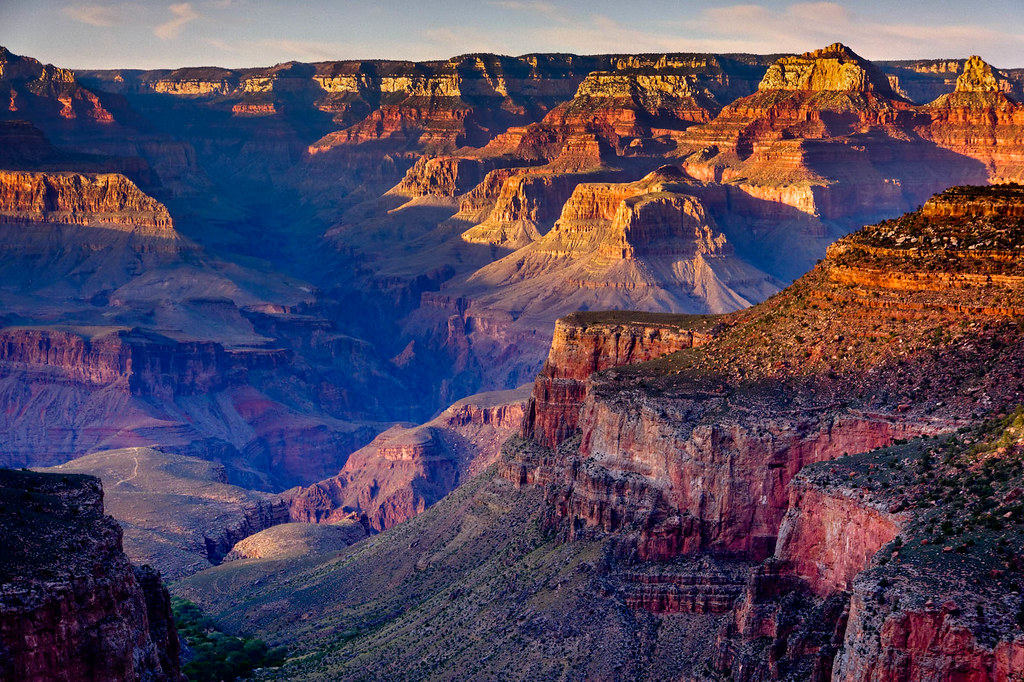
Views can be quite beautiful, especially in low angled evening light.
By continuing down the Bright Angel Trail, you will pass through Havasupai Gardens down countless switchbacks until you reach the Colorado River.
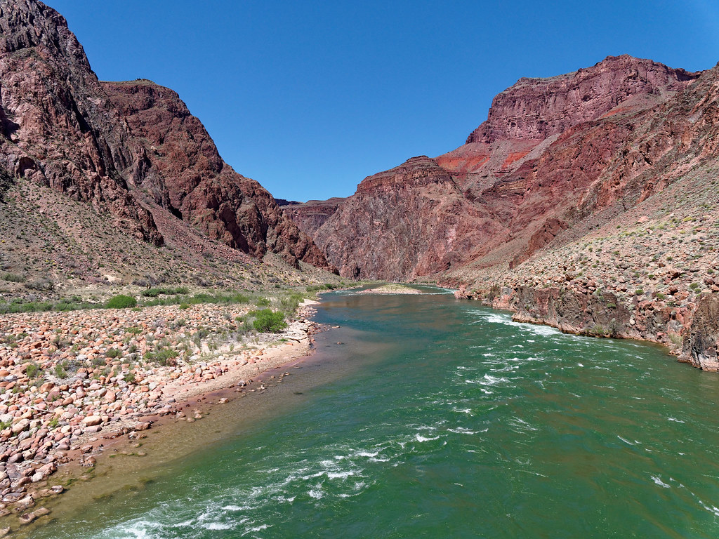
From here you have the same options you had from South Kaibab, only this time you would cross the Silver Bridge to get to Phantom Ranch, Bright Angel Campground and the North Kaibab Trail.
But back at Havasupai Gardens – From here, it is well worth doing the short side trip out to Plateau Point (left of middle in the photo below). Once there you will be treated to views of the North Rim and the Colorado River both upstream …
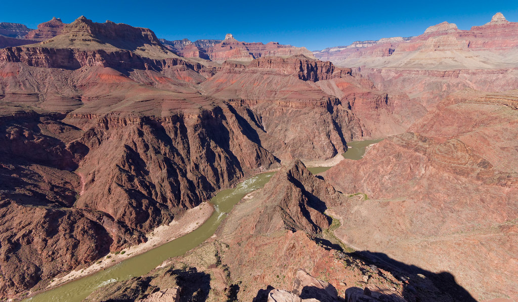
… and down.
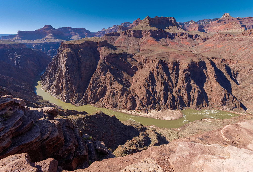
By continuing west on the Tonto Trail from Havasupai Gardens, you quickly leave the trees and people behind. To me, one of the best things about hiking on the Tonto is how it forces you to see just how insignificant we humans are. It is a valuable lesson in humility and a humbling experience. As with the other sections of the Tonto, there are always great views up to the South Rim …
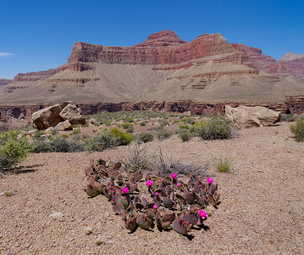
… as well as down to the river.
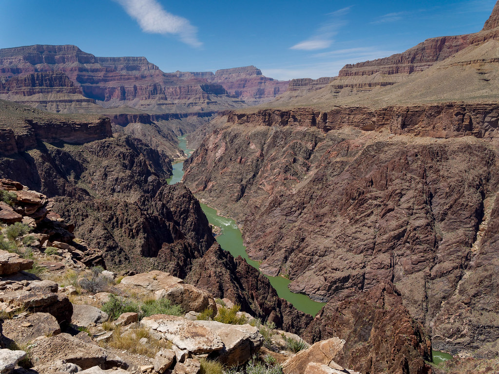
This section of the Tonto takes you to Monument Creek, a popular area to camp. From Monument Creek a notable side trip (or a worthy destination) is Granite Rapids. These rapids are most easily reached from the Tonto by a side trail that intersects it a short distance west of Monument Creek camp.
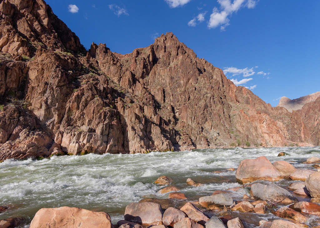
However, to me the best part of being at Monument Creek is exploring the short but lovely slot canyon that Monument Creek flows through.
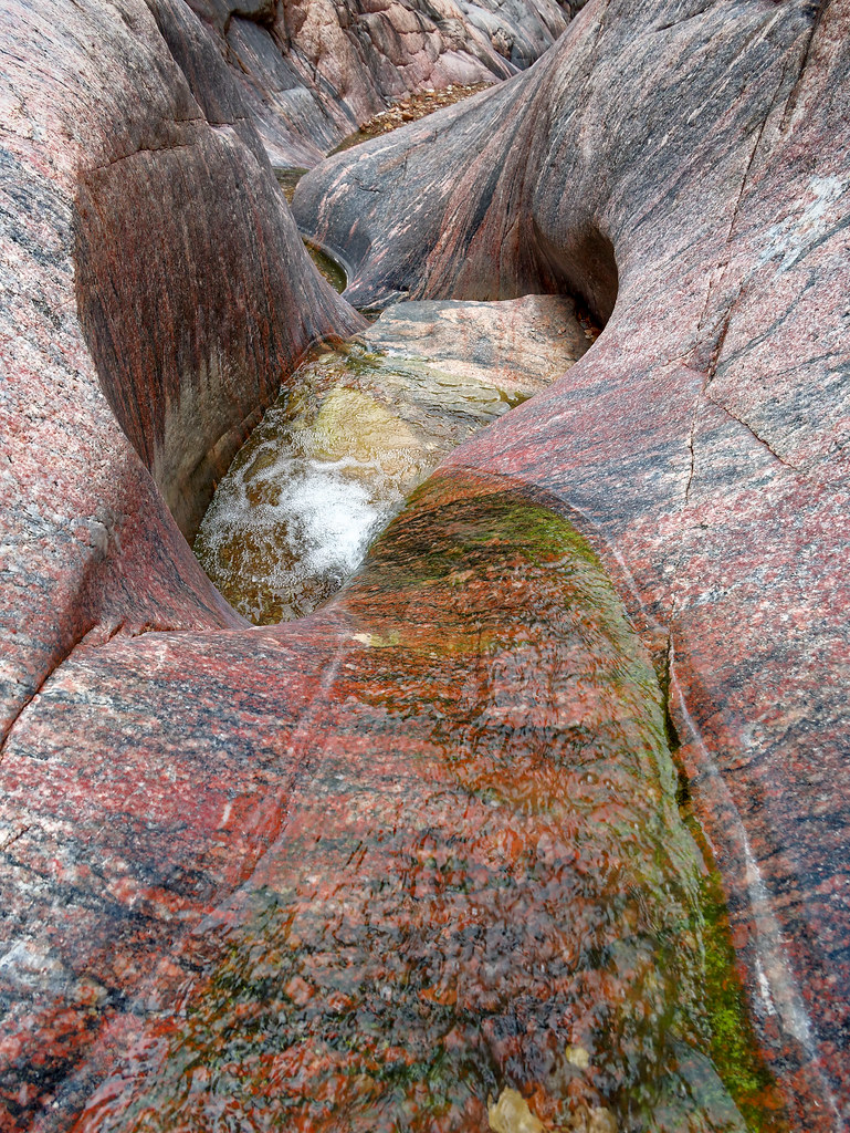
Once exiting the short slot canyon the Monument comes into view. From there you can continue down canyon all the way to Granite Rapids or return to Monument Creek camp and the Tonto Trail via a side trail.
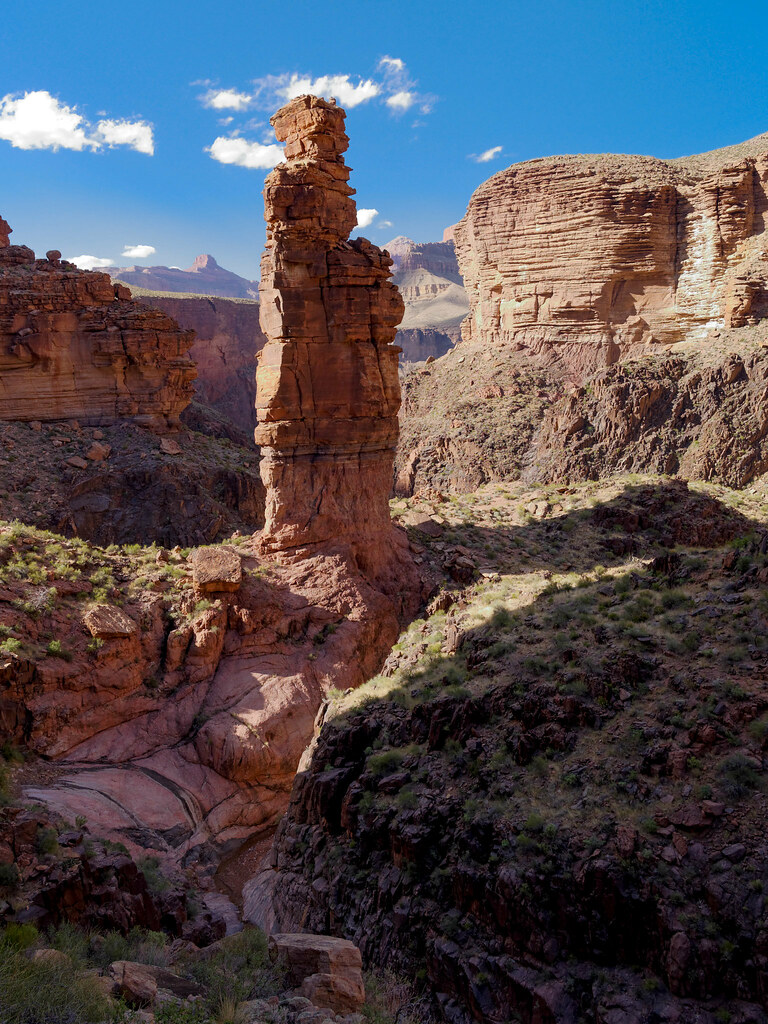
Continuing west on the Tonto you leave the Monument behind and return to the Tonto Platform for views which include down to the river and Hermit Rapids.
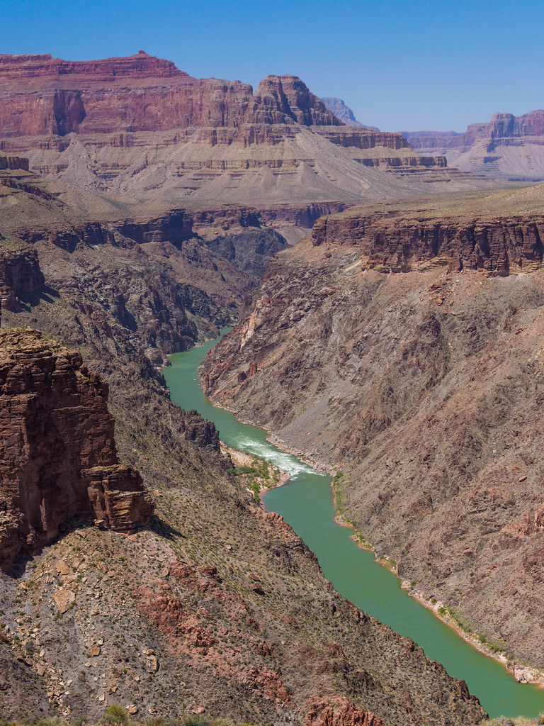
The next trail you will encounter is the Hermit Trail. The trailhead for this popular trail is on the South Rim at Hermit's Rest.
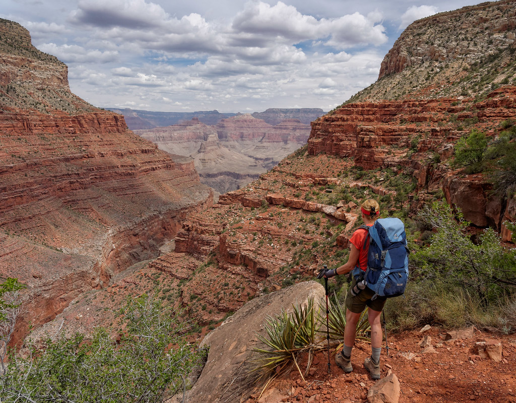
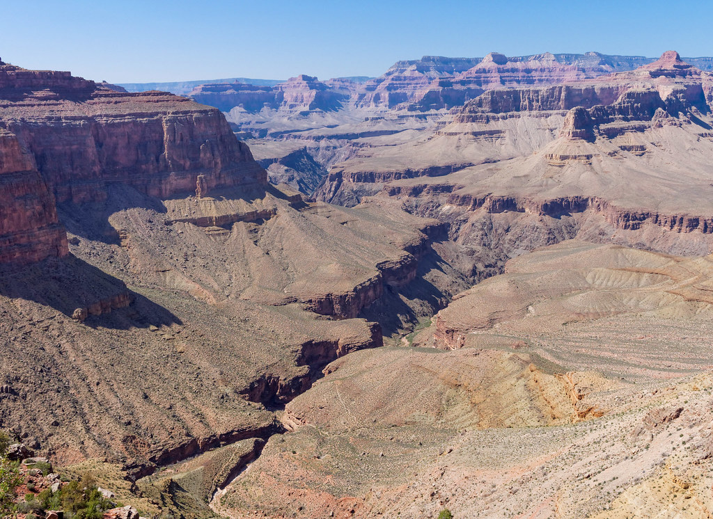
From Hermits Rest this trail initially takes you down through a relatively narrow side canyon before passing the rest house at Santa Maria Spring which provides a welcome respite from the sun. The canyon then begins to open up and views become more expansive. You can look down the length of Hermit Creek Canyon.
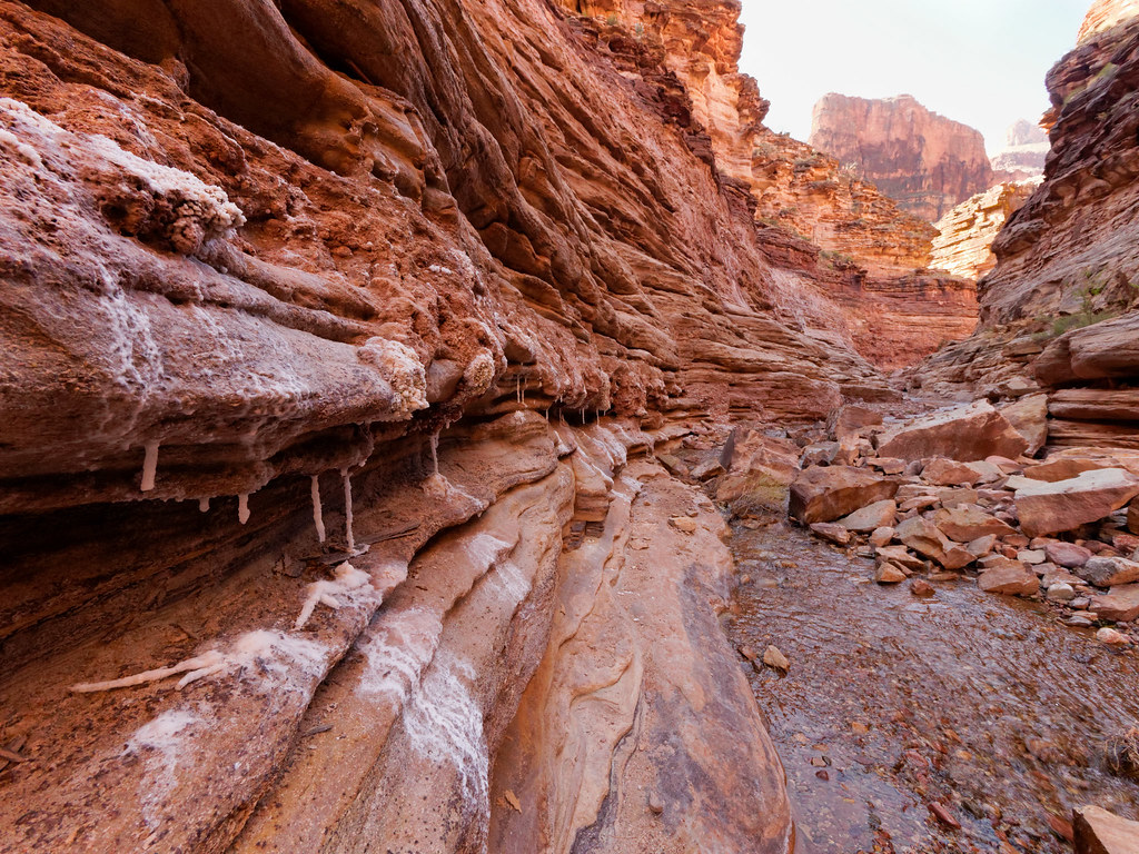
By continuing down the Hermit Trail you will reach Hermit Camp, a well-developed camping area where many backpackers choose to stay. If you do, be sure to allow enough time to day hike down Hermit Creek Canyon to see the unique display of mineral formations.
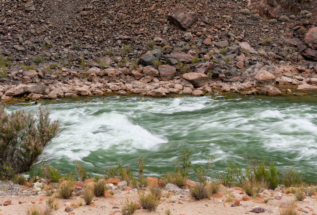
As you approach the river the canyon opens up and you see Hermit Rapids.
The Hermit Trail also provides access to two other trails: the Dripping Springs Trail and the Waldron Trail. Hiking to Dripping Springs is commonly done as a day hike.
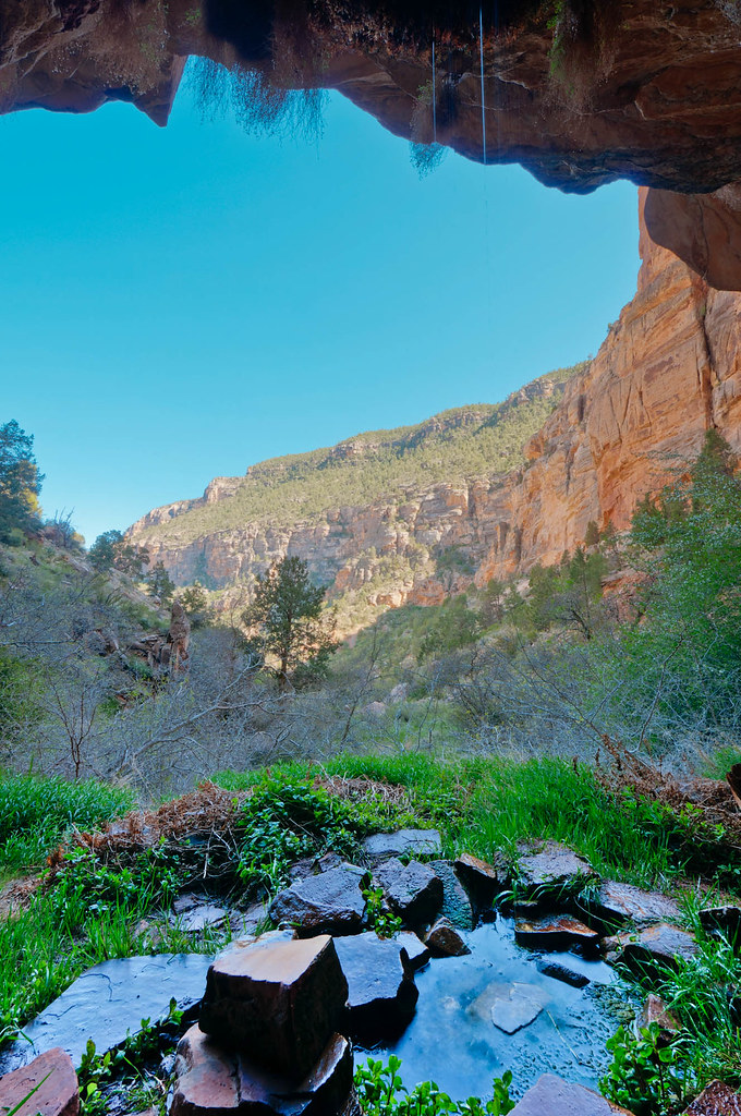
I don't know how many hikers realize this, but the Dripping Springs Trail does not actually end there. By continuing beyond the spring this trail becomes a more rugged and brushy route.
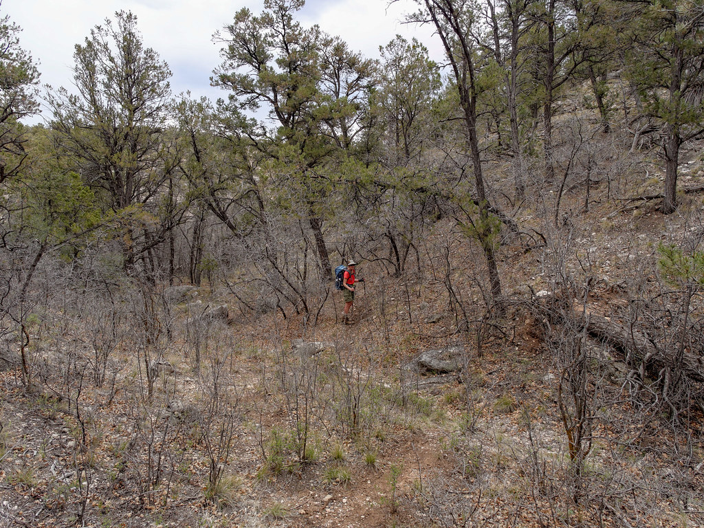
The other trail off the Hermit is the Waldron Trail which offers some attractive views as well as some welcome solitude for canyon hikers looking for something less strenuous.
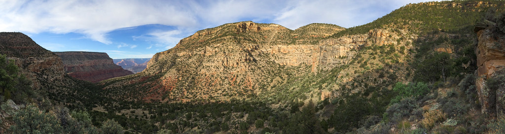
But back in Hermit Canyon – From Hermit Camp the Tonto continues west. You will again be treated to the sweeping views which are common from the Tonto.
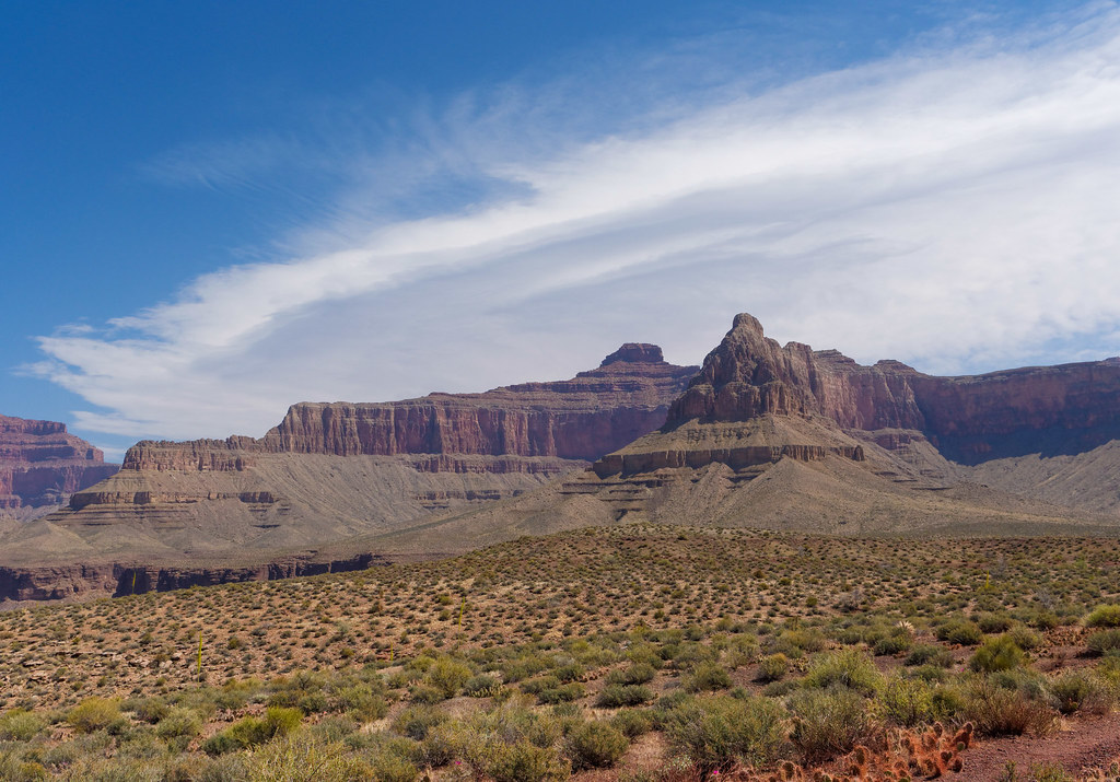
The next trail the Tonto intersects is the Boucher Trail. The trailhead for the Boucher is actually off the Dripping Springs Trail.
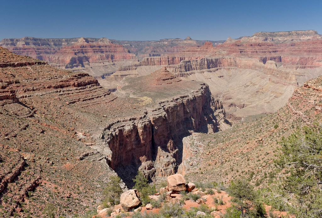
It is unusual for a trail that goes all the way to the river to not originate on the rim.
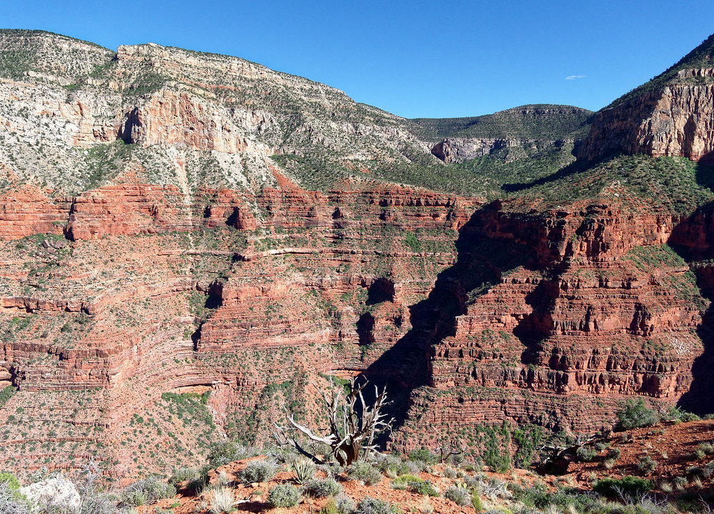
The Tonto and the Boucher share the same trail for a short distance and by continuing west …
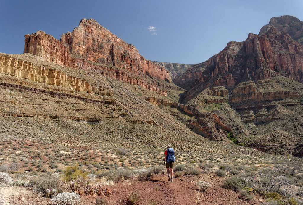
… you will soon reach Boucher Creek. As is the case with Hermit Creek, backpackers can camp here and day hike down the creek to the river and Boucher Rapids.
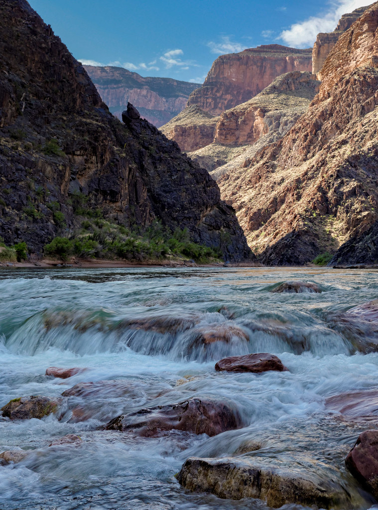
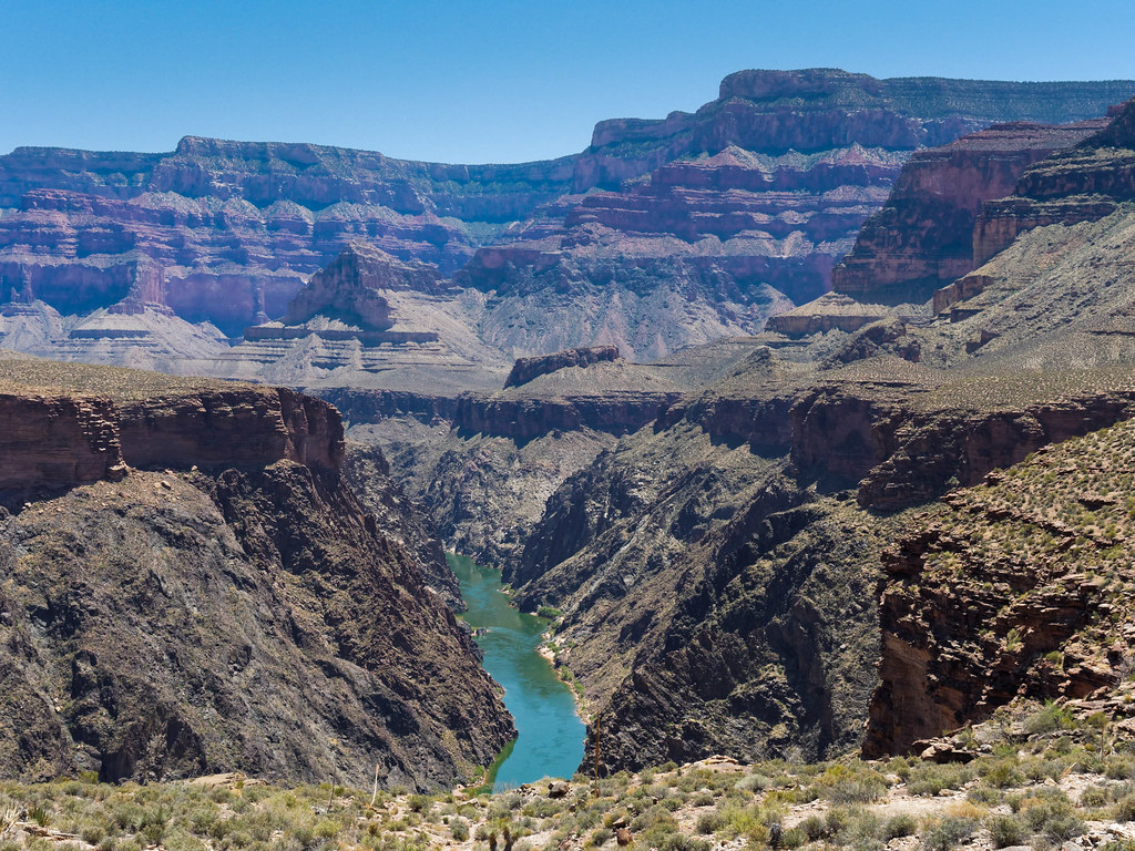
From the junction with the Boucher Trail the Tonto Trail continues west for nearly 29 miles before it intersects with another trail. This trail may be more commonly backpacked west to east but for consistency, this narrative will continue westward. As always, the Tonto offers views up to the South Rim, into numerous side canyons, …
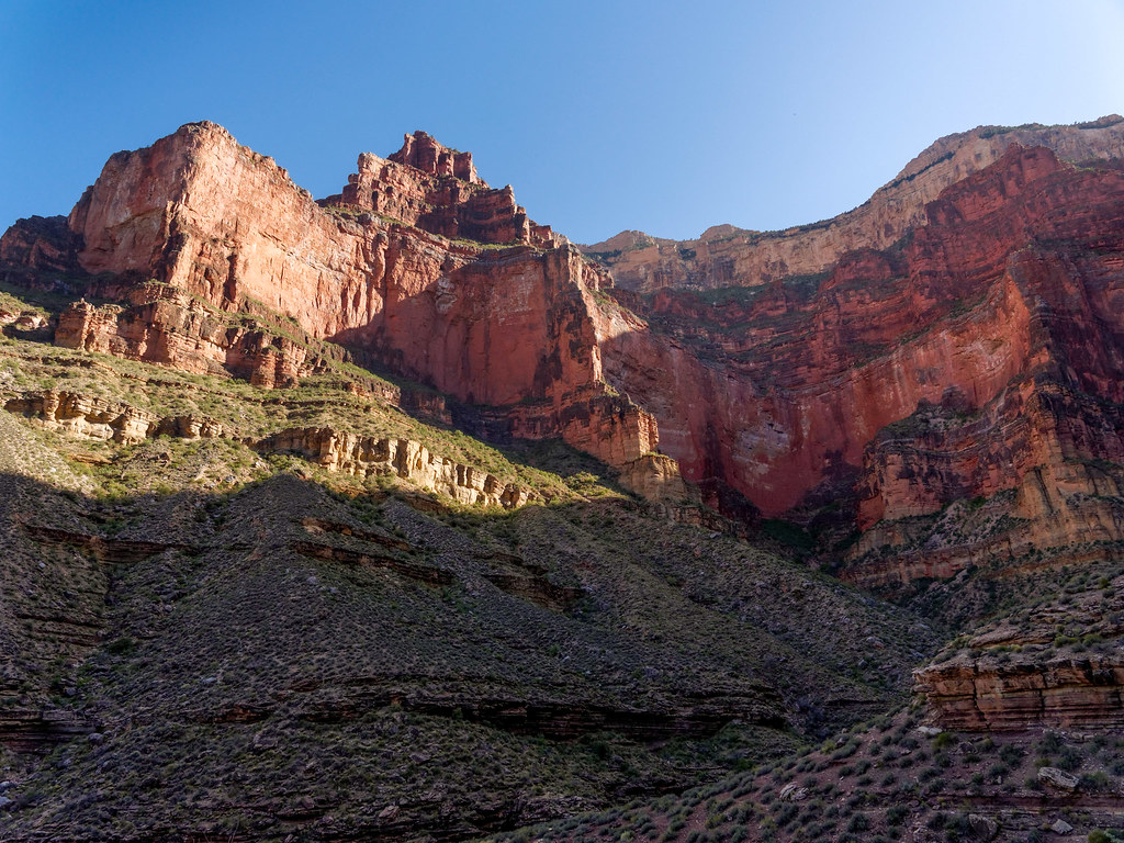
… across to the North Rim and down to the Colorado River.
… as well as the broad Tonto Platform itself.
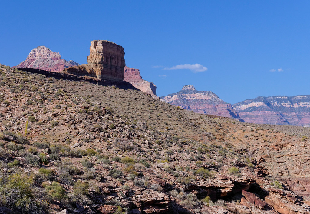
This area of the canyon is often referred to as The Gems as many of the side canyons bear names such as Ruby and Turquoise. Each side canyon offers opportunities for more exploration; some routes are sportier than others.
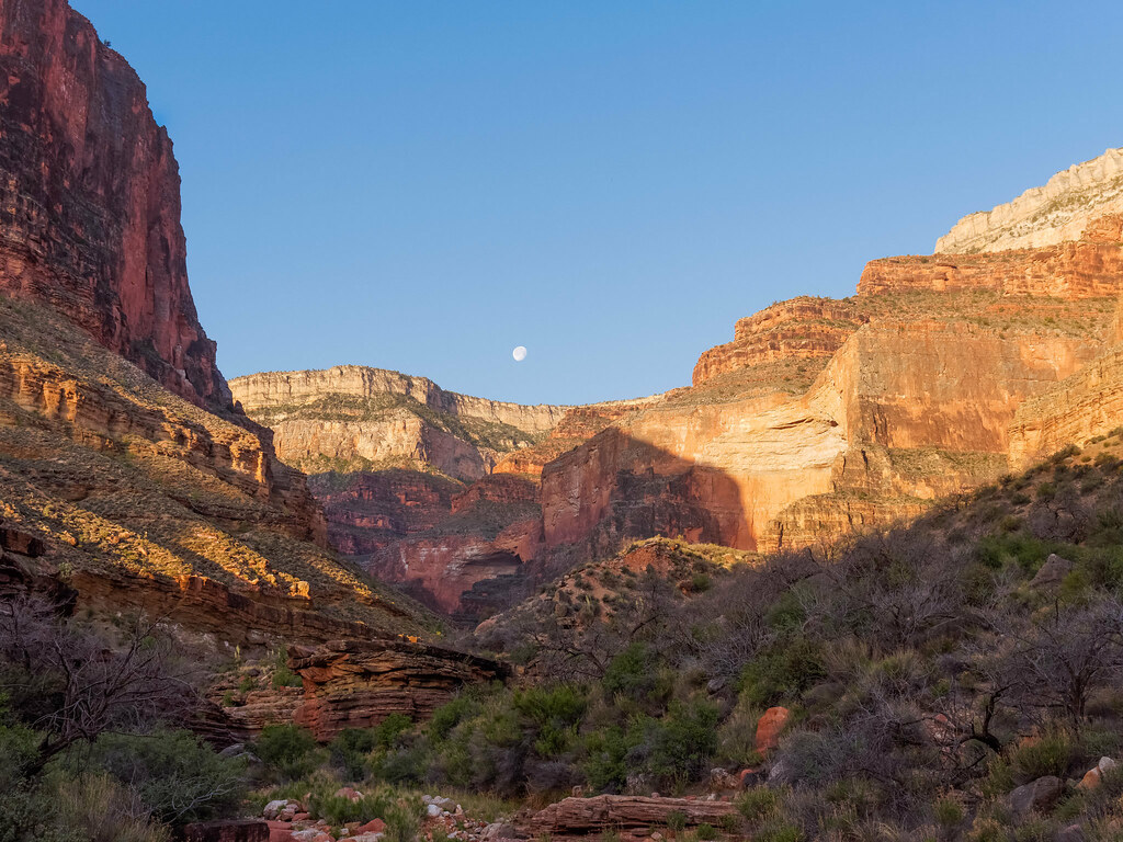
The next trail the Tonto intersects is the South Bass Trail. The trailhead is on the South Rim, and the views come early and keep building.
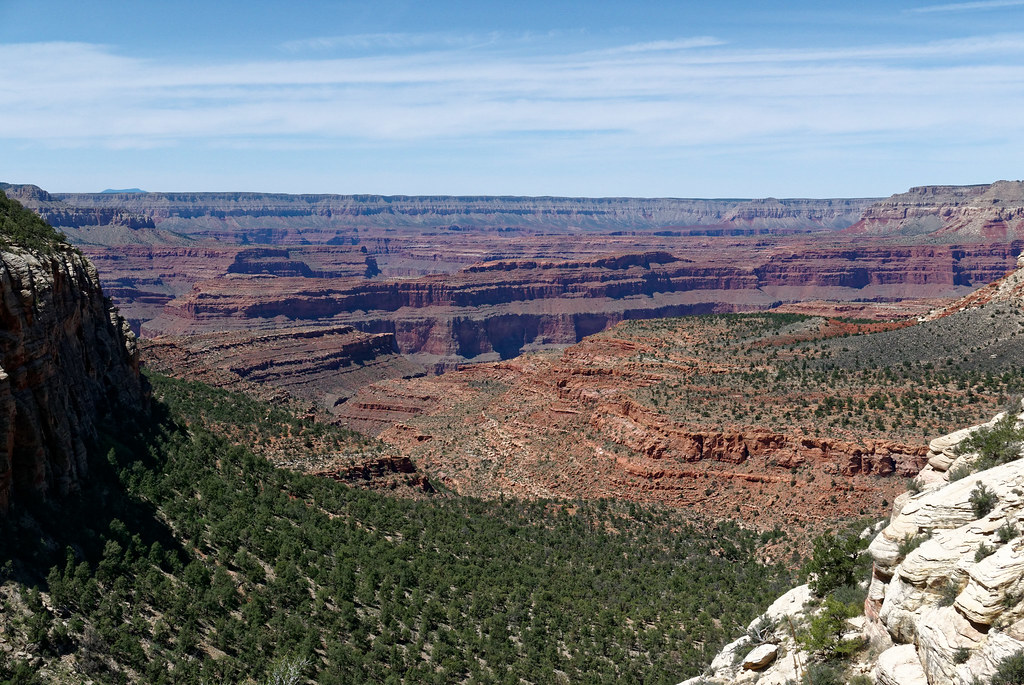
They stay with you all the way down the canyon …
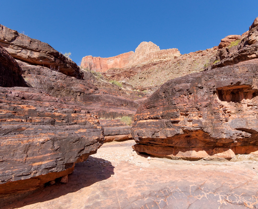
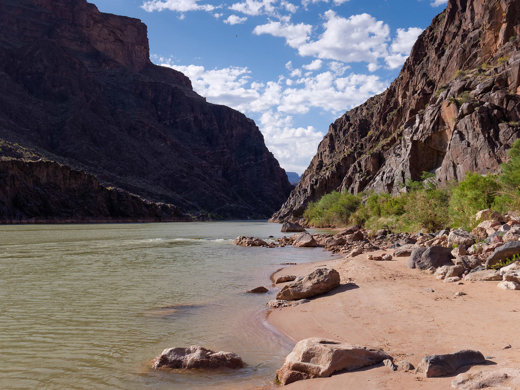
… until you reach the river and South Bass Beach.
Back to the Tonto – From the junction with the South Bass Trail the Tonto Trail continues west. I know I sound like a broken record, but I never tire of views from the Tonto; whether it is up to the South Rim …
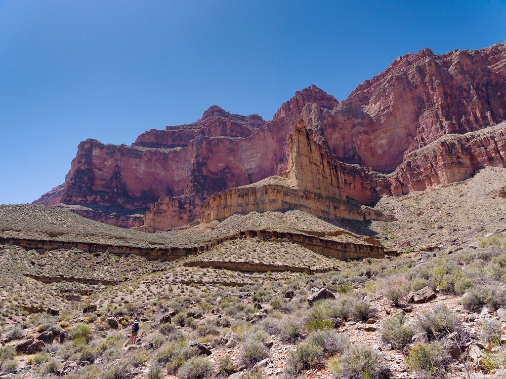
… or down to the river.
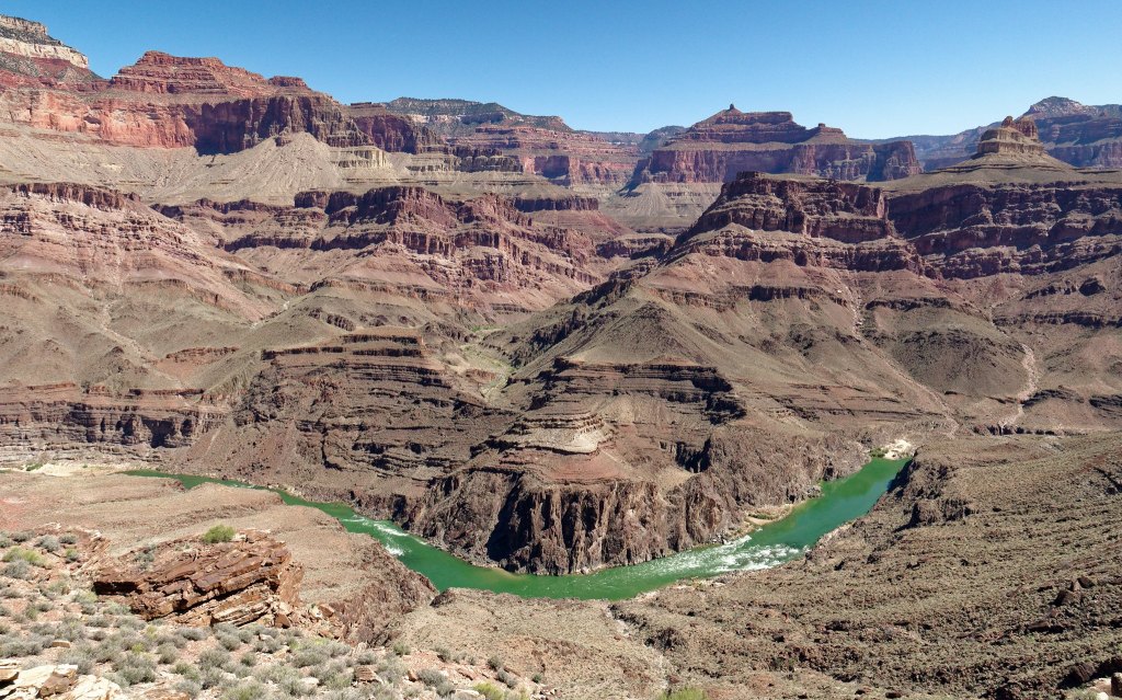
The western terminus of the Tonto Trail is at Garnet Canyon.
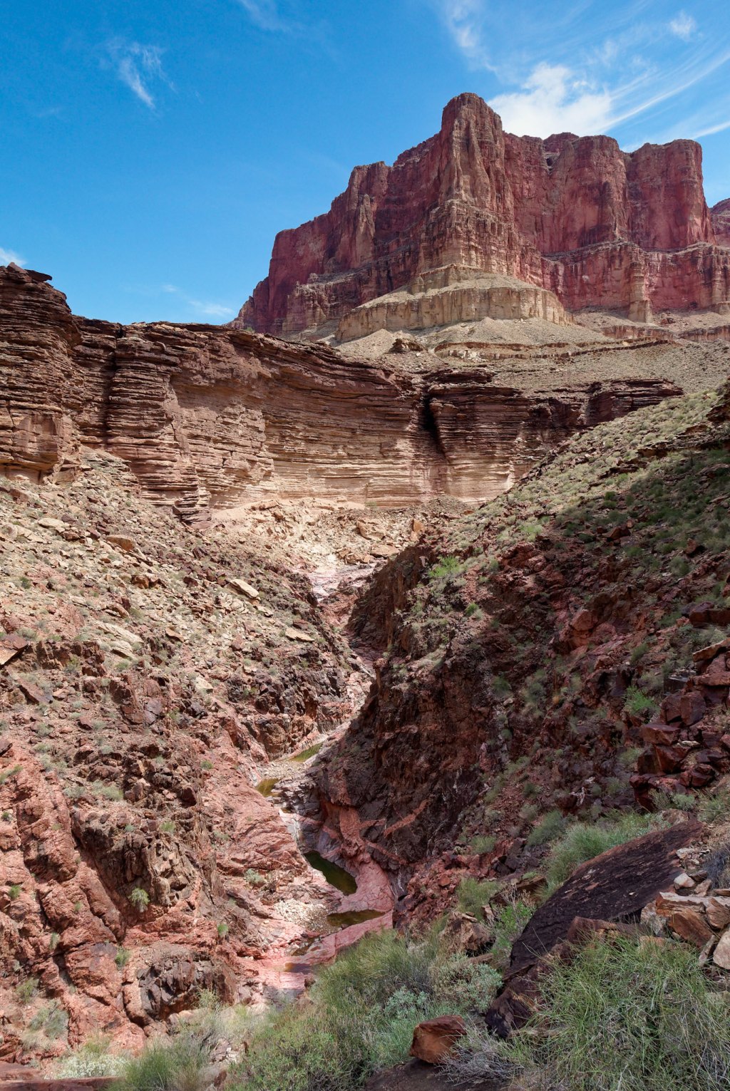
An informal route connects this end of the Tonto to a very scenic and popular route, the Royal Arch Loop. However, this route is most often done in a clockwise direction due to a 20-foot rappel along the route. The Royal Arch Trailhead is at a junction with the South Bass Trail on the Esplanade which initially provides easy hiking.
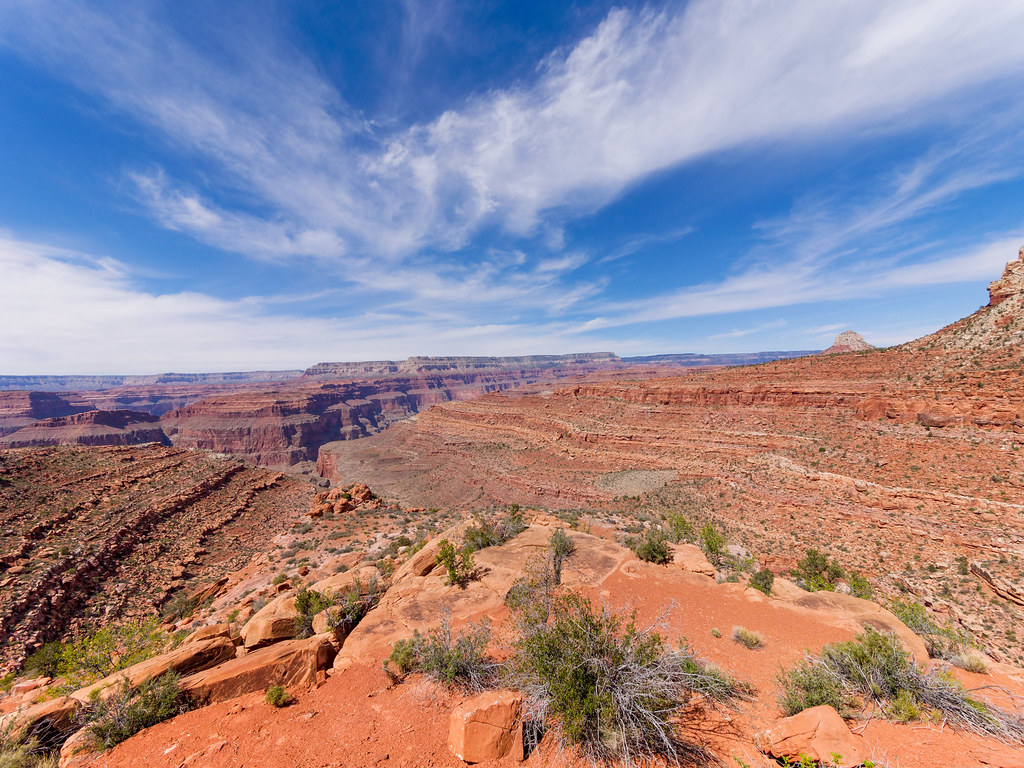
It then drops down into Royal Arch Canyon.
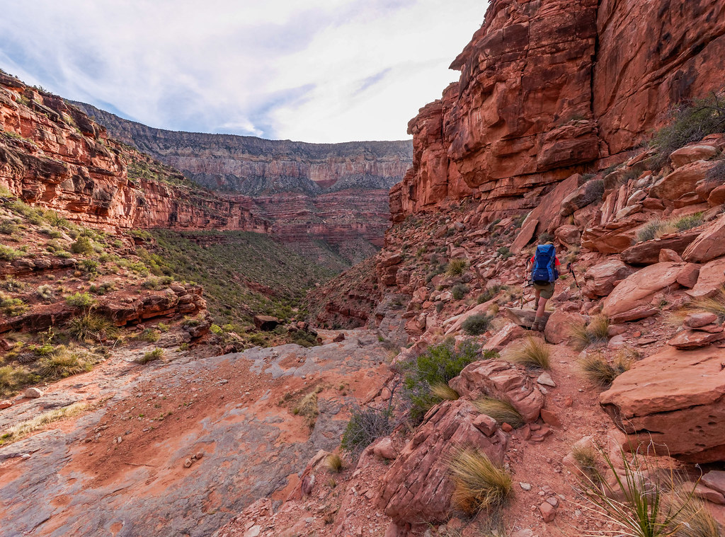
As you continue down the canyon you will periodically encounter obstacles before you reach Royal Arch.
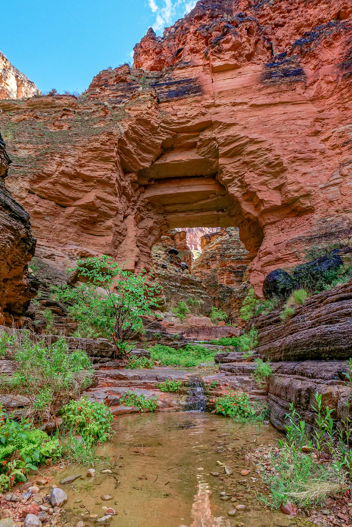
Below the arch is an impressive monolith.
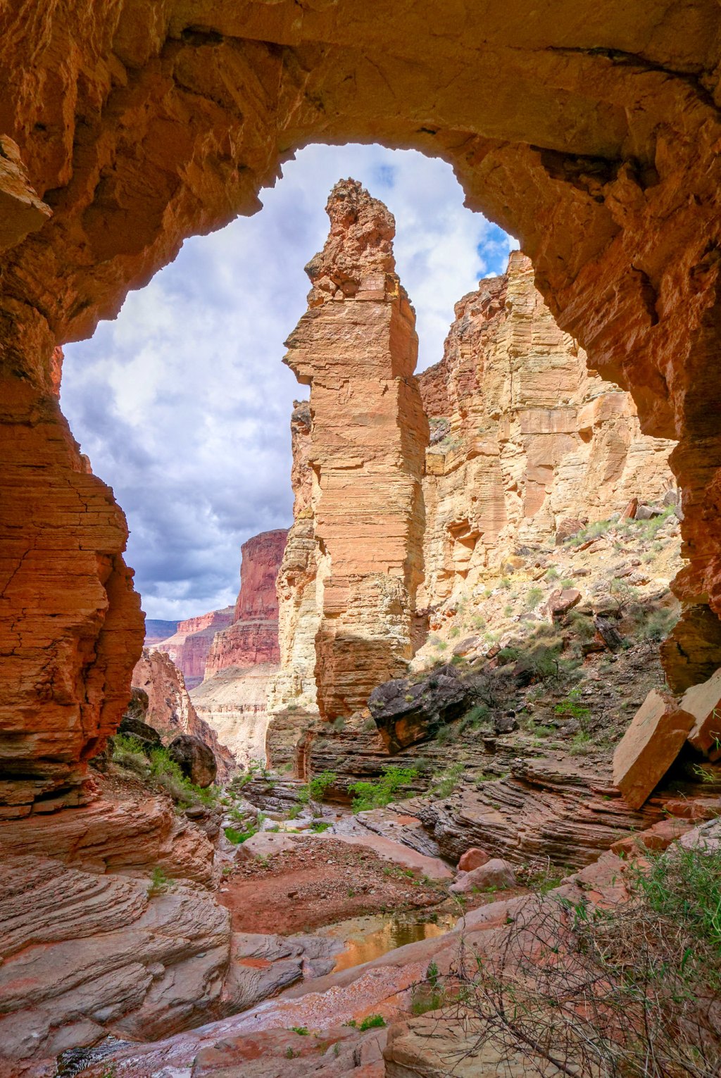
To continue the loop, you must backtrack to a cairn marking the continuation of the loop. The trail initially climbs out of Royal Arch Creek Canyon providing views back down to it as well as growing views of the river both downstream …
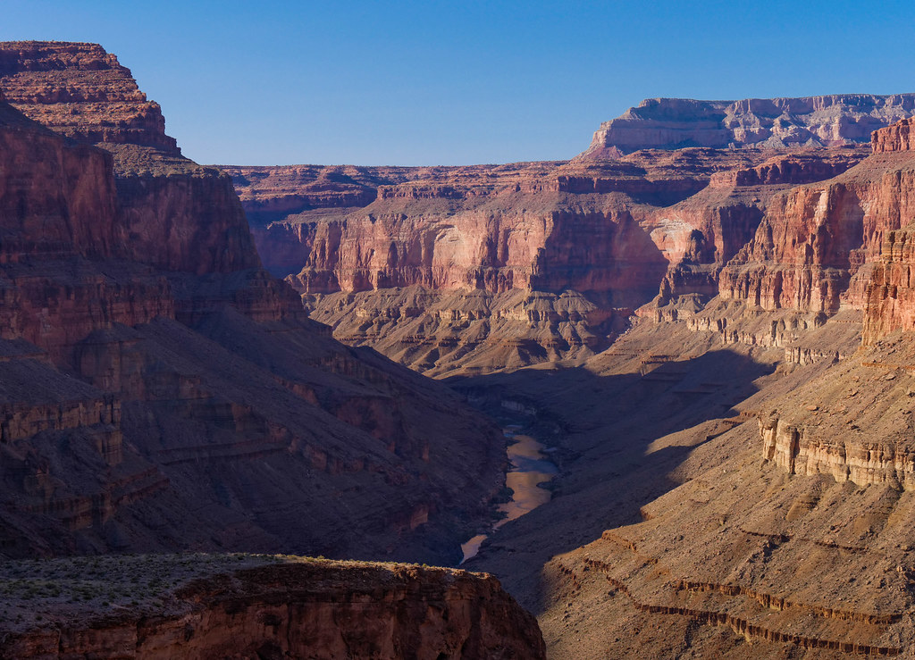
… and upstream. Toltec Beach is a common destination for the day.
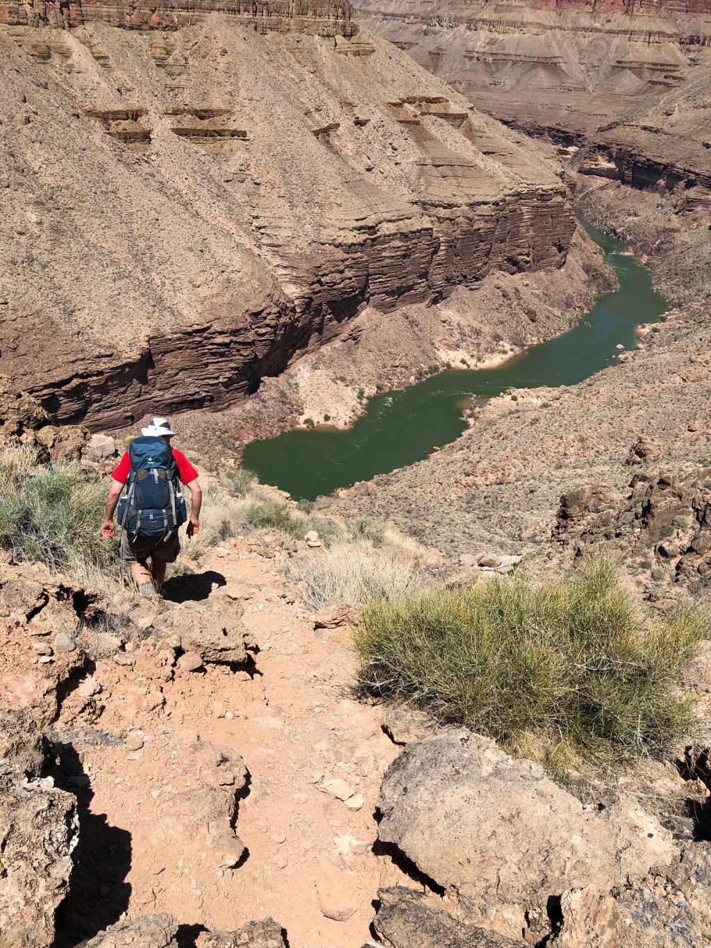
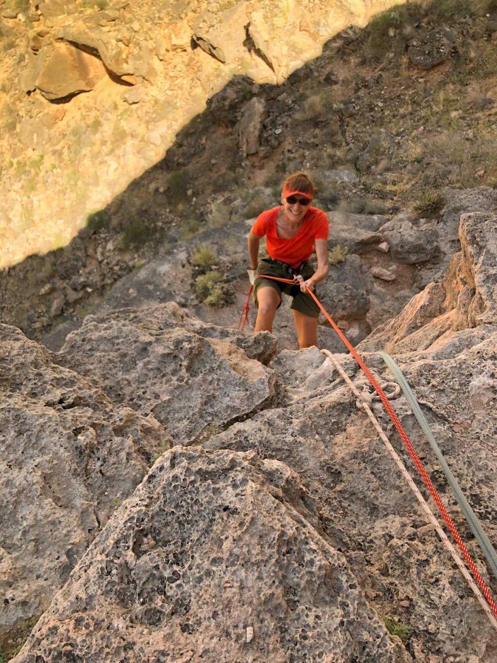
But between here and there is a rock face requiring a 20-foot rappel and some down climbing.
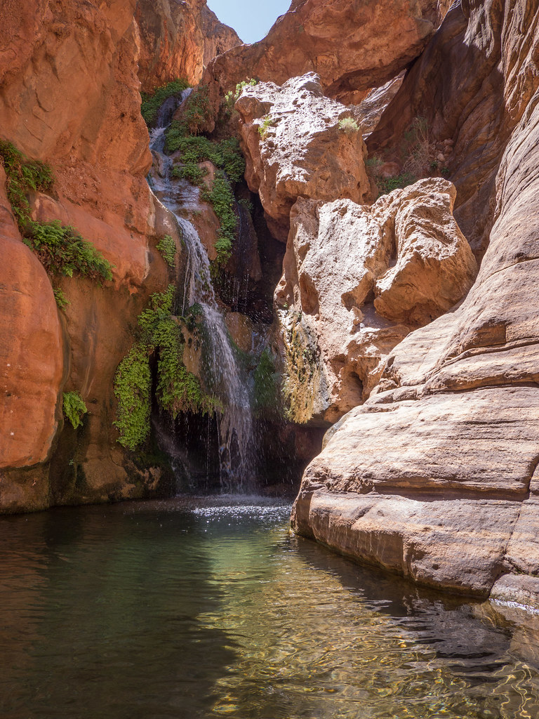
Toltec Beach is the location of the informal trail that will take you downriver to where Royal Arch Creek flows into the river and the stunningly beautiful Elves Chasm.
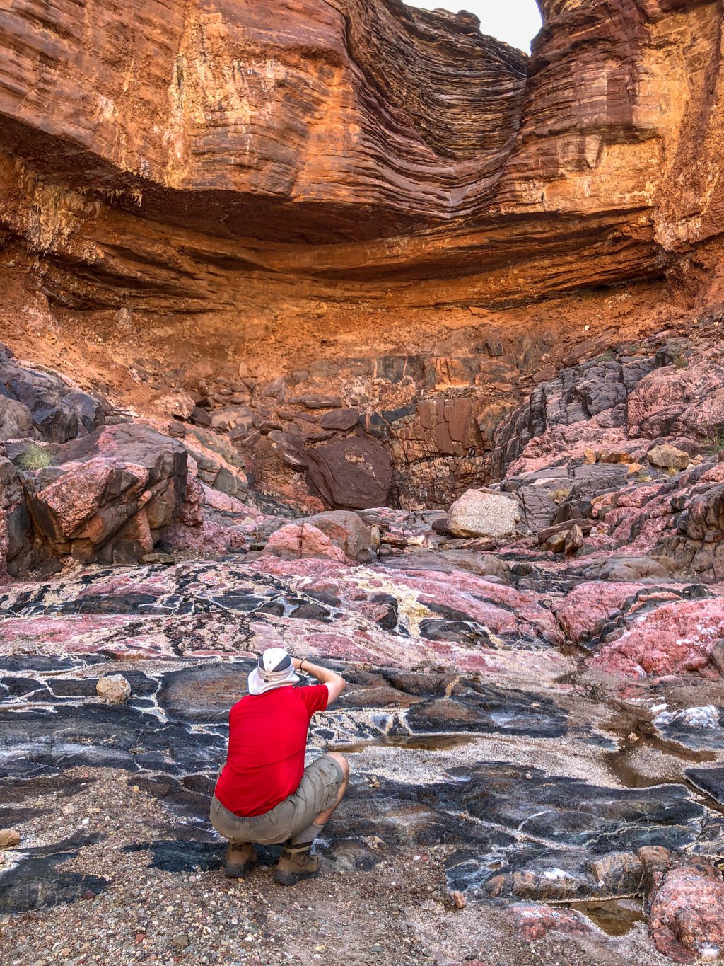
To complete the Royal Arch Loop, you would take the informal route from Toltec Beach to Garnet Canyon. Along the way you will encounter a lovely side canyon that sparkles with quartz and mica in the pink and black rock of the deep Vishnu Schist layer.
After leaving Garnet Canyon you are back on the Tonto Trail. The Royal Arch Loop is the most westerly named trail/route within Grand Canyon National Park that is south of the Colorado River but before this narrative moves to the North Rim, I need to mention a particularly popular iconic location in Grand Canyon. While it is not located within Grand Canyon National Park it is a place every backpacker should visit at least once.
I am referring to Havasu Canyon in the Havasupai Indian Reservation and home to the blue green waters of Havasu Creek. This stunningly beautiful creek forms a series of waterfalls on its way to the Colorado River. The most notable is Havasu Falls.
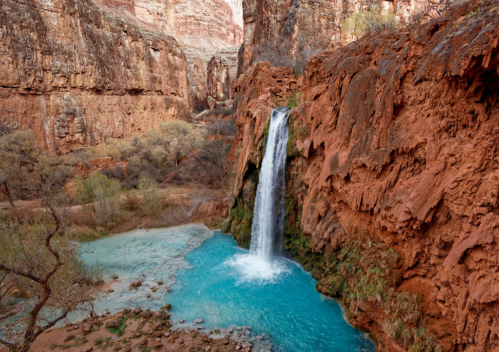
By continuing downstream you will encounter Mooney Falls, …
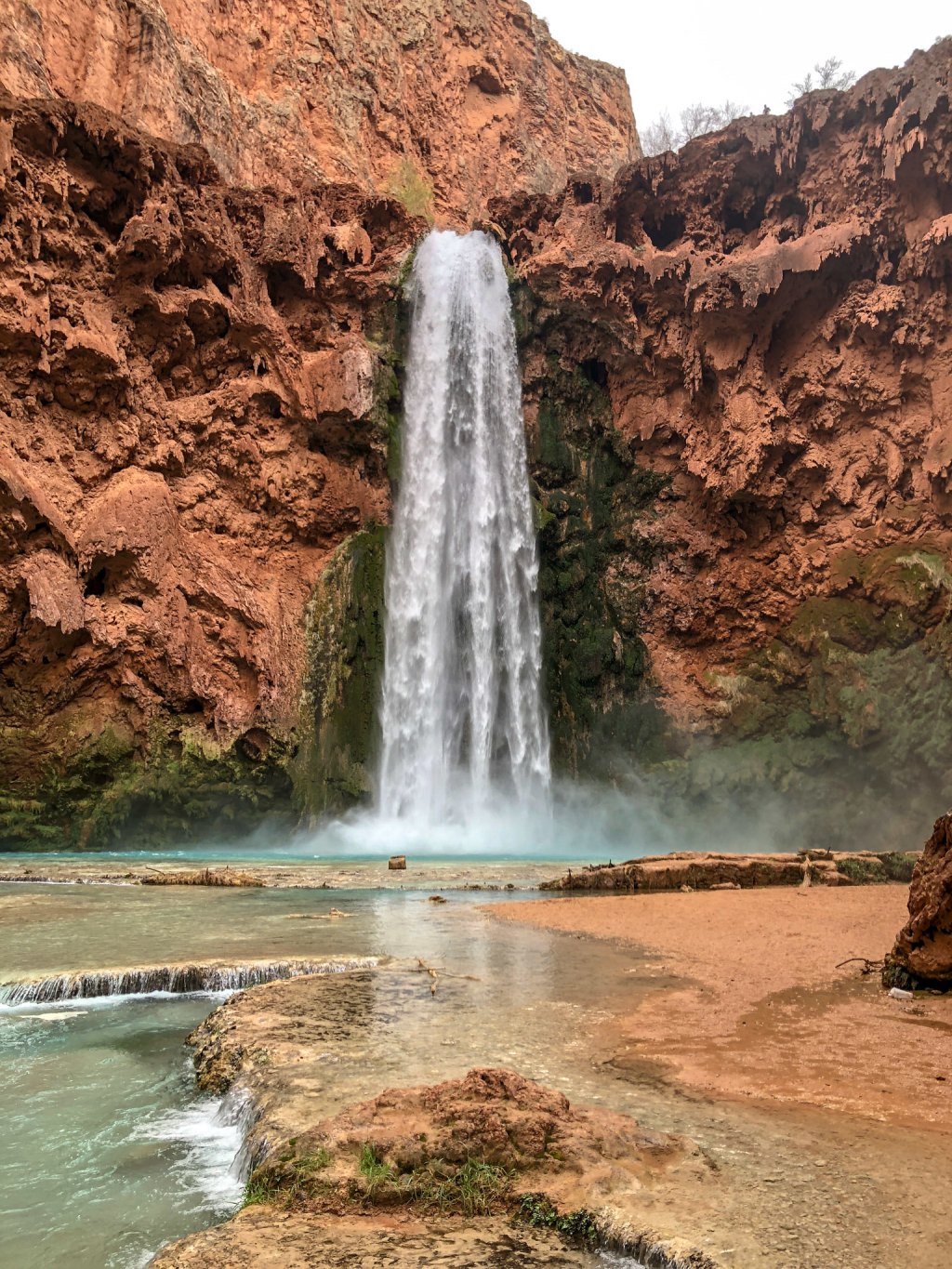
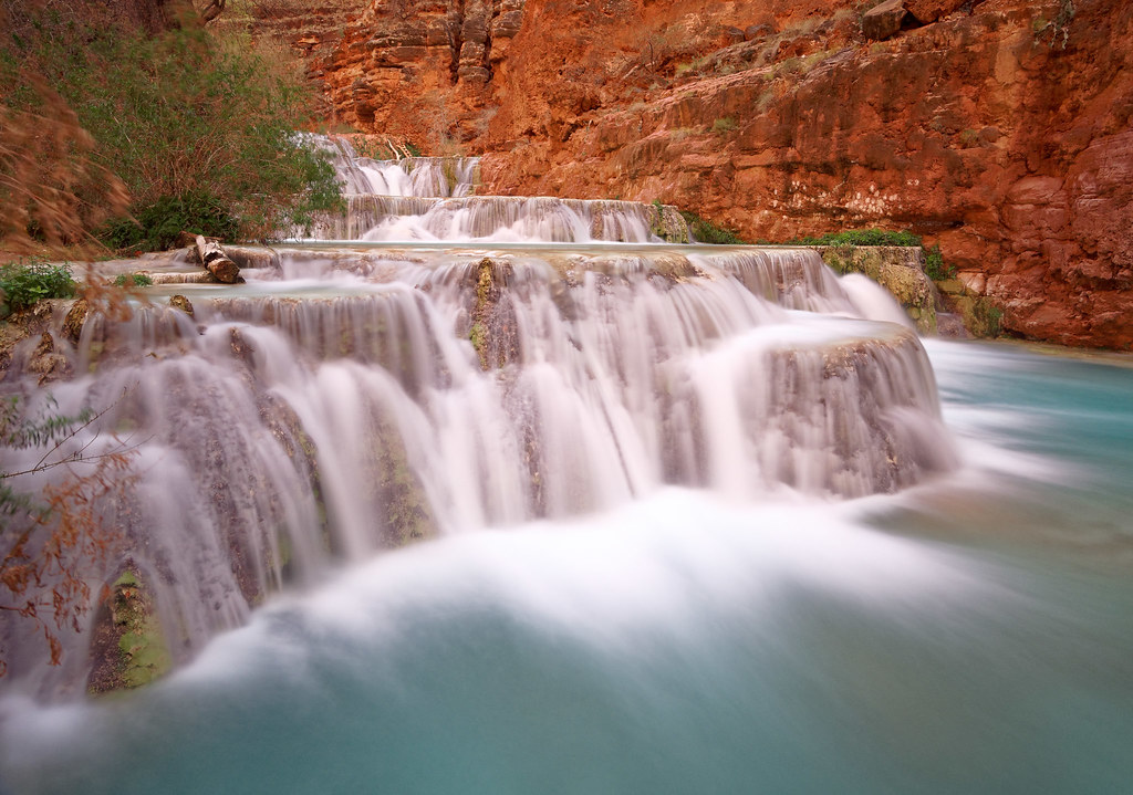
… and Beaver Falls. There are a number of lovely cascades along the way.
The trail continues to follow the creek all the way to the confluence with the Colorado River.
The North Rim
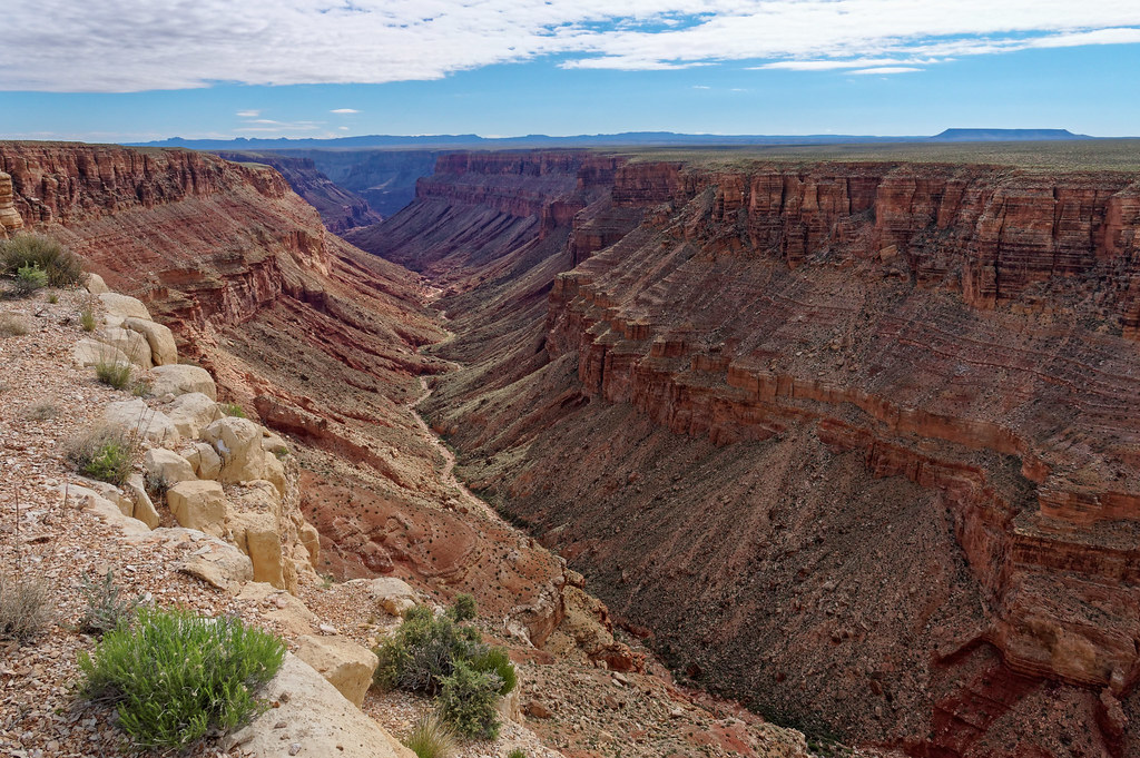
This narrative will now shift to the North Rim where I will begin this tour in the eastern portion of the park and again travel in a westerly direction. The most easterly North Rim trail is the South Canyon Trail. From the trailhead you can see down South Canyon for quite a distance.
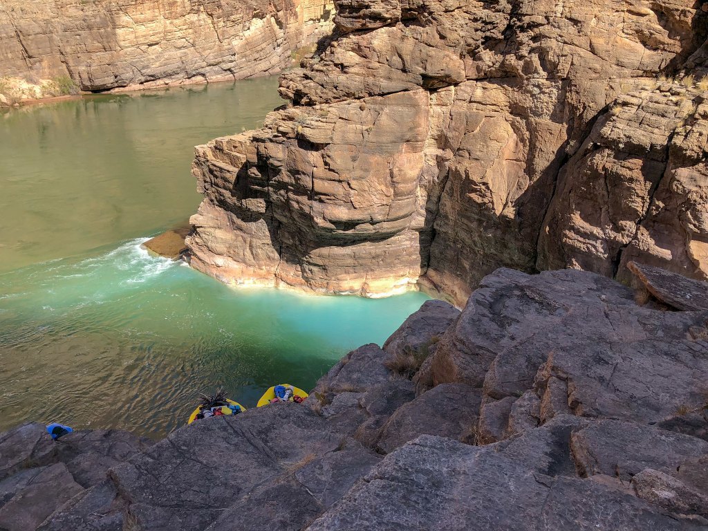
This trail quickly drops to the bottom of the canyon with the occasional bypass. Once to river, the view is unlike any of the other views we have had. The flat green water is perpendicular to the imposing vertical Redwall. It is so straight, it seems constructed and unnatural but it is so impressive.
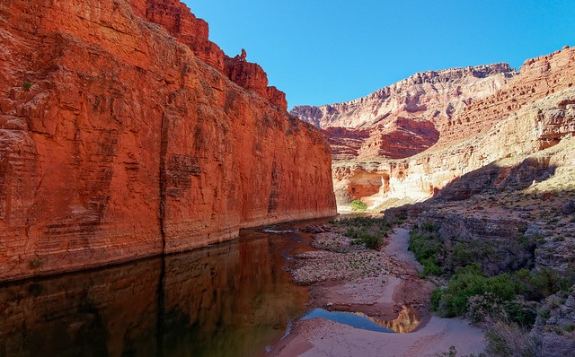
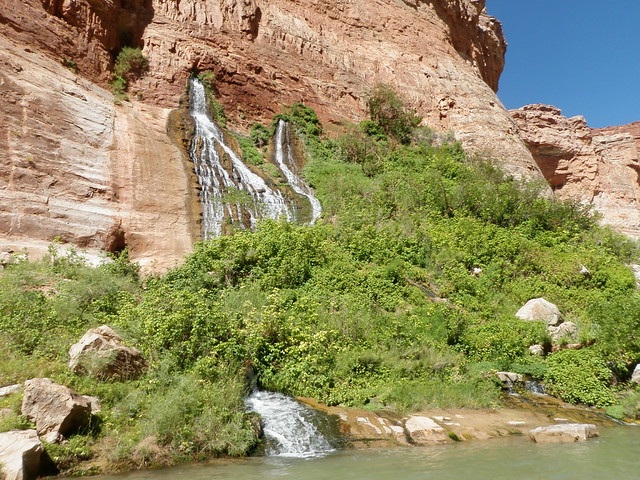
If one hikes downstream, it is possible to reach Vasey's Paradise. We did not do this, and I have read, between the poison ivy and the sloped rock, it is tricky.
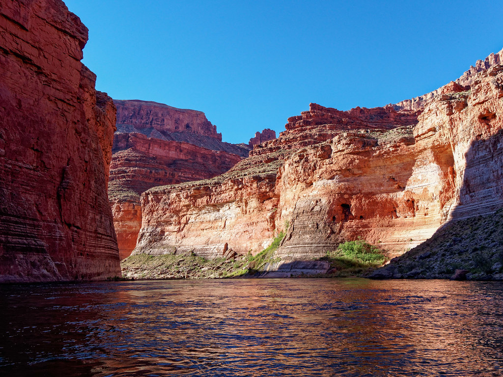
Those on boats have a much easier way to see it.
The next trail in this journey through the park is the Nankoweap Trail. There are two access points for the Nankoweap Trail: from Point Imperial which is within the National Park boundary and Saddle Mountain, which is outside it. We started at Saddle Mountain.
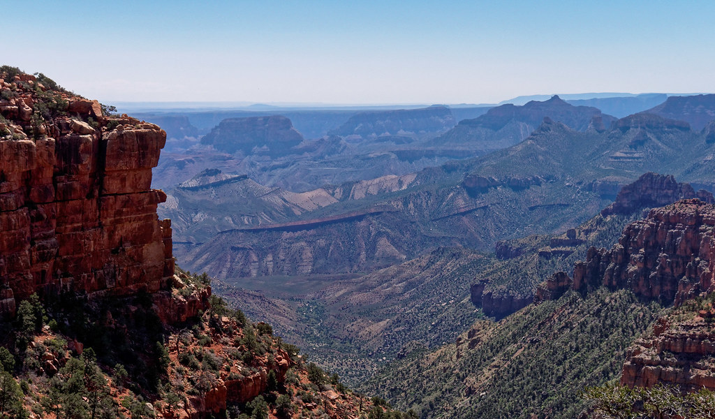
No matter where you start, before long you reach the portion of the trail affectionately known as the Endless Traverse.
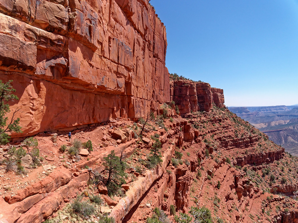
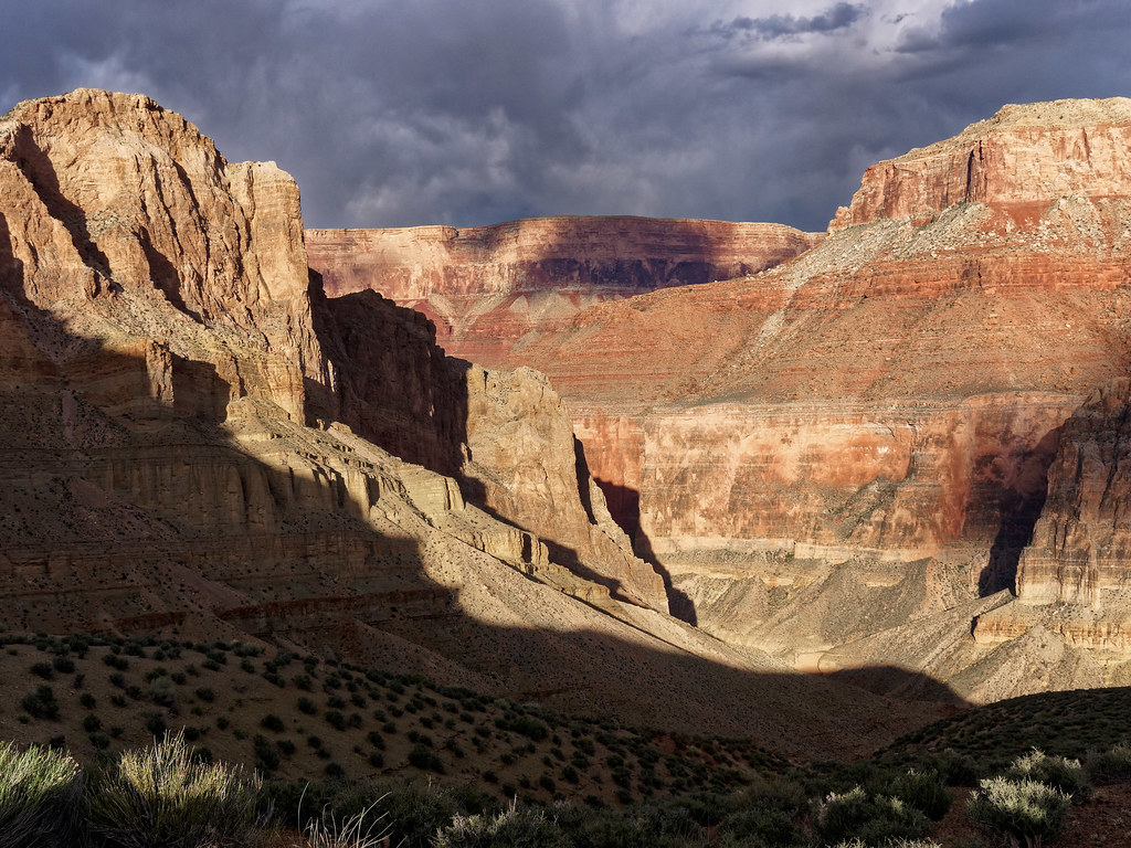
The trail continues toward Marion and beyond it as the traverse continues toward Tilted Mesa. The trail then begins a steep descent providing expansive views of Nankoweap Creek Canyon. It is a great place to be during the magic time late in the day that photographers call the golden hour.
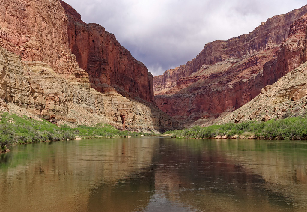
Once to the bottom of the canyon the trail follows Nankoweap Creek downstream to the Colorado River.
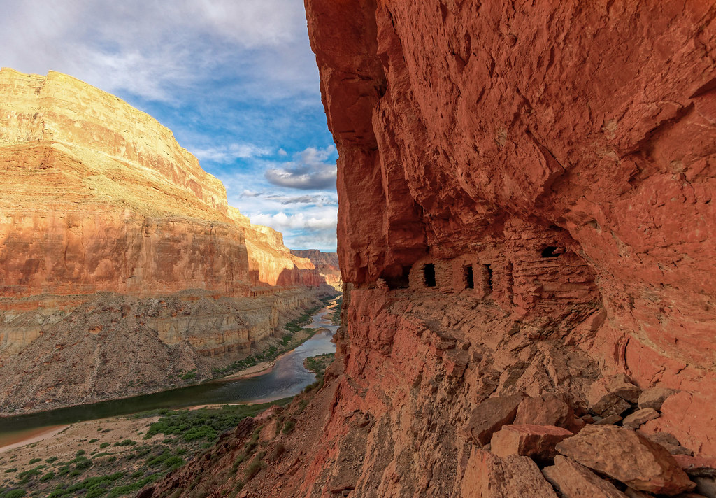
However, the most popular spot is located high up in the rock face: the Nankoweap Granary, constructed by the Ancestral Puebloans who once occupied the area.
An option for backpackers is to also do a short day hike up the Little Nankoweap Canyon.
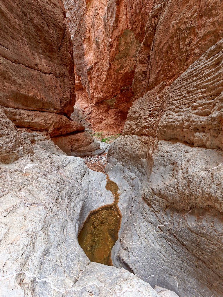
Back on the rim – By continuing west in the park you will encounter several trails on the North Rim that don't descend into the canyon. From Point Imperial one can hike east for views across to the Nankoweap Trail and down Nankoweap Creek Canyon.
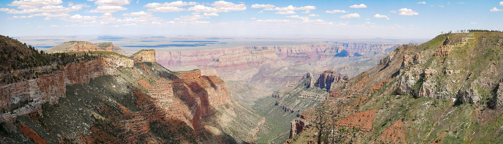
From Point Imperial you can also hike to the west on the Ken Patrick Trail for sweeping views of Bright Angel Canyon.
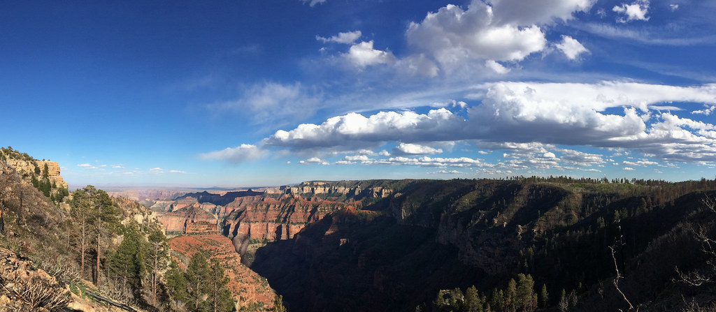
A short drive will get you to Cape Royal and short hikes will treat you to a view of Angels Window …
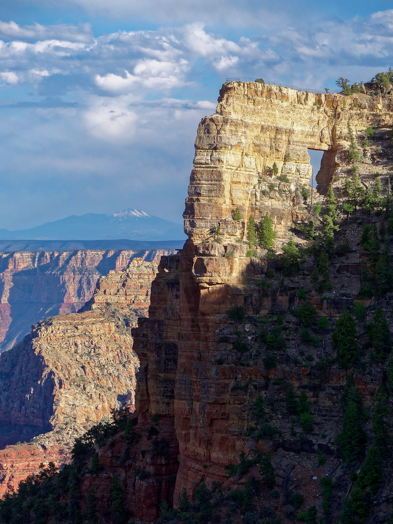
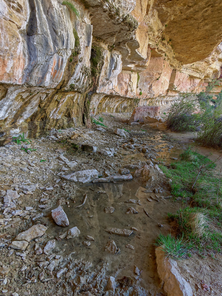
… as well as the intimacy of Cliff Spring
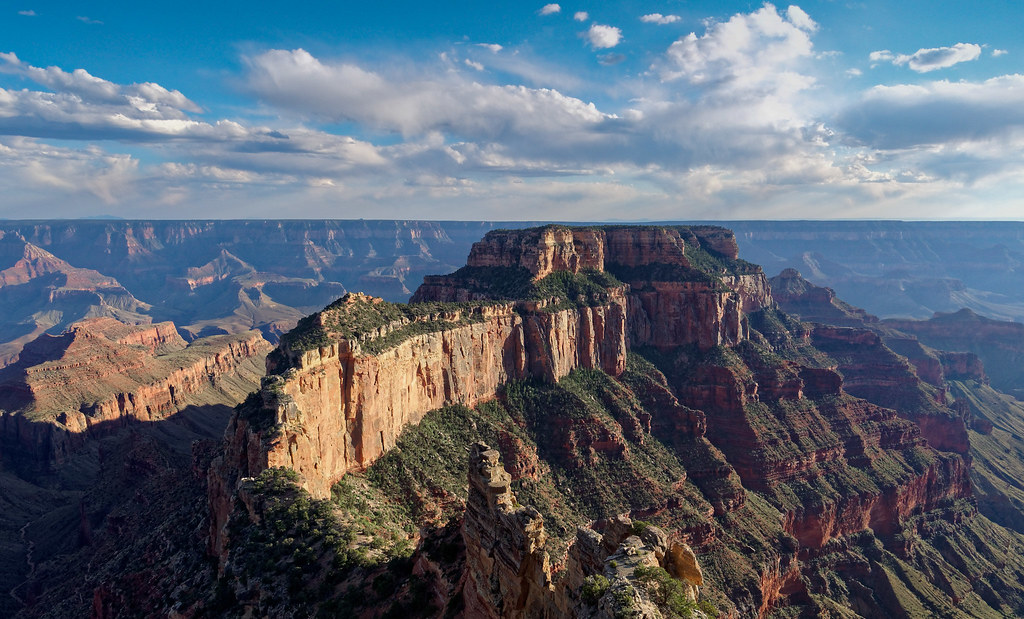
From Cape Royal one can also see notable features such as Wotans Throne.
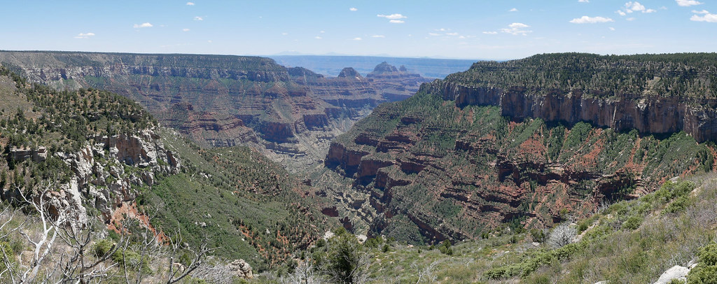
A longer drive to the North Kaibab parking lot will take you to the access point for four trails. By walking toward the east (and just past the mule paddock) you will see the trailhead for the Ken Patrick Trail. Most of this trail is no longer maintained and I can't recommend hiking it in its entirety. Fortunately the best views are seen just a short distance west of Point Imperial. However, the Ken Patrick will enable you to get to the short Uncle Jim Trail and this view of Bright Angel Canyon.
Undoubtedly the most popular trail from the North Rim, and one of the three corridor trails, is the North Kaibab Trail. It first descends into Roaring Springs Canyon. On August 29, 2026, a devastating flash flood struck Bright Angel Canyon and the Phantom Ranch area, causing deaths and extensive damage to trails and infrastructure. The North Kaibab Trail and other affected areas were closed while the Park Service assessed the damage and began recovery work. John’s photographs preserve the beauty of the trail as we knew it.
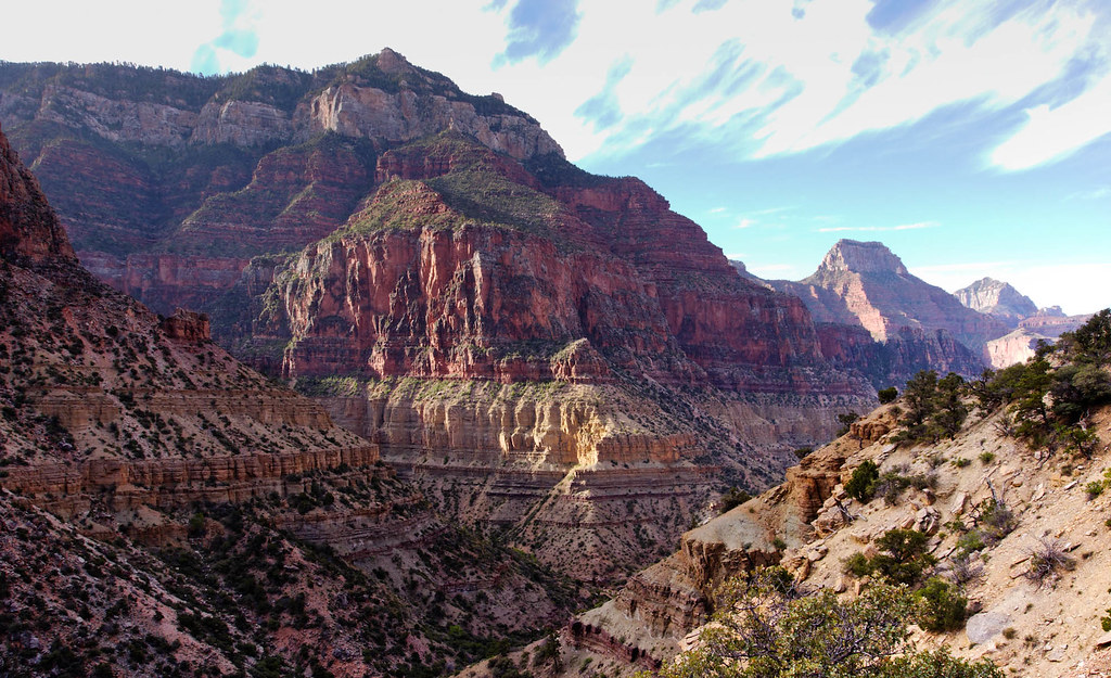
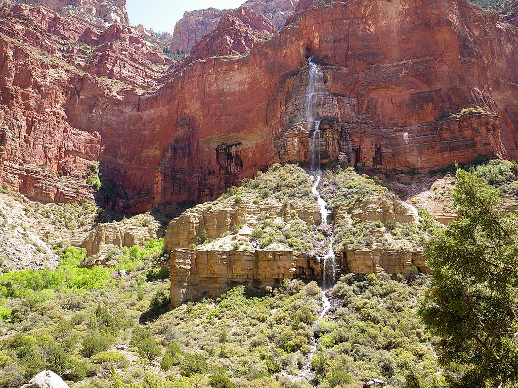
On our hikes, the trail gave us views of Roaring Springs in the distance.
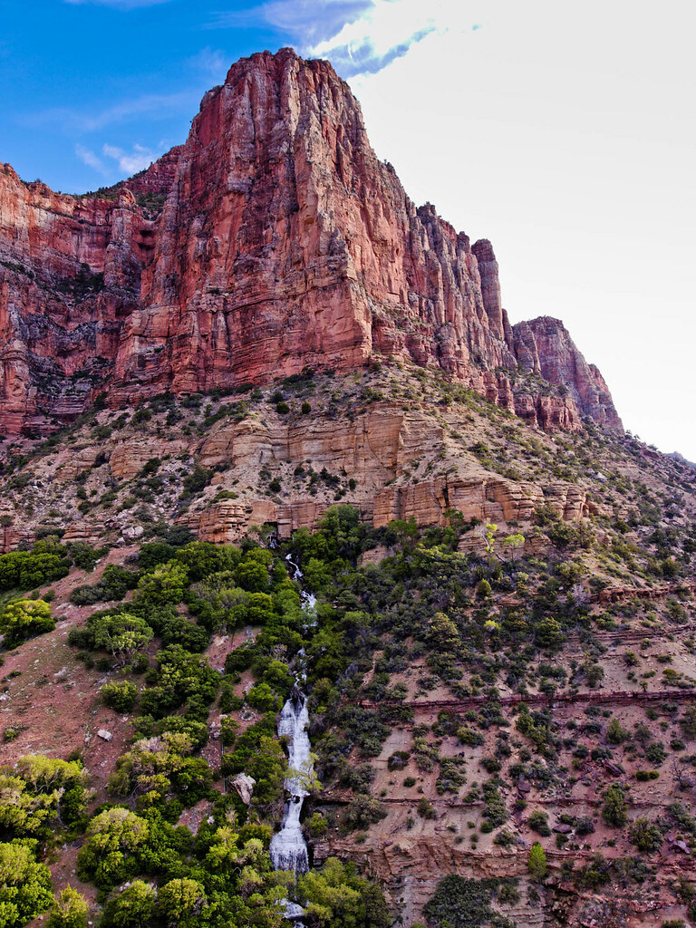
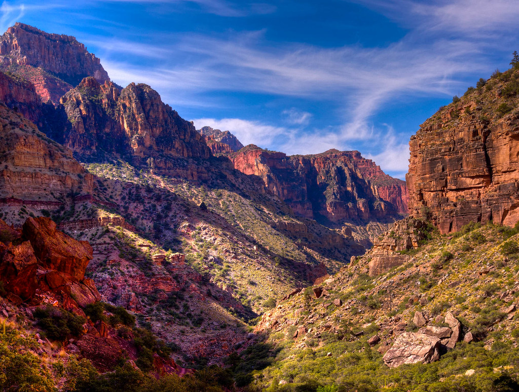
We continued on the North Kaibab down Bright Angel Canyon.
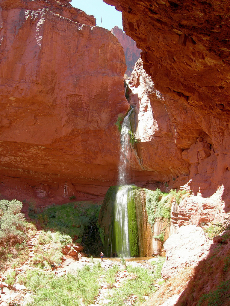
Further down the trail a notable side trip is to see Ribbon Falls …
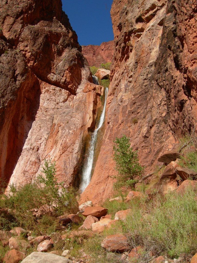
… and Upper Ribbon Falls
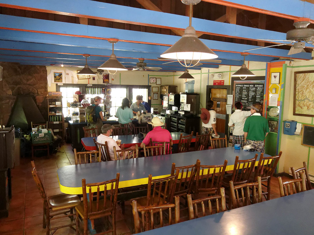
Continuing down the trail brought us to a very popular destination, Phantom Ranch (especially the canteen for a well-earned break and cold drink).
But backing up a bit – shortly before the North Kaibab Trail reaches Phantom Ranch you will encounter the trailhead for the Clear Creek Trail. This trail is more commonly accessed from the South Rim. Not only is the South Rim open all year (unlike the limited season on the North Rim) providing more opportunities, both the South Kaibab and Bright Angel Trails are shorter and have less elevation loss than the North Kaibab.
The Clear Creek Trail is unusual for North Rim Trails as it traverses the Tonto Platform. What can I say about the views from the Tonto Platform that I haven't already said?
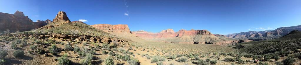
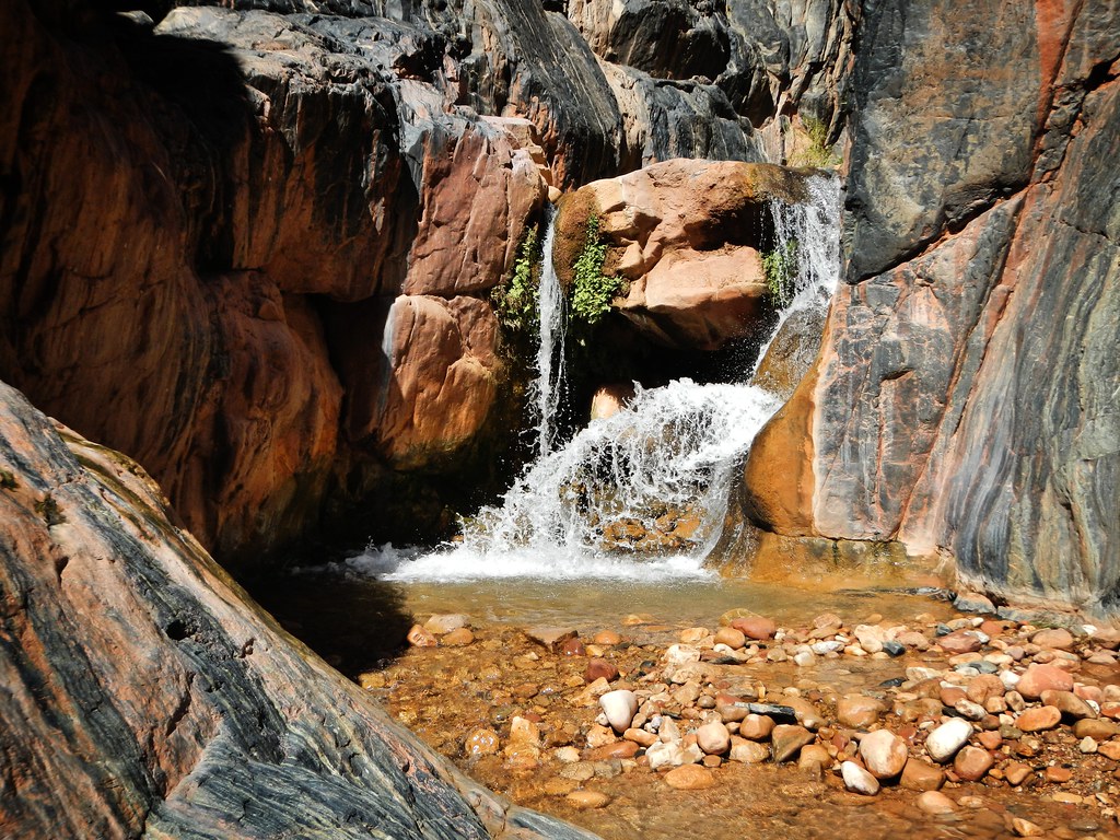
The trail continues to Clear Creek Canyon. The designated camping area is by the creek. From there backpackers have the option to hike down the canyon all the way to the river. We did not do this but if we had I know John would have spent a lot of time photographing Clear Creek Falls.
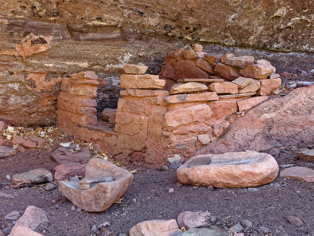
Instead, we opted to hike up the canyon as we wanted to see this granary.
Another popular destination on this hike is seeing Cheyava Falls, the highest falls in the park. Unfortunately, we were there (April 2015) after several dry years and the falls were dry. However, after a wet winter it can start flowing again.
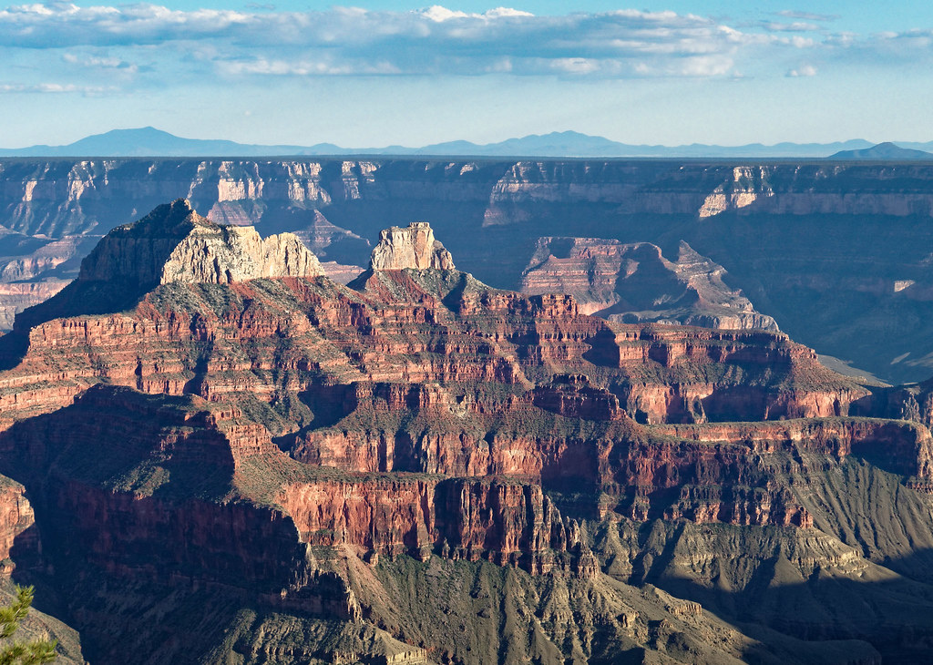
Back on the rim – A short walk on the easy Transept Trail, located within the heart of North Rim services, provides excellent views such as this.
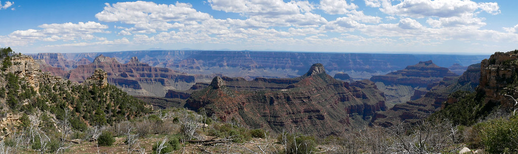
Further west the Widforss Trail is a lovely, wooded trail that leads one to a sweeping view from Widforss Point.
Continuing west on the rim the next trail is the North Bass Trail. This trail starts at the remote Swamp Point which provides an outstanding view down much of the length of North Bass Canyon.
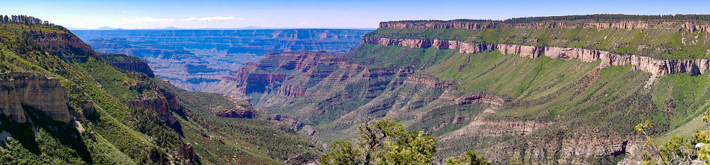
After hiking down the trail a short way you will reach the Muav Saddle. This is the location of an abandoned patrol cabin.
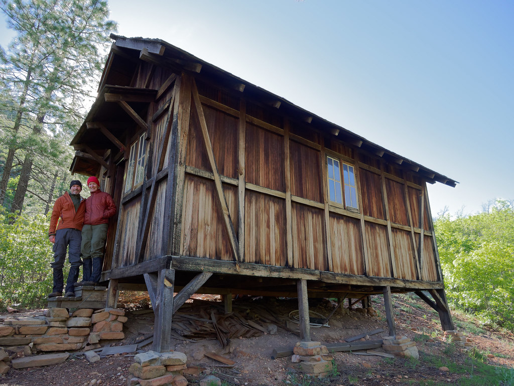
From the Muav Saddle the trail makes its long descent down the canyon. It initially travels down White Creek bypassing it at times. Most notable is when it makes a long traverse across the Redwall while the creek continues its descent well below. The trail will rejoin White Creek at the bottom of the steep Redwall Descent.
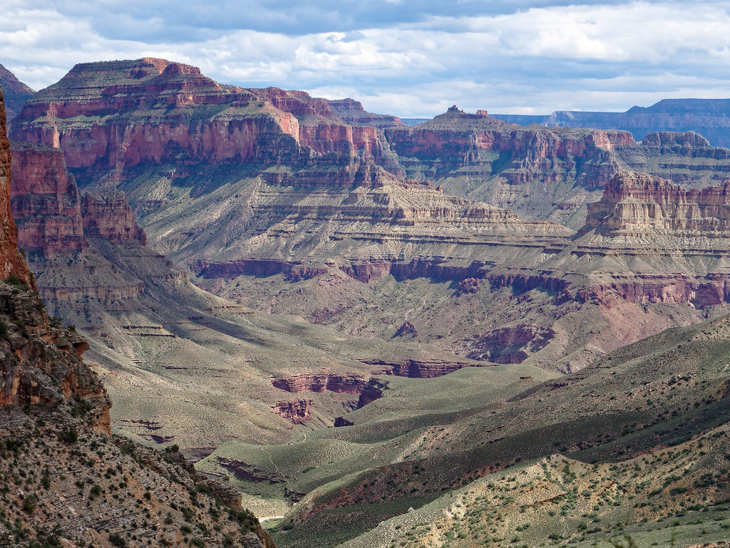
Along the way you will encounter Tapeats Gorge. While the official North Bass Trail does not go this way it is possible to reach Shinumo Creek by hiking through it. Or you can do what we did and take some time to explore it as a side trip on our way back up.
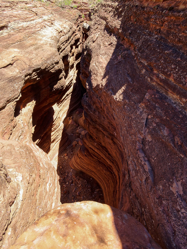
Rather than continuing down Tapeats Gorge we chose to take the official route, the Tonto Bypass. And you should know by now how much I love hiking across the broad expanse of the Tonto Platform!
After descending back into the canyon, the North Bass reaches Shinumo Creek.
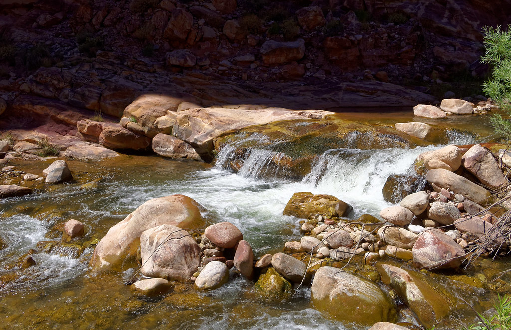
By following the creek downstream and crossing a sizable bypass you will arrive at the trail's end and the Colorado River.
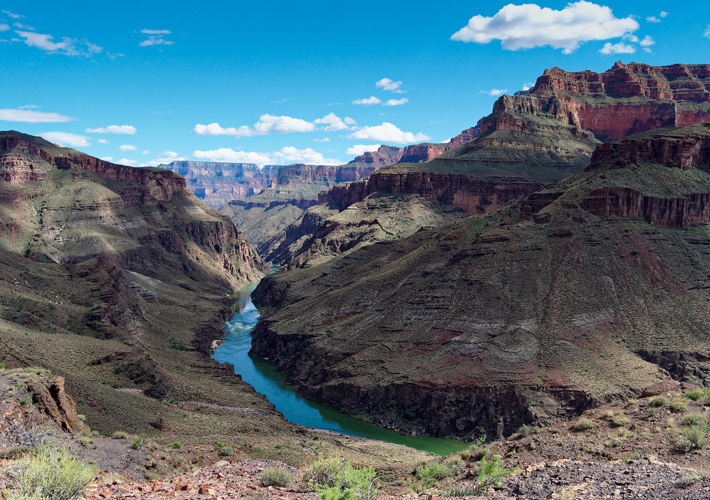
As we made our way back up North Bass, we made a quick side trip into Tapeats Gorge. Its most notable features, the Chockstone…
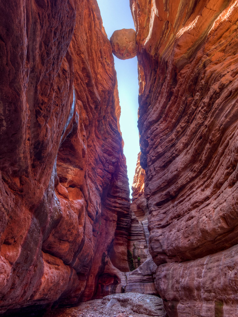
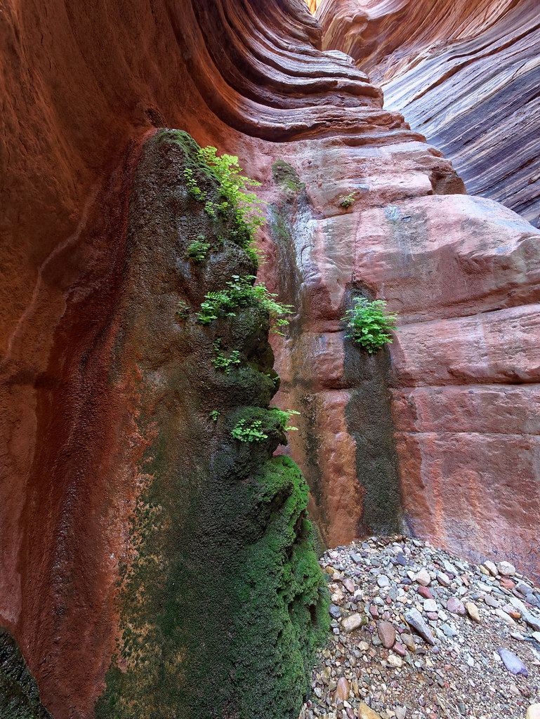
… and the Grotto, are located just a short distance from the entrance of the gorge.
Western Canyon
Back on the rim and traveling farther west the next trail encountered is the Bill Hall Trail. This is one of two trails commonly used to access the popular Thunder River/Deer Creek Loop. The other is the Thunder River Trail that originates at Indian Hollow. If you start at Monument Point on the Bill Hall Trail, you will be treated to views that include Bridger's Knoll. This trail is 2.5 miles shorter than the Thunder River Trail, but it is also steeper and includes a 15-foot downclimb.
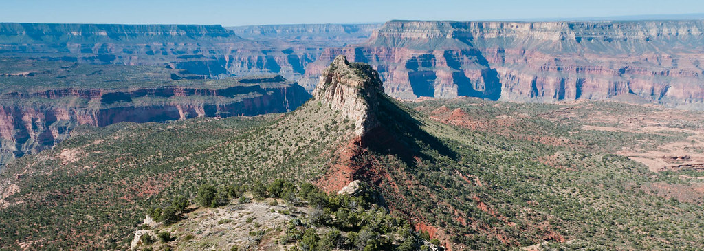
If you begin at Indian Hollow on the Thunder River Trail your first views are expansive.
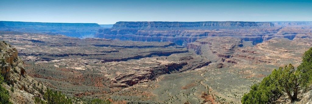
While this trail is longer and the overall grade is much more gradual, it is still steep at the switchbacks in between long traverses.
Both trails drop you down to the expanse of the Esplanade. This is another broad shelf that resides between the rim and the river. I love it even more than the Tonto platform.
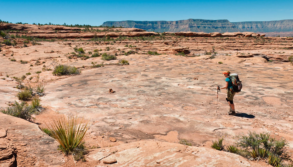
The Thunder River Trail then drops steeply toward the expansive Surprise Valley.
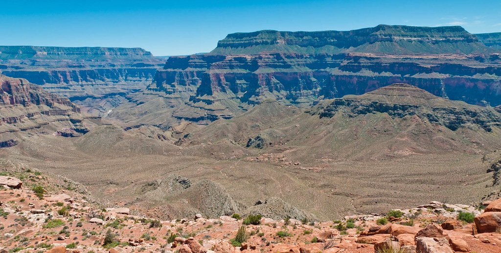
Once in Surprise Valley the Thunder River Trail intersects the Deer Creek Trail. Which direction you go depends only on personal preference. We did it clockwise and headed toward Thunder River. Backpackers are treated to views of Thunder River as it shoots dramatically out of the tall vertical face.
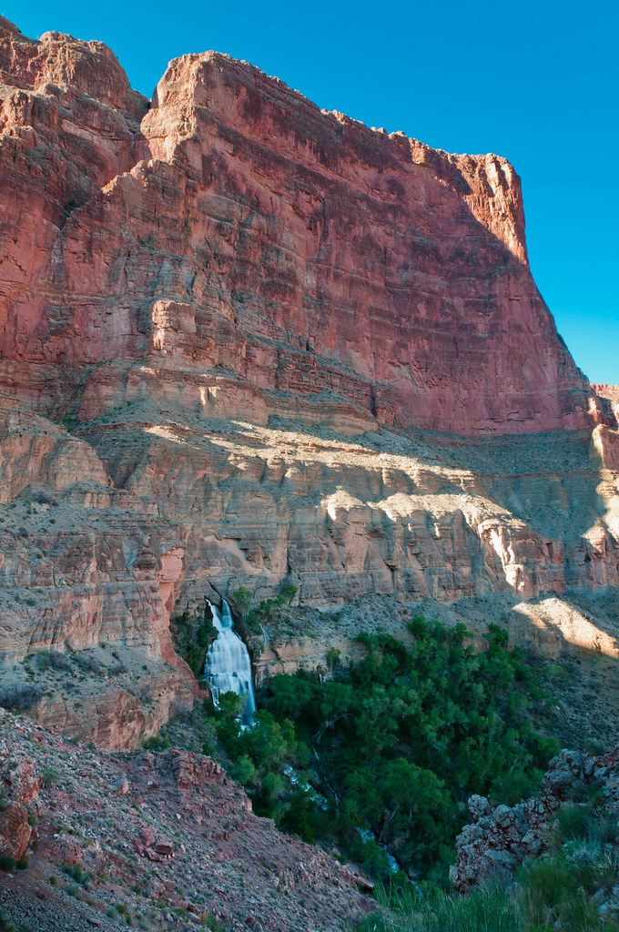
Only half a mile long, it is one of the shortest rivers in the US.
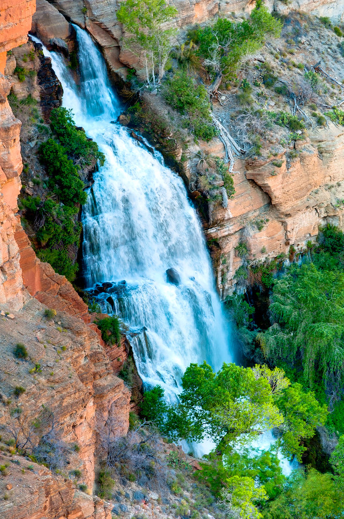
It soon flows into Tapeats Creek. It somehow doesn’t seem right that such a magnificent, albeit short, river should flow into a mere creek. But Tapeats Creek is no ordinary creek and perhaps it should be elevated to river status. Personally, I think it is worthy. The trail crosses Tapeats Creek to the other side for easy walking before crossing back. However, unless the level of the creek is quite low it may be better to take the informal trail that stays west of the creek. It is important to remember that hikers have died crossing this creek.
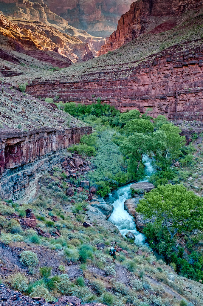
We were unable to cross the creek due to high water. By following Tapeats Creek downstream you will reach the Colorado River. From here you can take an informal route down the river …
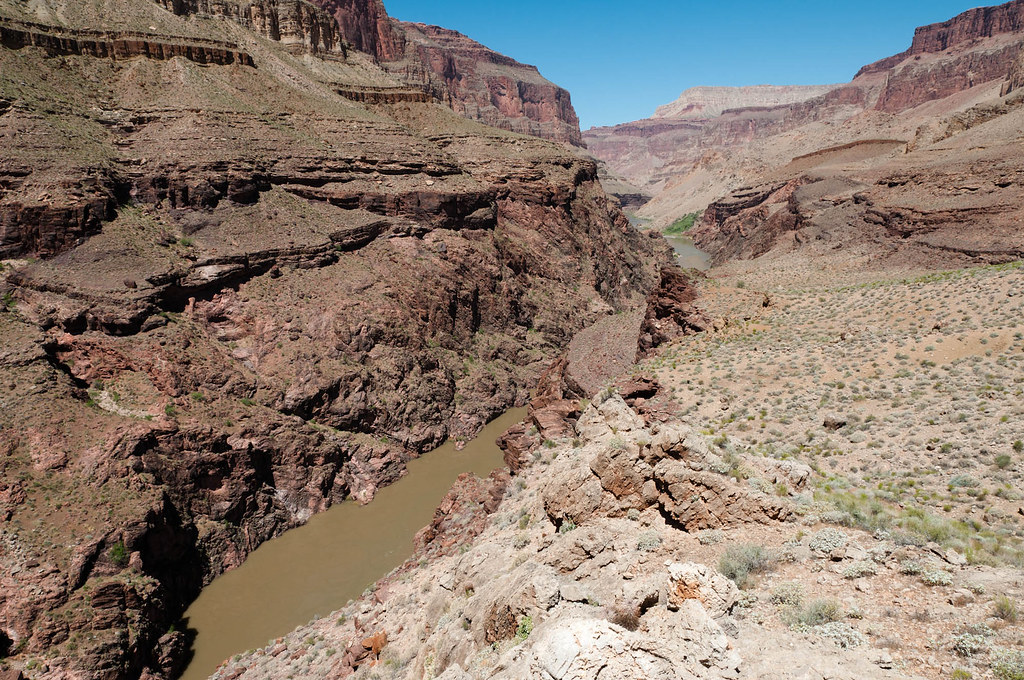
… to Deer Creek Canyon.
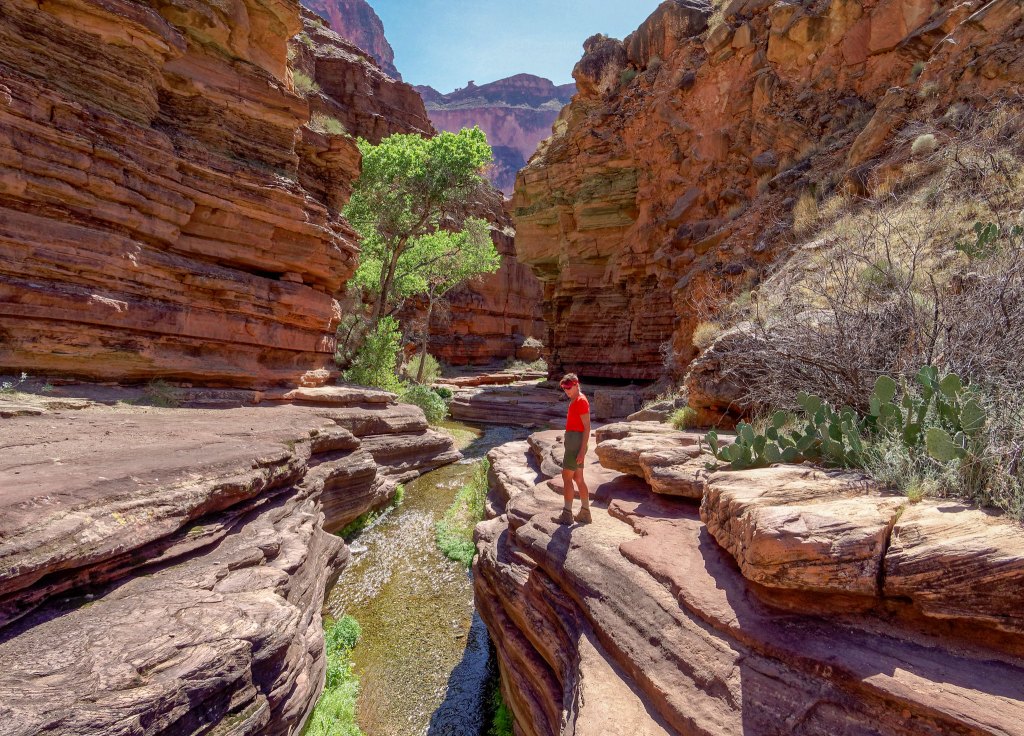
Deer Creek is an incredibly beautiful narrow canyon of intricately sculpted rock.
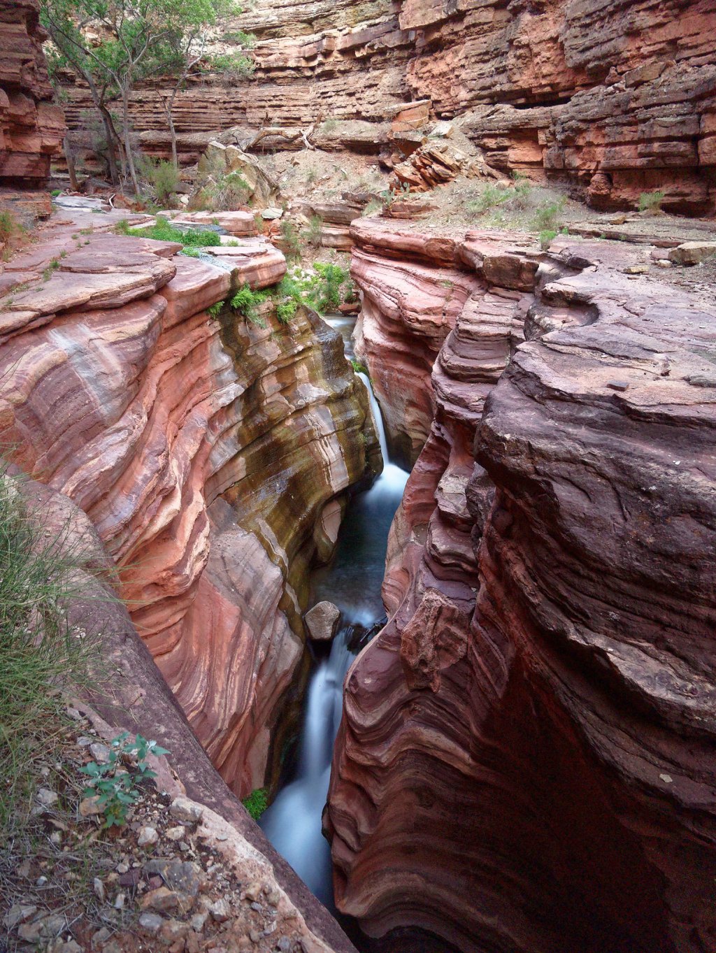
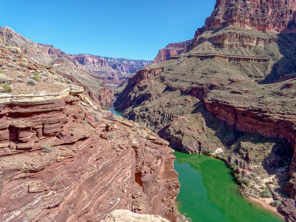
By continuing down through Deer Creek Canyon, the Colorado River will soon come into view.
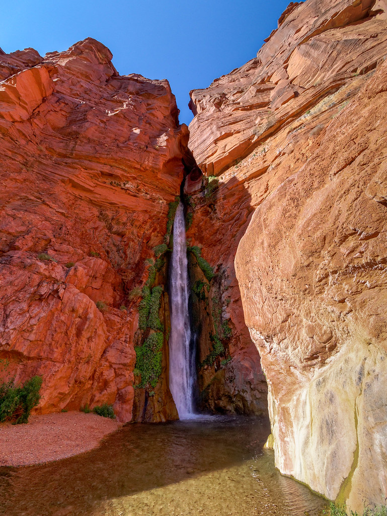
By taking the route down toward the river you can get to the base of Deer Creek Falls.
From Deer Creek Canyon, the Deer Creek Trail follows the creek upstream and crosses before it makes its steep ascent to Surprise Valley where it intersects with the Thunder River Trail where you will continue your ascent. You will once again cross the broad expanse of the Esplanade before returning to the rim by either the Bill Hall Trail or the Thunder River Trail to Indian Hollow.
By continuing west, the next named trail one encounters in Grand Canyon National Park is the Tuckup Route at the trailhead for 150-Mile Canyon. The Park Service describes access to this remote area as something other than a trail or even a route in the usual sense. It is more of a concept. It is a great opportunity for reasonably experienced canyon backpackers to take off the training wheels and gain experience in canyon navigation.
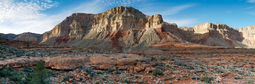
The actual distance for the entire Tuckup Route and Tuckup Trail is largely unknown as it depends on one's route, but it is thought to be about 60 miles from 150-Mile Canyon to Toroweap.
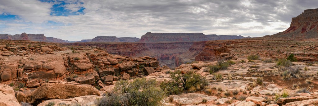
Challenges include navigational issues getting around or across the numerous side canyons that backpackers encounter. One must quickly learn to read the canyon. A huge challenge is the lack of reliable water. One must time their trip with the weather as recent precipitation is necessary to replenish the life-giving potholes. The route ends at the Schmutz Spring trailhead.

We spent six days backpacking the Tuckup Route and did not encounter a single other person. Solitude like this during peak season is unheard of on most of the trails and routes in the national park. It has become our favorite trip in the entire Grand Canyon.
The last trail in this tour is the Tuckup Trail, the continuation of the Tuckup Route.

It offers the same expansive views …
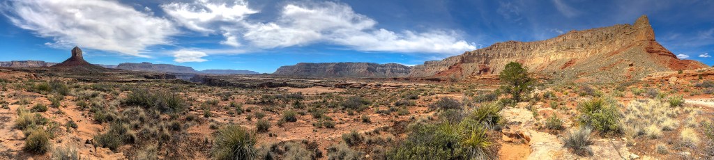
… that don’t stop …
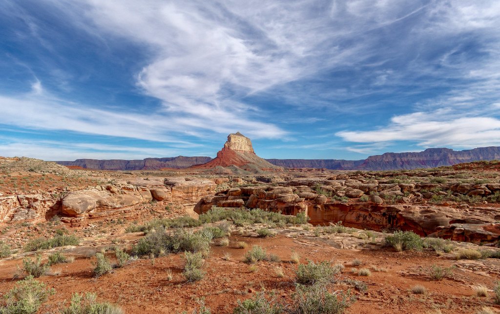
… for the entirety of your journey.
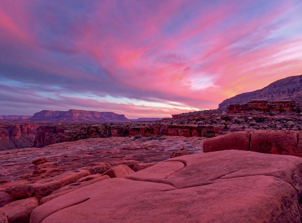
That concludes this photo tour. It is just a small taste of the wonders the canyon contains. It took me over 20 years from the first time I saw Grand Canyon to fall in love with it. Since that first backpack trip down the Tanner Trail, I have never once questioned whether being in the canyon was worth the effort it took to get there, not to mention back out again. I am so grateful to have had the opportunities and the physical ability to allow my feelings to grow. The canyon is a very important part of our backcountry life. And it will remain so while we continue to hoist packs on our backs and keep putting one foot in front of the other.


Leave a Reply