In February 2018, we spent four days and three nights hiking through Havasu Canyon. We went to see the famed blue waters and waterfalls of Havasu Creek. We also followed the creek all the way to its confluence with the Colorado Rived. John was 65 and I was 63.
This was our first visit to Havasu Falls but we knew enough about what the area had become to know not to expect a “backcountry experience.” However, it is an iconic location that every backpacker should probably visit at least once. The ten-mile hike to the campground begins at Hualapai Hilltop and expansive views of the canyon begin immediately.
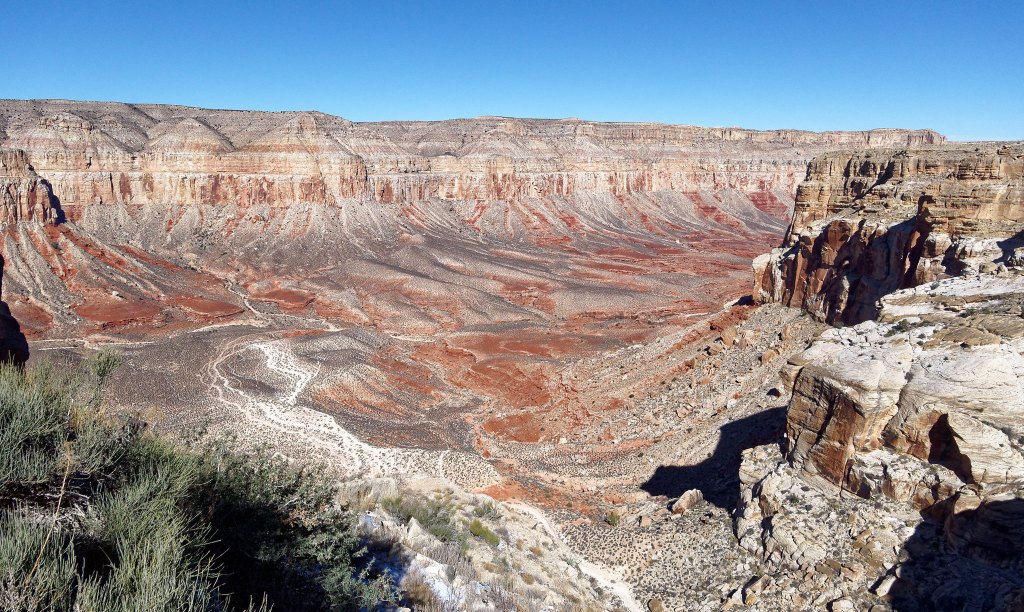
The hike down into Havasu Canyon was pleasant. It was late February and the weather was clear and the temperature crisp. The trail traverses a bit …
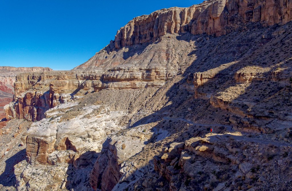
… before a series of switchbacks take you deeper into the canyon.
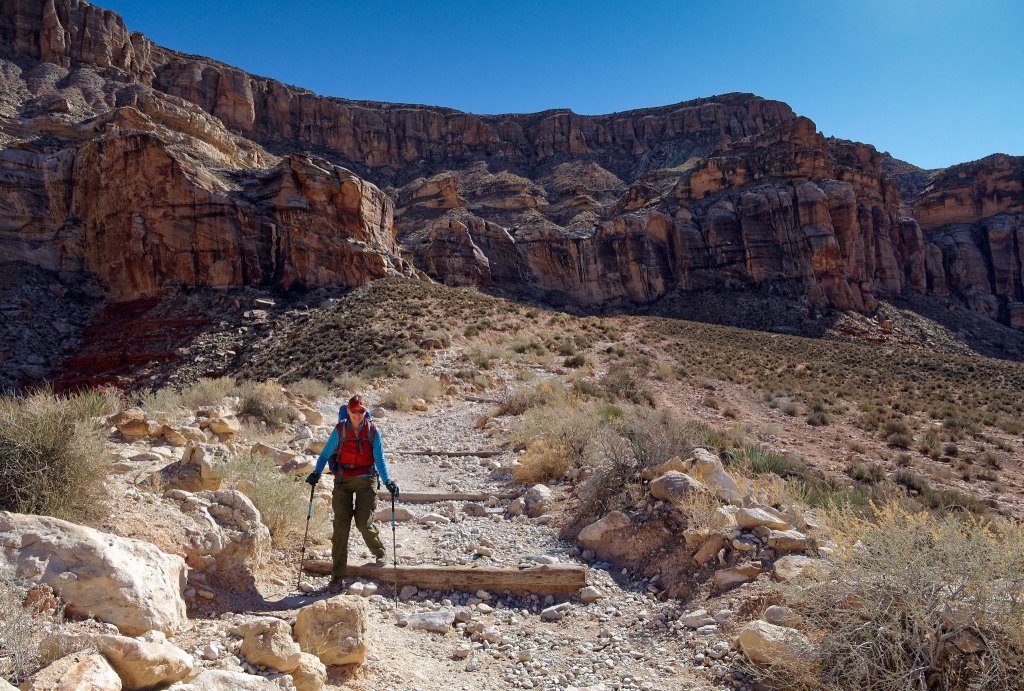
It is then a gradual descent …
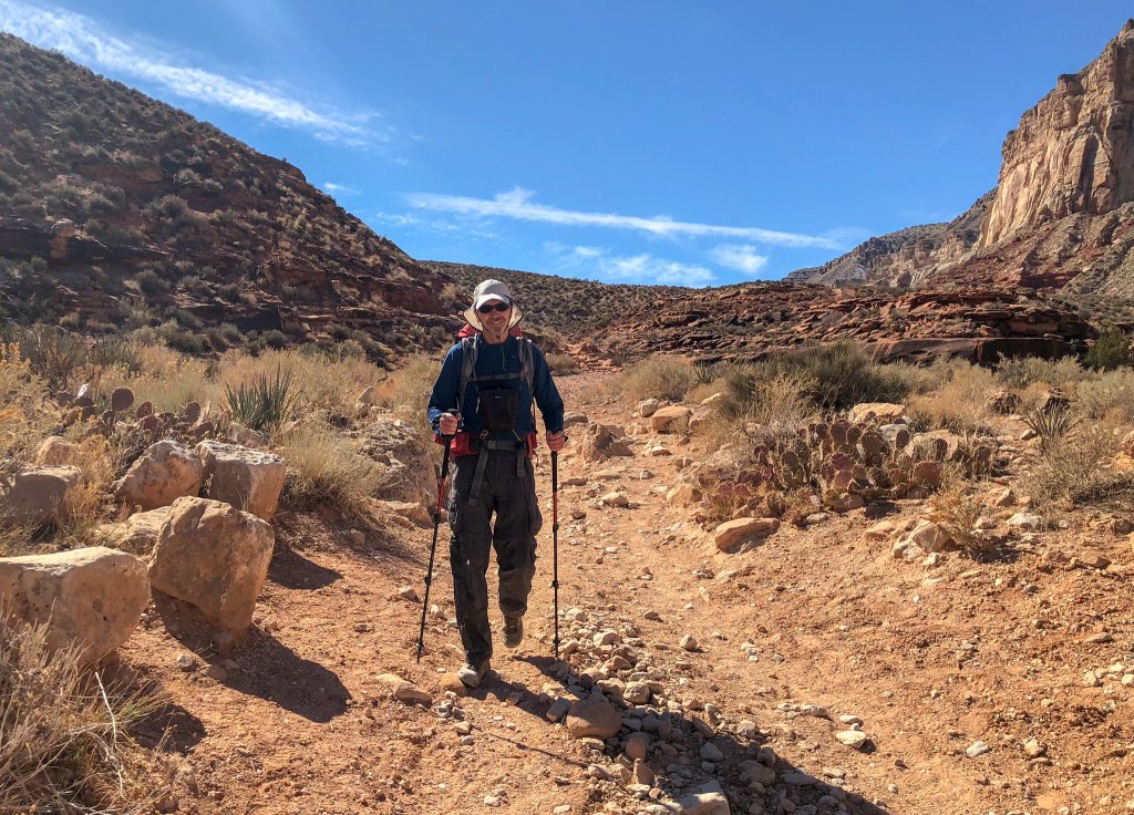
… with the canyon walls seeming to rise above you.
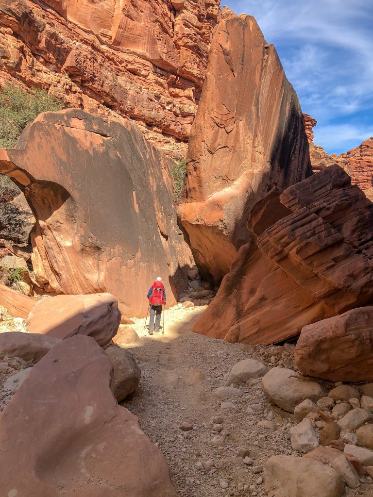
After eight miles, we reached Supai. As we approached it, we were conscious that we were visitors entering the homeland of the Havasupai people. The village felt culturally distinct from the places we usually visited, and we heard visitors speaking many different languages.
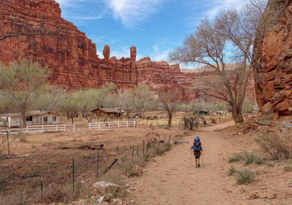
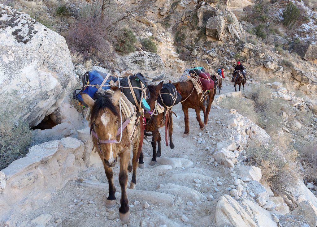
As experienced backpackers, we were comfortable carrying our own packs into and out of the canyon. Other visitors chose to use horses or helicopters.
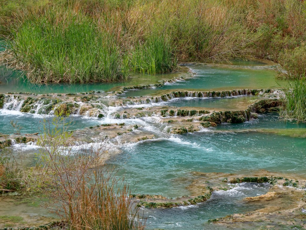
After leaving Supai, it is another two miles to the campground. Havasu Creek comes into view providing visitors with a tiny glimpse of what is yet to come.
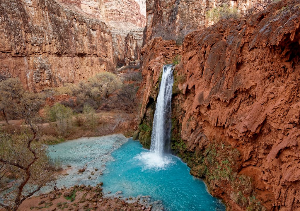
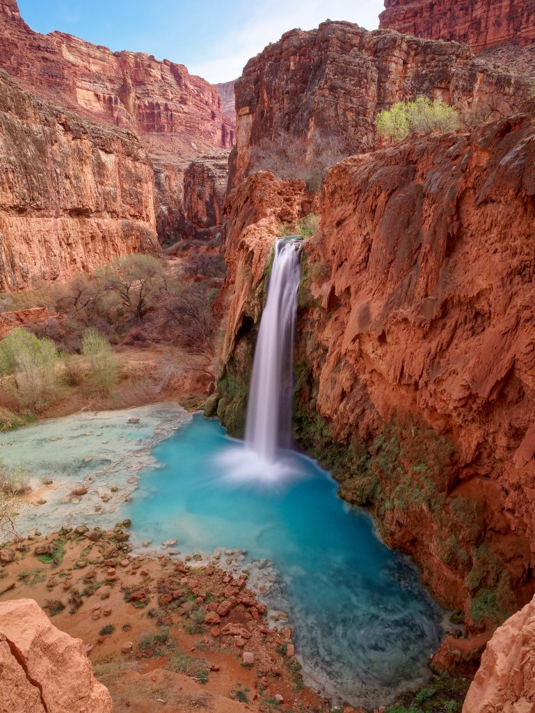
Shortly before the campground, the trail makes another descent, and we got our first view of Havasu Falls. During the summer months I imagine the area below would be full of people and float toys but in late February we had an unobstructed view of the falls and the beautiful turquoise pool below it.
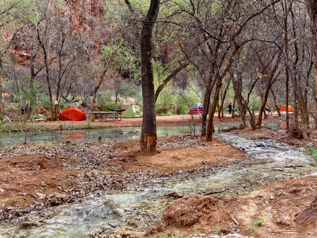
The campground is about one mile in length and is adjacent to Havasu Creek with countless established sites on both sides of the creek as well as on islands in the creek. There were quite a few people there and it had the party atmosphere of a popular state park on a busy holiday weekend. Not our “cup of tea”. Fortunately, the tribe does not allow campfires or alcohol (although unfortunately some visitors do violate that second rule). Once we arrived at the campground, we looked for a site farther away from the multitude of campers clustered along the creek in hopes of finding some semblance of privacy and we were for the most part successful. Fortunately, the sound of the creek helped to mask the sounds of loud voices and equally loud music.
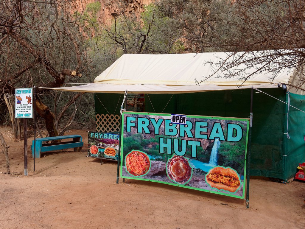
The campground comes complete with a restaurant and the “Fry Bread Hut” apparently did a big business.
While I set up camp John went back to photograph Havasu Falls.
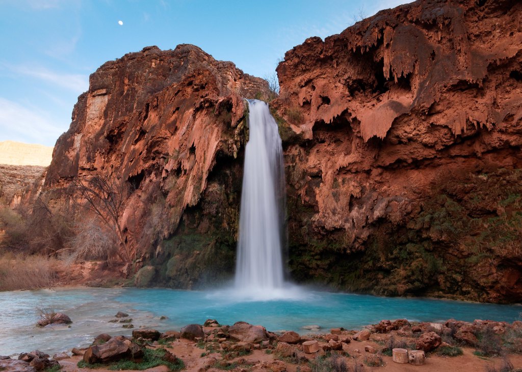
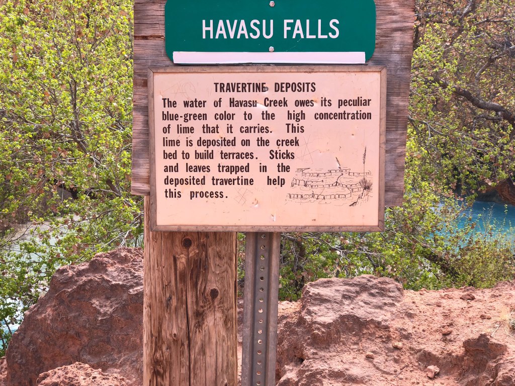
The color of the water comes from a high concentration of lime.
As the date for this trip approached, we watched the weather closely. Unfortunately, there was the possibility of rain, even snow, in the forecast which is always a concern when hiking within a narrow canyon. We hoped to be able to hike to the confluence of Havasu Creek and the Colorado River, a 17-mile round-trip hike. Fortunately, the weather seemed to be holding so the following day we hiked down canyon as far as Beaver Falls, about eight miles round trip. We believed that would give us some idea if hiking all the way to the river would be feasible given how short the days were in late February. From the campground, the trail heading down canyon first takes you to …
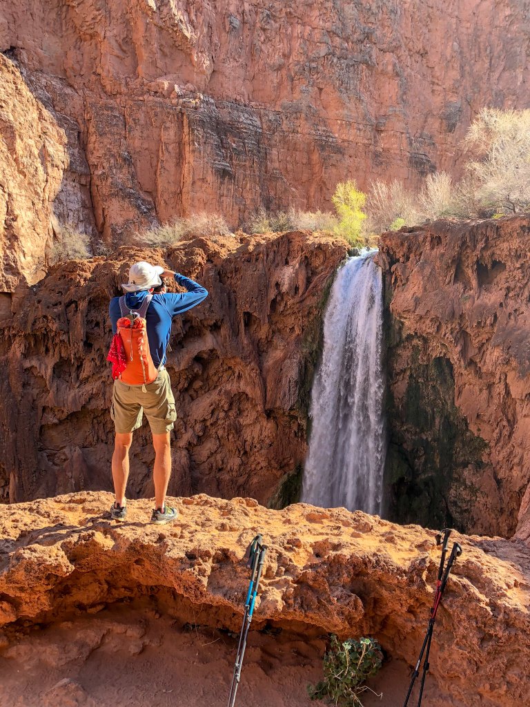
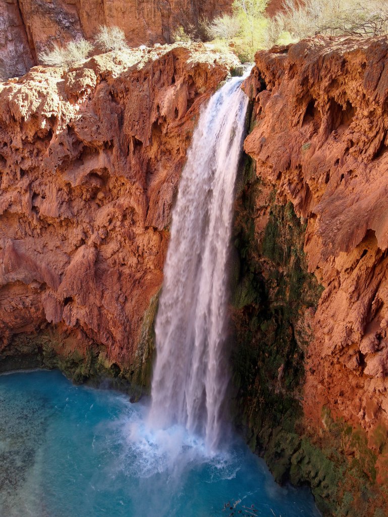
… a great view of Mooney Falls.
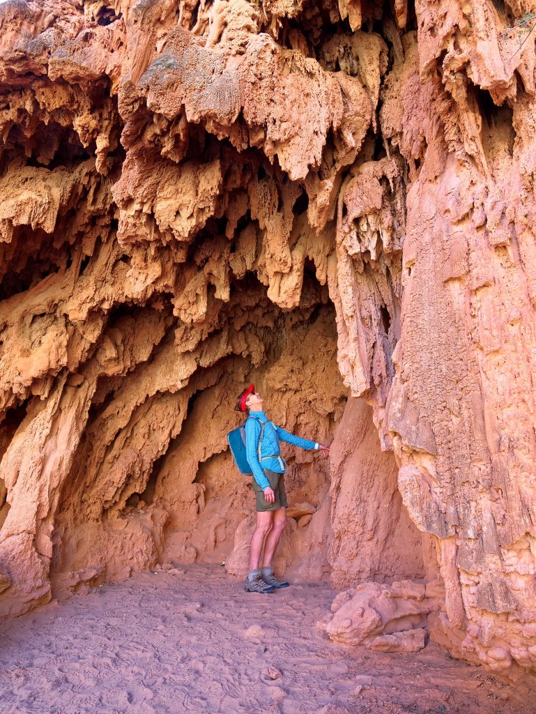
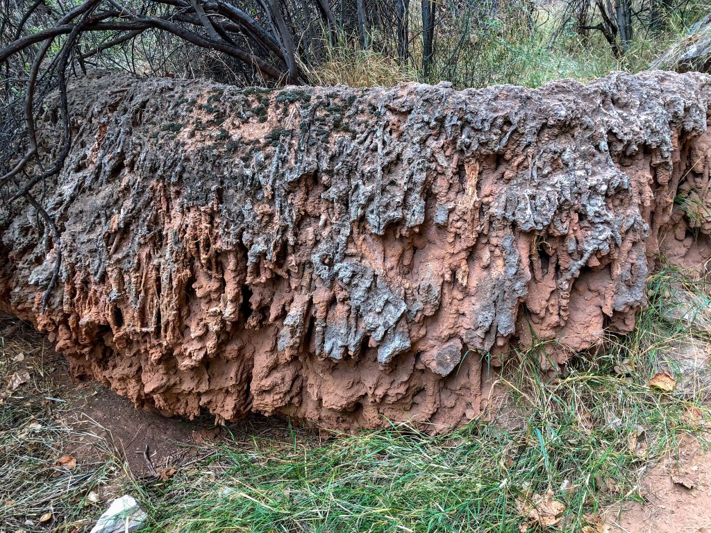
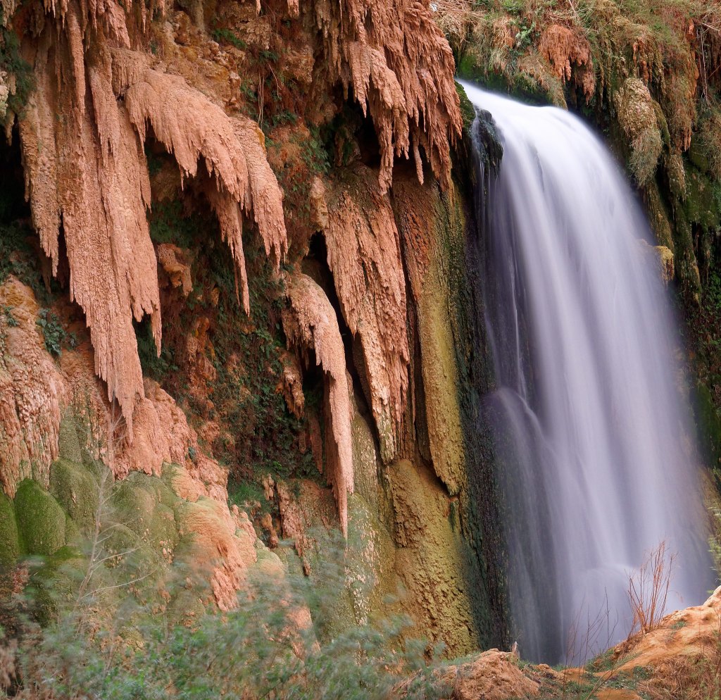
An unexpected treat was the “travertine” formations in the areas around the waterfalls. Apparently, in times of floods in the past when the water was muddy, clay particles were deposited along with the lime leaving countless weirdly attractive sculptures behind.
The steep climb down to the base of Mooney Falls begins with a tunnel …
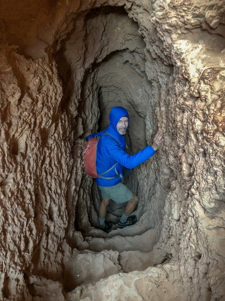
… that opens onto a “balcony” …
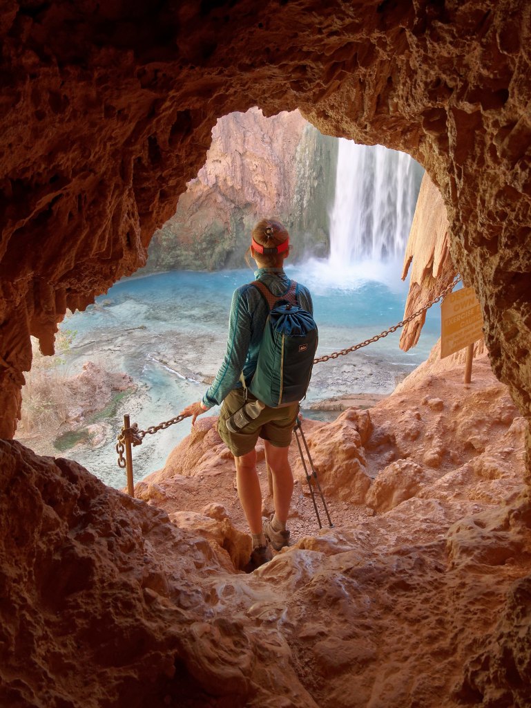
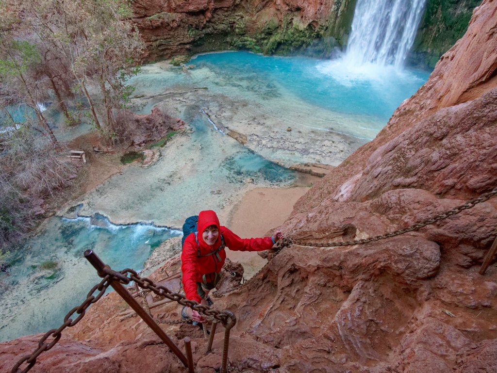
… before descending some “stairs” …
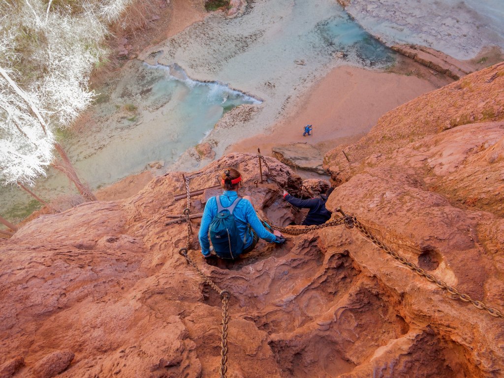
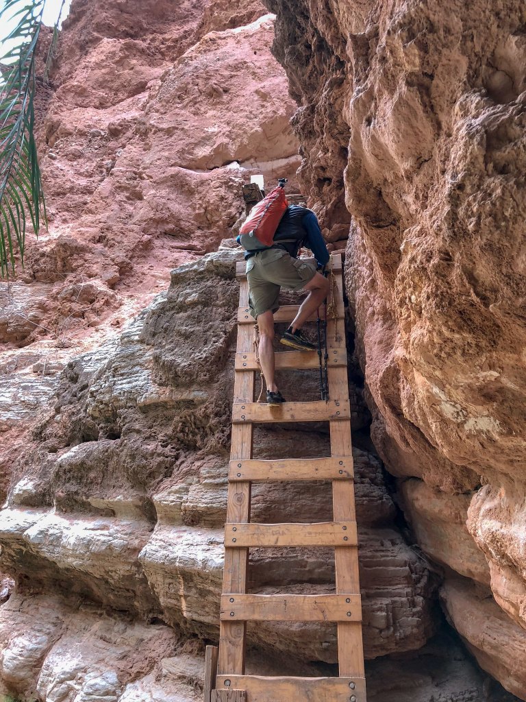
… and then a series of ladders. This route is not for the faint of heart. The entire area is wet from mist and slippery with mud from countless feet. I have read during the popular summer months it becomes quite congested and at times some less experienced visitors “freeze” from fear on the ladders, but we experienced no delays.
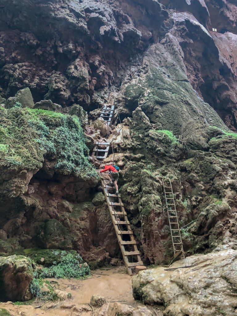
We did not spend any time at Mooney Falls then as we wanted to head down canyon to Beaver Falls first.
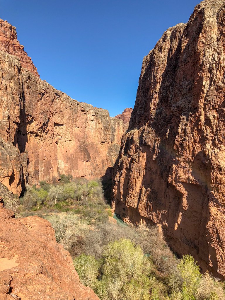
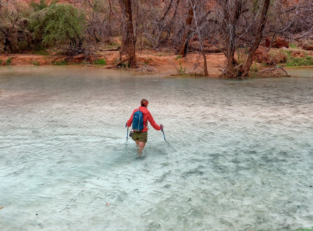
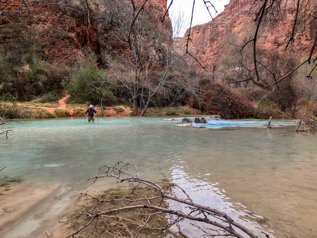
The route down canyon is clear and well-marked with cairns. However, it does require hikers to cross Havasu Creek multiple times. We came prepared with suitable shoes that we were willing to get wet. We observed others dutifully replacing their hiking boots with water shoes or sandals at every crossing, but we found it far more convenient (and far less time-consuming) to just wear wet shoes for the entire hike. Surprisingly, the water did not feel especially cold.
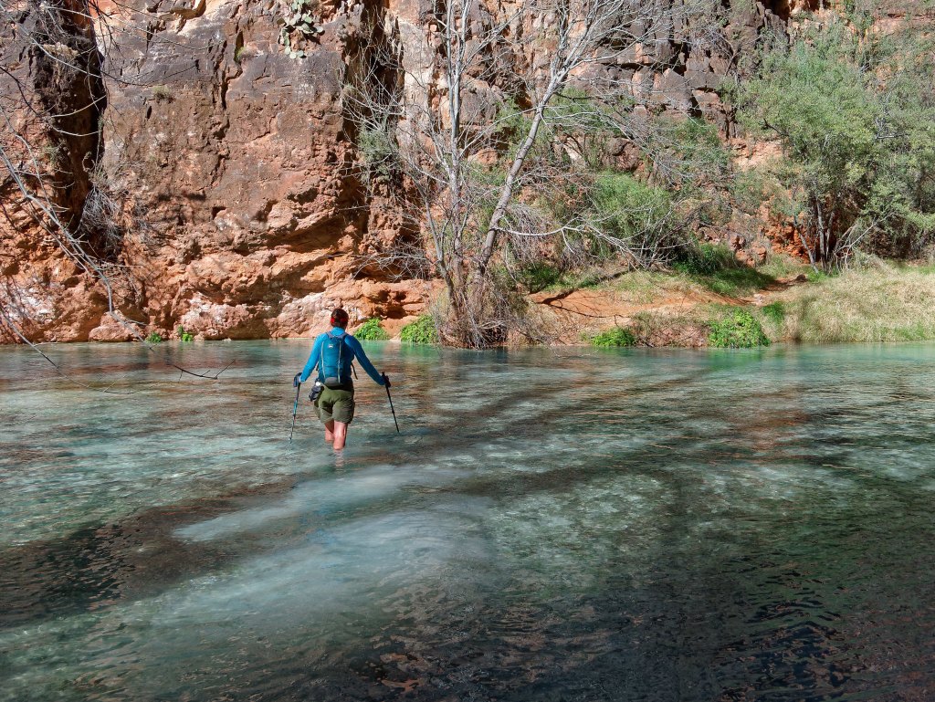
We continued down canyon …
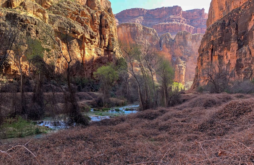
… crossing the creek …
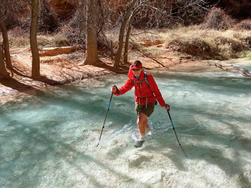
… multiple times.
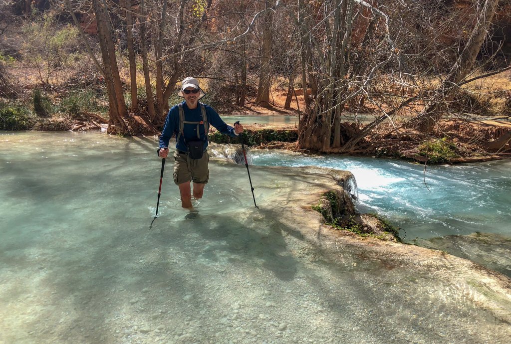
We were uncertain how deep the water might get but it never reached higher than mid-thigh.
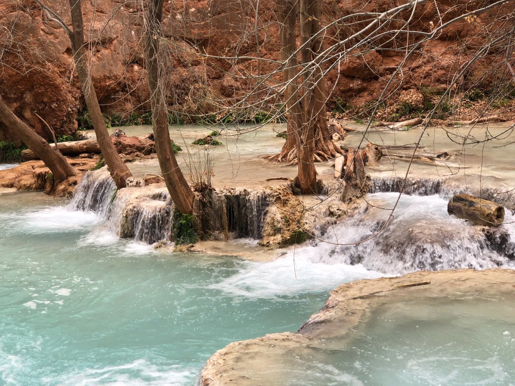
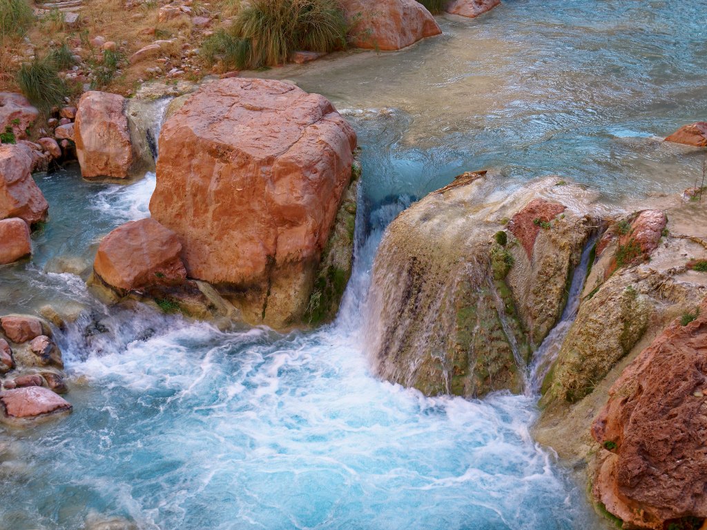
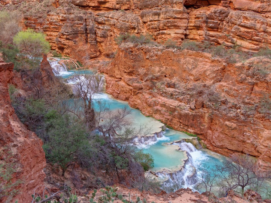
Write-ups about the area that I had read previously seemed so focused on the major waterfalls. However, the Travertine limestone in the water causes cascading waterfalls to be formed all along the course of Havasu Creek. Many appear to have started with a branch (or tree) getting caught and leaves and other debris building up behind it. Then, over time, particles of limestone are deposited on the branches, leaves and debris creating intricately sculpted “shelves”. The effect is fanciful and quite lovely.
We also saw bizarre looking deposits left behind within the canyon after past flooding.
We continued to follow the creek down canyon …
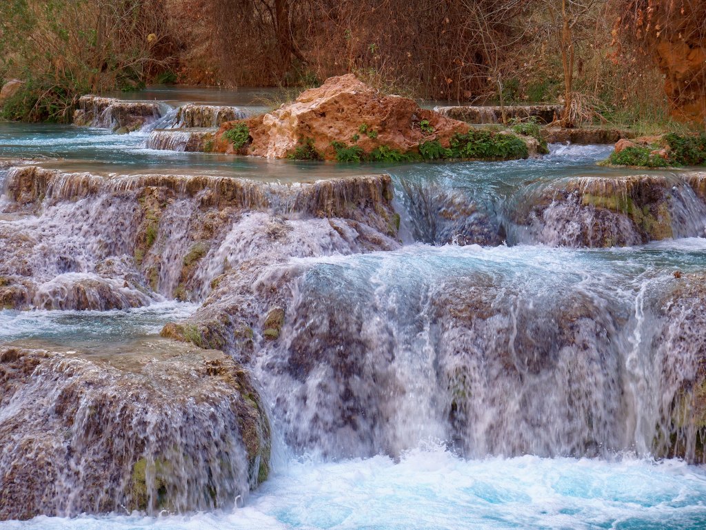
… and went through the “Palm Tree Tunnel”.
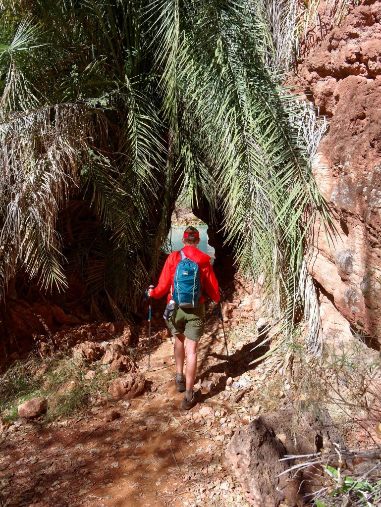
Sometimes the route takes you up ladders …
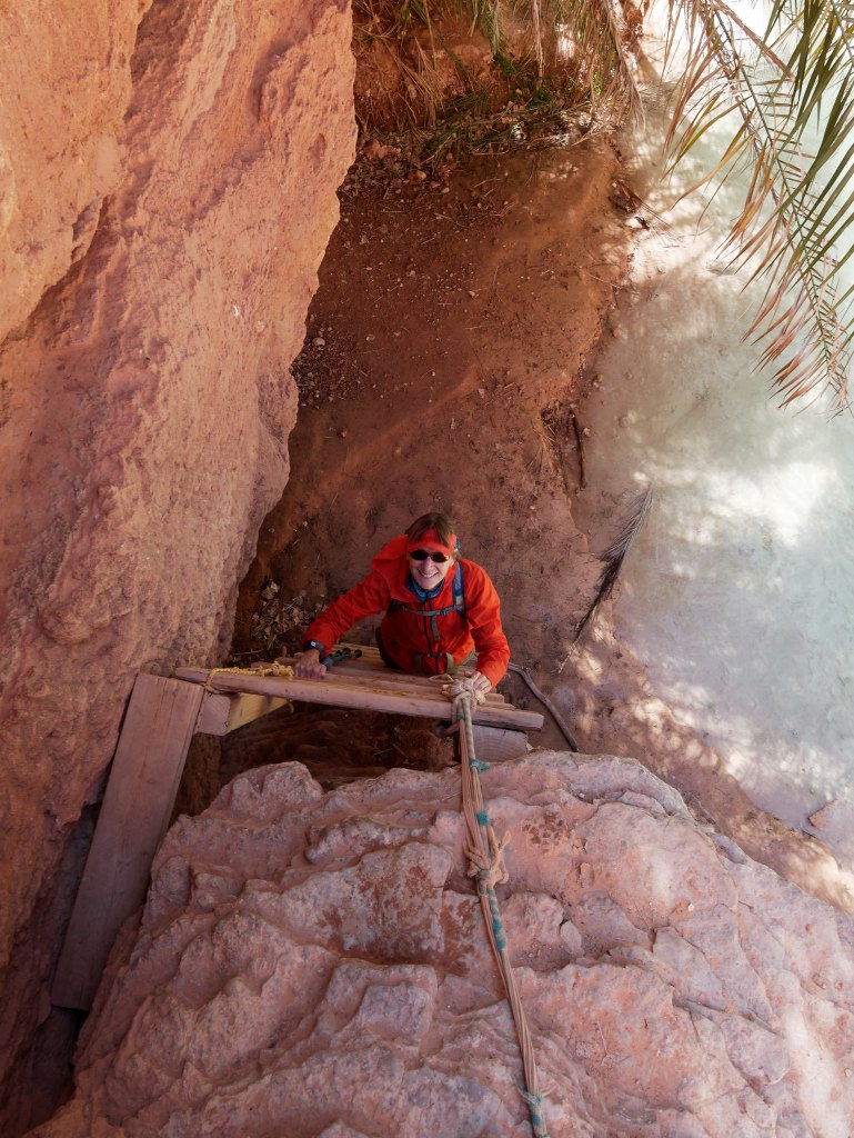
… and above the creek.
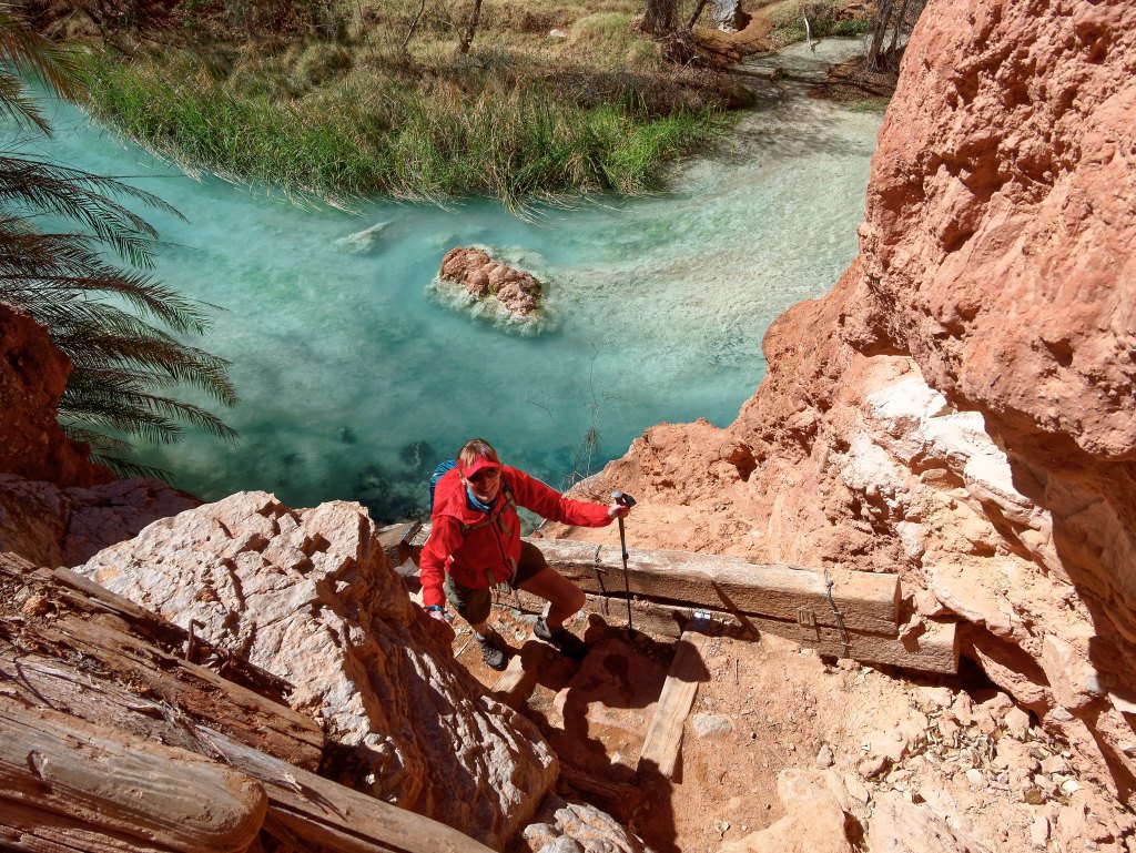
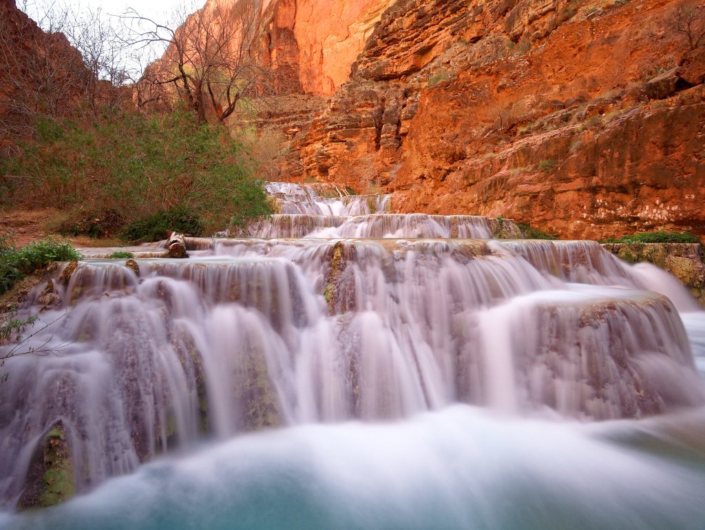
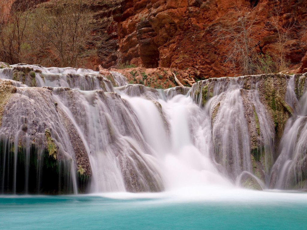
It is about four miles from Mooney Falls to Beaver Falls and it is well worth the effort as it is a beautiful and complex series of cascading waterfalls.
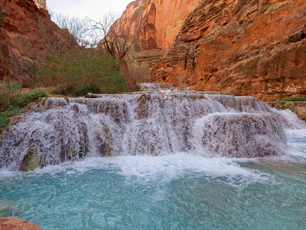
John got out his tripod and took countless photos.
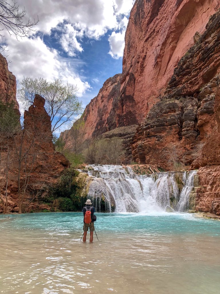
Long exposures work so well with flowing water.
Undoubtedly during the summer, the area becomes a “water park” filled with people frolicking in the water and getting into each other’s photos but there were just a few individuals in the water when we were there. A few hardy souls only wore swimsuits and trunks, but one well-prepared couple brought wetsuits.
We then headed back up canyon …
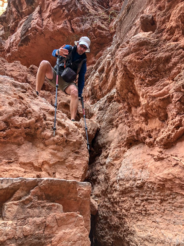
… retracing our steps down ladders …
… and crossing the creek …
… back to Mooney Falls.
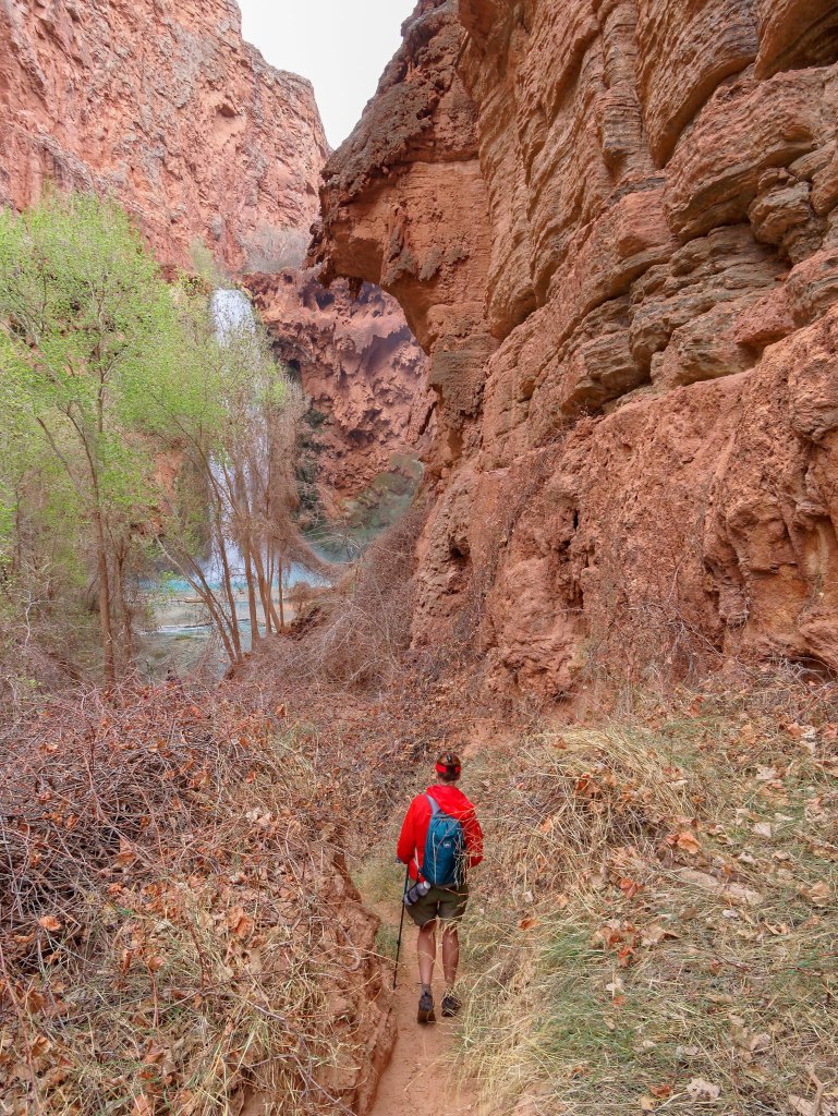
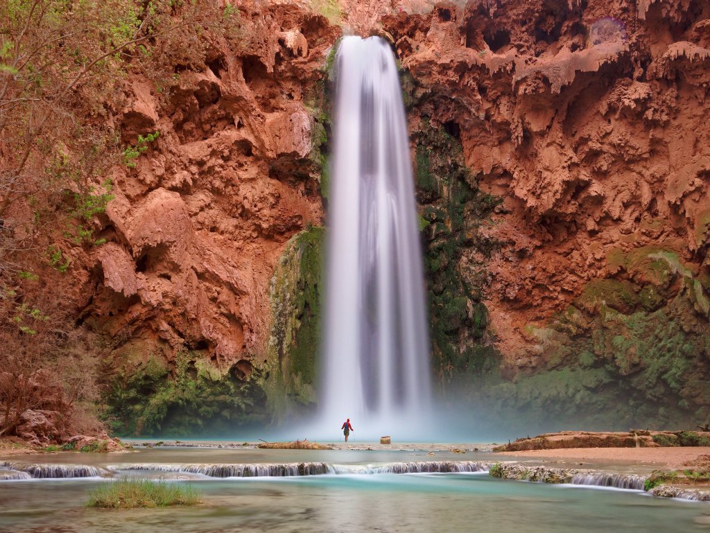
It was late in the day, and, with the exception of one other photographer, we had this popular spot to ourselves.
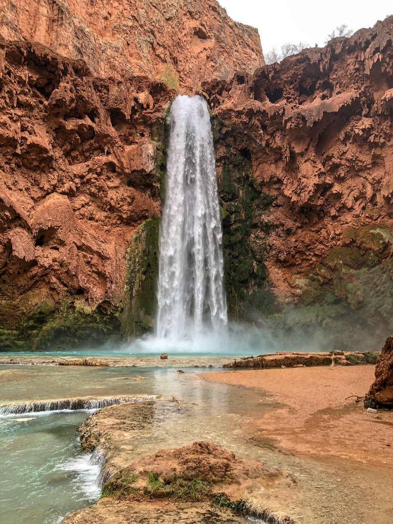
John again got out his tripod …
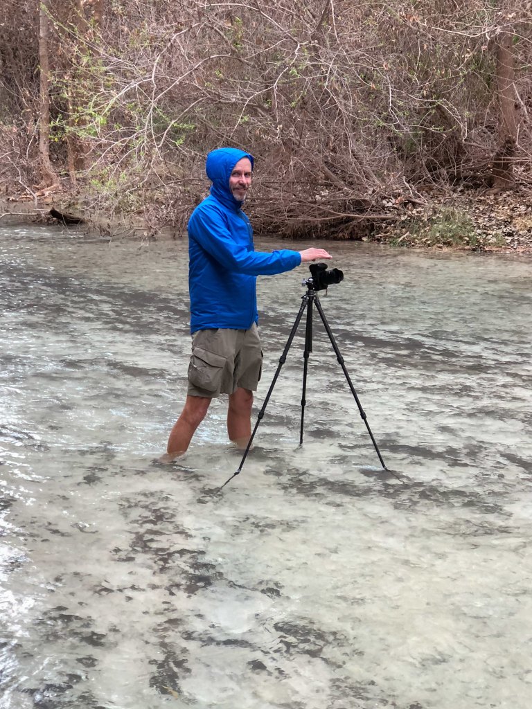
… and took long exposures and captured images you just can’t get with a smartphone camera.
We then headed back up the slippery ladder and back to camp.
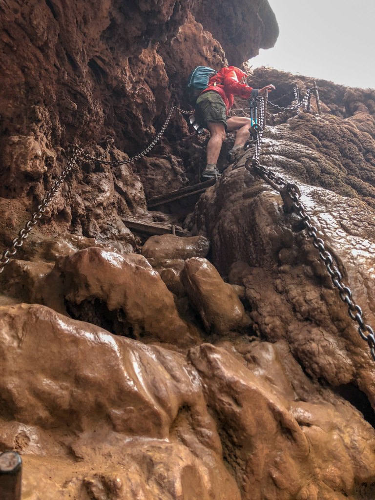
We got an early start the next morning and again headed down canyon but our destination this day was the confluence of Havasu Creek and the Colorado River. The clear weather seemed to be holding, and we hoped we had enough daylight to do it but took headlamps just in case. It was quite chilly that morning and one concern we had was that the stairs and ladders would be icy and dangerously slippery. However, not only were they not icy, but they were less slippery than they had been the evening before. Apparently, overnight the mist from the falls cleaned the mud from the ladder rungs.
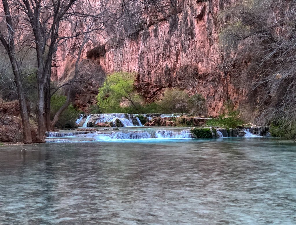
We hiked as fast as we could and only stopped briefly to take in the view of Beaver Falls.
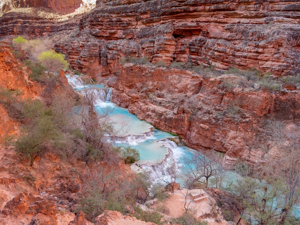
Once past Beaver Falls we were on unfamiliar ground. I had not found out much about the route to the river and if there were any navigation issues. I think very few visitors to Havasupai go as far as the river. The few accounts I had read were from the summer months when daylight was ample and they were focused more on the intense heat of the inner canyon, not the conditions we faced. We arrived at this spot just before 9:00 a.m. Sunset would be about 6:30 p.m. and we decided our turnaround time would be 1:00 p.m. Night hiking is not permitted according to Havasupai Indian Reservation rules, and we intended to obey that rule if at all possible.
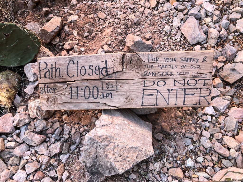
We found the less traveled route below Beaver Falls to be rougher but still easy to follow.
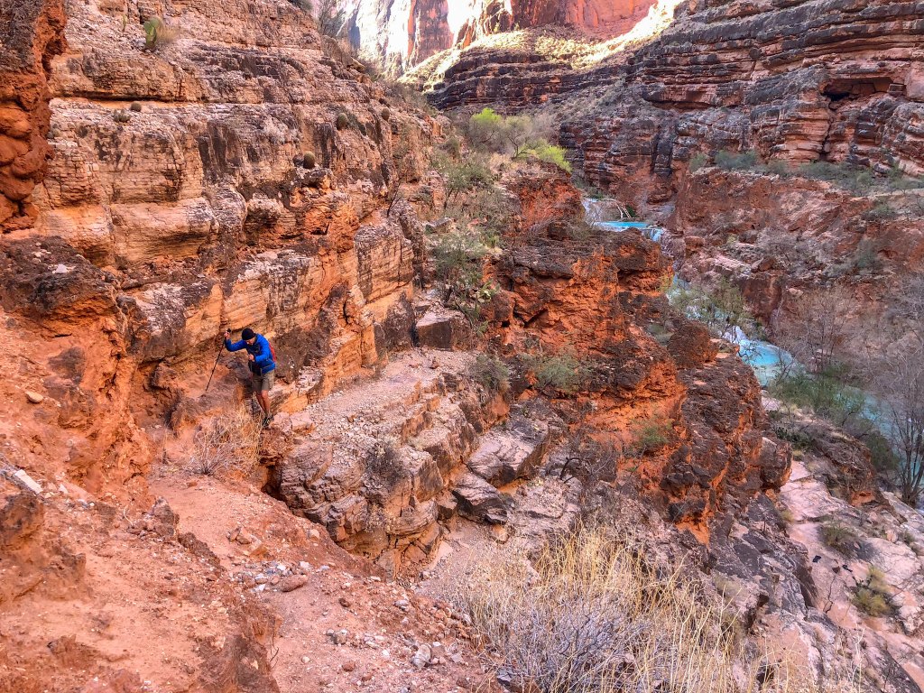
The trail farther down the canyon takes you off tribal lands and into Grand Canyon National Park.
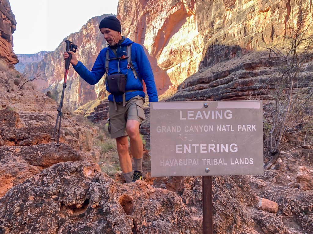
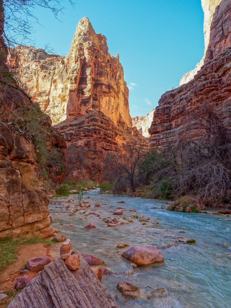
As we continued down canyon …
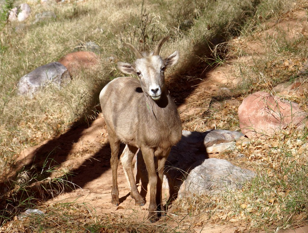
… we encountered several bighorn sheep.
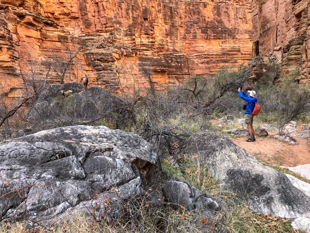
They were untroubled by our presence …
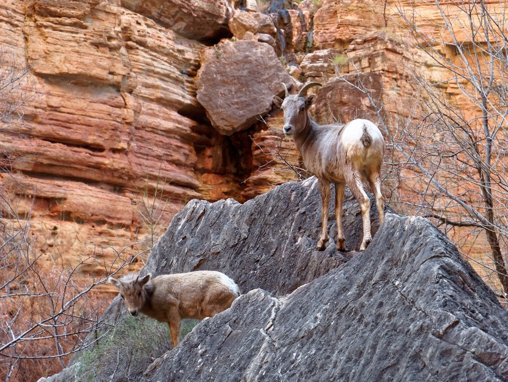
… and even appeared a bit curious.
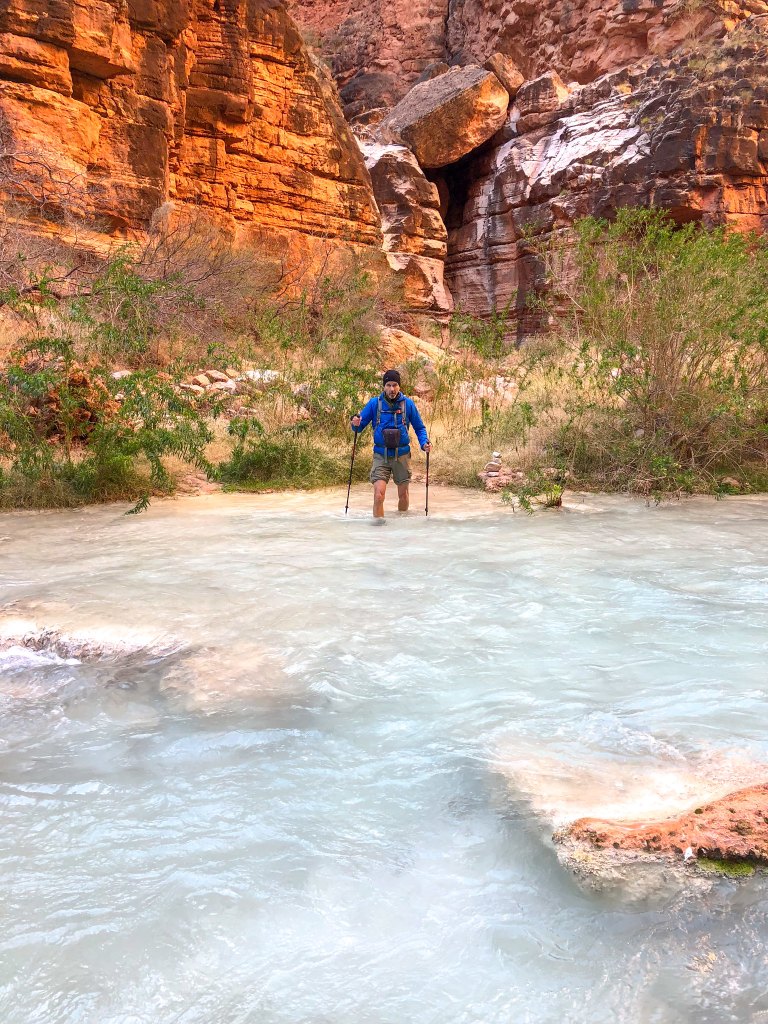
We encountered several more creek crossings …
… and fortunately, the route was well marked with cairns, so we wasted no time with route finding.
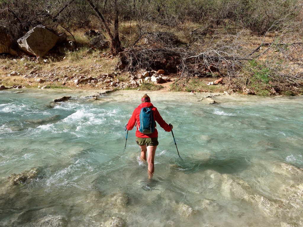
We hiked quickly but still took time to enjoy the beauty of the creek, with the pale turquoise water contrasting with the orange of the canyon walls in a lovely combination.
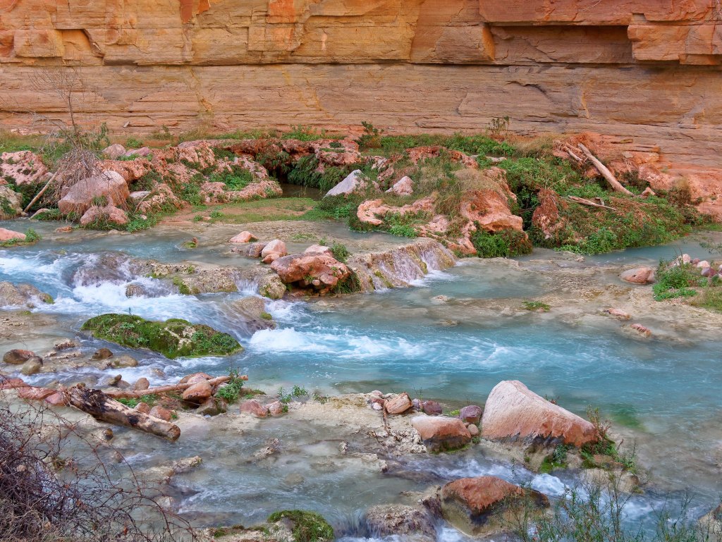
I had been concerned about the quality of the track below Beaver Falls but it was well worn and easy to follow.
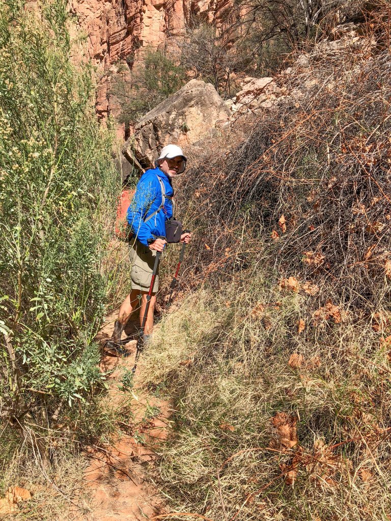
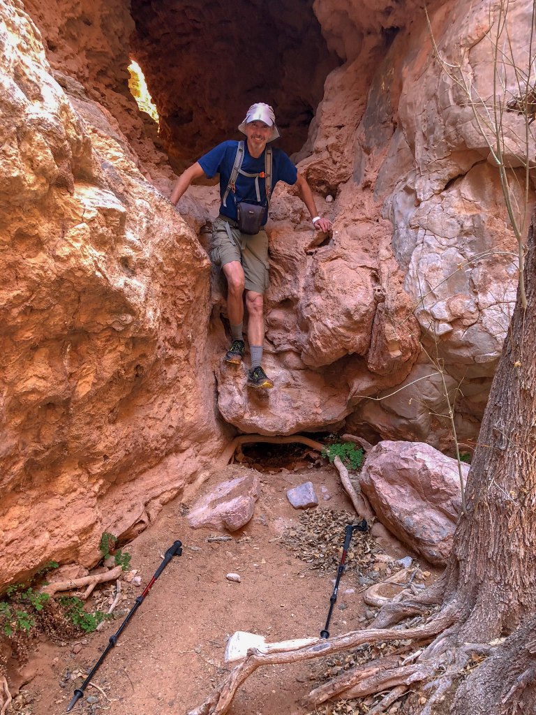
We had no trouble …
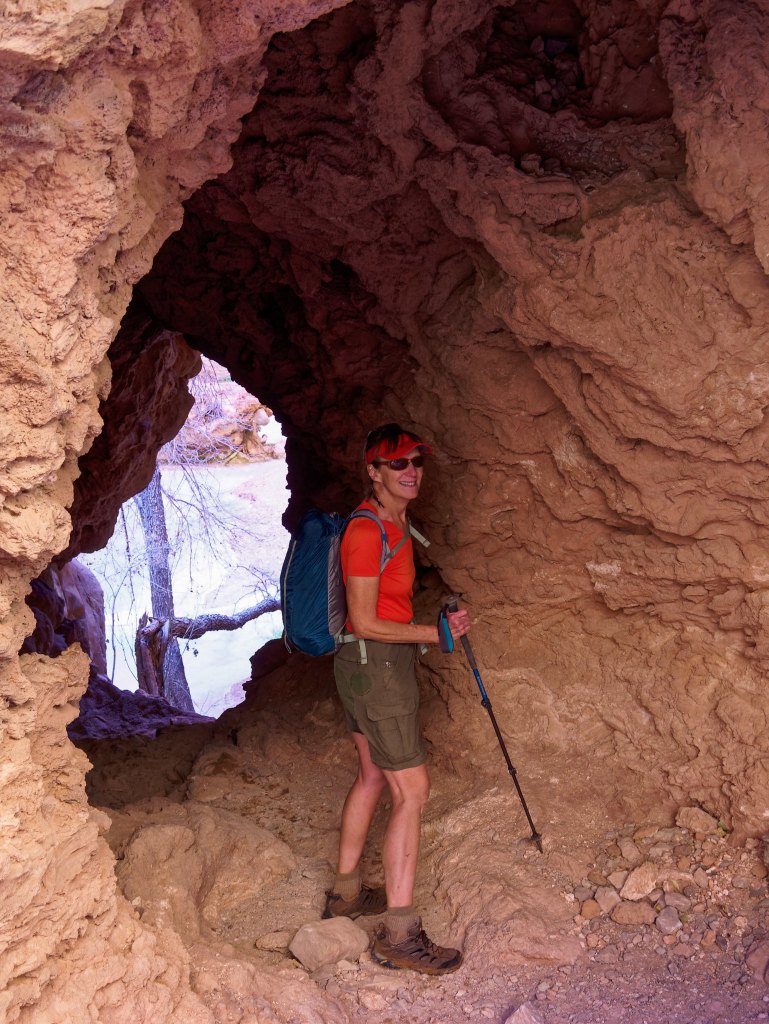
… negotiating the minor obstacles along the way.
We approached the confluence on the east side of the creek and were perplexed about where to go. However, a rafter let us know in order to get to the confluence without swimming we needed to cross to the west side of the creek.
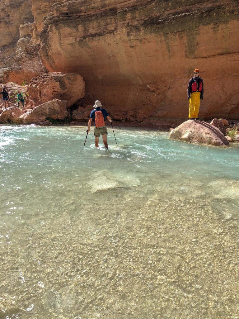
This is a popular stopping point for rafters and on our hike down we encountered several who were hiking up canyon to Beaver Falls. Apparently, some rafters even get as far as Mooney Falls.
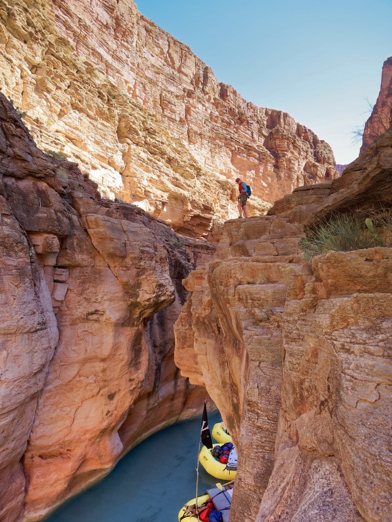
I had hoped to be able to wade through the narrow portion of the canyon near the confluence …
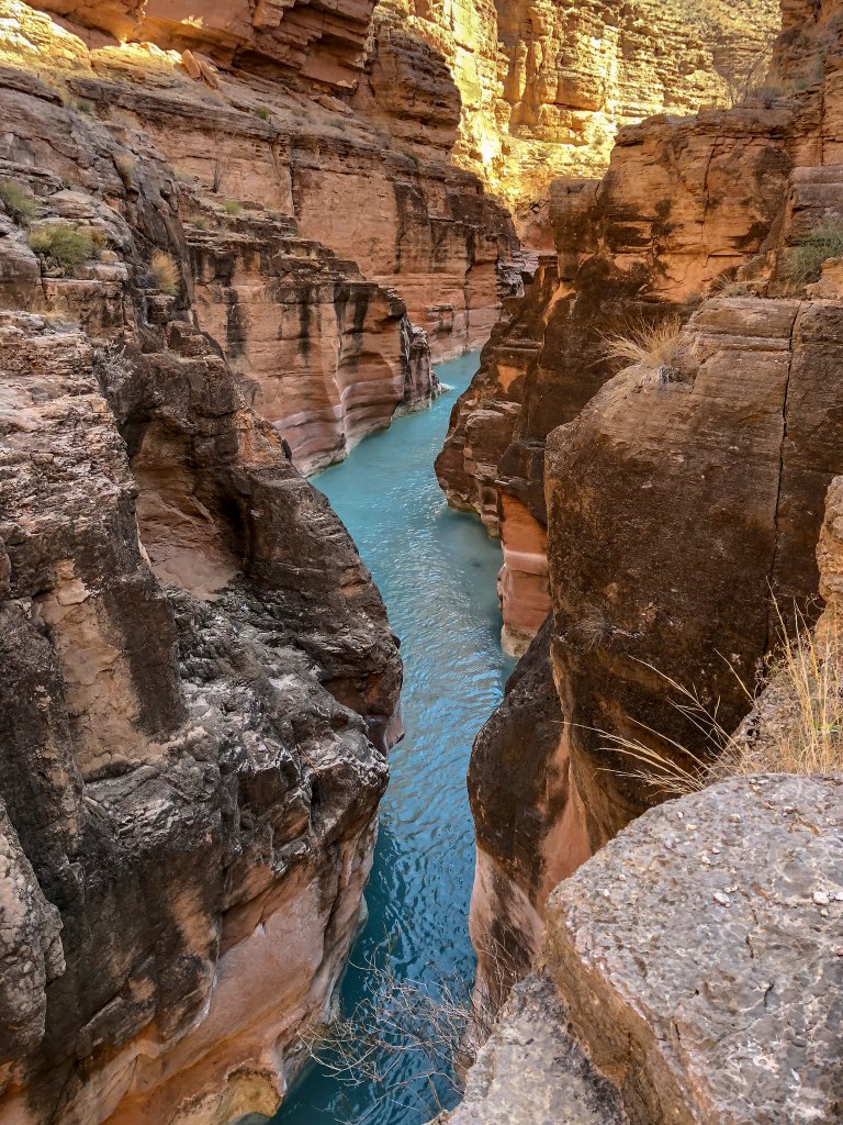
… but it became apparent the water on the way to it was just too deep and I was not willing to swim in my clothes (and there were too many people around for me to get naked).
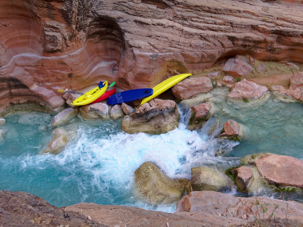
Undoubtedly, the people belonging to these kayaks were wearing wet suits.
The sight of all these fish also helped me to be more accepting of the fact that I wouldn’t be wading among them.
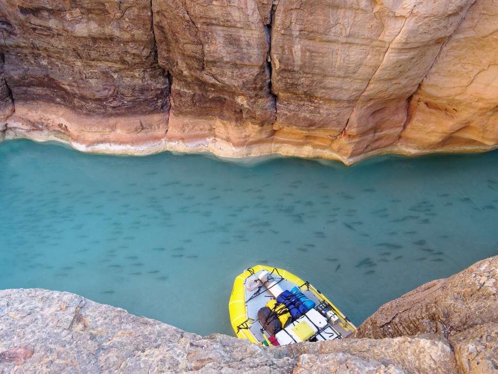
The confluence of Havasu Creek and the Colorado River is quite subtle compared to the drama of the confluence of the Colorado River and the Little Colorado River (photo).
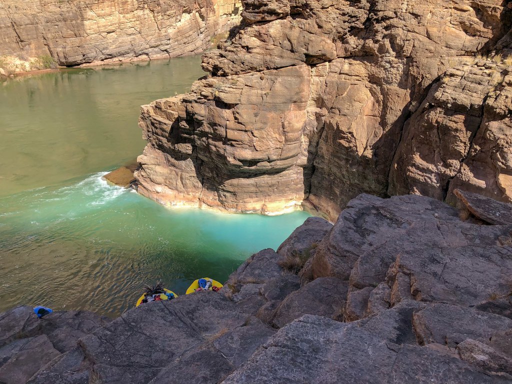
After lunch, we started to head back up the canyon. It was about 12:30 p.m., so well before our turnaround time.
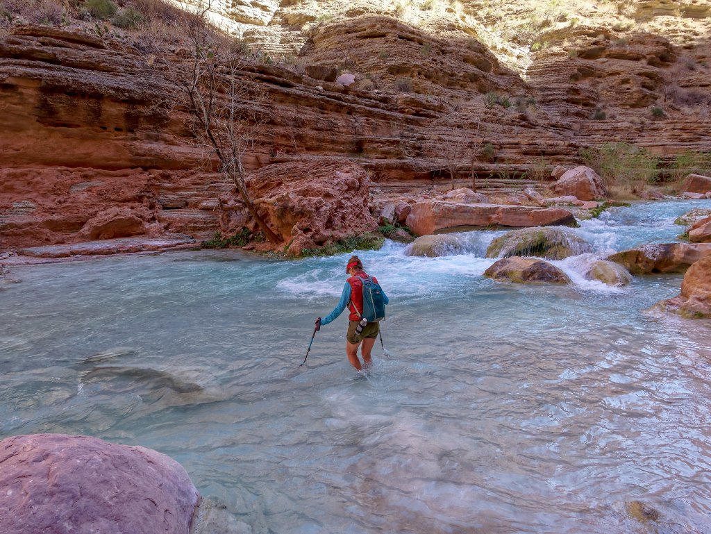
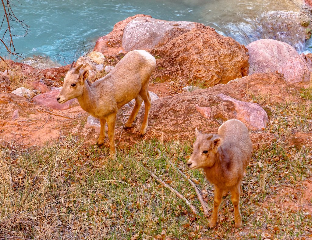
As we made our way back, we again encountered several bighorn sheep including this ram …
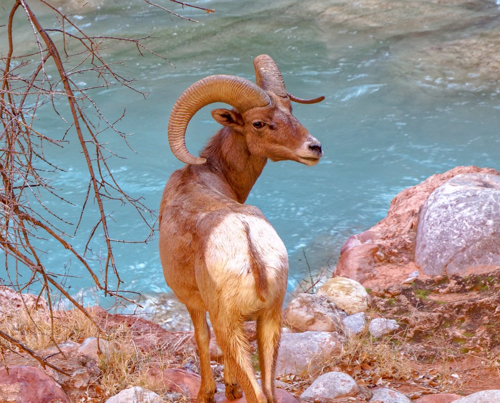
… and these lambs.
Once back at Beaver Falls we knew we only had about four more miles to go on a now familiar trail.
Our hope had been to get back to Mooney Falls before dark and we made it with about an hour to spare.
The next morning, we packed up and headed up canyon taking in one last view of Havasu Falls.
We stopped several times along the way on the hike out …
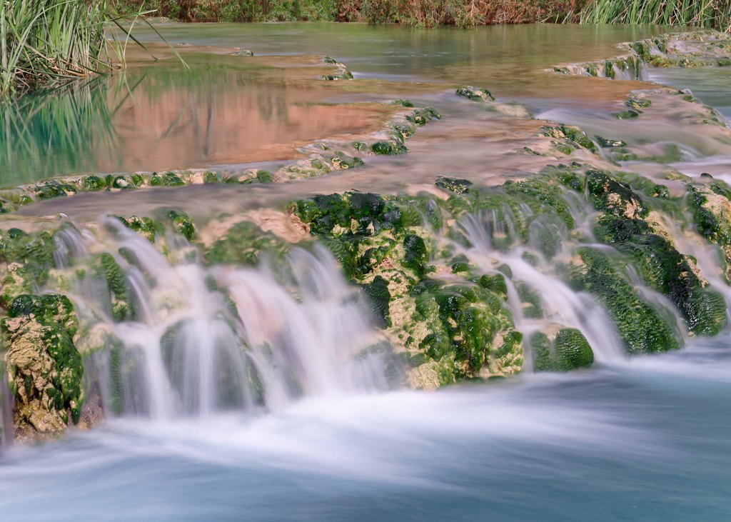
… so John could take more photos.
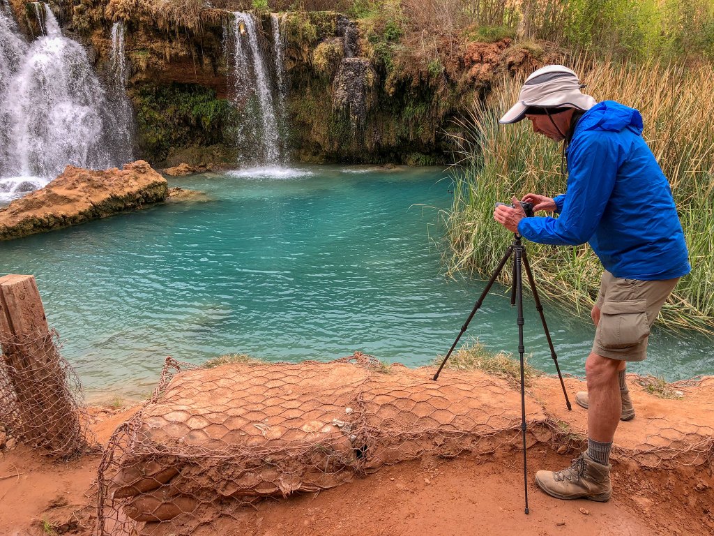
A flash flood in 2008 diverted the creek, destroying Navajo Falls but creating Little Navajo Falls.
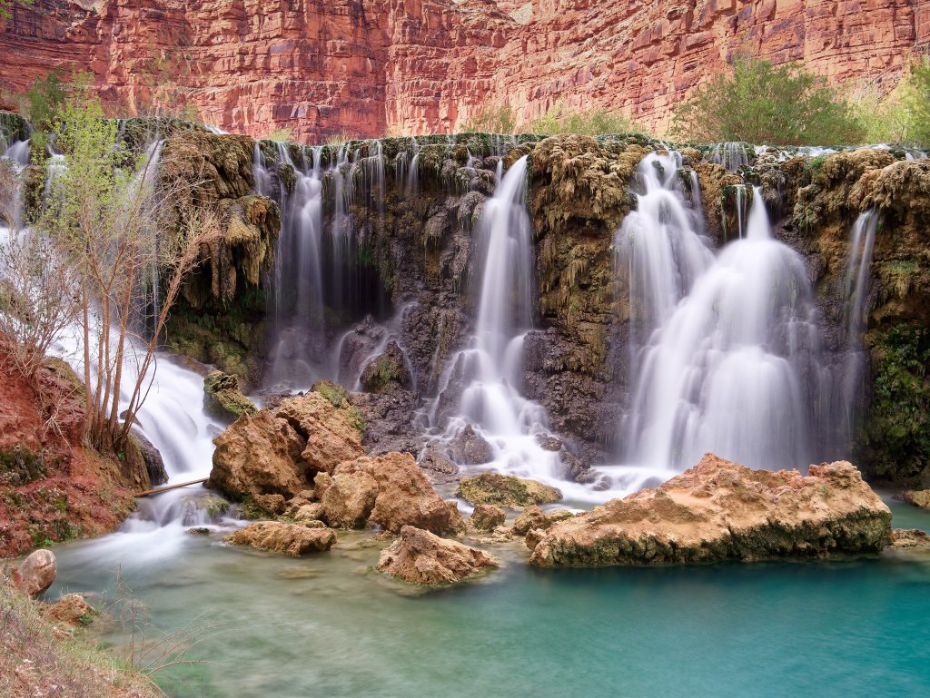
We also stopped by Fifty-Foot Falls …
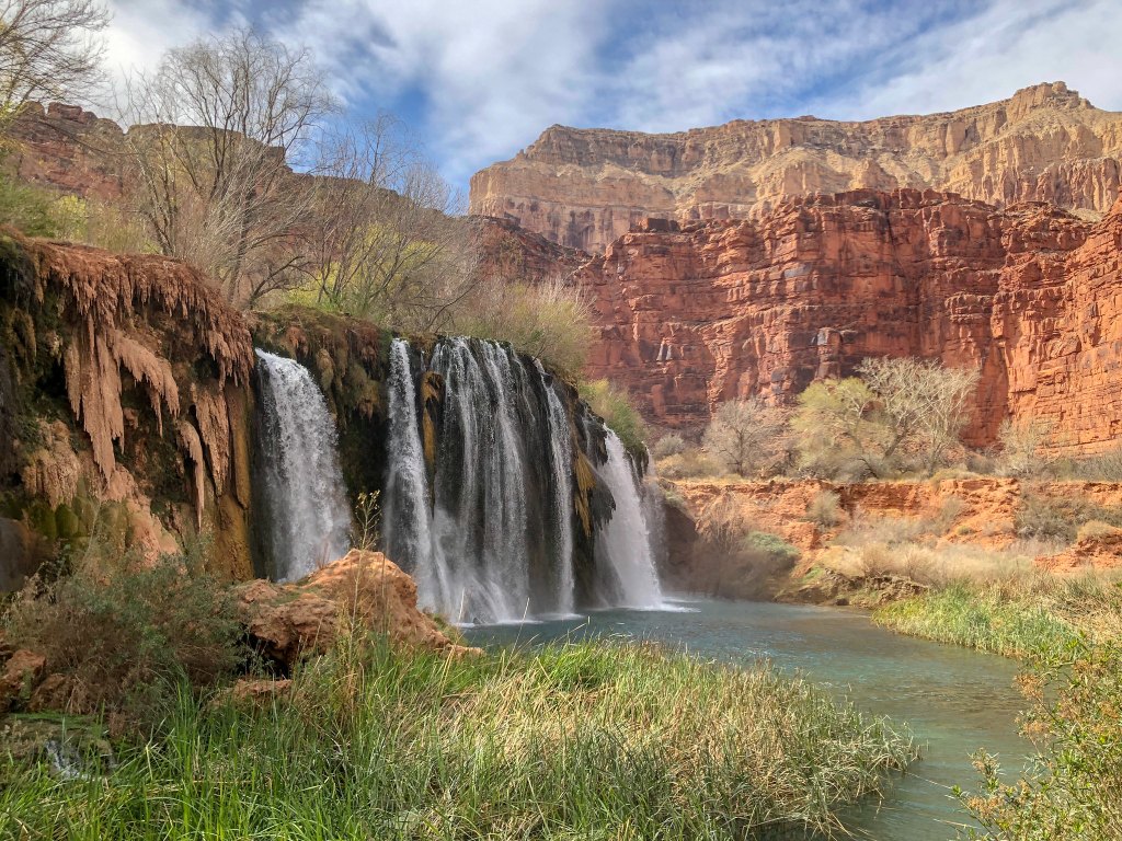
… for more long exposure photos of the flowing water …
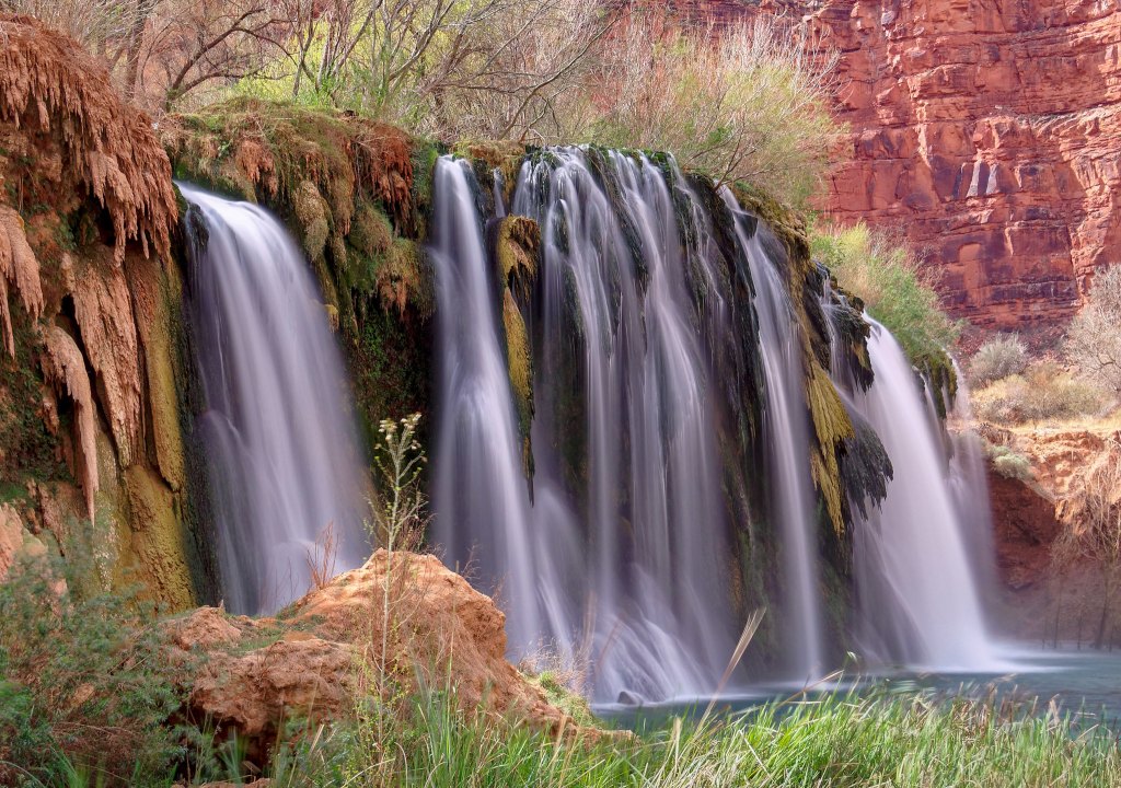
… and the unusual travertine formations.
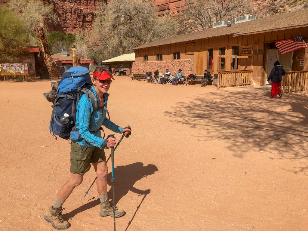
We again passed through the village of Supai and even stopped by the cafe for some Fry Bread.
As we hiked up the canyon, we wondered whether we could see Hualapai Hilltop above us. The tiny dot near the center of the photograph below is a helicopter preparing to land there.
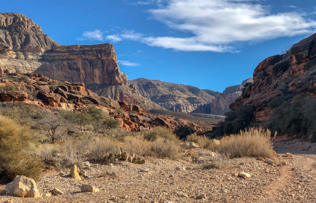
We thoroughly enjoy hiking into the late afternoon and evening as the light becomes more golden and the shadows deepen.
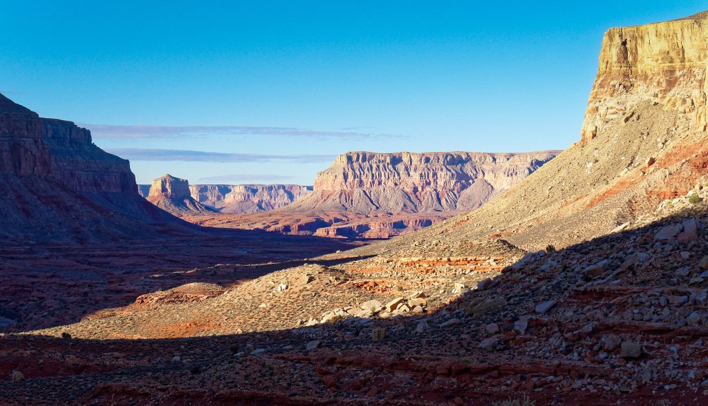
Hiking from the campground on Havasu Creek to the Colorado River and back in a single winter day was a demanding undertaking but well worth it. We are grateful to the Havasupai tribe for allowing us to visit such a special place.
All photos from this trip are on Flickr.


Leave a Reply