In June 2014, we did two trips of a lifetime. The first was this four-day, three-night trekking trip on the Inca Trail to Machu Picchu. The second was a five-day, four-night trek around Mount Ausangate (20,905 feet). We went with Andes Adventures for both trips. John was 61 and Jean was 60.
Just getting to the trailhead proved to be an exciting adventure. We rode in a comfortable tour bus that seemed oversized given how narrow the roads were. Fortunately, our driver was exceptionally skilled; at one point he had to negotiate a partially washed-out bridge. I think we were all relieved to arrive at the trailhead without mishap.
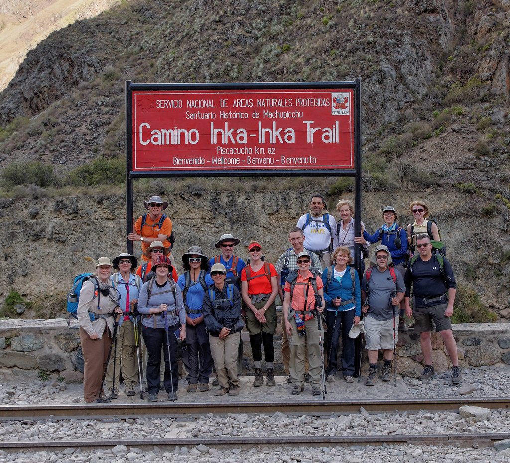
We had a large group of fellow trekkers, and we couldn’t have wished for a better bunch of folks to do this trip with.
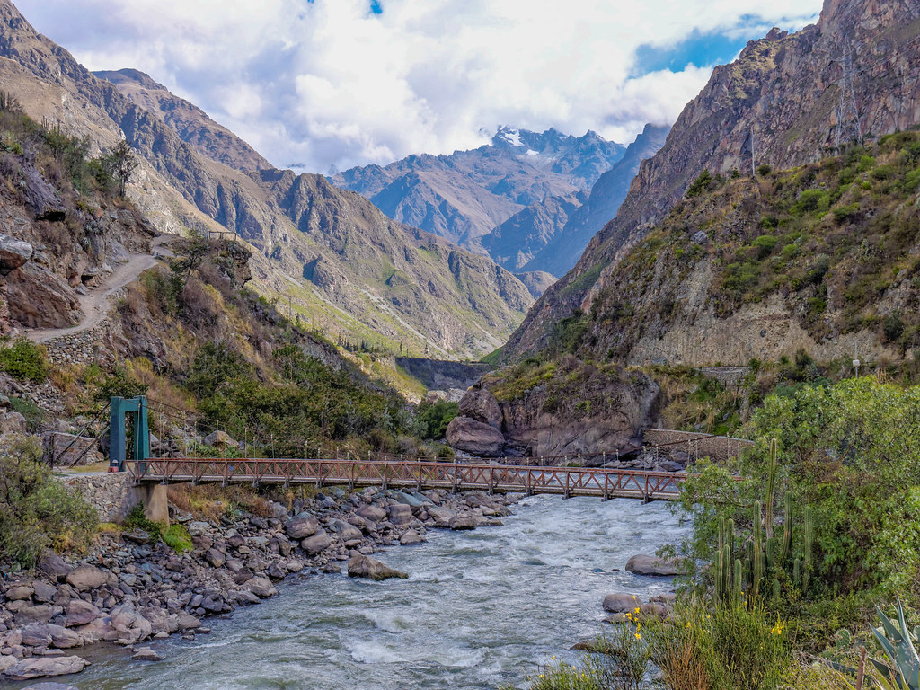
We first crossed the Urubamba River (the trail is visible to the left).
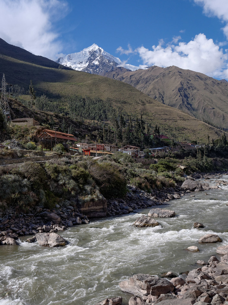
Looking back, we got a view of Mount Veronica (18,865 feet), the highest peak in the Cordillera Urubamba.
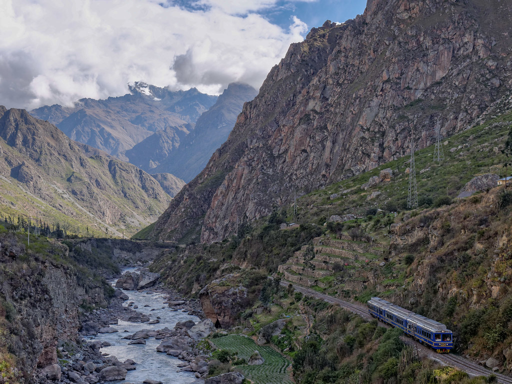
Most visitors take the quick and easy way to Machu Picchu: the train, which travels through the Urubamba River valley. One of many mysteries of Machu Picchu is why the Incas didn’t choose the same route rather than take the circuitous way that crosses three mountain passes. I figure there must be an important reason, and we were quite content to take the trail. Besides, there is so much to be seen along the way.
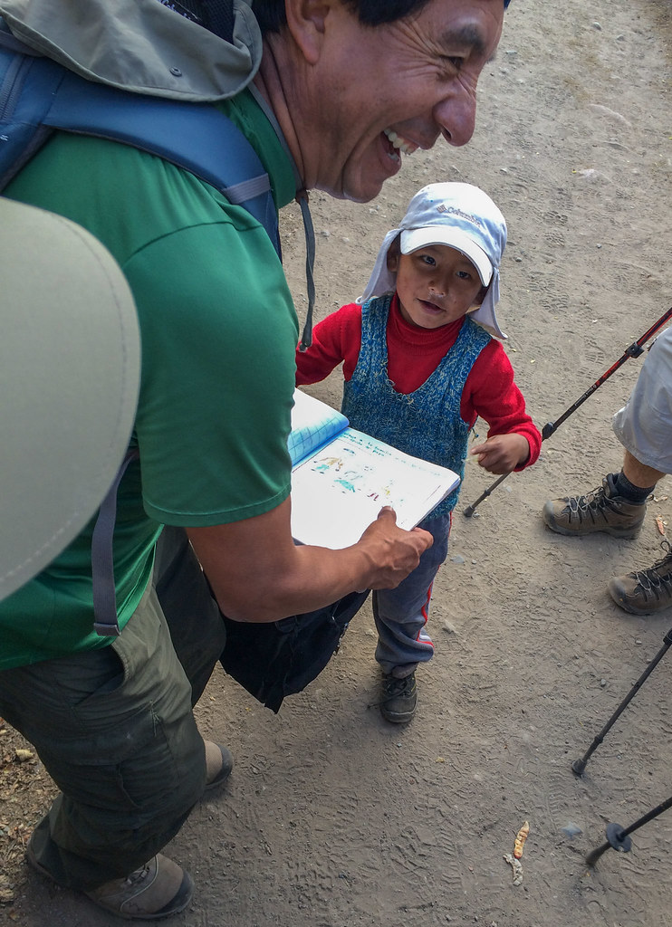
One of the most delightful human encounters we have ever had while hiking was meeting Marco. We found him sprawled out on the trail. Apparently, he had become quite tired walking home from school, so he lay down to rest and fell fast asleep. Once awake, he became animated and proudly showed our guide, Abelardo, what he had done in school that day. He walked the rest of the way home with us, holding Abelardo’s hand.
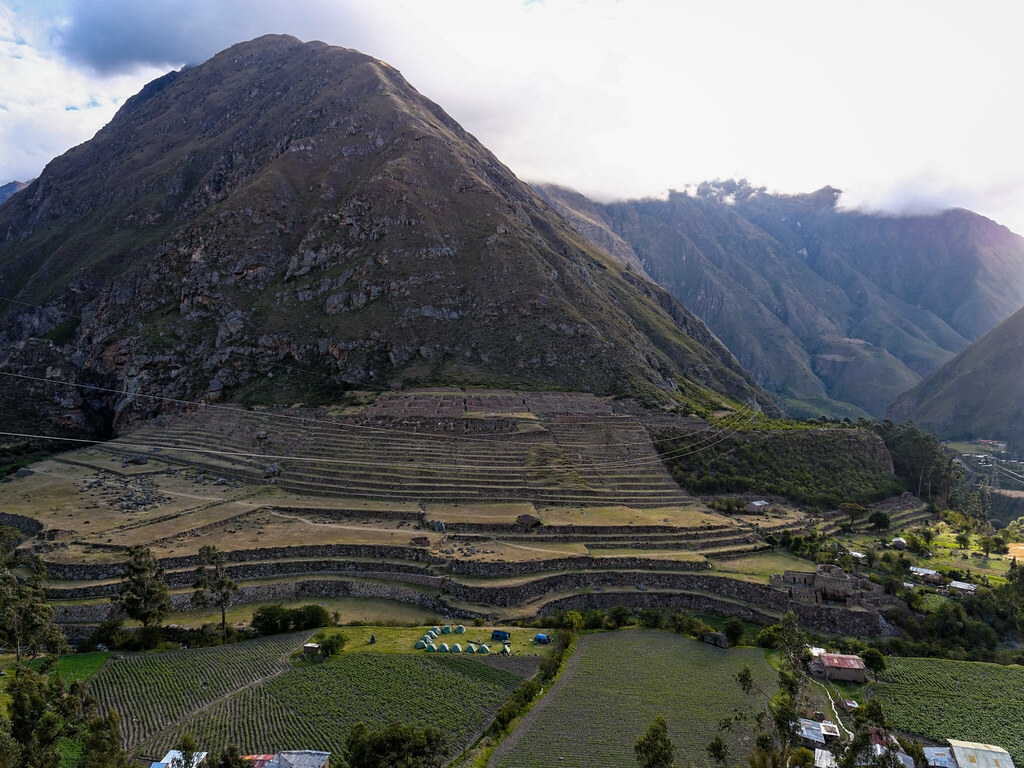
We continued on and were happy to see our camp in the distance …
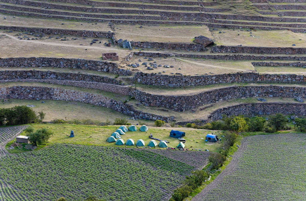
… adjacent to the ruins of Llactapata, Town on Hillside. One of the many great things about Andes Adventures was that the first night we got to camp near this site while other tours continued farther up the trail. This enabled our group to be out of step with other groups, so we hardly saw any other tourists on the trail.
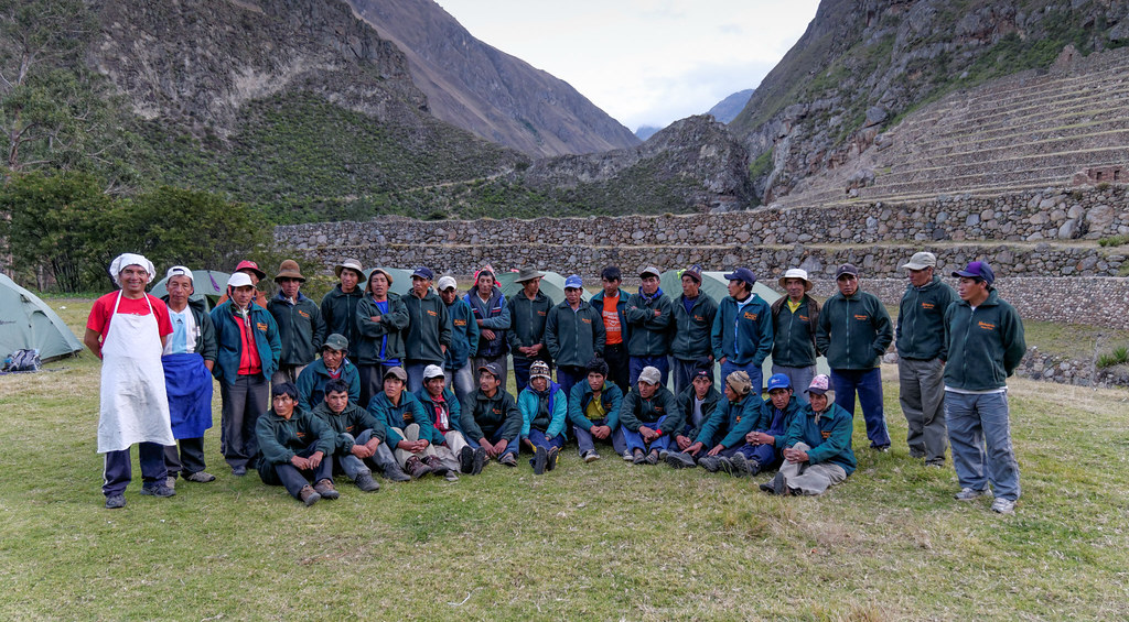
Shortly after arriving at camp, we were introduced to our cooks and porters. We learned that most were farmers and weavers who do this as a way to make some extra money. Abelardo told us their names and ages. I jokingly asked each one how many wives they had, and this apparently struck them as quite funny. Most reported having only one wife, but some got into it and said they had more.
The next morning, we hiked through the ruins.
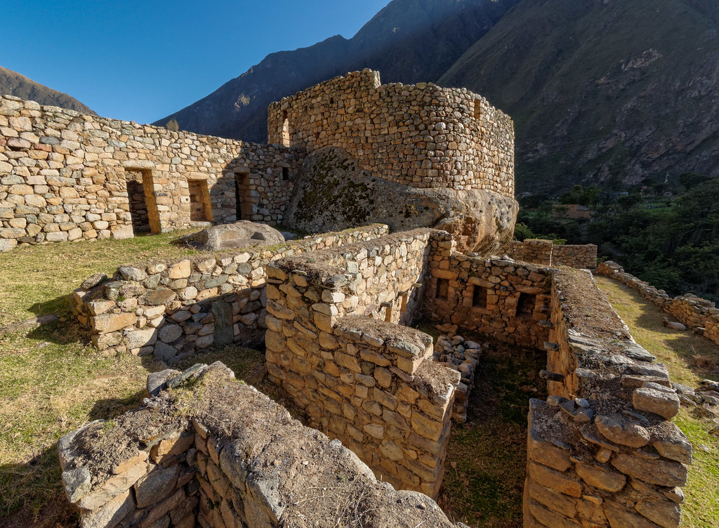
Given the length of the terraces, some cantilevered steps were ingeniously incorporated in the stone walls.
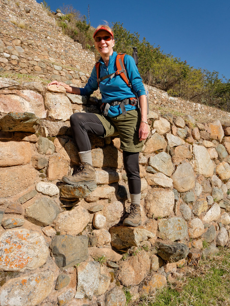
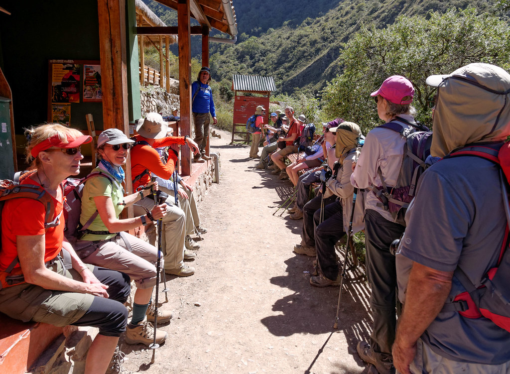
Later, we stopped at a checkpoint. At the time, the number of permits was limited to 200 trekkers and 300 guides and porters, a vast improvement over earlier years when thousands of trekkers started the trail each day. In the past, the large numbers of people trashed the trail, camped within archaeological sites, and pooped anywhere they wanted.
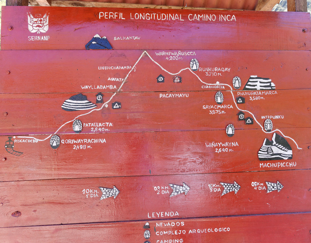
A sign showed a simplified illustration of the elevation gain and loss of the trail.
The trail gradually gained elevation …
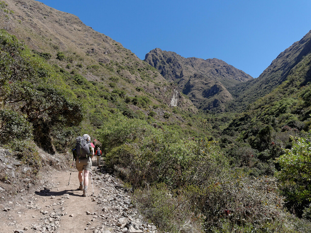
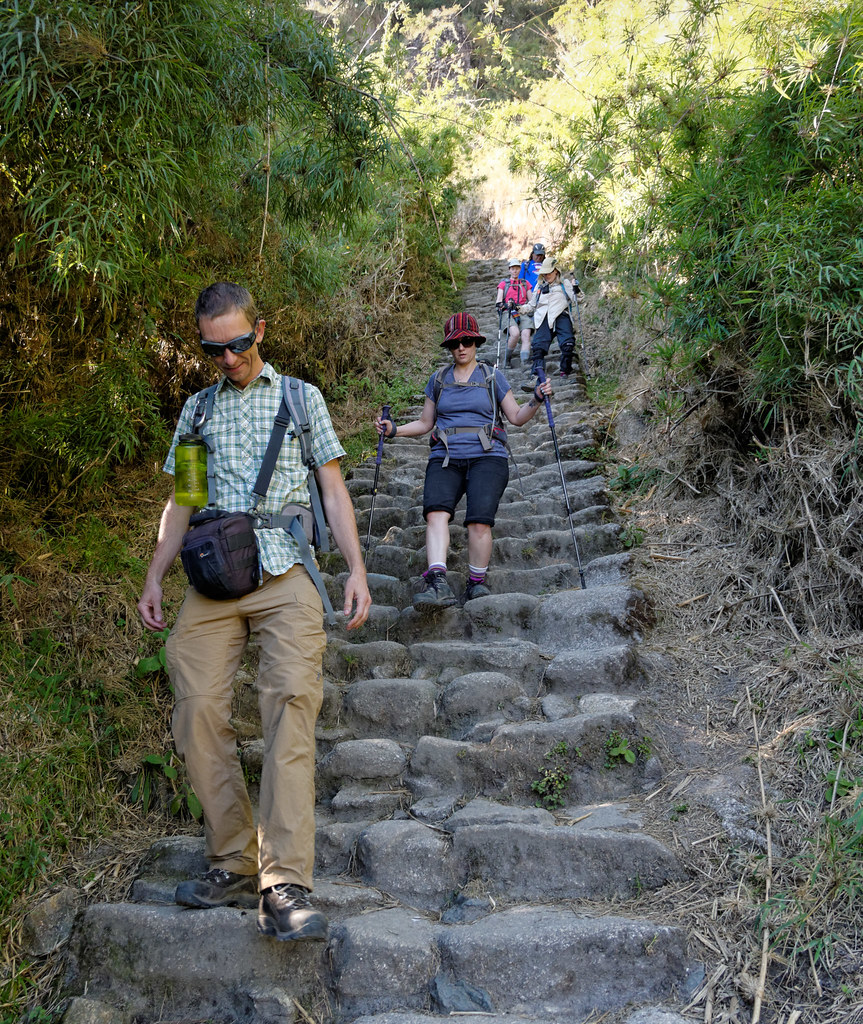
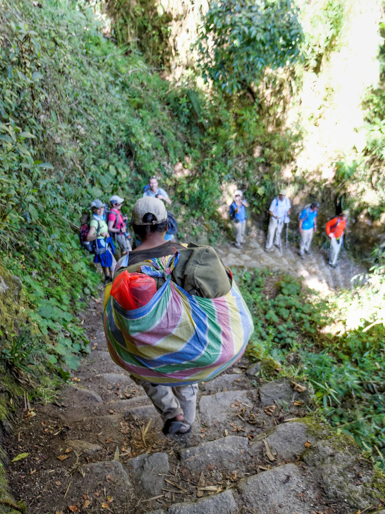
… becoming steeper, and we began encountering something the Inca Trail is well known for: stairs, countless stone stairs of varying height and width.
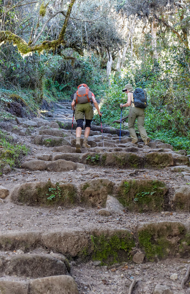
The trail took us through lush forest …
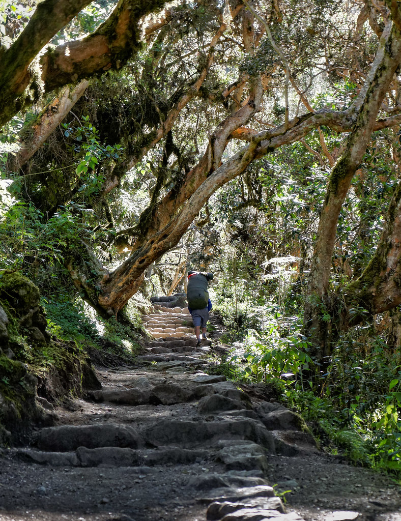
… to above the tree line. We camped that night at Llulluchapampa, which is at about 12,450 feet.
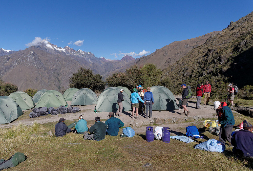
The following day we would cross Warmiwañusq’a Pass, also known as Pass of the Dead Woman, at 13,779 feet. It is the highest point on the Inca Trail. To avoid hiking up it in the heat of the day, we were awakened quite early and provided a quick cold breakfast (with a promise of our customary hot breakfast on the other side).
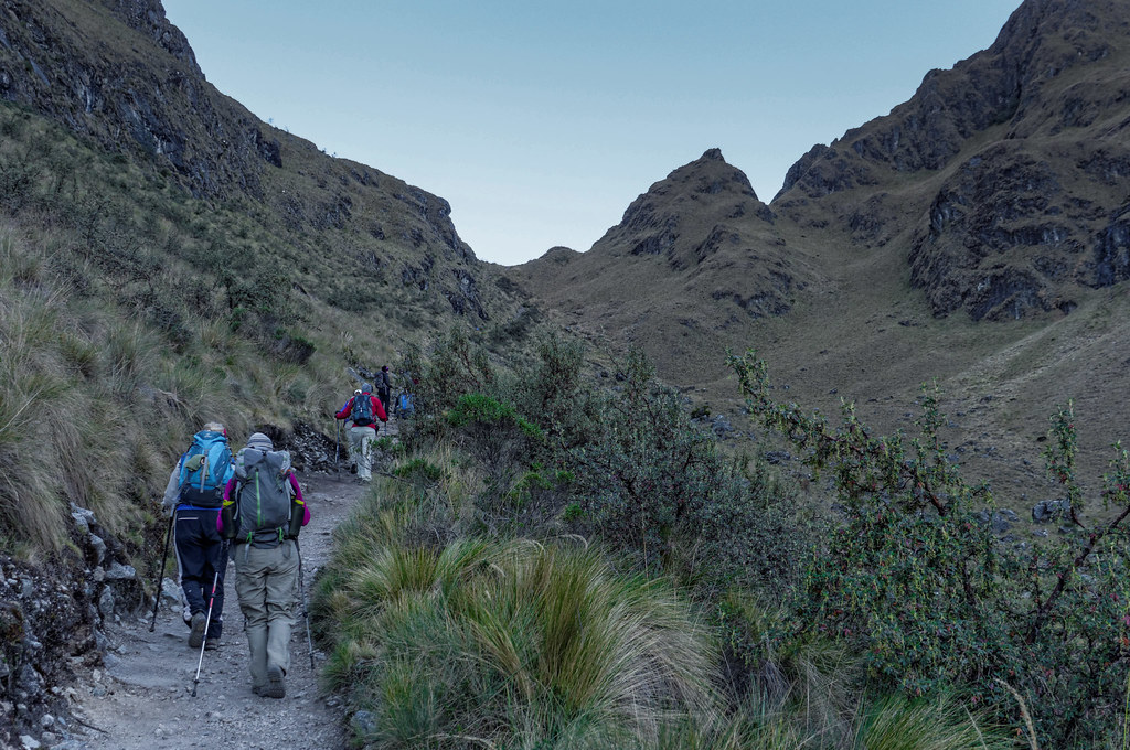
As with any hike, it is important to stop periodically and look back, as some of the best views may be behind you. Besides, it can be quite satisfying to see where you have been and how far you have come rather than focus only on how far you have yet to go.
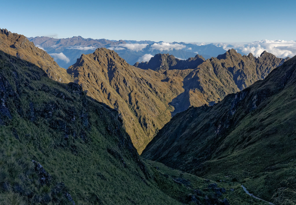
Our early start definitely avoided hiking in any heat. While the sun can be quite hot, the wind was chilly that morning, and I thought the shaded valley was cold. I don’t often have to wear a puffy coat and warm hat when hiking uphill.
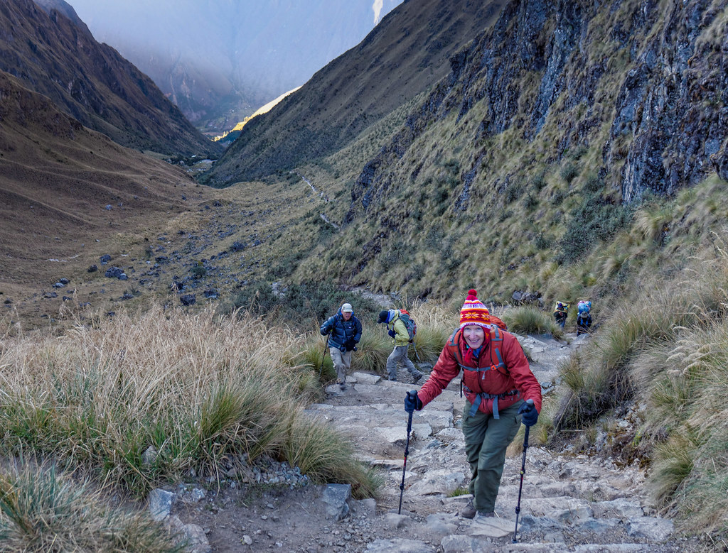
The Pass of the Dead Woman apparently earned its name from the rock formations at the pass which, when viewed from the other side, are supposed to resemble a woman lying on her back. I did wonder why it couldn’t have been named something a bit less morose, like Pass of the Sleeping Woman.
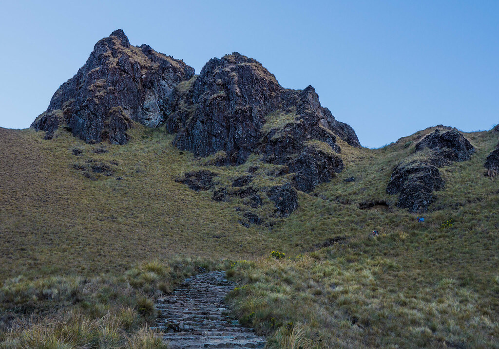
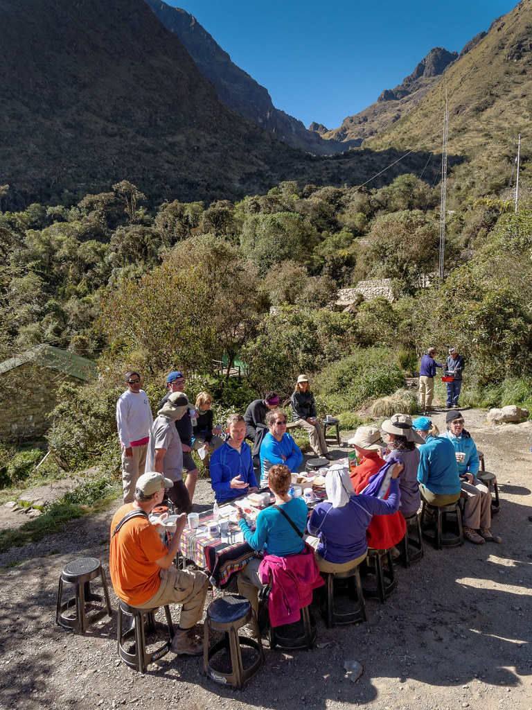
Once over the pass, we descended to the valley knowing we would soon hike up another pass. I enjoyed the warm sun and really looked forward to …
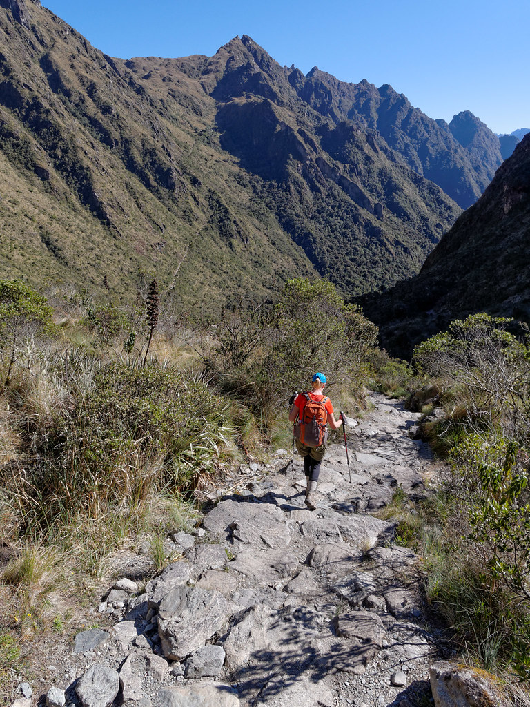
… our second breakfast!
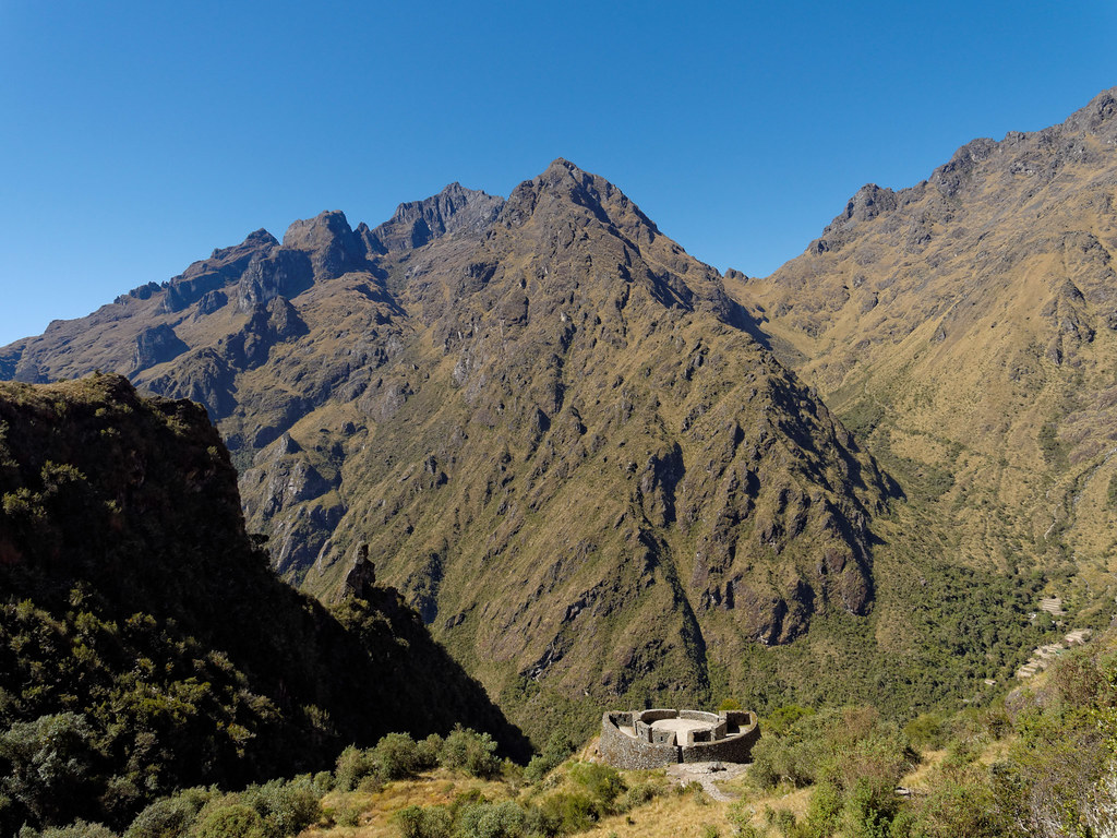
As we approached Runkurakay Pass at 13,000 feet, we had this view of the Runkurakay watchtower ruins below.
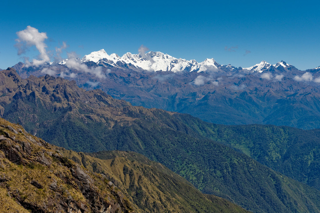
We also had great views of the Cordillera Vilcabamba.
As the trail descended again, we encountered Sayacmarca, Dominant Town.
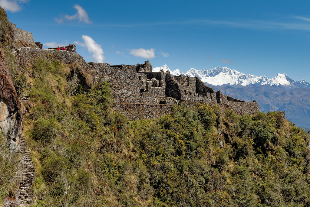
A short but steep side trail enabled us to walk around in the ruins.
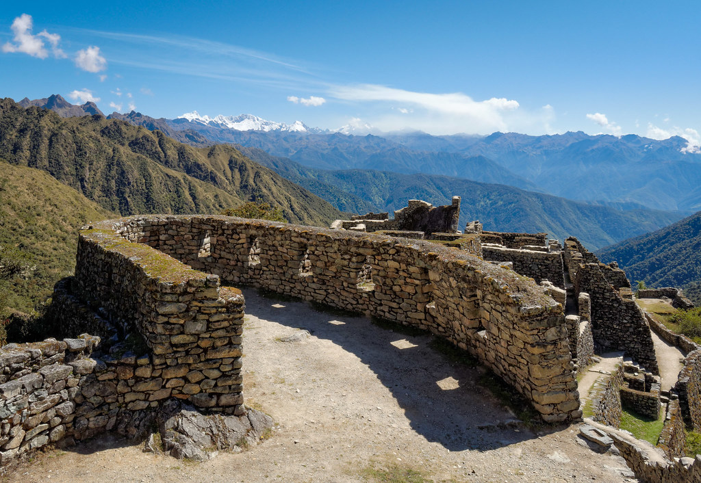
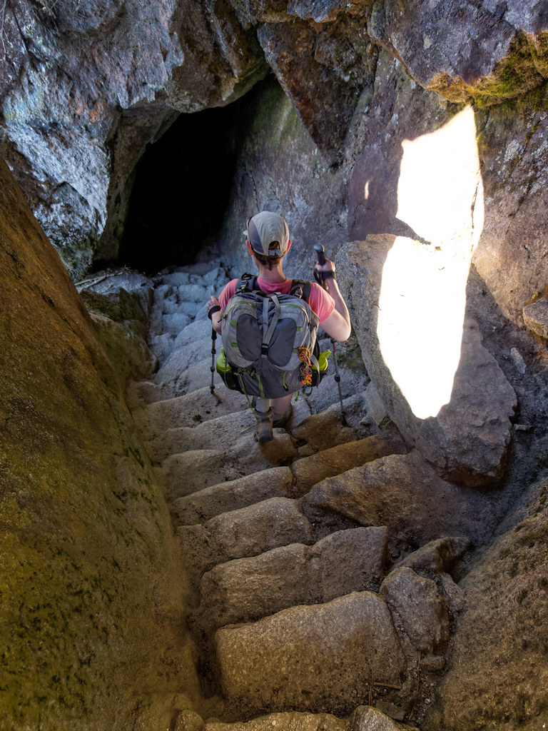
We then continued to descend, going through an Inca tunnel with carved steps.
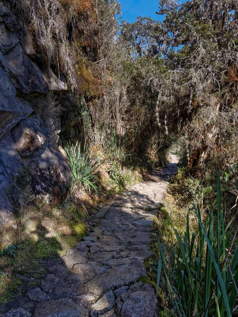
The trail then entered some dense vegetation and became a wide, more road-like, stone-paved trail.
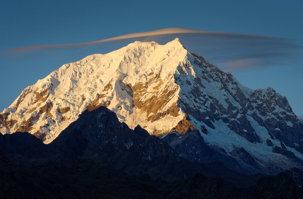
The trail made its final ascent to our destination for the day, and we began to get views of Salcantay.
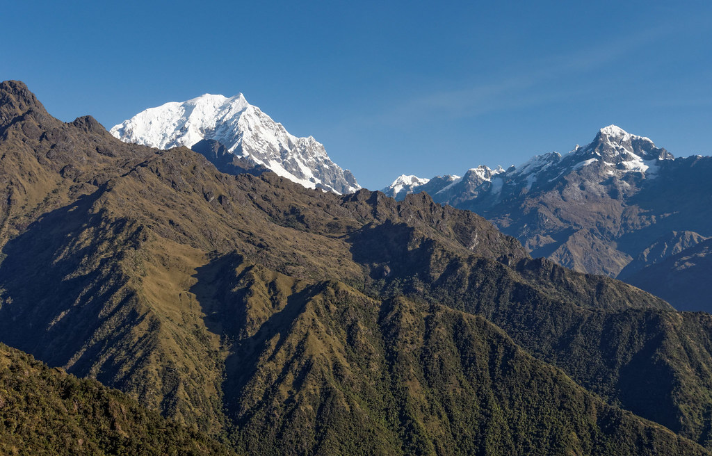
We camped near Phuyupatamarca, Town in the Clouds …
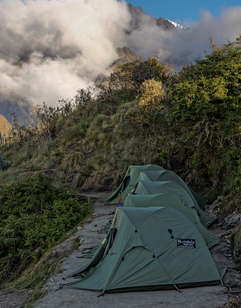
… and even the view from our tent was great!
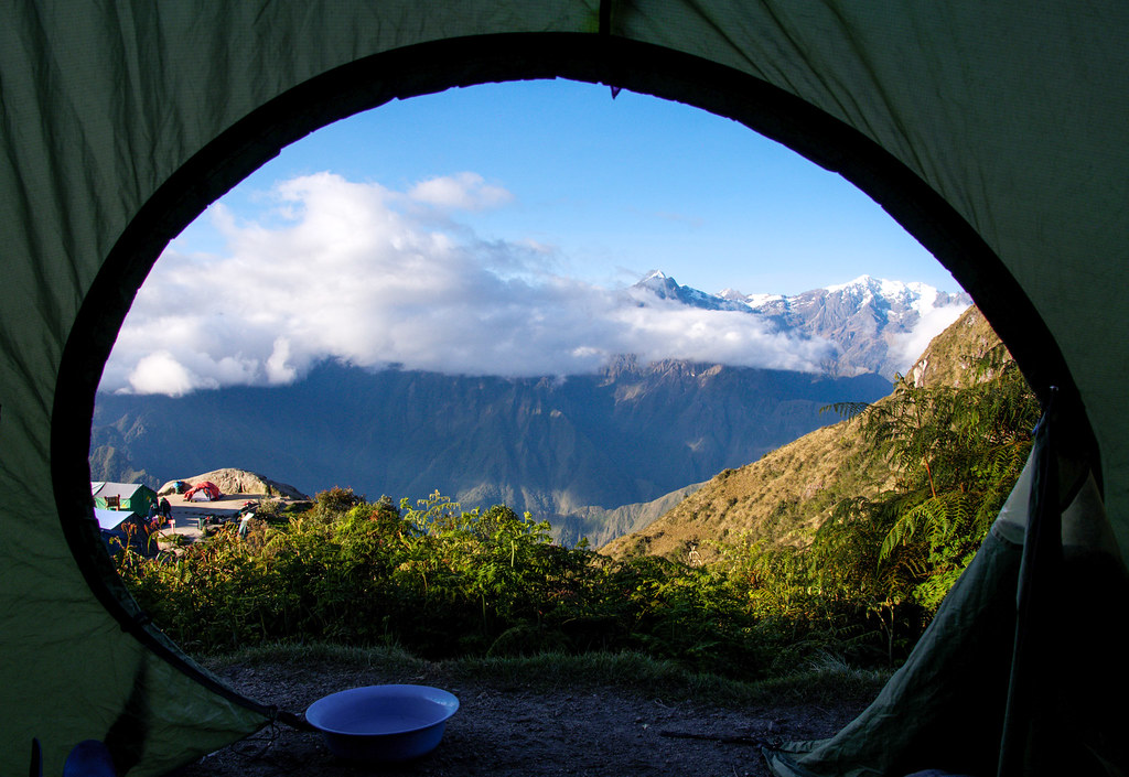
John took advantage of the deepening evening light for photography.
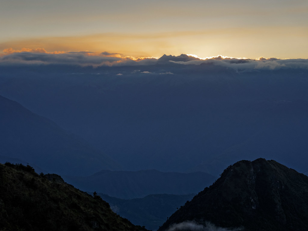
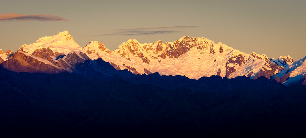
Our group arose quite early to see the sunrise, and the morning light was gorgeous over the distant peaks such as Sacsarayoc (on the left) …
… Salcantay …
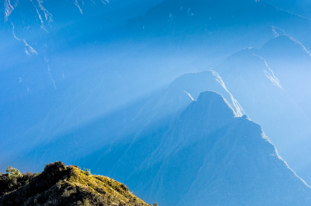
… and surrounding mountains.
We headed out and the trail descended.
The trail passes some ceremonial Inca baths where mountain water still flows through carved stone channels …
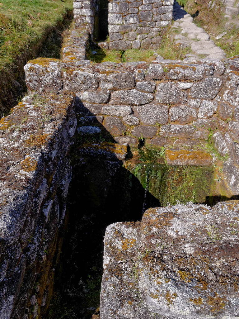
… and continues down more stairs.
We passed another significant ruin on the way, Wiñay Wayna, Forever Young.
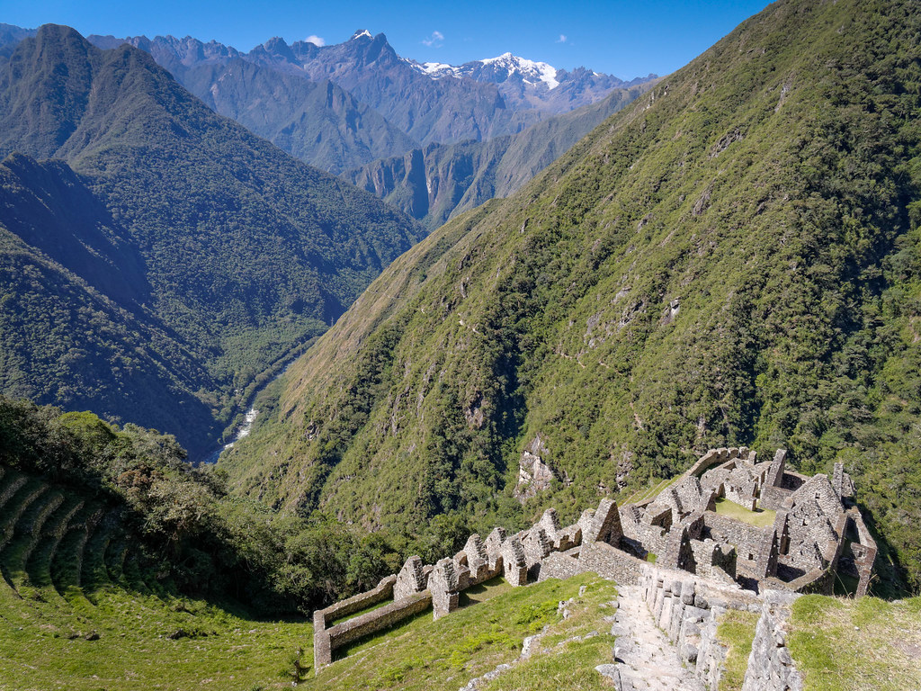
These were our favorite ruins thus far.
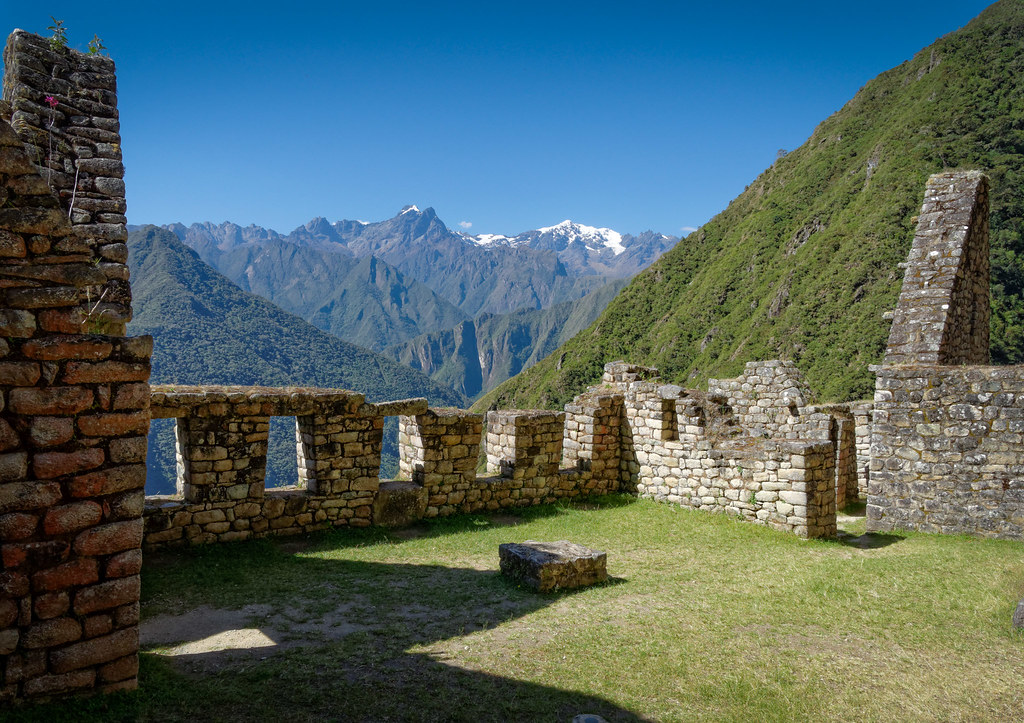
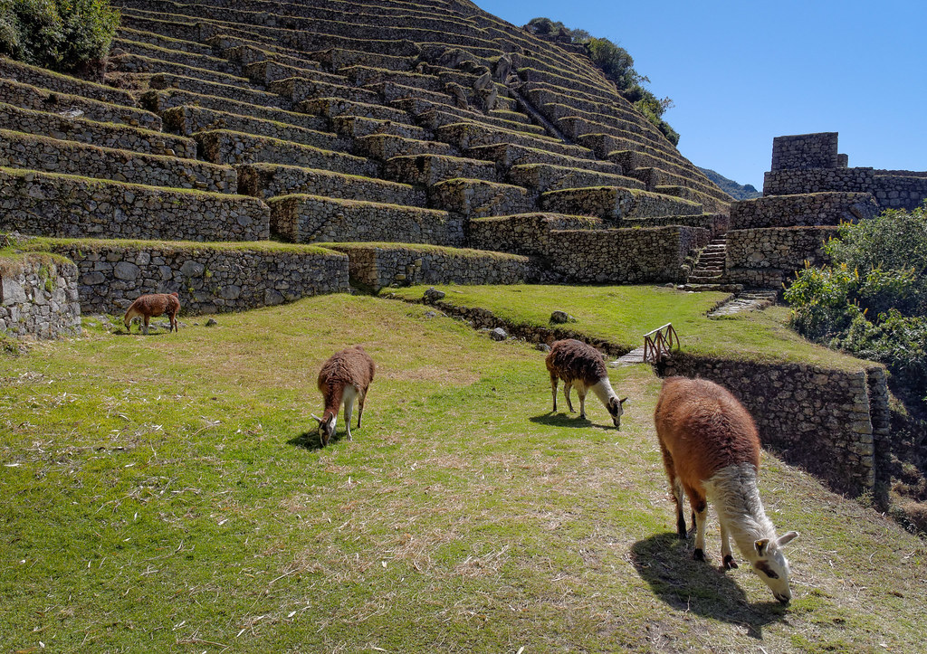
We were delighted to have this beautiful site to ourselves …
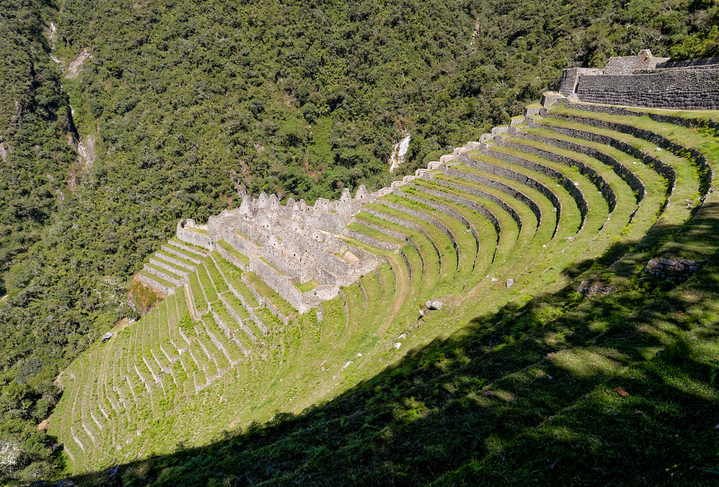
… with the exception of a few llamas.
We were approaching the end of the Inca Trail, but we discovered that we weren’t quite done with stairs. The climb was brief …
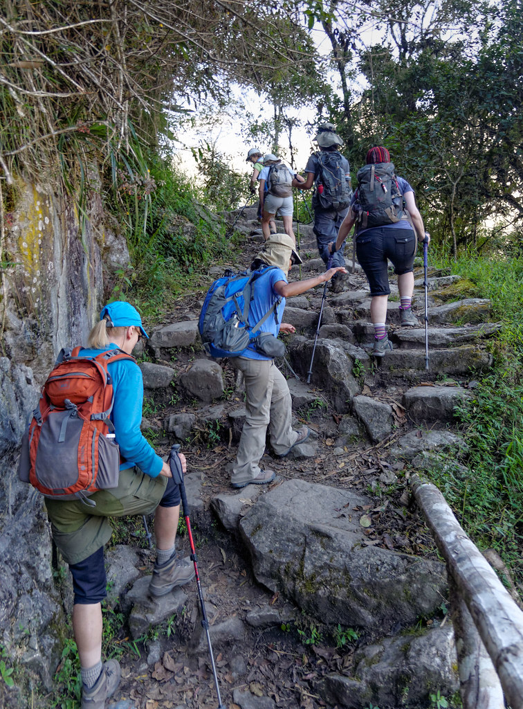
… but I think these were the steepest we had encountered.
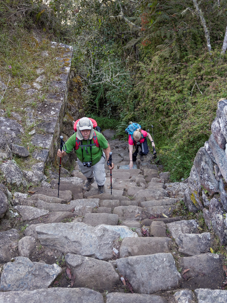
Our efforts were immediately rewarded with the sight of Intipunku, “Gateway of the Sun” …
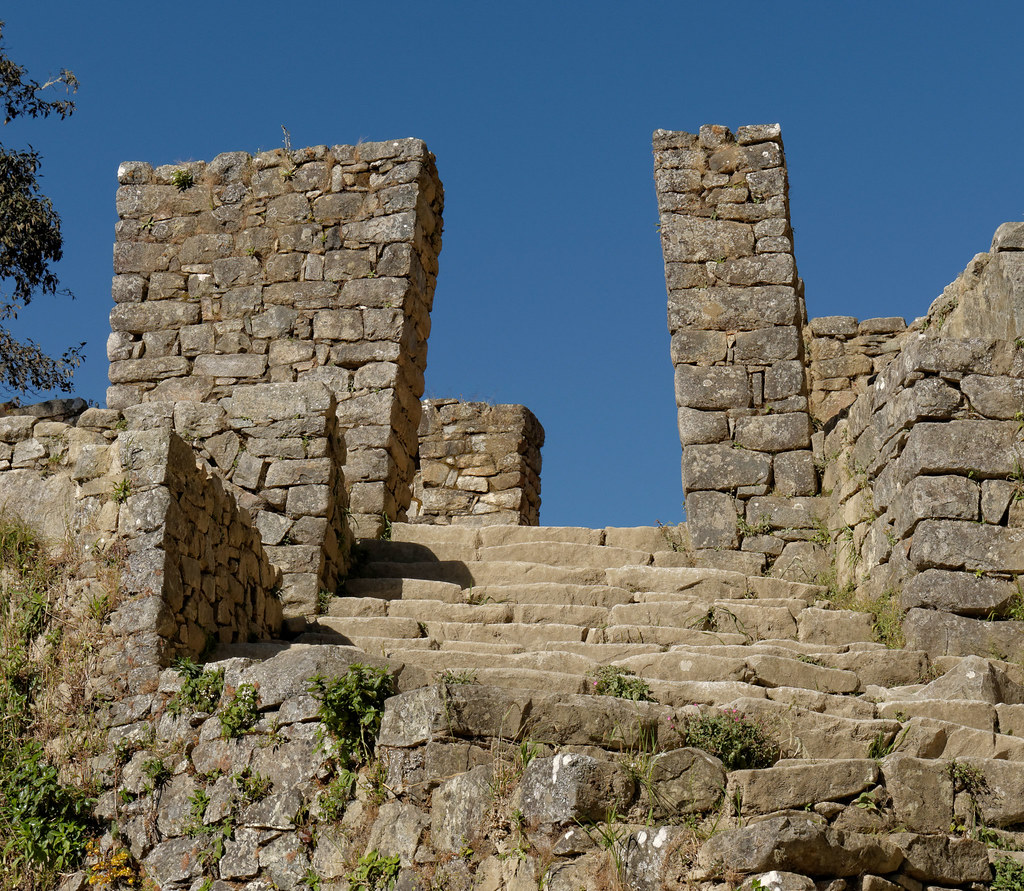
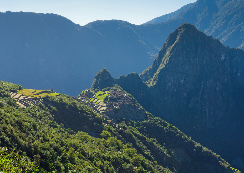
… and our first view of Machu Picchu!
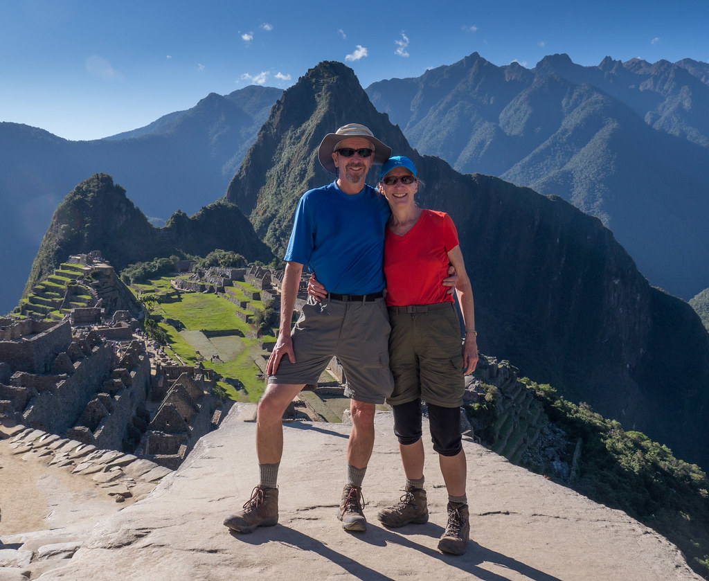
We paused to get an iconic tourist photo of us.
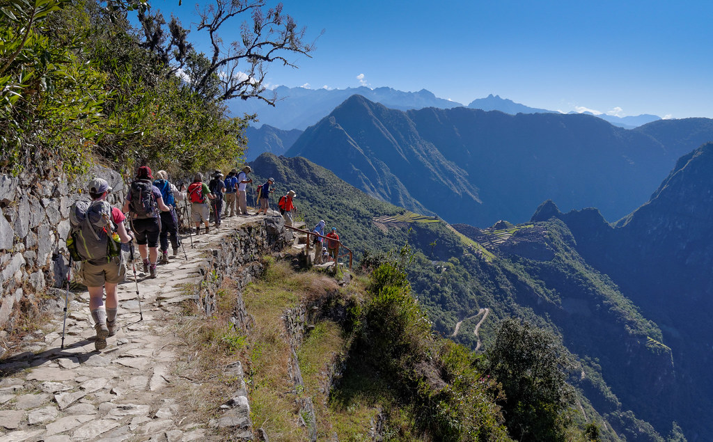
We would not be touring the site that day, so we continued down to the entrance, where we would catch a bus to Machu Picchu Pueblo (AKA Aguas Calientes), where our hotel (and hot showers) awaited us.
The next morning, we left our lodging early, picked up a sack lunch, and boarded a bus that would take us to the entry gate of Machu Picchu. Abelardo was quite knowledgeable about the ruins, and he led us around to some of the most notable structures.
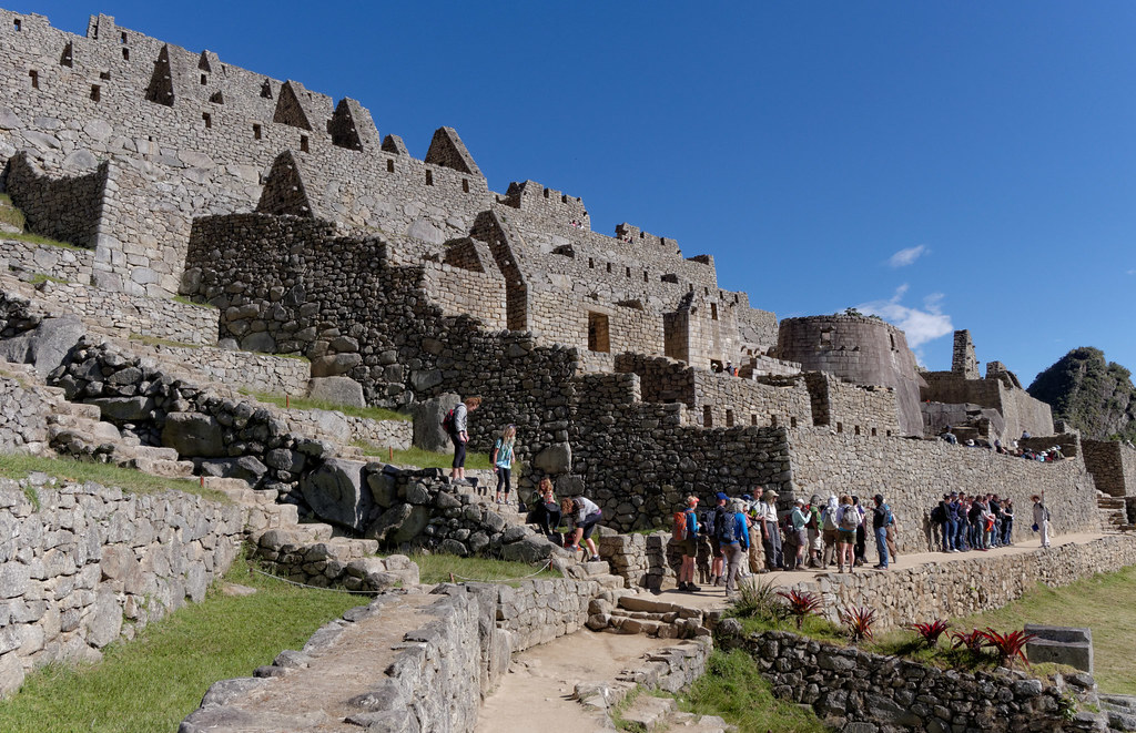
I wish I had a better memory or had taken notes, as he was a wealth of information.
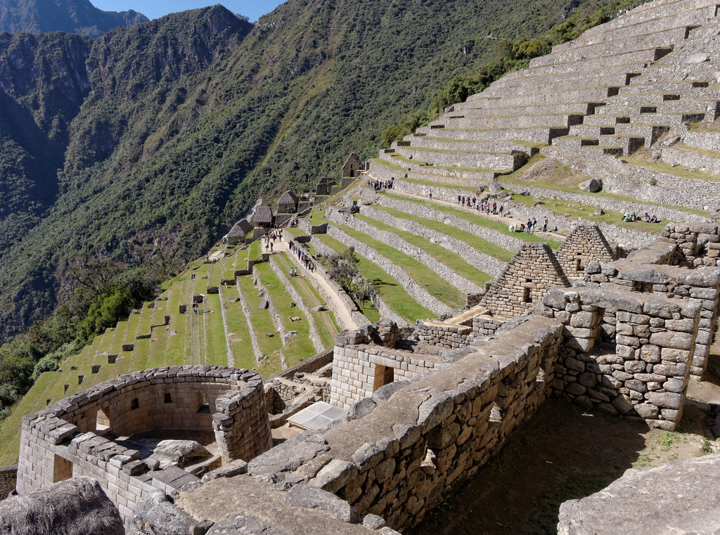
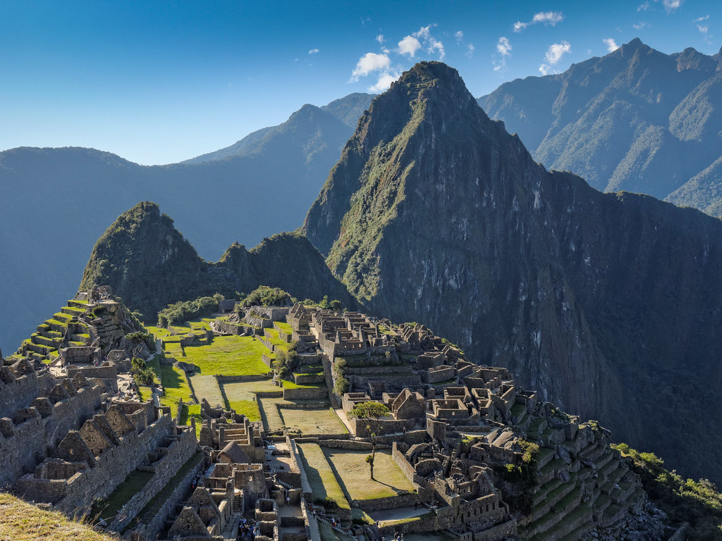
Some of us had opted to do an optional hike to the top of Huayna Picchu, “Young Mountain,” the pointy peak seen beyond Machu Picchu in the distance.
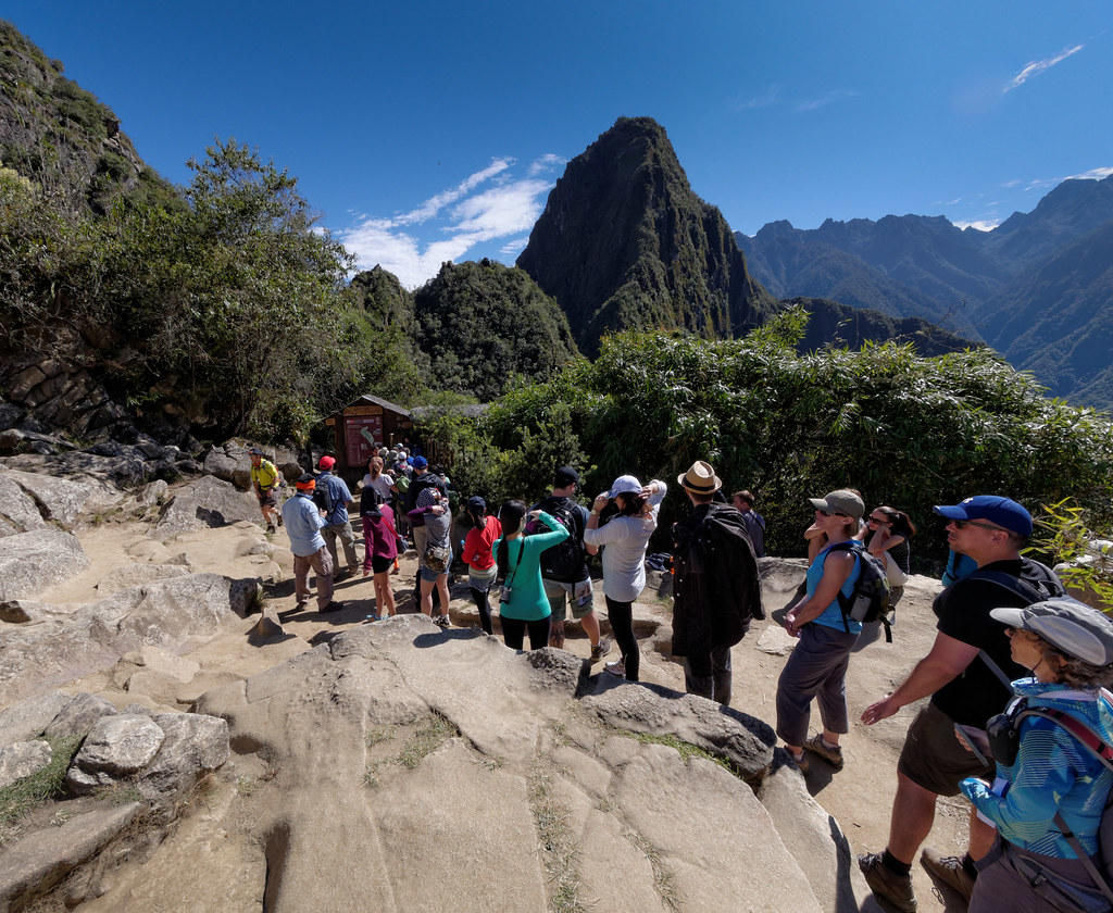
At the time, access to Huayna Picchu was limited to 400 people a day, and permits had to be purchased well in advance. Two hundred were allowed to start at 7:00 a.m. and 200 at 10:00 a.m. We were in the 10:00 group. While we waited in line, we wondered where the trail was on the seemingly vertical peak.
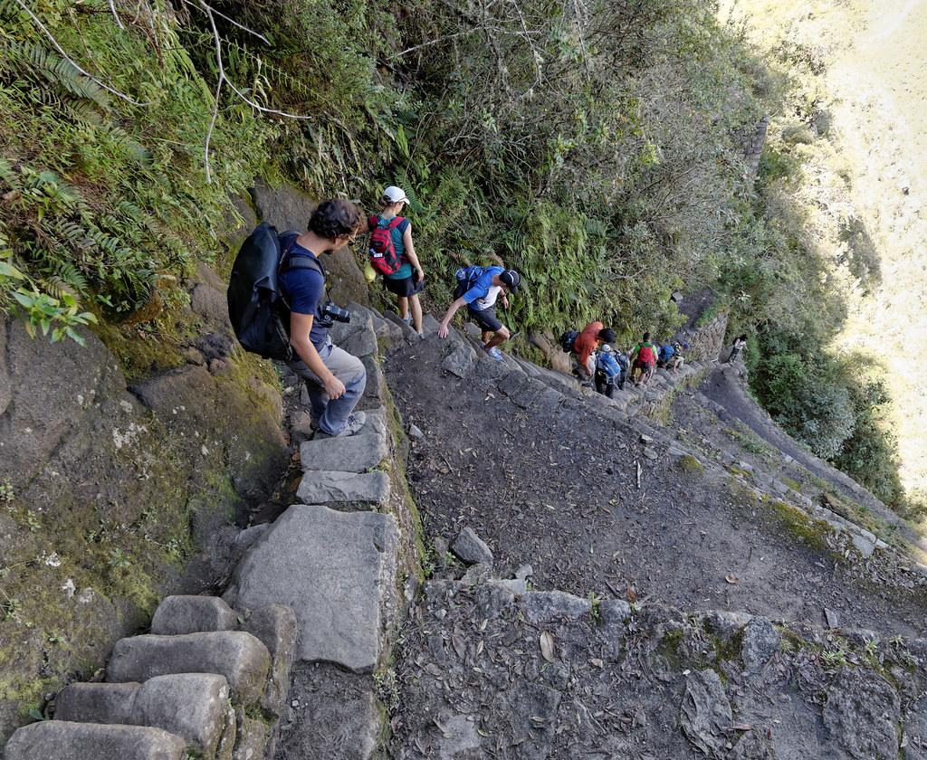
Given the steepness of the terrain, we weren’t surprised to encounter stairs, …
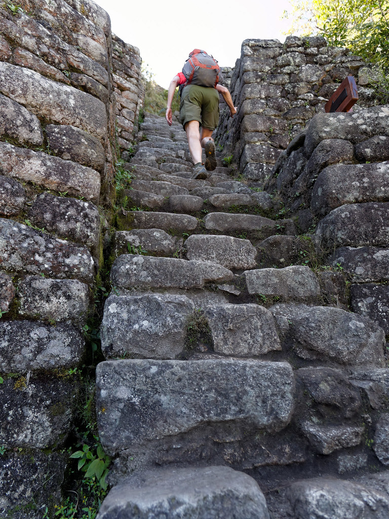
… some so vertical …
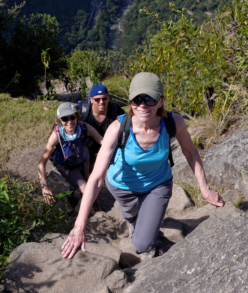
… they could be climbed like a ladder.
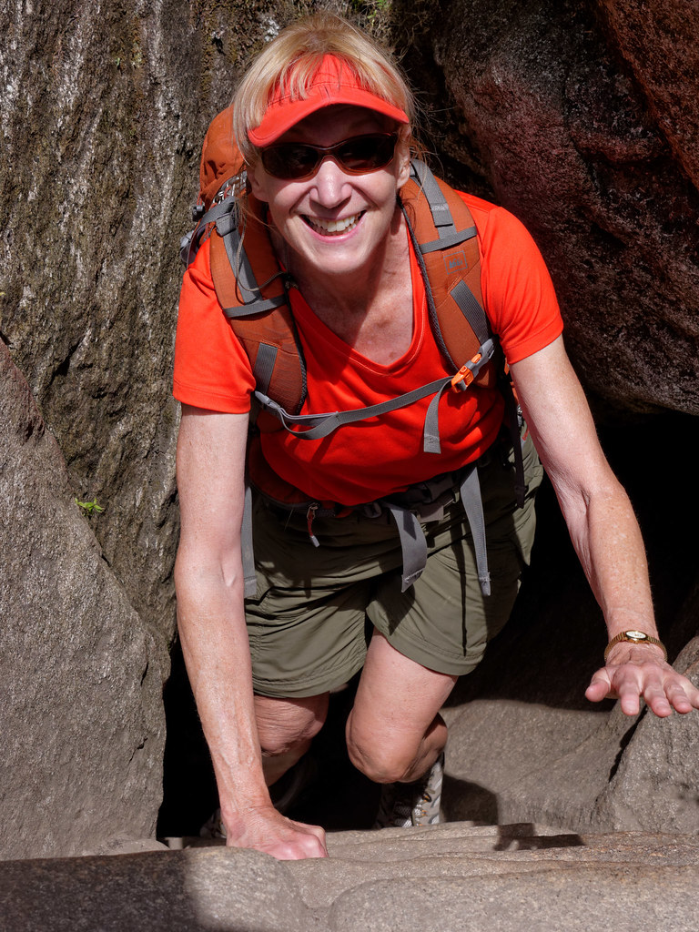
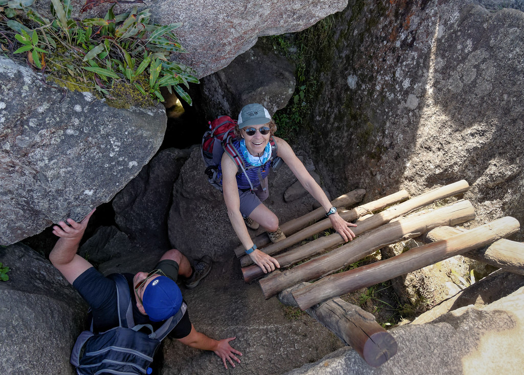
The final ascent to the top involves going through a natural hole in the rocks …
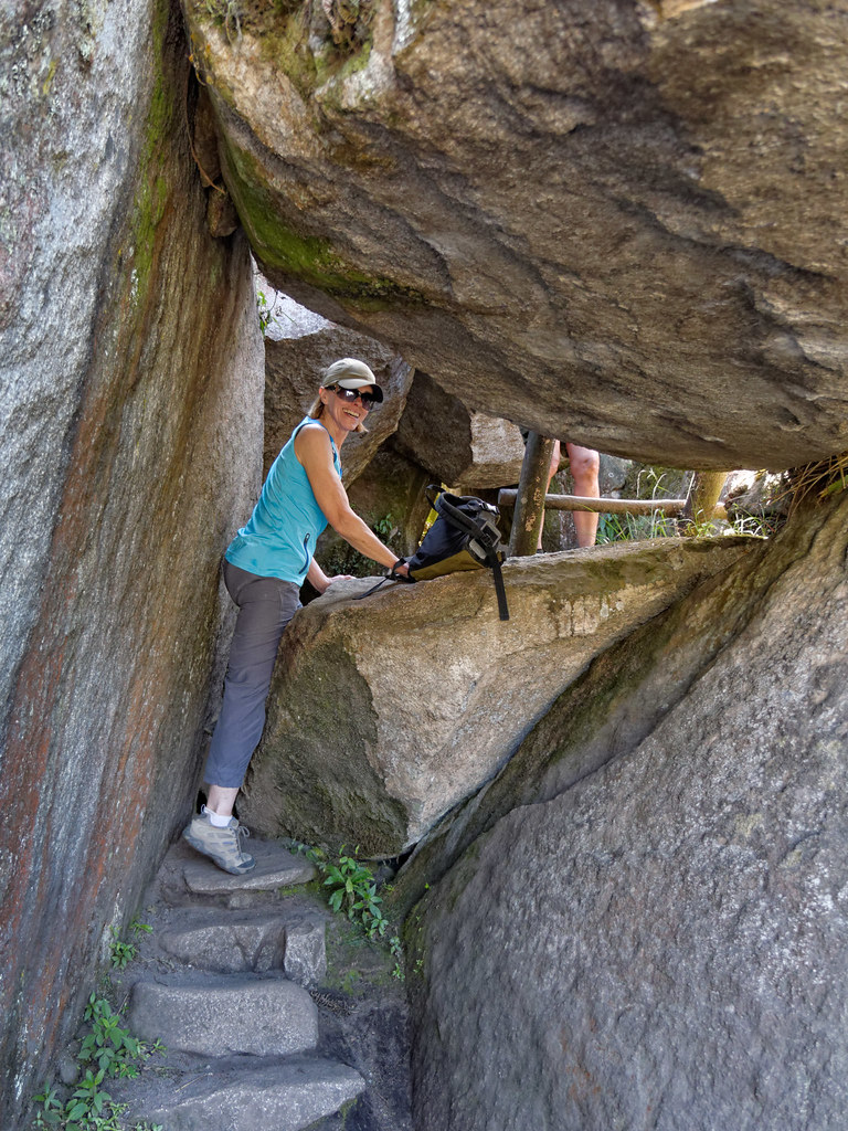
… and up an actual ladder.
But our efforts were well worth it for the views. We could see well up the valley to the rear of Machu Picchu …
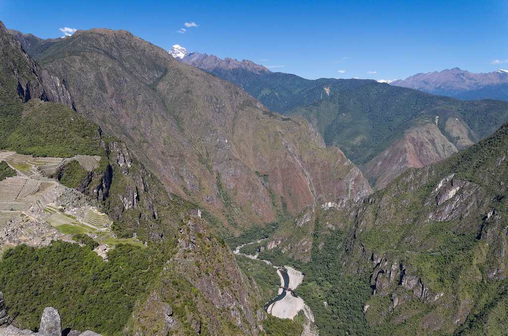
… and the slope to the front of the site where one can see the bus road down to Machu Picchu Pueblo with its many switchbacks. Also visible is Machu Picchu Mountain and a bit of the Inca Trail in the distance toward the upper left in the photo below. Hiking to the top was another option, but we didn’t have time to do both.
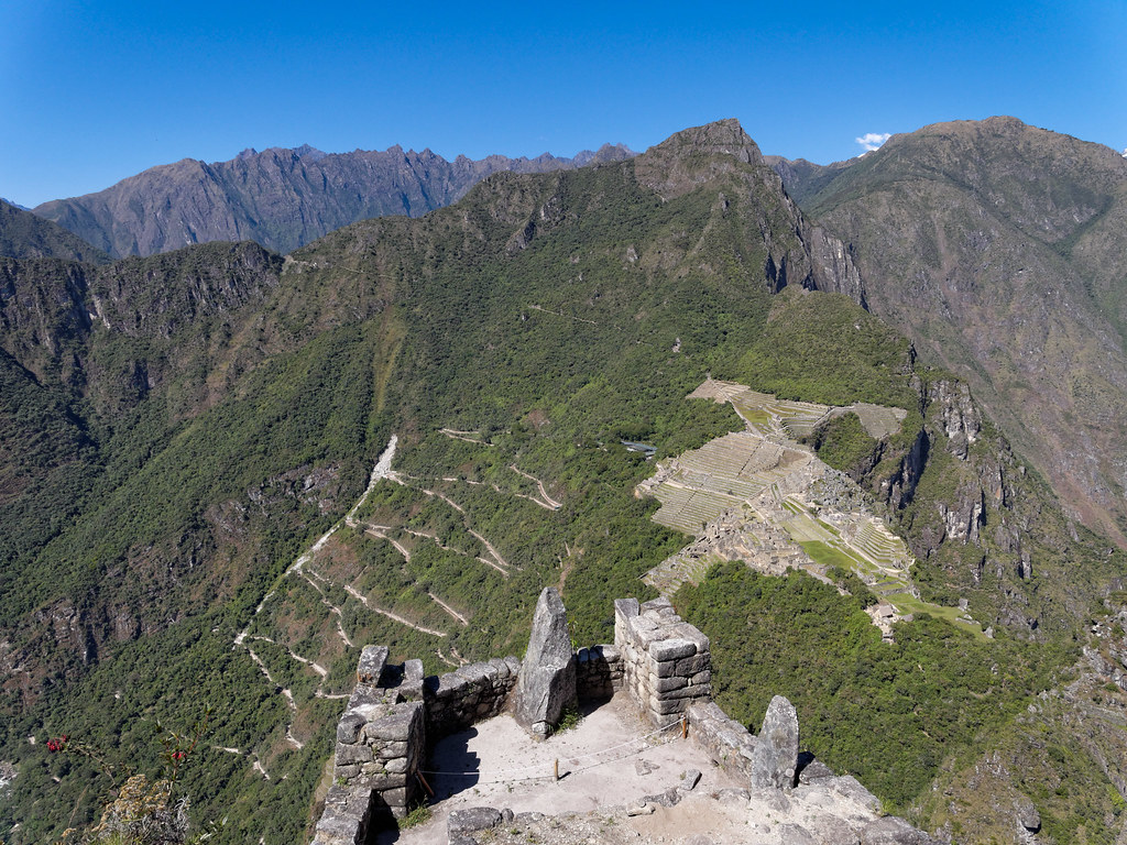
Of course, we could see the ruins themselves. What struck me was how huge the site was and that apparently a significant portion of the ruins was still hidden by vegetation.
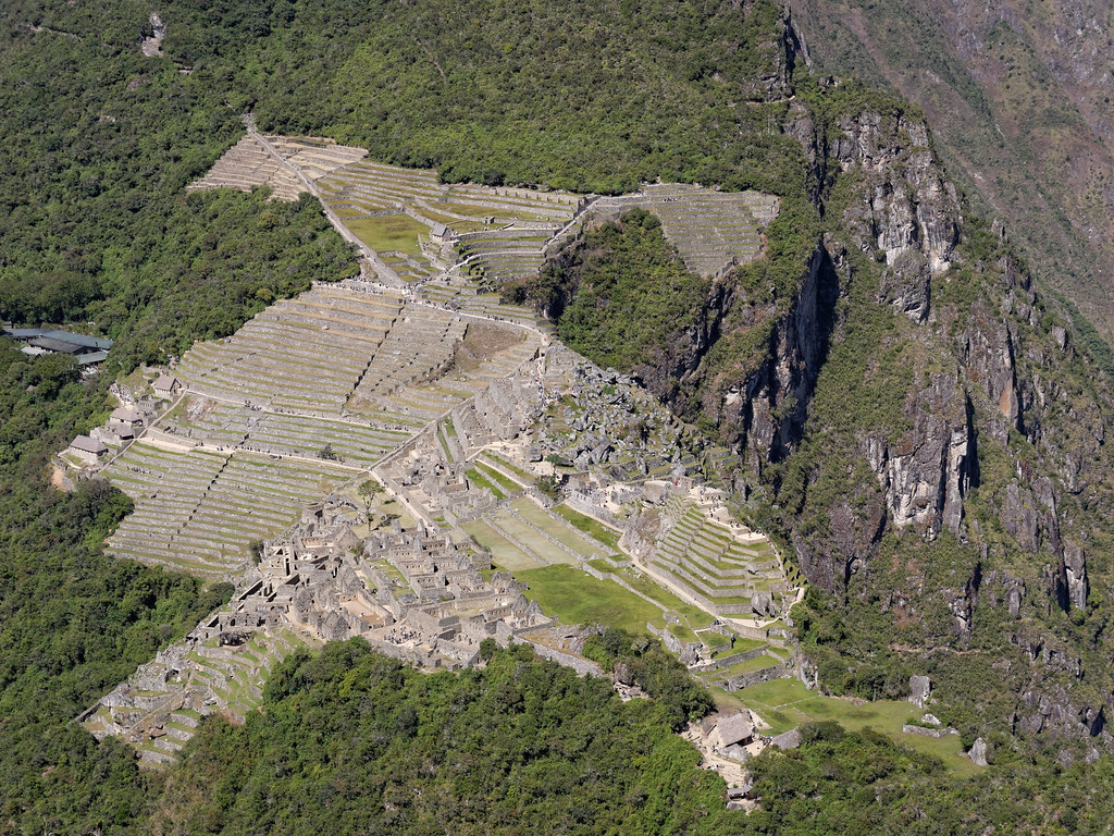
The area at the summit was rocky and quite crowded, so we soon headed down.
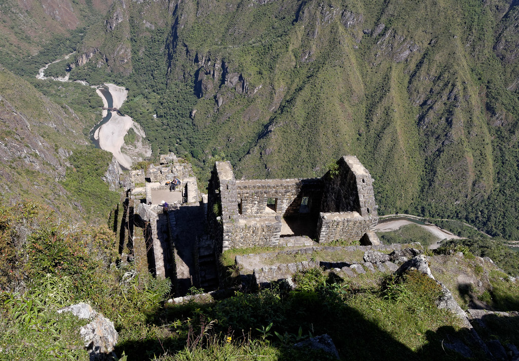
Not surprisingly, to get back down we had to descend stairs.
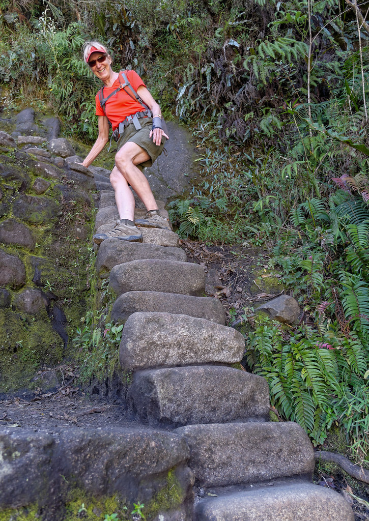
Lots, …
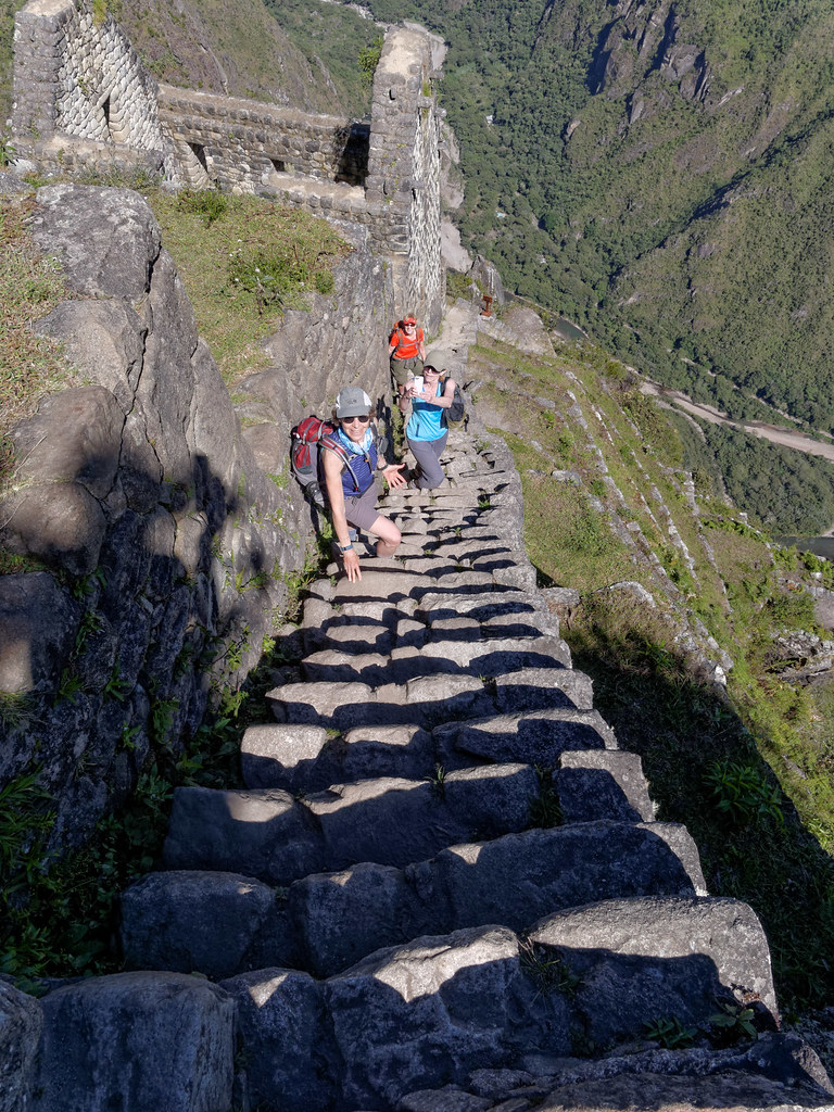
… and lots …
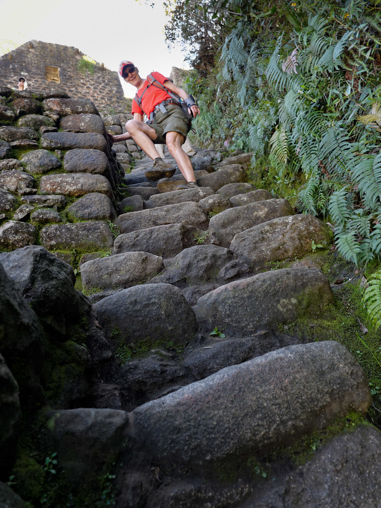
… and lots of stairs.
Machu Picchu can be so crowded that for much of the day it is impossible to not encounter numerous tour groups. John struggled to take any photographs without people in them.
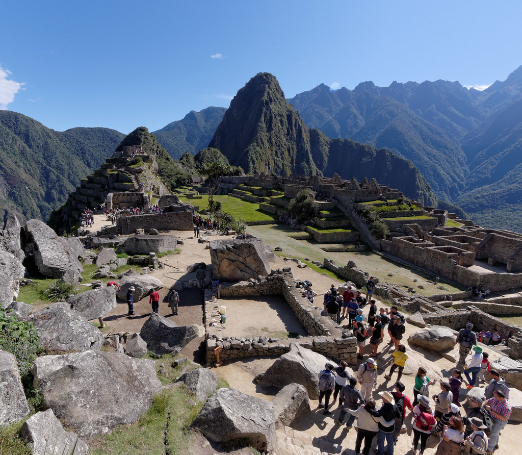
Fortunately, this changed after about 3:00 p.m., when most visitors left, as many had trains to catch for the long trip back to Cusco. John spent the next two hours taking photographs in relative solitude.
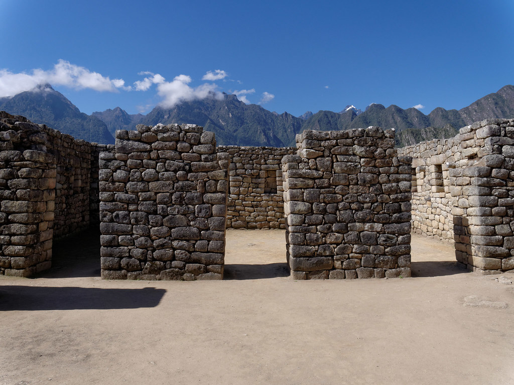
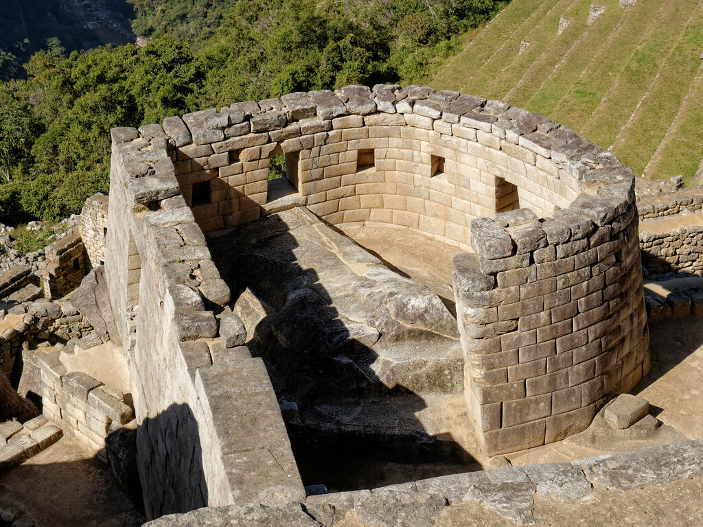
I have read that there is an area known as the Sacred District, which contains three primary structures, the first being the Temple of the Sun, the only rounded structure.
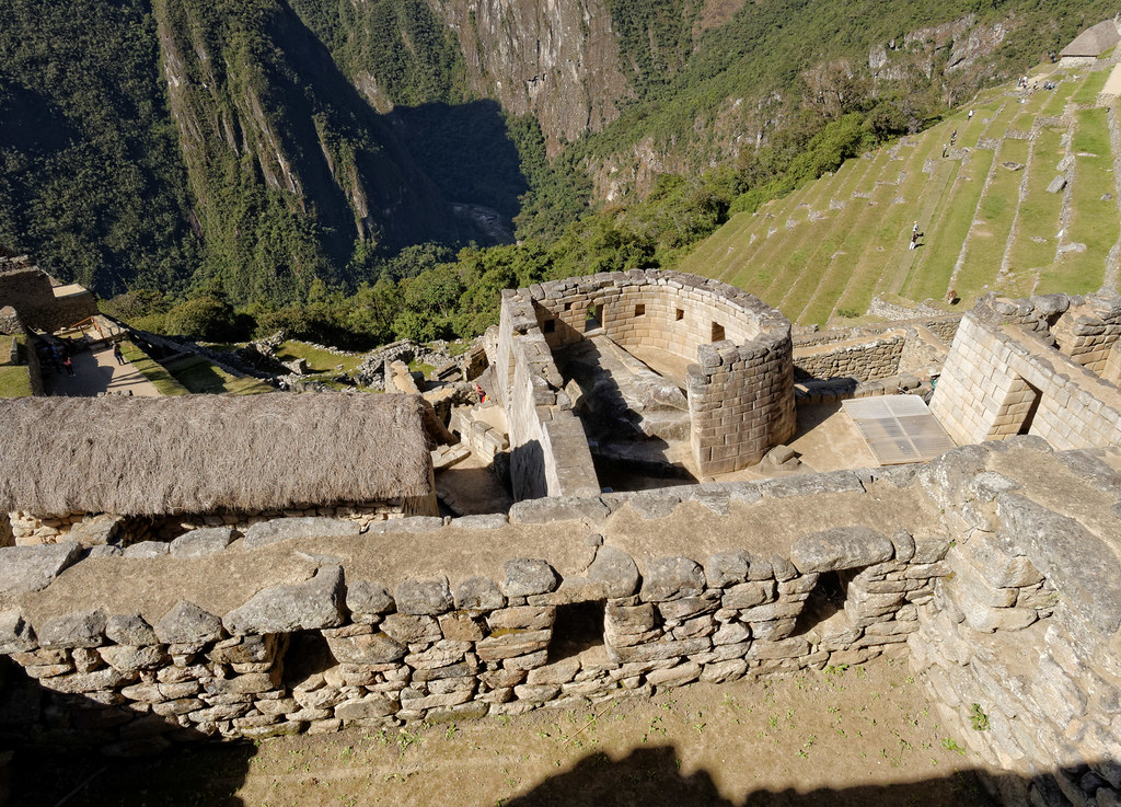
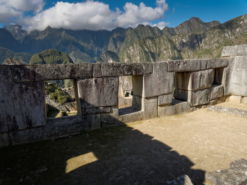
We were told that one theory is that the stone protuberances at the corners of the window in the photo below once held strings that crossed in the middle.
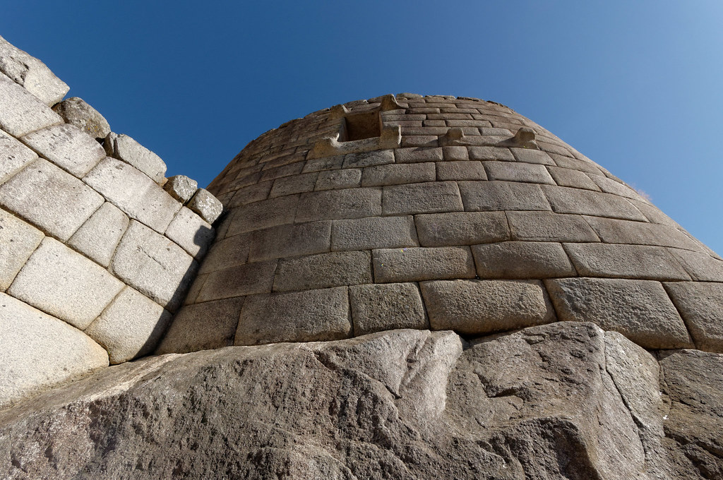
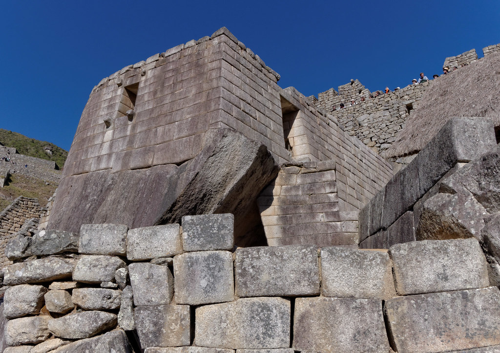
The shadow of the strings cast on the large stone on the floor of the temple helped the Incas to monitor the approach of the winter solstice. In addition, the position of the window is such that at the winter solstice, when the sun clears the distant mountains, it will shine directly through the window onto the Torreon, the large shaped rock within the Temple of the Sun. We were there on the winter solstice but didn’t do what was necessary to be there when the sun cleared the distant ridge. If we had, we would have been disappointed, as we heard clouds had obscured the sun.
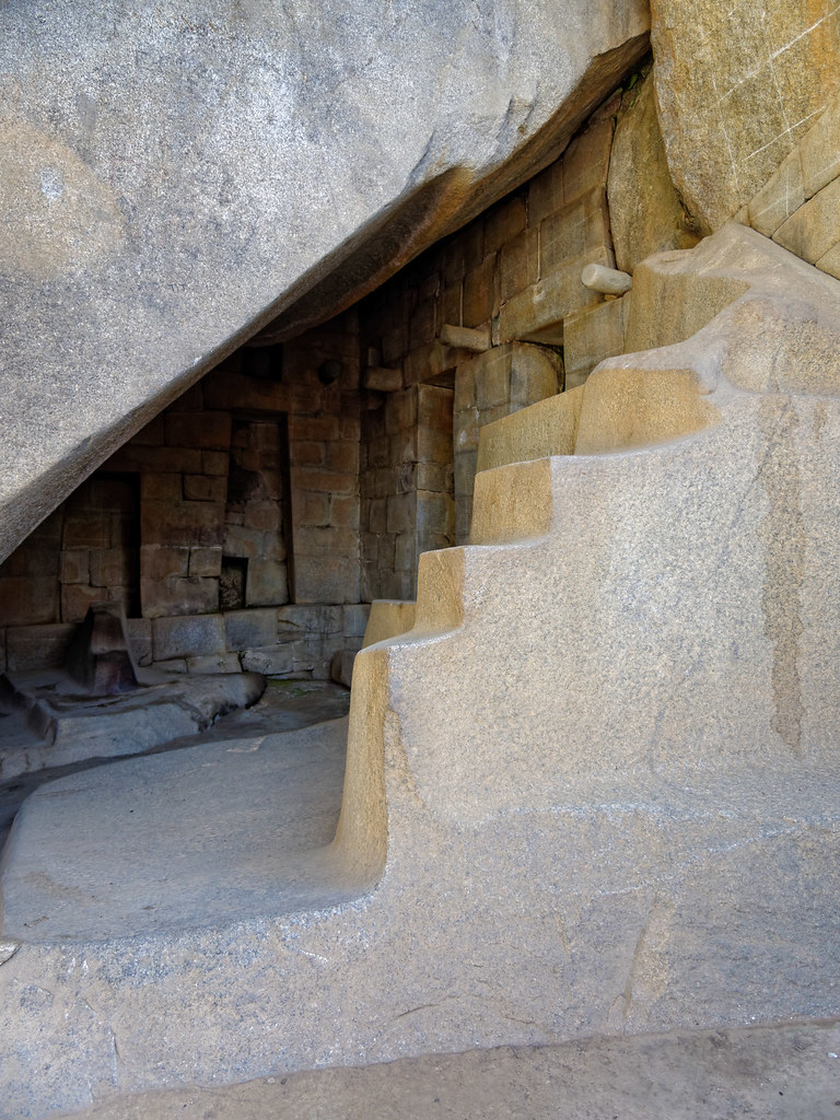
Below the Temple of the Sun is a small natural cave that I have seen described as the Royal Tomb, although, as I understand it, no human remains have been found there.
I have also read that it has been thought to be a temple to Pachamama, the Mother Earth.
Another structure located within the Sacred District is the Temple of the Three Windows.
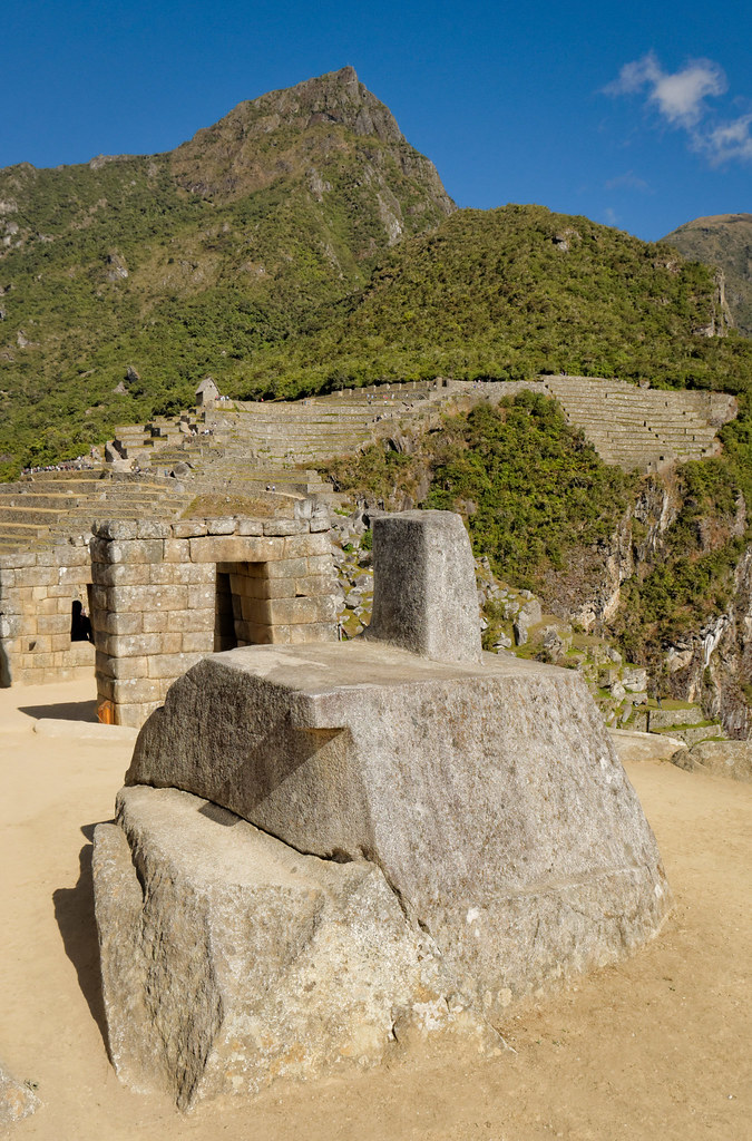
The third structure is the Intiwatana, “Hitching Post of the Sun,” a carved rock pillar whose four corners are oriented toward the four cardinal points. I have read that this rock is carved so that shadows cast on it mark the changing of the seasons. The winter solstice held great importance for the Incas, and in a few days we would be attending Inti Raymi, the “Festival of the Sun,” which is held annually.
Another significant feature is the Temple of the Condor. The natural formation was shaped to represent the outspread wings of a condor.
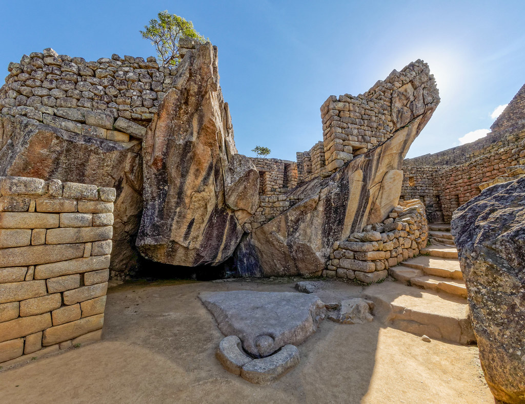
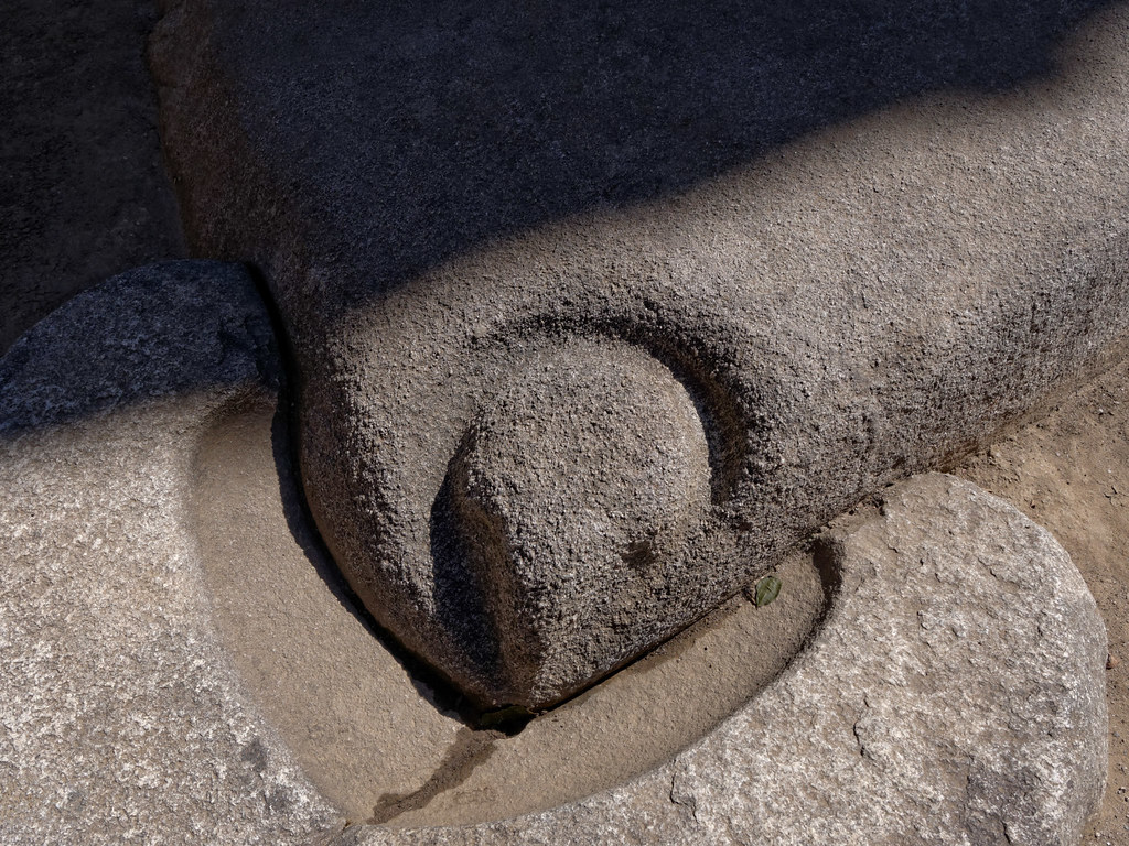
A rock on the floor was carved to represent the head and the beak (John took some artistic license in the above photo by digitally removing the cords surrounding it).
We learned that the king’s residence …
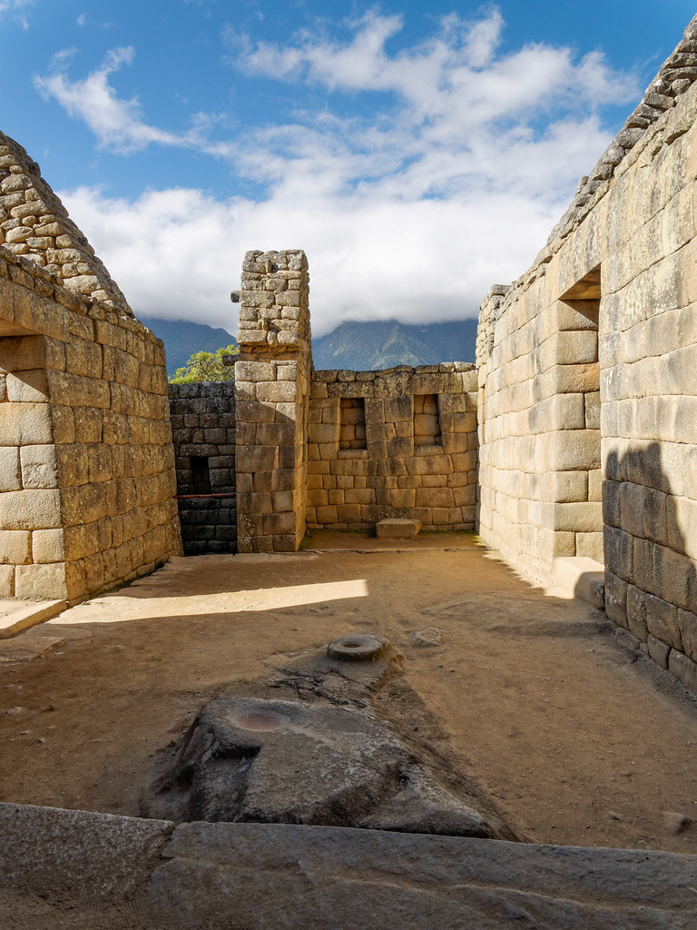
… was the only dwelling with an indoor toilet.

Much of Machu Picchu has been restored, and I have read that some archaeologists have criticized the restoration, suggesting, for example, that some walls have been rebuilt too high.

Despite these concerns, restoration efforts were continuing when we visited.

There is debate as to the true purpose of Machu Picchu. One theory is that it was a site of great religious significance, while another is that it was built as a royal retreat—a country estate, so to speak. But given its location, the carved rock surfaces and structures where the approach of the winter solstice can be monitored, as well as the reverence the Incas held for the sun, I tend to believe that Machu Picchu was much more important than just a place where the king could get away from it all.
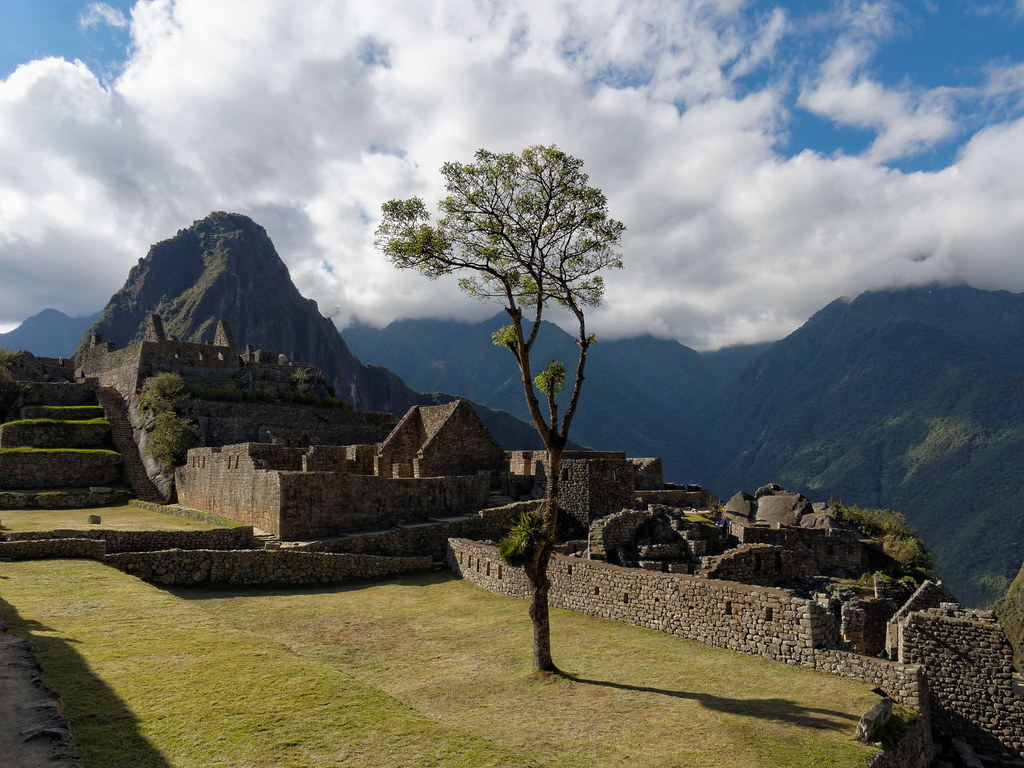
This trip was completely different from our usual backpack trips into the backcountry. But it is an iconic trail to a magical place, and we felt grateful to have had the physical ability to do it.
All photos from this trip are on Flickr.


Leave a Reply