In April of 2008, we did a trip of a lifetime. We spent 14 days, 13 nights trekking up the Khumbu Valley in Nepal. John was 55 and I was 53. We went with REI Adventures.
We had been staying in Kathmandu, so the first thing we needed to do was take a short flight to Lukla where our trek up the Khumbu Valley would begin. The airport in Lukla is frequently closed due to adverse weather and low cloud cover, sometimes for days. We were lucky to be on the first of the two flights that were able to make the trip that day.

This region has no level ground and Tenzing-Hillary Airport in Lukla has been called the most extreme airport in the world due to the high altitude (9,320 feet), the unpredictable weather and the short, sloped runway that has a steep drop-off at one end and a mountainside at the other. It reminded me more of a ski jump than a runway.

After being served the first of many elaborate lunches, we started out on our trek first passing through Lukla.

All we had to carry was a daypack with whatever we needed during the day: clothing, water, camera, etc. The rest of our gear was in duffels that were loaded on Zopkios. These extremely useful animals are a cross between cows and yaks. Apparently, yaks cannot tolerate the higher temperatures of lower elevations.

The trail from Lukla to Namche is THE trade route for nearly all the goods being moved up and down the Khumbu region. The terrain is too steep and rugged for vehicles, and flying it in is both expensive and unreliable due to unpredictable weather conditions. Therefore, most goods are carried on someone’s back, sometimes animals such as Zopkios, but most often carried by some of the hardest-working men, women and children on earth.

We knew that this trek would not be anything close to what we think of as a backcountry experience. This trail is like what US highways were before the interstate highway system was built. It passes directly through nearly every village located within the Khumbu Valley, and in addition to the human delivery trucks, every tourist trekker, mountain climber and their porters use this route.
We quickly became aware of a small gesture we could make to lessen our impact on their daily lives: stepping to the side whenever we encountered porters carrying their heavy loads along the trail. All the individuals in our group were more than willing to do this.

We did this trek in the spring prior to the 2008 Summer Olympics in Beijing and just happened to be there during the time period when the Olympic torch was being carried up Mount Everest on the Tibet side. In an effort to prevent any “Free Tibet” activity, all routes up Mount Everest on the Nepal side were closed beyond Everest Base Camp per a request made by the Chinese government. Nepal, we were told, is well aware of its position as a small country located between two much larger ones.
Therefore, armed guards searched all trekkers’ daypacks at two separate locations. Hopefully, this satisfied the Chinese government. However, it would not have been enough to prevent any of us from bringing in any forbidden paraphernalia as none of the duffels containing most of our gear that were strapped to the backs of Zopkios were searched.

On that first day, we descended into the Dudh Koshi River valley …

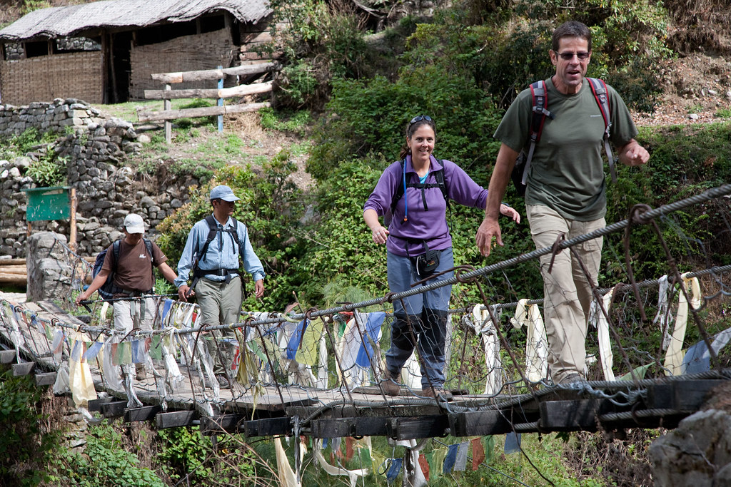
… and the trail crosses back and forth over the river multiple times. We were extremely grateful for the great number of substantial suspension bridges. We were told they had been built by the Swiss, and I’m assuming this means Swiss mountain-climbing teams.
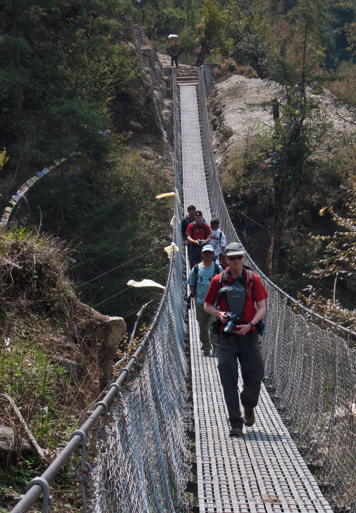
I don’t want to sound ungrateful, but I wouldn’t have minded if they had replaced just one more.
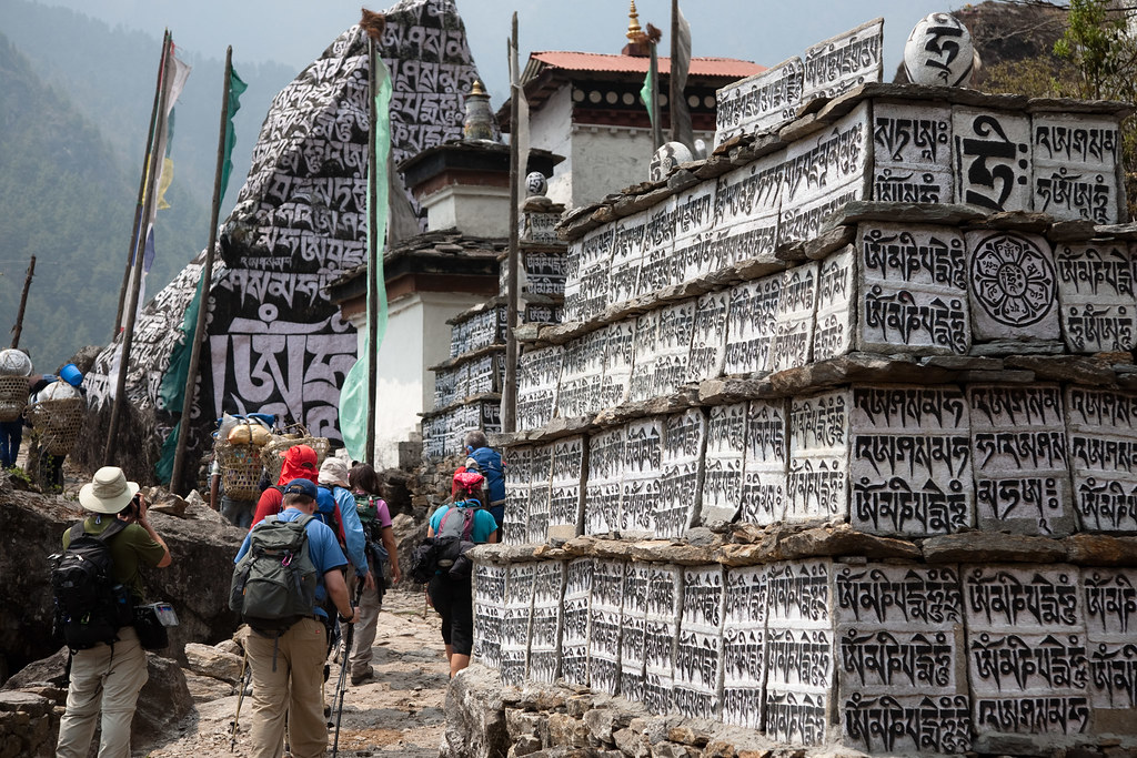
Throughout the trek, we would pass countless mani (prayer) stones and we were told that the proper way to pass them was by going around them in a clockwise fashion.
We actually lost elevation that first day going from Lukla at 9,320 feet to our first camp in Phakding at 8,560 feet. We would be staying in spacious tents for the entire trek, but our camp would often be set up adjacent to a teahouse. We were then introduced to the luxuries we could expect to magically appear at our tent twice a day: hot tea and a basin of hot water to wash in.

On the second day of our trek, I experienced intense mixed emotions. I had so wanted to see the Khumbu Valley and the Himalayan Mountains. However, I couldn’t help but notice the negative impact that our presence had on the lives of people who live and work along the route. They were obviously burned out with tourists; we clog the trail, take their picture without asking and give candy to their children.
Perhaps the worst offense is that we assume we have a right to use privately owned toilets, which were never designed to handle the hundreds of people who use them. Generally speaking, these toilets are located within small wooden or stone buildings, built on either a slope or on stilts, with a hole cut in the floor with a pile of vegetative materials: leaves, needles, etc., heaped on the ground below. These structures are typically located not far uphill from the Dudh Koshi River, which supplies water to countless people living downstream.

If we needed to use their facilities, we were encouraged to purchase something from their shop. The modest price of a Coke, a Mars Bar, or some Pringles seemed like an extremely small price to pay. But unfortunately, many tourists were unwilling to do even that. I would love to see a cooperative effort by all tourists and climbers to fund the construction and maintenance of environmentally safe composting toilets. Personally, I would have been happy to pay an equitable fee to use them as one can eat just so many Pringles.

We continued on the trail following the Dudh Koshi River upstream …

… past lush fields (it was suggested that we enjoy the sight of green while we could).

We had been warned that the final approach to our destination for the day would be challenging as we needed to gain 2,000 feet over 1.5 miles at increasing altitude in order to reach Namche Bazaar, situated at 11,285 feet.

We were all relieved to finally see the official entrance to Namche Bazaar, the largest Sherpa village. It is an amazing sight to see how they have managed to build such an impressive settlement in an area with no flat land.
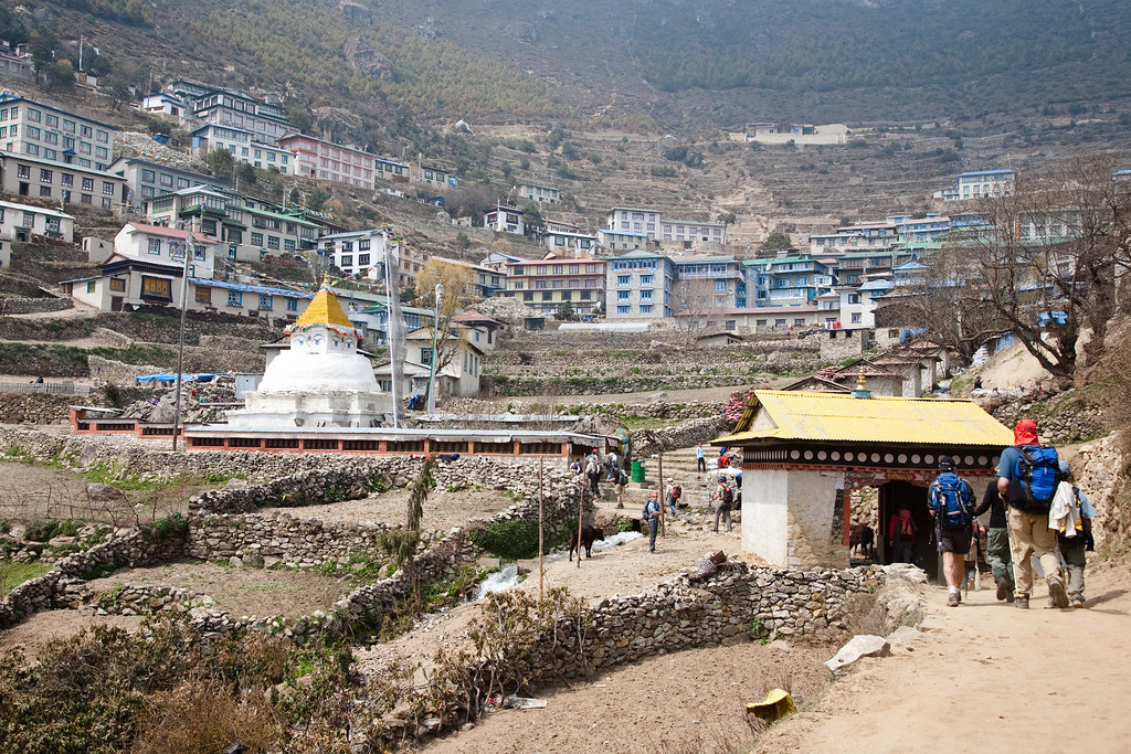
Every trekking group passes through Namche’s narrow streets. In addition, it is the primary staging area for all Everest expeditions from the Nepal side.

Once again, our tents were set up adjacent to a teahouse.

Whenever we camped near a teahouse, we were served our meals in comfortable dining rooms. Like I said, it is not a backcountry experience.

We spent two nights in Namche to help us become more acclimated to the altitude before ascending any higher. We followed the climbers’ adage “climb high and sleep low” by doing a day hike the next day up the steep trail above Namche Bazaar …

… as far as the Everest View Hotel, gaining 1,250 feet.

This provided us with our first views of prominent mountains including Taboche (20,890 feet), Lhotse (27,605 feet) and Ama Dablam (22,493 feet) as well as the very tippy top of Mount Everest (29,035 feet) just visible in the very far distance.

We left Namche Bazaar the following morning and looking back provided a view of Nupla and the three summits of Kongde Ri: Shar, Lho and Nup, in the distance.
At these higher elevations, we saw our first yaks.

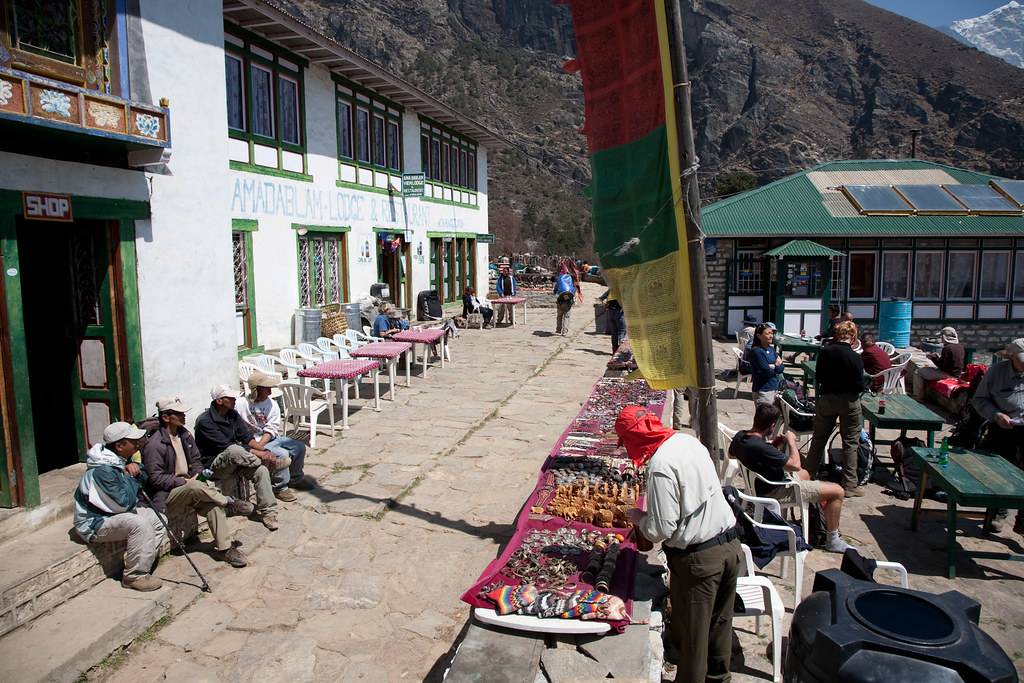
The trail continued to pass through villages with opportunities to rest and spend money.
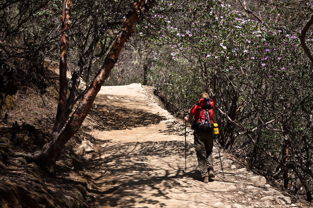
We temporarily left the standard trail, taking instead one that passed through a lovely rhododendron forest.
Once through the forest, the trail continued up with improving views of significant peaks such as Taboche (20,890 feet) …
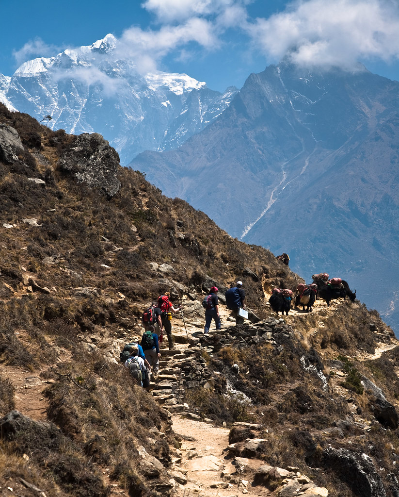
… and Ama Dablam (22,493 feet).

The trail then descended toward the Dudh Koshi River near the remote village of Phortse Tenga where we would camp for the night (12,100 feet). On the way down the trail, we got a view of the terraced fields of Phortse, a village on the other side of the valley that we would pass through on the following day.

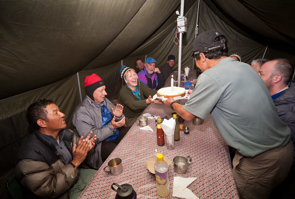
This camp was not set up adjacent to a teahouse, so our morning and evening meals were prepared, as well as served, in large tents. Our cooks worked miracles producing a wide variety of dishes using only pots on kerosene stoves. That day happened to be my 54th birthday, and I was greatly surprised to be presented with a delicious birthday cake, complete with frosting. I couldn’t imagine how our cooks could bake a cake in the heart of the Himalayas with nothing but a kerosene stove. John later learned that it involved a large pan filled with hot rocks. Amazing!
We thoroughly enjoyed views of mountains, such as Thamserku (21,680 feet), on the way to our next camp.

I was especially impressed by the sight of the terraced land that has been laboriously constructed by farmers in this mountainous region.

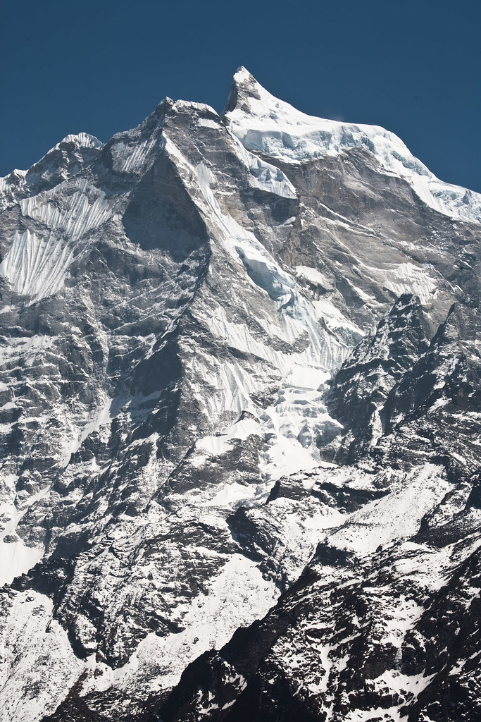
Our camp was located near Pangboche (12,895 feet). The incredible view provided us with even better views of notable mountains including …

… Ama Dablam (22,493 feet), with its unusual hanging glacier, …

… and Kantega (22,254 feet), which boasts an intricate summit.
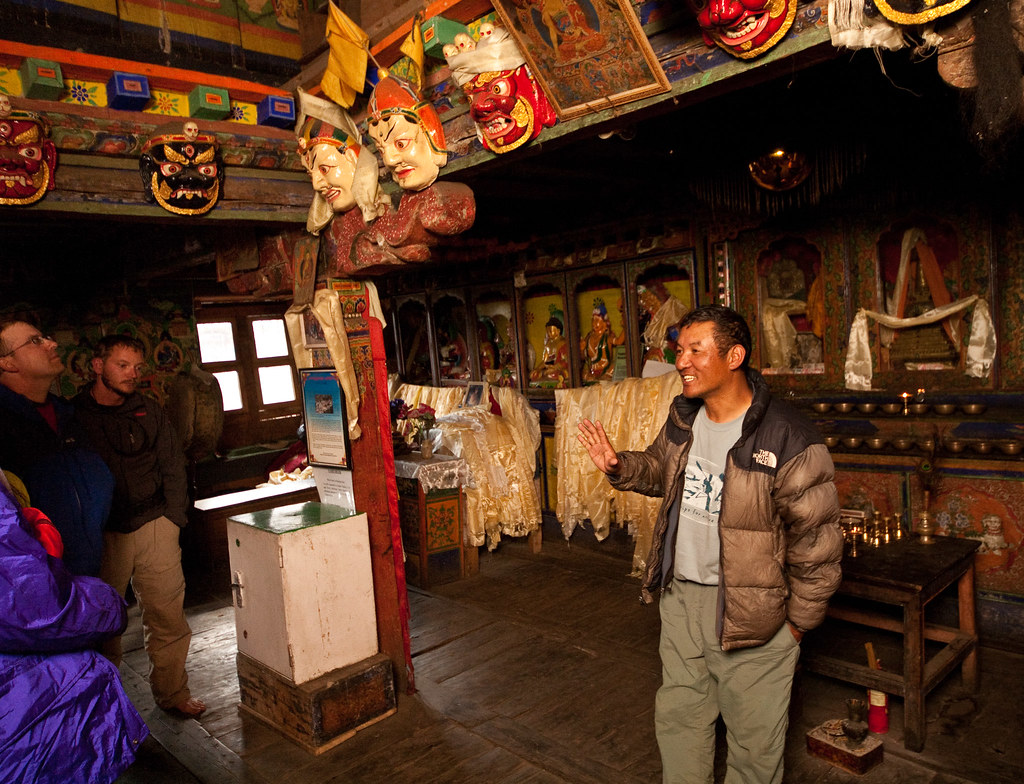
It had been a short trekking day, which enabled us to visit the nearby Pangboche Monastery.
The next morning, we continued to hike higher, this time along the Imja Khola River, passing through more, but smaller, villages.

Our destination for the day was Dingboche (14,550 feet), the highest permanent Sherpa village in the Khumbu Region.
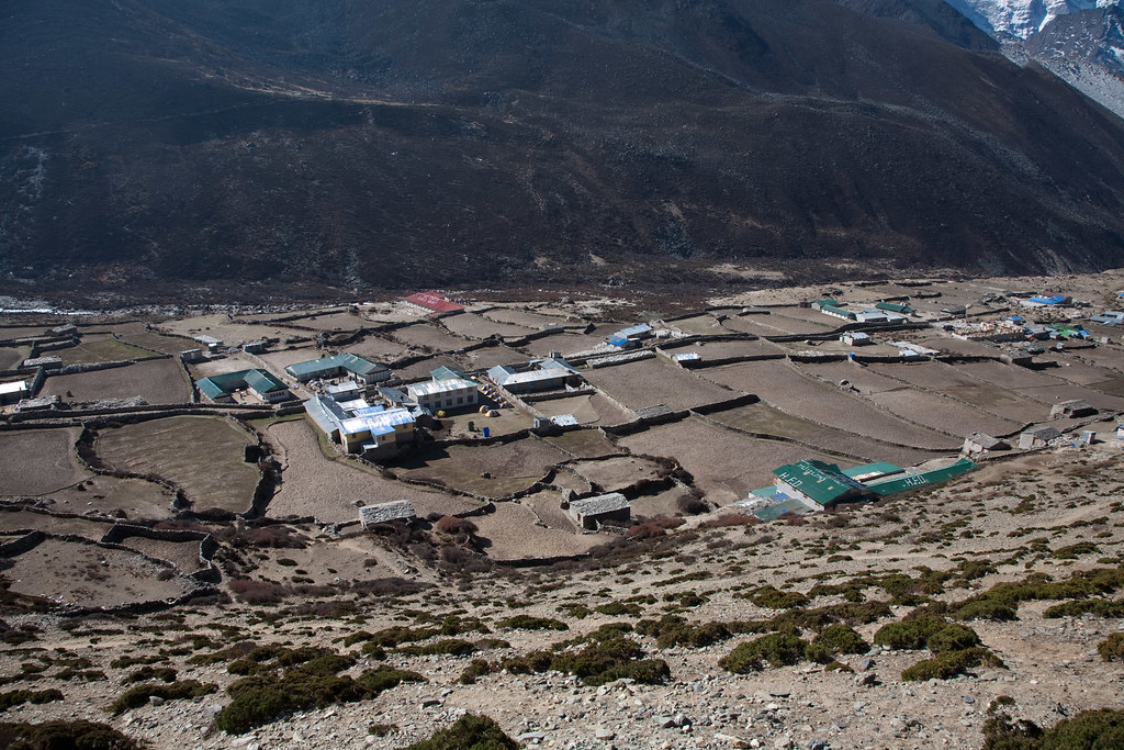
We had a lovely view of Taboche (20,890 feet). We had become accustomed to seeing gompas, but I marveled at how they have survived the harsh climate.

We spent two nights in Dingboche in order to do another acclimatization day hike before ascending further. This enabled us to get a view up the Imja Khola River valley to distant mountains we would otherwise not get to see.

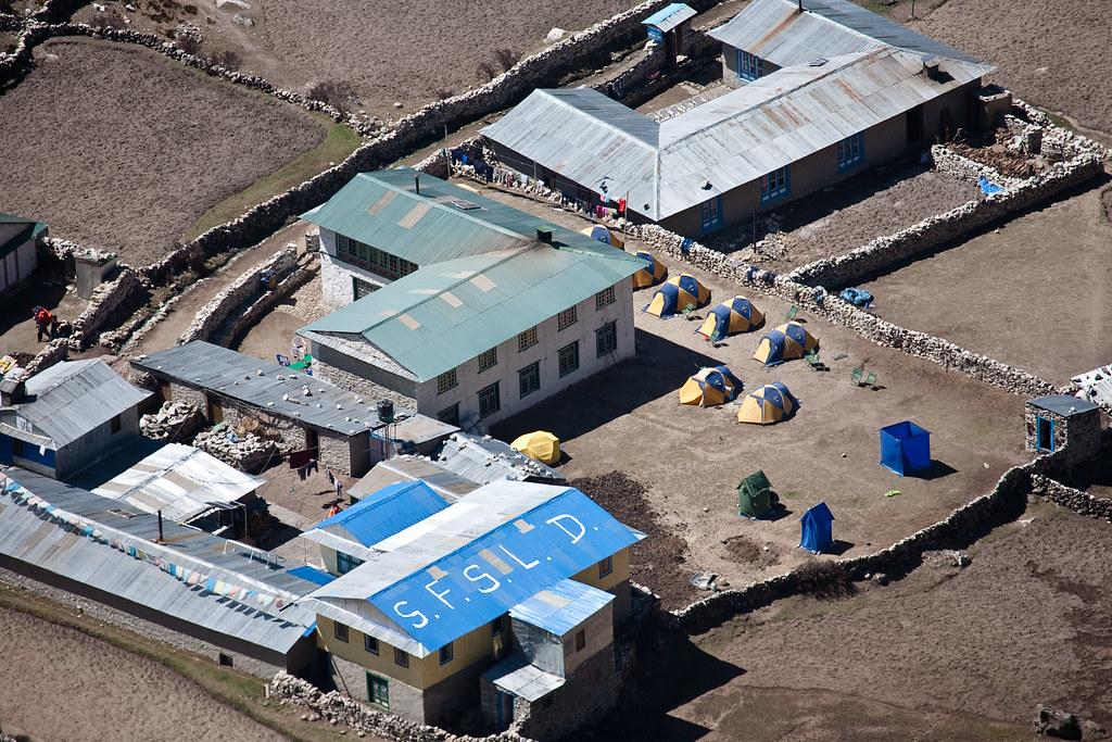
As we descended from our day hike, we welcomed the sight of the blue shower tent (visible in the lower right-hand corner of the photo below). We had been trekking for a week and a shower would be a real treat. The small blue and green tents to the left of the shower tent are toilet tents (also known as happy tents). We were provided with these much-appreciated facilities, consisting of comfortable seats situated over holes dug in the ground, at nearly every place we camped.
When we left Dingboche, we traversed the Pheriche Valley before ascending to Thokla Pass past the toe of the Khumbu Glacier.
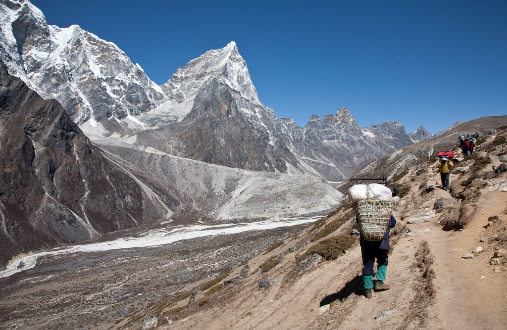
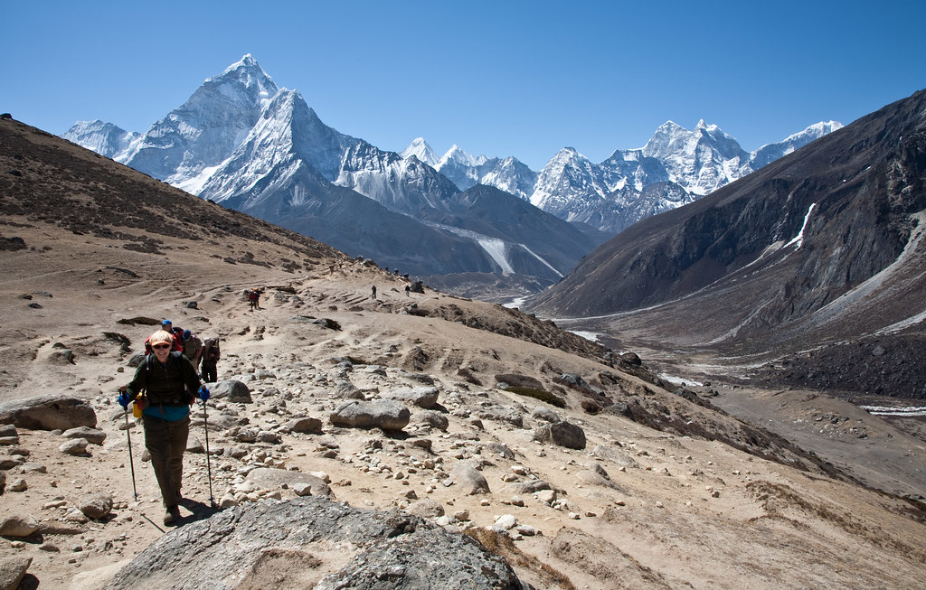
Looking back, we had the opportunity to see familiar peaks but now from different angles. We could now see Ama Dablam’s neighbor, Amphu Gyabjen (18,471 feet), which had previously been obscured. When hiking in such huge mountains, it is difficult to feel like you are making any forward progress, but this really helped give us a sense of how far we had actually come.
It was common for us to be served an elaborate hot lunch every day on the trek. Each morning, while some of the cooks and porters prepared and served us our breakfast, others would leave our camp before daybreak in order to have our hot lunch ready for us when we arrived. It never ceased to amaze me how high the level of service was that these hardworking fellows provided us in such remote locations.

Our destination for the day was the trekkers’ outpost of Lobuche (16,110 feet). Our camp was set up below the impressive peak, Lobuche (20,075 feet).
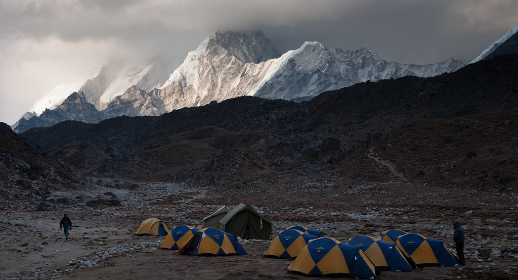
The weather was beginning to deteriorate. The following day, we would be trekking to our highest camp at Gorak Shep (16,865 feet). Once there, we had the option of doing two different day trips: one to the top of Kala Pattar (18,510 feet) for the best view of Mount Everest and one to Everest Base Camp. The decision was made to leave our camp at Lobuche quite early in the morning and try to get to the top of Kala Pattar before the clouds moved in. The hike to Everest Base Camp could be done the following day, weather permitting.
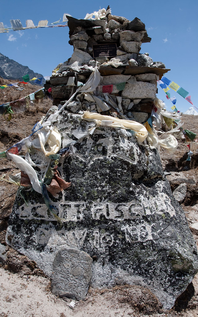
So, we all got up early and hit the trail. On the way, we were confronted with some sobering reminders of the dangers involved in climbing the world’s highest mountain: countless chortens built in honor of dead climbers.

One chorten stood out, that of Scott Fischer, who was one of the eight climbers who died in what is called the 1996 Mount Everest disaster. It got me thinking about another climber who died that day, Doug Hansen. He had worked in our local post office and our son’s elementary school had done a fundraiser to help finance this climb. I proudly wore my “Doug Hansen supporter” T-shirt! I was helping out at school the morning the principal received a call from Doug (via satellite phone) while he stood on the summit. We were all so happy for him! However, a few hours later, we heard the tragic news that Doug was one of eight climbers who had died.
We continued to our highest camp at Gorak Shep. The highest point of the trek was the summit of Kala Pattar (18,510 feet), the unimpressive-looking brown mound to the left.

While John made it to the top without a problem, I was very disappointed to not be able to go. I was experiencing some altitude-related health issues.
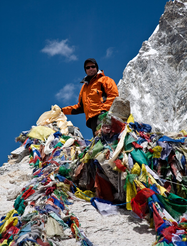
There was a 67-year-old fellow in our group who did make it to the top, and I was happy for him. He inspired me!

Being on Kala Pattar provides the best views of the top of the Khumbu Valley and the surrounding mountains including Changtse (24,747 feet), Lho La (19,770 feet), Mount Everest (29,029 feet) and Lhotse (27,940 feet).

Of course, Mount Everest is considered the star of the show but it was surprising to see so much bare rock rather than a snow-covered peak. Less snow and more loose rocks make it more dangerous for climbers.

However, just because Mount Everest is the highest mountain in the world doesn’t mean that her nearby little sisters are not worthy of attention. I personally found Nuptse (25,791 feet) to be far more attractive than Everest.

In addition, I also think Changtse (24,747 feet) is underappreciated. How many non-climbers have heard of any of the mountains, other than Mount Everest, in the photos within this post? I’m ashamed to admit that prior to our planning this trip, my answer was not me.
If you look closely, you can just barely see Everest Base Camp in the lower left-hand corner of the photo below.

That night was the coldest we had experienced with temperatures within our tents getting down to about 20 degrees. The weather remained unsettled, and decisions needed to be made by all: either hike to Everest Base Camp or descend directly back to Lobuche, our next camp. The four youngest members of our group plus John decided to make the trip to base camp while the rest of us descended. Once again, I was disappointed to not have made the most of this rare opportunity, but one doesn’t mess around with altitude sickness.
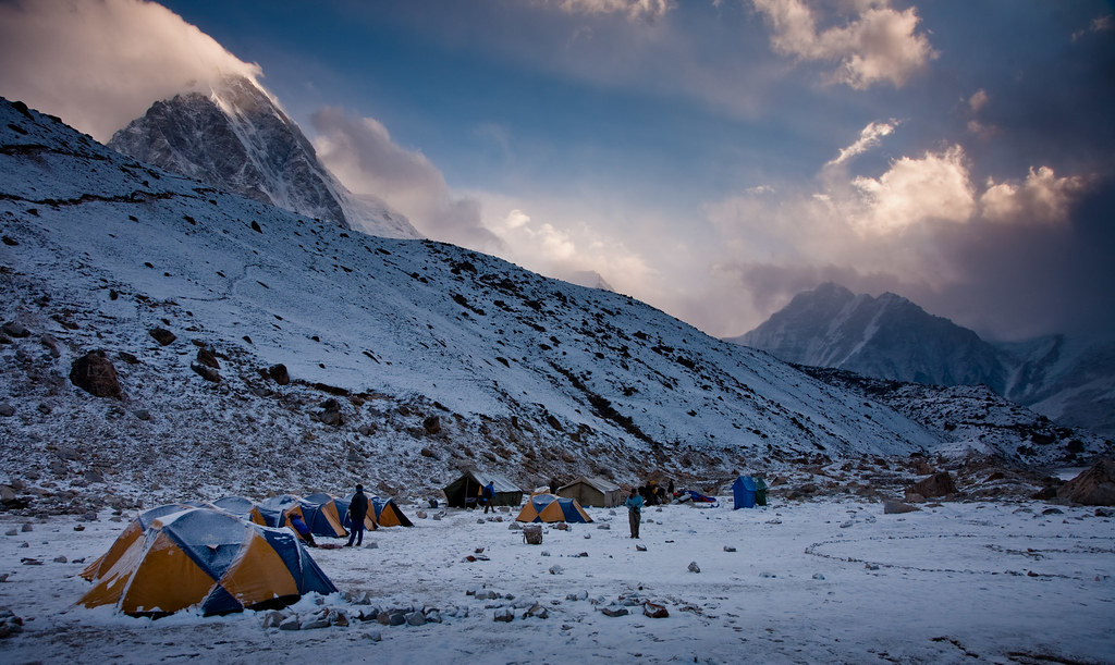
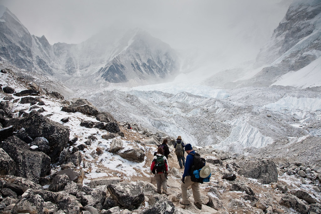
The route to Everest Base Camp was rough and rugged and unfortunately, the weather had continued to deteriorate.
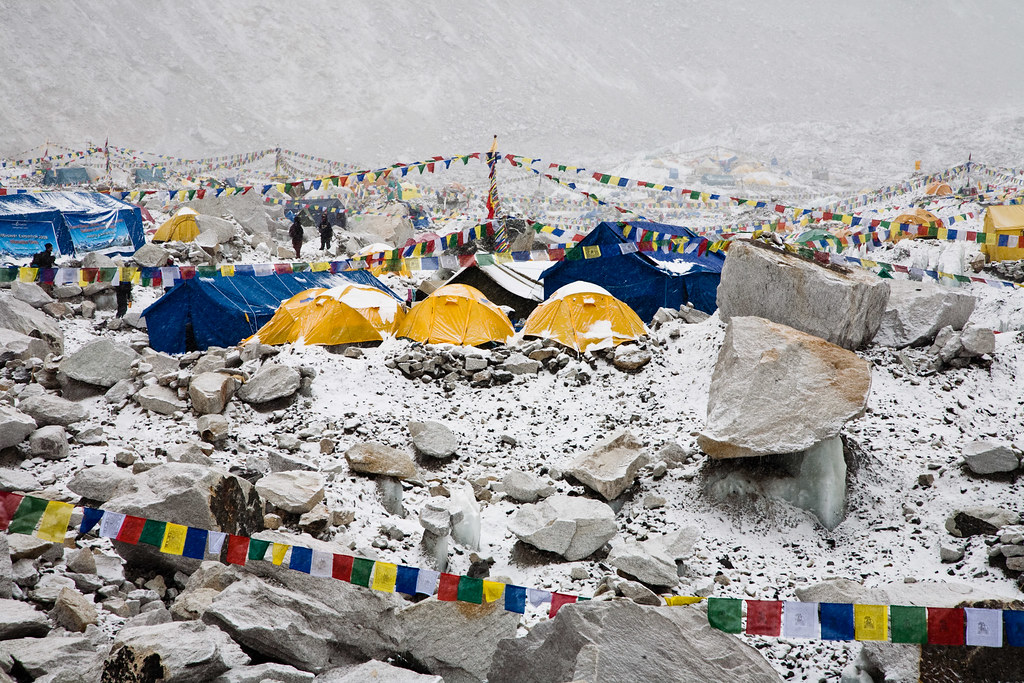
Once they finally reached Everest Base Camp, the weather was abysmal. All of the climbers were wisely hunkered down in their tents and must have been feeling a bit disgruntled. All routes up the mountain were still closed as the Olympic torch team climbing from the Tibet side of the mountain had been delayed.
We camped that night at Lobuche and were happy to see clear skies the next morning. As we were now descending, we were able to cover more miles each day, so our trip out would be much shorter.
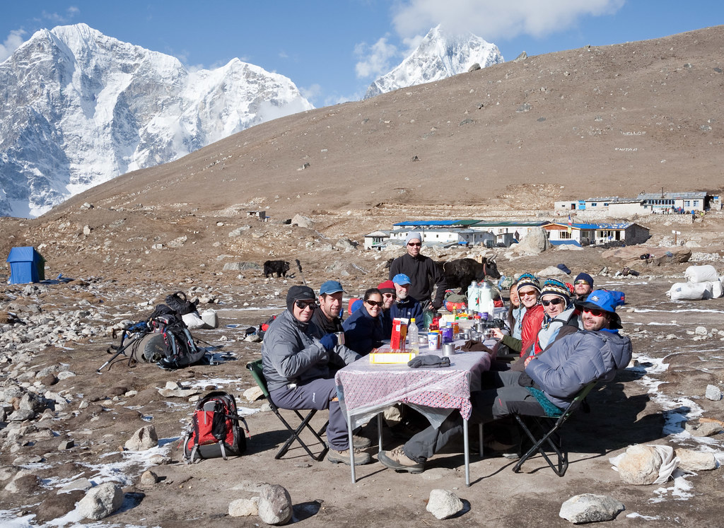
After we descended several thousand feet, I was relieved to now be free of any altitude illness symptoms. Oxygen is wonderful stuff!

We continued to descend and thoroughly enjoyed our first sight of green as well as views of Ama Dablam (22,349 feet) and Amphu Gyabjen (18,471 feet).

We stopped briefly in Pheriche and visited the Himalayan Rescue Association clinic, an important medical facility for trekkers, climbers and local people that is staffed by volunteer physicians.

As we continued to descend to our next camp, we encountered some rain and got wet. But it wasn’t a problem, as our camp was once again set up outside of a teahouse. We all appreciated having a warm, dry place to sit and dry our clothing.
The highlight of this day was meeting an adventurous group of silver-haired ladies from New Zealand who were trekking together. This group included one who was 85. More inspiration! As we hoped to visit New Zealand one day, John happily engaged some of them in conversations about their country.
The next morning was dry, and we visited Tengboche Monastery before continuing our descent.
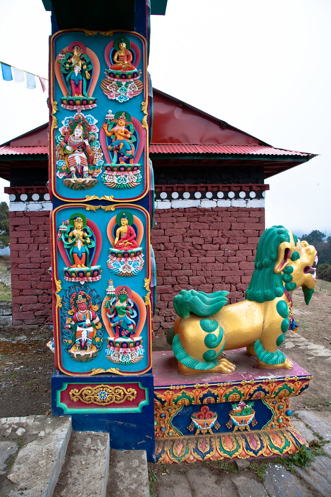
Once again, we passed through lovely rhododendron forests.

However, we did make a point to look back in order to get those last looks at the incredible mountains, such as Lhotse, that had been our constant companions for the previous week.
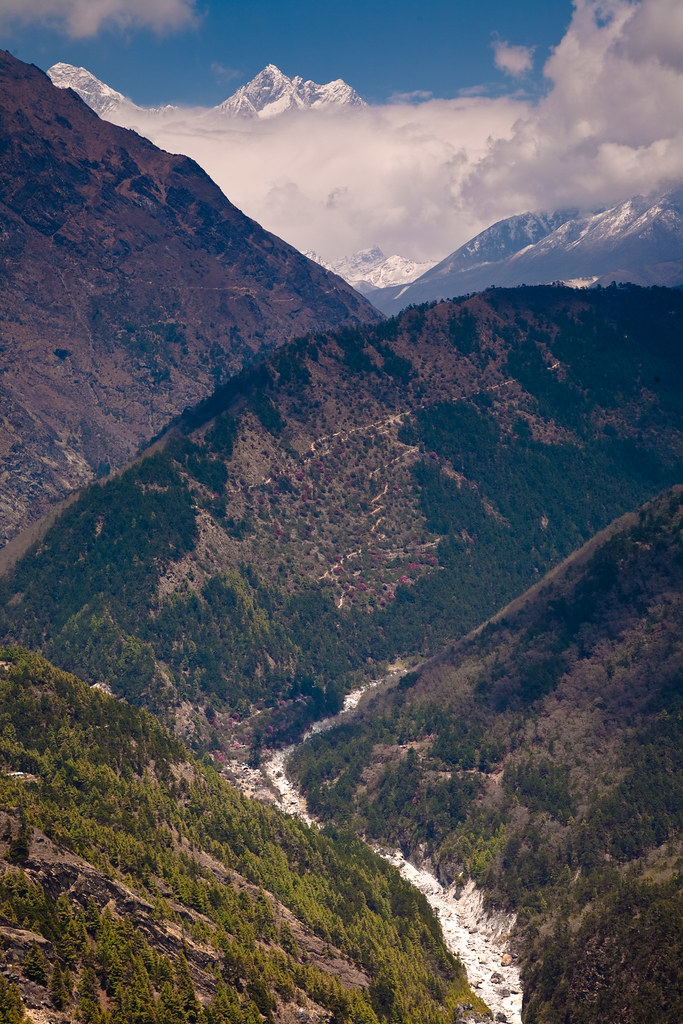
The lower we went, the better the trail became and the faster we walked. We were all motivated by the fact that we would be back in Namche that day and had been told that hot showers awaited us.

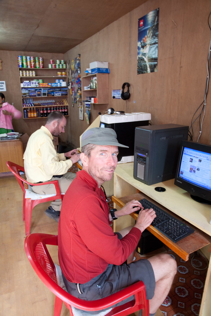
However, the first thing that John and I wanted to do when we got back was visit the local internet cafe …
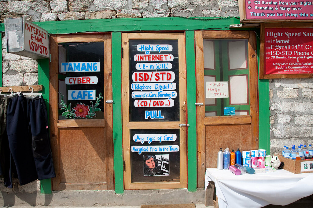
… and email both of our sons.
Our next stop was the local barber, where John got an impressively close (and bloodless) shave with a straight razor. We also observed several of the porters from our group waiting their turn.

The next morning, we left Namche Bazaar and descended back to Phakding where we had camped our first night. Once again, we appreciated the substantial suspension bridges that crossed back and forth over the Dudh Koshi River.

We arrived in Phakding rather early in the day and Larry, an inventive member of our group, organized a game of blackjack using small rocks as currency. Having never played blackjack, I was surprised how long it took me to run out of rocks.

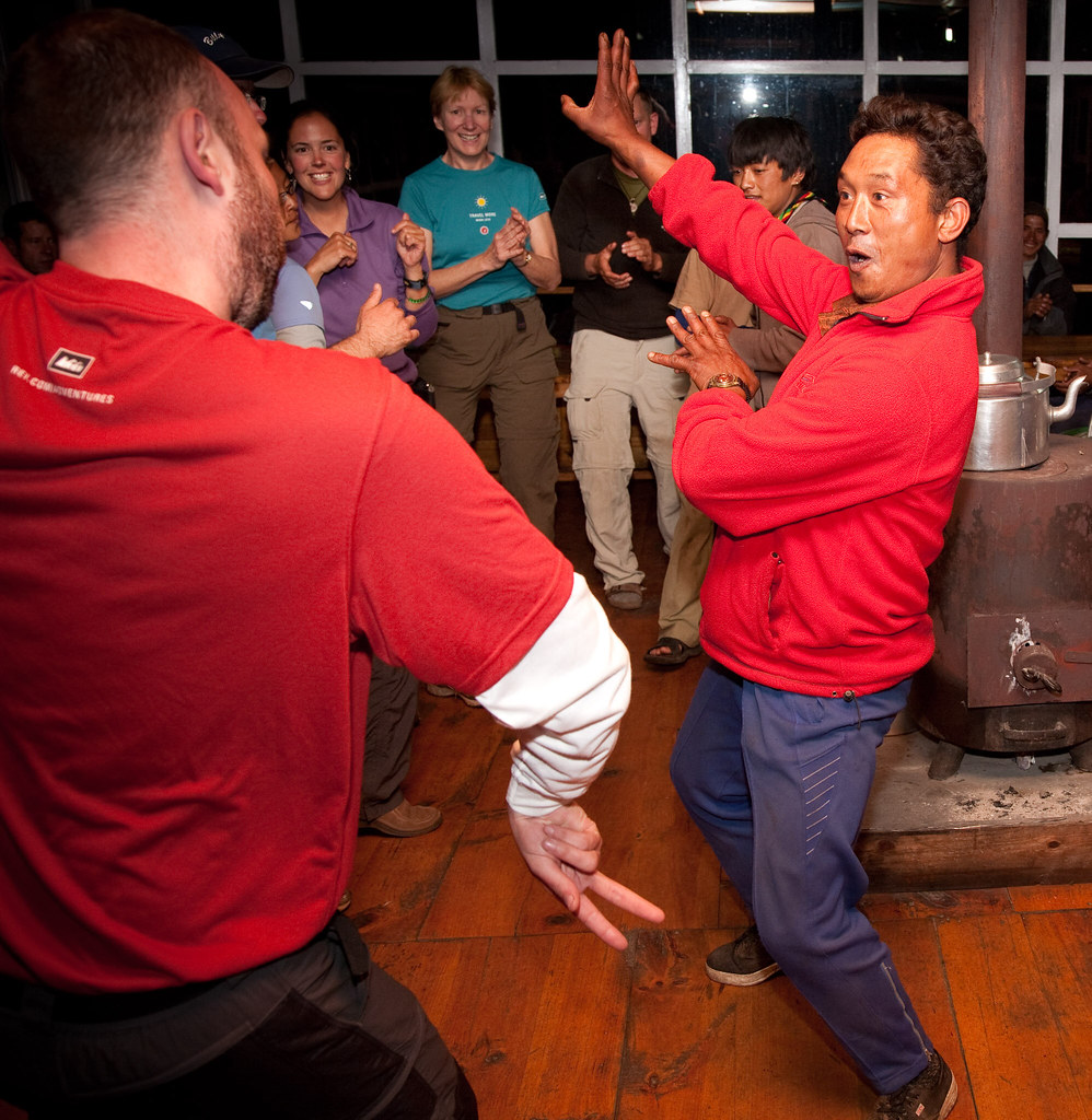
That night, we had a party that included dancing (with some help from the local alcoholic beverage) as well as singing by the guides, cooks and porters.
The following morning, we did the final leg of our trek along the river …
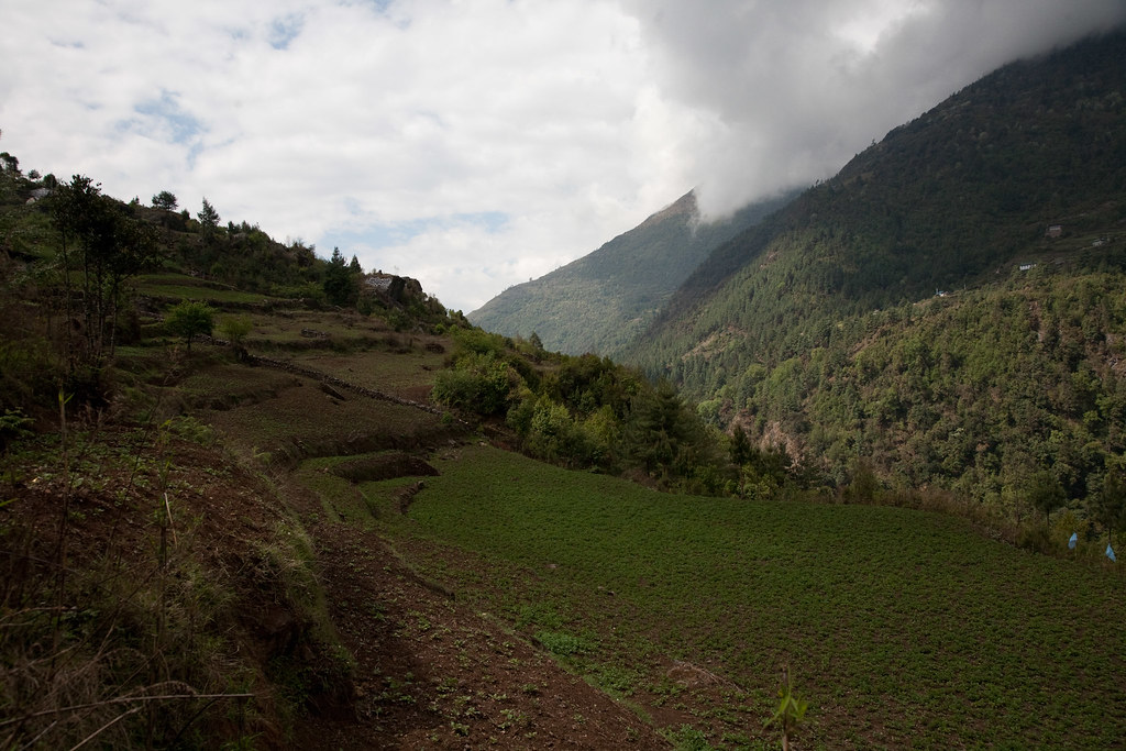
… until we reached Lukla.

Once we were back in Lukla, our trek came to an end. We would soon be saying good-bye to our fellow trekkers. We could not have asked for a better group to share this journey.

This was truly a trip of a lifetime. It is a part of the world we had talked about visiting, and we feel honored to have had the opportunity.
All photos from this trip are on Flickr.


Leave a Reply