In March 2014, we backpacked the Lost Coast Trail in Sinkyone Wilderness State Park, California. John was 61 and I was 59. It is one of the few areas along the California coast that is not accessible by roads and highways. The rugged nature of the area simply made it too difficult to develop, so Highway 1 veers inland around it.
We would have preferred to do it as a through-hike, but unfortunately the access roads to the trailheads were too narrow and winding for us to take our motorhome down to self-shuttle. Our plan, then was to do two out-and-back trips.
We started at the Usal Campground located near a beach. The trail climbed out of the valley to cross a headland …

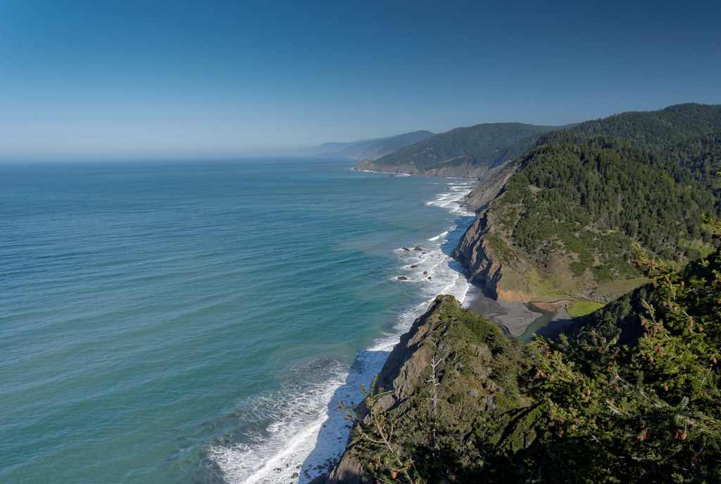
… where we were treated to the first of many great views.
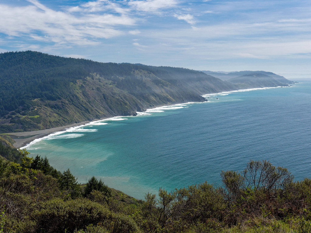
The trail was reasonably good with only a few sections of steep, loose dirt and thick vegetation. But we thoroughly enjoyed sights of wildflowers, including poppies, iris, and lupine. At intervals, the trail must cut inland to circumvent deep gullies. It goes through forest, and as we passed firs and ferns, it felt similar to hiking on trails in the Pacific Northwest. However, it was drier and there were redwoods.

Crossing headlands before dropping down into gullies also felt familiar. However, where headlands on Washington’s Olympic Coast are about 200 feet high, the headlands one must cross on this trail are between 600 and 1,100 feet high.

The effort to get to the top of yet another headland was well worth it. While standing on top taking in the views, we got some brief opportunities to see whales spouting in the distance. Unfortunately, it wasn’t feasible to get a photo.

We continued up and down passing the huge trees wondering when we would reach our destination for the day, Little Jackass Creek.

We had only hiked 7.5 miles that day, but it felt like more because of the accumulated elevation gain and loss, plus the fact that it was our first backpack trip of the year. We had considered camping closer to the beach, but it was quite windy, so we looked for a more sheltered location, and we were moderately successful.

John, of course, spent some time on the beach taking photographs.

The next morning, we climbed out of the valley, …

… through the forest …
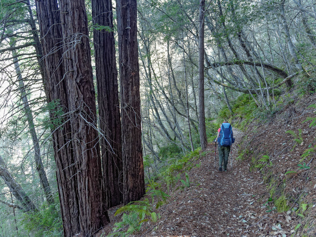
… and over the headland. There is a definite rhythm to this trail.

We only had 4.5 miles to our next camp on Jackass Creek (whoever named these creeks lacked imagination). The area is referred to as Wheeler Camp and is the site of a former company town built for logging back in the 1950s. One can see evidence of the town as a few foundations and fireplaces remain.

As we had hiked such a short distance, we decided to day hike further on the trail.
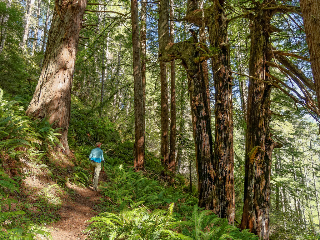
We hiked for about an hour and a half before turning around. Our reward was a few peekaboo views through the trees.

Once we got closer to our camp, we had to wait a bit before cooking supper as there were two elk passing right through our camp. Once again, we avoided camping near the beach and had sought out a more protected spot, but the wind was not an issue that night.

John spent time photographing the beach in the lovely changing evening light.
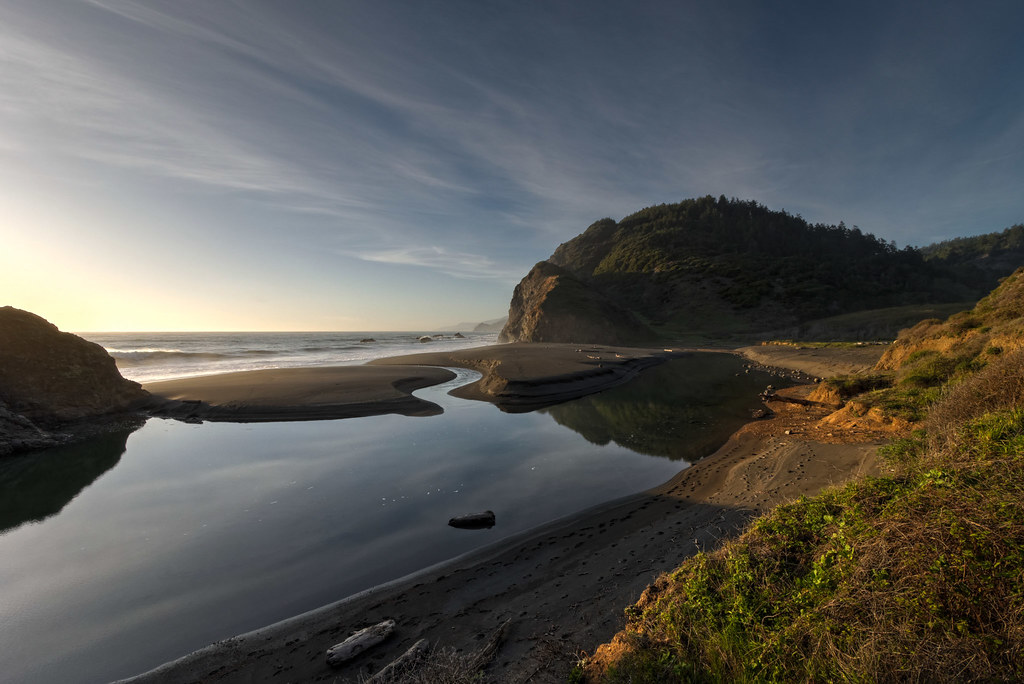
There were more elk nearby.

It only took a few low clouds to create a beautiful sunset.

Apparently, we weren’t the only ones enjoying the sunset. John was surprised by the sight of an elk walking to the shoreline and gazing out to the horizon.

The next day, we would hike all the way out, a total of 12 miles.

The weather was great, sunny but not too hot.
One advantage of doing an out-and-back trip is you know what to expect on the way back.

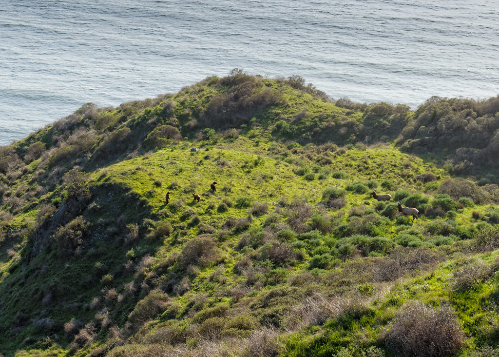
We had stopped to take in the view, and some movement below caught our eye. We first saw two elk (visible to the right), but then we saw a surprising sight, three bears (visible to the left). They seemed equally curious at first, but the elk appeared to be more assertive, and the bears soon ran down the slope.
It was a long day, and we were happy to cross that last headland, but there is always something special about that first backpack trip of the season, especially one done so early in the year.

All photos from this trip are on Flickr.
A day hike in the King Range
We had originally thought we would complete the Lost Coast Trail as another out-and-back backpack trip, but the weather would be changing, so we day hiked it instead. This portion of the trail is in the King Range National Conservation Area.

It is a lovely coast, and the weather started out great.
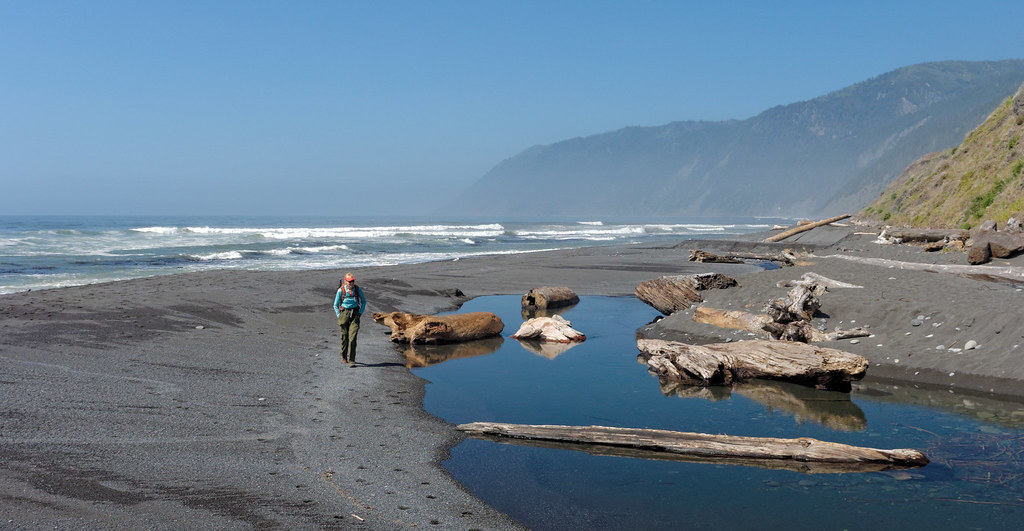
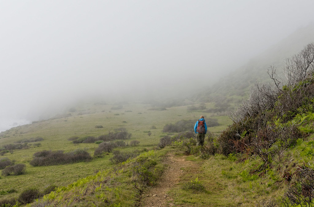
But as the day went on, the fog rolled in.

I have never been to Scotland, but I wondered if it was anything like this.
We hiked as far as this creek …

… before heading back and crossing the inevitable headlands.

We hiked out of the fog …

… and into the golden evening light.

We had wanted to do the Lost Coast Trail for some time, and I was happy we finally got to do it.
All photos from this trip are on Flickr.


Leave a Reply