In 2012, we spent three months exploring New Zealand, where trails are tracks and hiking is tramping. We did seven Great Walks. Sometimes we camped in our tent, and sometimes we stayed in huts provided by the Department of Conservation (DOC).
In March, we spent four days and three nights on the Milford Track in Fiordland National Park. John was 59 and I was 57. This track does not have any camping areas, so we would be staying in DOC huts for this trip.
Getting to the beginning of the track requires an hour-and-a-half boat ride up Lake Te Anau to Glade Wharf. At the end of the track, we would take a 20-minute boat ride from Sandfly Point to Milford Sound, followed by an hour-and-a-half bus ride back to our campervan.
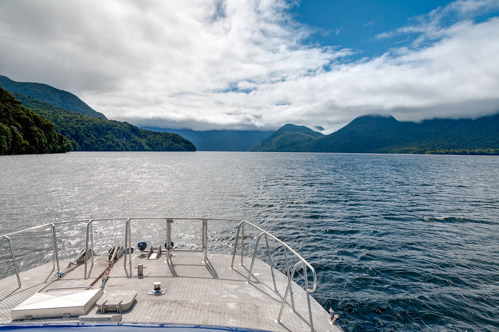
After getting off the boat, we did the short hike to the Clinton Hut in sunshine.
We had heard that Fiordland is best seen in the rain, which is good because Fiordland gets about 12 to 24 feet of rain per year (depending on which side of Mackinnon Pass you are on) and that it rains more than 200 days per year. However, we really hoped not to spend the entire time in a cloud not being able to see anything.
The next morning, we were happy to see it was still sunny as we hiked through the forest along the Clinton River.

Once we left the forest, we began getting great views of Clinton Canyon …

… and Hirere Falls.
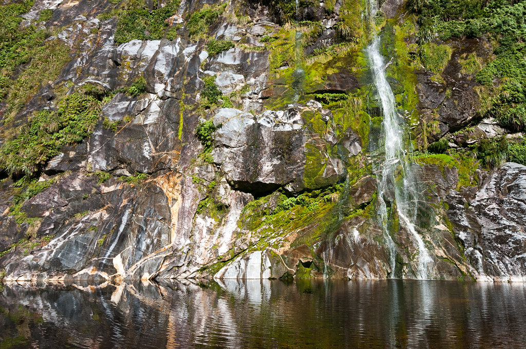
We later heard that those who had hiked this way the previous day did so in rain. They were treated to the sight that Fiordland is famous for: countless waterfalls tumbling down the walls. They also hiked through deep water before reaching the next hut absolutely soaked. We may not have seen as many falls, but we appreciated the clear skies as they enabled us to see the surrounding mountains and Mackinnon Pass.
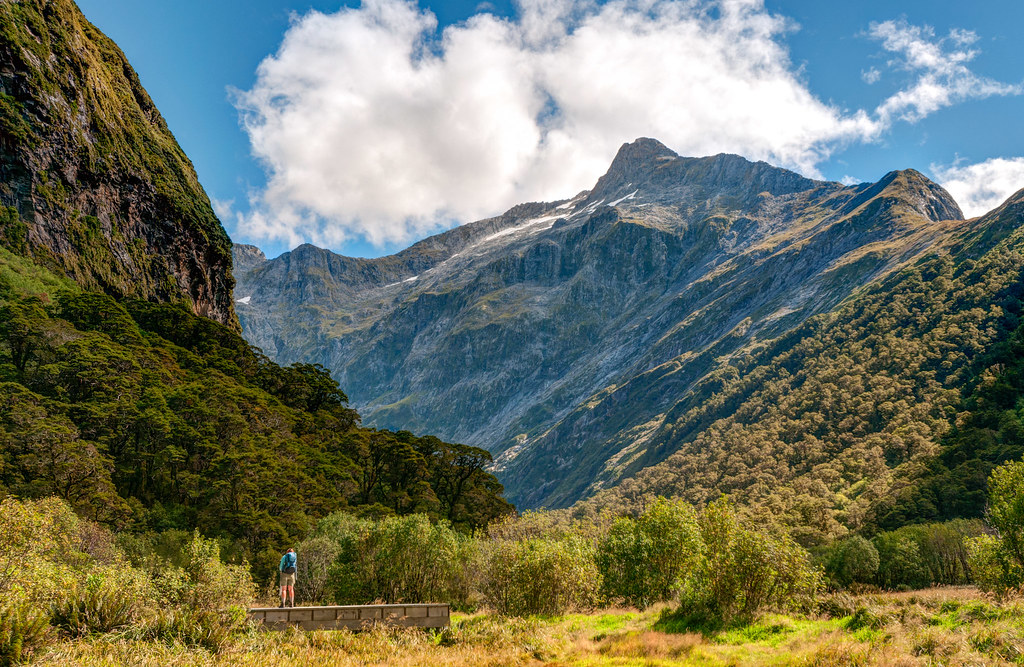
We arrived at the Mintaro Hut by midafternoon. The next day was when we would cross the high point of the track, Mackinnon Pass. Unfortunately, the weather forecast for the following day predicted low clouds and rain. Therefore, we decided to drop most of our gear off at the hut and hike up the steep trail to the pass that afternoon.
Only six other people made the same decision, and all thought that the effort was well worth it. The views of Mount Balloon, Mount Hart and down into the valleys were great! The weather was warm and the evening light was gorgeous! To top it off, once everyone else headed back down, we had the pass completely to ourselves, a rare treat at such a popular spot on this iconic track.

Sometime after we completed our New Zealand adventures and posted John’s photos on Flickr, the DOC reached out to us. They asked for permission to use some of John’s photos in their brochures and on their website. We were honored and happily consented.
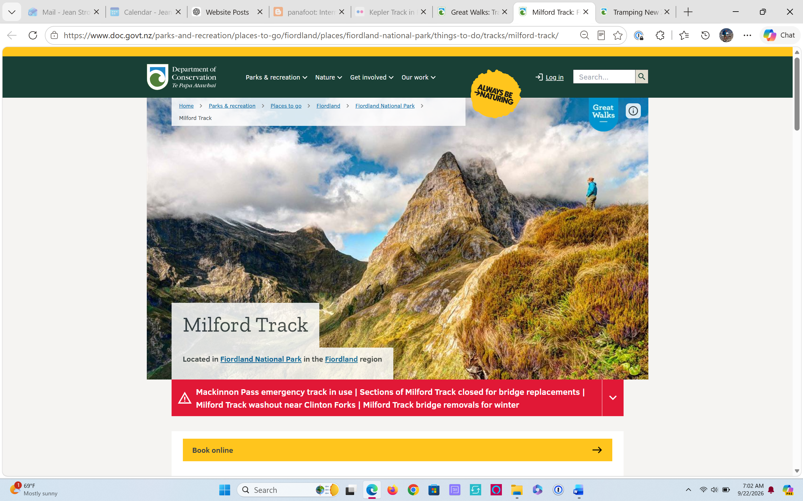
This photo …
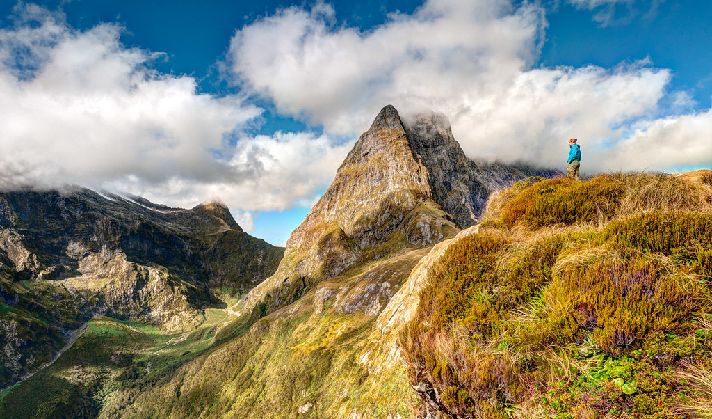
… appears on the Milford Track webpage as well as the cover of the Milford Track Walking Guide.
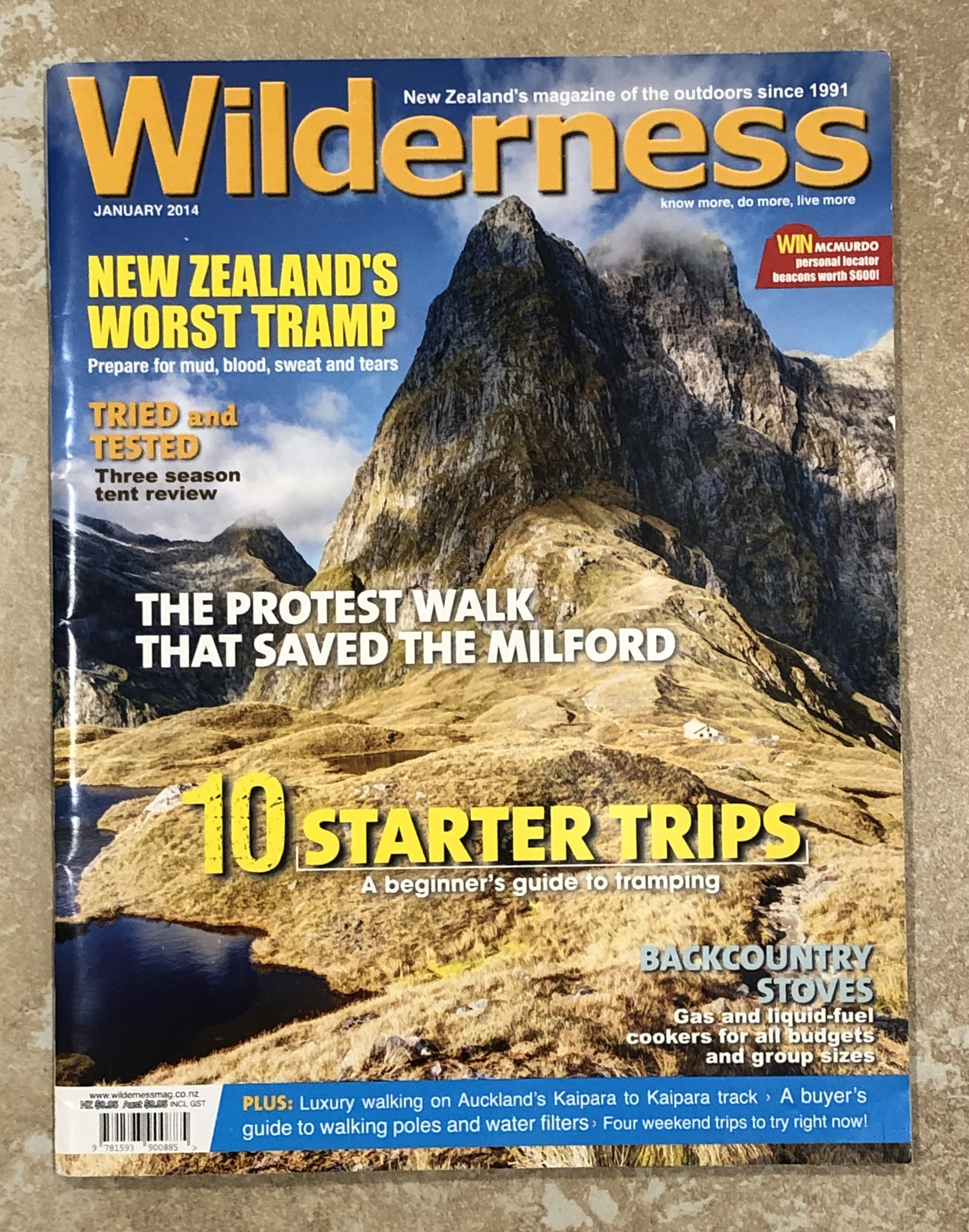
In addition, this photo …
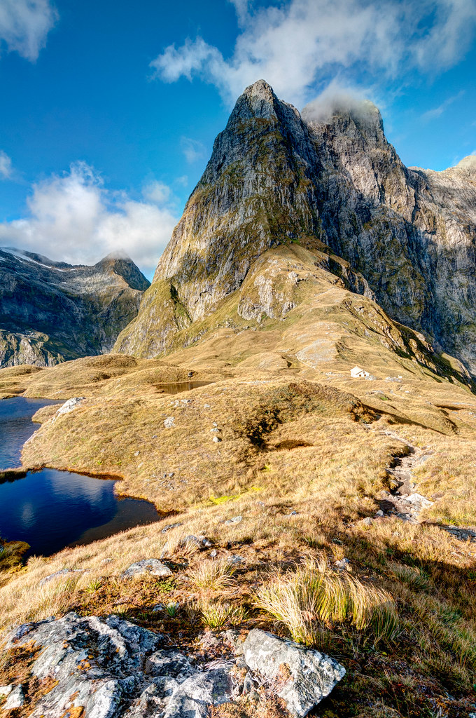
… appeared on the cover of Wilderness Magazine.
We returned to the hut content. The weather the next day could do what it wanted as far as we were concerned.
The next morning, we were happy to see that the dry weather would hold for a bit longer. We repeated our climb to the pass. However, this time conditions on the pass were quite cold and windy despite the mostly clear skies. The morning light was flat, and some of the valleys were still in shadow, so we felt lucky to have been there the previous afternoon. None of the trampers spent much time on the pass and headed quickly to the Mackinnon Pass Shelter to get out of the wind and make some tea.

The track descends steeply down a rocky slope that includes countless stairs.
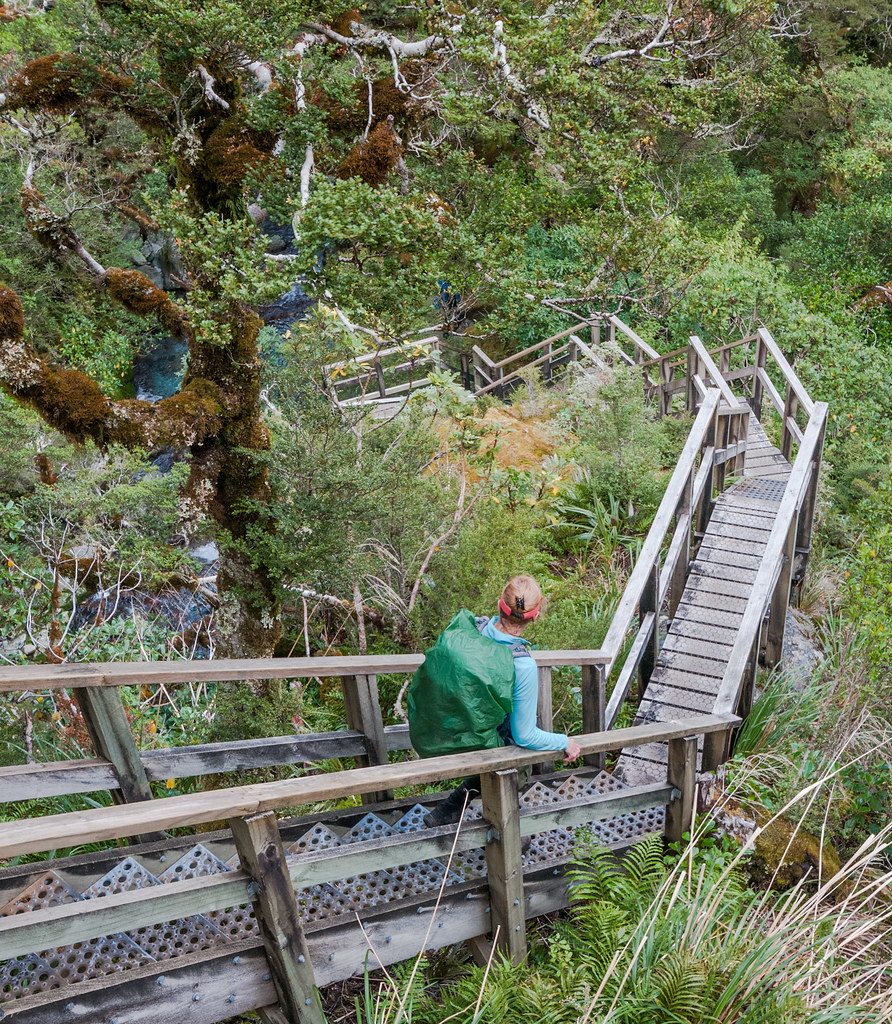
It then reenters the forest and follows alongside Cascade Creek.

It had begun to rain by the time we did the short side trip to see Sutherland Falls. At 1,904 feet, it is an impressive sight, but it was challenging to photograph it that day between the rain and the spray generated by this powerful waterfall.
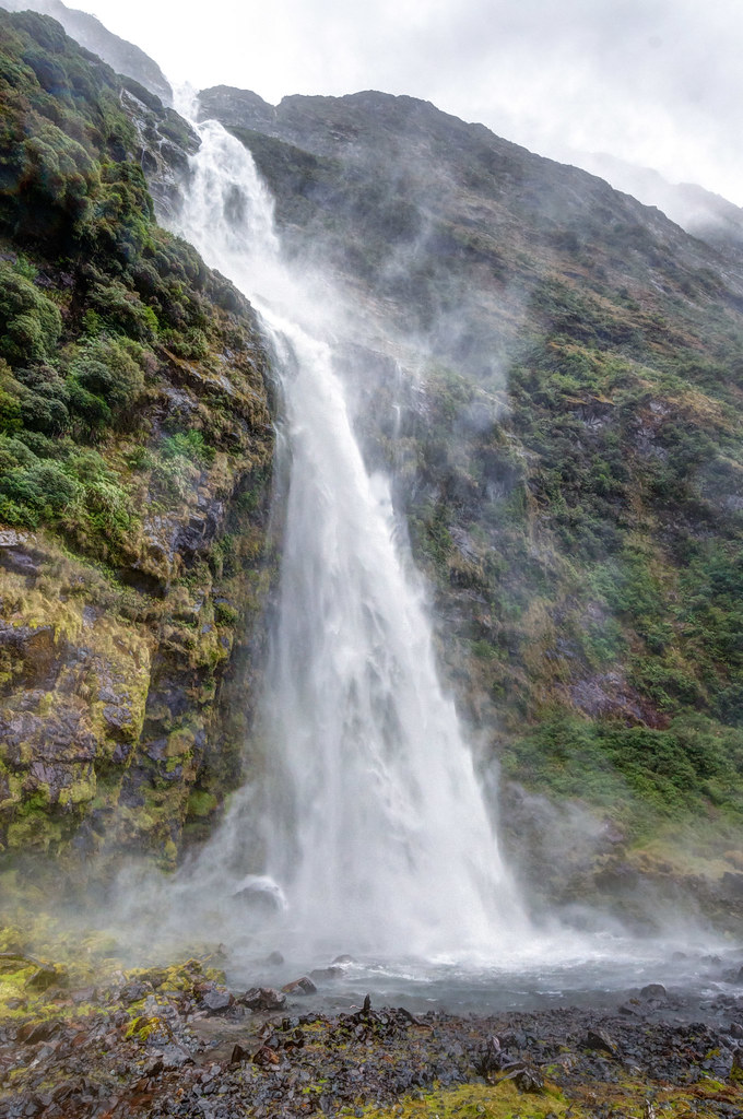
It continued to rain all the way to Dumpling Hut, our destination for the day. The next day we would continue on the track down the Arthur River valley. That evening, Amanda, the DOC Hut Warden, informed us that the weather forecast called for heavy rain to begin about 4 a.m. As the steep rock walls above the Arthur River act as a funnel, heavy rain can cause the level of the river to rise several feet. This makes portions of the track temporarily impassable. We were instructed to be ready to leave by 7 a.m., but to wait for her to tell us whether it was safe.
Fortunately, the heavy rain held off long enough that we were told the next morning that it was safe to hike out but not to “dally along the way.”

We passed the lovely Mackay Falls.

Then it started to rain heavily. We hiked more like a Kiwi that day, in shorts and without rain pants. We accepted that we would get soaked no matter what we wore. We were grateful that water over the track was not yet higher than our boots that morning. Later that day, we got to see exactly why Fiordland is best seen in the rain. Once the track led us out of the woods, we were surprised by the roaring sounds of multiple waterfalls pouring over the steep granite walls above the valley.

Not surprisingly, we were thoroughly soaked when we finished the track and boarded the boat bound for the town of Milford Sound. Fortunately, we were able to catch an earlier bus, and John had the foresight to quickly grab two dry shirts out of our packs before they were stored on the bus. They kept us just warm enough for the hour-and-a-half bus ride.
In the previous November, when we booked this trip, I knew we would do it no matter what the weather turned out to be. We hoped we would not join those who have completed this track without having seen anything due to rain and low clouds. We consider ourselves very lucky. I don’t think we could have planned for more perfect weather than what we had. We couldn’t have been happier with how our Milford Track experience turned out!
All photos from this trip are on Flickr.


Leave a Reply