In September 2014, John did a three-day, two-night solo backpack trip around Mount St. Helens, Washington. Unfortunately, I was sidelined with a frozen shoulder. He was 61. This is his account of his trip.
My next trip around Mount St. Helens duplicated a solo trail run I did in 2002. Trail running at that time was not as common as today. The trail was in very rough condition, especially on the west side. I read one trip report and had a very funky map of the route. I camped at the trailhead at June Lake on the south side and ran counterclockwise around the mountain to take advantage of sunrise and sunset for photos. Little did I know the problems this decision would cause.
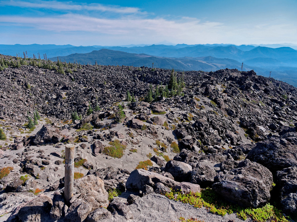
I made good time running until I hit the west side. The South Toutle River and beyond was a mess with a terrifically eroded canyon. Progress was slowed dramatically. What I hadn’t really noticed on my internet map were the lava fields. When I got to the first one, I finally appreciated what they were. There are about four or five of the lava fields ranging from one-quarter to nearly one mile across. I hit the first one with good light, the second with fading light and the remainder in full darkness. A constructed trail is not really possible across the lava, so the USFS put in tall posts about every hundred yards (or more) apart. You scramble across the large chunks of lava from post to post. Great in the daylight, but nearly impossible after dark. Needless to say, my progress slowed to a near crawl as I tried to see the slightest evidence of footprints or even disturbed dust with a pathetically weak headlamp. I had resigned myself to sleeping in my mylar bivy bag, but I pressed on and stumbled back to my van about midnight—whew!
On this backpacking redo, I really wanted to see so much of the trail that I missed the first time. This time I started at Windy Point on the northeast corner of the mountain, but I walked in the same counterclockwise direction. This worked out best for water and camps. I would take three days to do the circuit, and I had a good weather window. Mount St. Helens is so unique, with the vastness of the destruction and the amazing way that nature so quickly fills that vacuum. In 1980, the north side of the mountain was completely blown out. It’s one thing to read about it. It’s quite another to walk through all of the changes. The first view of Spirit Lake is from an old road that turns into a trail and starts down toward the Pumice Plain. It would take most of the day to cross the Pumice Plain on the north side of the mountain.
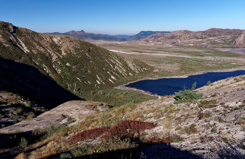
Before I dropped down onto the Pumice Plain, I had this nice view of Mount Adams. I had camped at High Camp (straight ahead just above timberline at the lowest snow fields) just a week earlier on the first night of my Mount Adams–Goat Rocks trip. Small world.
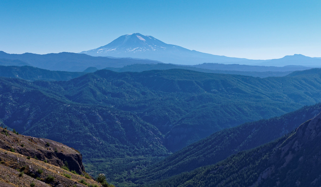
This panorama shows Mount St. Helens from the northeast with Mount Adams on the left horizon. The Mount St. Helens summit is in the center, the Pumice Plain is on the right, and the trail heads around a ridge into Loowit Creek and the falls.
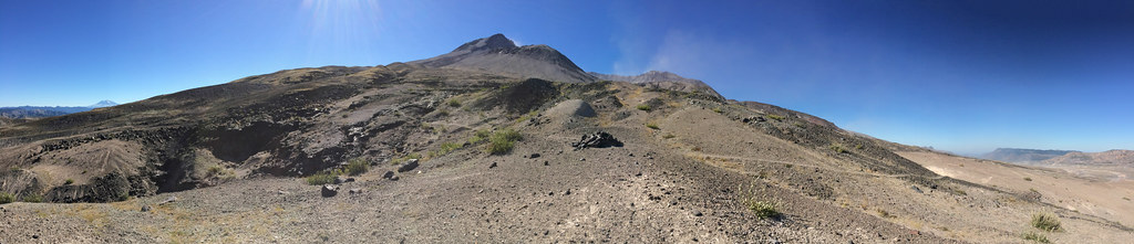
Loowit Falls drains the crater.
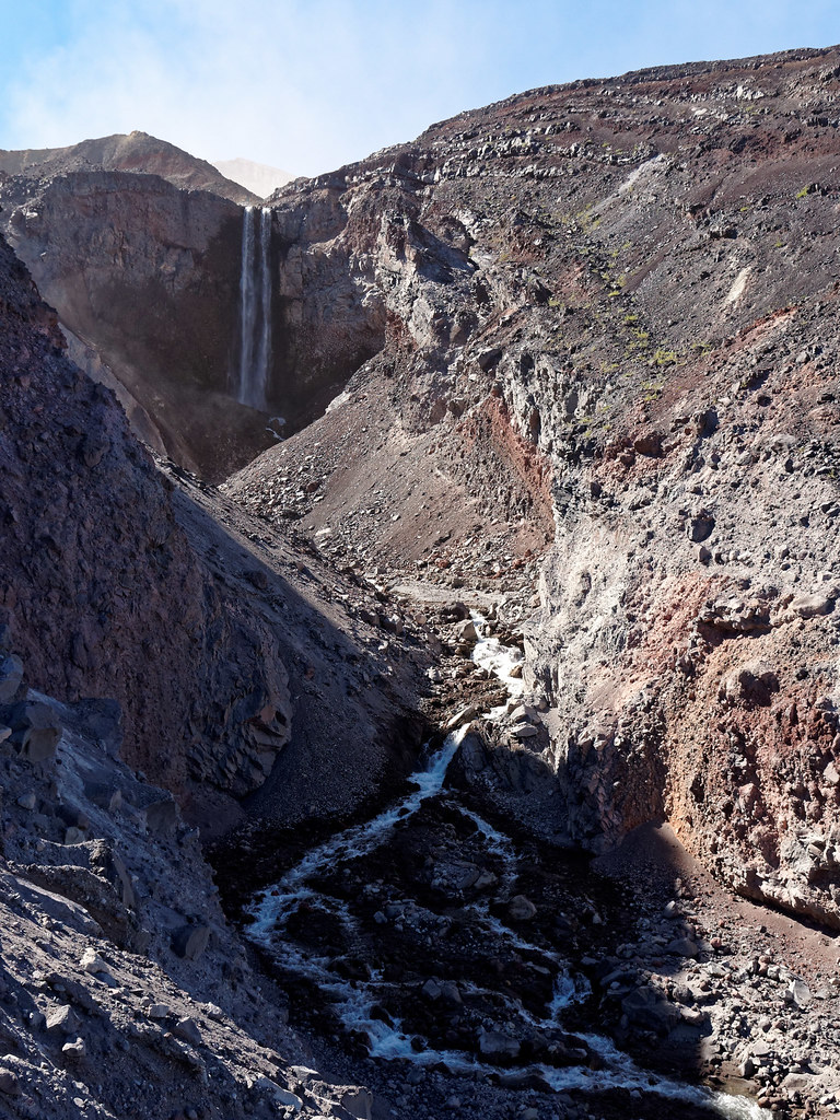
This panorama shows the falls on the left, the Pumice Plain in the middle, and Spirit Lake to the far right.
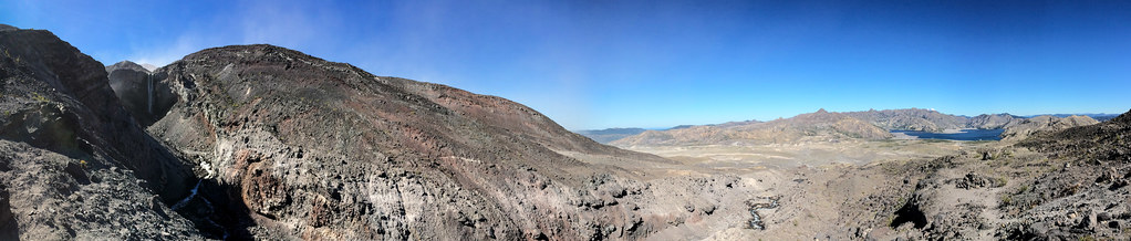
As I moved slowly across the Pumice Plain past Loowit Falls, the desolation continued. As far as I could tell, the apparent smoke rising from the gully above is more blowing dust rather than steam. It is very windy.
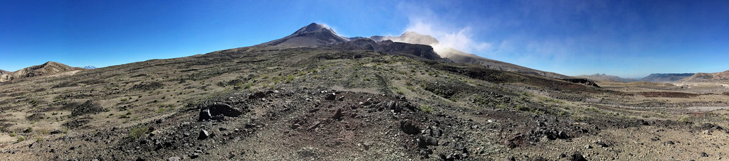
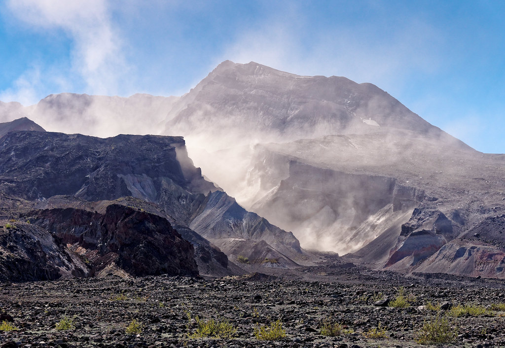
The blowing dust really etches the numerous gully edges.
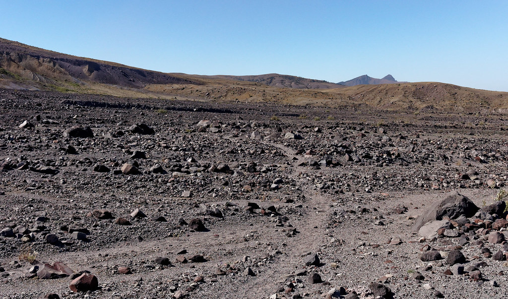
This is the heart of the Pumice Plain. The trail heads west and then turns south a bit left of center on the far ridge. I encountered my first trail runners going sensibly clockwise around the mountain near here. The runners would have been done in a couple of hours.
Looking up Castle Creek to Mount St. Helens.
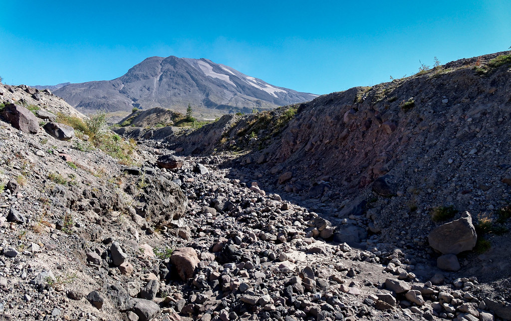
Looking north toward Castle Creek.
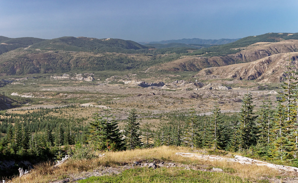
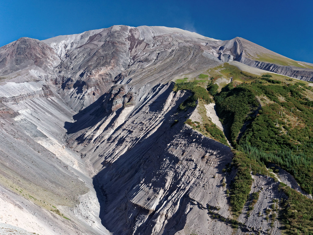
Looking up the South Fork of the Toutle toward Mount St. Helens.
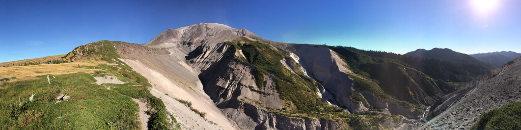
This panorama shows the plateau that I crossed just north of the South Fork of the Toutle River. I’ll drop down the very loose pumice slope to set up my camp right on the river. Always a lot of up and down going around a big mountain.
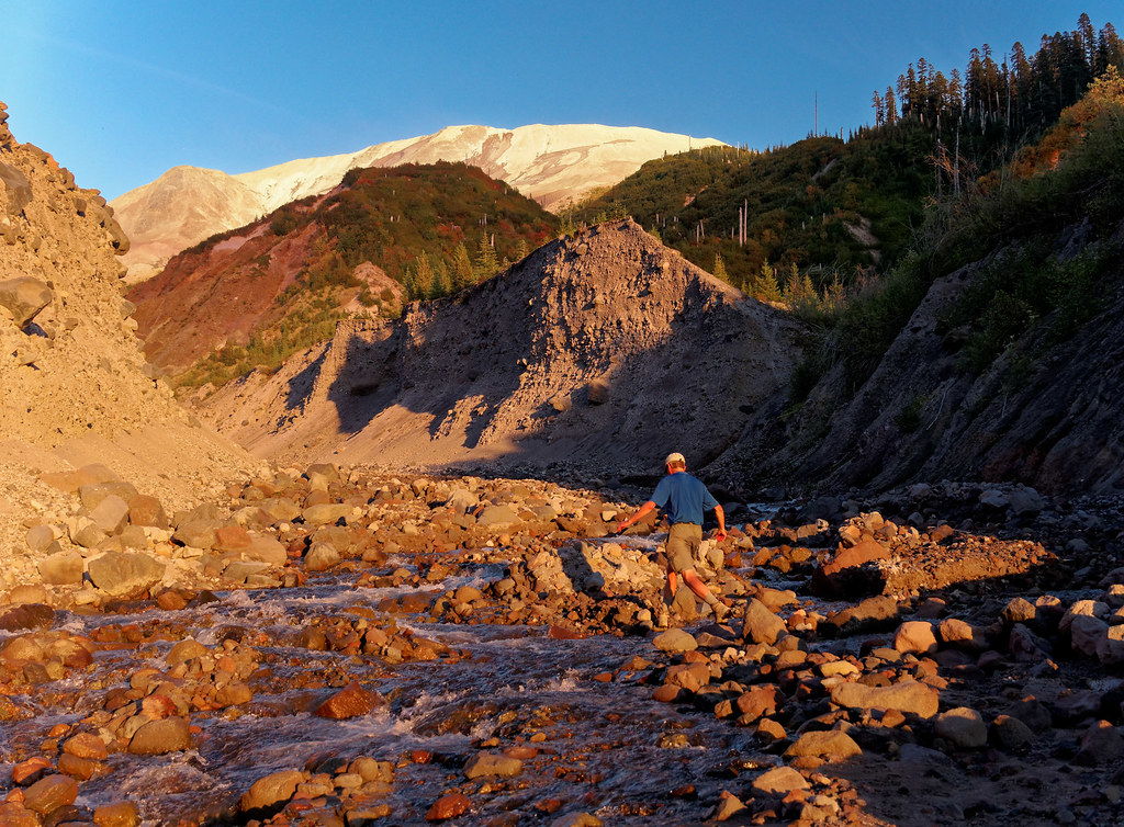
Exploring the South Fork of the Toutle near my camp.
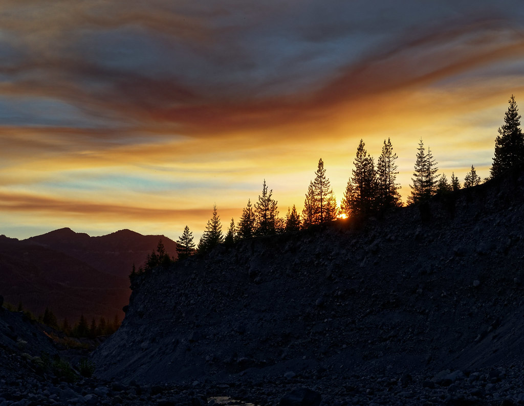
Amazing clouds and sunset to the west. Same color …
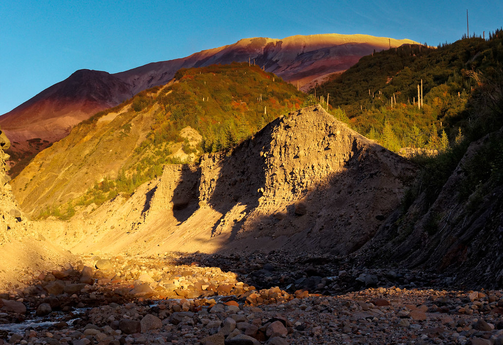
… highlighting Mount St. Helens and coloring the South Fork of the Toutle River.
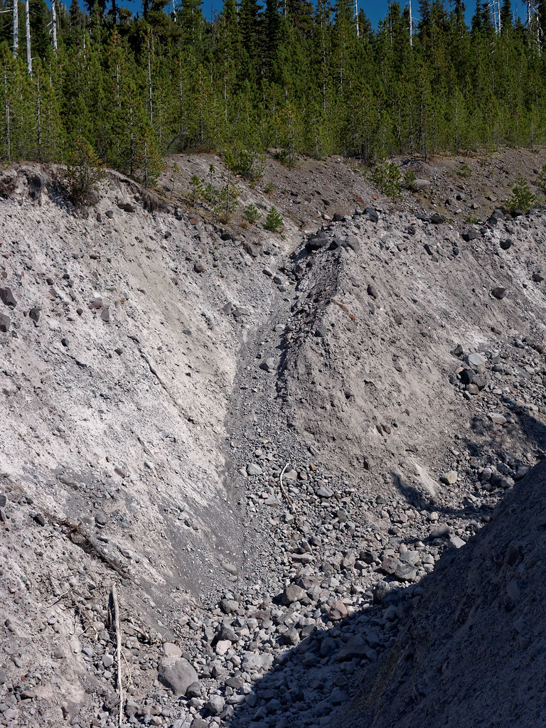
On day two, there were more of these gullies to cross as I headed south around the west side of Mount St. Helens. These are messy crossings, but not difficult. Some even have rope to help hikers up or down.
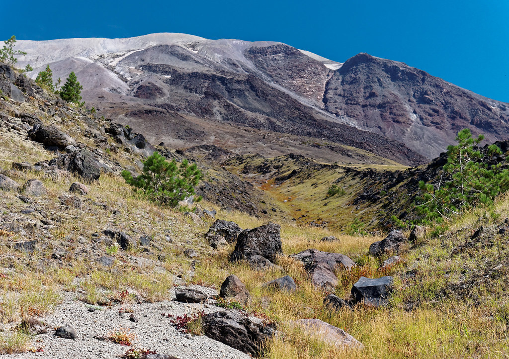
Looking straight up the west side of Mount St. Helens. Grasses and trees are coming back 34 years after the eruption.
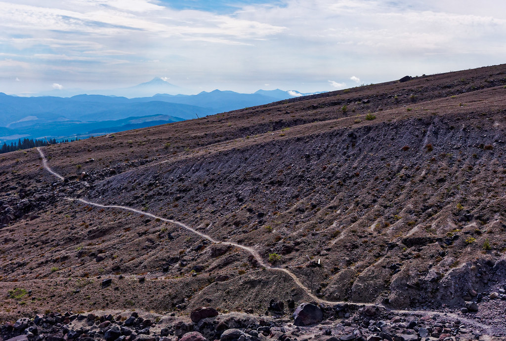
These posts are used to navigate the lava fields. Much better in the daylight. Mount Hood is hazily visible just right of center on the horizon.
I finally rounded Mount St. Helens enough to bring Mount Adams back into view.

After camping at Swift Creek, there were still more lava fields to cross on day three. I can’t begin to imagine how I crossed this after dark with a pitiful LED headlamp. Must have been youthful enthusiasm; I was just shy of the half-century mark. Seems youthful now.
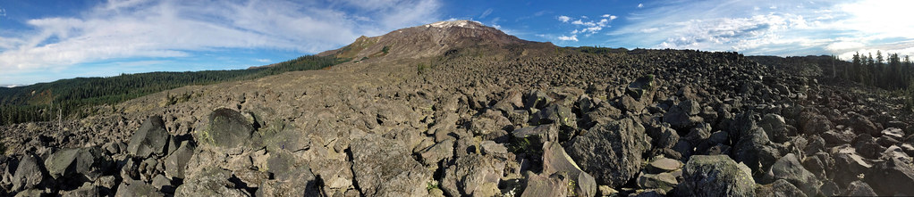
Starting to head up the east side with Mount Adams clearly in view.
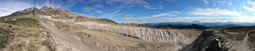
Looking over the Muddy River drainage south toward Mount Hood.
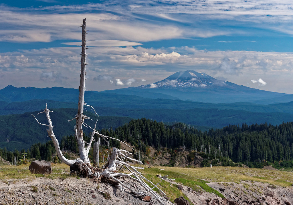
Snag and Mount Adams near Muddy River.
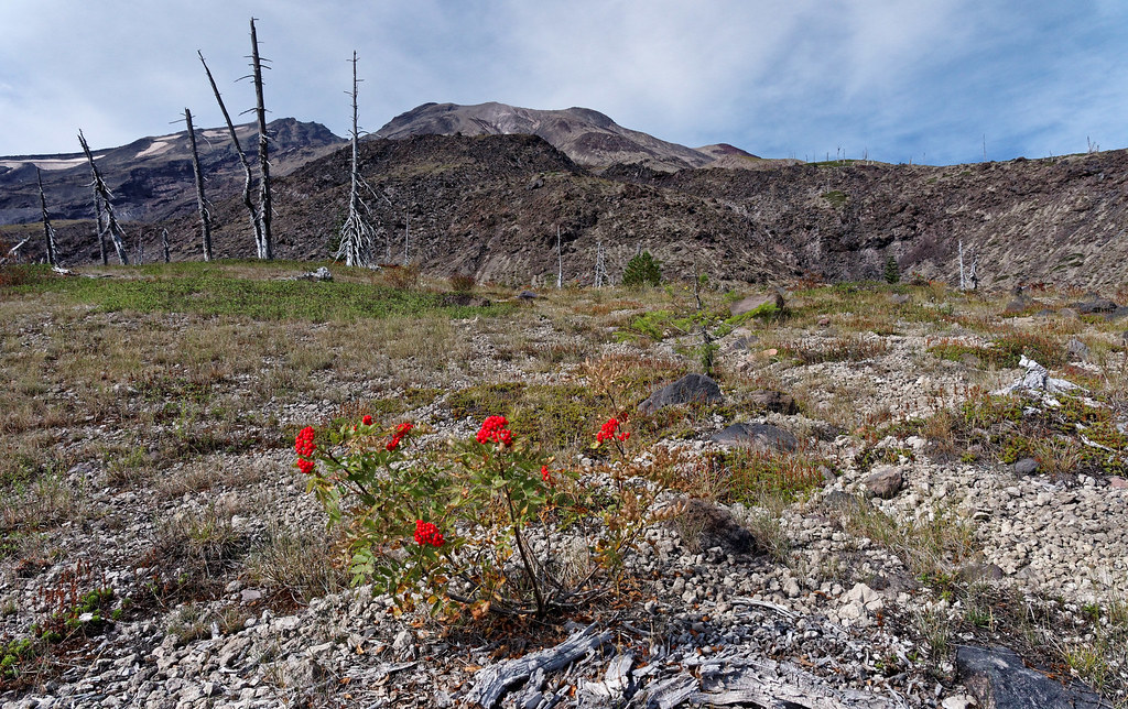
Finally, some bright color in a mostly monochromatic landscape.
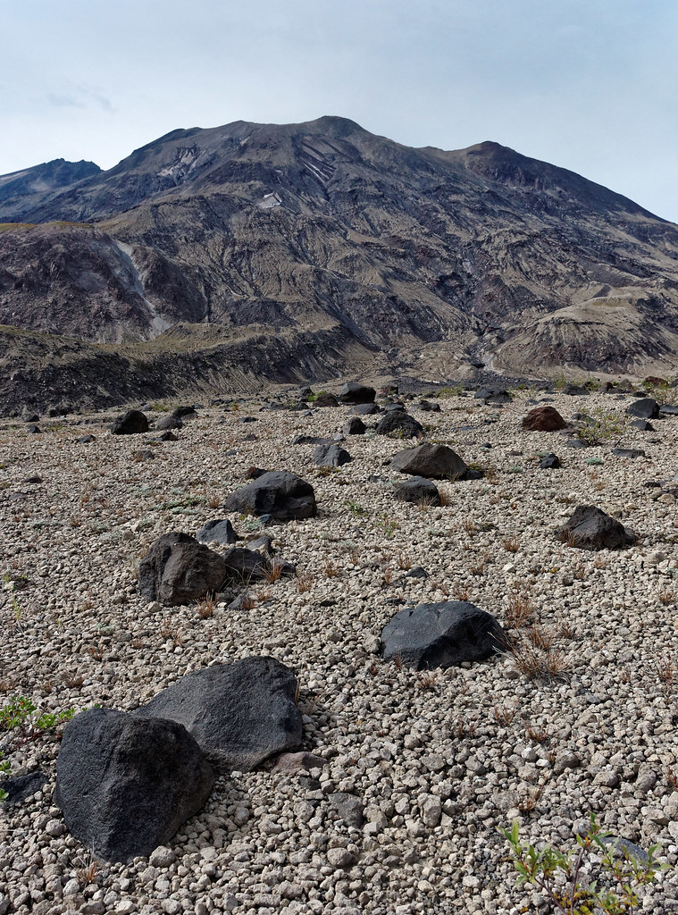
“Zen garden” on the Plains of Abraham.
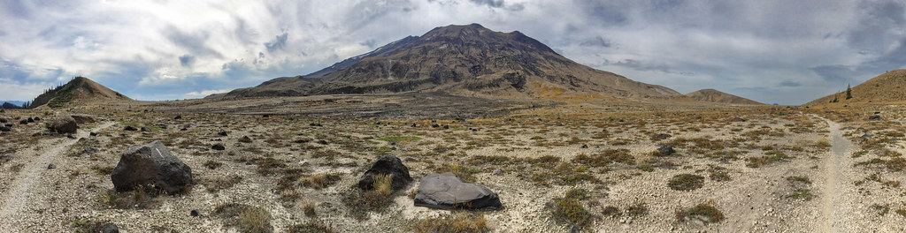
Plains of Abraham with Windy Gap on the far right. Nearly done.
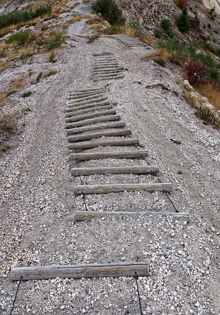
The last stairs back down to the access road.
When I ran this trail in 2002, I didn’t see a single soul. In fact, I didn’t really see the last quarter of the trip because I covered it by headlamp. After seeing that section in daylight, I have no idea how I made it. I think slowly was the answer. Much better this time around. I saw maybe ten trail runners going clockwise and getting the lava fields out of the way early. The trail conditions are much better now, so it’s much faster. I saw about 20 backpackers total for three days. There is some limited mountain biking allowed on the northeast side, but I didn’t see any riders. Mount St. Helens is remarkably uncrowded for such an accessible area, and this was on a weekend. The recent geological drama is unsurpassed for North America. What a wonderful trip!
All photos from this trip are on Flickr.


Leave a Reply