In April 2015 we did a five-day, four-night backpack trip on the Nankoweap Trail in Grand Canyon National Park, Arizona. John was 62 and Jean was 60. This is a North Rim trail, but the North Rim would not open until May 15. However, there is another way to access the trailhead before that date: the Saddle Mountain Trailhead in Kaibab National Forest. One recommendation is to hike in the night before and camp in the national forest near the park boundary or at the trailhead to get an early start.
Heat on North Rim trails can be a serious issue. However, this early in the season, the weather was cool and the nights on the rim were downright cold. Therefore, we opted to just get up very early and make the drive from Lee’s Ferry, where we left our motorhome, to the trailhead.
We started at the Saddle Mountain Trailhead at about 7:30 in the morning. It is 3.5 miles from this trailhead to the park boundary and about another 7.5 miles to Nankoweap Creek where we planned to camp for the night. I had been apprehensive about doing this trail. The Park Service trail description states it has “… significant exposure in places. This trail is not recommended for people with a fear of heights… This trail is classified as MOST difficult of the named trails in Grand Canyon.”
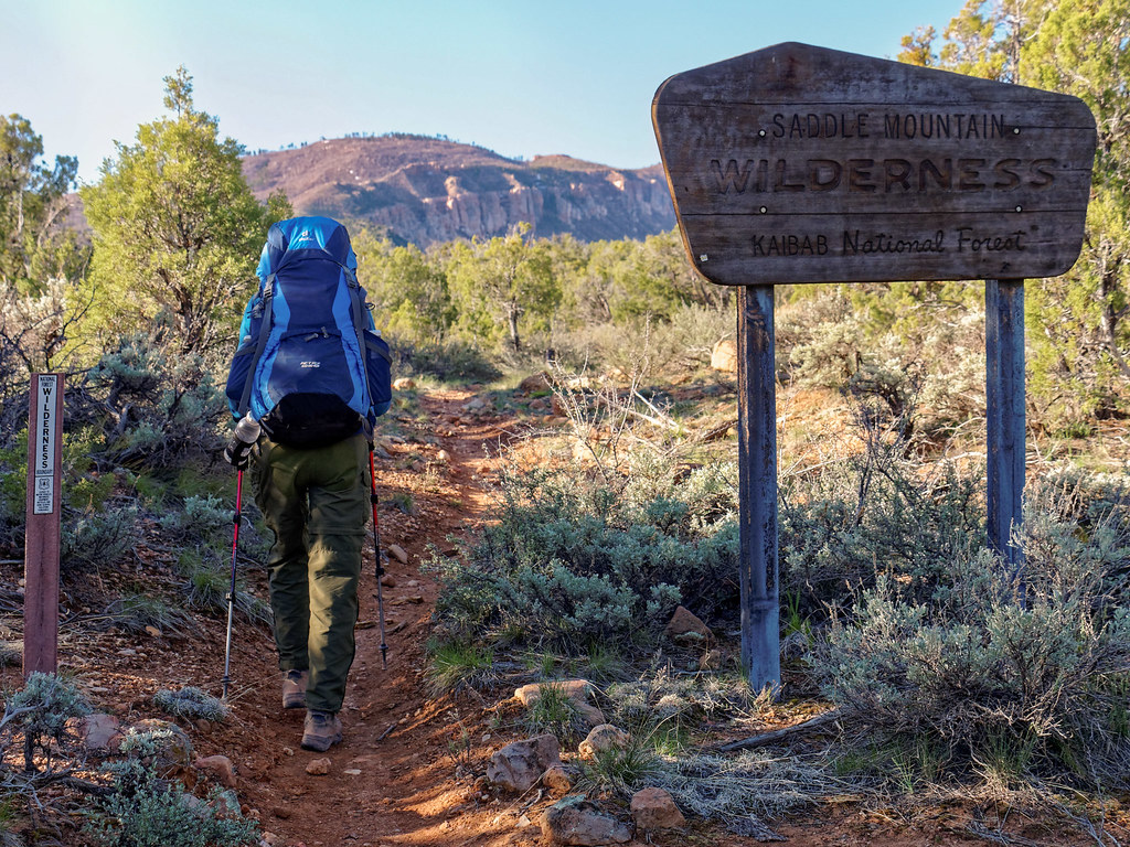
There was no water along the way, and we had read accounts of people dry camping at Marion Point or on Tilted Mesa, but we planned to go all the way to the creek. However, we did decide to carry extra water to cache for use on our hike out, so we were both carrying an additional half gallon of water. The trail first crosses a plateau and then descends a broad but rocky trail. After it crosses a gully, it then climbs back up.
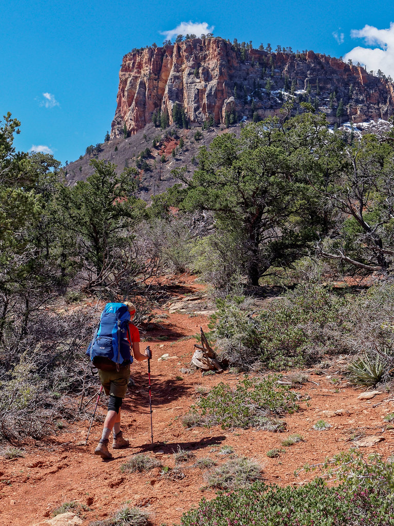
After reaching the national park boundary, the quality of the trail began to deteriorate, becoming steep and brushy as it descended partway into the canyon.
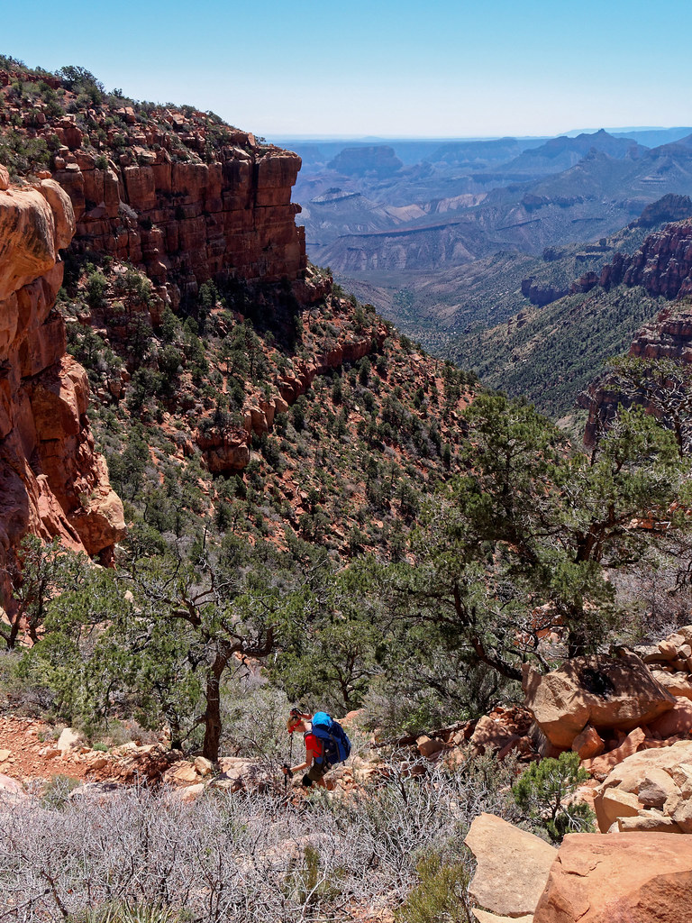
We were relieved to finally reach what is affectionately known as the endless traverse. But this is where we would encounter the exposure the trail is well known for.
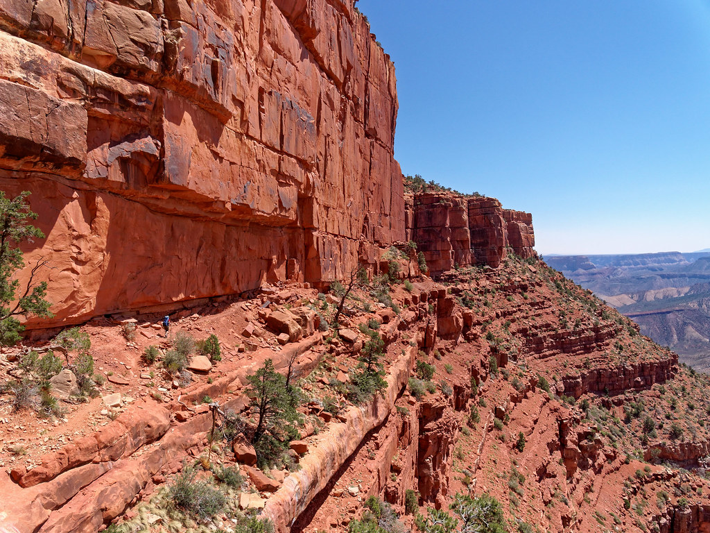
I do have a fear of heights and am a bit clumsy, so I occasionally trip and fall. However, I was very careful with foot placement and had no trouble. John, on the other hand, was quite comfortable and moved faster than I did.
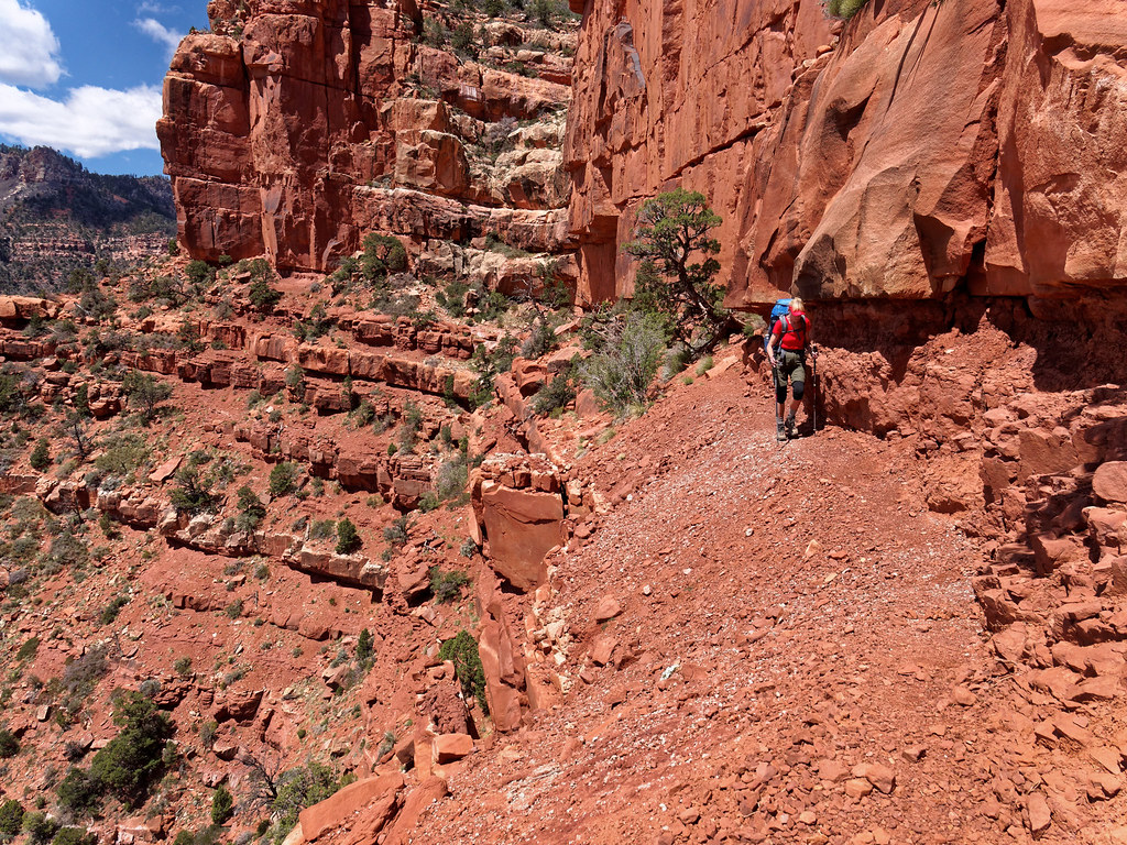
After about 5.5 miles, we reached Marion Point, where we cached our extra water. Our packs then felt much more comfortable.
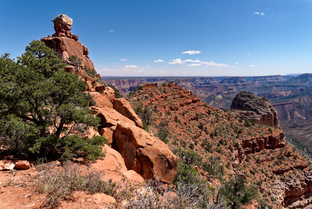
We continued and eventually reached a spot where we had to slip around a rock that juts out a bit. It made me a bit more nervous.
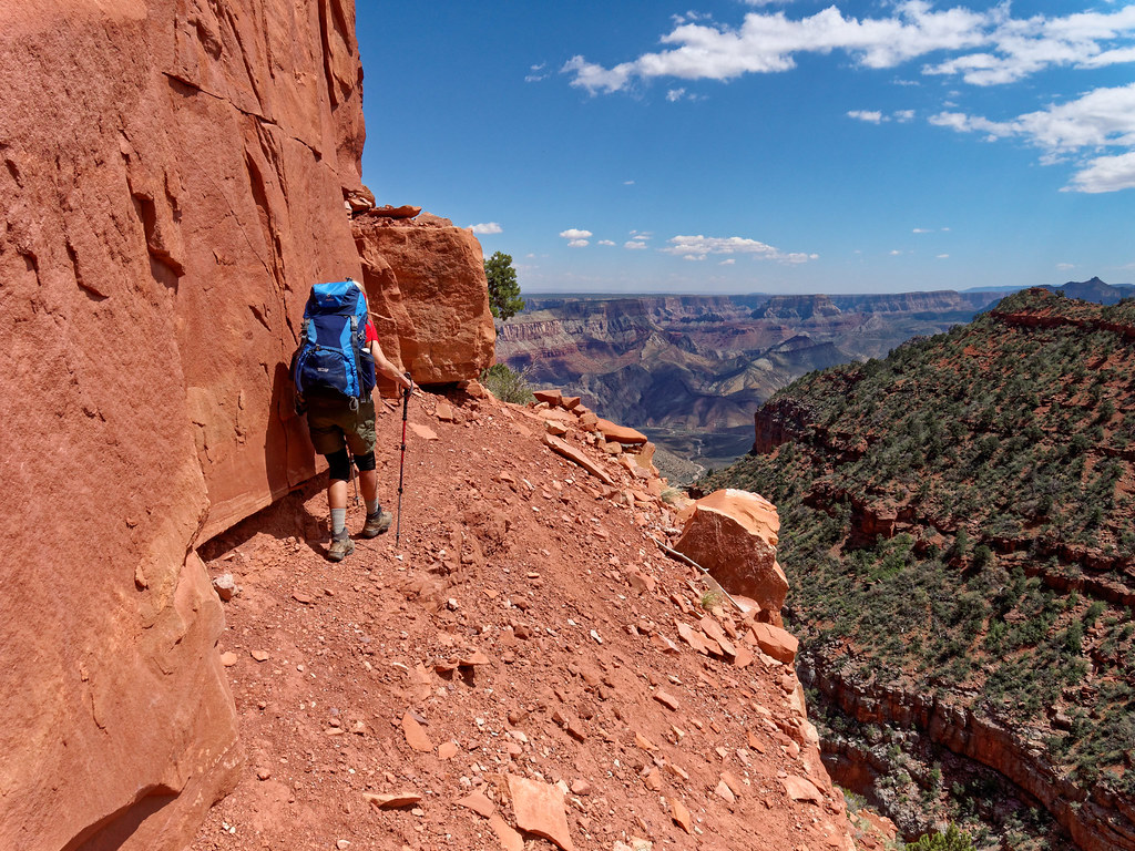
The views from the trail were quite good. We could look back to Marion Point, look ahead toward Tilted Mesa and down into the valley toward our destination for the day.
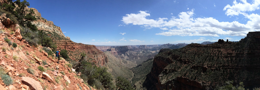
While the traverse truly does feel endless, intellectually we knew it would eventually come to an end. Still, it was reassuring to actually see it in the distance.
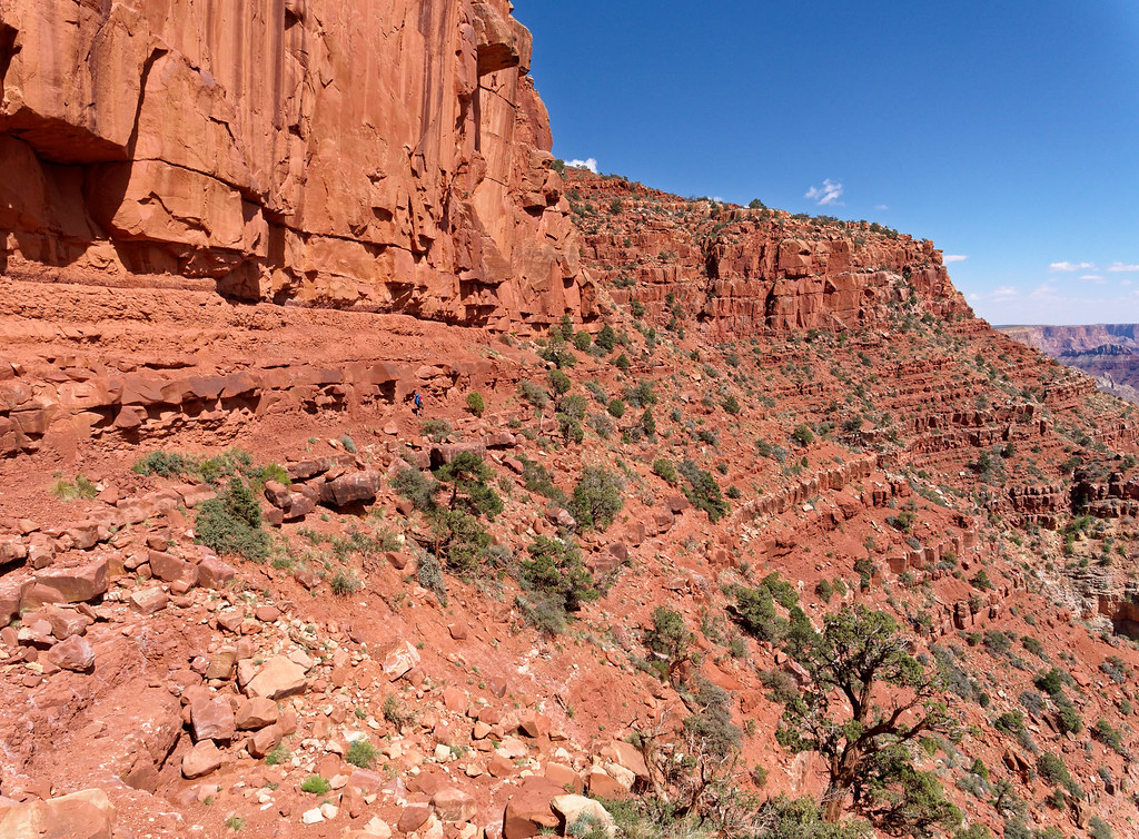
Once we reached Tilted Mesa, we knew it was time to descend the rest of the way into the canyon.
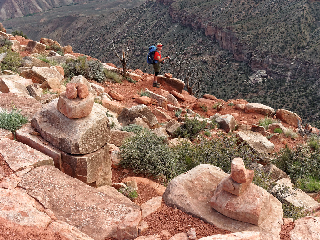
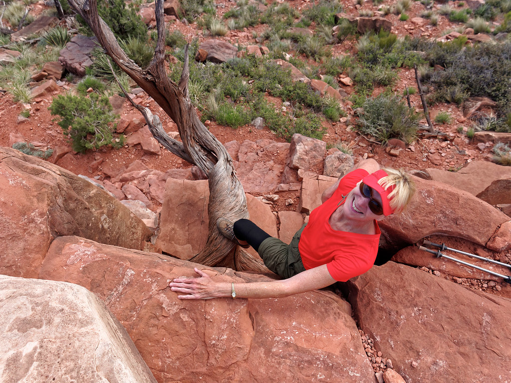
And the trail wasted no time. There are two short down climbs early on that I needed to remove my pack to do. Fortunately, there are conveniently located trees to assist.
But the trail doesn’t go straight down and gave us ample opportunities to enjoy the views.
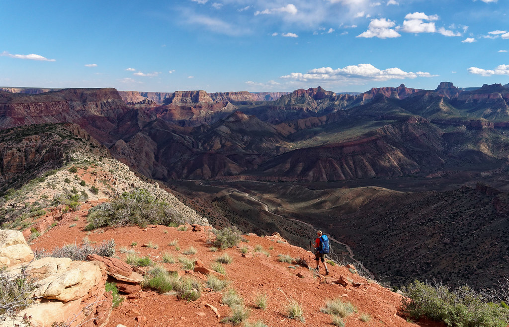
However, we had to lose the elevation sometime and we encountered the sections of trail that contribute to the Nankoweap being labeled as the most difficult trail.
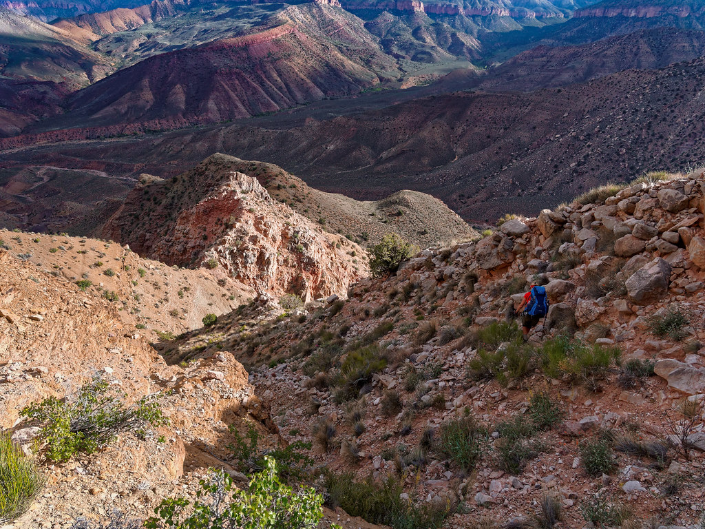
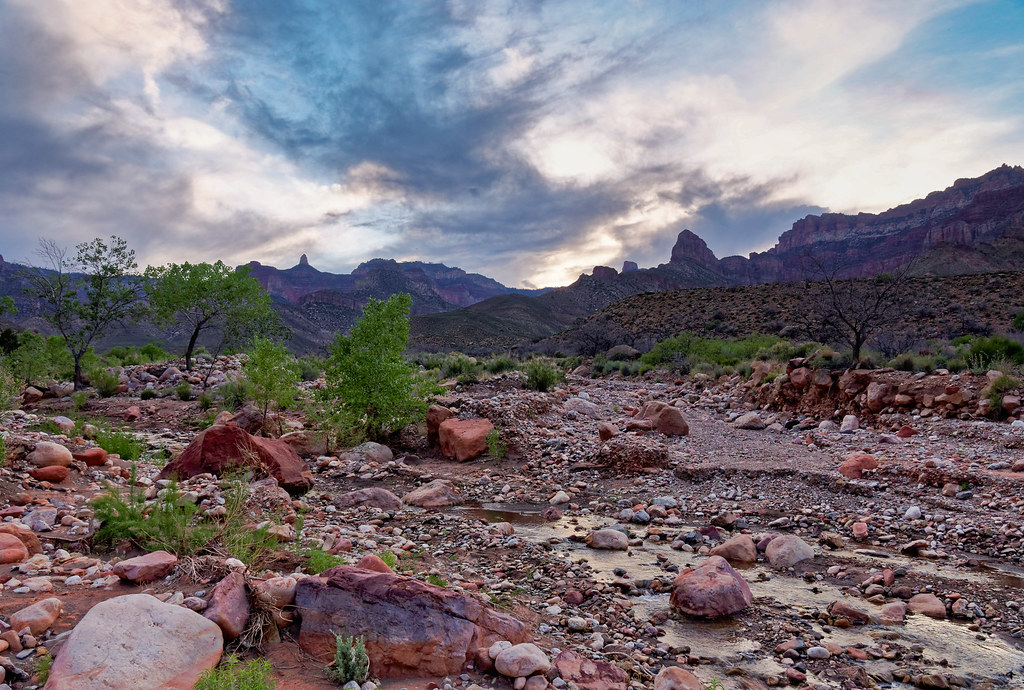
One of the joys of backpacking is being in pretty places later in the day when the changing light …
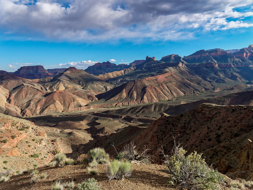
… enhances the beauty of the natural surroundings.
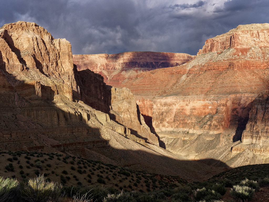
We finally reached the bottom and set up camp not far from the creek. The next morning we headed down canyon along Nankoweap Creek.
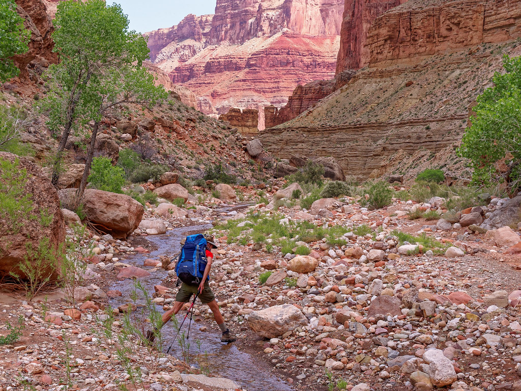
There is no trail. One just takes the path of least resistance.
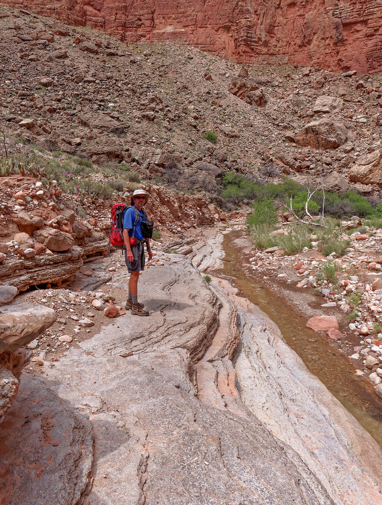
For the most part, the going is quite easy.
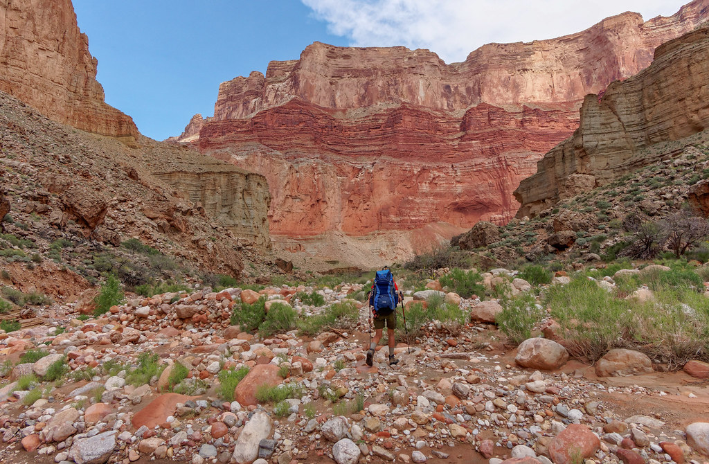
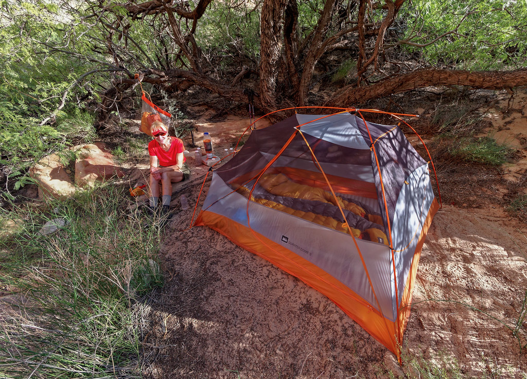
As it is only about 3.5 miles down to the river, we arrived at the beach early in the day. We felt fortunate to find a campsite with some shade as it was quite warm.
After setting up camp, we did the short day hike over to see the Ancestral Puebloan granary situated high above the canyon floor (about in the middle of the large rock to the right).
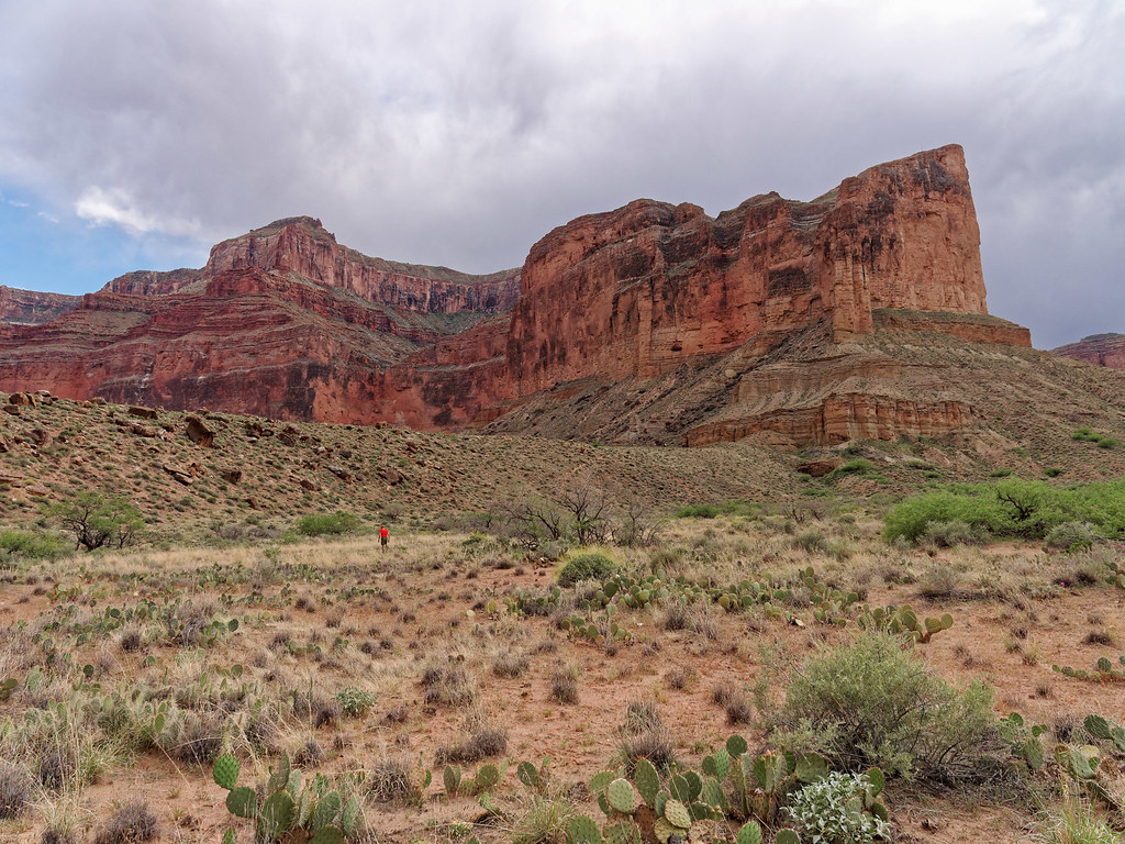
The trail up is initially steep and loose but moderates as you near the ruins.
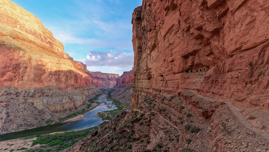
It is a stunning archeological site as well as a beautiful sight!
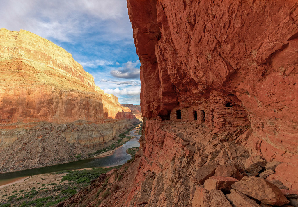
It is difficult to imagine what it took for people to be able to live in the area.
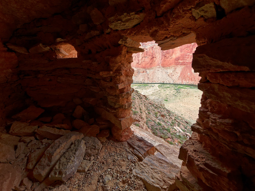
I wonder if they ever got tired of the view. I don’t think I would.
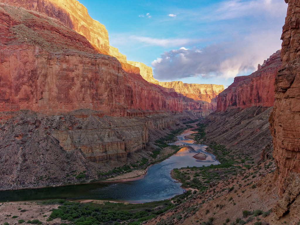
We always enjoy being near the Colorado River. We have really appreciated the times when we have had to rely on it for our drinking water; it has always been clear rather than muddy.
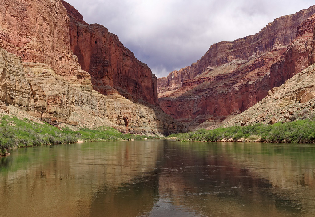
As we were camping two nights at the river, the next day was a layover day. We took the opportunity to explore up Little Nankoweap Canyon.
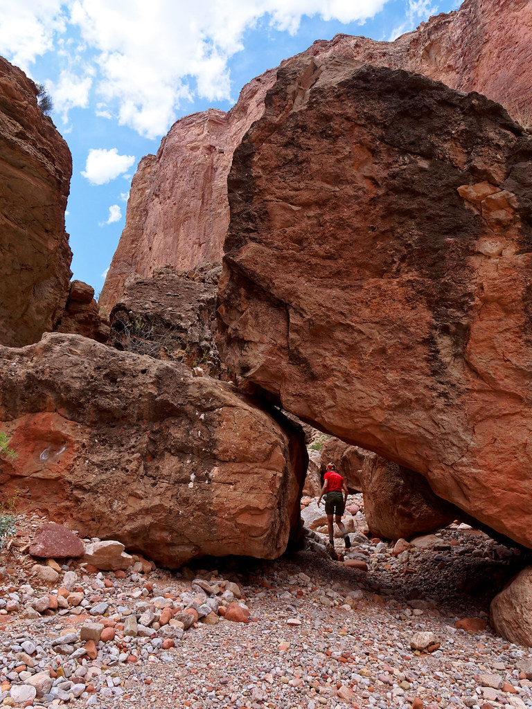
The canyon becomes narrower and provided opportunities for me to go into “4-wheel drive” (AKA crawling).
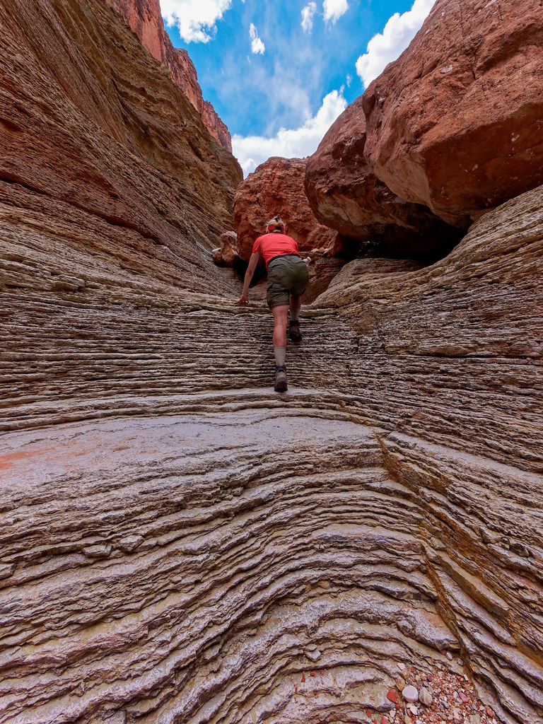
We explored until we reached a pour-off that I was uncomfortable climbing up. John continued up a short distance while I waited below.
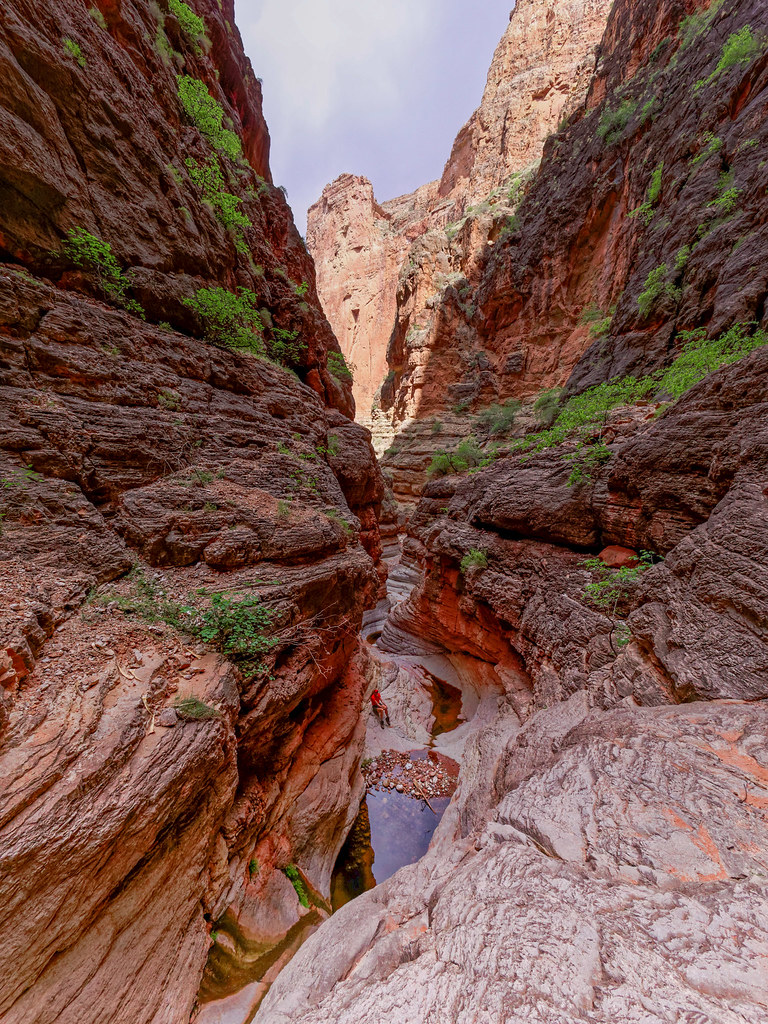
Every side canyon in Grand Canyon National Park is unique. Some are expansive, such as those we encountered while backpacking on the west Tonto Trail and some are narrow and intimate like this one.
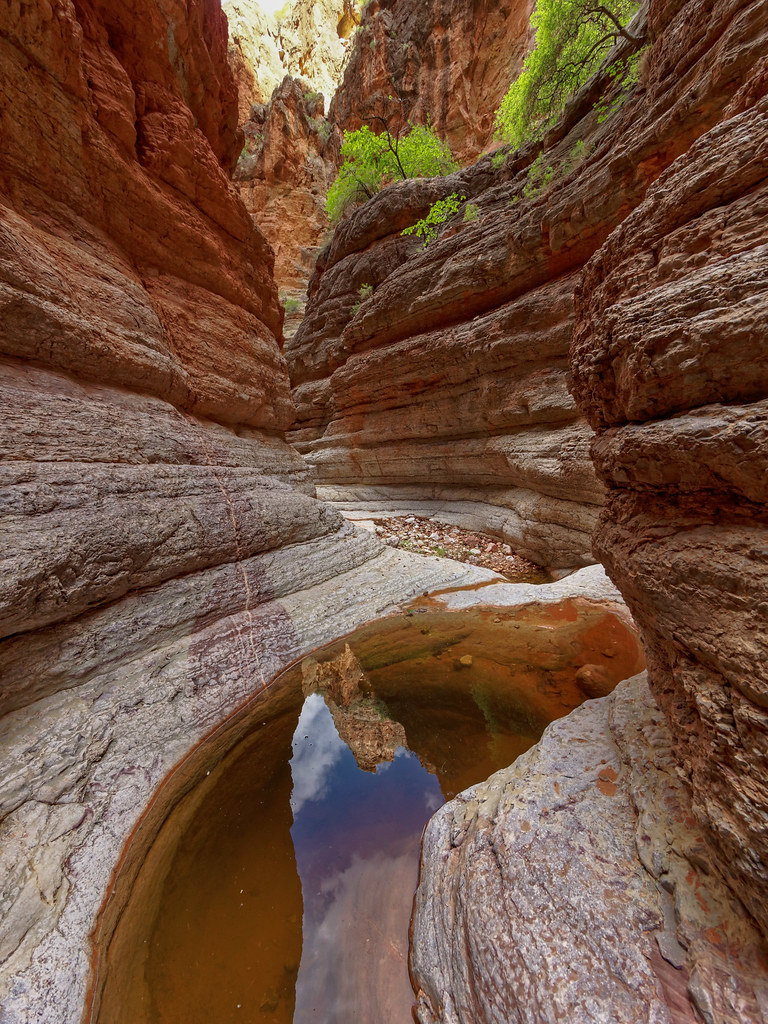
All are beautiful in their own way.
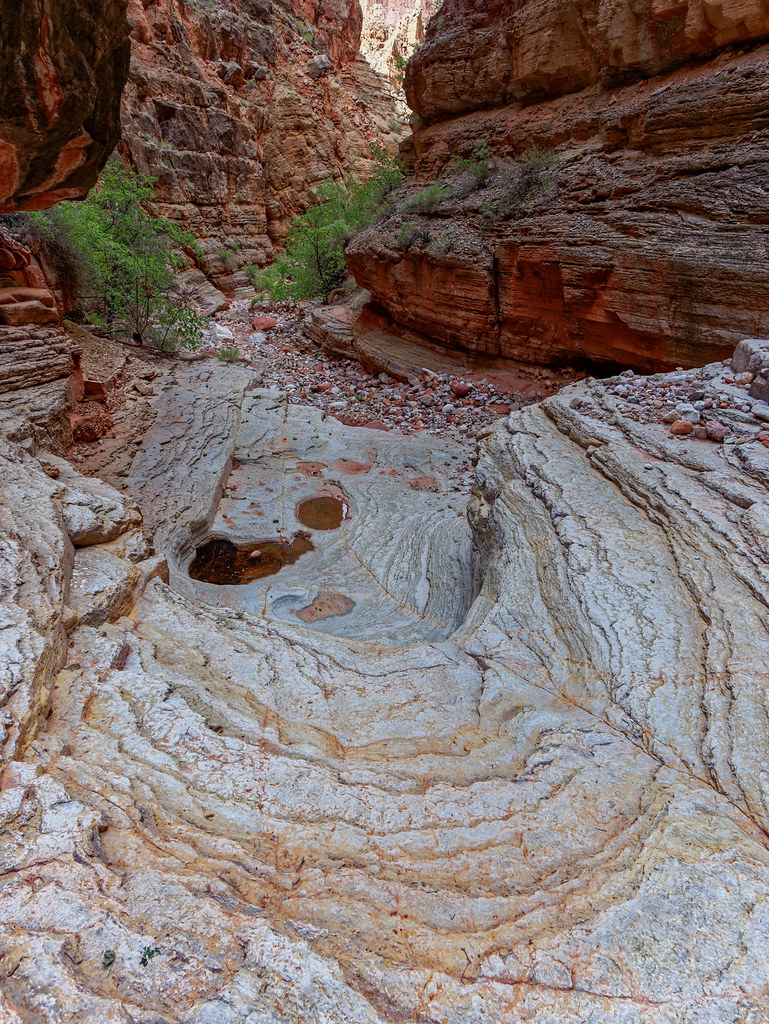
On our way back to our camp we were a bit surprised to find this well-developed trail and decided it had been constructed by rafters who regularly stop at Nankoweap Canyon to do some exploring.
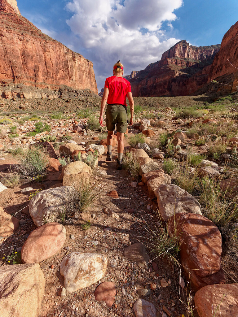
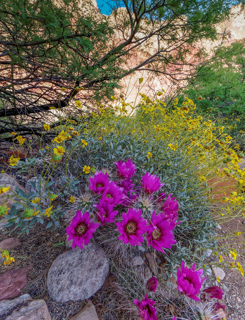
Spring, when the wildflowers and cacti are blooming, is a wonderful time to be in the canyon.
The next morning we hiked the short distance back up Nankoweap Creek to camp again.
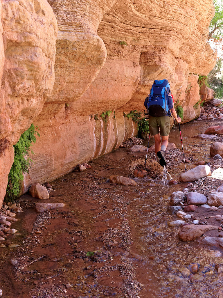
We found a lovely spring and decided to get some water.
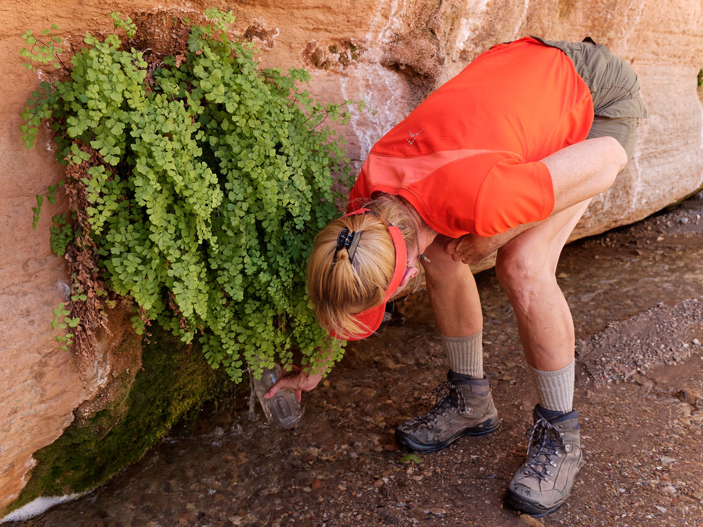
We continued up the creek …
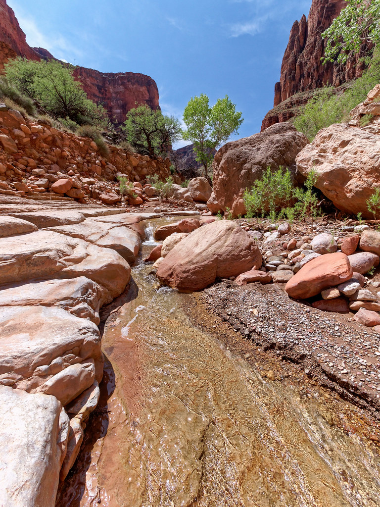
… and set up camp in a bit of shade.
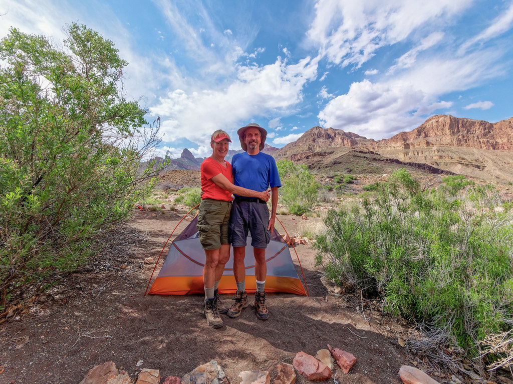
We explored up the canyon looking for a spring. While the water from Nankoweap Creek wasn’t bad, we had read that the water from the spring tasted better. However, we were unsuccessful.
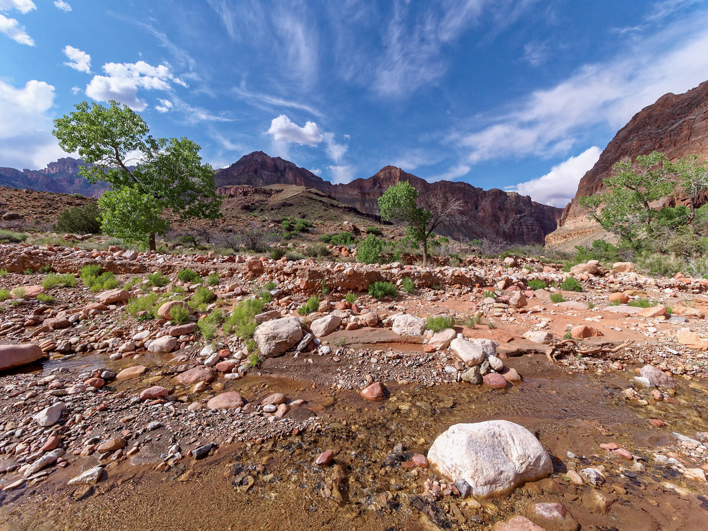
We returned to camp where I got comfortable and John headed out with his camera.
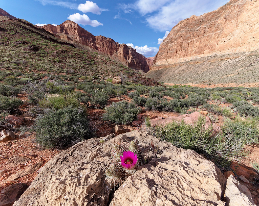
One advantage of backpacking with a photographer is you get to see photos of the area around you, even if you aren’t motivated to get up and go see it for yourself.
We got an early start the next morning as trails from the North Rim are notoriously hot and lack shade. Fortunately, as we had cached water at Marion Point, we were not unduly burdened.
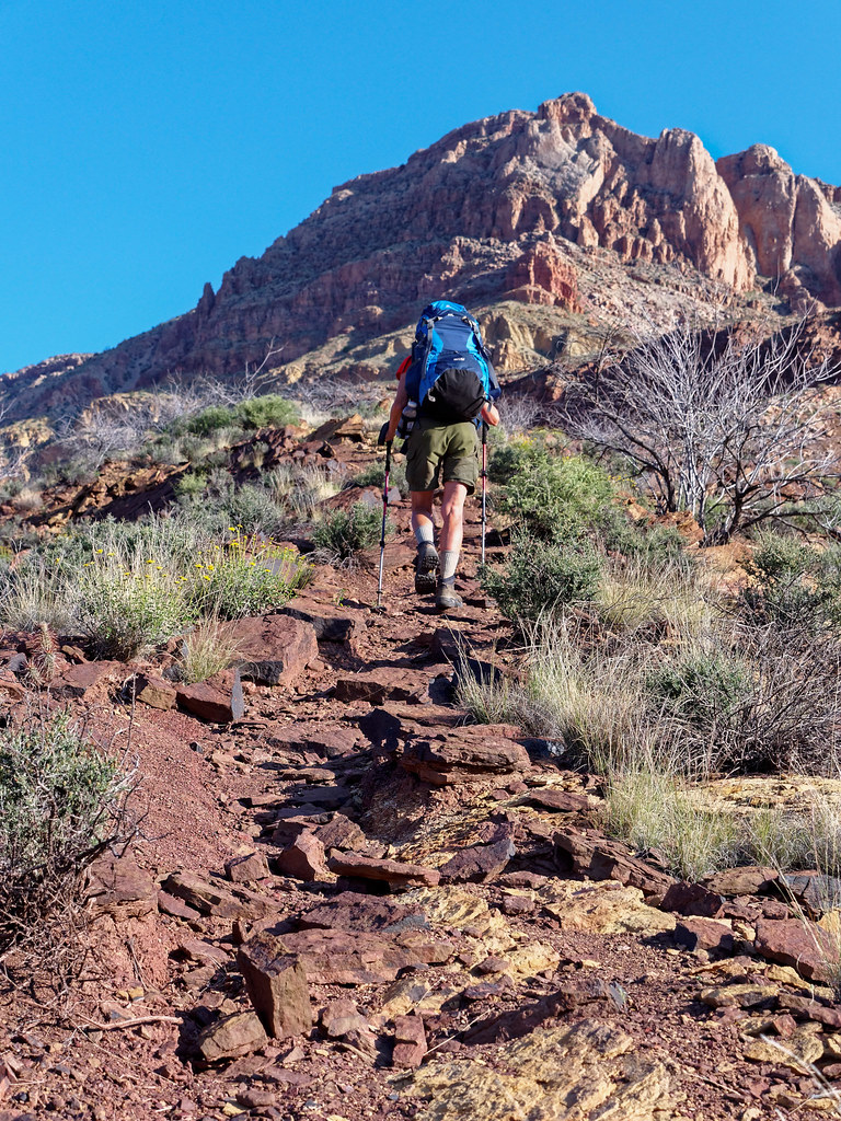
Still, it was slow going up the sometimes steep and loose trail.
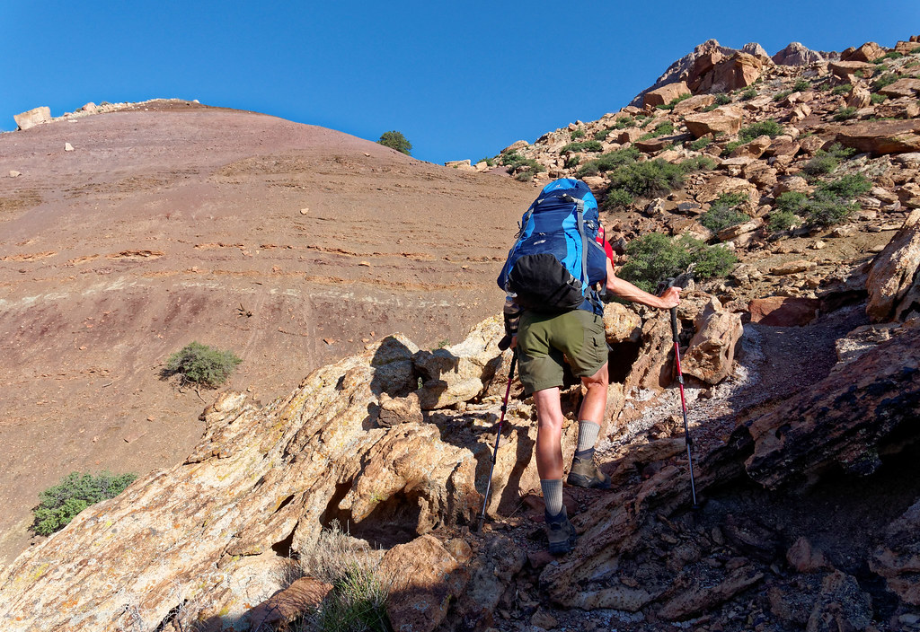
We were surprised to see this amount of construction on this more obscure trail. It is classified as an unmaintained trail but we found it to be in reasonably good shape.
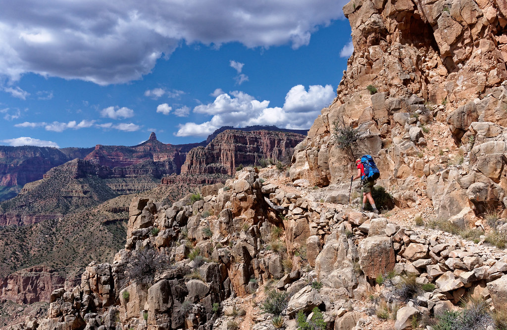
Once again we were treated to expansive views.
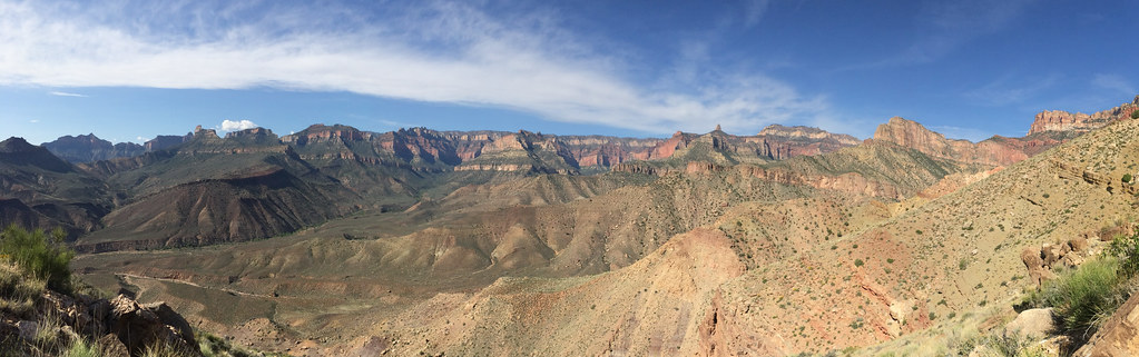
We were happy to reach the gate that marked the end of the steep uphill portion of the trail.
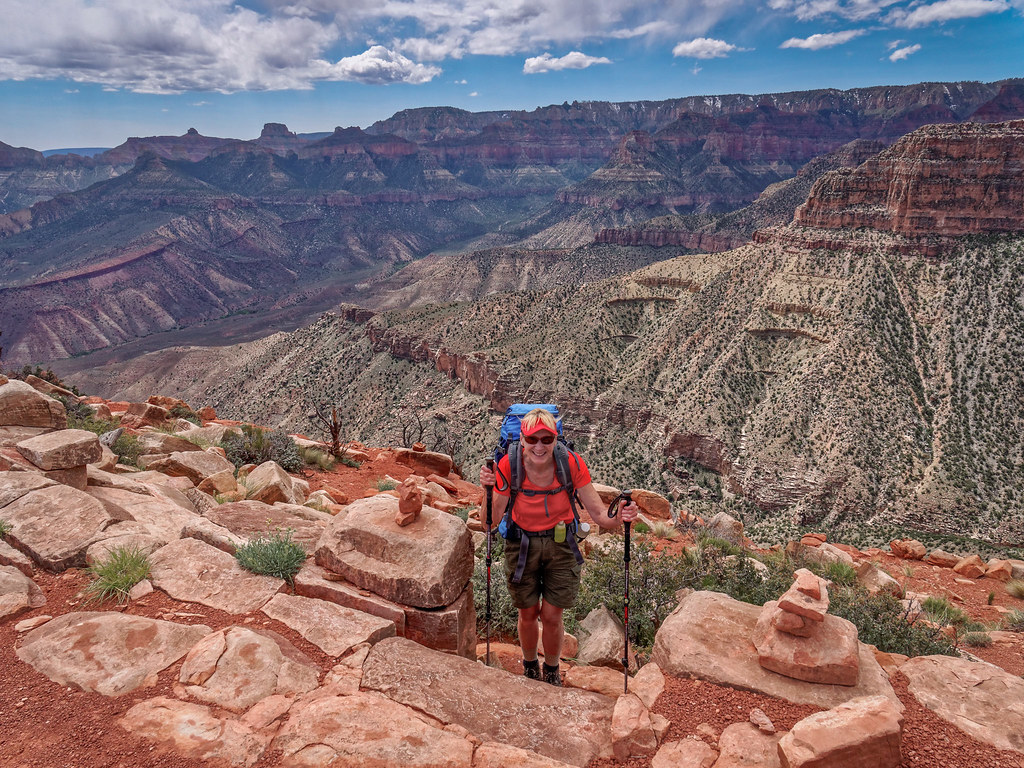
It was then time to get back on the endless traverse.
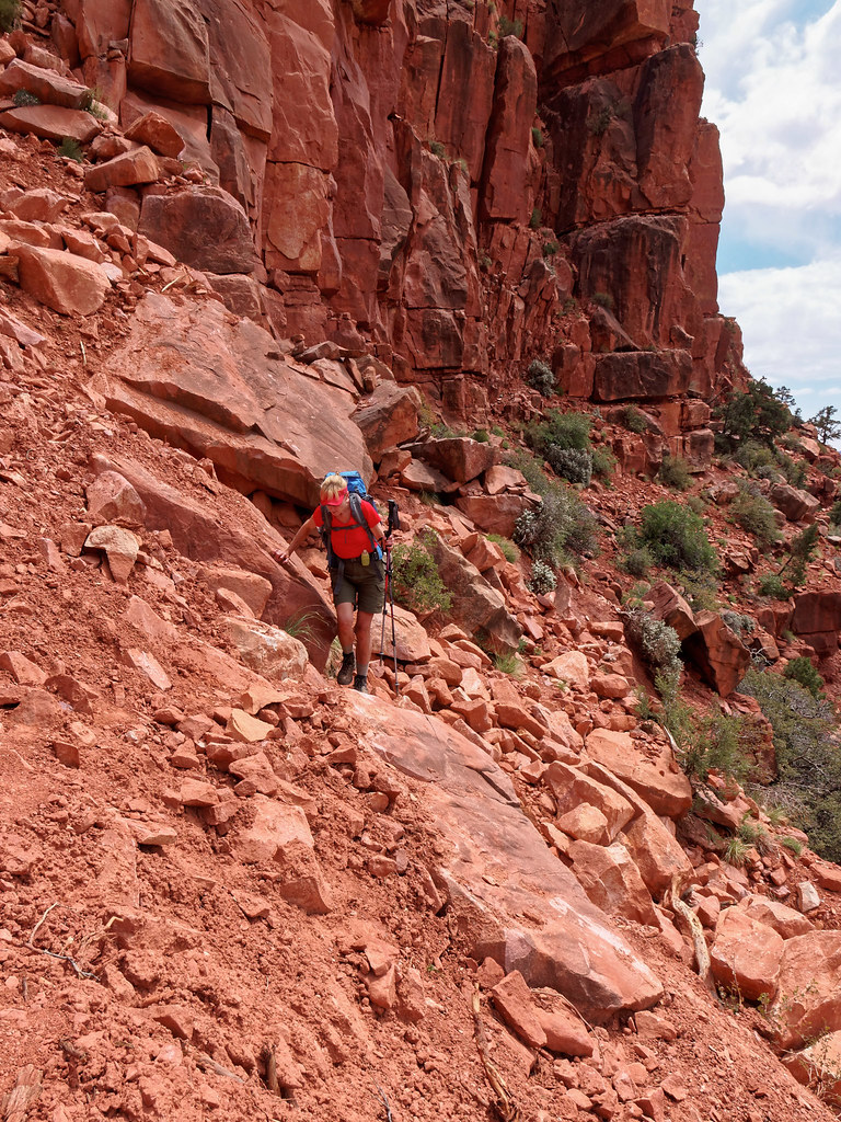
We again reached the one spot that made me more nervous. It really is not as bad as it looks.
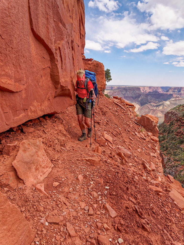
With Marion Point not far ahead, we knew we were nearly halfway back. We stopped briefly there to recover our cache of water.
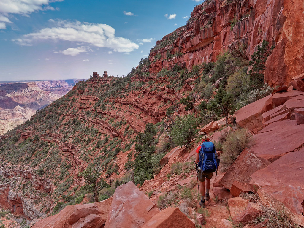
We continued and eventually reached the end of the traverse and had to climb back up the steep brushy trail to the national park boundary.
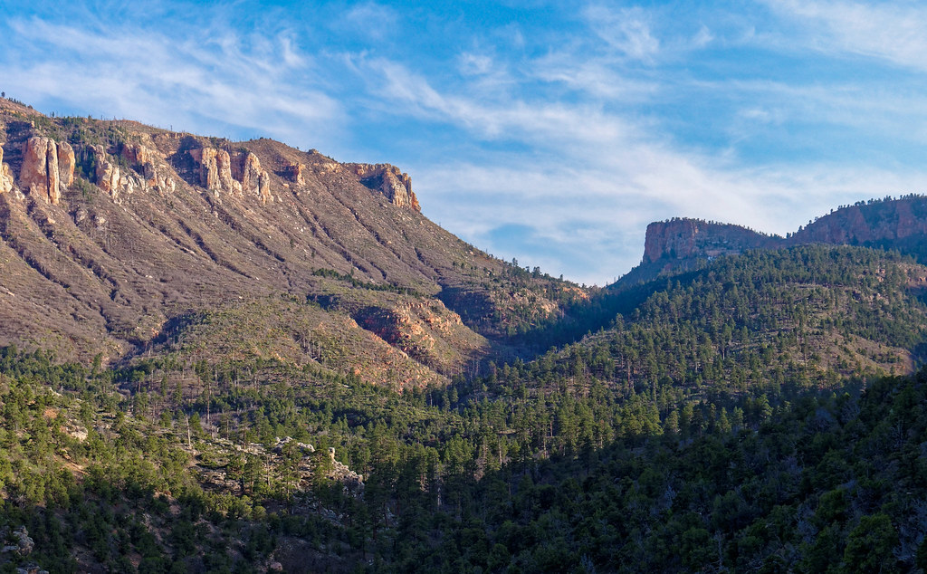
We then retraced our steps on the Saddle Mountain Trail and that last rocky climb out of the gully was surprisingly arduous. We were quite tired by the time we reached the trailhead. After all, we had just completed the most difficult trail in the park.
All photos from this trip are on Flickr.


Leave a Reply