In May 2017, we did a short backpack trip to visit the Keet Seel cliff dwellings within Navajo National Monument in Arizona. John was 64 and I was 63. Navajo National Monument is home to three well-preserved cliff dwellings formerly occupied by Ancestral Puebloans. Anasazi is a Navajo word meaning ancient ones. It is commonly used when referring to the people who once lived in the cliff dwellings in the Four Corners region, but the preferred term is Ancestral Puebloans.
Of the three cliff dwellings, only two, Keet Seel (Kitsʼiil/Broken Pottery) and Betatakin (Bitátʼahkin/Ledge House), are open to the public. The third, Tsʼah Biiʼ Kin/Inscription House, is closed due to its fragile condition. Navajo National Monument is situated within the Navajo Reservation but is administered by the Department of the Interior and we owe a debt of gratitude to the Navajo Nation for their willingness to open these sacred sites to visitors.
Getting to Keet Seel is a 17-mile round-trip day hike or an overnight backpack trip. While we are perfectly capable of doing a 17-mile day hike, we prefer having more time to appreciate our surroundings, so we decided to backpack to Keet Seel. We spent two days and one night at the Keet Seel cliff dwellings. Part of the beauty of these cliff dwellings is that they have not been as developed and commercialized as cliff dwellings such as those at Mesa Verde. Little has been done to increase access and the sheer physical effort required to reach them does exclude many individuals.
To visit Keet Seel, whether day hiking or backpacking, one must first obtain the necessary permit and attend the required orientation. No more than 20 permits for either day hikers or backpackers are issued per day. This has helped to prevent these ruins from being loved to death as is happening to so many of our public lands and national treasures. It is essential to remember that while Keet Seel is within the national monument, it is an island in a sea of private property. The Navajos living in the area have granted hikers permission to cross their land to get to Keet Seel but insist they don’t stray off the trail. I hope hikers do respect that as it is a privilege to be there and I would hate for them to feel the need to reconsider the arrangement.
The permit entitles you to quickly cross Navajo land and be taken on a tour of the cliff dwellings conducted by a volunteer ranger. If you obtain a permit and, for some reason, you don’t go, then please notify rangers as soon as possible as they will believe you are missing and will go to great lengths to find you. I am sure this is done out of concern for your safety, but I also assume it is done to help maintain the good relationship they have with the Navajos. Please be aware that if you get off route and don’t come out when expected, you could be fined.
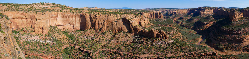
We were told the creek water could not be adequately treated to render it safe for drinking due to the many cattle and wild horses in the canyon. There apparently is a spring in the area and the Navajos allow the volunteer rangers at Keet Seel to use it. However, hikers do not have permission to use it. While some hikers apparently have located it and have shared this information online, it is imperative we all respect the wishes of the local people and follow their rules when on their property. Therefore, John and I each carried two gallons of water.
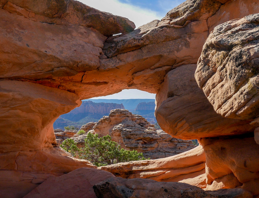
The trail to Keet Seel is initially somewhat steep as it descends about 1,000 feet …
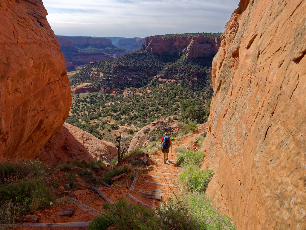
… to the canyon floor. We had been encouraged to cache some of our water near the trail just before dropping into the canyon, which we did.
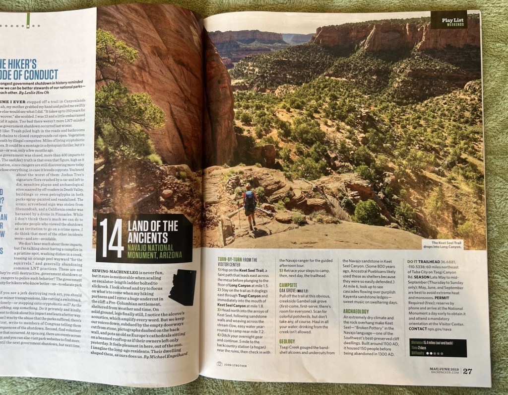
Sometime after John posted his photos to Flickr, Backpacker magazine reached out to him. They wanted to use this photo …
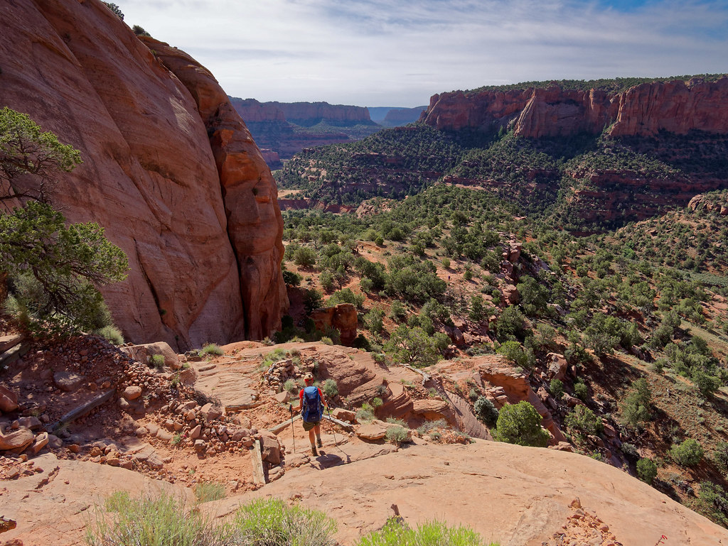
… in the May/June 2019 issue.
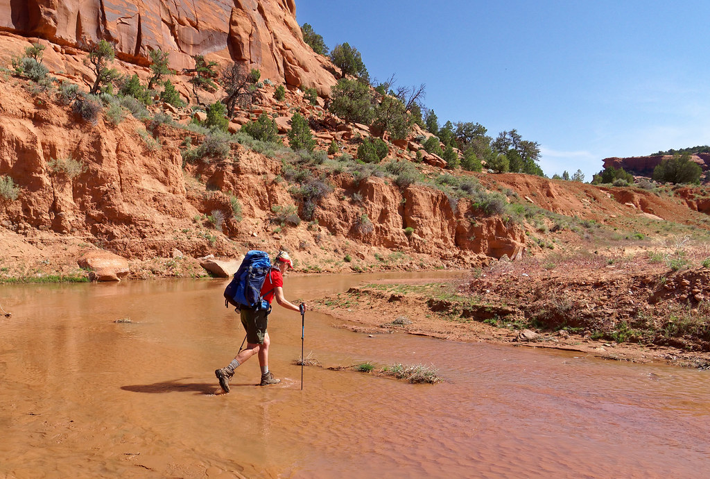
Once on the canyon floor, we needed to cross Laguna Creek, which was shallow enough that we were able to keep our feet dry by carefully stepping on sand bars or rocks.
Not long after crossing it, we turned and headed up Keet Seel Canyon.
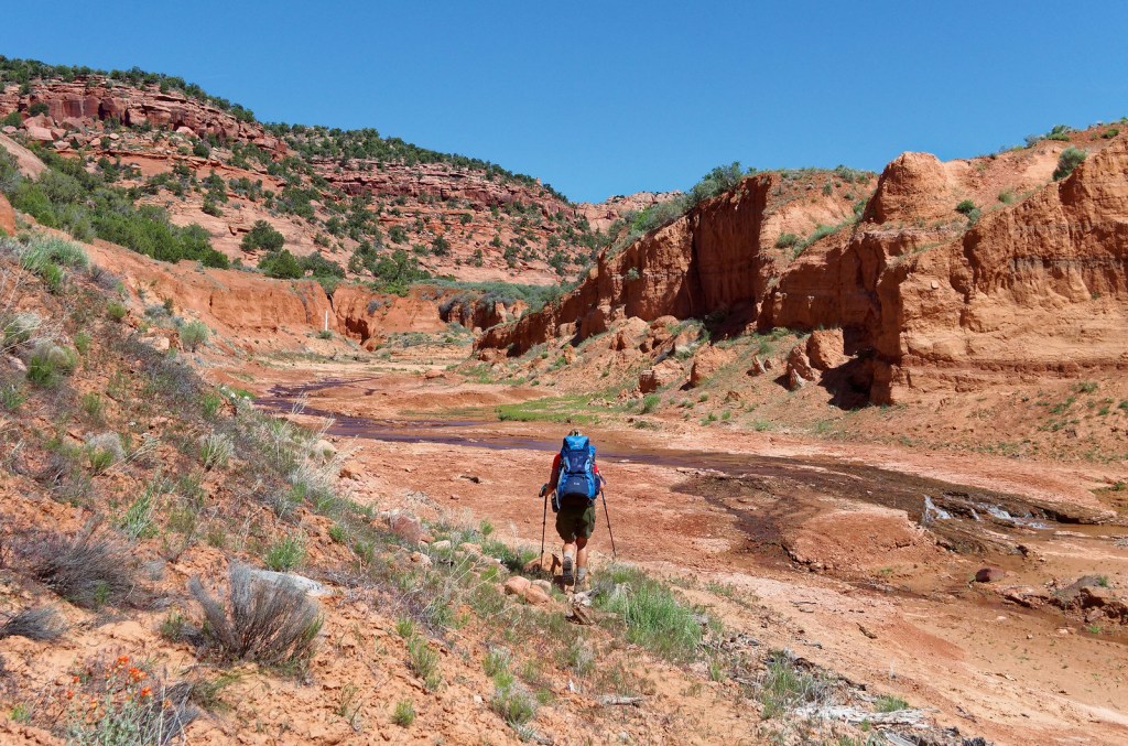
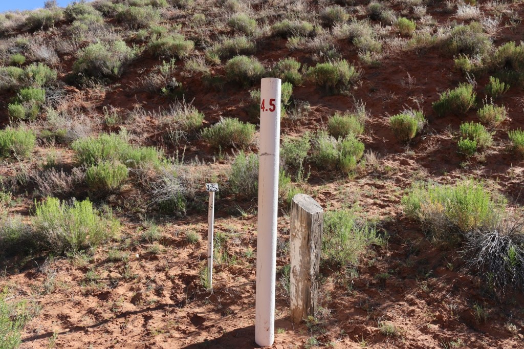
For the rest of the hike, we would be following Keet Seel Creek going back and forth, crossing it countless times. It becomes more of a route than a trail, but it is well marked with periodic trail markers.
Something we had been warned about was quicksand. We did encounter patches of saturated sand that was reluctant to support our weight for more than an instant. However, it did not match what books and movies have led me to believe quicksand actually is and it was not an issue as long as we didn’t stand still too long.
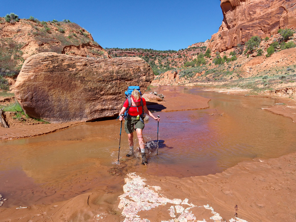
It is such a treat to be hiking in the desert along a creek …
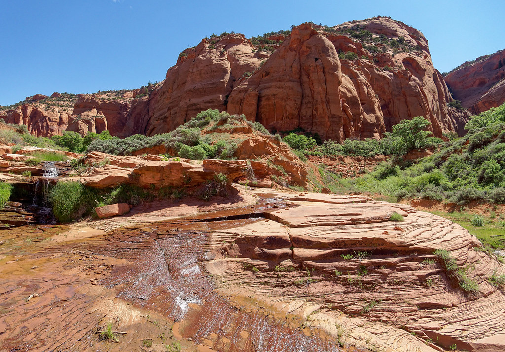
… and see the flowing interaction …
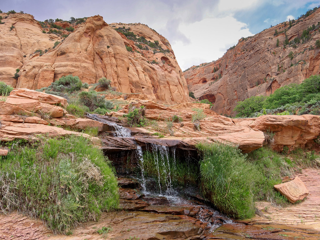
… between water and rock.
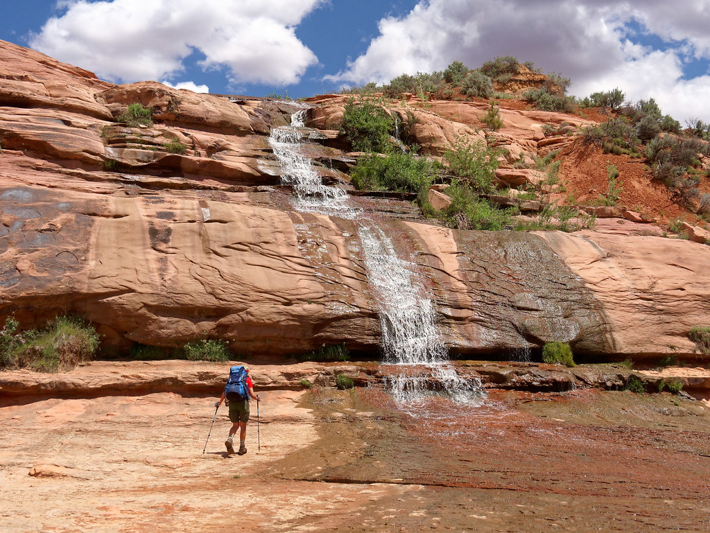
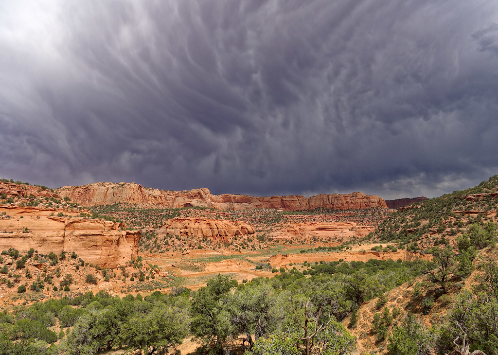
On this particular day, there was a 30 percent chance of thunderstorms in the forecast. While the sky started out to be a perfectly clear blue, later in the day clouds began forming over our heads. It reminded us of the afternoon thunderstorms common in Colorado for which we have a healthy respect. As the canyon narrowed, we became more alert. Even though it wasn’t raining where we were, we knew rain upstream in the distance could cause flash flooding.
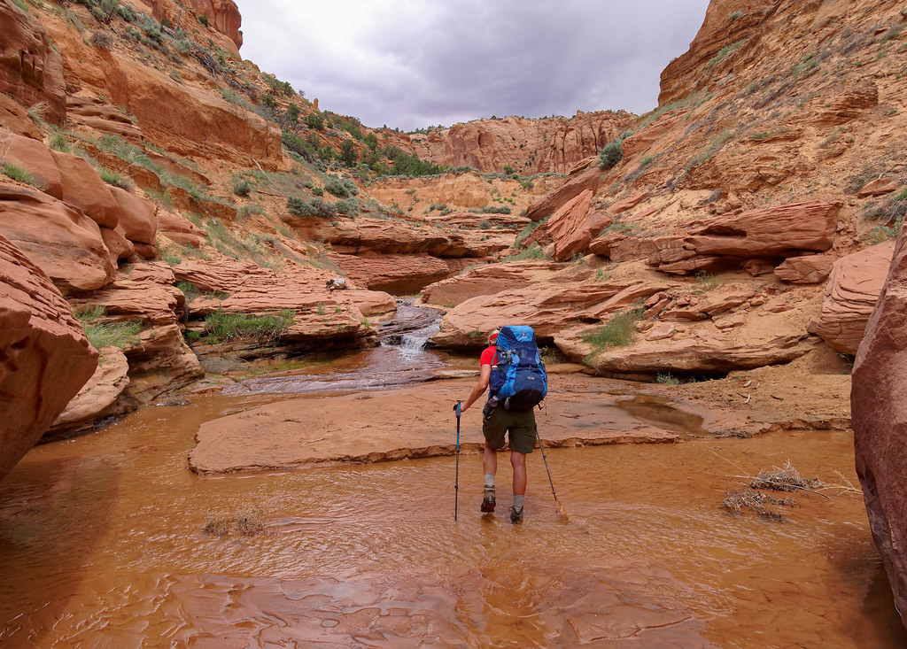
We had one route-finding issue. As I always watch where I put my feet, I sometimes miss the big picture and lead us off route. When we reached this spot, I continued ahead until deep mud slowed me down enough to rethink my decision. John had wisely hung back and located where the route left the creek bed.
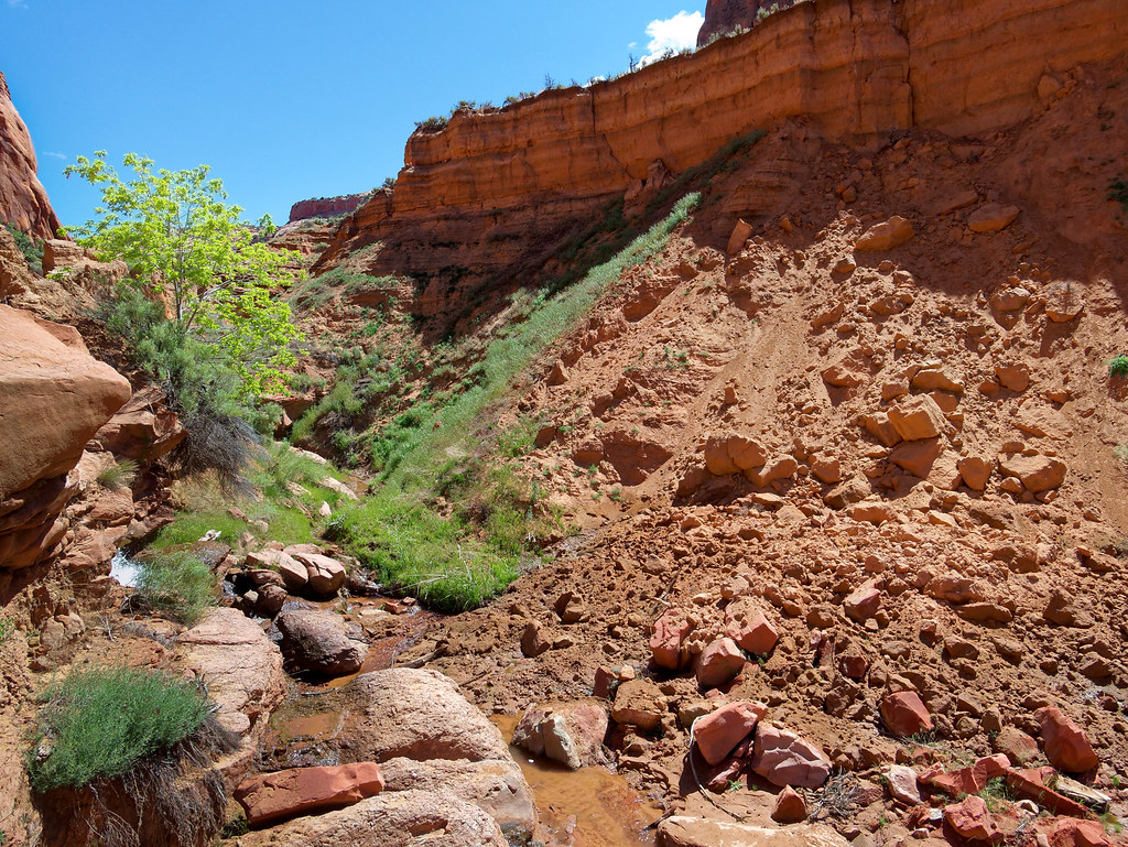
As we approached our destination, we encountered another backpacker who told us what time our tour would take place. The volunteer ranger prefers to limit tours to no more than seven people and as only 20 permits are issued per day that means he typically does three tours per day. We would be on the last one so we had plenty of time to set up our tent in the designated camping area located up the side trail pictured below.
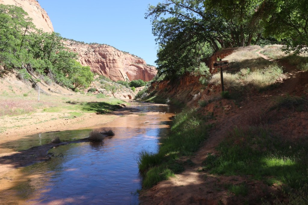
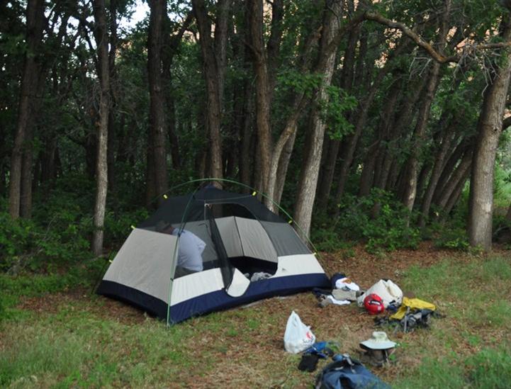
The camping area is located within a lovely shady grove of trees.
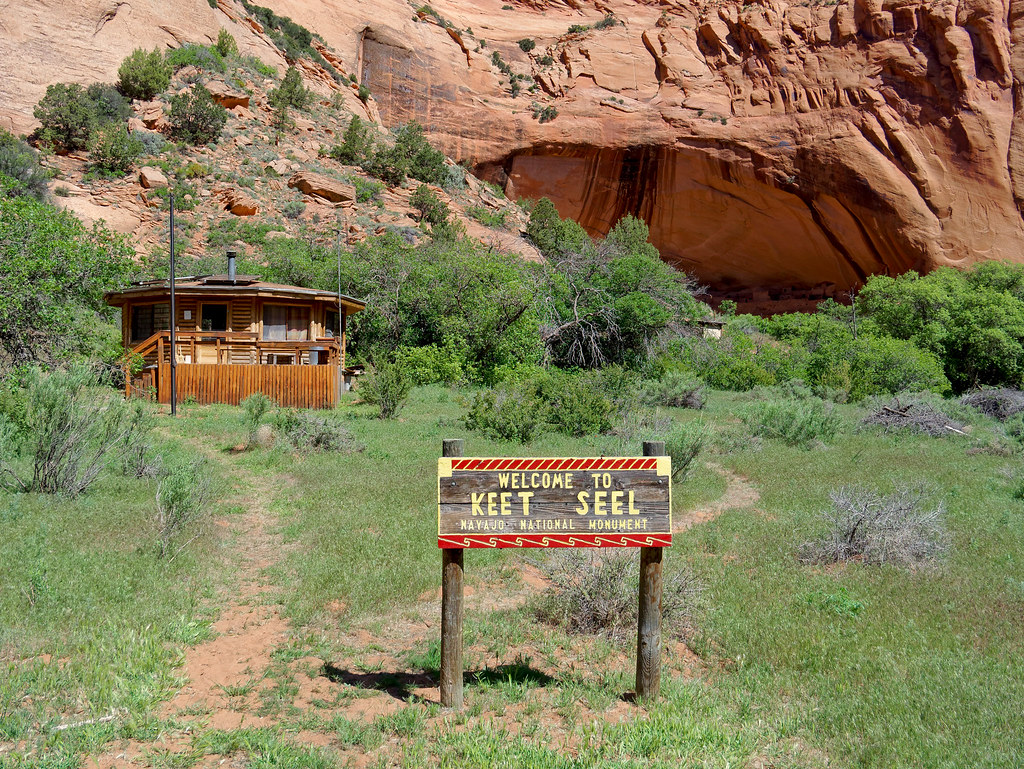
After setting up our camp, we continued upstream a bit and followed the well-worn track through the gate and onto this satellite portion of the national monument.
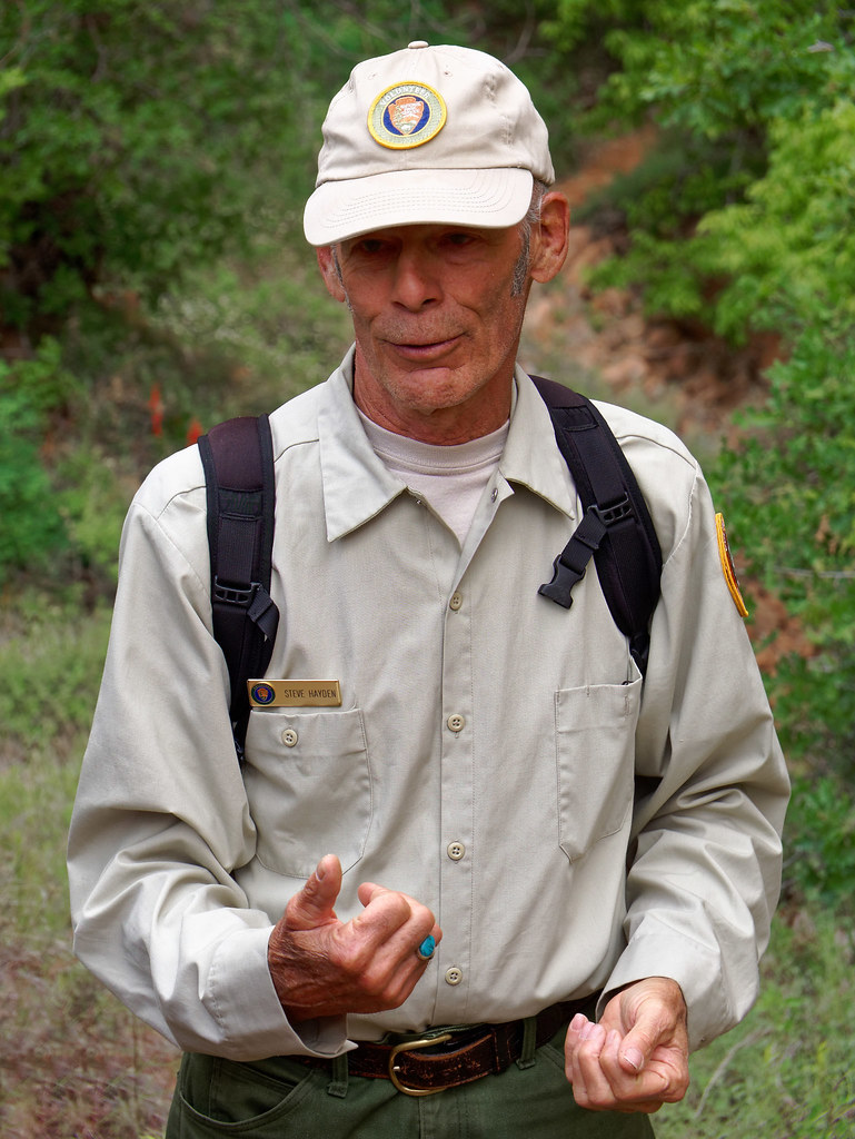
When we were there, Steve Hayden and his partner Diane were volunteer rangers who lived part of the year in a yurt near the ruins. Steve gave all the tours, which was so appropriate as he has a strong family connection to this site. Both his grandfather, Irwin Hayden, and his father, Julian Hayden, were involved in the excavation of Keet Seel in the early 1930s. Little was known about the excavation until after Julian’s death and Steve found his diary. He was in the process of transcribing portions of it and compiling it into a book.
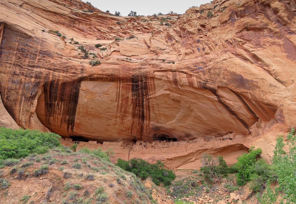
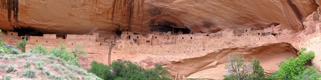
Keet Seel is considered to be the largest and best preserved cliff dwelling in Arizona. The area was first occupied about 1250 and it is thought that as many as 150 people lived here until it was abandoned (around 1300) after prolonged drought.
To get up into the site …
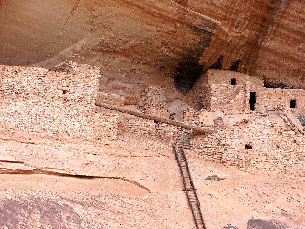
… one must first ascend a long ladder.
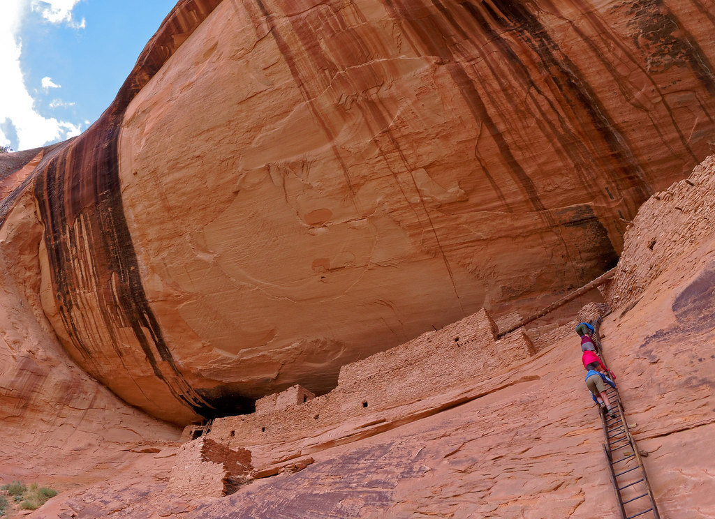
With only seven people in the group, it was a much more intimate tour than we experienced in Mesa Verde. Steve does such an excellent job on these tours, I cannot even begin to paraphrase the wealth of information he provided. A particular advantage to being part of the last group of the day was that no one had any time pressures. Steve was content to answer all of our questions and seemed to appreciate our attentiveness. Understandably, those who hike to Keet Seel for the day undoubtedly feel a need to keep an eye on the clock.
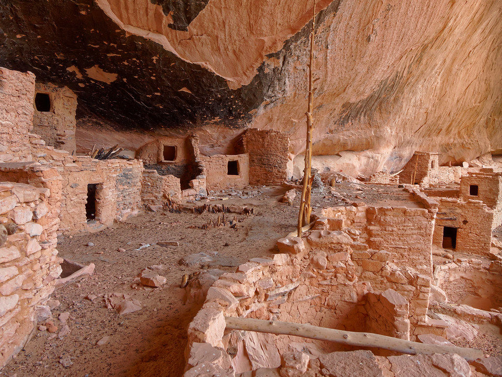
As we slowly walked through the ruins, it was interesting to see the variety of construction techniques.
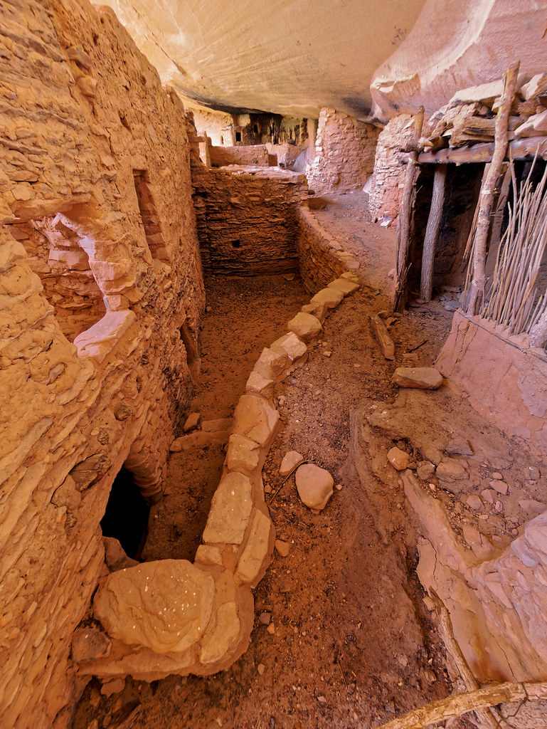
Walls constructed of shaped stones seemed to be the most common …
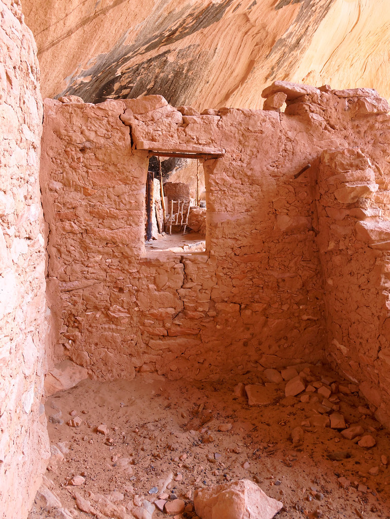
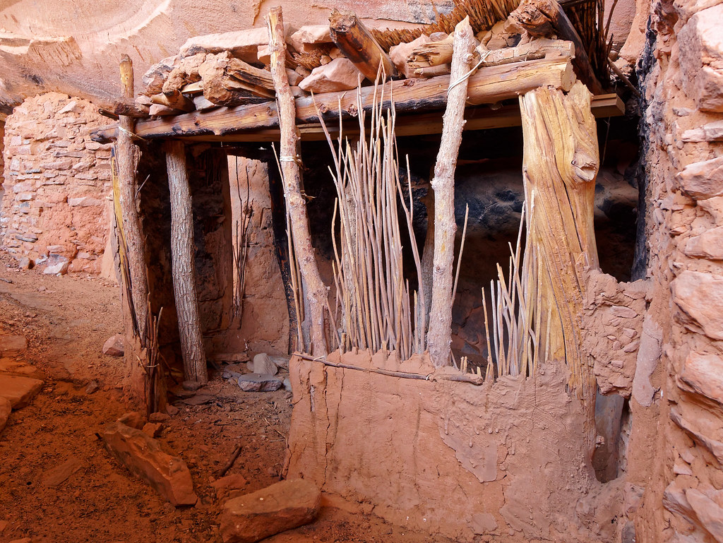
… however, some walls utilized small trees and branches covered by mud. One can see the necessity for roofs …
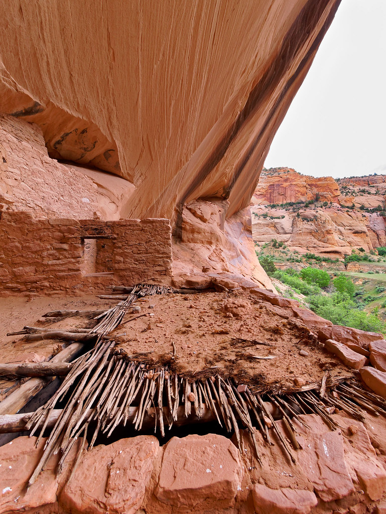
… but I wondered why it was sometimes used for walls. We saw other evidence of a divergence from what may have been considered more traditional building methods and styles. I wonder if the people who built their dwelling this way were considered to be unconventional or innovative.
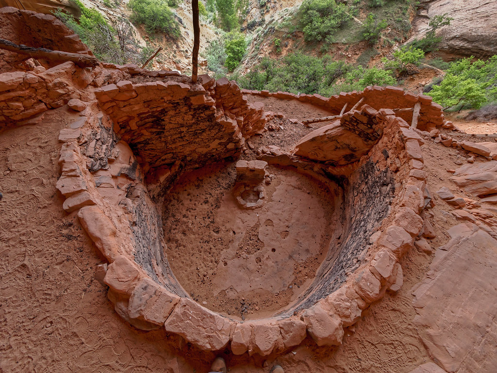
Kivas were subterranean rooms used by Ancestral Puebloans for spiritual gatherings.
Apparently there are indications the people who once lived in Keet Seel intended to return sometime in the future and left many of their possessions behind. Undoubtedly, many artifacts have long since been removed from the site but there are still some remnants left.
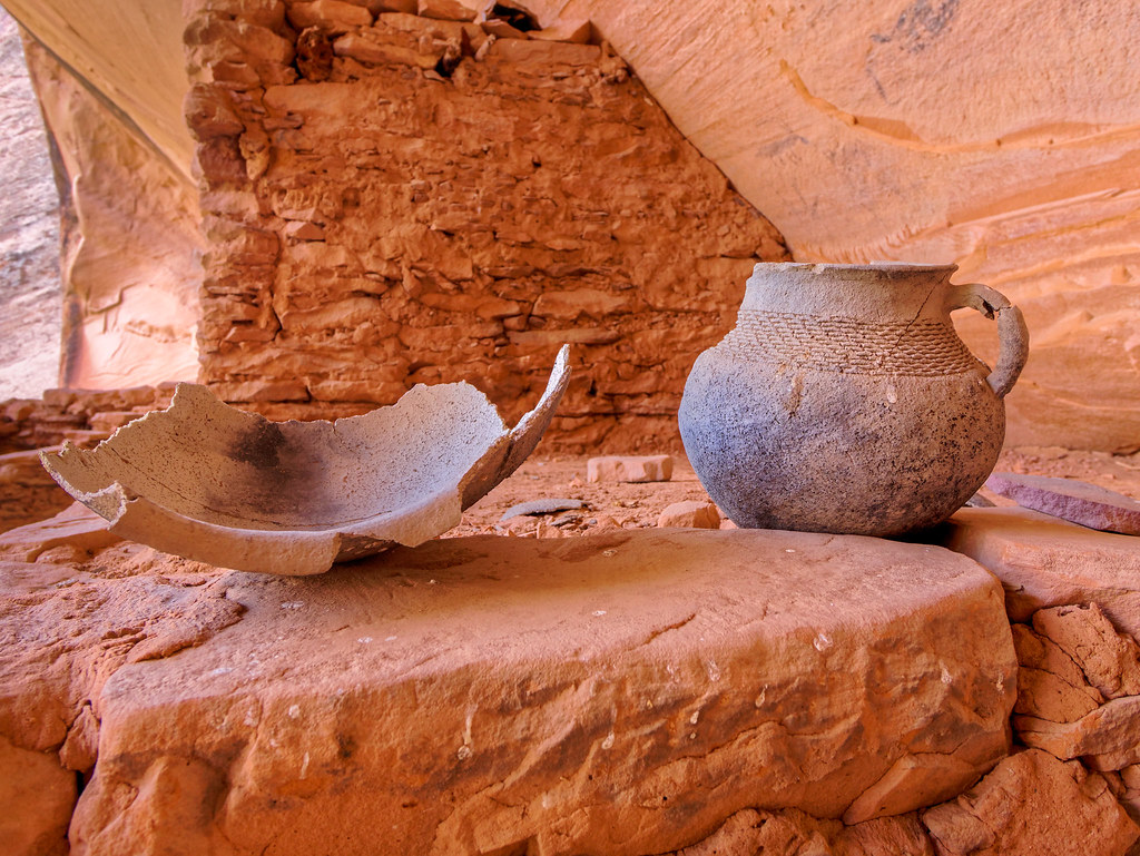
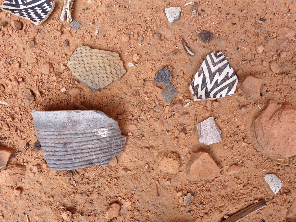
The wide variety of pot sherds scattered around the base of the site, the midden, illustrates some of the amazing creativity and skill of the potters. It is wonderful to think that people who obviously had to work incredibly hard just to survive were willing to devote so much time to creating art out of a utilitarian object such as a clay pot.
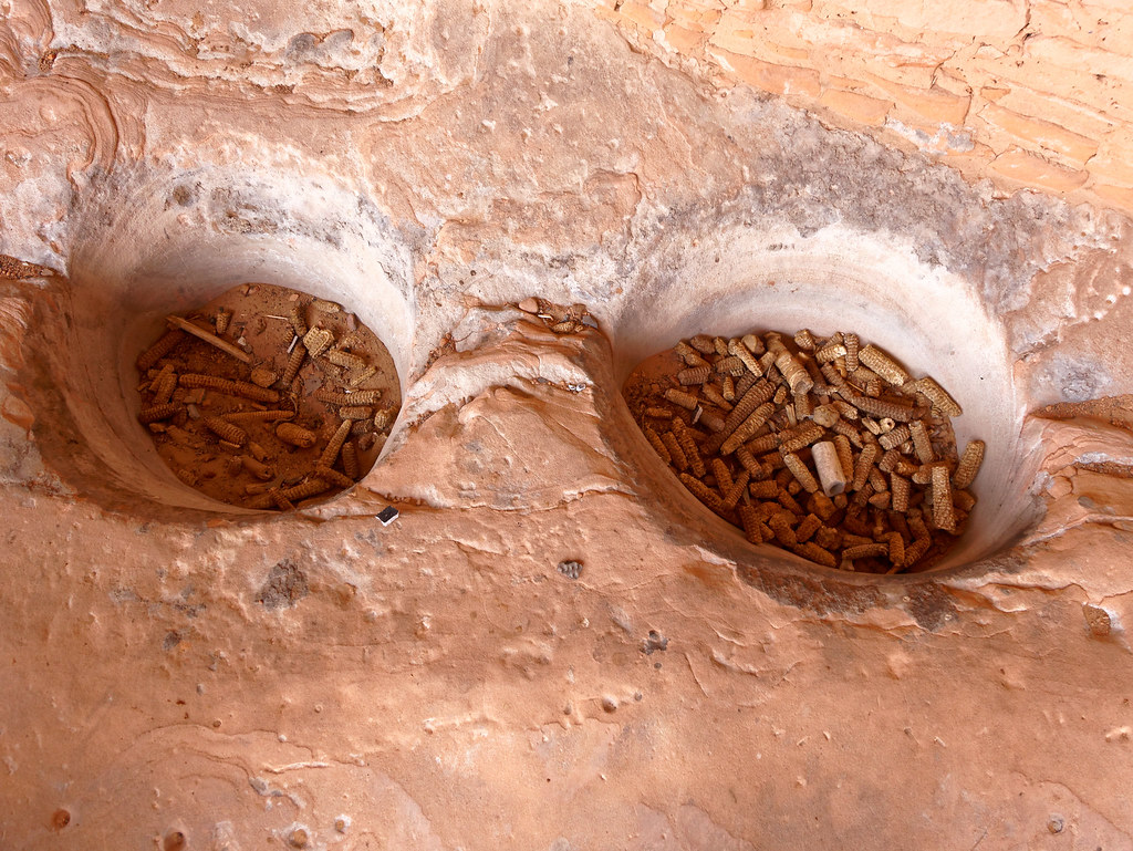
The Ancestral Puebloans subsisted by hunting and farming, growing maize, beans, and squash and storing them in bins such as these.
Crops were grown on top of the mesas and there was only one way to get up there – climb. Looking up at this rock face, I found it difficult to imagine what it would have been like to climb up it (much less back down) on a regular basis. Of course, I saw it through the eyes of a 63-year-old woman with a fear of heights and who can drive to a grocery store. I realize it would be a different matter to look at it with the mindset of “climb up it or we all go hungry.”
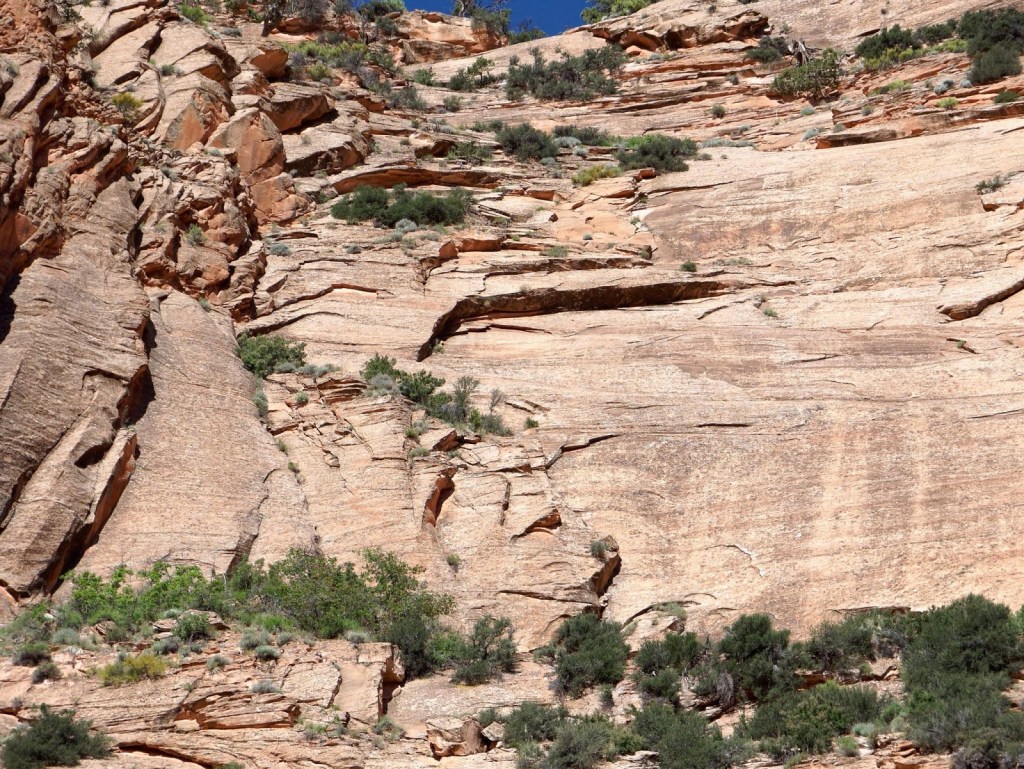
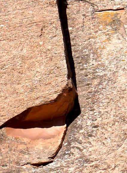
And I would imagine experienced rock climbers would have no trouble with it, especially because where the natural rock did not provide the necessary handholds and footholds …
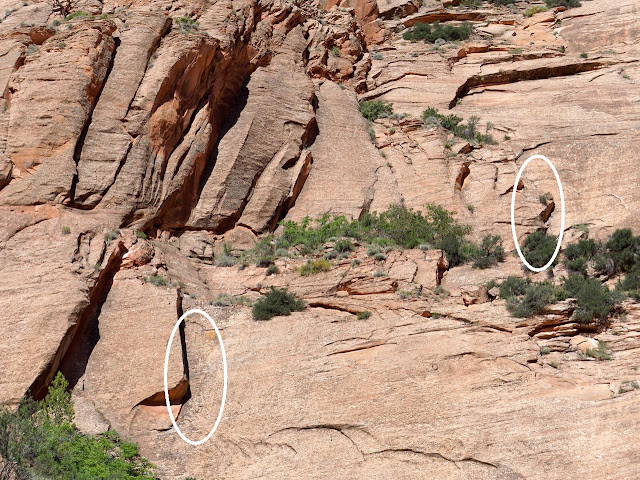
… small indentations were cut into the rock where needed for footholds and handholds. These are known as Moki steps.
After the incredibly interesting tour, we all headed back to the camping area, but the following morning, John and I went back for one last look. We were in no hurry to leave and there are some well-placed benches providing an expansive view. We both enjoyed just sitting there in the quiet solitude. However, once we started hearing the raucous (at least to our ears) voices announcing the arrival of some of the day hikers, we decided it was time to go.
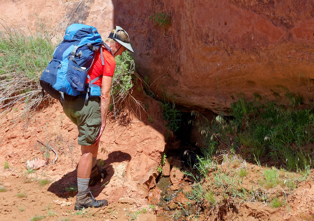
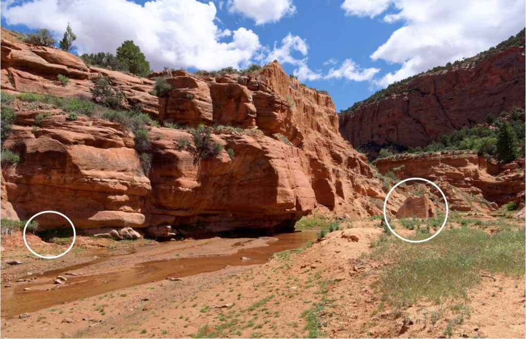
Our hike out was uneventful and we were grateful for our much lighter packs. Something worth noting is that while the ranger doing the orientation at the Visitor Center told us we had to carry all of our water, Steve told us about a spring along the trail we could have used. It is located about a mile (or so) downstream from Keet Seel.
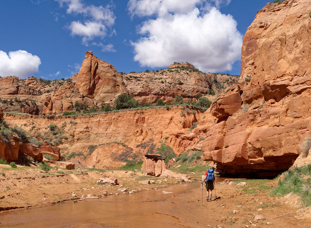
He said to look for a large rock with a charred log balanced on the top and that the spring is located under a ledge on the opposite side of the creek.
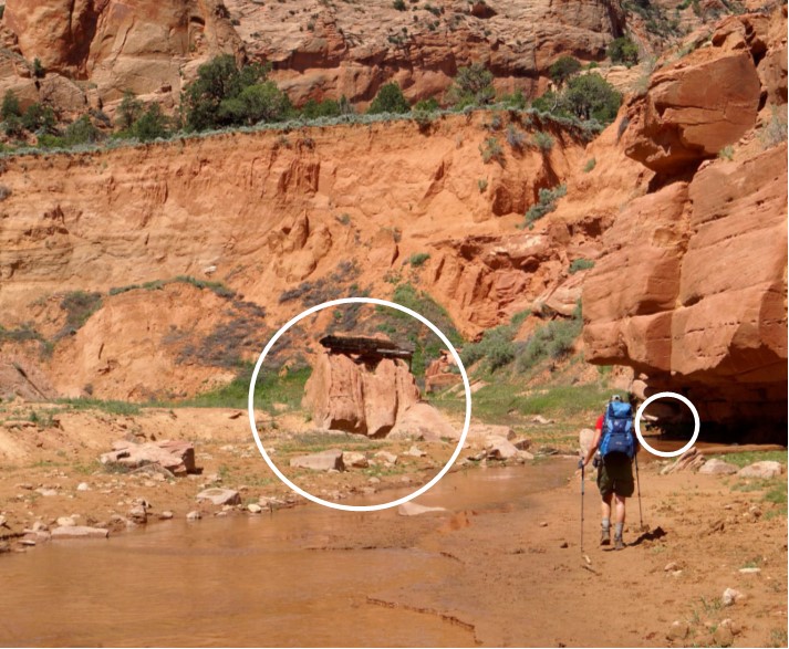
It appears to be a fine clear spring that could be perennial.
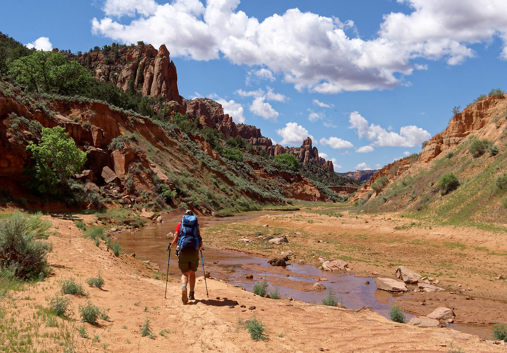
This is what it looks like heading upstream.
We continued the easy hike along the creek …
… and as it had happened the day before, more clouds formed overhead as the day progressed.
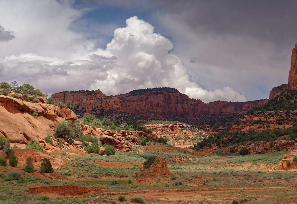
But no rain fell on us and we completed our hike without incident.
This trip wasn’t the kind we usually do when we want to get away from civilization. However, the Keet Seel cliff dwellings are someplace we have wanted to visit and we feel privileged to have been given the opportunity.
All photos from this trip are on Flickr.
While we were in Navajo National Monument, we also did a tour of the Betatakin cliff dwellings. We had our choice of doing a strenuous 5-mile round-trip hike or a very strenuous 3-mile round-trip hike.
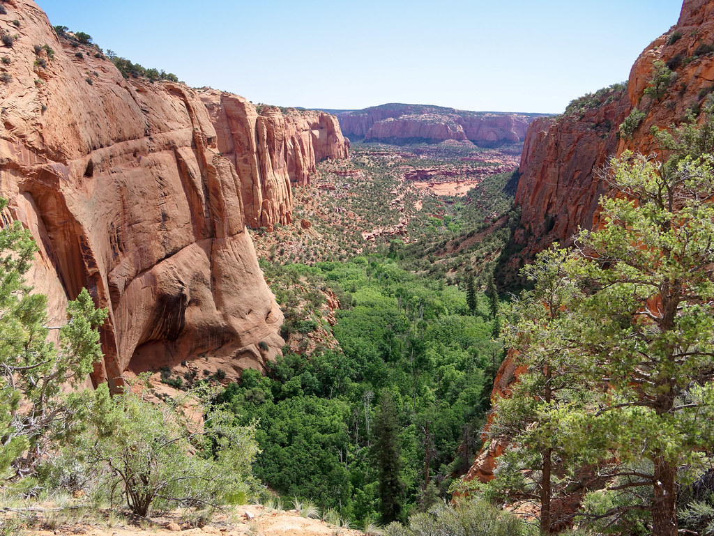
The difference was that the longer hike utilized some of the same trail that goes to Keet Seel. As we had already done that, we opted for the shorter but steeper trail.
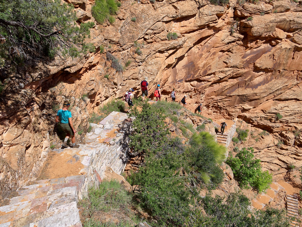
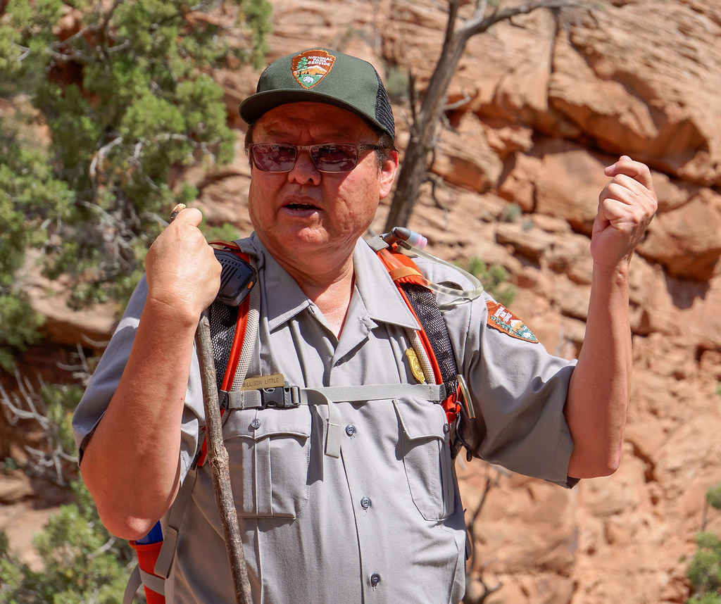
Our Navajo guide was very knowledgeable about the culture of the people who had once lived in the area. Periodically, as our group made their way down the steep trail, our guide would stop and tell us about the different plants, both their practical and their medicinal uses. Steve Hayden had told us how good the Navajo guides were and how different their approach to giving tours was from his. And it’s true. Whereas Steve came to it from an interest in archaeology and a site his father and grandfather had worked on, the Navajo guides described the lives of their revered ancestors.
As is common with cliff dwellings, those at Betatakin were constructed within a large alcove.
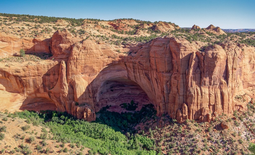
This site is not as large as Keet Seel and visitors are not allowed to actually enter it.
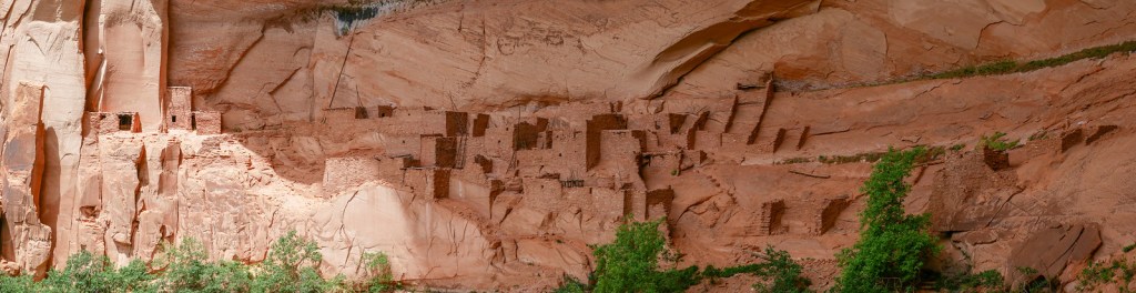
We realized it might have been best to have visited it before having been to Keet Seel.
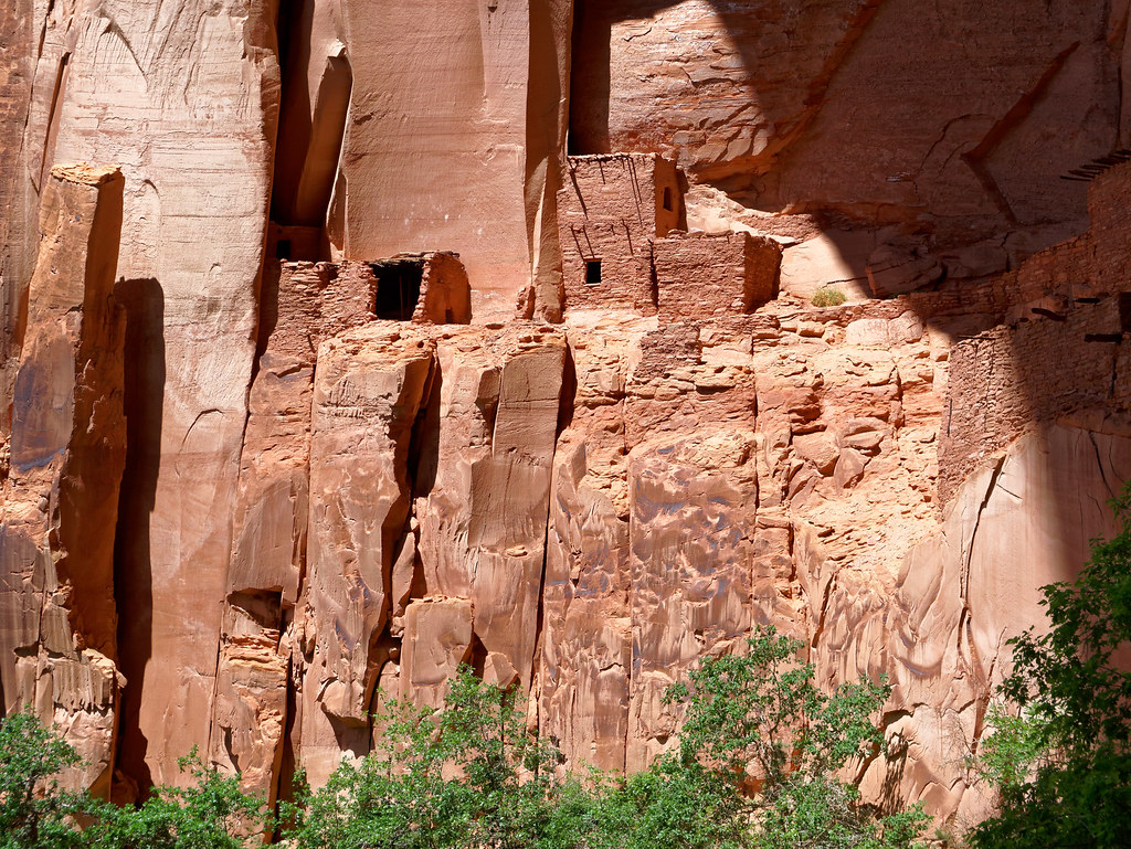
Being limited to viewing it from a distance as part of a larger tour group really made us value the more intimate experience we had at Keet Seel even more.
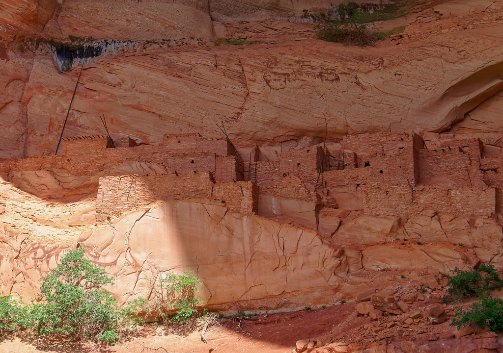
However, Betatakin is accessible to more people and is definitely well worth visiting.
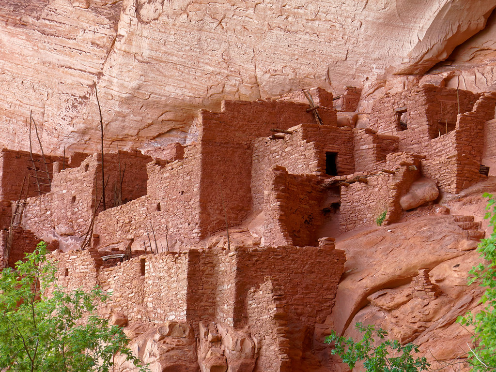
After our tour, we headed up the steep trail.
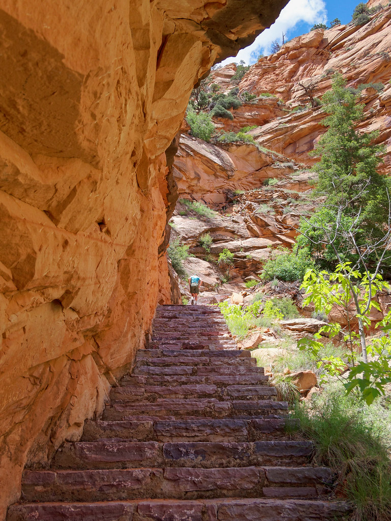
We left Navajo National Monument well content with our experience, and hopefully we had a slightly better understanding of the people who once lived here.
All our photos of Betatakin cliff dwellings are on Flickr.


Leave a Reply