In May 2017, we did a six-day, five-night backpack trip on the North Bass Trail in Grand Canyon National Park. John was 64 and I was 63. We had wanted to do the North Bass Trail (Trail Description) for a while. However, trails originating on the North Rim are tough because it doesn’t open until May 15 and by then the inner canyon is really heating up.
Another complication is that the Swamp Point Road to the North Bass Trailhead is usually blocked by many downed trees after the harsh winter. The Park Service may not get the road cleared until late May or even early June. Typically, those who want to hike North Bass try to obtain permits for October. Any earlier and it is still too hot, but any later and winter is on its way, so driving out from the trailhead may require the use of a chainsaw to clear newly downed trees.
Consequently, October permits are in high demand and difficult to get. Thus far, we have been unsuccessful. Since we were already planning to be at Grand Canyon in early May, we decided to try to get a mid-May permit for North Bass. And we did! Our permit was for five days and four nights. The plan was to camp somewhere along White Creek the first and fourth nights and at Shinumo Creek the second and third. On the layover day we would hike down to the river.
However, shortly before we were due to start, we got an email from the Park Service stating the road to the trailhead would be closed until late in the month. We were disappointed but not surprised. We then had two options: bag the trip and try again for October or walk the additional eight miles each way on the road to and from the trailhead. We decided to give it a go and walk the road. In hindsight, we should have extended our permit an additional night (or two) to accommodate the additional 16 miles. But you know what they say about hindsight.
Our plan now was to camp the first night at Muav Saddle, located about a mile down the trail below the rim. Fortunately, there was reported to be a spring located about a quarter mile further down the trail. As we would be camped much higher with colder nighttime temperatures than we originally planned for, we took warmer sleeping bags and more clothing. In addition, there was a 50 percent chance of rain in the forecast, so we took full rain gear (our system at the time included pack cover, parka, lightweight rain kilt and gaiters). As a result, our packs were going to be heavier than we are accustomed to carrying in the canyon but at least we wouldn’t need to carry copious amounts of water at any given moment.
We had driven to the gate the day before to make sure there weren’t any issues getting at least that far. We had to drive around a couple of downed trees (as others had obviously done before) and encountered a bit of mud, but it wasn’t anything our Jeep Cherokee Trailhawk had trouble with.
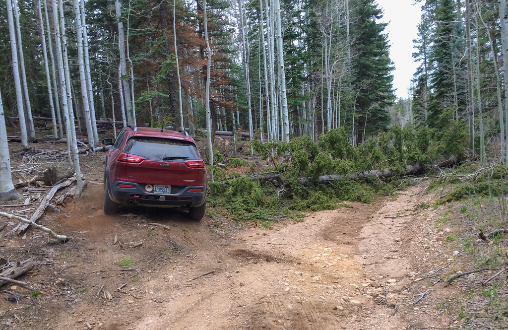
The next morning, we returned to the gate and set out. It was chilly—so chilly there were a few snow flurries. But at least it wasn’t raining.
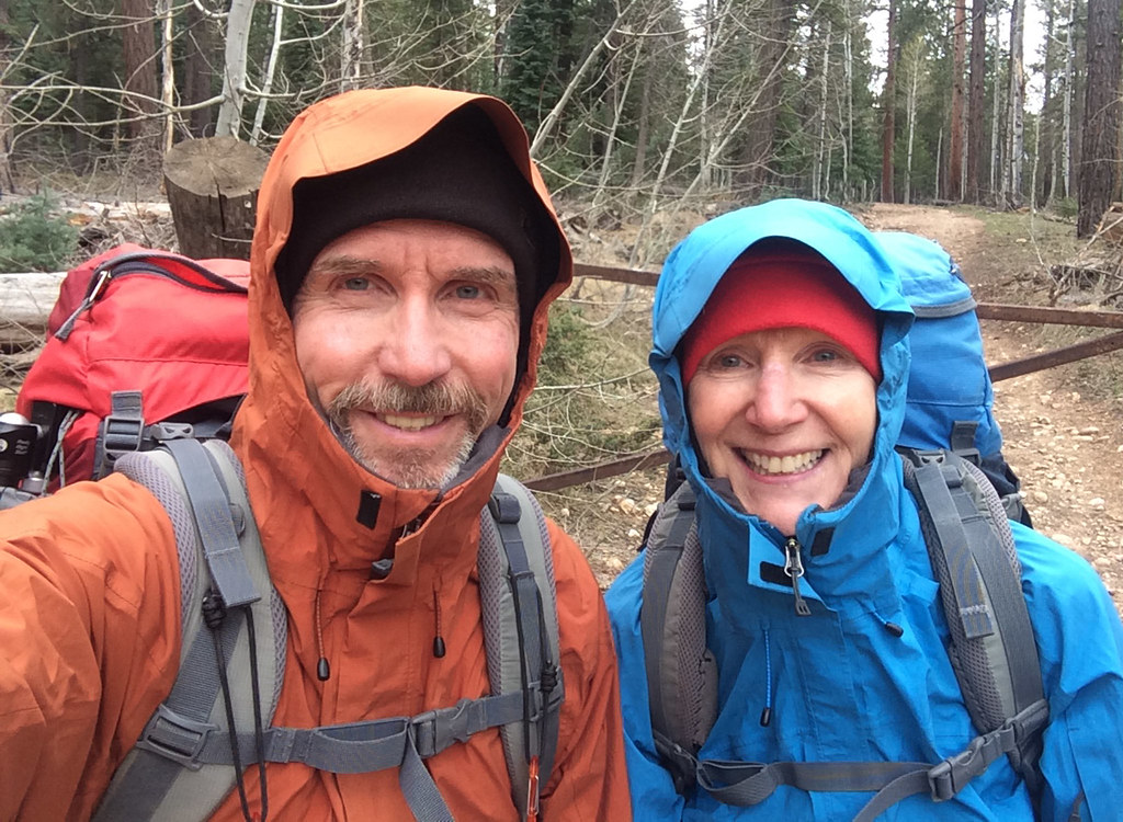
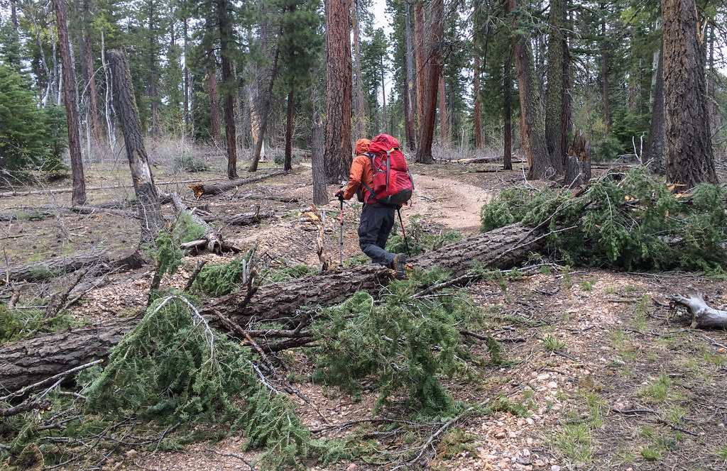
The walk along the road was uneventful and most of the downed trees—John counted 45 in all—were not too much trouble to go over or around. There were some thorny shrubs we needed to carefully avoid but we remained unscathed for the most part.
Once we reached the actual trailhead, we happily headed down the trail. Every step we took without rain was a blessing.
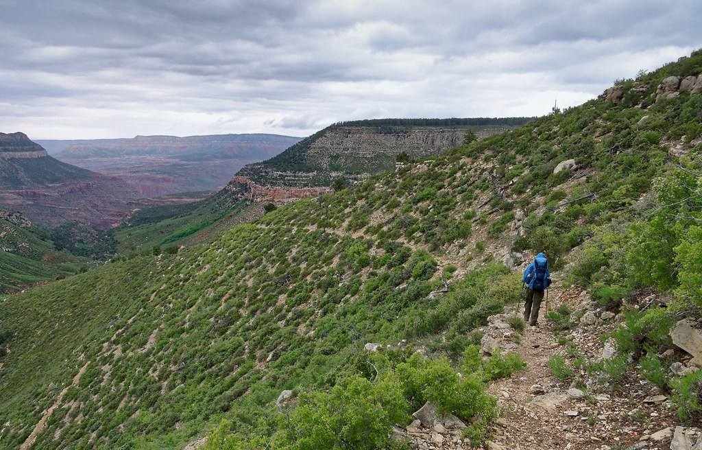
In fact, it did not begin to even sprinkle until we were nearing Muav Saddle.
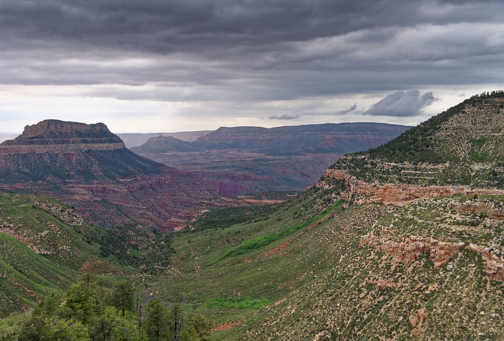
There is an old ranger patrol cabin at Muav Saddle. As there is a concern about hantavirus, backpackers are advised not to sleep inside it. But we thought, if necessary, it would be okay to just cook and eat supper in it. Once we reached the cabin it started raining in earnest and we were very grateful for the shelter.
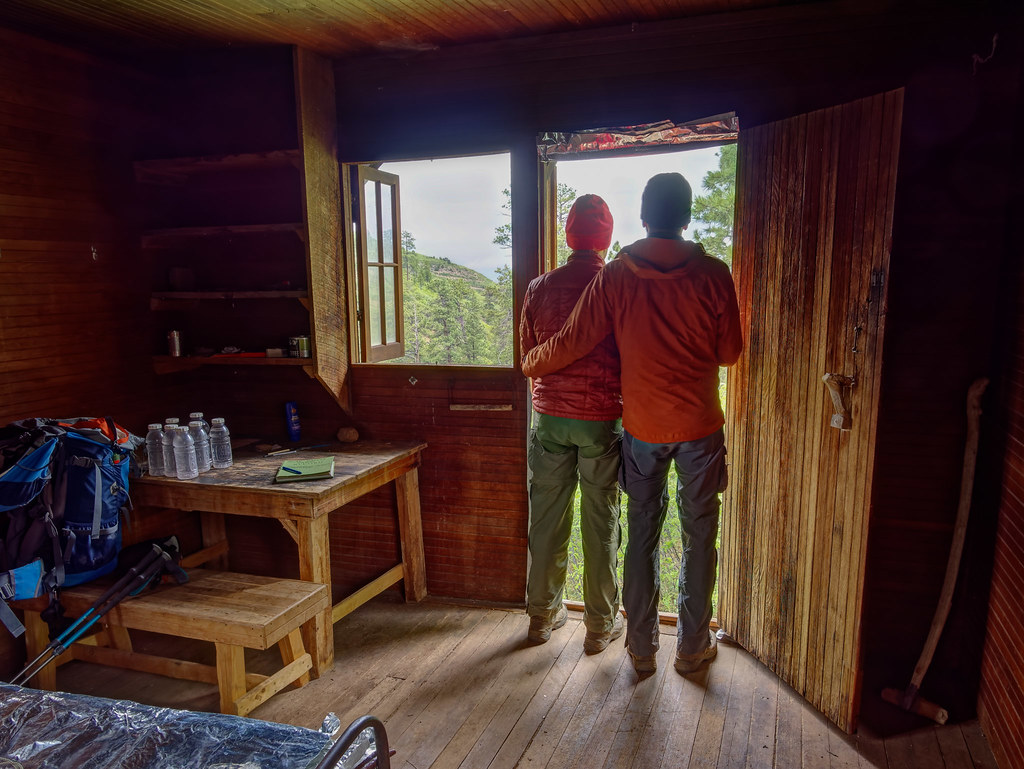
When the rain, alternating with hail, continued, we began to dread the prospect of setting our tent up in the rain and risking getting any of our gear wet so early on the trip and while it was still so chilly. We gave it some thought and decided to sleep in the cabin. We first moved the two cots out of the front room and then carefully swept the floor (with the very funky handmade broom we found in a corner), avoiding kicking up any dust or breathing very much.
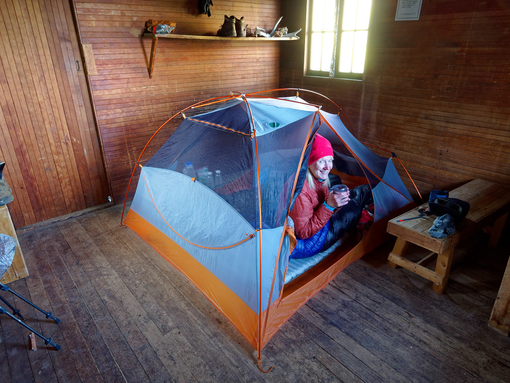
The next morning was cold, but the sky was clear and blue. The rain had frozen into beautiful glittering drops of ice on the leaves of the shrubs surrounding the cabin. We had intended to get an early start but have always struggled to move very fast when it is cold. On previous trips within the canyon, when we knew we would face very high temperatures, we got up before sunrise and were back on the trail very early. But it was just so luxurious to sit in my sleeping bag to eat my breakfast and drink a hot cup of tea.
Just as we finally got packed up and ready to go, two other backpackers showed up. We soon learned this adventurous young couple was doing the ambitious Hayduke Route. They were quite interesting and it was easy for John to engage in a long (and time-consuming) conversation with them. We learned that the young woman had studied small mammals and had some knowledge about hantavirus. We told her we had slept in the cabin despite the recommendation to avoid it. She told us she thought the risk was probably low unless there was prolonged exposure or an impaired immune system. We hoped she was right.
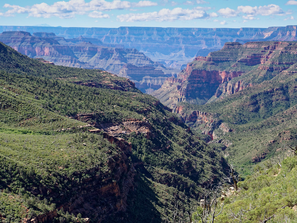
It was approaching 10 a.m. before we finally got going. However, we needed to collect and treat more water (we use a SteriPen). We went the short distance down the trail to the spring. What you first see doesn’t look like much of anything, just a few drips. However, tucked beneath some branches to the left there appears to be an old low concrete retaining wall with a groove carved into it where a very narrow stream of water flows out of it. By positioning the mouth of my water bottle just right (we used one-liter Gatorade bottles), I could get a liter in about 30 seconds without much grit or vegetation. I presume this would be the normal flow during the spring, but I don’t know if it flows this well in the fall.
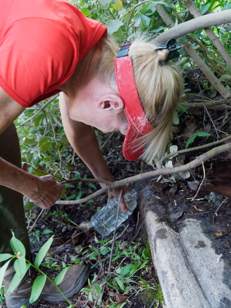
At this point we were both still bundled up (the above photo was taken days later on our hike out when it was much warmer) including wearing our rain kilts and gaiters because of the wet brush along portions of the trail.
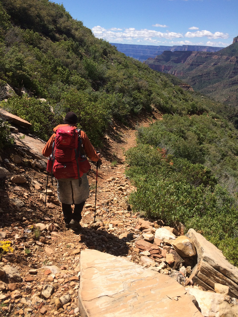
Our goal was to reach Shinumo Creek. John had read an account of a group (whose members were not so young) who had gotten all the way to the creek in one day from the trailhead, so we thought it was within our reach. We had also read the Park Service had done quite a bit of work on the trail and we were making good progress. The sun warmed things up enough so we could shed our outer garments.
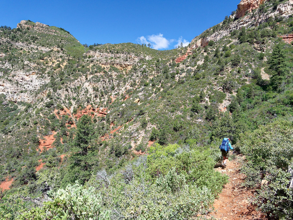
We encountered some brush and mud …
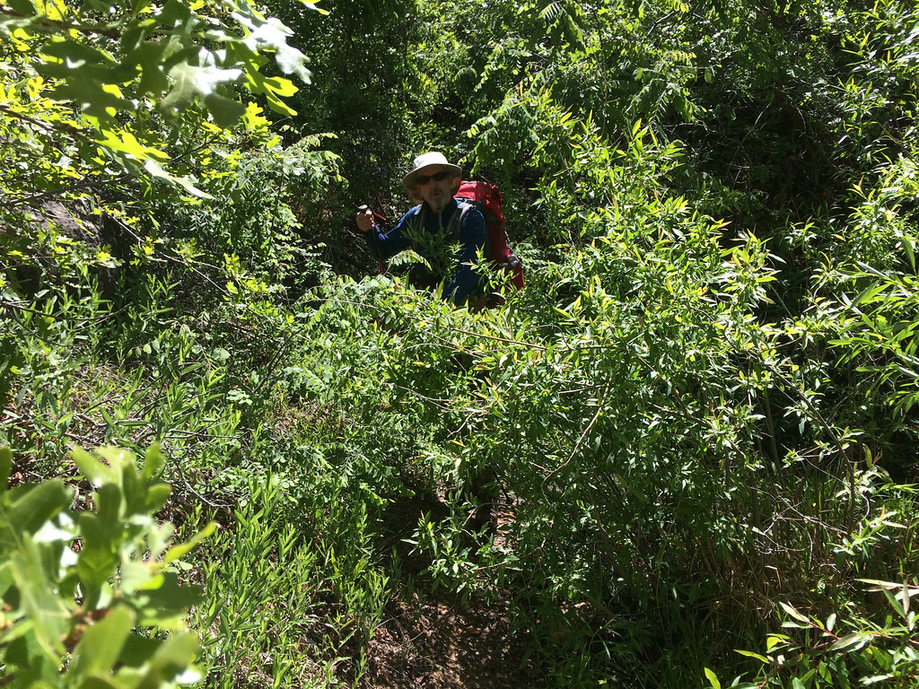
… but it didn’t last long and things opened up again so we were optimistic.
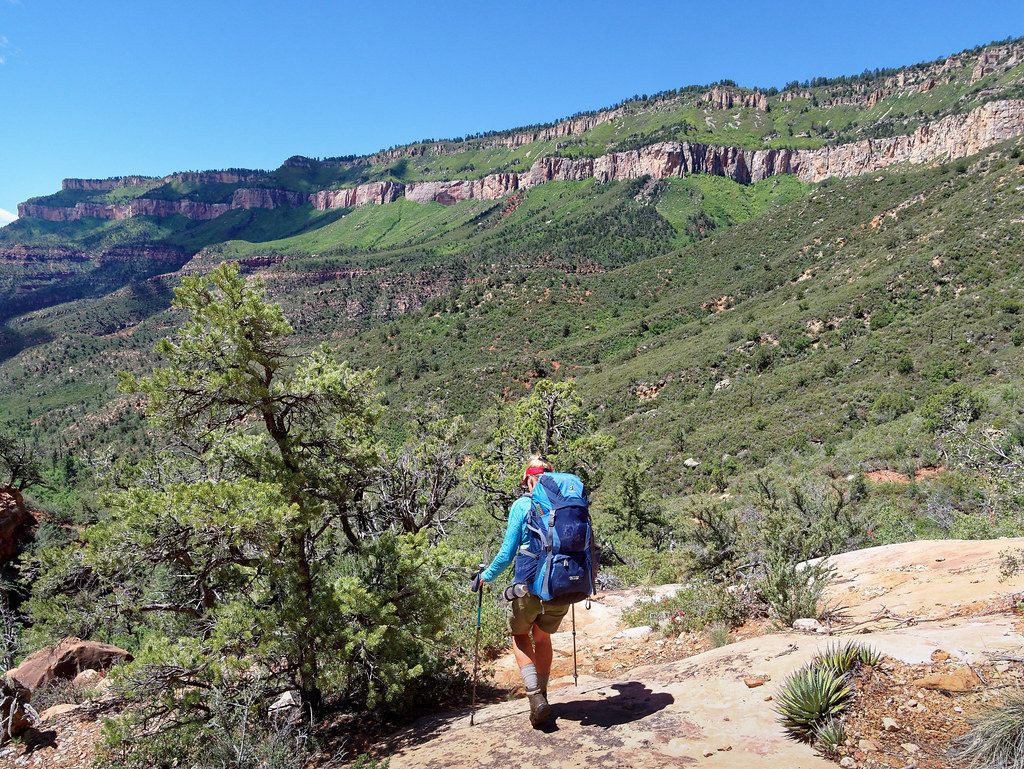
I was remembering past reports I had read about how challenging North Bass is, but I thought the Park Service must have fixed everything because this seemed pretty easy by Grand Canyon standards.
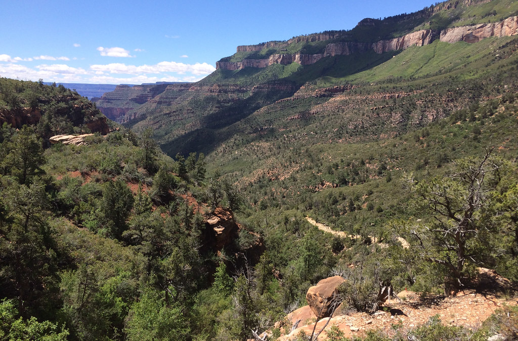
I realize now that I somehow mentally blocked out any negative parts of the more recent trip reports I had read.
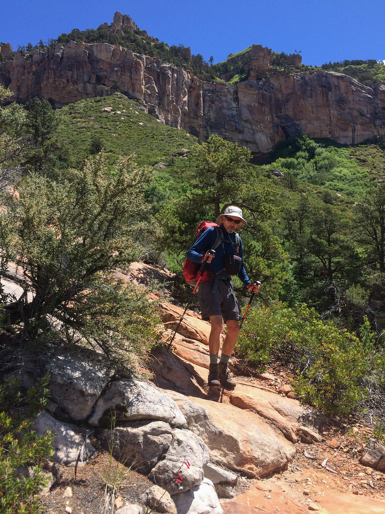
It took me by surprise when the trail dropped down into White Creek Canyon, and we became engulfed in vegetation. We are no strangers to vegetation in the canyon. The North Bass Trail is one of the more historic trails in the park but at this point it didn’t seem like a trail.
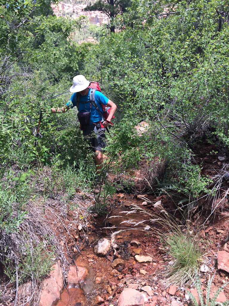
It wasn’t even what I would call a route. The vegetation was so thick that finding the way was sometimes a process of elimination. Can’t go this way, can’t go that way, so I guess it must be this other way. We periodically got reassurance we were going the right way by the presence of a sketchy track or an infrequent cairn. It was very slow going.
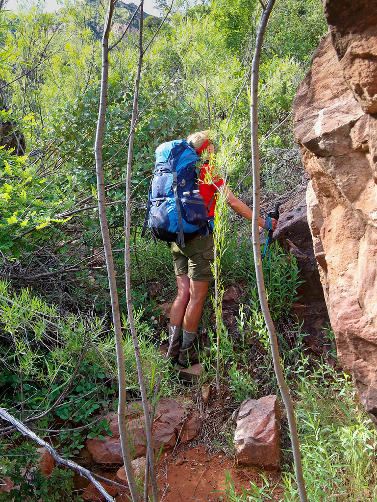
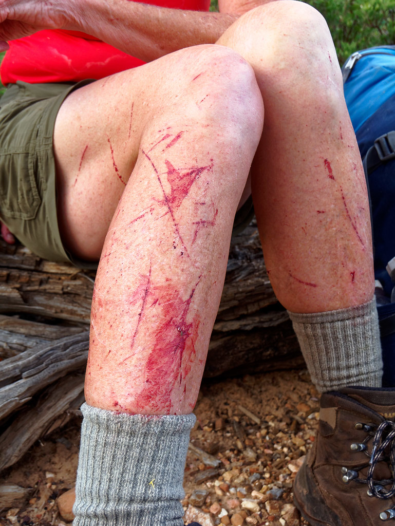
In addition to the thick willows, we also became well acquainted with a type of holly with spiky leaves as well as Mexican locust which sports thorns up to an inch in length. We probably should have heeded the advice of others and worn long pants and long sleeves. However, with the sun out it had become quite warm and humid in the thicket. I am still subject to hot flashes and am willing to endure some pain and loss of blood to remain cooler. At least we were both wearing good eye protection.
We later talked with a backcountry ranger, and he expressed his desire to spend a week down there “clearing things out,” but unfortunately it is not a priority for the Park Service. The budget is just too tight.
We rejoiced when the vegetation finally thinned out …
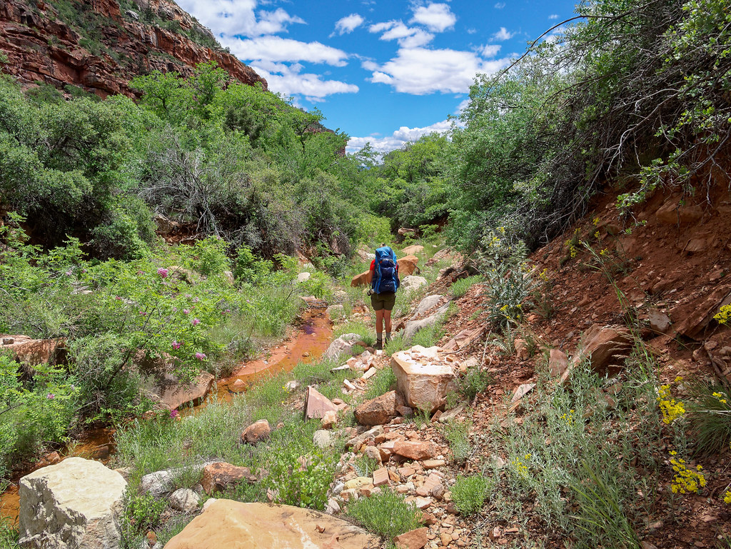
… and we began to make faster progress.
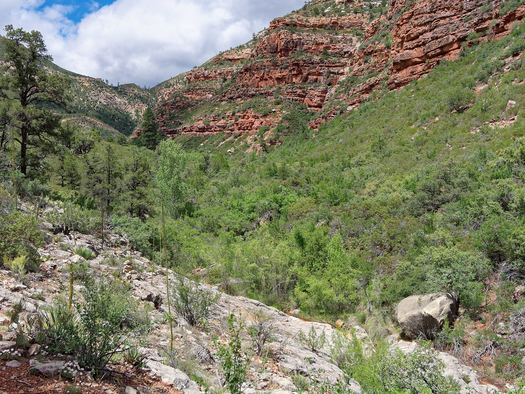
We left White Creek behind …
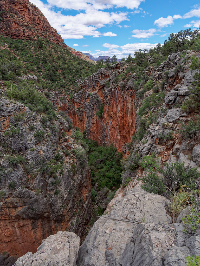
… as we headed up above the Redwall for a long traverse. It was a bit disheartening to see White Creek so far below us, knowing we had to get down to it again.
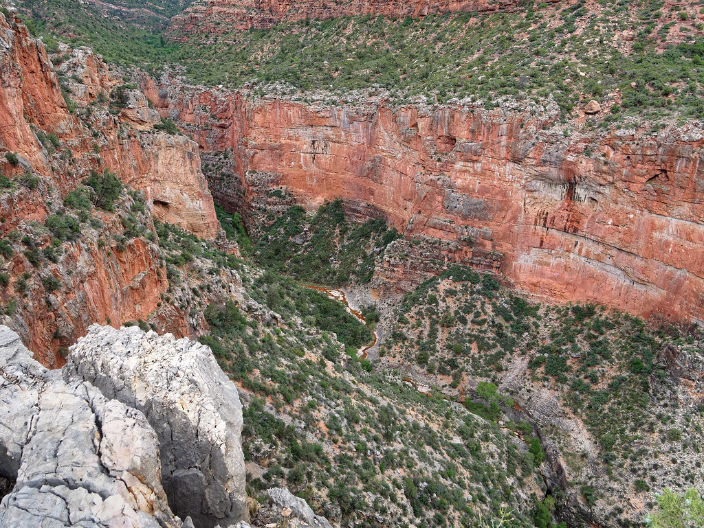
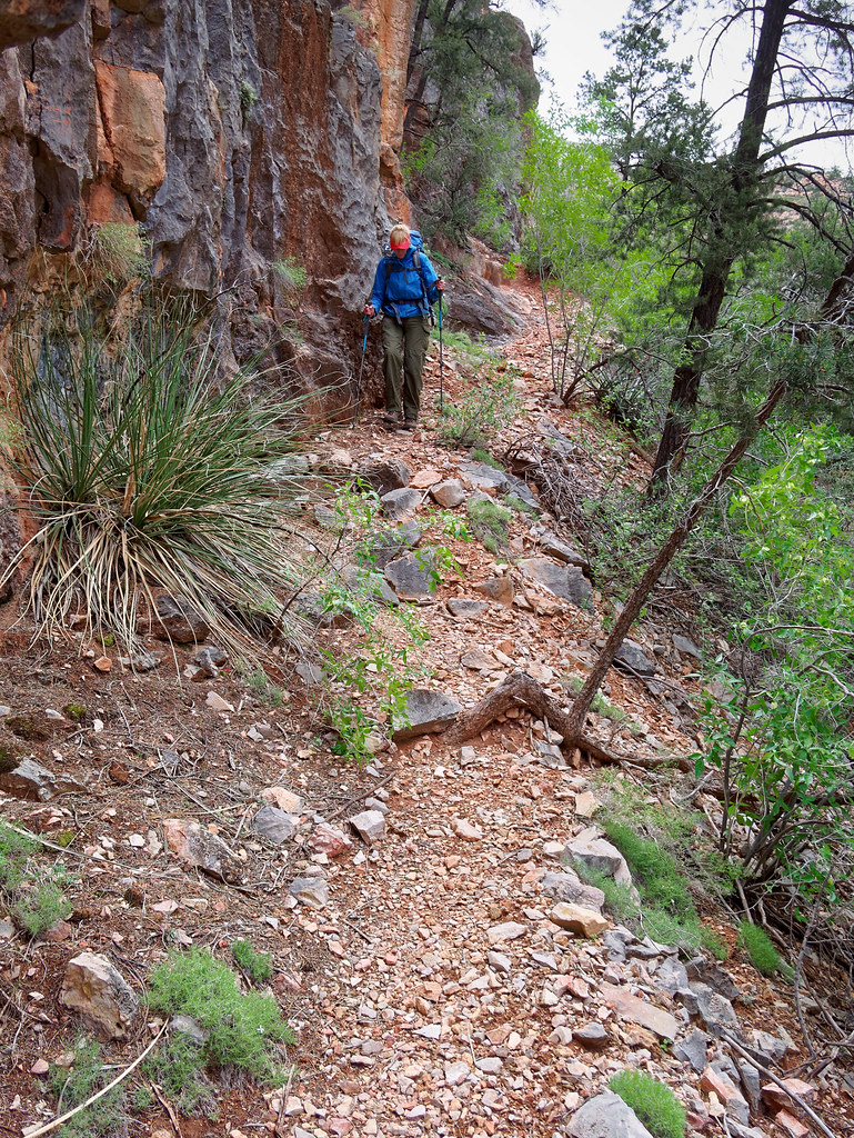
But the trail across the Redwall is quite good and we felt like we were making really good progress …
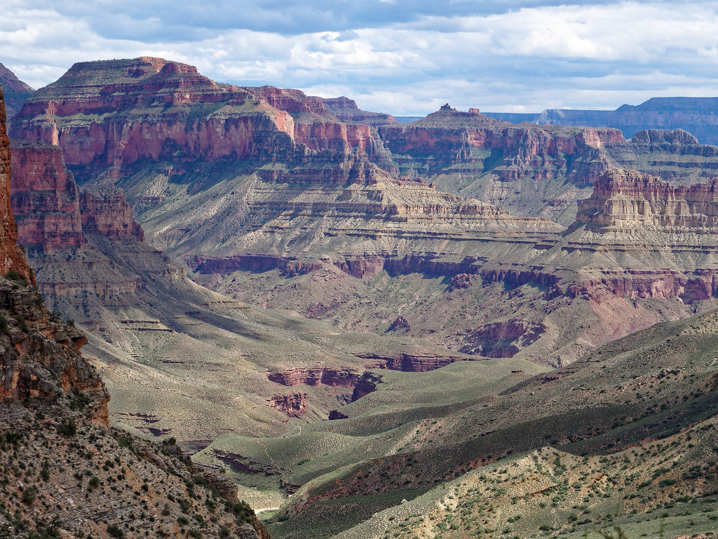
… and we were thrilled with the views we were getting.
However, it was time to get back down to White Creek …
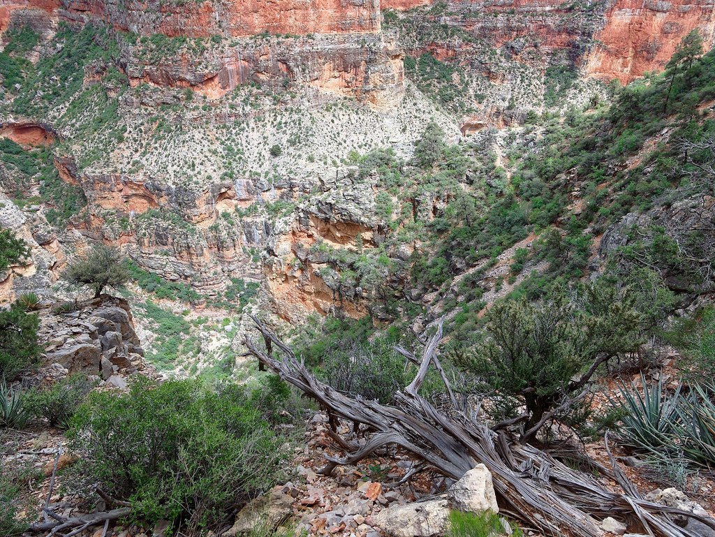
… and that meant heading down the infamous Redwall Descent. It is quite steep and loose in places and once again our pace slowed dramatically. While I’ve read very negative descriptions of this portion of the North Bass, there wasn’t anything we hadn’t encountered before on trails within Grand Canyon. One just has to be careful. With the help of trekking poles, I was able to avoid slipping and landing on my butt.
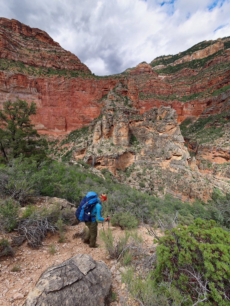
Still, it was a relief to finally reach the bottom of the Redwall Descent and be hiking down White Creek again.
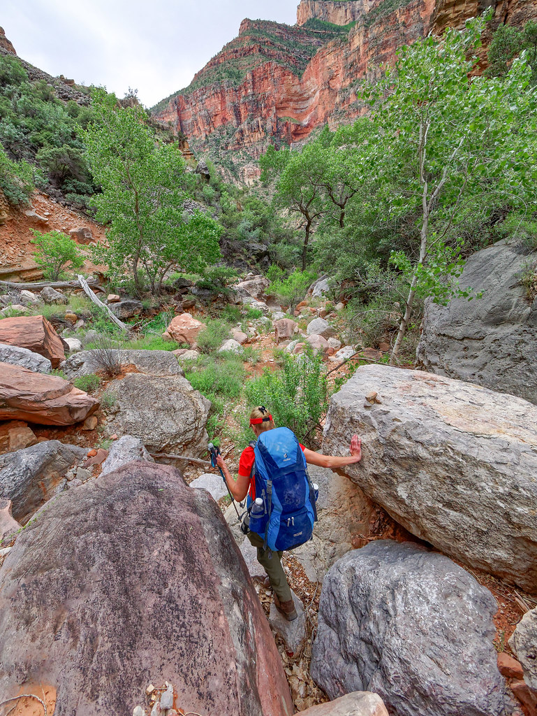
Not long after this we both came to the realization we would not make it as far as Shinumo Creek that day. But we were uncertain how much farther we should try to go. We had hiked about a mile from the bottom of the descent along White Creek. At that point, the creek still had a good flow in it. But before long, the trail led out of the creek bed to bypass a pour-off. John wanted to continue for at least another hour, so we headed up the bypass. However, we had read that White Creek goes underground at intervals, so we didn’t know how far it would be before we would encounter more water. We also didn’t really want to carry enough water for the night and morning as it would really slow us down.
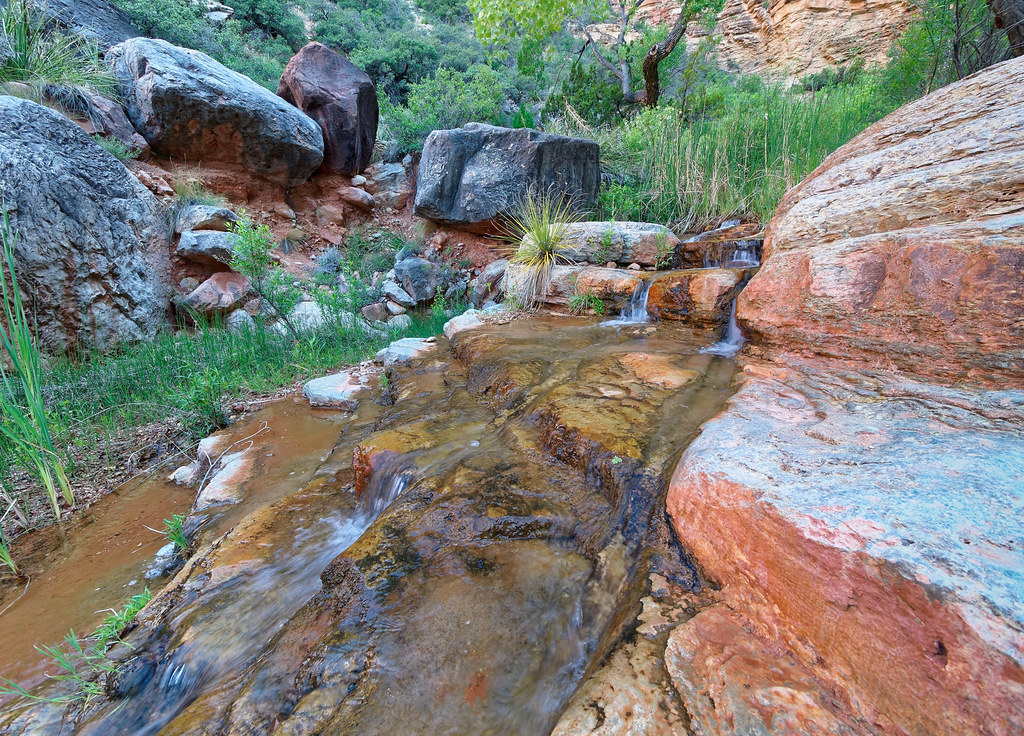
Then, not long after we had left the creek, it began to sprinkle. We were reminded of the hard rain we endured on the Hermit Trail the previous week and the rain and hail we had the previous night. I became concerned about being caught in a downpour not knowing how far it was to the next water source. We decided to backtrack to the creek where we had seen a level spot adjacent to it. Once there, we quickly set up our tent, got inside and discussed our situation. We concluded that, to complete the trail and get all the way to the river, we needed to add a day to our trip. We decided to continue down the next day to where we had planned to camp at Shinumo Creek. We would then hike to the river. We would camp by the creek a second night (our third night out), before heading back up the canyon the following day. We would camp by White Creek the fourth night and at Muav Saddle our fifth and last night. Once this decision was made, we both felt much more relaxed. As we were adding a day to our trip, we got out our remaining four days’ worth of food and spread it out to now cover five.
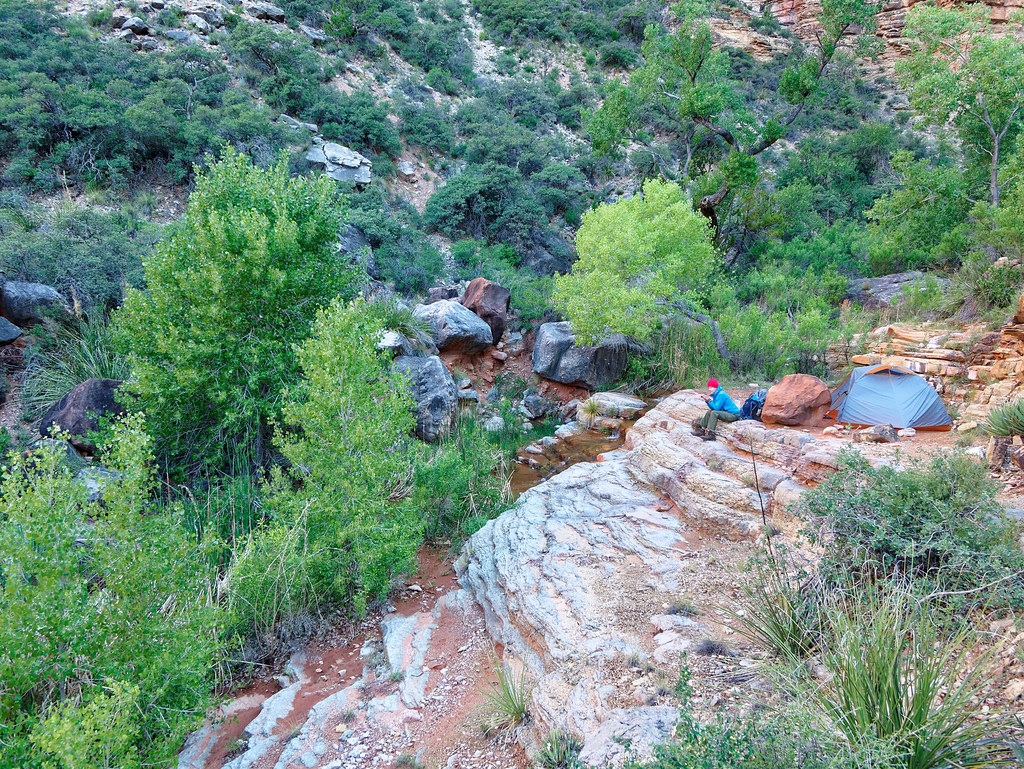
The next morning, we were relieved it was no longer raining and continued down the creek. In about another mile, we saw a cairn for the bypass around another pour-off. This area has some very attractive ledges and John noted there was a small campsite tucked in the trees. We decided we would camp there on our way out as it was scenic and photogenic.
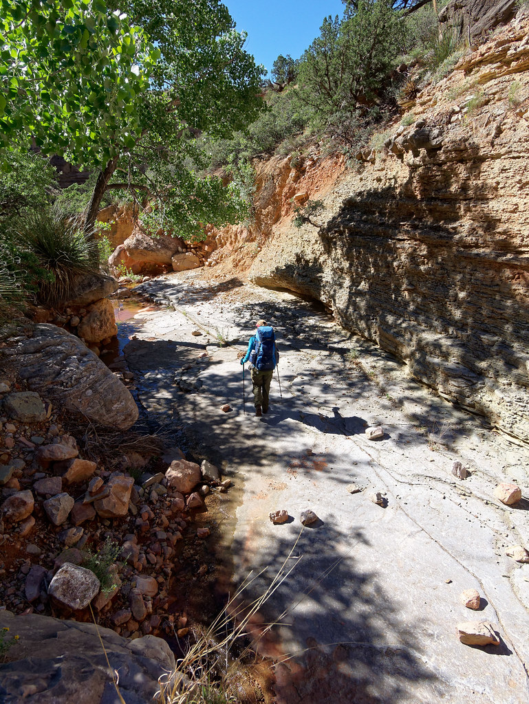
We traversed this bypass for about half a mile …
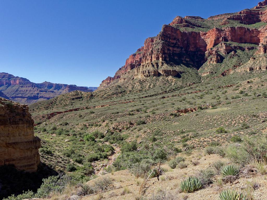
… before dropping back into White Creek. The creek was still flowing at this point but soon went underground not to be seen again by us that day. We continued down the drainage until shortly before reaching the pour-off at the mouth of Redwall Canyon and on the way to Tapeats Gorge.
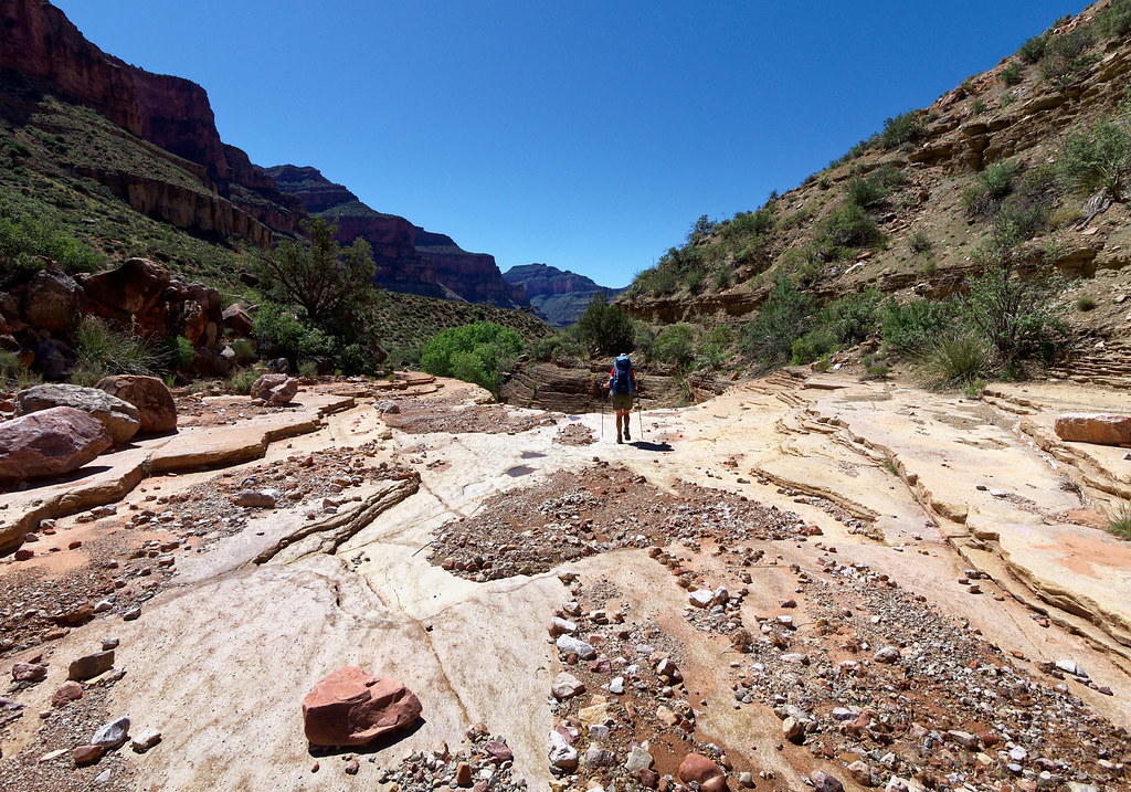
At this point, backpackers have two options: continue down the drainage, drop down into Tapeats Gorge and follow White Creek to Shinumo Creek or take the Tonto Bypass which the NPS restored to its historic alignment in 2005. We wanted to see Tapeats Gorge and John would undoubtedly want to do some photography. However, as we wanted to hike to the river that day, we took the Tonto Bypass to save time. We would have to save Tapeats Gorge for the following day.
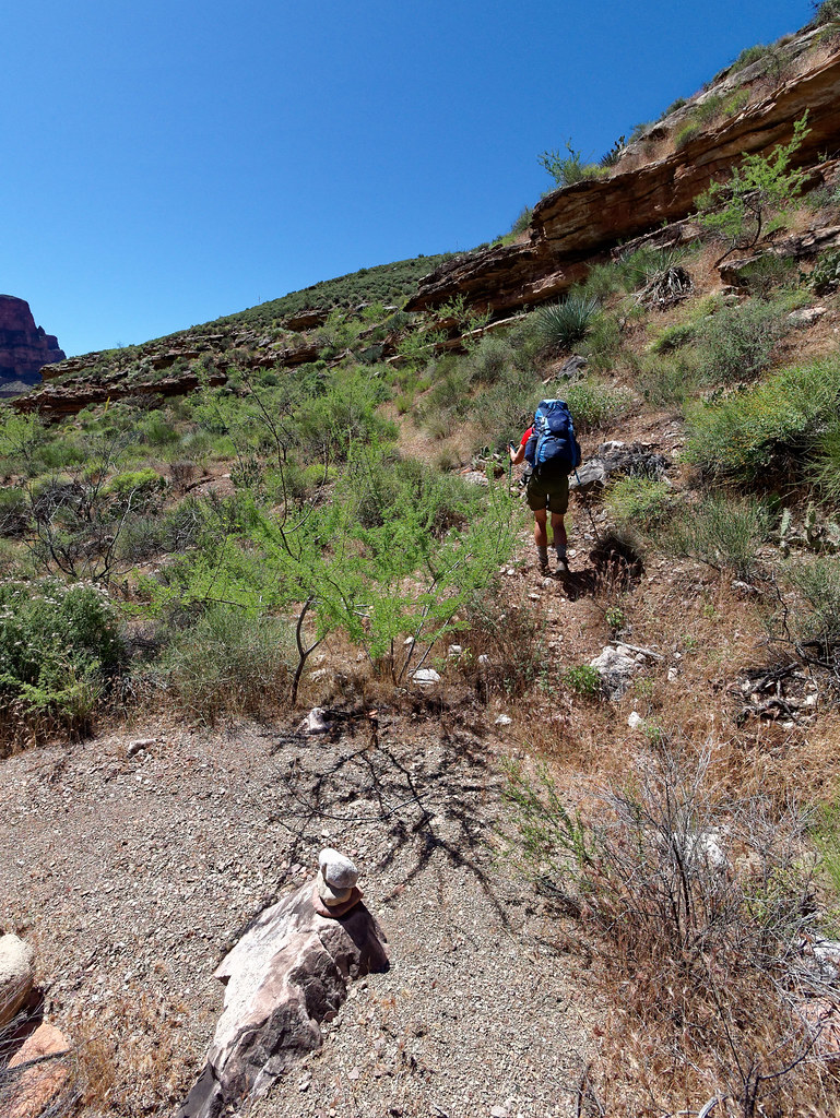
Once on the Tonto Bypass, it was a real treat to hike fast and cover so much territory so quickly.
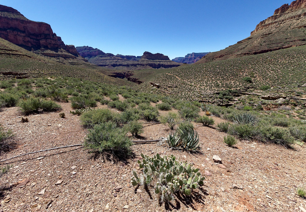
I am partial to the Tonto Platform for its expansive views.
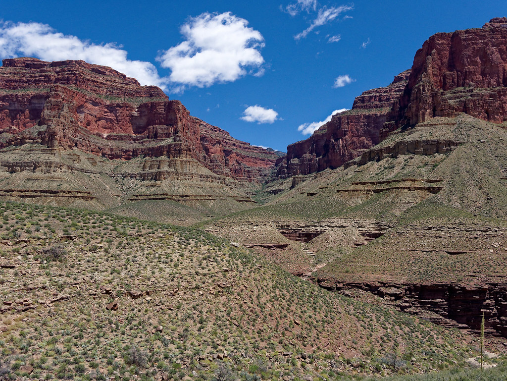
We had read this stretch could be quite hot but there was a cool breeze that day, so the warm sun actually felt good.
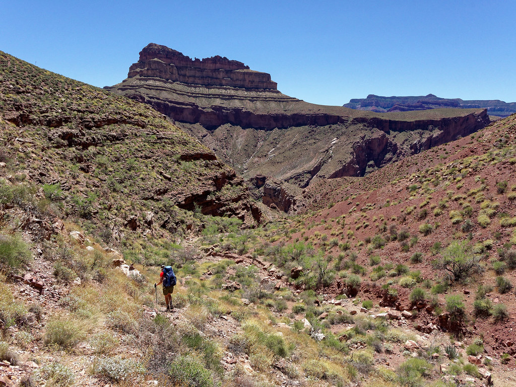
The descent from the bypass takes some time but there are no real route-finding issues going down. We were happy to see Shinumo Creek, our destination, not far away.
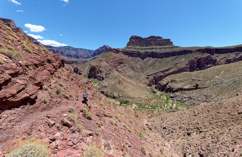
When we saw the creek from above, we noticed a well-worn track on the opposite side and assumed this was the way we needed to go to reach the river.
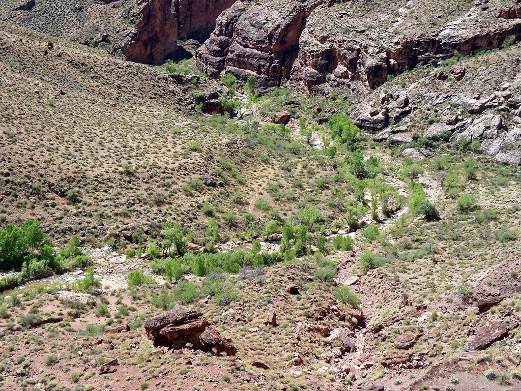
After setting up our tent, we unloaded as much of our gear as possible and prepared to hike to the river.
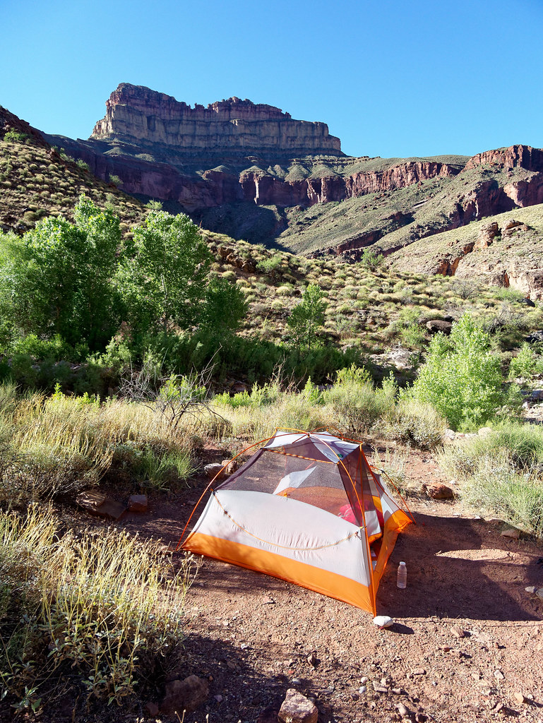
We had read that it was necessary to cross Shinumo Creek five times and knew that, this early in the season, the water level could be high and the current strong.
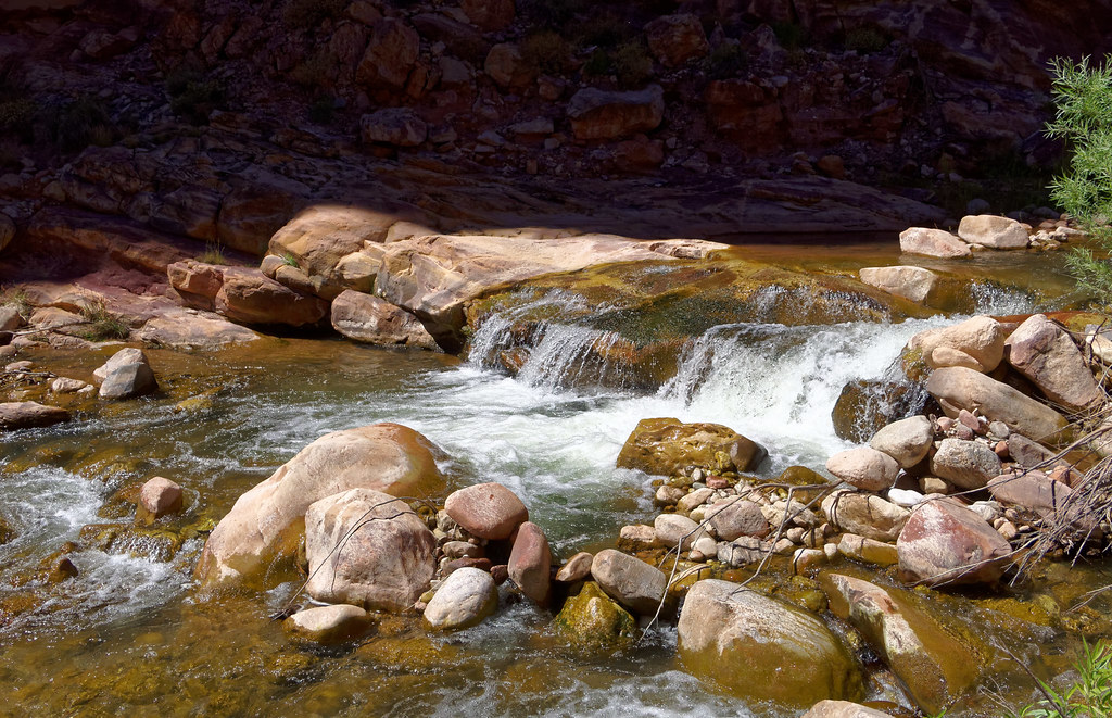
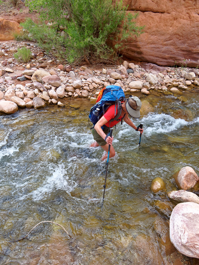
We both brought running shoes to wear in the water, but I decided to keep my boots on. I had discovered the rocks were quite slippery, I have hypermobile ankles, and my feet have many issues. John did wear his trail running shoes but found they were barely adequate foot and ankle protection. Fortunately, the water was clear enough to see the bottom, but it was still tricky finding secure footing.
When we started out, we immediately crossed the creek to the track we had seen from above but we had not walked far before we encountered a large boulder requiring us to cross back. In hindsight, we realized it hadn’t been necessary to cross to the other side so quickly. We could have stayed on the same side as our camp and walked downstream. This way is longer and there is no obvious track through the vegetation and gullies. The other way on the other side of the creek is shorter but adds two additional creek crossings. We came back the longer way, but I can’t say one is better than the other.
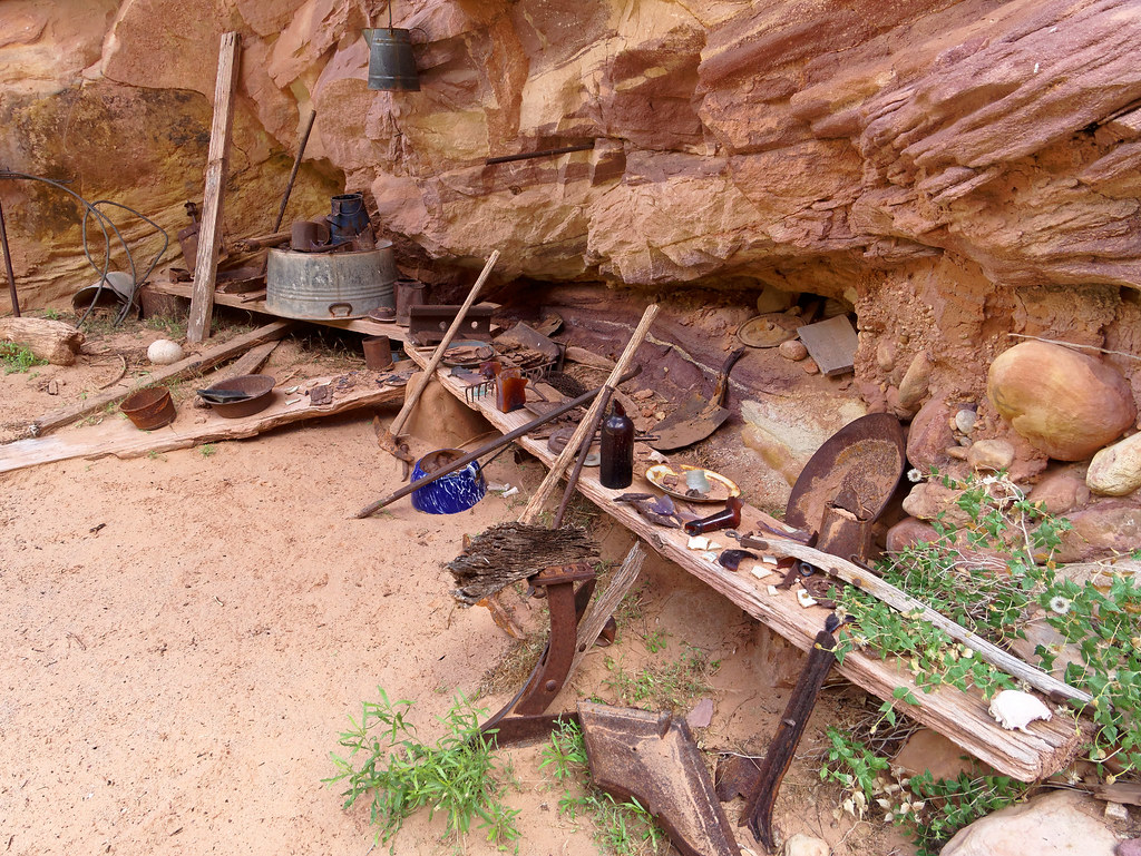
Before long, we reached Shinumo Camp. The items left behind by previous canyon explorers are now considered to be artifacts, and it is illegal to remove any of them. Perhaps I lack the proper appreciation for canyon history, but I am more inclined to think of these artifacts as junk that mars the natural beauty of the area and believe it should have been hauled out a long time ago.
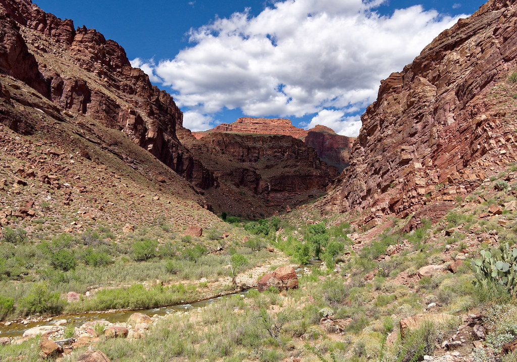
We continued down the canyon crossing the creek when necessary. I didn’t even try to keep track of how many times.
The deepest water we encountered was about mid-thigh, but most was no more than mid-calf. The current was brisk and trekking poles were very helpful.
The trail to the river leaves the creek and climbs over a ridge, gaining 700 feet …
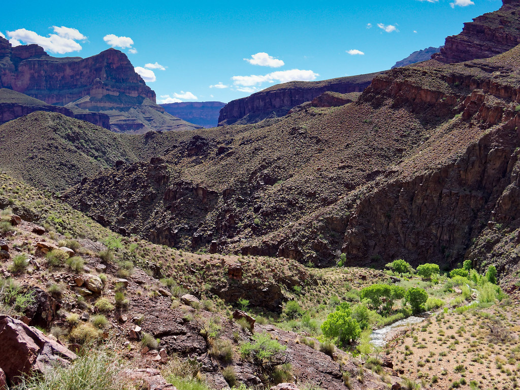
… before taking you to the river.
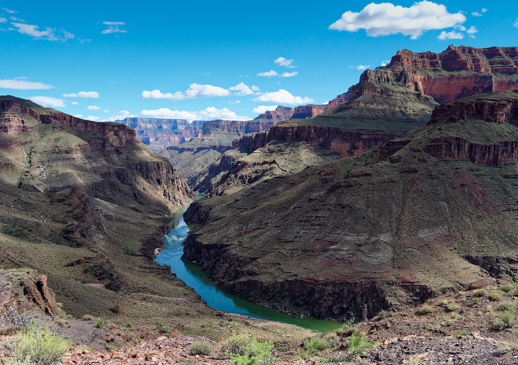
We followed a track down to the river …
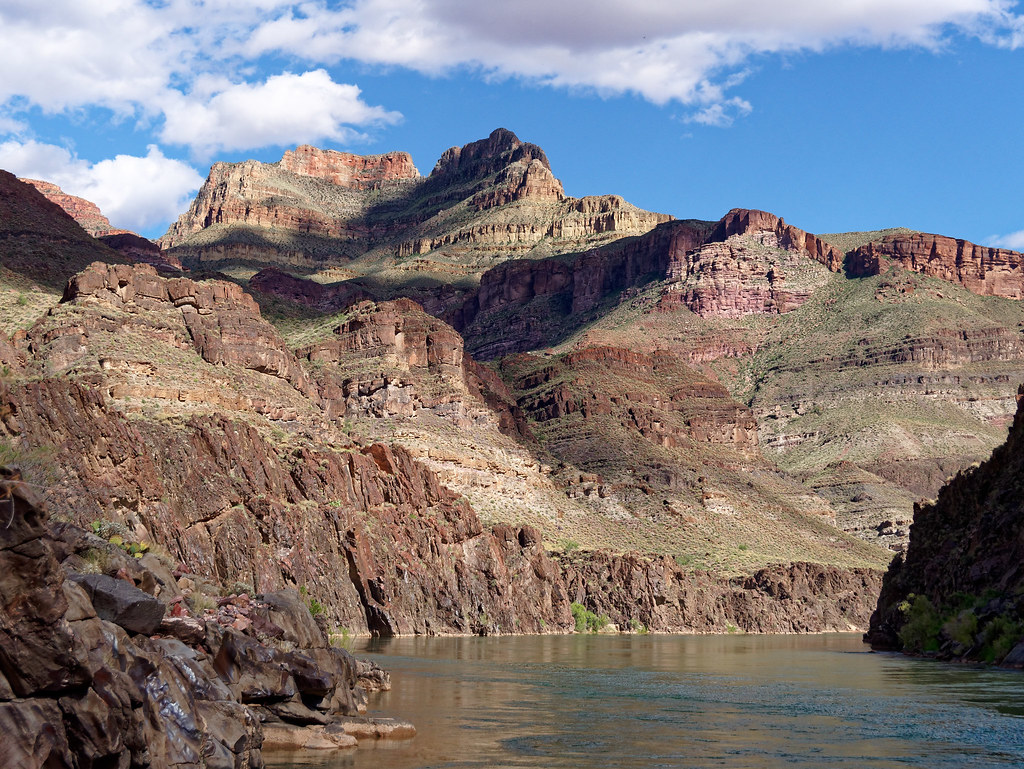
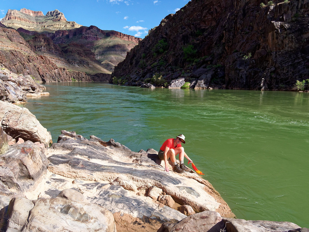
… and took the opportunity to wet our bandannas as it was now quite warm.
One sight we did not see was the remnants of the orchard and garden that William Wallace Bass had planted along Shinumo Creek near the river. We just didn’t have enough daylight left to look for it.
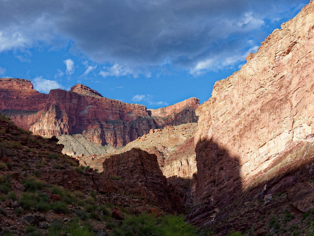
It was getting late and our hope was to get back to camp before dark.
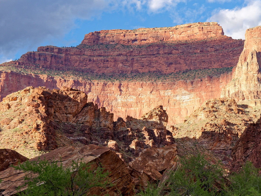
But we love to be out at this time of day, during the golden hour when the angle of the sun is lower. We got back to camp just before dark.
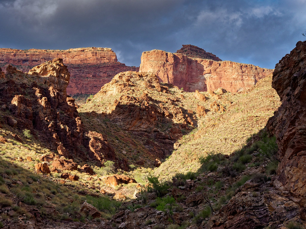
The next morning turned hot very early so we packed up quickly. An option we considered was hiking up Shinumo Creek to White Creek and up through Tapeats Gorge. However, we had read there were more creek crossings involved. We were now carrying full packs and we both preferred to keep our boots dry for the challenging hike out (mine had mostly dried out overnight). So, we headed back toward the Tonto Bypass. There are multiple tracks leaving Shinumo Creek and the most obvious one leads up the creek. The way back to the bypass was initially unclear. I was lured up a gully by some errant cairns, but John found the real track farther to the left, so I scrambled over to where he was. It was much easier.
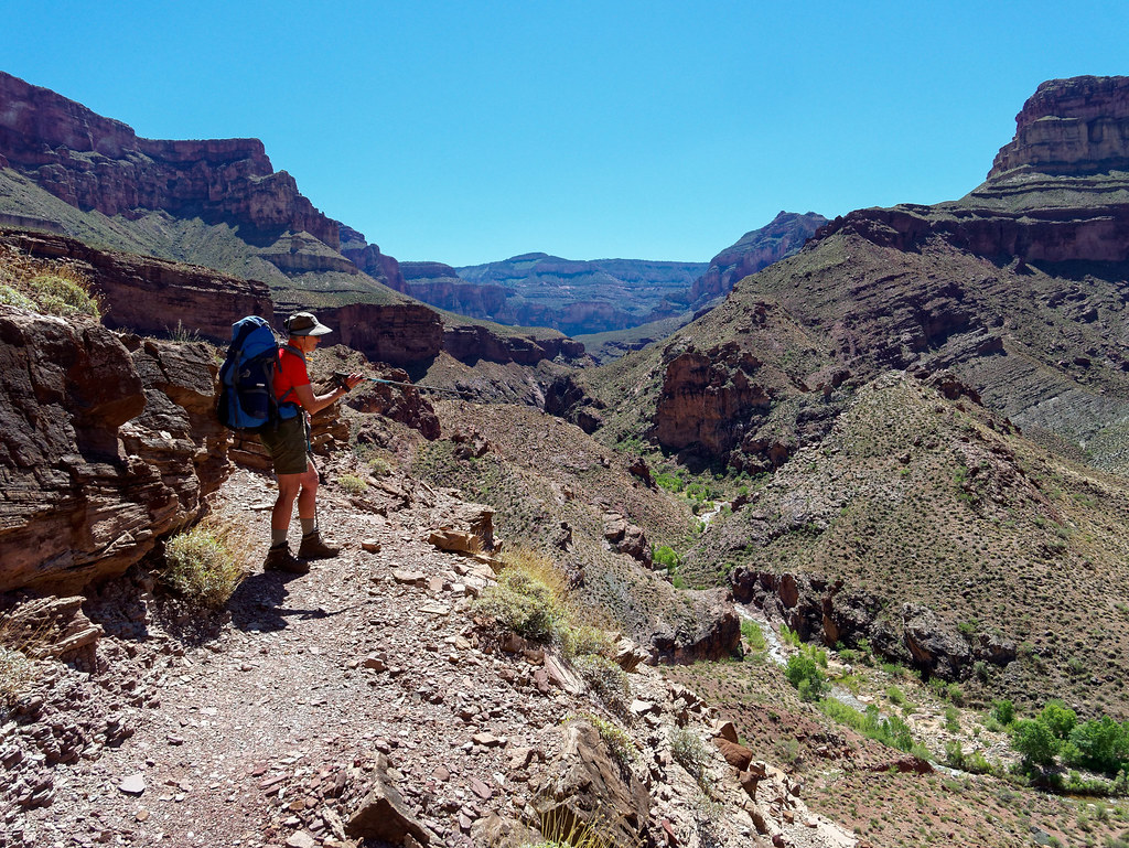
It was warmer than it had been the previous day when we headed across the Tonto Bypass but still not brutally hot.
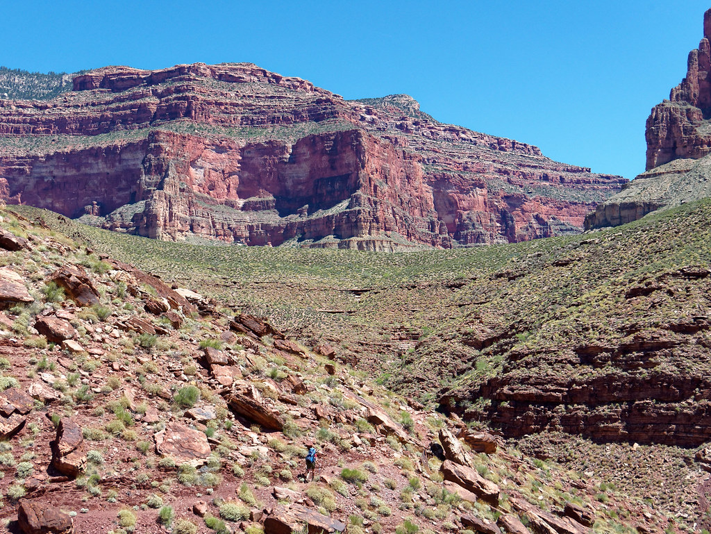
After dropping down from the bypass we went down canyon the short distance to the entrance of Tapeats Gorge.
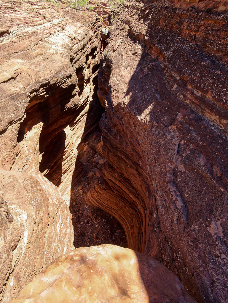
We didn’t find the down climb difficult …
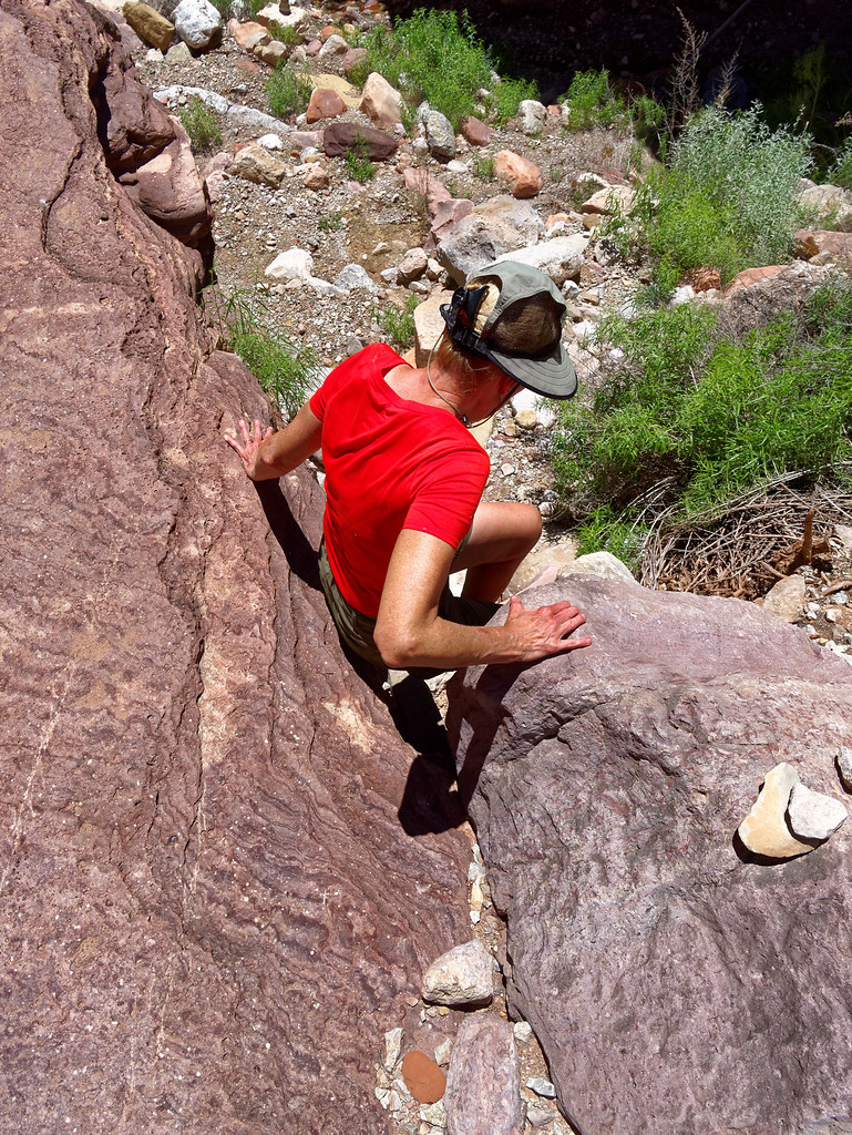
… and even if we were carrying fully loaded packs I don’t think we would have needed a rope as some recommend.
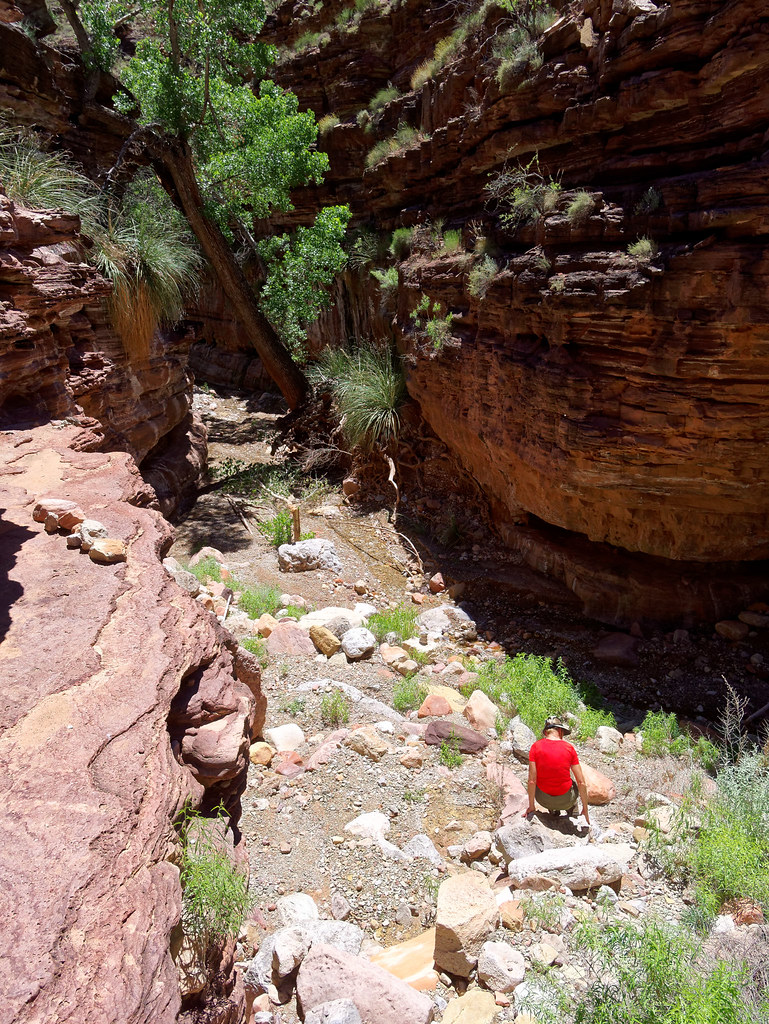
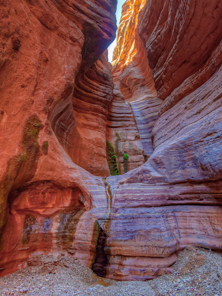
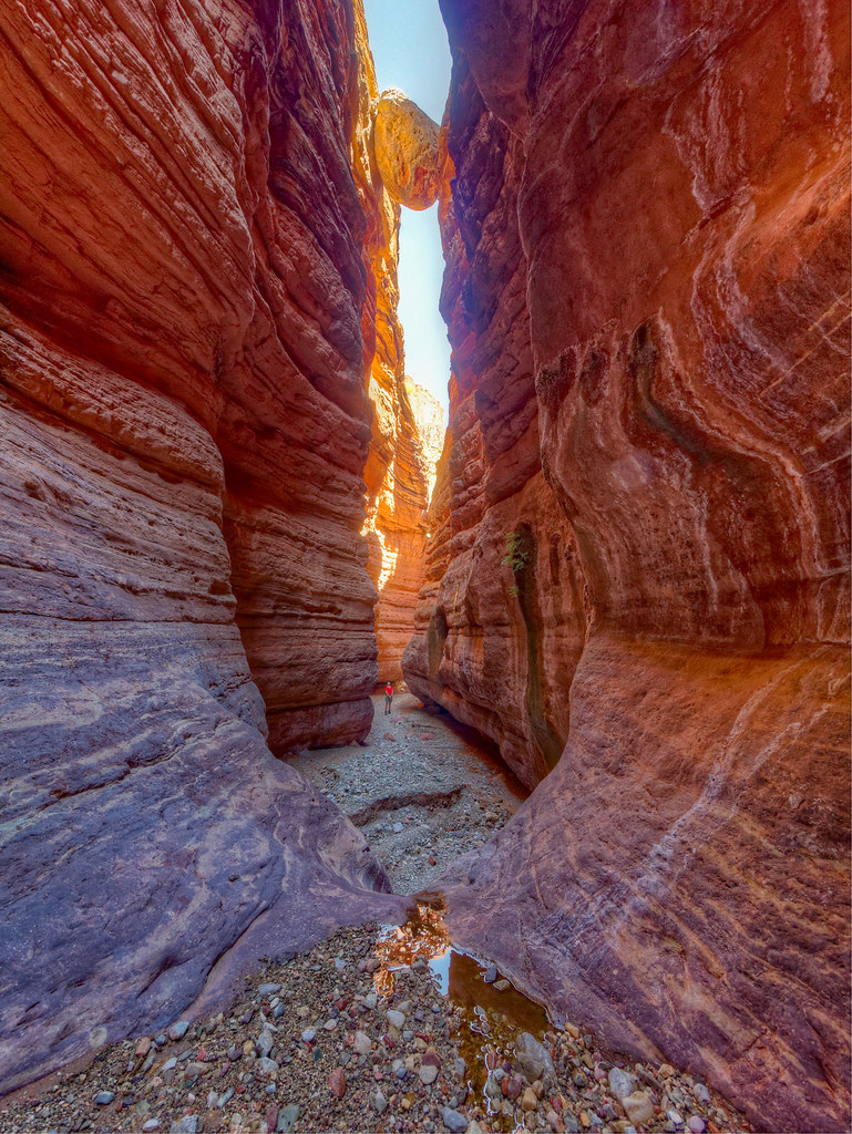
It is just a short distance to see the most notable features: the Grotto …
… and the Chockstone (to get an idea of the scale, look for me below it).
John, with a little help from me, …
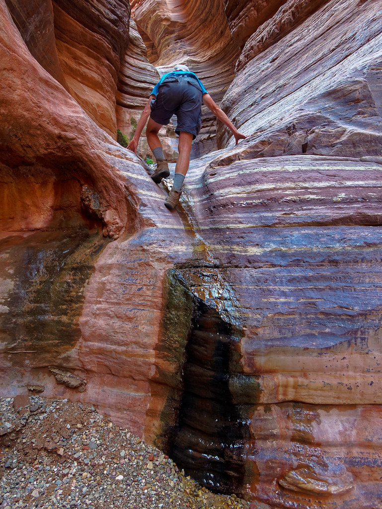
… was able to get up in the Grotto.
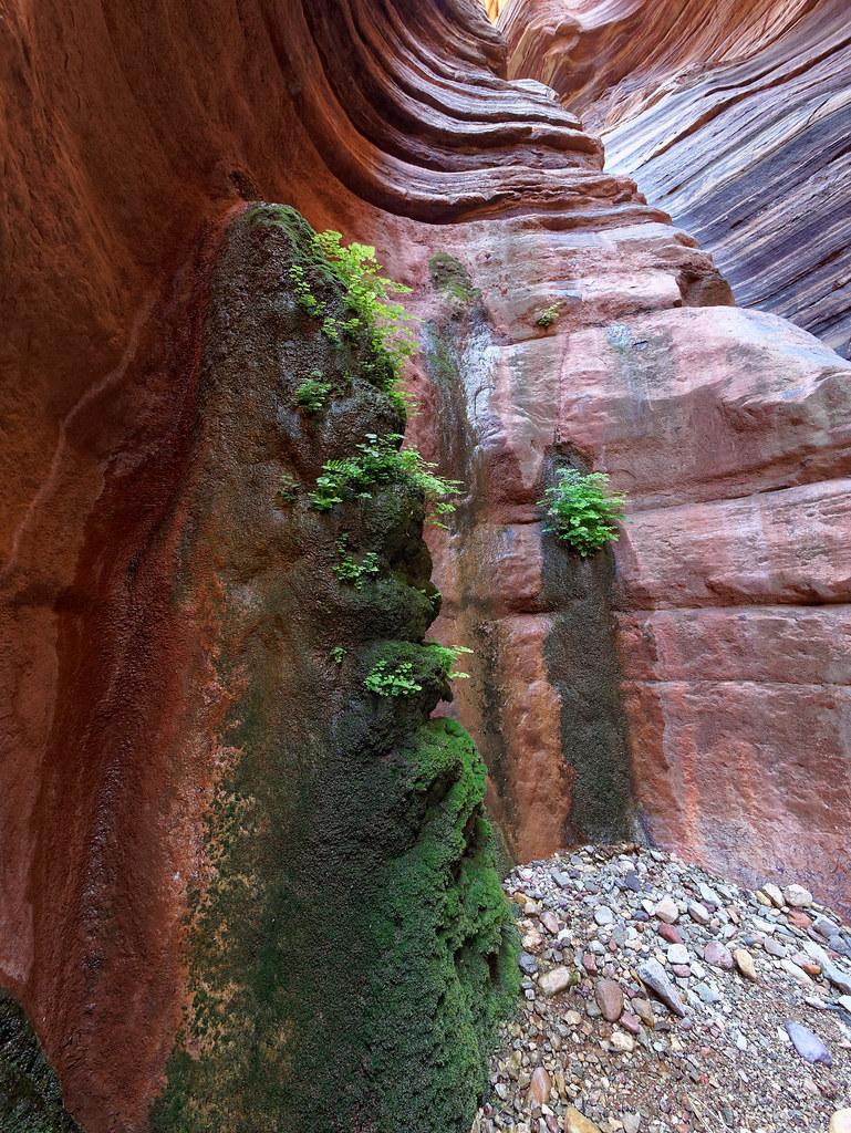
While exploring more, I found a small side canyon with this lovely little waterfall and pool.
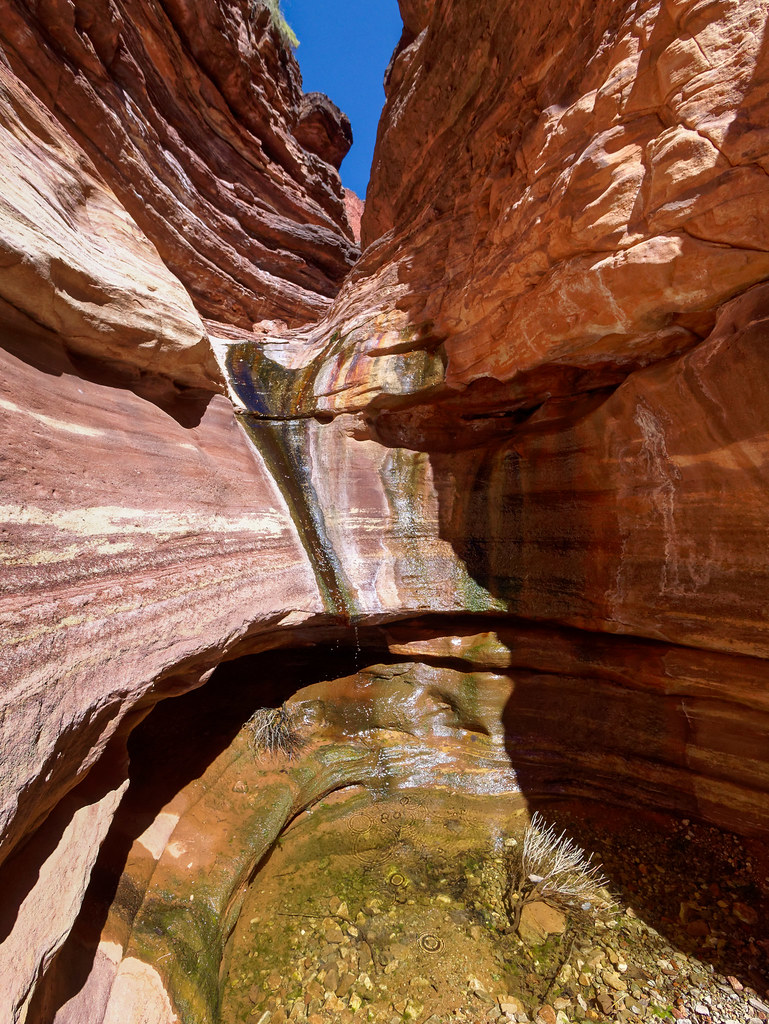
We walked down Tapeats Gorge for nearly half a mile before encountering several downed trees and we decided to turn around. We felt we had seen the best of it …
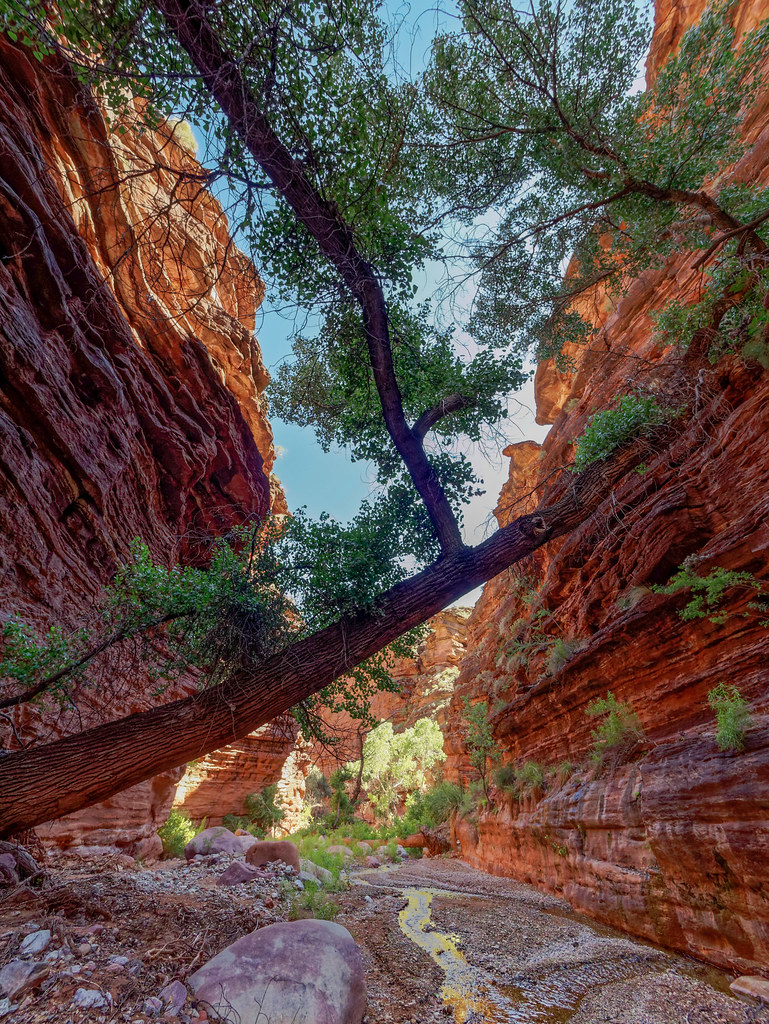
… and we were content to head back up the canyon and climb back out.
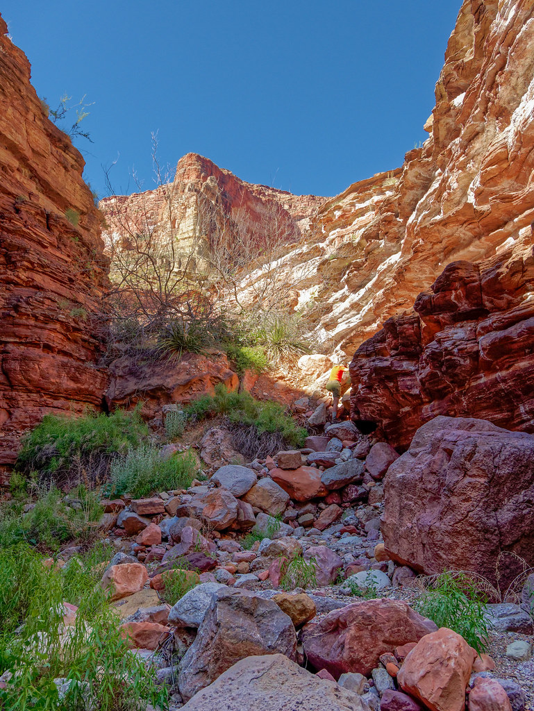
I felt quite relaxed as we headed up White Creek. We had achieved our objective of getting all the way to the river, John had had time to take lots of photos of Tapeats Gorge, and we knew where to get water as well as where we were going to camp that night.
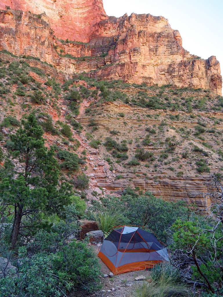
We love doing loop hikes but an advantage to out-and-back trips is once you turn around there are no surprises. We felt comfortable spending a leisurely morning in our camp. We considered it to be one of our all-time favorite campsites. It is always a treat when a campsite has a comfortable kitchen.
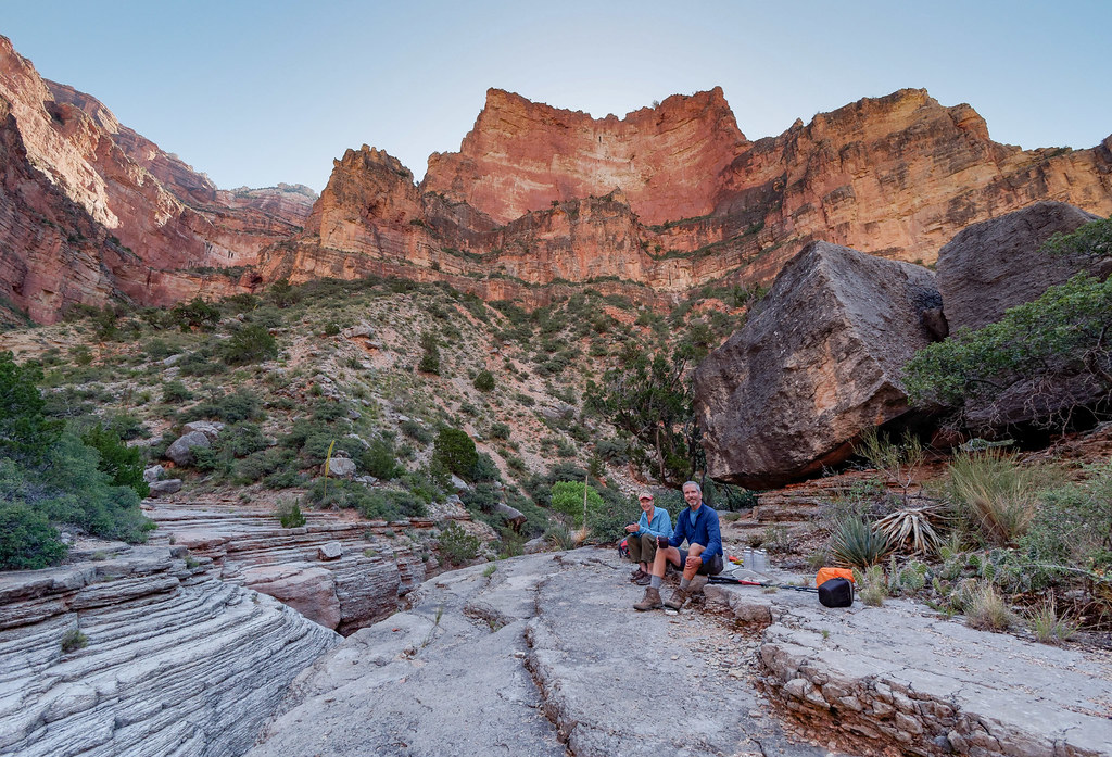
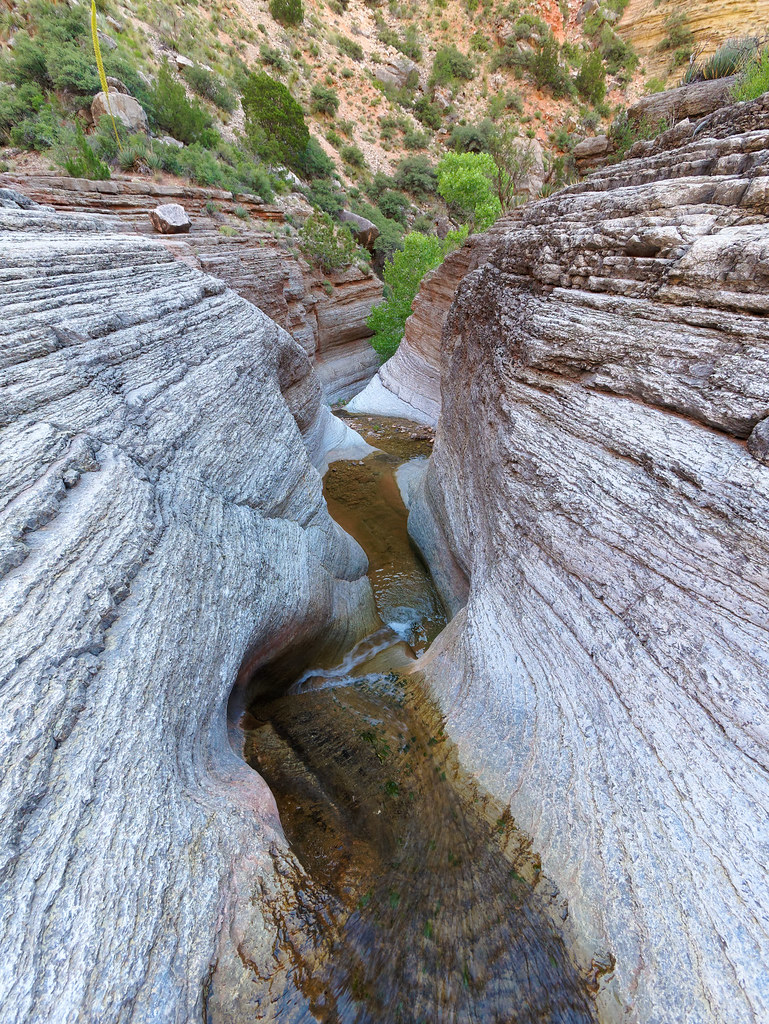
White Creek has formed beautiful curves …
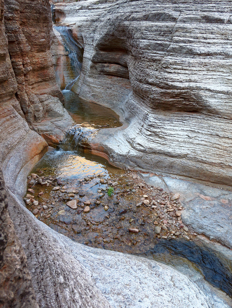
… and waterfalls.
I did a little exploring and found a way to get to the bottom of the canyon …
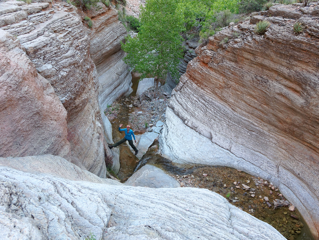
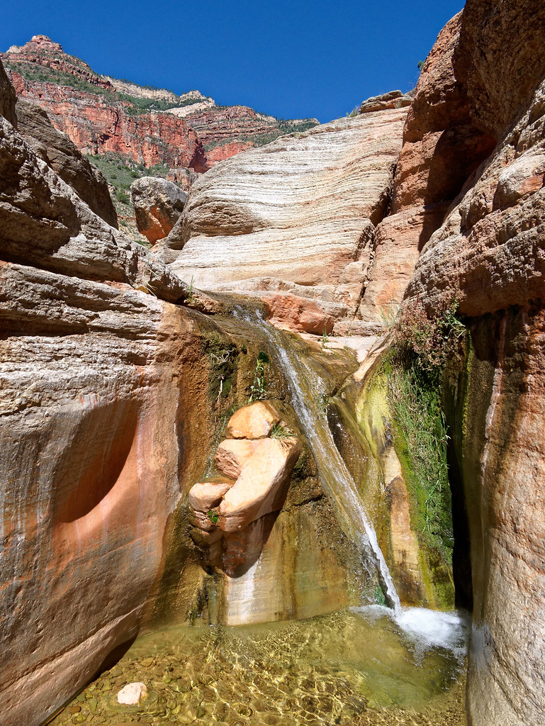
… and John soon joined me. Another advantage of our leisurely morning was the sun was now shining on this waterfall.
But all good things must come to an end, and we reluctantly left this lovely area. After about two miles we reached the bottom of the Redwall Descent …
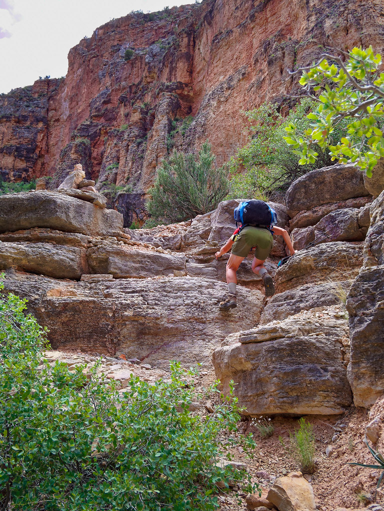
… which was now a steep ascent.
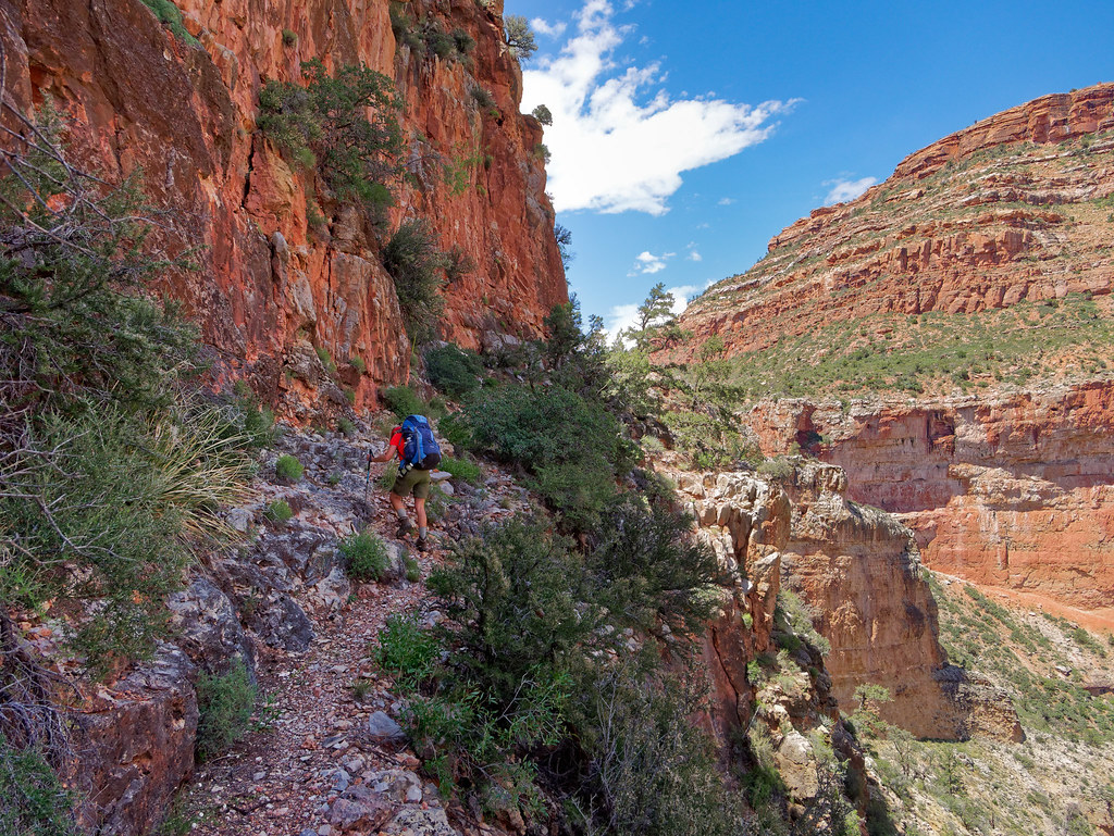
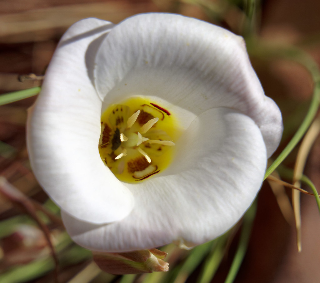
Once above the Redwall we stepped up our pace. However, we didn’t hesitate to stop to allow time for John to photograph wildflowers …
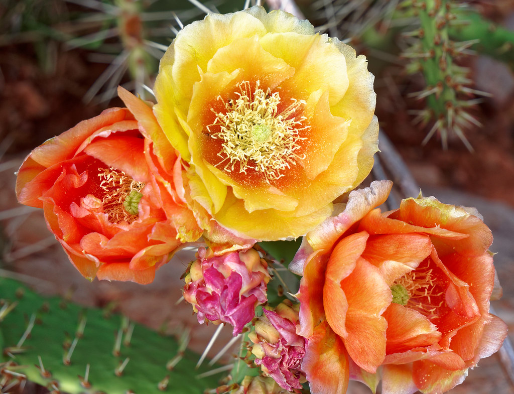
… and cactus blossoms.
We also took a bit of time to locate Butchart’s Natural Bridge; however, we were both disinclined to find a way to scramble down to it as others have done.
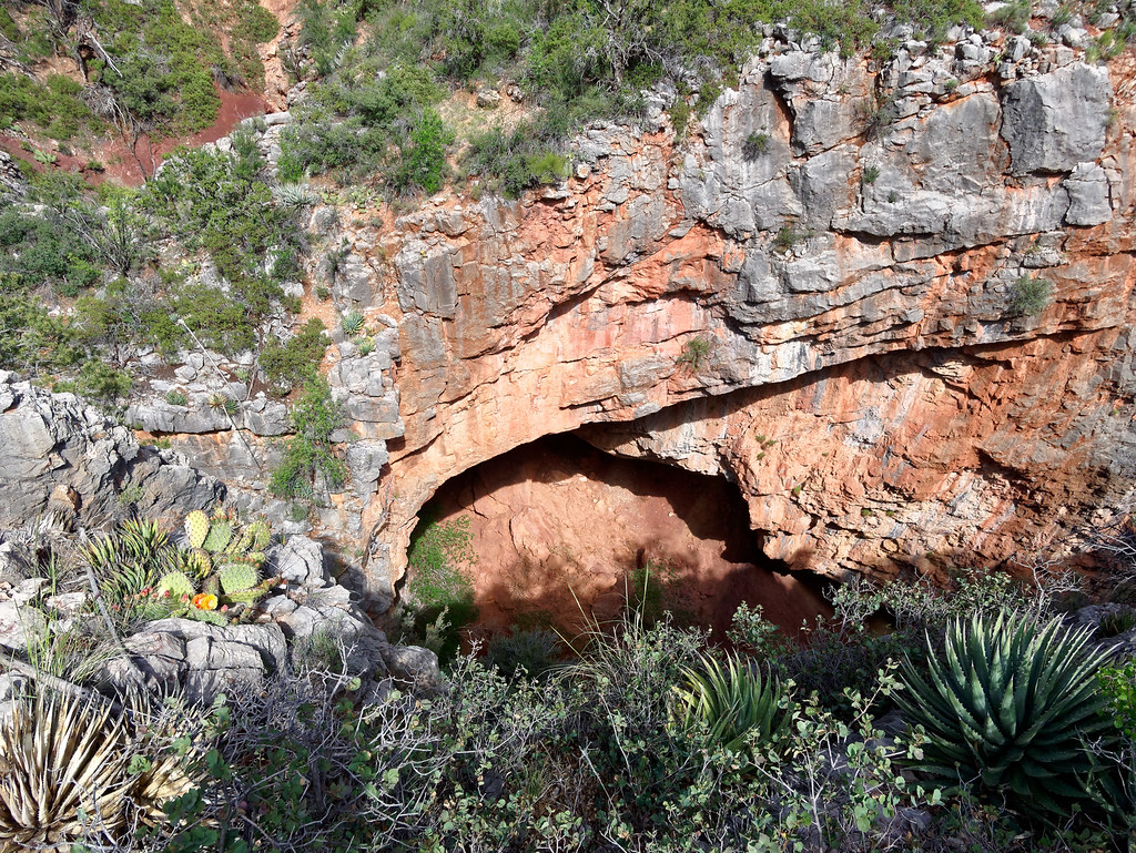
Of course, we knew at some point we would once again encounter the brushy creek bed …
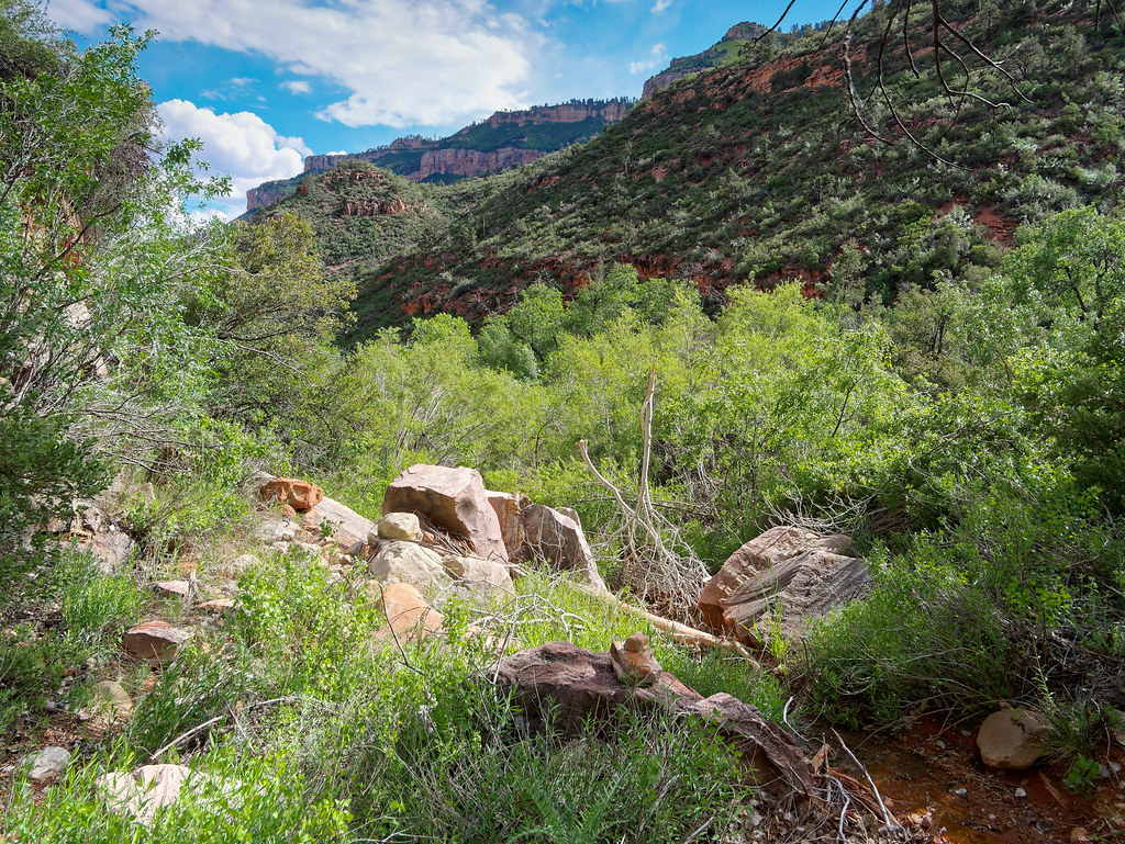
… and I heaved a great sigh before heading into it.
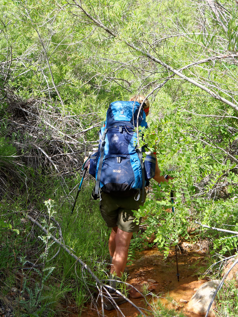
It seemed longer heading up it than it had coming down. John’s theory was that the vegetation flows downstream, having been pushed by the creek when it flooded, so we were now going against the current. It was a great relief to finally be out of it. The rest of the way back to Muav Saddle was uneventful. However, I had one concern. What would we do if someone else was camped in the only spot at the saddle that was large enough (and flat enough) for our ample tent? I really didn’t want to sleep in the cabin again.
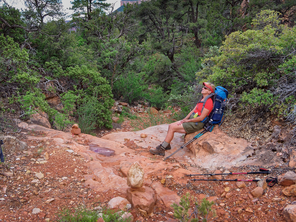
However, there was no one else there and it was a delight to wake up in the morning in such a scenic spot.
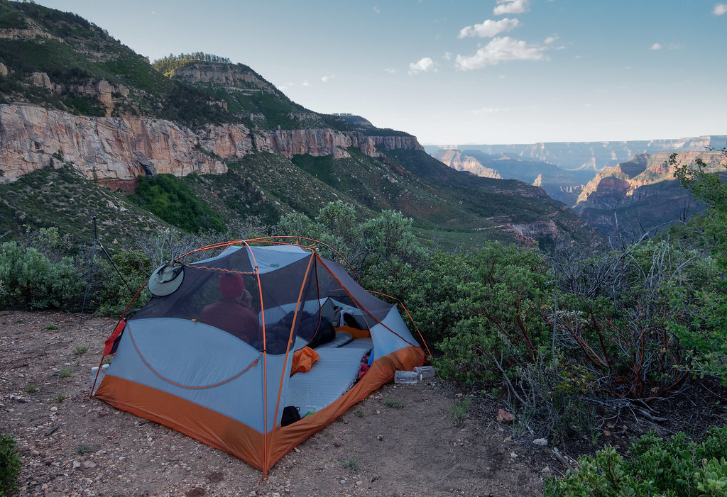
We realized we may have been the only people within North Bass Canyon. It was quite a privilege to have this entire canyon to ourselves.
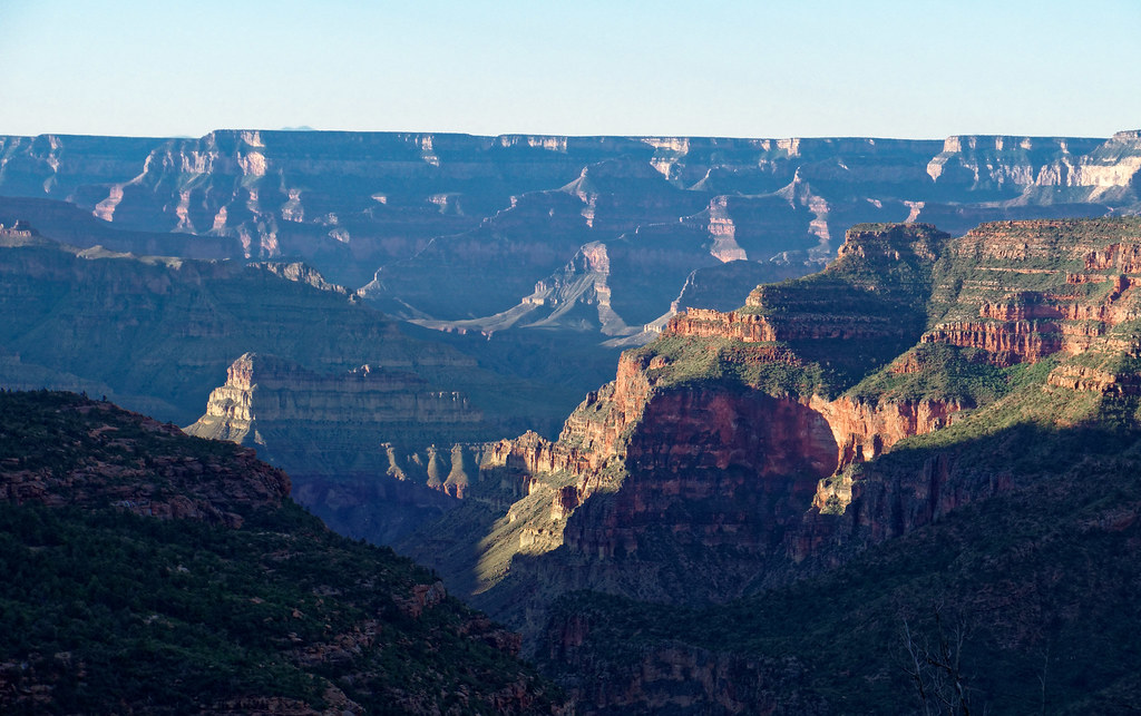
One option hikers have from Muav Saddle is to take a side trail out to Powell Plateau but we passed on the opportunity.
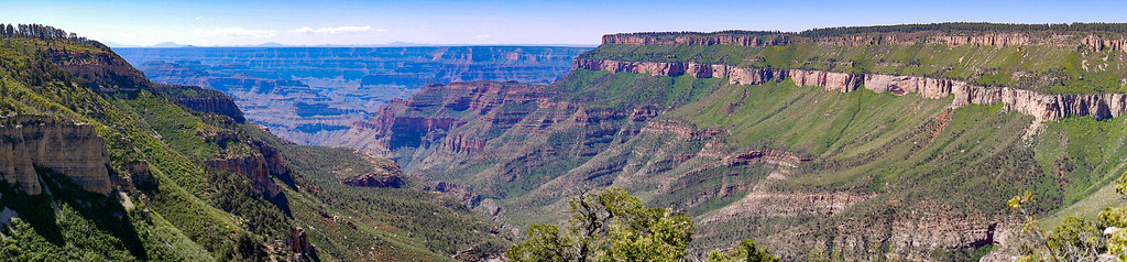
From Muav Saddle, we headed up to Swamp Point and once back on the rim we took a long break.
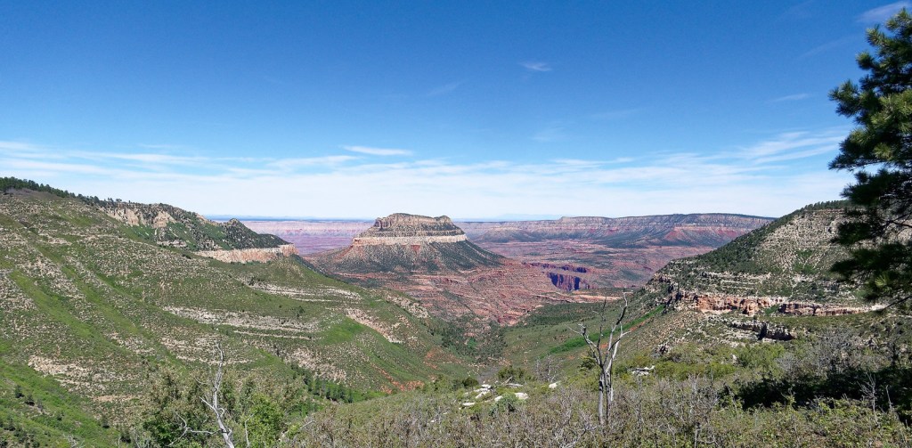
I got out the map and realized we could see across to …
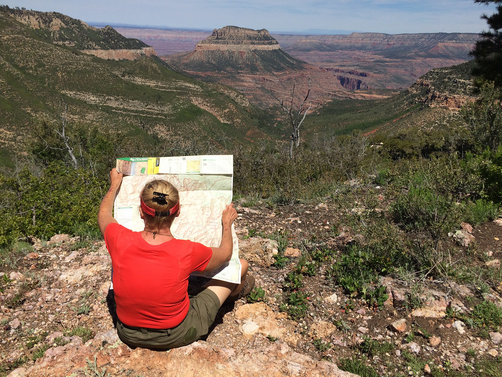
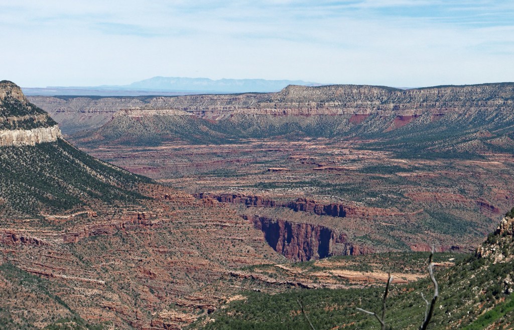
… the Tapeats Amphitheater, the Esplanade, Bridger’s Knoll and the general direction of the Bill Hall Trail, the way we had taken to Thunder River six years ago.
John took advantage of the cell service we had (from the South Rim) and downloaded some news podcasts to listen to on the hike out. The road seemed longer than on the way in as there was a slight incline. But we appreciated the fact that the Park Service had made great headway in clearing downed trees. In addition, on our drive out we also noticed the Forest Service had cleared the trees we had previously driven around.
We were happy to have finally been able to hike this trail, but we looked forward to returning to our motorhome and some creature comforts, like adequate food.
All photos from this trip are on Flickr.


Leave a Reply