In April 2013, we did a five-day, four-night backpack trip on the Royal Arch Loop in Grand Canyon National Park, Arizona. John was 60 and I was 58.
The Royal Arch Loop is considered to be one of the more challenging routes in the park. To quote the park service trail description of the Royal Arch Loop:
“The Royal Arch Loop is appropriate for experienced canyon hikers only, walkers who have paid their dues and acquired the appropriate wilderness skills, whose experience allows proper rigging of rappel anchors, and who can easily and safely rope down vertical cliffs. For such people the Royal Arch Loop offers a top drawer canyon adventure, replete with more natural beauty than humans can absorb. For those lacking the required skill and judgment this hike offers about a million ways to get into serious trouble in a remote part of the Grand Canyon.”
Getting to the South Bass Trailhead involved a long drive on a rough dirt road. We didn’t have any trouble getting there in our Subaru.
We wanted to get an early start, so we chose to sleep in our car at the trailhead. It was quite cold that night, and it wasn’t easy getting started that morning, but we were looking forward to dropping into the canyon and warmer temperatures.
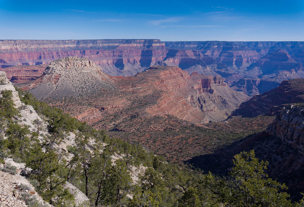
The South Bass Trail intersects the Royal Arch Route on the Esplanade, an intermediate level between the rim and the Tonto Platform.
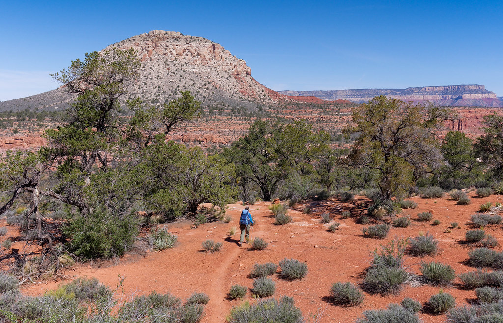
The Royal Arch Route then begins dropping into Arch Canyon.
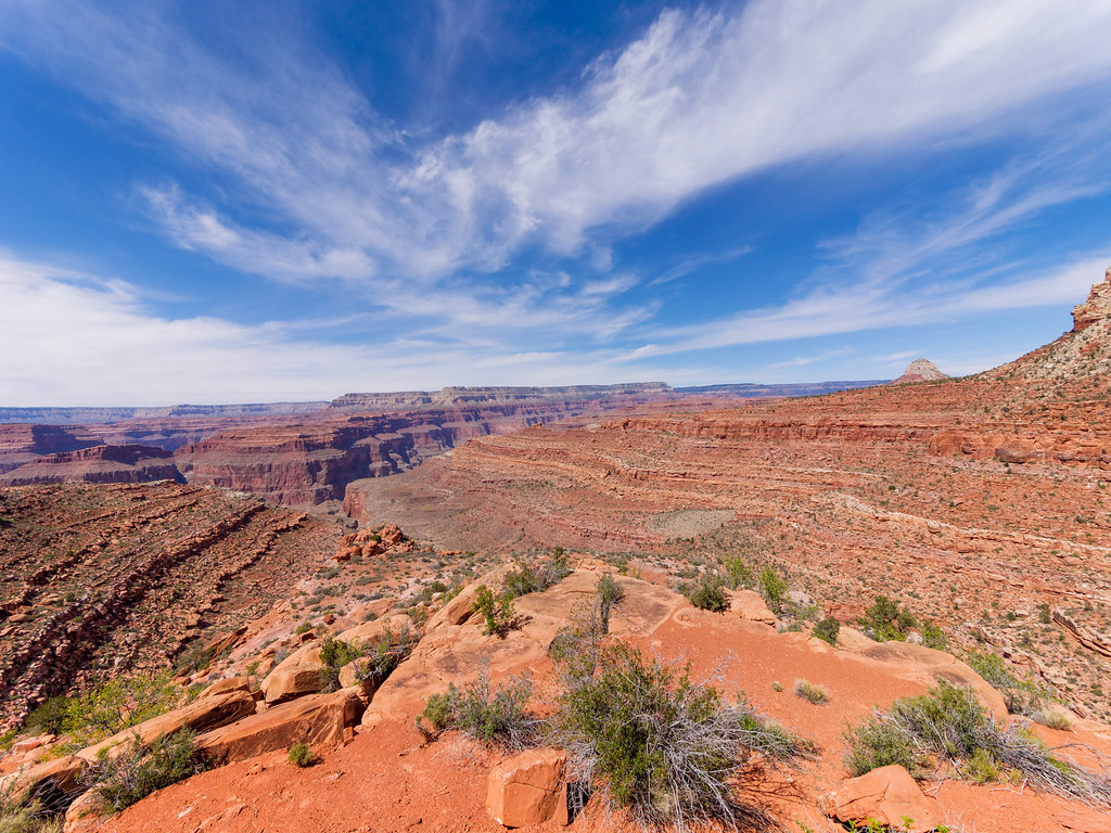
The route continues down the canyon where Arch Creek sometimes runs. Apparently there are times when one must do some wading on this route, but it was not an issue for us.
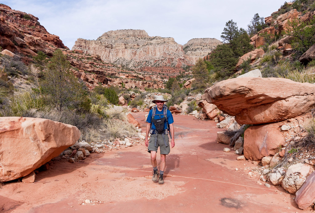
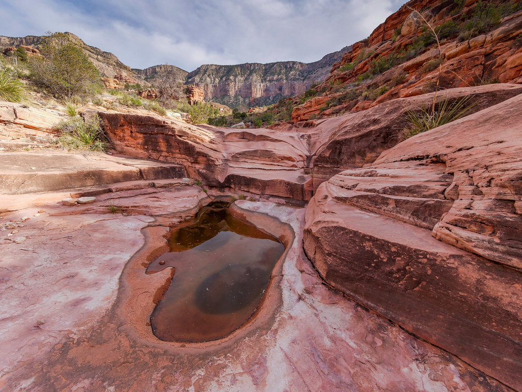
Arch Creek is the only source of water, and we were under the impression that we would encounter running water by the end of the day. So we passed by several potholes without collecting any water. Each contained water of varying clarity, and all were inhabited by frogs in various stages of development from tadpoles to full-grown frogs who croaked loudly and often.
As the route continued down the canyon, we came to a large pour-off. We took the route to the right.
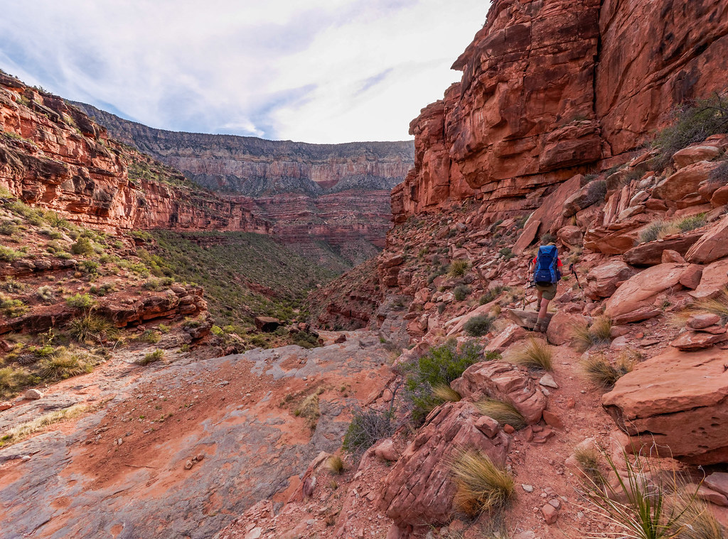
We’d read accounts by people who have taken the airy route to the left, so we were quite content to take the easier way down.
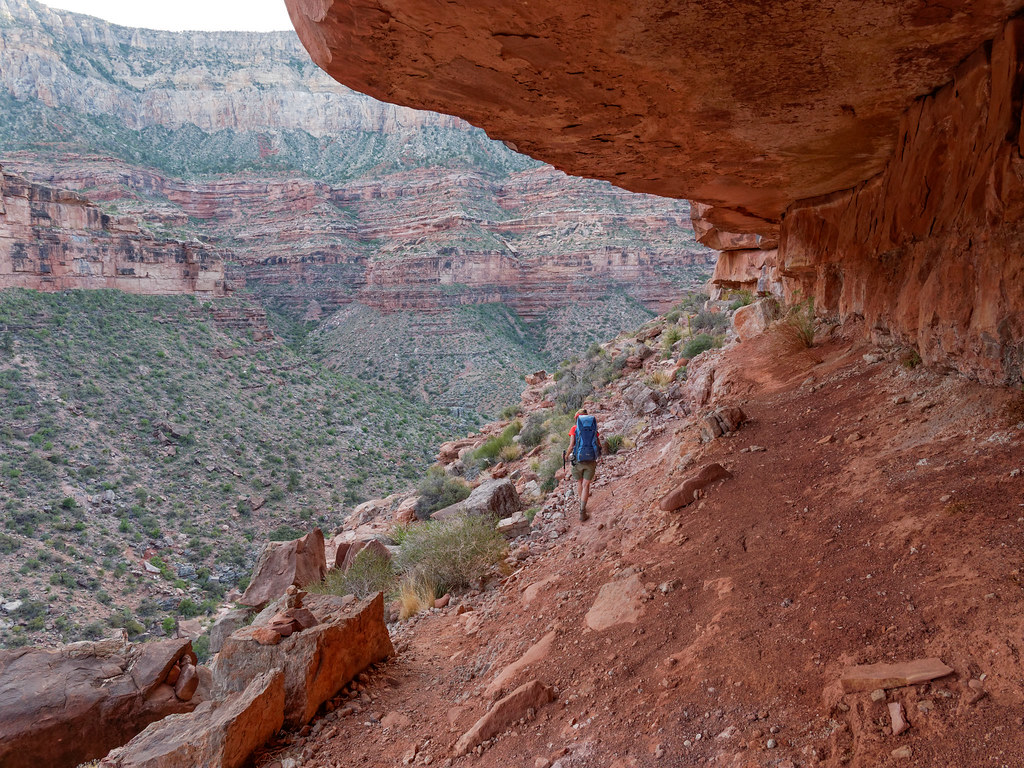
Although there were places that made my knees unhappy …
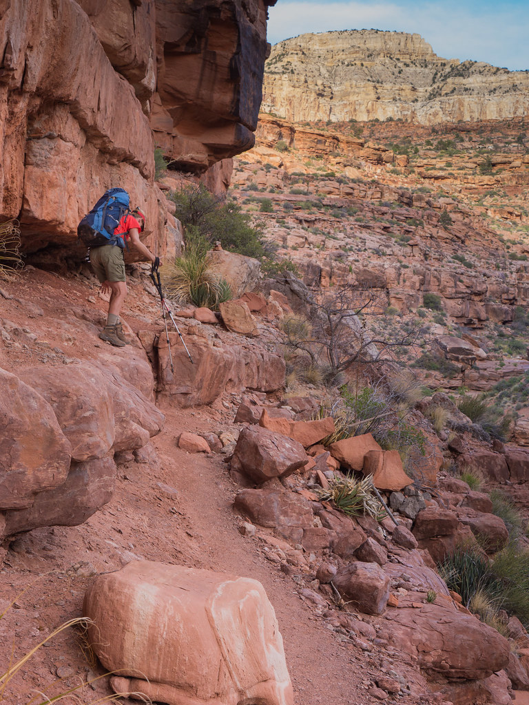
… in more than one way.
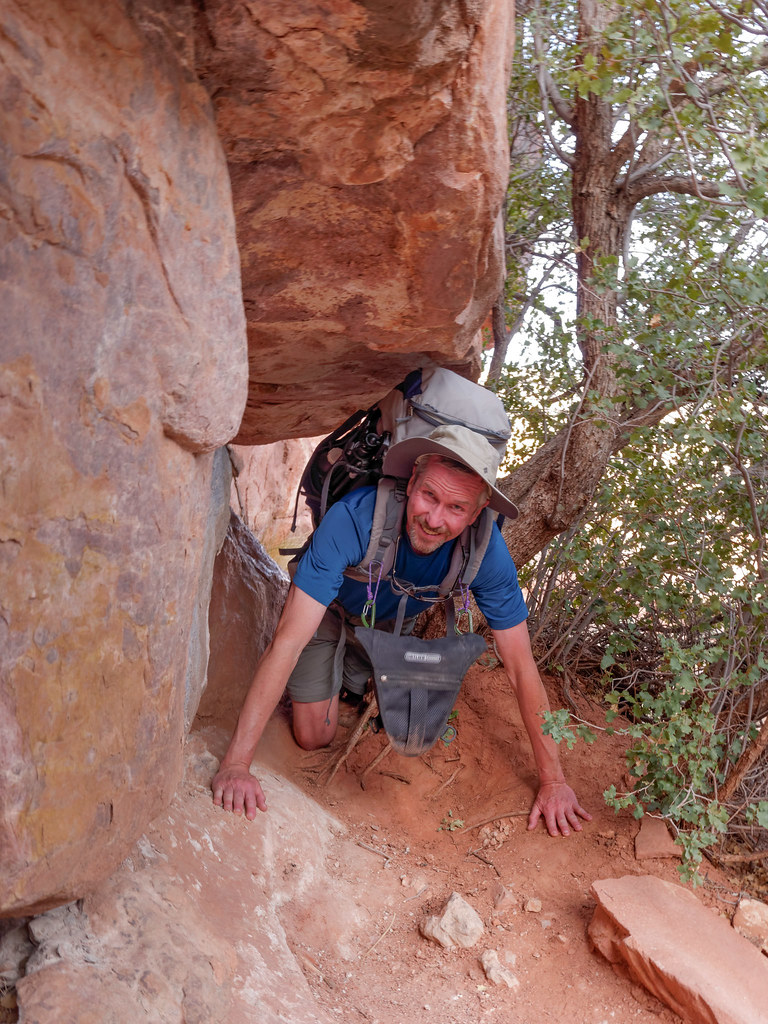
The way down the canyon was slower than we had hoped. It is quite rocky and periodically blocked by boulders. While John’s legs were long enough and his knees strong enough to get over them unaided, I needed occasional assistance. Sometimes I needed to grab his arm to pull myself up. Other times he placed his foot high up on a boulder so I could set my foot on it before pushing off. It became obvious we would not make it all the way to Royal Arch that day.
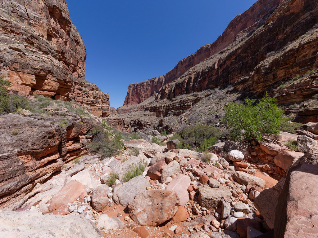
Later in the day we became anxious about reaching that running water we had read about. We were now regretting having passed up so many potholes as we hadn’t seen one for a while. Once it got dark, we were really concerned. Hiking after dark on trails is not a problem for us, but this route was much harder. John did figure out that we could find water by listening for frogs. At one point we could hear them in the distance, but unfortunately they were located far up a side canyon blocked by boulders too dangerous to climb by headlamp. So we continued on.
Finally, we started hearing a single frog song down the canyon. We found the pothole he called home and, fortunately, it had enough water to share. It did taste a bit froggy but wasn’t too bad as long as you didn’t look at it too closely. Lucky for us, there was room for our tent nearby as we discovered the next morning that the route below us would have been more than we should have attempted after dark.
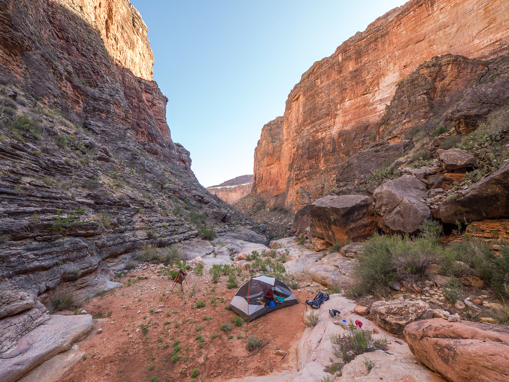
The next morning we continued down the canyon. Sometimes the route was easy …
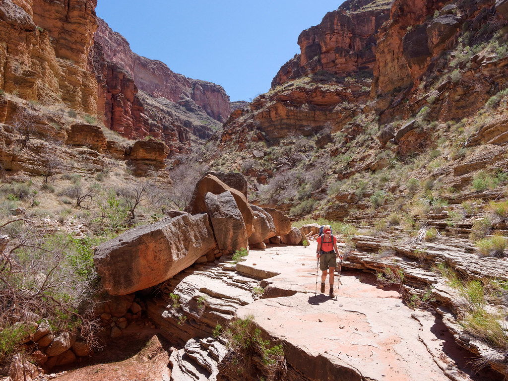
… and other times, not as much.
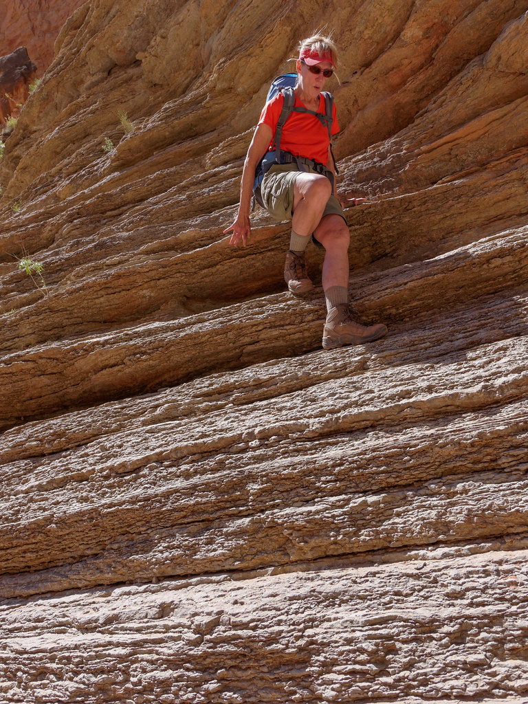
We did eventually encounter that running water, but it looked less appealing than the water we were lucky enough to have found the previous night.
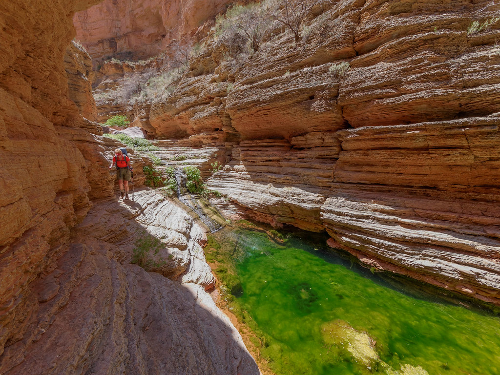
We continued down the canyon past the junction with the trail that climbs out of the canyon. Of course, one of the highlights of the route is Royal Arch (I’m in the photo for scale). It is one of only two natural arches in the park. It is a popular place to camp, and we wouldn’t have minded getting this far the night before, but that was an unrealistic goal. We did get there in time to eat lunch.
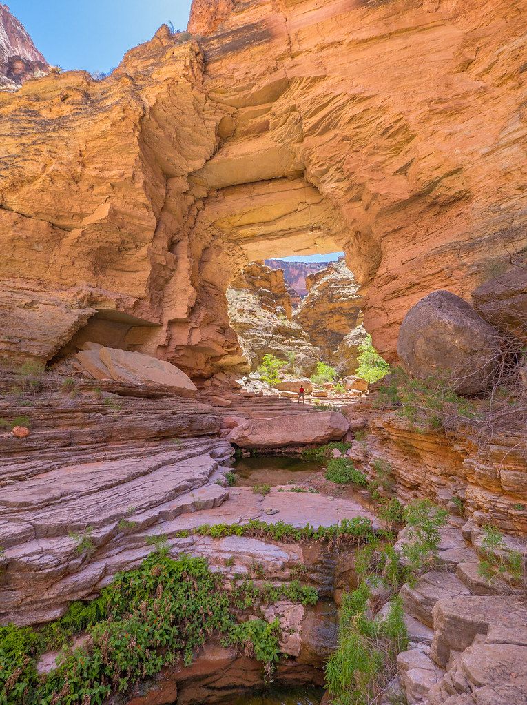
Arch Creek is flowing here, and we thoroughly enjoyed the colder water (with not even a hint of frog). By going through the arch, you can see down the canyon a short way. We would be seeing the outflow of Arch Creek into the Colorado River on the following day.
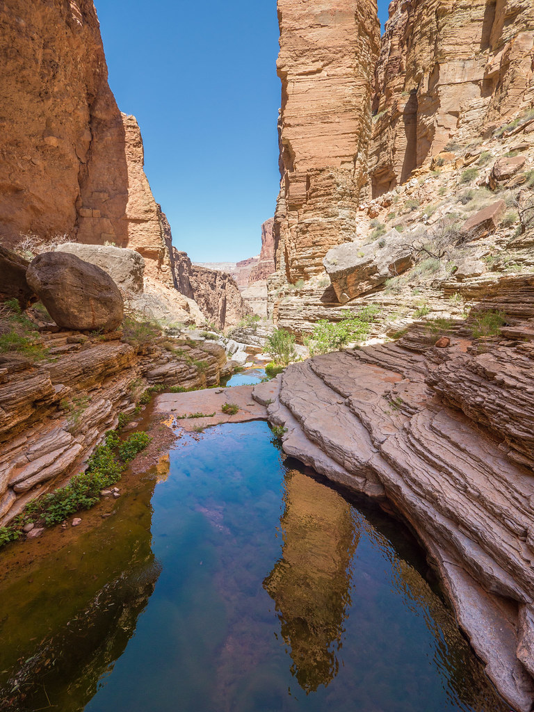
After leaving Royal Arch, we needed to backtrack a bit to the well-marked junction with the trail.
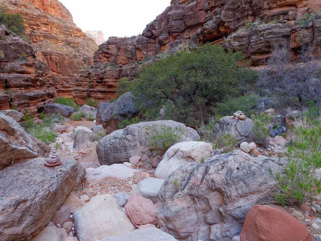
We needed to go a few more miles to our next camp at Toltec Beach. So we then continued on the Royal Arch Route out of the canyon …
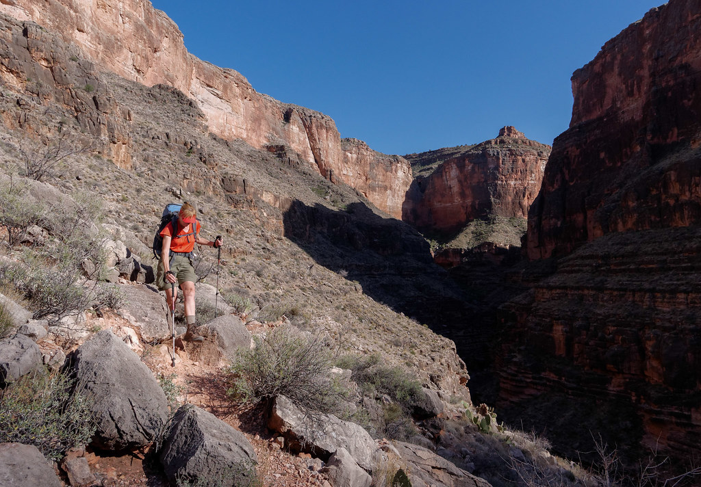
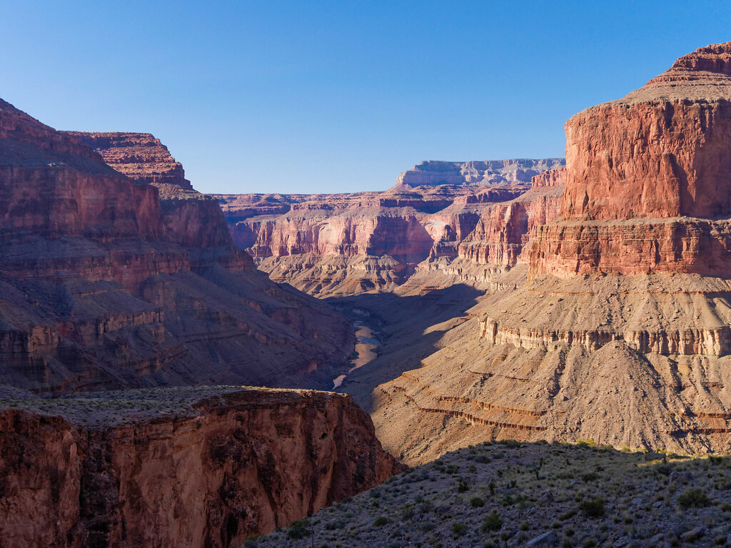
… where we got our first views of the river …
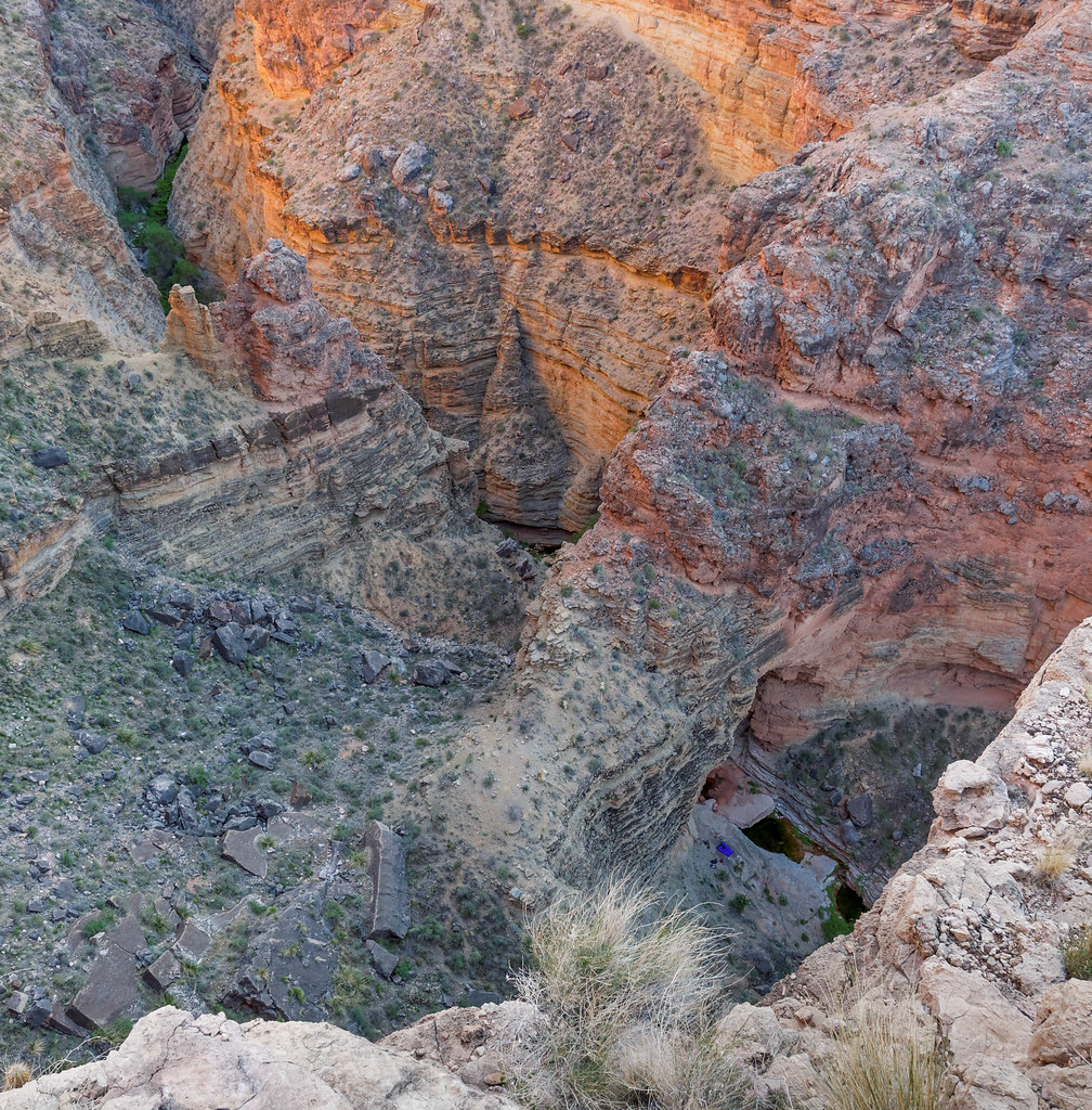
… as well as a view down into Arch Canyon looking down at the top of Royal Arch (lower right).
One of the things that makes the Royal Arch Loop challenging is the need to do a 20-foot rappel down a rock face. John has done a fair amount of rock climbing in his past, and we had all the necessary gear: harness, rope, and webbing. While he had rappelled before, I had not, so I was a bit anxious about it. I had practiced some off the back of our motorhome, and I understood the principles. I just wasn’t looking forward to taking that first step backward. However, it wasn’t bad once I leaned back and committed to the rope. It was then a simple matter to walk down.
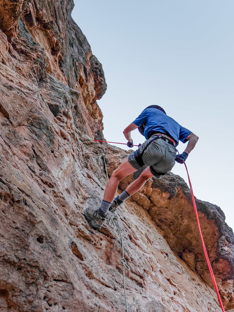
Once off the rappel, there was still a fair amount of down climbing to be done. I was so happy to finally get to the bottom.
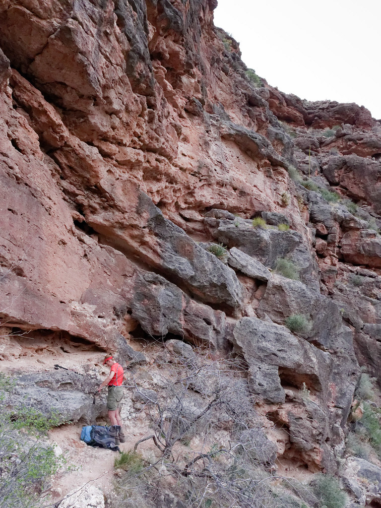
Once down the rock face, we continued down toward the river and Toltec Beach, where we would camp that night.
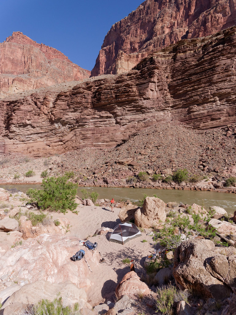
The next morning, we did a short day hike down the river to see another highlight of the Royal Arch Loop, Elves Chasm.
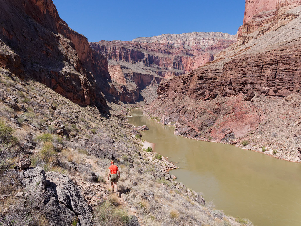
Elves Chasm is a popular stopping point for rafters, so we knew it was possible that we would encounter rafters there. While we weren’t too surprised when several boats floated past us, it was still disheartening to see them pull up at the beach below it.
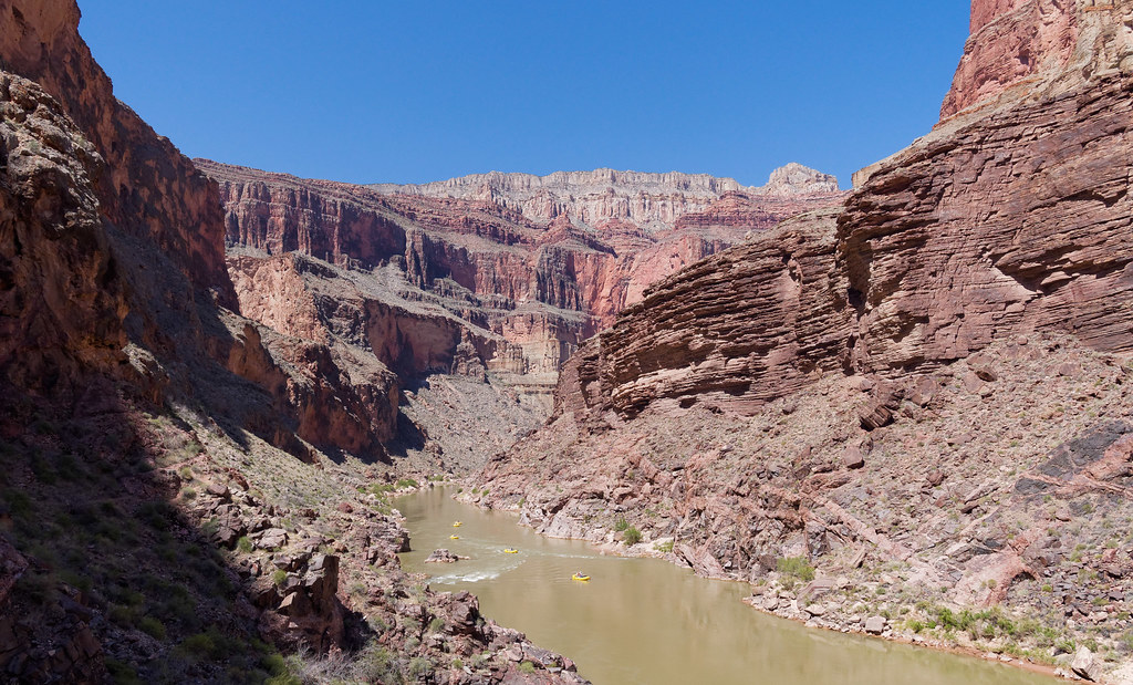
When we encountered this large alcove, we decided to take a lengthy break in the cool shade in hopes the rafters would have left Elves Chasm by the time we got there.
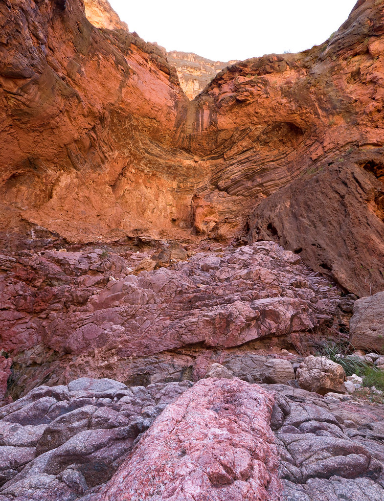
And they had! We quickly made our way up the canyon before any more showed up. We followed Arch Creek upstream …
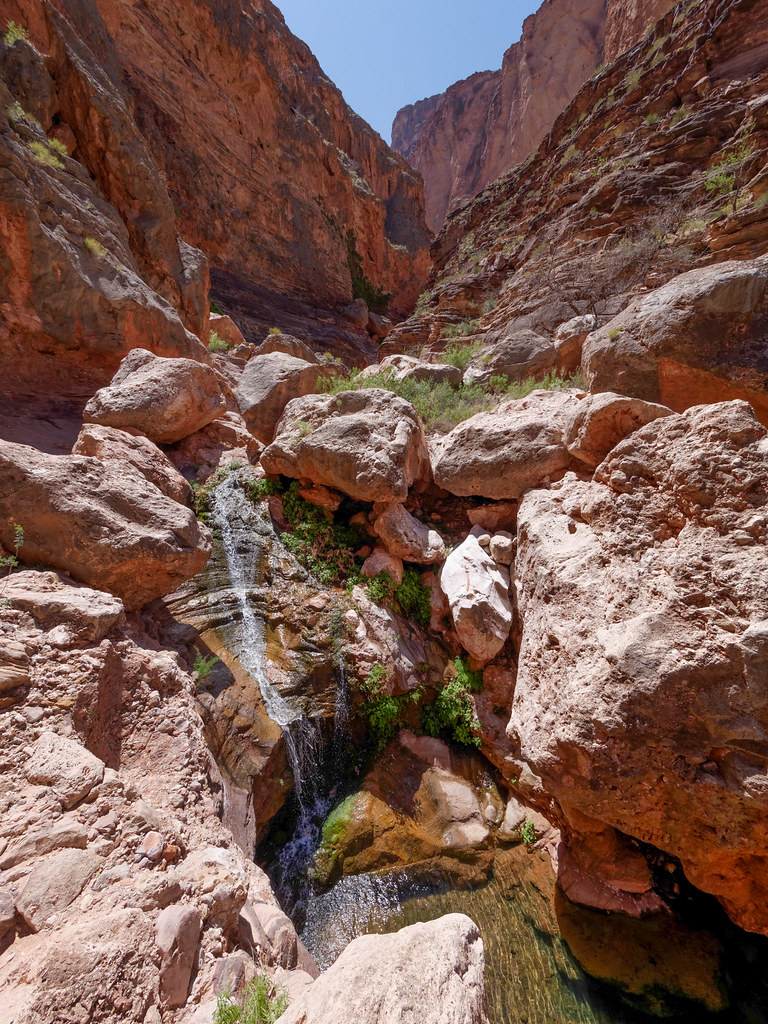
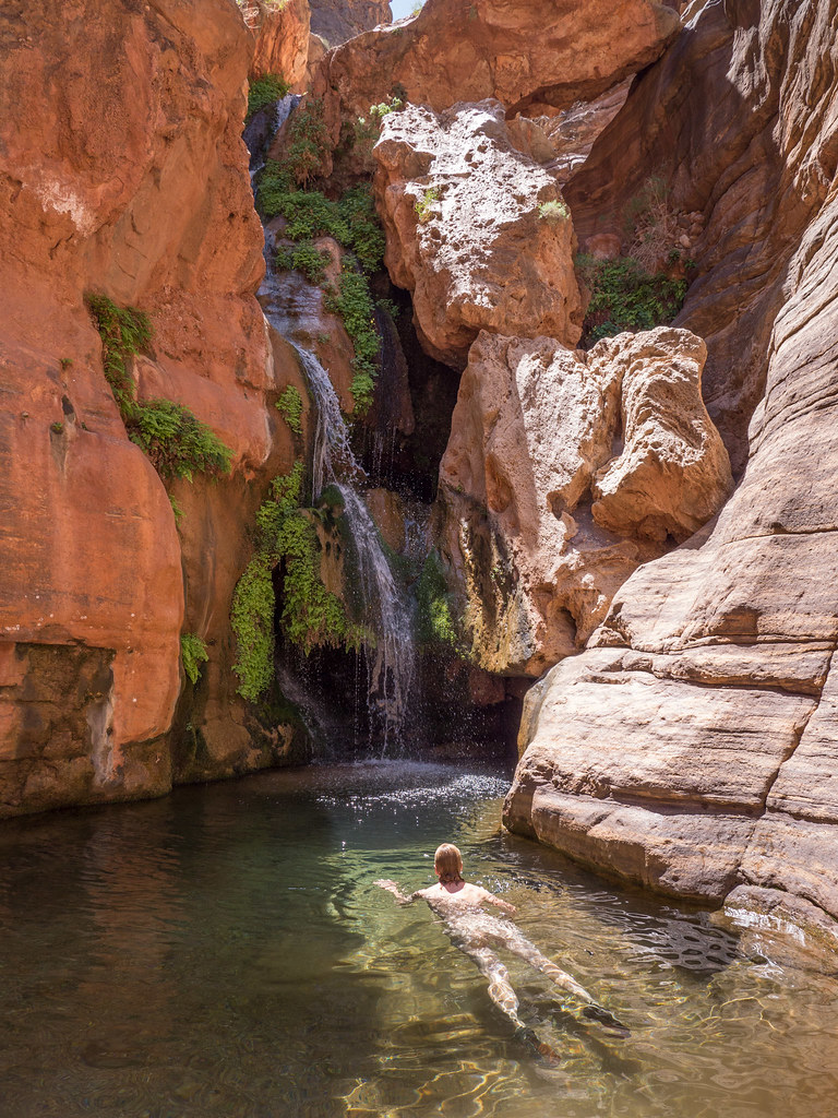
… until we reached Elves Chasm. This is such a special place with the lovely waterfall, the ferns and the pool. We felt so fortunate to have it all to ourselves.
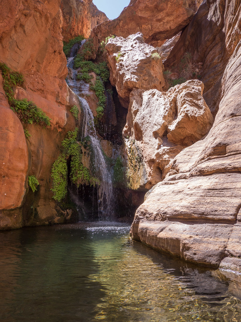
We thoroughly enjoyed our time there in total solitude! John was able to take his time with photography without other people getting in his photographs. I was able to take a little swim in the unbelievably cold water.
We reluctantly left Elves Chasm, but we needed to get back to Toltec Beach, get our gear and move on to our next camp. However, we knew our next camp would be dry, so we decided to cook and eat supper before the trail left the river. It was still quite hot at Toltec Beach and it had become quite windy, so it was less than enjoyable to huddle in the limited shade eating hot food while being pelted with sand.
The route slowly climbs above the river through an area of rough volcanic rock, so different from the red sandstone we are more accustomed to.
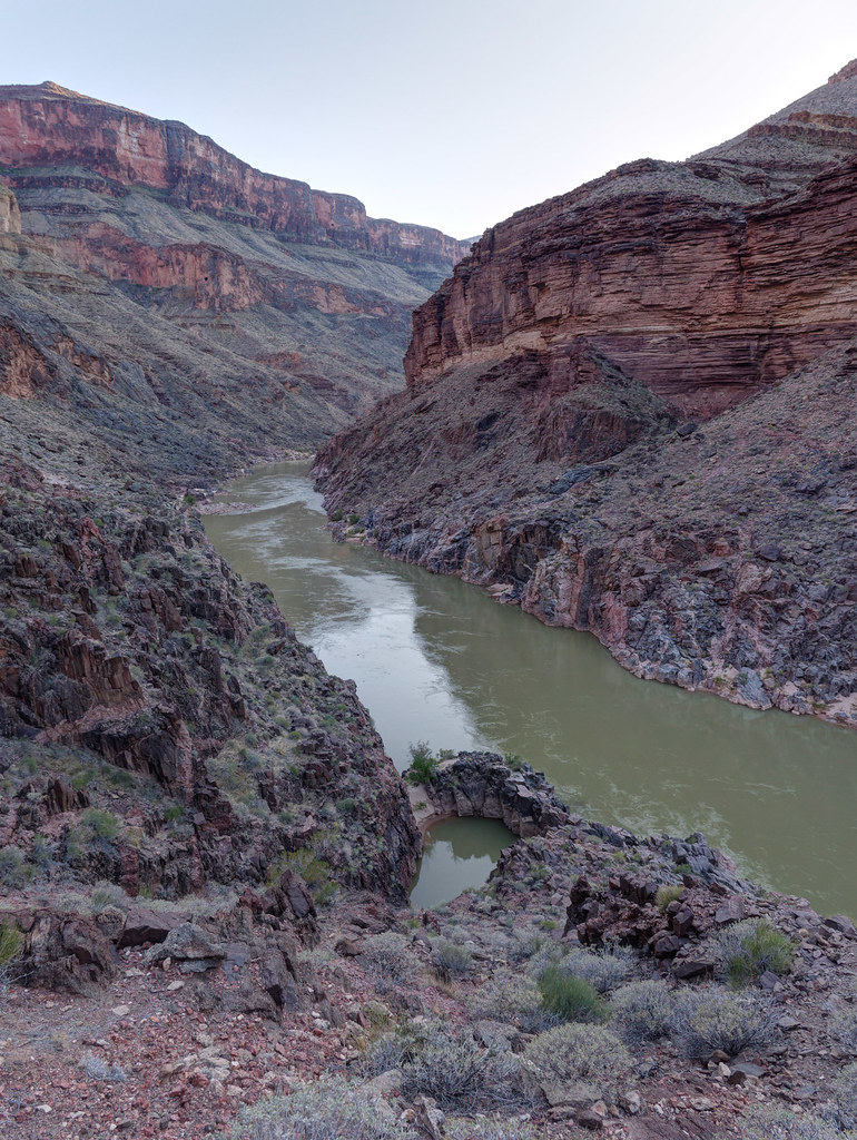
The route continues climbing up through Garnet Canyon. Our plan was to continue hiking after dark, making use of the cooler temperatures. We figured once we got up to the Tonto Platform, and the beginning of the Tonto Trail, that it would be no problem.
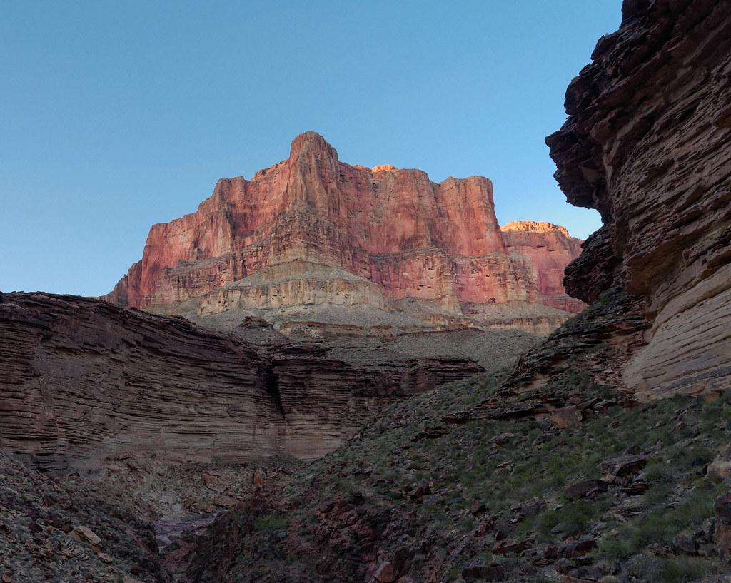
Unfortunately, we discovered there were no cairns and the trail disappeared in the light of our headlamps, so we looked for someplace to put up our tent.
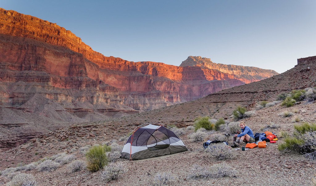
The next morning, we started looking around for the trail and were surprised to discover that we had put up our tent just a few feet off of it. However, even in full daylight this portion of the Tonto Trail is sketchy at best.
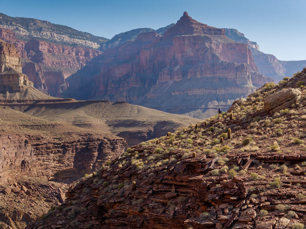
Once again we enjoyed expansive views from the Tonto looking up at the South Rim, …
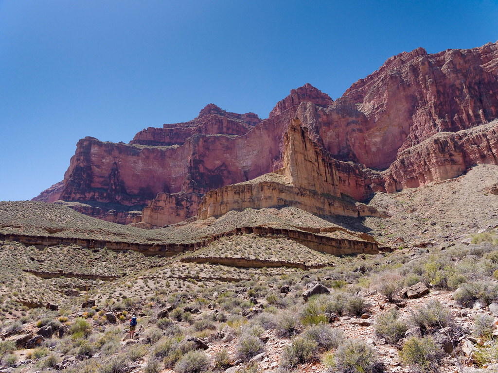
… down to the river …
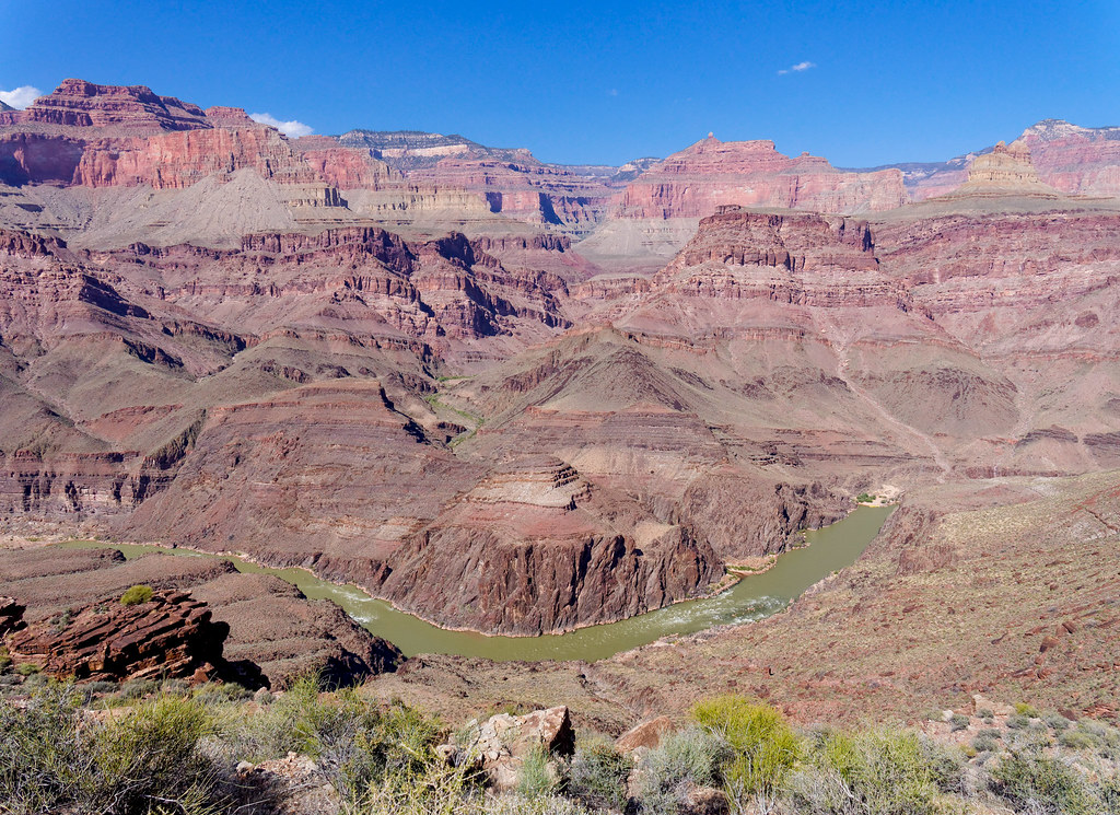
… and the colorful desert in between.
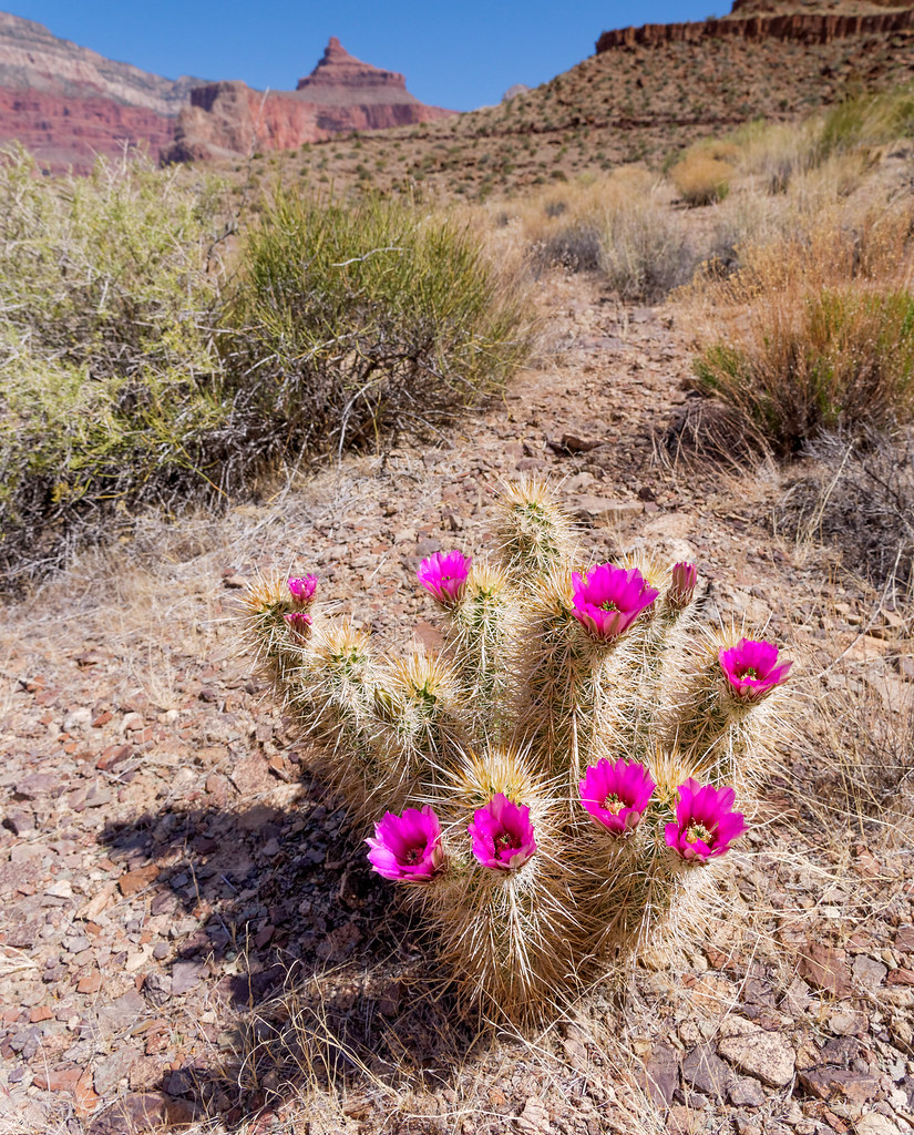
We also encountered some of the numerous side canyons, common along the Tonto Trail, that open into the main canyon. The Tonto Trail circumvents each one, Copper Canyon in this case.
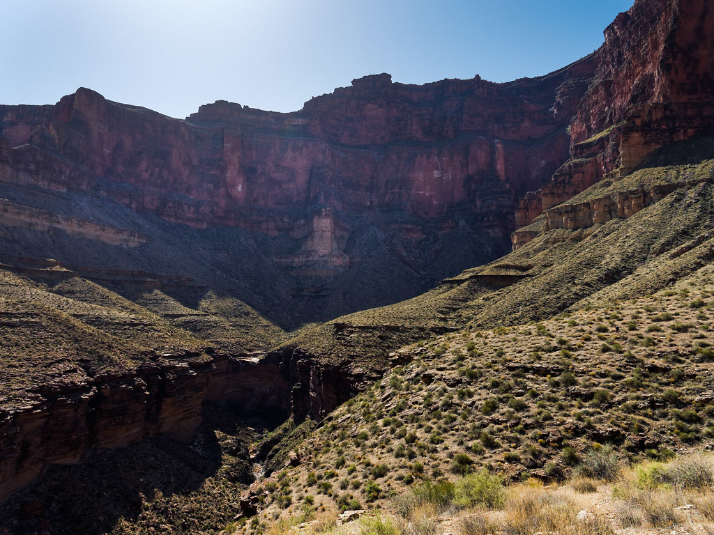
When we passed Tyndall Dome, we knew we would soon hook up with the South Bass Trail.
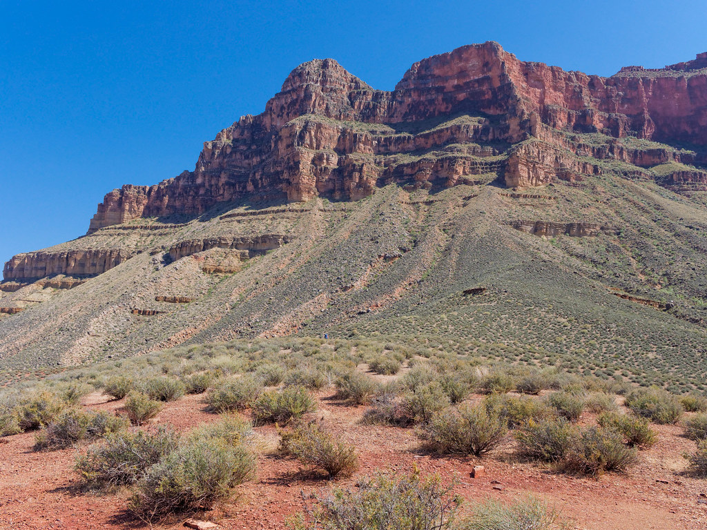
Once on the South Bass Trail, we headed down Bass Canyon toward the Colorado River …
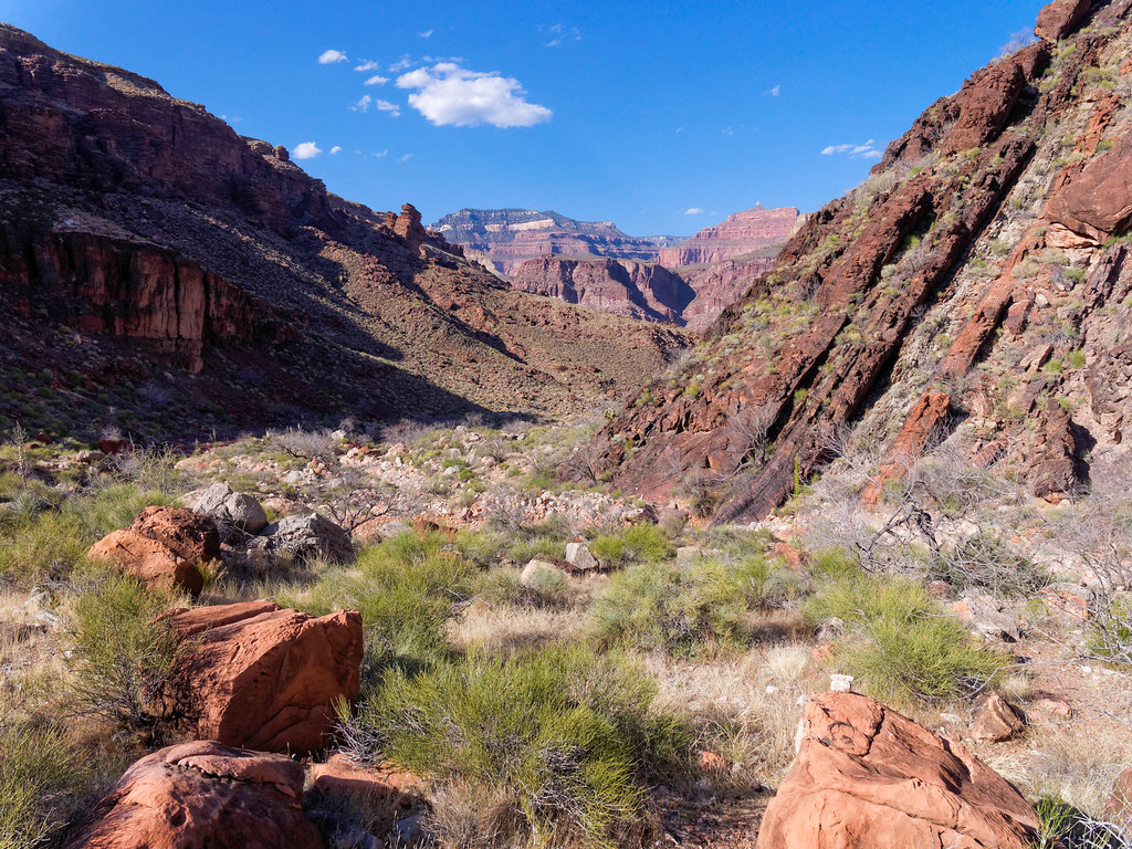
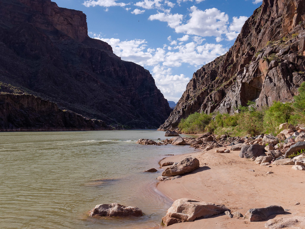
… and South Bass Beach. We made camp on a surprisingly secluded dune not far above the river.
The next morning, we headed back up the South Bass Trail through Bass Canyon.
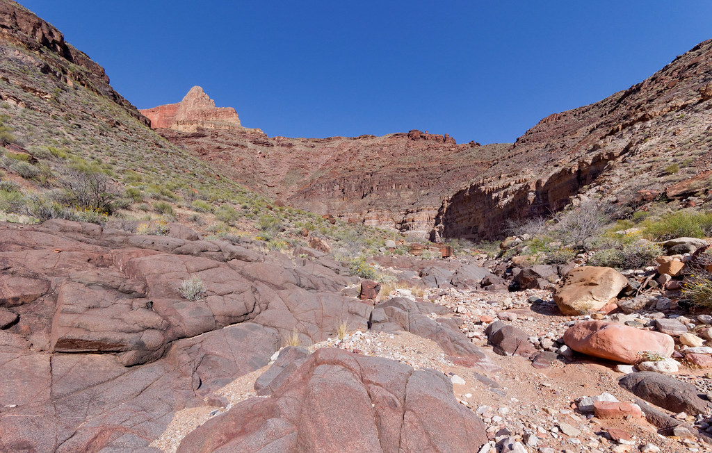
As we headed up the South Bass Trail, we would periodically stop and look back. We both really enjoy the feeling of satisfaction that we get when looking back to where we had been just a few hours earlier.
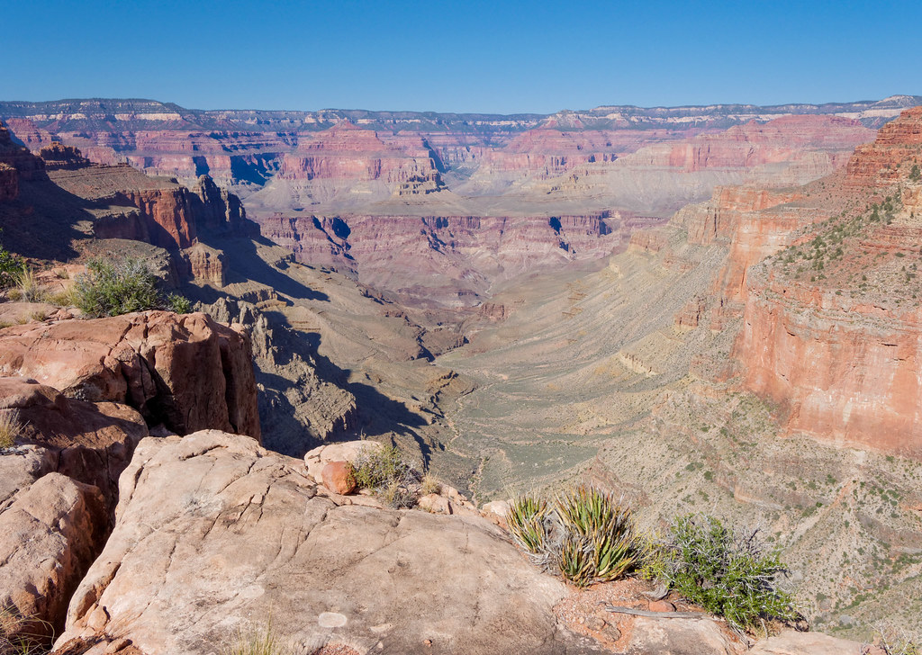
This trip was a confidence builder for me. It was challenging, but we were both up for it and it became one of our favorites.
All photos from this trip are on Flickr.


Leave a Reply