In April 2018, we spent six days and five nights backpacking the Royal Arch Loop. John was 65 and Jean was 63. The Grand Canyon NPS trail description states:
“The Royal Arch Loop is appropriate for experienced canyon hikers only, walkers who have paid their dues and acquired the appropriate wilderness skills, whose experience allows proper rigging of rappel anchors, and who can easily and safely rope down vertical cliffs. For such people the Royal Arch Loop offers a top drawer canyon adventure, replete with more natural beauty than humans can absorb. For those lacking the required skill and judgment this hike offers about a million ways to get into serious trouble in a remote part of the Grand Canyon.”
Our son Dan went with us. It would be the longest and most challenging backpack trip he had done. However, he had done Tanner/Escalante/Grandview with us in 2011, and John and I had done the Royal Arch Loop also in 2011, so we were confident he would have no trouble with the terrain.
However, we knew concerns about water could be a big issue for him as he likes to drink a lot and would not be acclimated to the dry climate (he lived in Pittsburgh at the time). According to the NPS, it is 14 miles from the trailhead to Royal Arch and guaranteed water. We knew there was a possibility of finding water in potholes in Royal Arch Canyon, but we decided to play it safe and not depend on it.
We knew from experience it was unrealistic for us to get all the way to the arch in one day no matter how early we started. The route down Royal Arch Canyon is rugged and filled with boulders which makes for slow going. We wanted this to be a relaxing trip for him, so we planned to dry camp somewhere on the Esplanade the first night and carry enough water to see us through the evening of the following day when we planned to reach Royal Arch.
This trip starts and ends at the South Bass Trailhead, which is about 30 miles from Grand Canyon Village. One issue is that the road out to the trailhead is dirt and impassable when wet. It is badly rutted and high-clearance vehicles are recommended (for more info). However, it was dry the morning we headed out and our Jeep Cherokee Trailhawk had no trouble. The road briefly crosses the Havasupai Indian Reservation, and the tribe charges $25.00 to cross their land, a price we are happy to pay so we can have the privilege of doing so. However, there may or may not be someone there to collect the fee. This was the third time we had driven out to this trailhead, but the first time we were stopped by someone to collect the fee. We gratefully paid him.
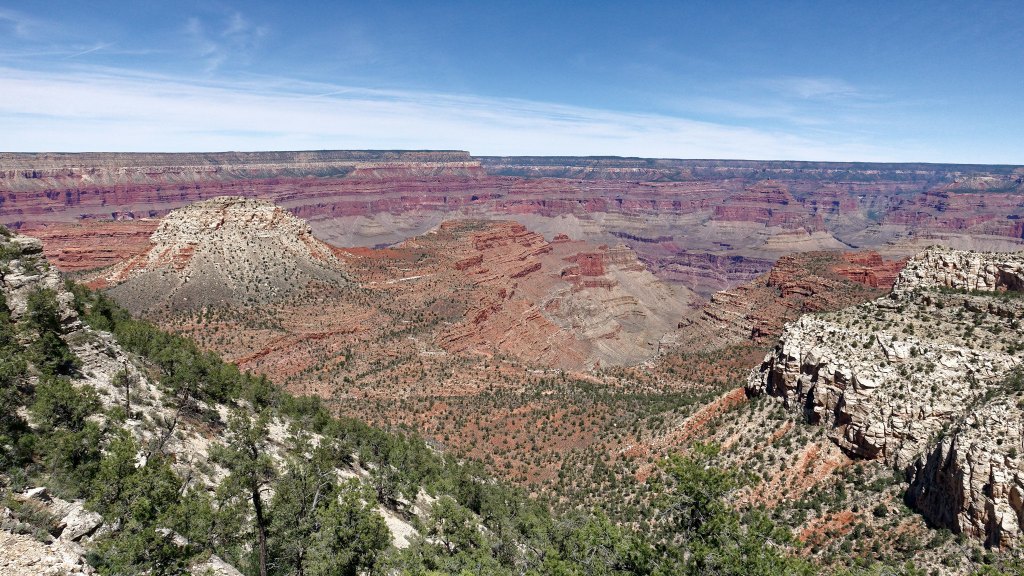
After eating lunch at the trailhead, we hoisted our packs and headed down the steep trail.
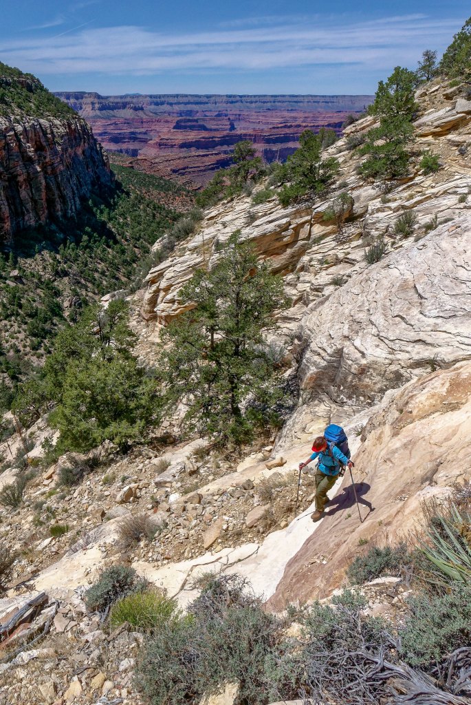
John and I have spreadsheets that help us to calculate our backpacking food to ensure we have enough but not too much. We are motivated to keep our pack weight down. However, Dan prefers to err on the side of having too much rather than risk coming up short and is willing to carry the additional weight. Between his ample food allotment and the extra water we were all carrying, our packs were quite heavy.
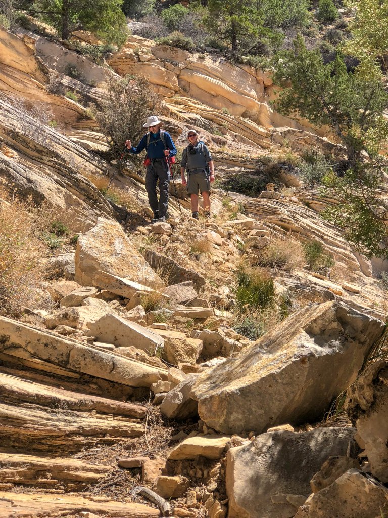
They were so heavy that John had made the painful decision to leave his camera at home and rely on his iPhone for photos. The camera on the iPhone 8 is better than previous versions, but it remained to be seen if John would find the results satisfactory.
We both had the route on Gaia GPS on our iPhones, a great phone app for hikers.
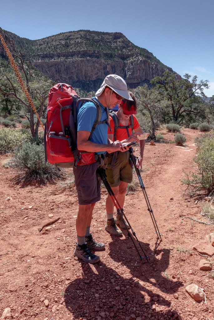
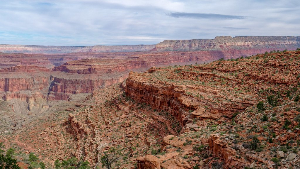
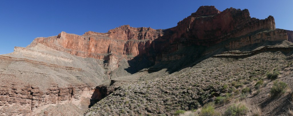
Once we reached the Esplanade, the going was easy.
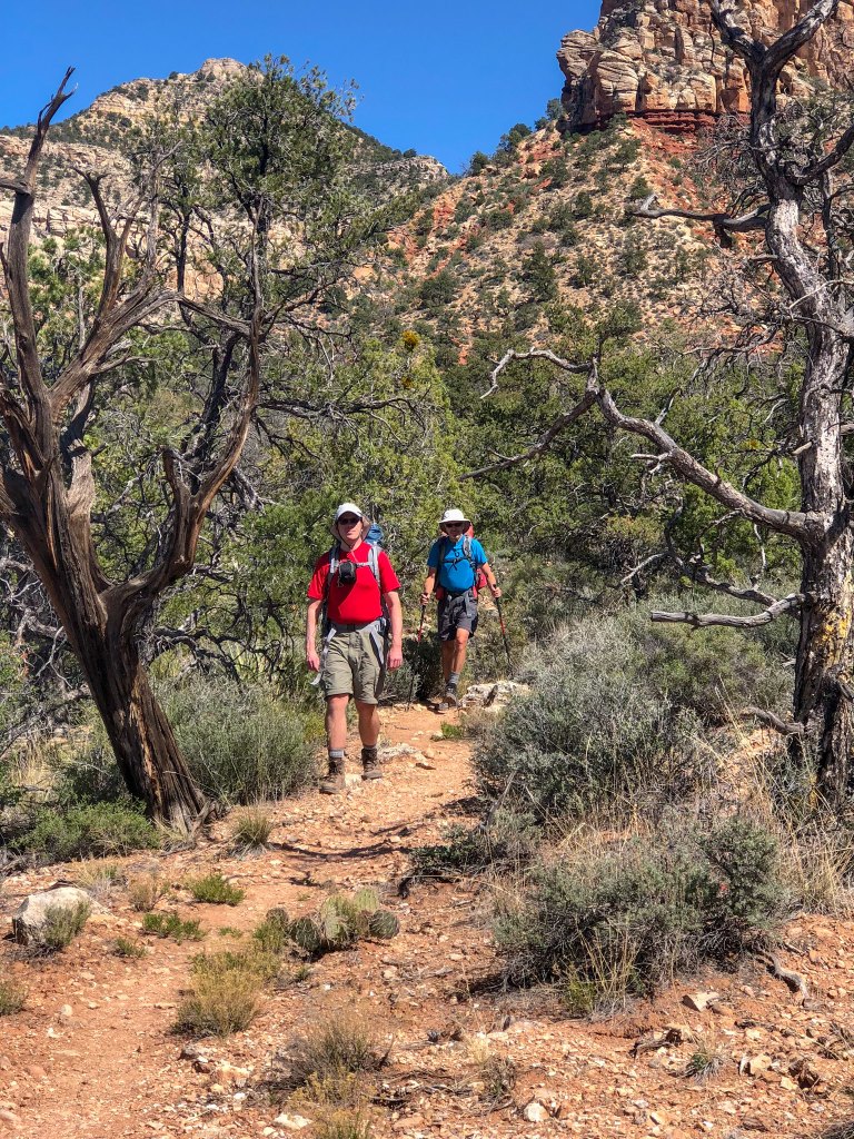
We had great views of the Esplanade, …
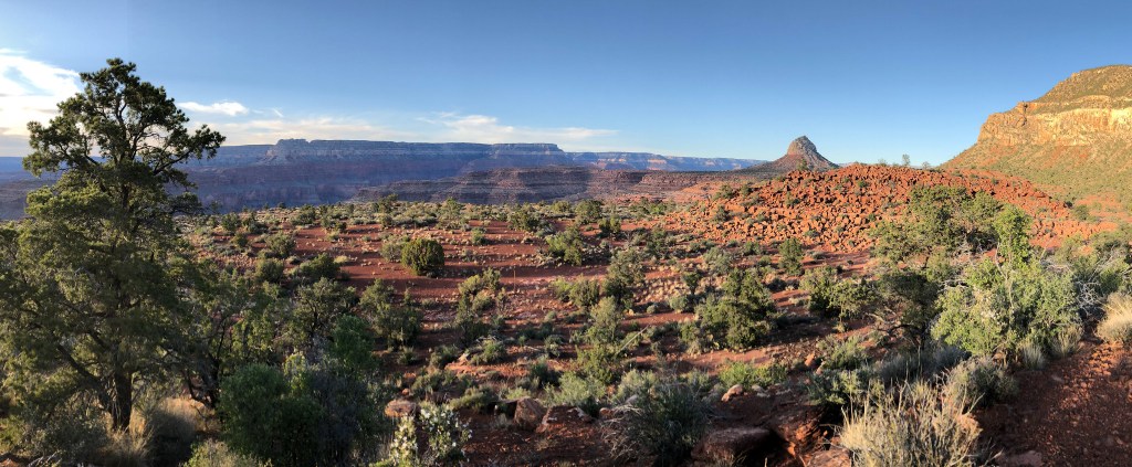
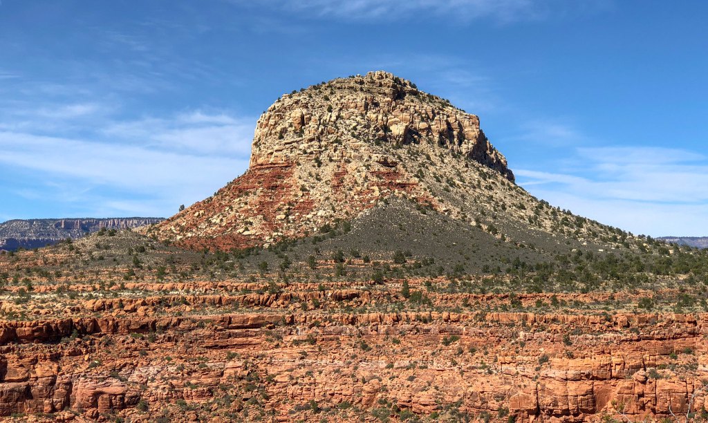
… of the imposing Mount Huethawali, …
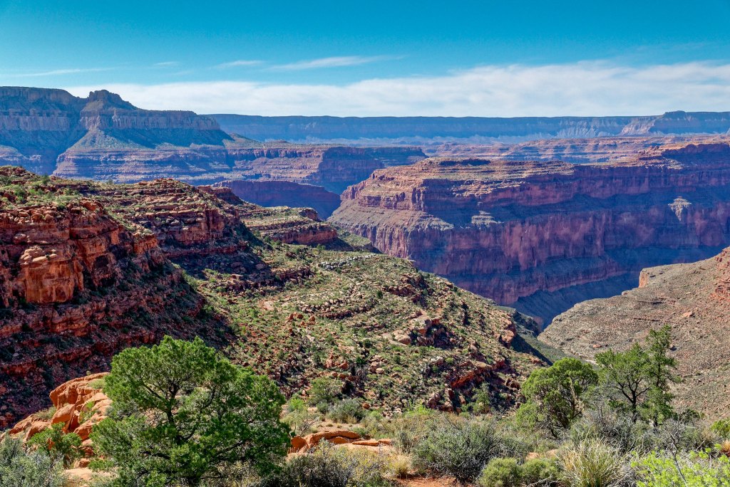
… and down into the canyon.
We only hiked about five miles that first day before stopping to make camp. One of our debates had been which sleeping bag to bring. Oftentimes in Grand Canyon we can get away with using our lightweight 40-degree bags if we are camping well within the canyon near the river. However, we knew it could be chilly on the Esplanade in mid-April so we decided to bring our heavier 20-degree bags as well as our tent fly (just in case).
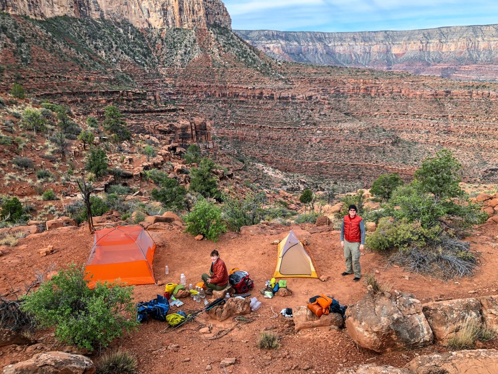
We intended to get an early start the next morning, but it just took longer to get the three of us up and moving. The trail continued along the Esplanade for a time and we made good time.
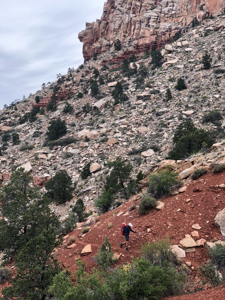
The great views continued.
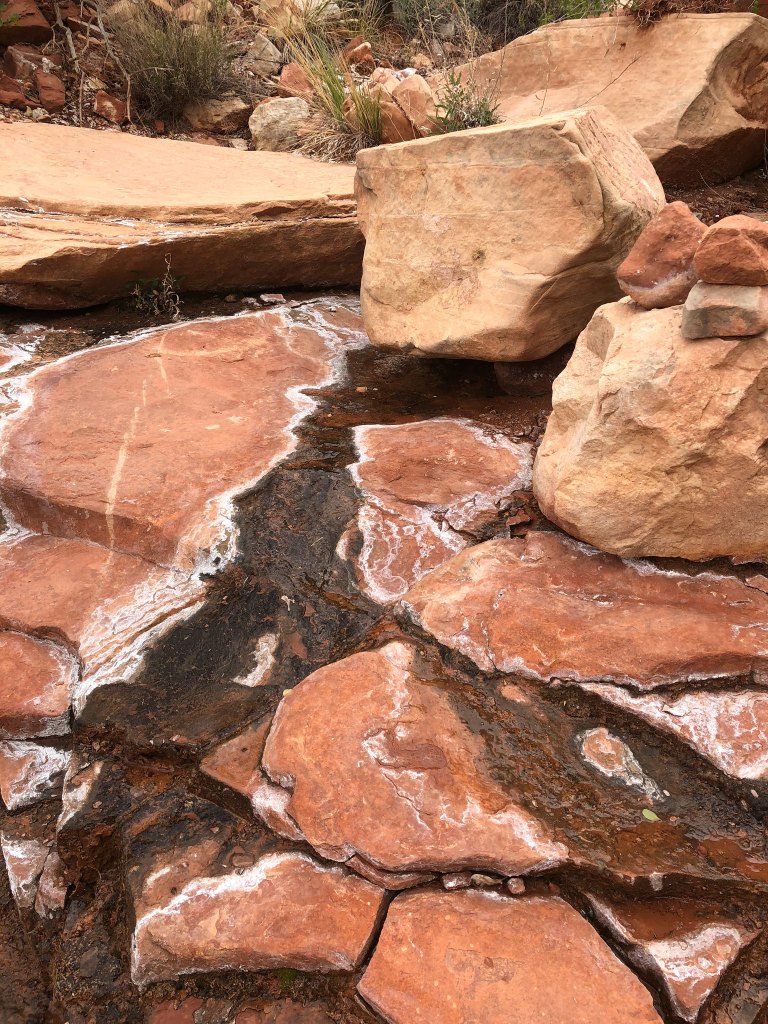
We passed this spring but viewed it with suspicion as we knew the white deposits indicated the presence of minerals which may cause gastrointestinal upset. But after such a dry winter, it was good to see there was any water at all flowing from it.
We continued along the easy and well-marked track …
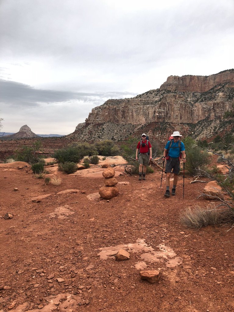
… only slowing when we needed to get around the numerous drainages.
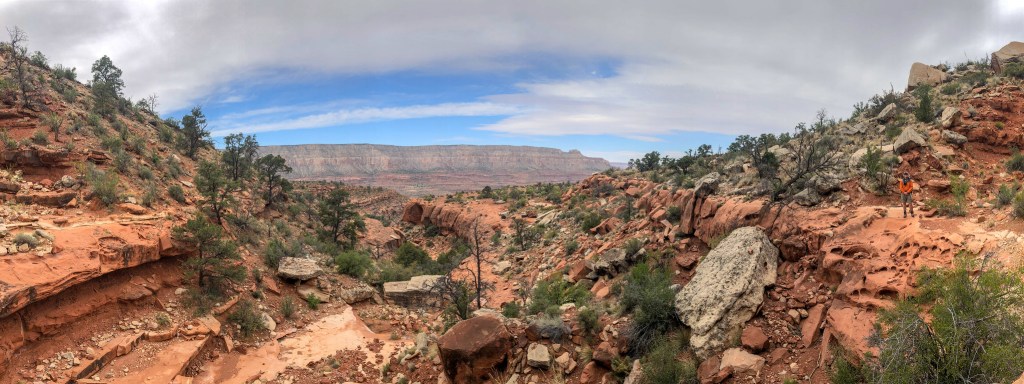
We knew we needed to drop into the eastern arm of Royal Arch Canyon. When we reached this spot, Gaia indicated we should continue and drop in the next drainage. However, there were some cairns that indicated we should drop in here.
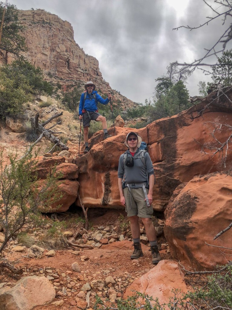
We have learned that Gaia is sometimes more general and does not always know exactly where the real trail or route is located, especially when it comes to navigating through or around drainages and side canyons. We have also learned that just because there is a cairn, it does not mean that is the right way or even the best way. Neither John nor I remembered any route-finding issues on our past trip, so in this situation we chose to follow the cairns.
In hindsight, we probably should have followed Gaia as route finding became more time-consuming and the terrain more rugged as we descended, but we had gone too far to turn back. In addition, it became quite windy with strong gusts that forced me to stop frequently and brace myself to keep from being knocked over. It was just one more thing that slowed us down.
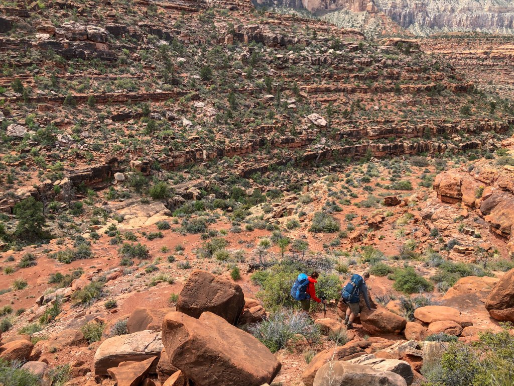
Fortunately, we finally joined the canyon we were supposed to be in and the going was much easier …
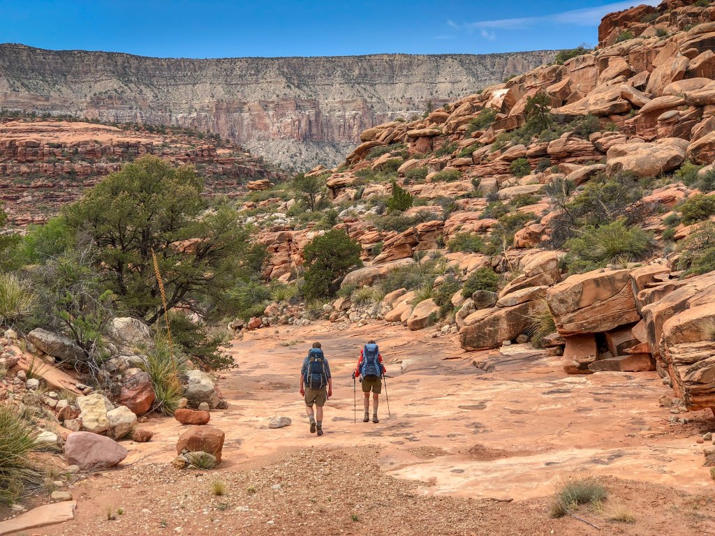
… with only some minor obstacles.
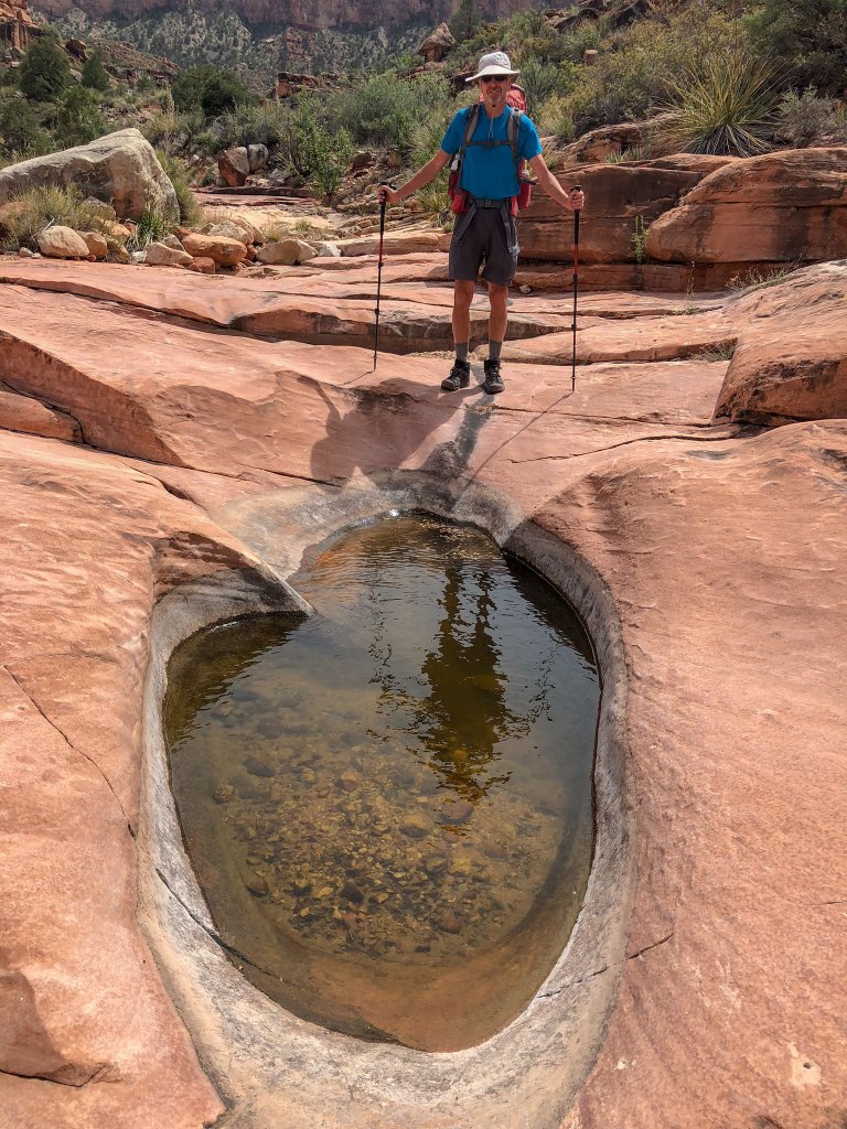
We were pleasantly surprised to begin encountering some sizable potholes in the Supai. We did not feel the need to collect any of the water, but it was good to know our intuition had been correct. However, when backpacking in the desert it is better to be safe than sorry.
We later encountered the 200-foot pour-off. The most used (and safest) bypass is on the right.
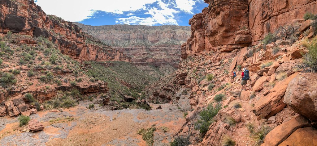
However, some daring souls take the route to the left …
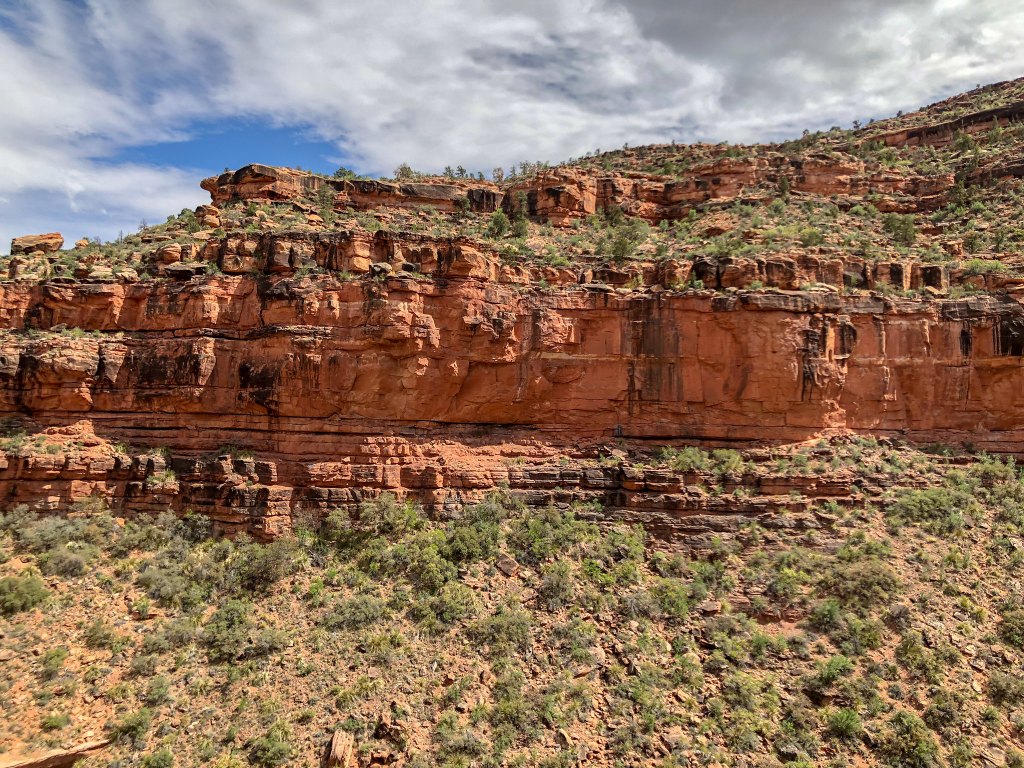
… and cross what is known as …
… the “Ledge of Death.” If you are curious about this route, here is a YouTube video.
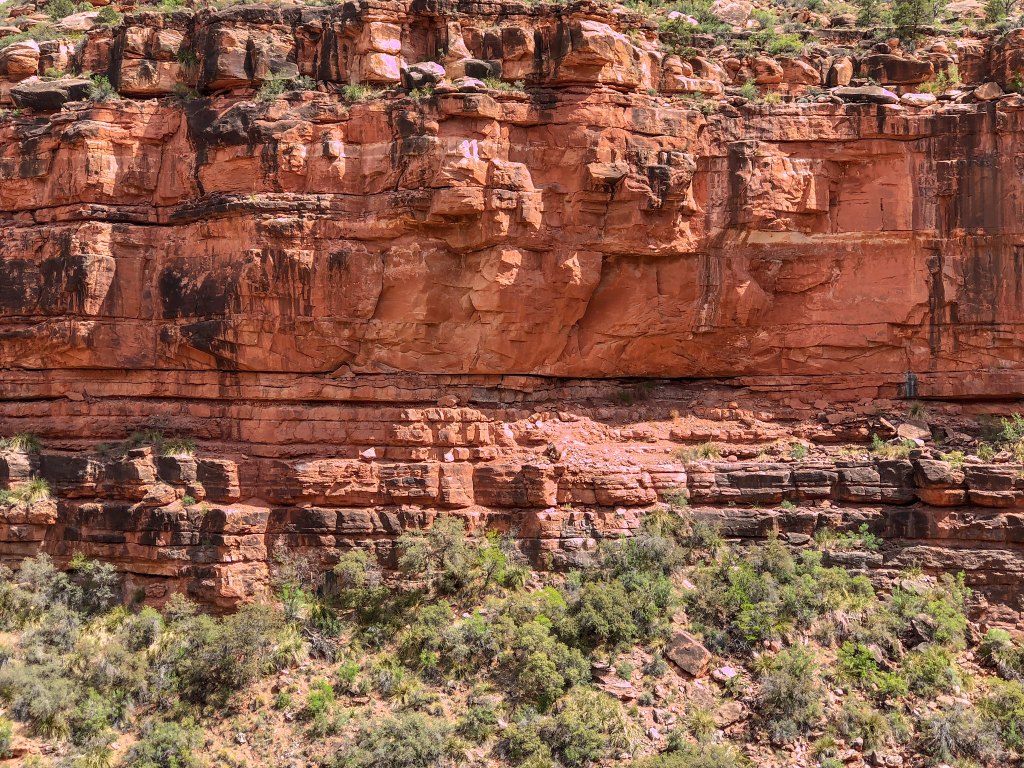
We didn’t go that way.
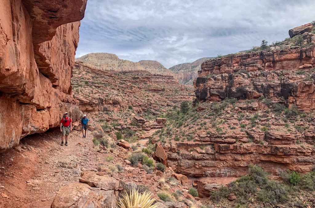
We took the “easy” way (at least it’s easy if you are not in your mid-60s).
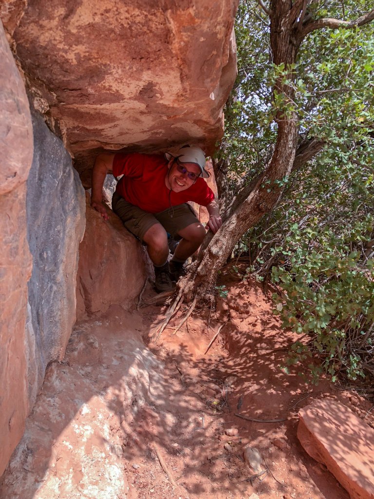
This route follows a ledge for a while …
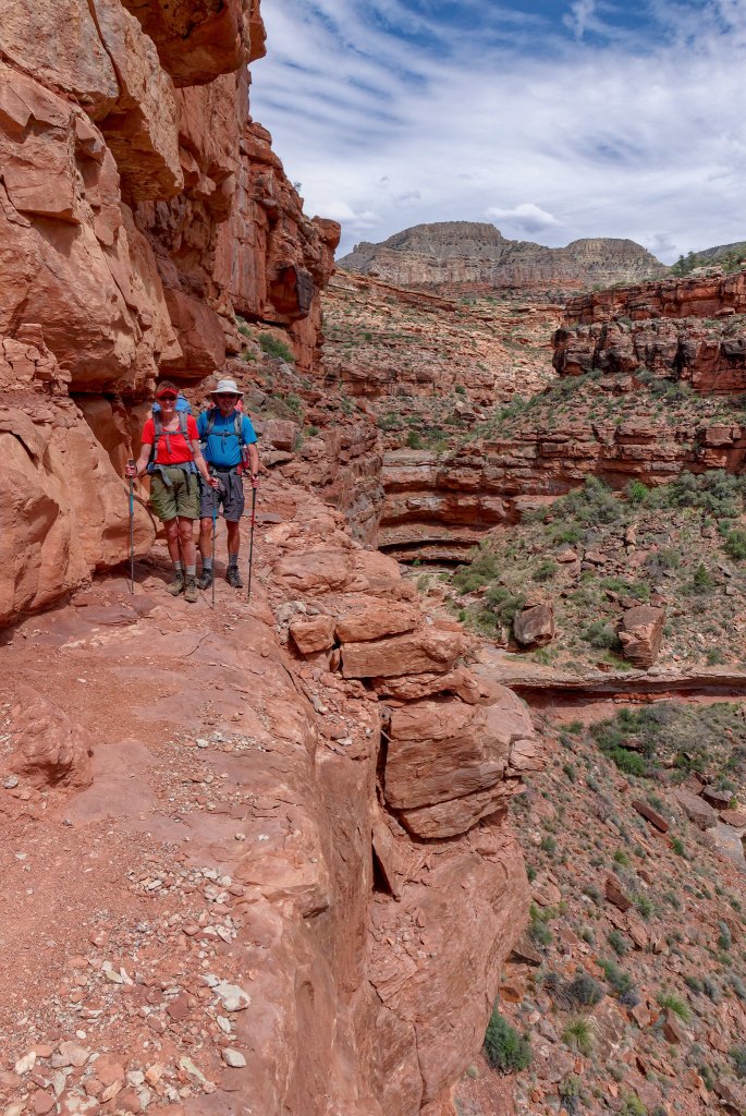
… until it is time to make the steep descent to the canyon floor.
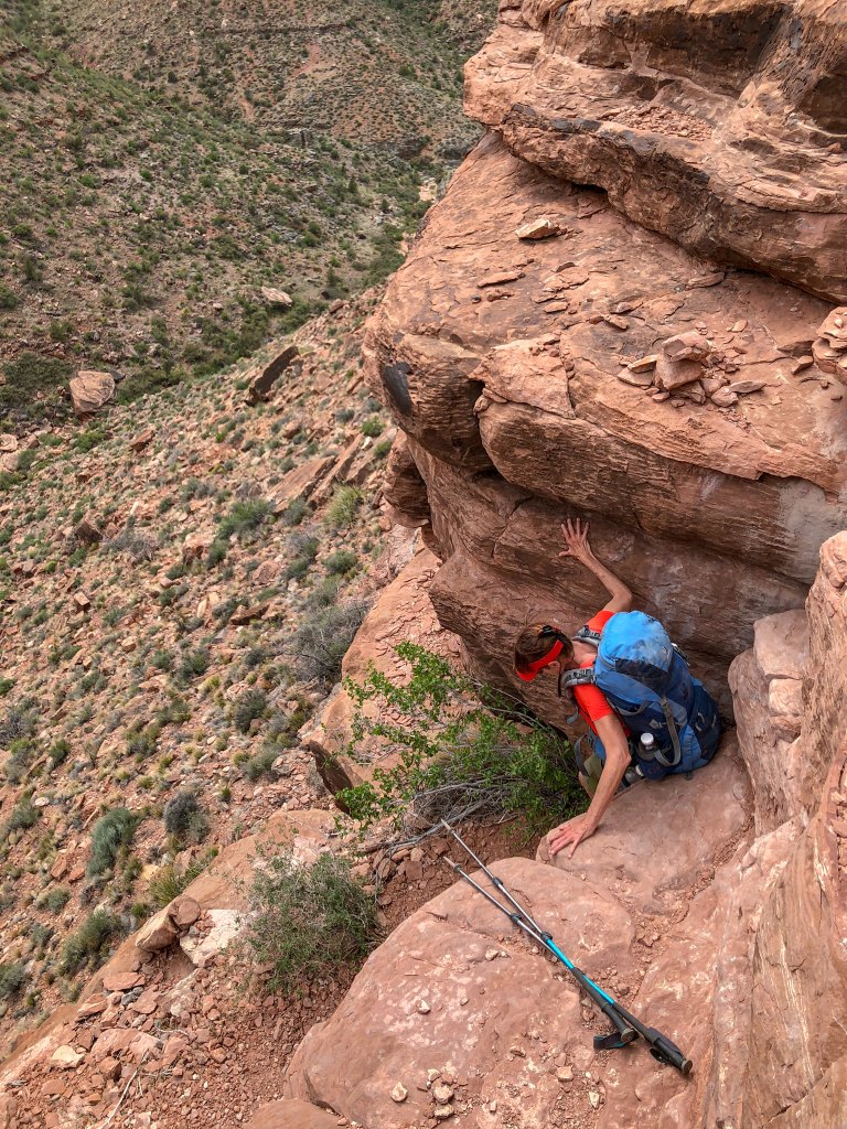
This route is hard on both clothing and packs.
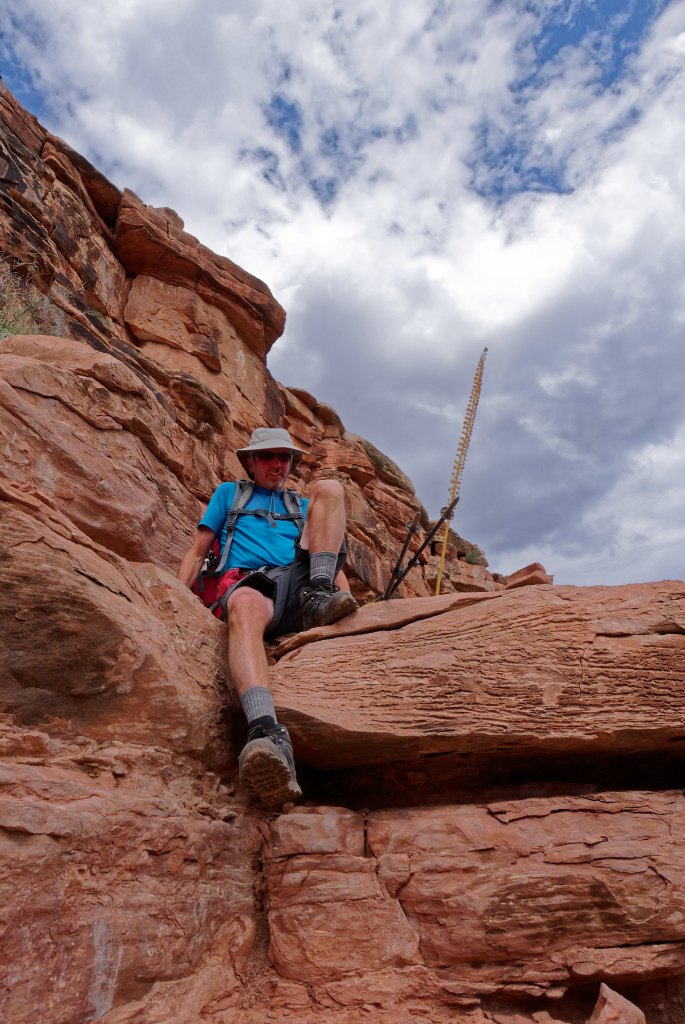
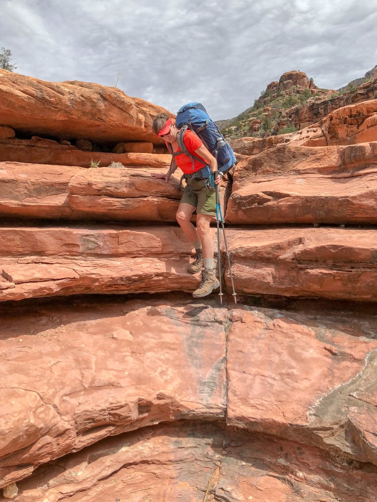
Once down to the canyon floor we began to encounter more obstacles. Dan was ahead of us so we didn’t get to see how he got down this one.
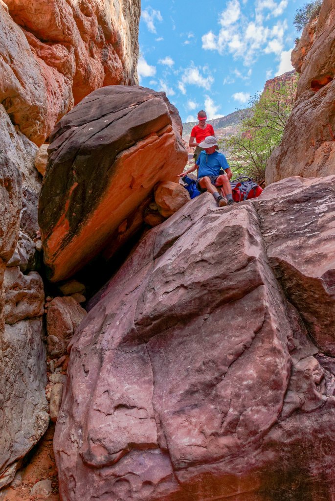
This became a common theme; …
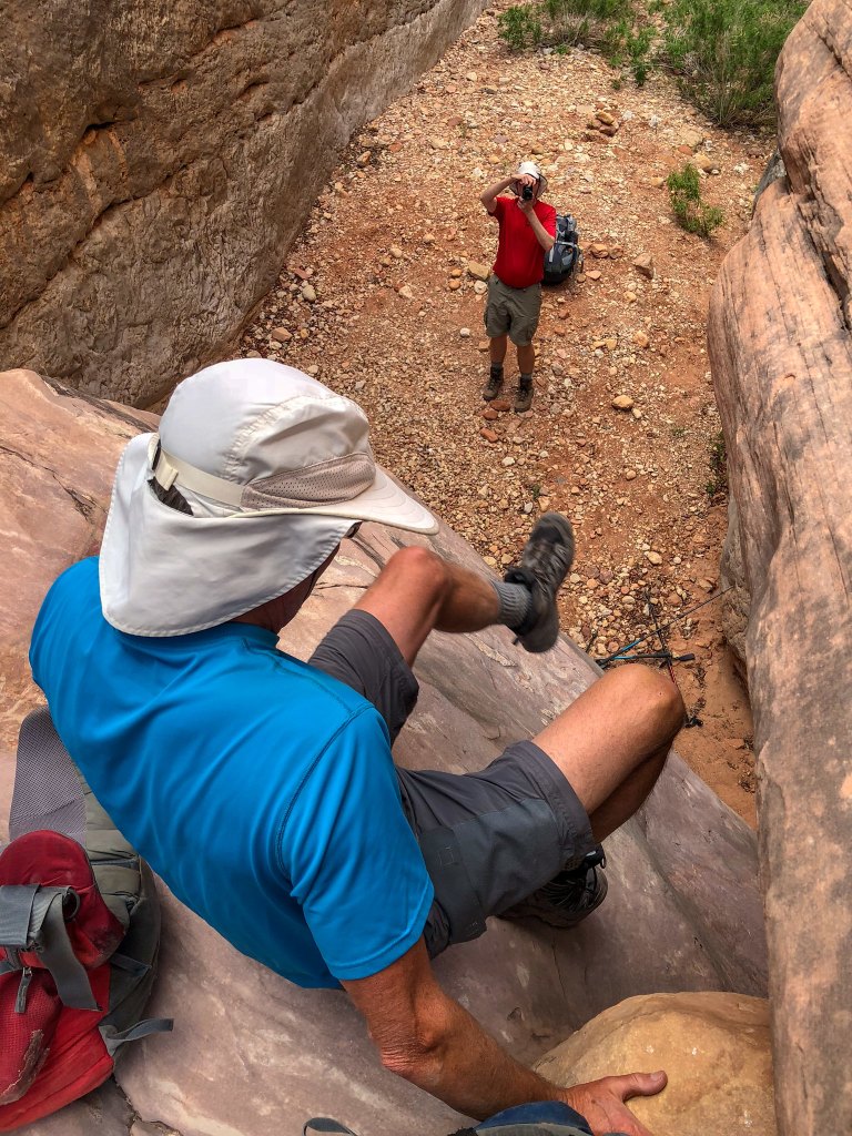
… photos of people taking photos of people getting up or down something.
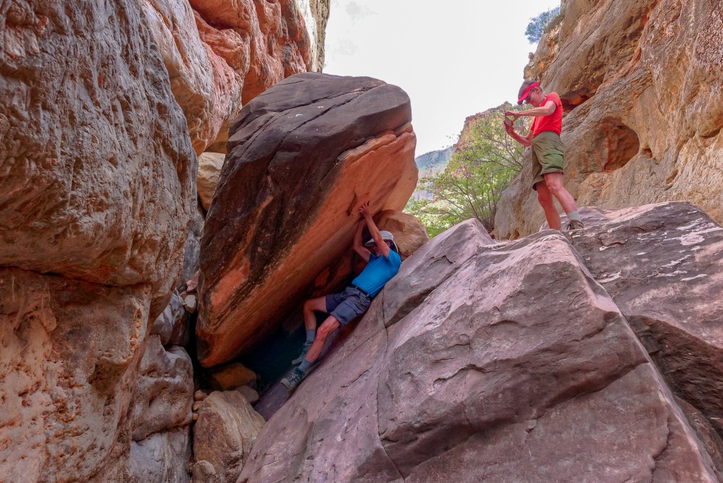
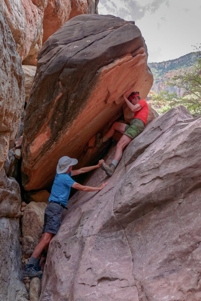
We don’t usually get photos of John helping me get up or down obstacles. I’m not sure if Dan taking these is a good thing or not.
As we continued down the canyon …
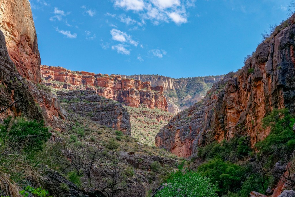
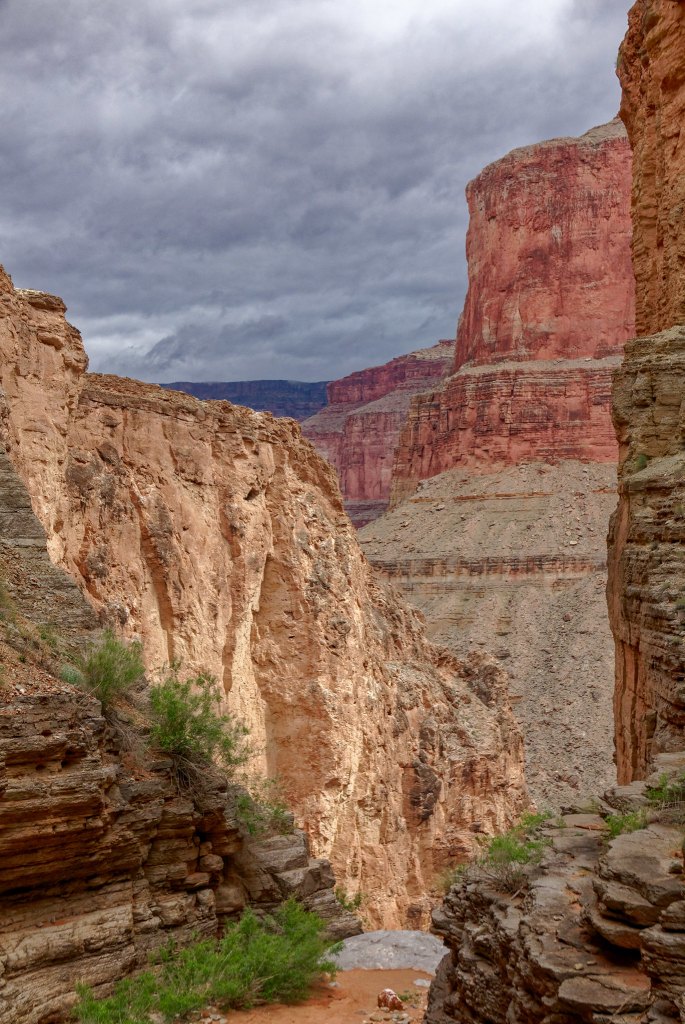
… it became deeper and narrower.
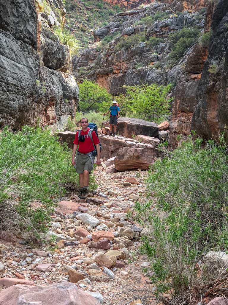
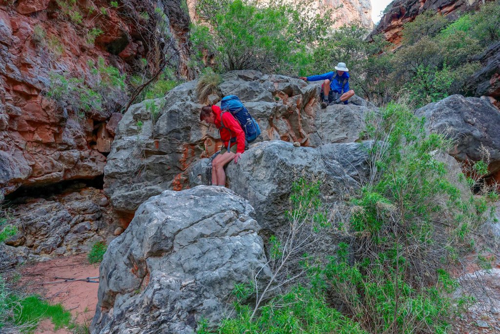
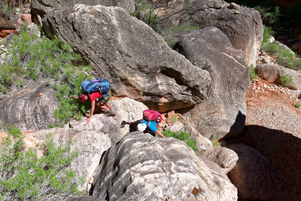
We encountered more obstacles, some requiring us to remove our packs and hand them down, …
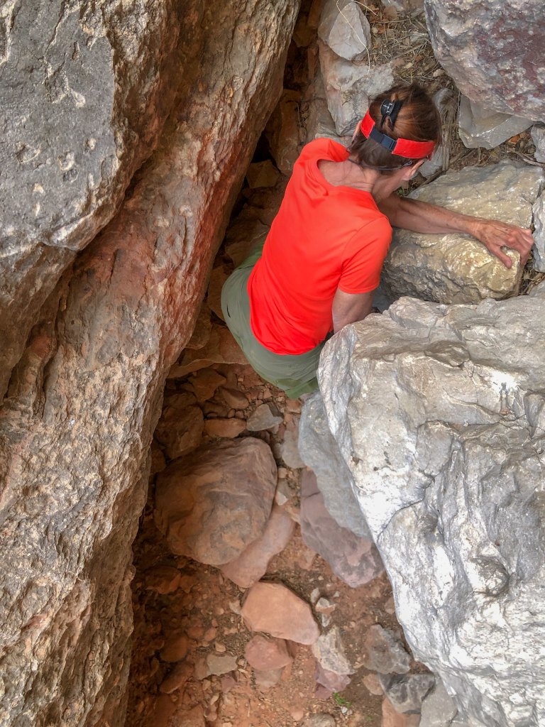
… and our pace slowed again.
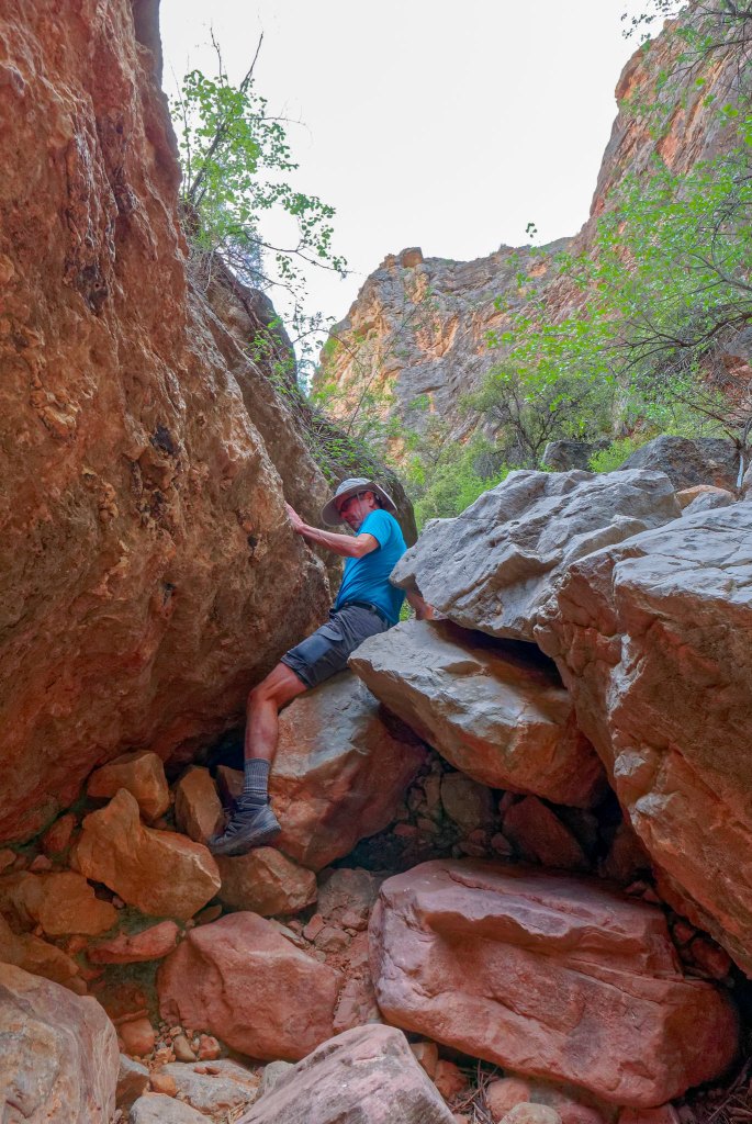
It was getting late in the day, and I began to wonder if we could even get as far as Royal Arch before dark. We are not averse to hiking after dark on a trail, but this was no trail. Another concern we had was whether there would be other people camping at Royal Arch. While we are not antisocial, we do prefer camping in solitude when backpacking but this was a popular destination. On our way down canyon we kept an eye out for alternative campsites but didn’t see any likely prospects. We hiked as fast as we could when the terrain allowed …
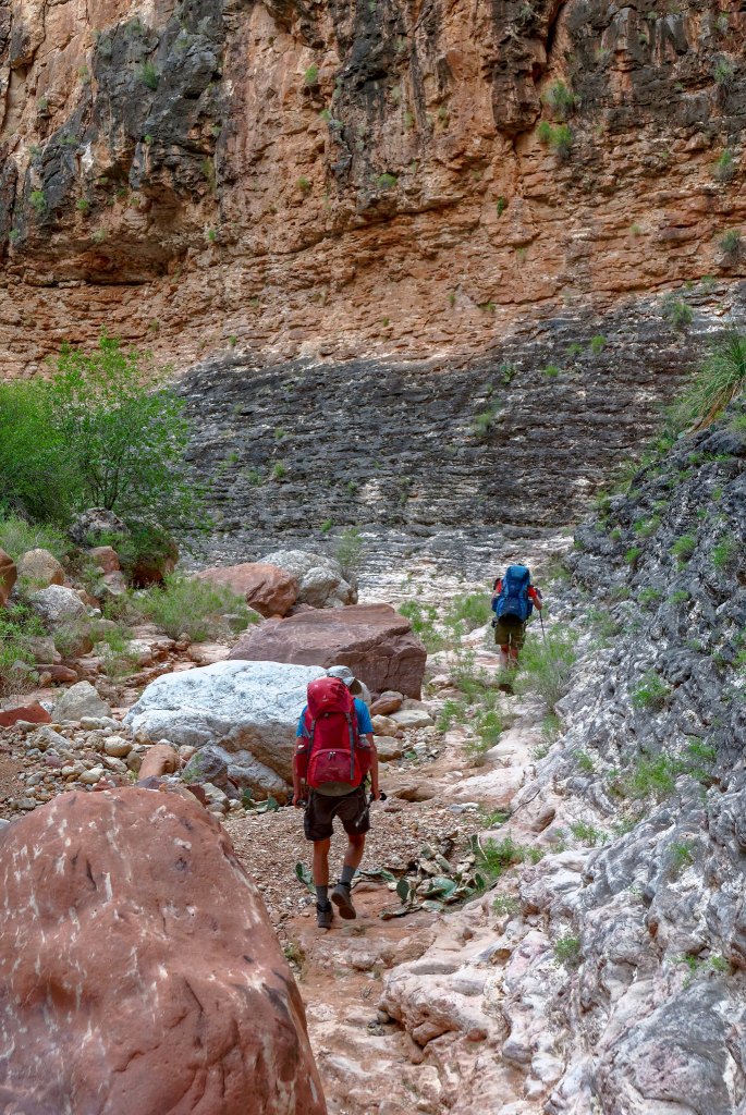
… but were forced to slow down when it didn’t. It was getting dark and I was just about ready to get out my headlamp when we rounded yet another bend in the narrow dark canyon …
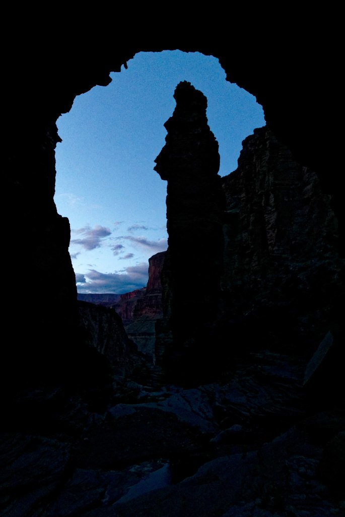
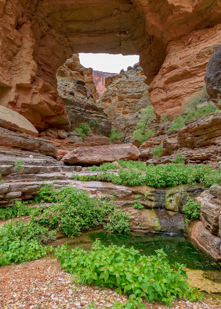
… and I saw a patch of the dusky sky through the opening of the arch. It was such a relief!
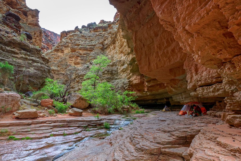
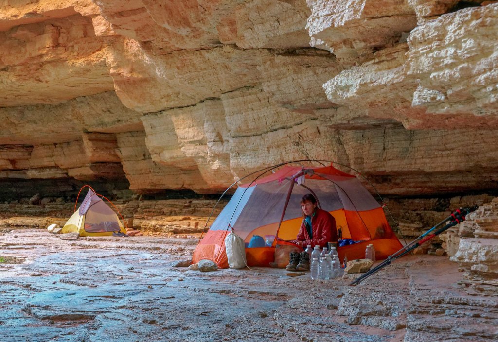
And luck was with us as there were no other people there. We set up our tents under the large overhang as there was rain in the forecast. Originally, we had planned to only spend one night at Royal Arch and continue to Toltec Beach the following day. The sky was clear during the night, but clouds moved in early in the morning. When we awoke to drizzle, with more rain possible later in the day, we decided to spend two nights here.
The drizzle stopped by midmorning, and I briefly thought we should pack up and move on. However, better sense prevailed. Not only would the boulders in the canyon we needed to climb up be wet and slippery, so would the 20-foot rock face we would be rappelling down.
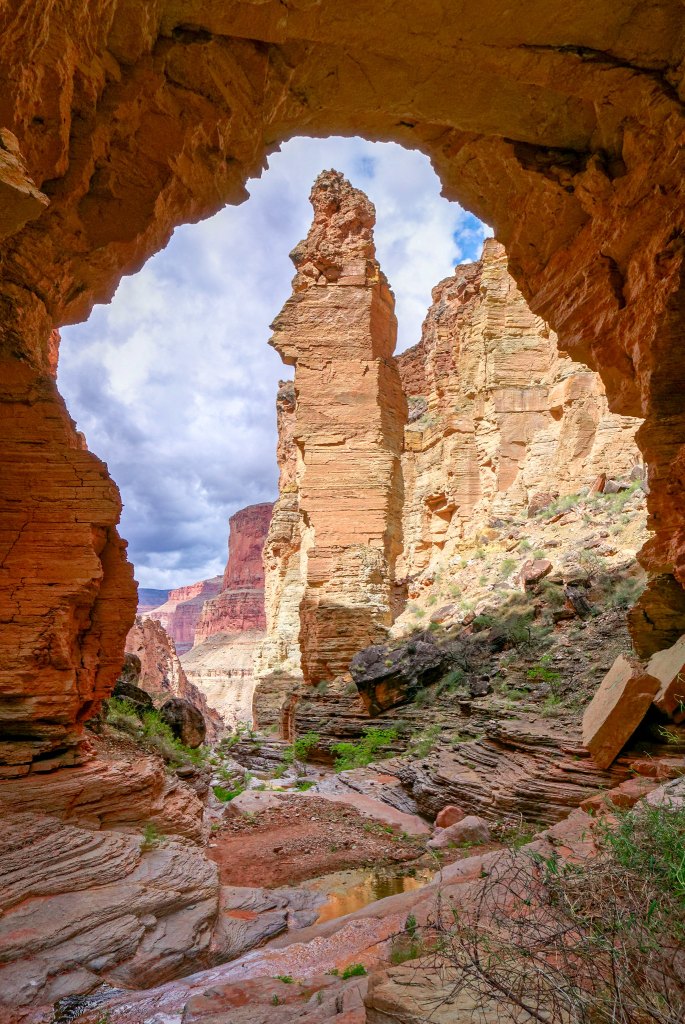
We had rarely camped in the same spot on multiple nights and when we did it was only when we had the opportunity to do some day hiking so spending an entire day in one spot was a new experience for us. When John and I were here before we only stopped briefly to eat lunch and for John to do some photography. However, on that trip we were soon joined by a group who quickly spread out and took up a great deal of “psychic space,” so we soon headed out again. Having this time here now was a real treat!
According to the forecast, there was the possibility of a thunderstorm that day and that looked like a definite possibility when thick, dark clouds moved in.
It rained quite hard for a while, but we could enjoy it from the comfort of the large area protected from the rain under the overhang and the arch.
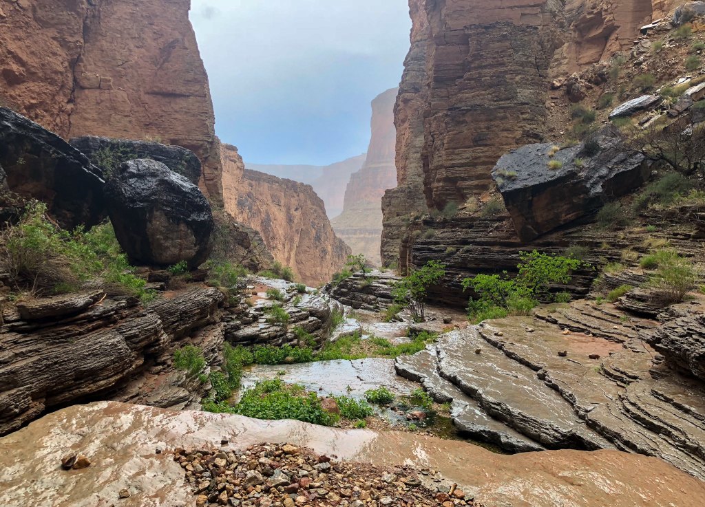
The temperature was quite chilly, so I spent much of the day in my sleeping bag drinking hot chocolate. Unfortunately, we had all left our long underwear bottoms at home not imagining we would need them. Fortunately, we had brought our warmer sleeping bags. We all even took naps that day, a backpacking first for us.
The thunderstorm eventually moved on, and I spent my waking hours listening to the music of the creek and the songs of canyon wrens (with the occasional frog) …
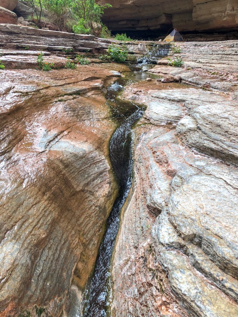
… while John and Dan spent their time taking copious photos. Note the trekking pole tripod.
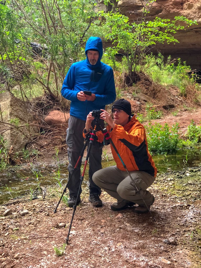
Dan also did some exploring above the arch …
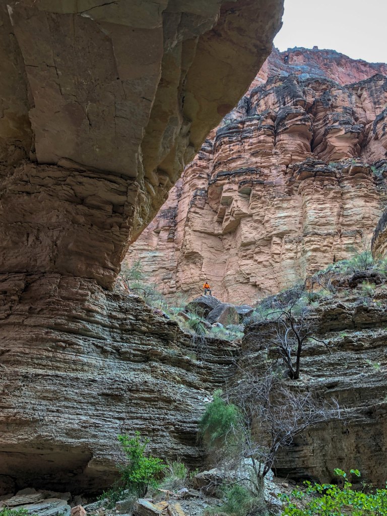
… and saw a rough track leading higher above the arch but chose not to follow it.
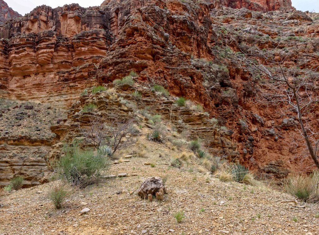
Later in the afternoon the sky cleared and the wet rock glistened.
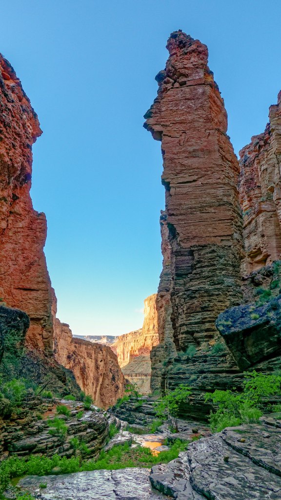
John and Dan took more photos looking up at the arch …
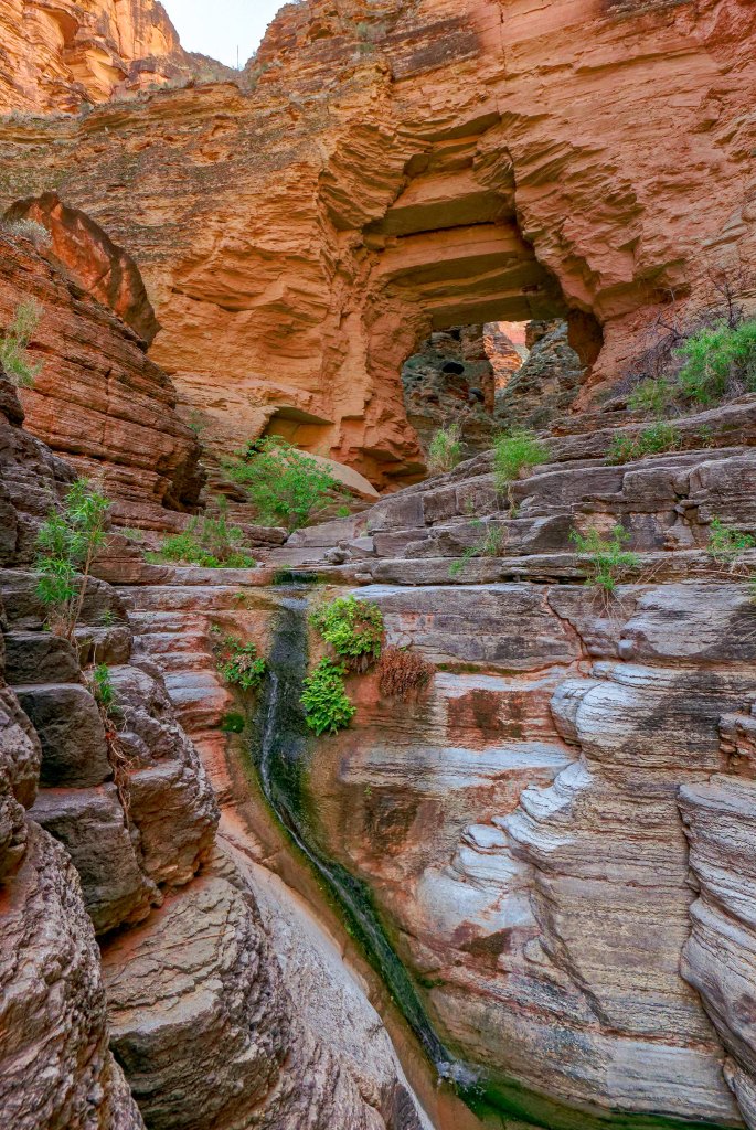
… as well as down the canyon below.
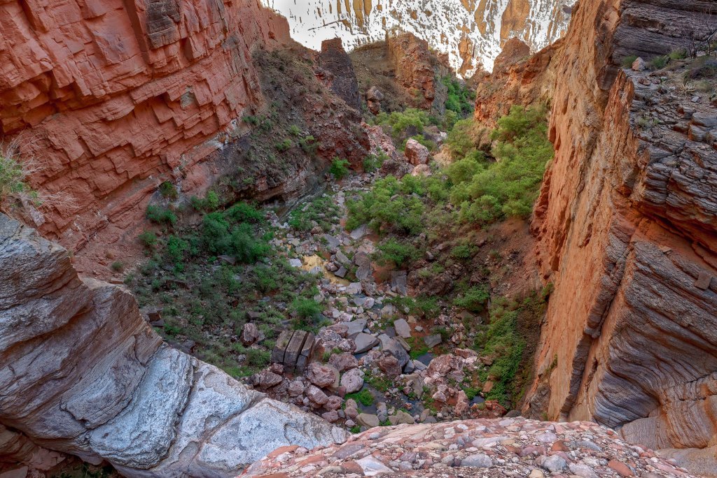
The next morning, we again intended to get an early start but fell short of our goal. What became apparent was that John and I have a backpacking style that is very different from Dan’s. He is a much faster hiker than we are now so he can afford to get a later start. We, however, need more time hiking to cover the same distance. We need an early start. What we have done on subsequent trips with him is John and I leave camp much earlier than he does. He then catches up (and passes us) later. However, on this day we needed to stick together to be at the rappel together. It was nearly 9:00 a.m. before we got moving.
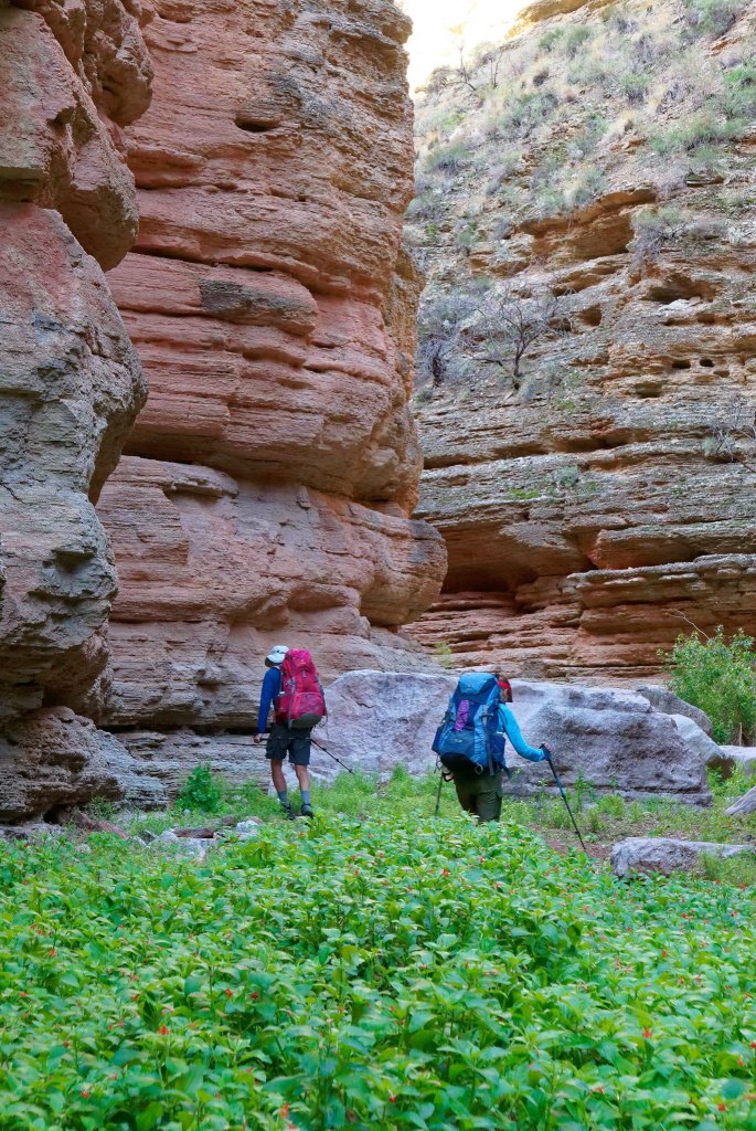
We made our way back up the canyon …
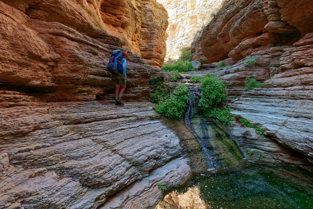
… and were grateful for the now-dry rock.
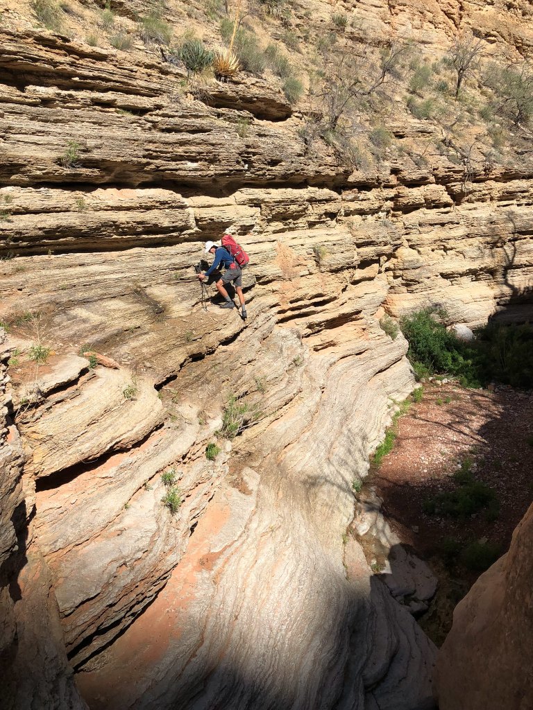
It made it so much easier to negotiate obstacles.
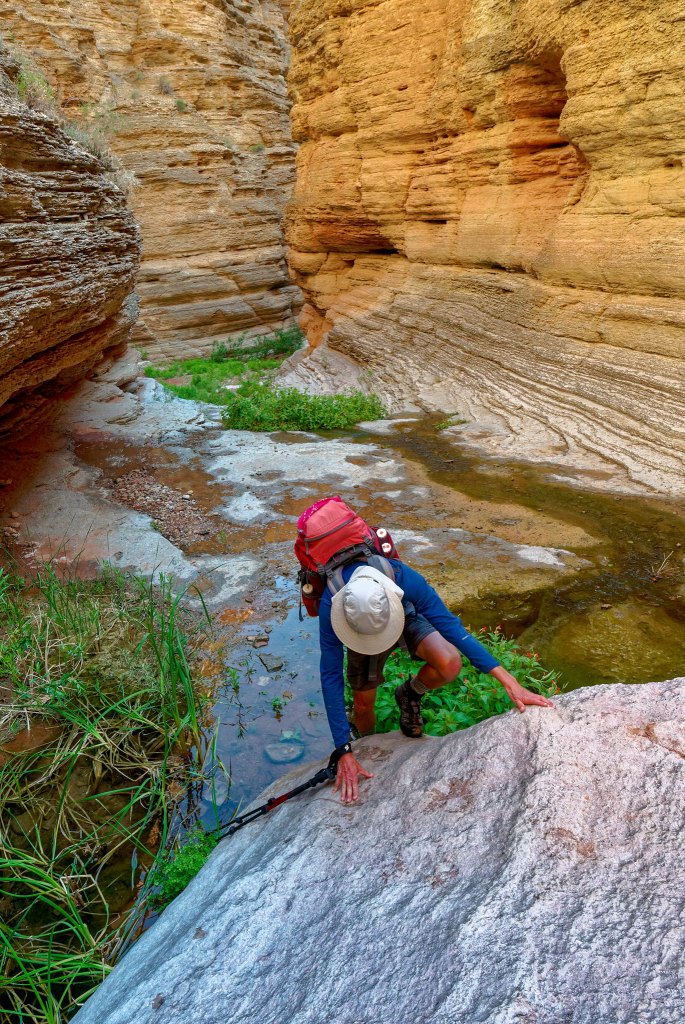
Something I intended to do this time was get photos that accurately illustrate the type of obstacles backpackers encounter on this route.
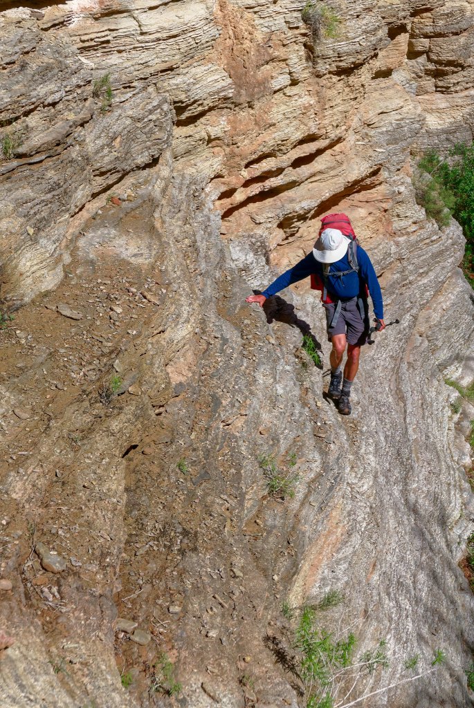
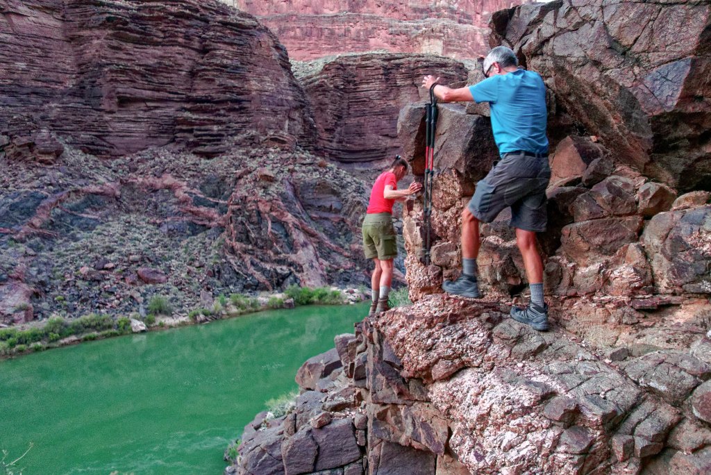
There is one spot where you must slowly work your way around a rock shelf that juts out. It feels like it wants to push you off and it obscures your view of your feet on the uneven rock below, so it can be disconcerting.
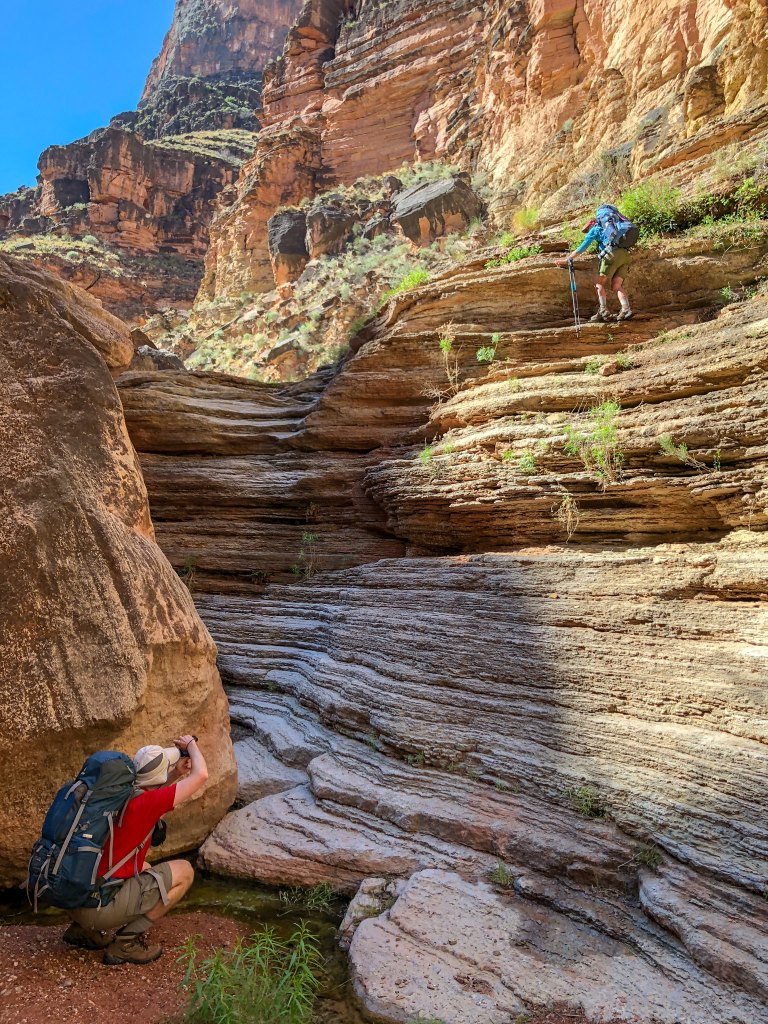
Unfortunately, I don’t think these photos completely capture it. John doesn’t normally have issues with obstacles or exposure, but even he moved gingerly along this shelf.
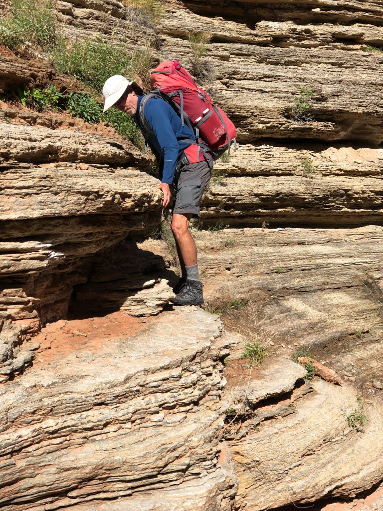
It made me quite nervous the first time I did it five years earlier, but I had less trouble with it this time.
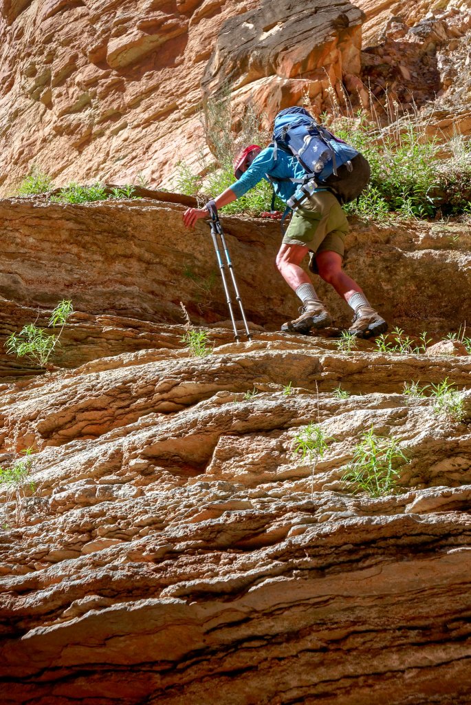
There were more ledges to hike up, but these were straightforward.
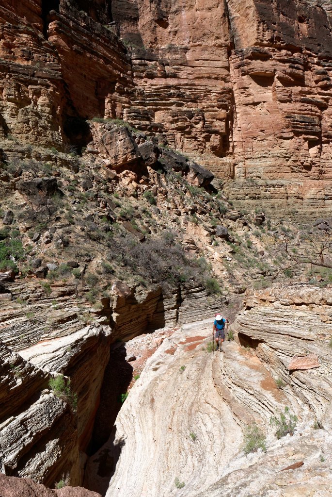
But other obstacles were less so and again, I was grateful for the dry rock.
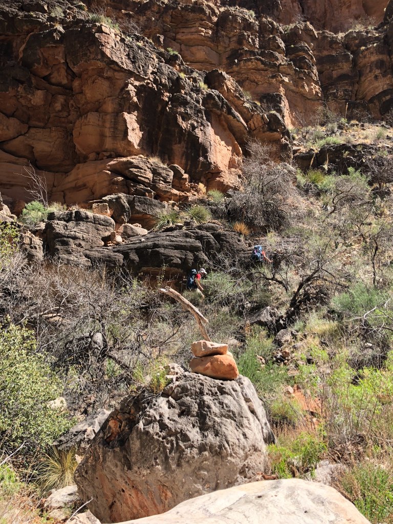
We continued up canyon until we reached the cairn marking the junction with the trail that would take us out of the canyon and ultimately to Toltec Beach, our destination for the day.
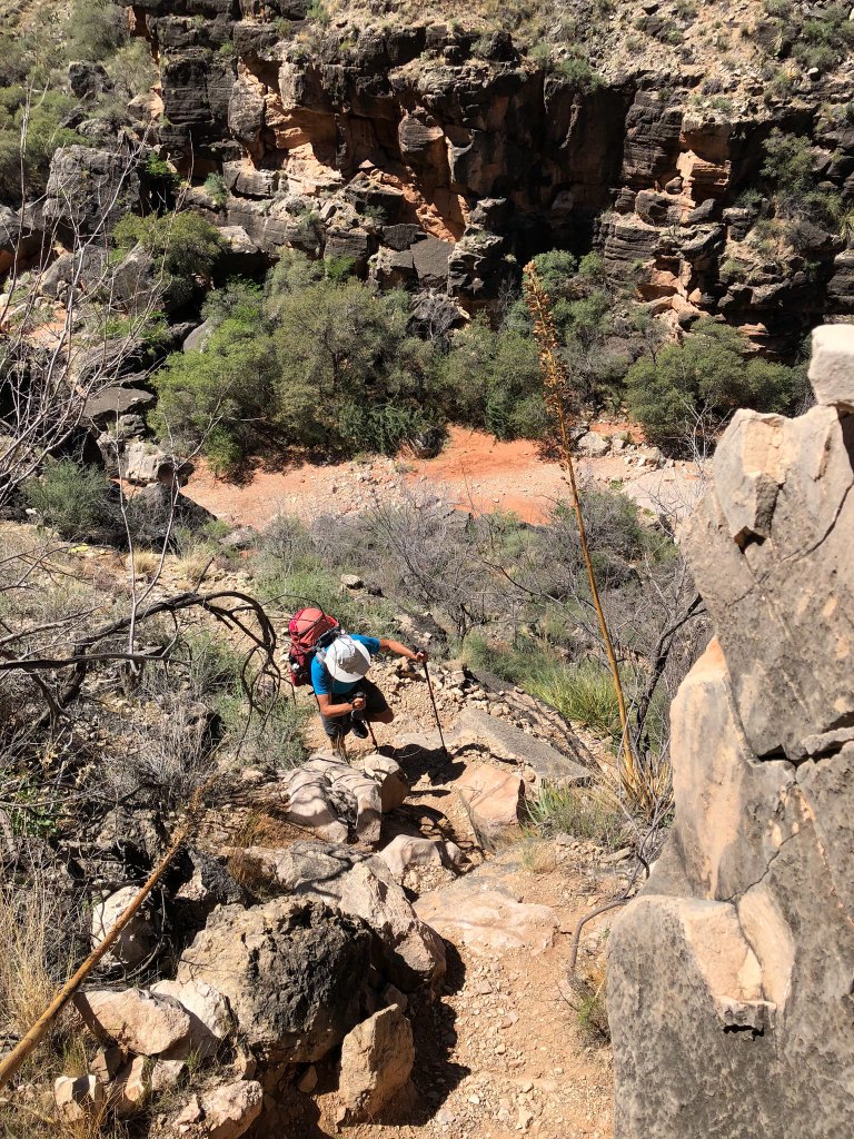
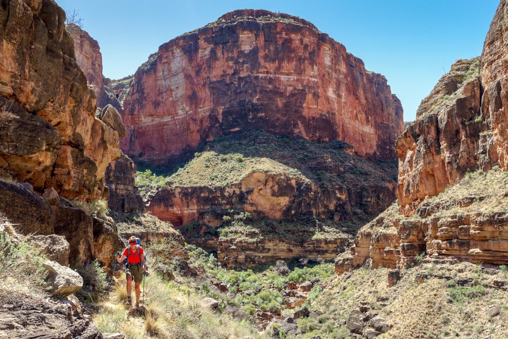
It was a treat to leave the boulders behind and be back on an actual trail.
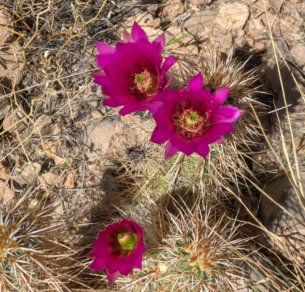
It was still early in the season but some of the cacti were blooming.
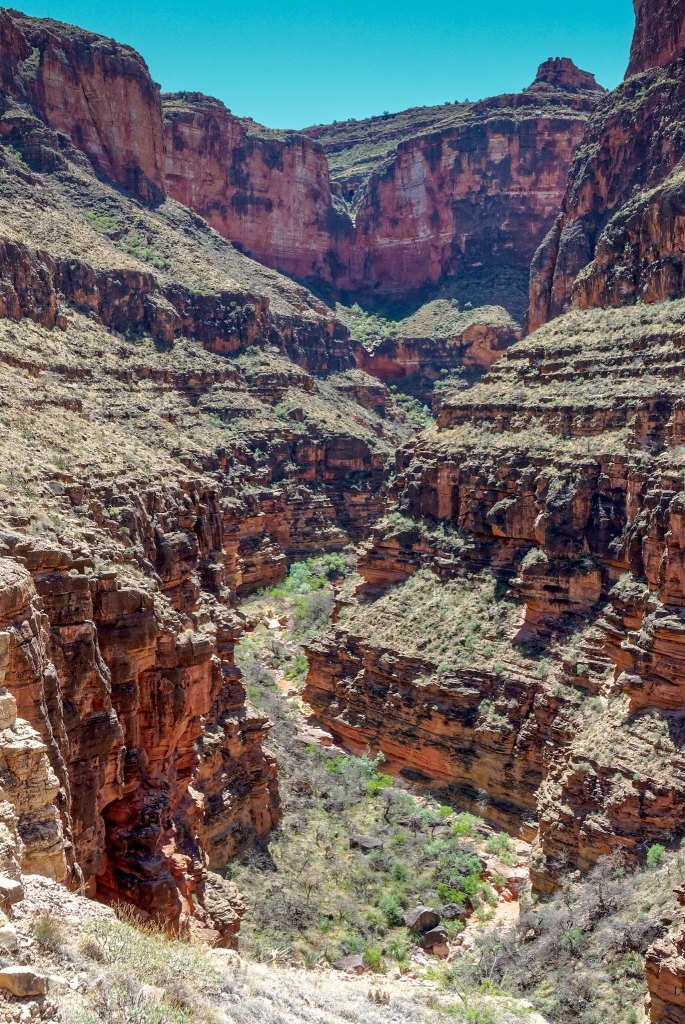
As we got higher, we could look back down into Royal Arch Canyon …
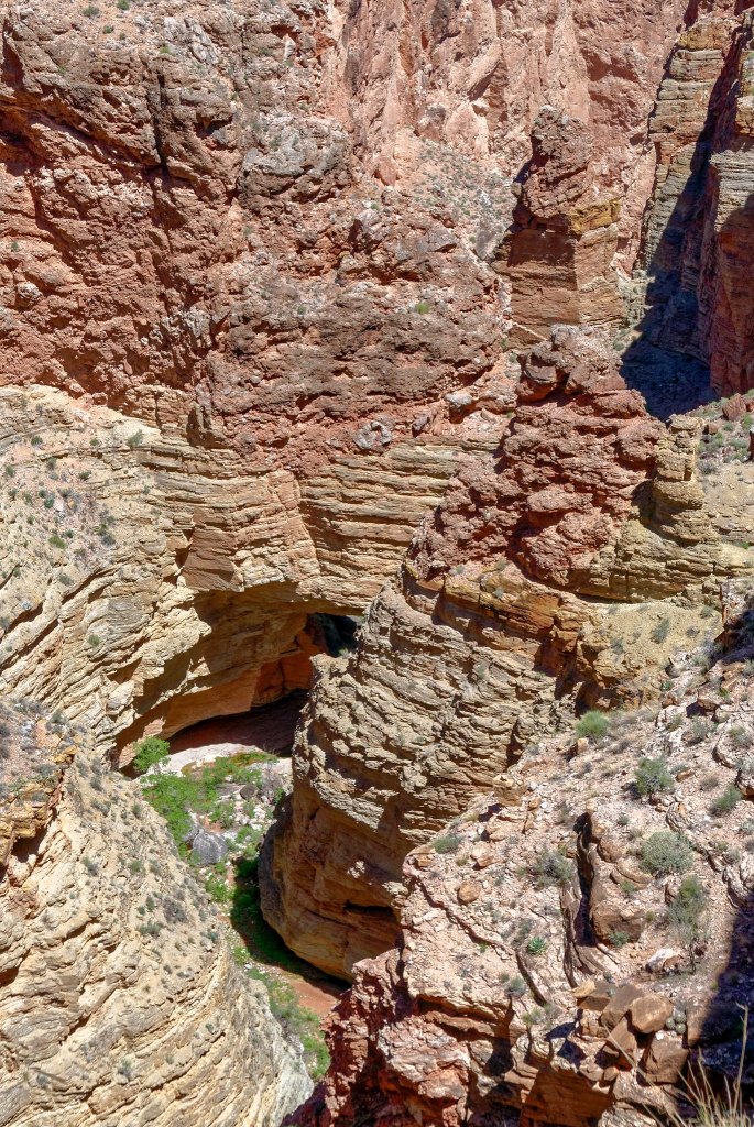
… and could see where we had camped under the overhang.
We also got views of the monolith and the arch …
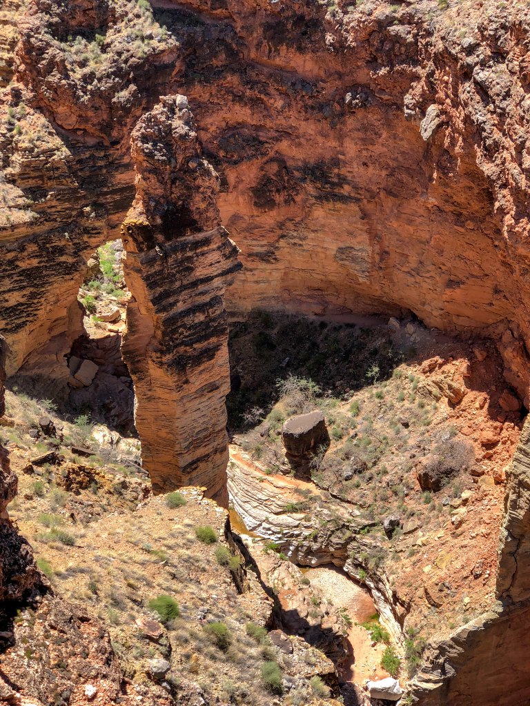
… as well as the area above the arch.
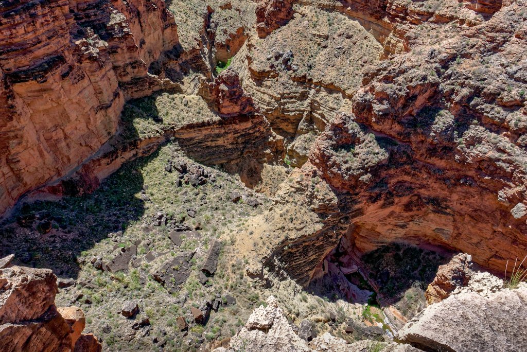
As we continued the views became expansive …
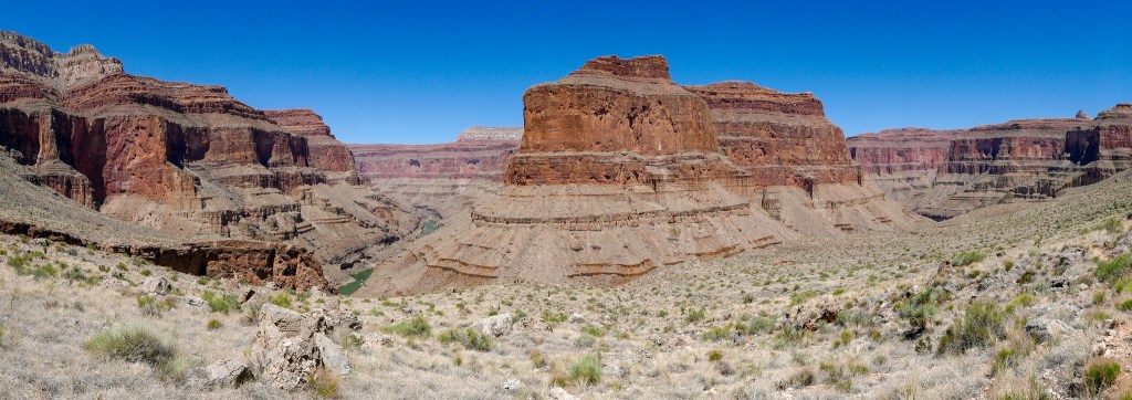
… including the Colorado River …
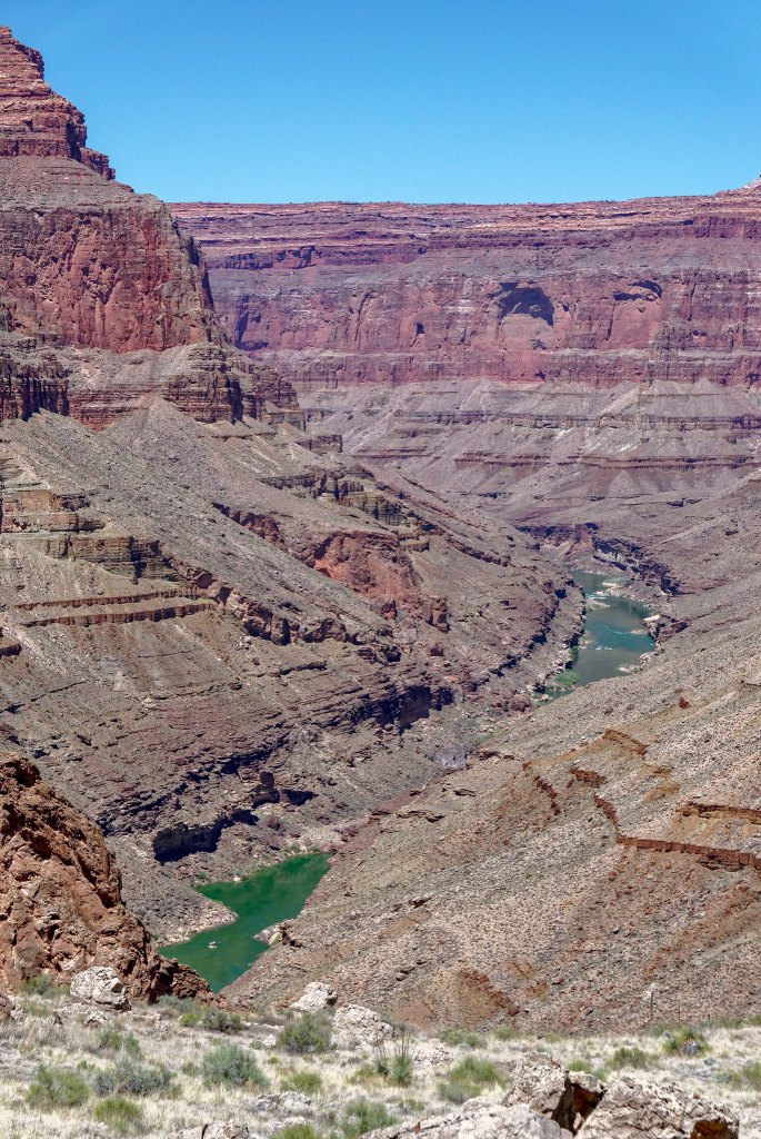
… and Toltec Beach where we would camp that night.
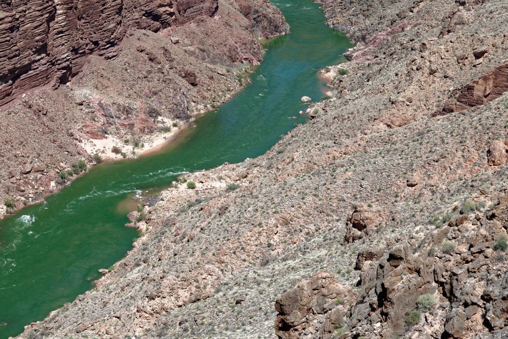
It seemed so close but between us and Toltec …
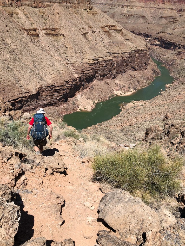
… was a sizable rock face that involves the 20-foot rappel followed by quite a bit of down climbing.
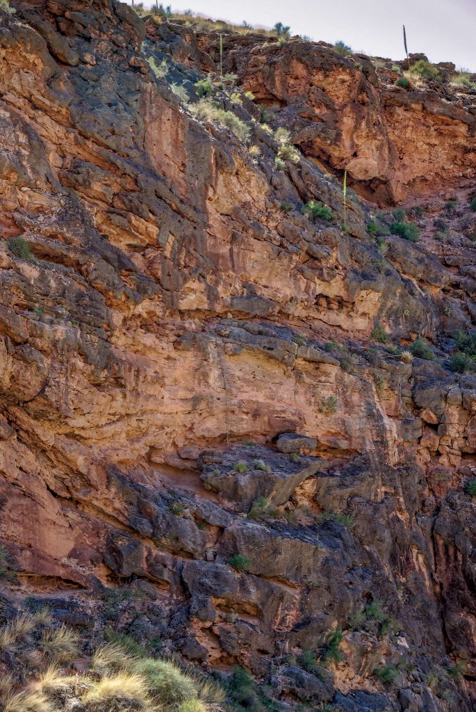
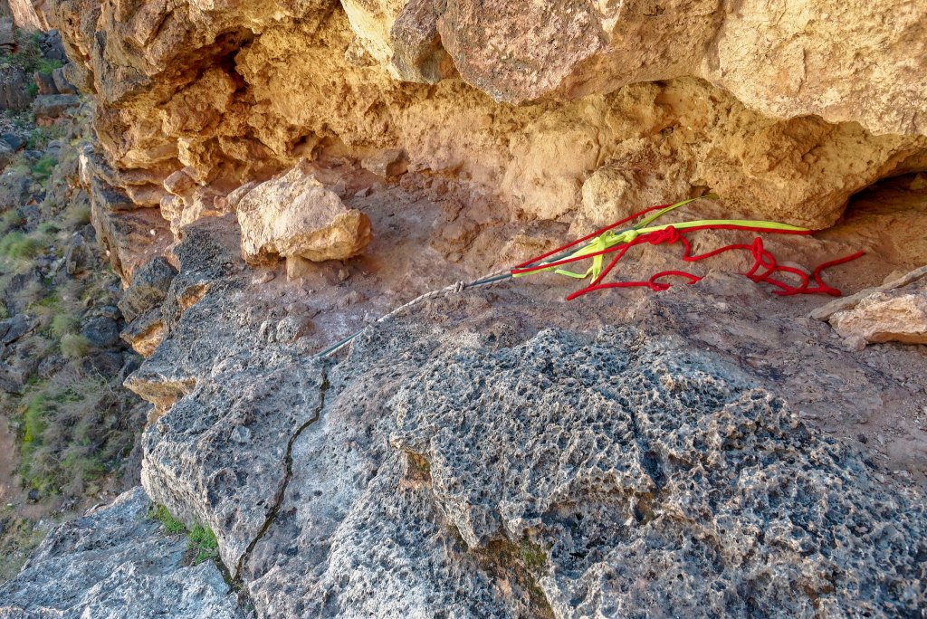
It is not uncommon for there to be anchors and ropes left behind at the top of the rappel by previous backpackers. It can become quite a hodgepodge of webbing and ropes of undetermined age or integrity, and the Park Service periodically removes it. Just prior to this trip John had talked to a backcountry ranger who had recently done the Royal Arch Loop. Her plan had been to “clean it up” but she said it wasn’t bad and she left the anchors and two ropes. However, as there was no guarantee there would be an anchor there that we’d be willing to stake our lives on, we came prepared with webbing, rope and a harness.
This was only the second time I had rappelled, the first being when we were here five years earlier.
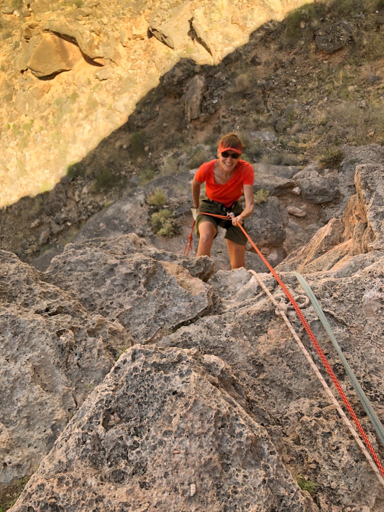
This was the first time Dan had rappelled. However, he had tried out the harness and practiced a bit off the back of our motorhome a few days earlier. This is how I learned, but in hindsight we should have found someplace he could practice under more realistic conditions. But he did fine despite his less-than-optimal training. That is, until he was momentarily startled when John said, “Wait a sec!” because he thought it indicated a problem. But John only wanted him to stop, look up and smile for a photo.
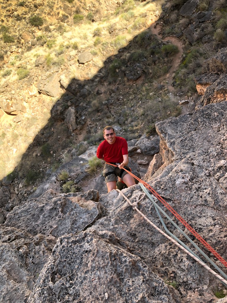
John came down last so a “butt shot” was the best we could get of him.
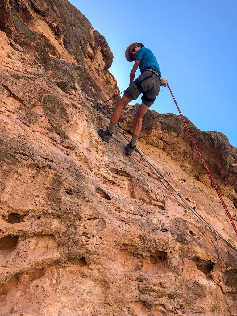
The rappel only gets you down a small portion of the rock face. The rest must be down climbed and it takes time.
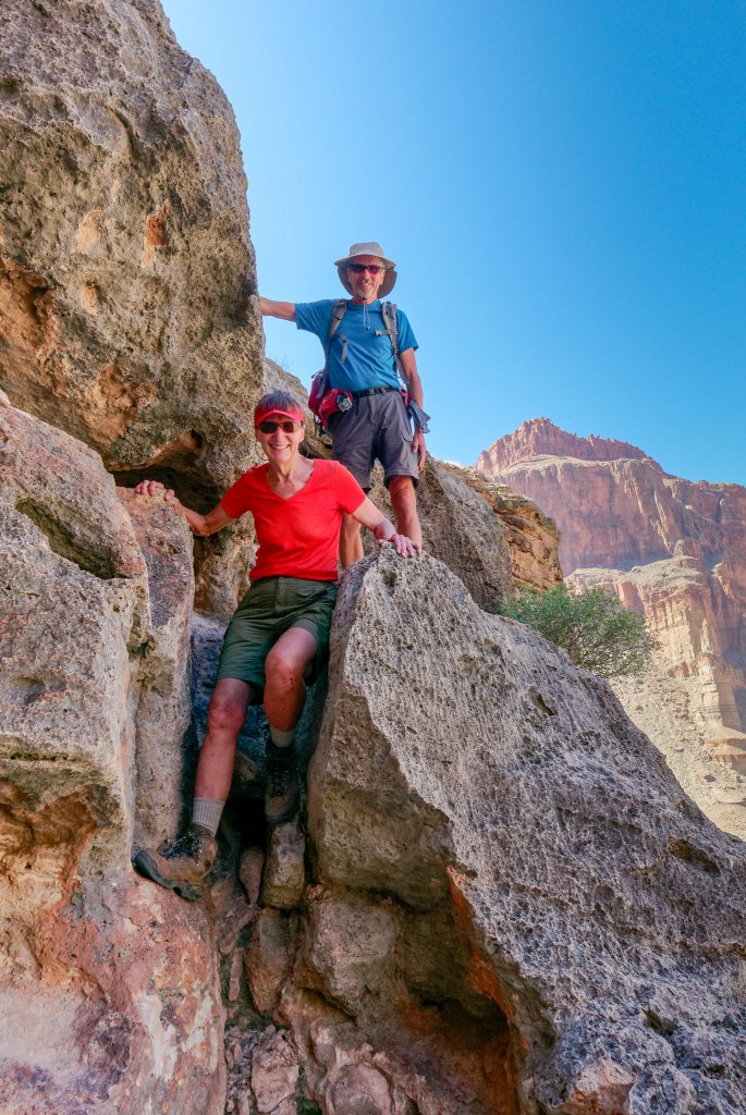
Once down the rock face, we were back on a trail …
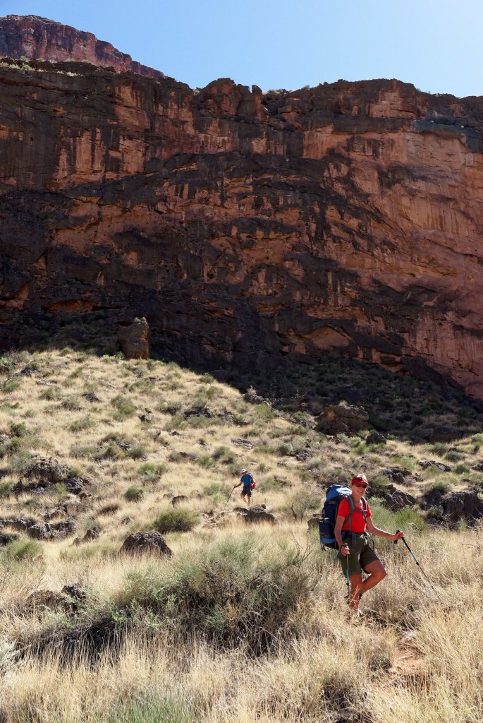
… that took us down to the river and Toltec Beach.
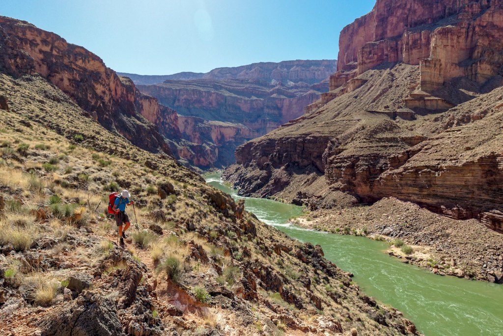
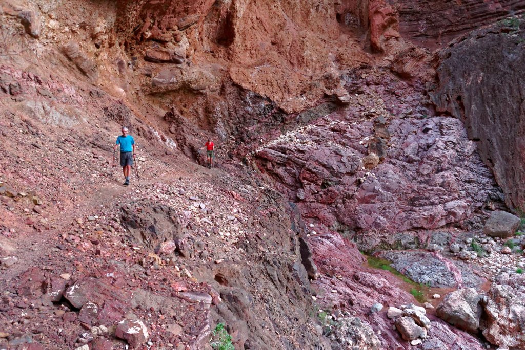
It was after 4:00 p.m. when we reached Toltec Beach. When we first planned this trip, we thought we would spend two nights at Toltec, allowing plenty of time to visit and photograph Elves Chasm. However, as we had spent two nights at Royal Arch, we no longer had that option. If we were going to visit Elves Chasm it had to be then, so we quickly stashed most of our gear and headed down canyon on the surprisingly well-marked trail.
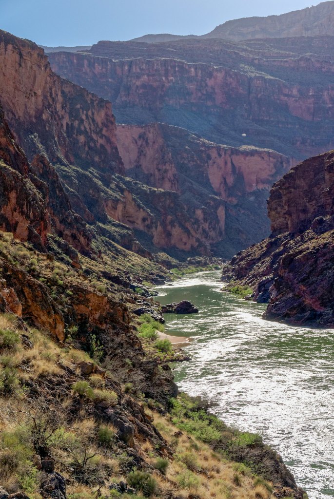
When we did this trip five years earlier, we encountered many sketchy “social trails” on the way downriver to Elves Chasm, but it now appears an effort has been made to create one “official” route. It took us higher up the side of the canyon than we remembered going in the past but we were in a hurry and in no position to question it. At one point, we accidentally got off the main track which probably cost us some time before we found it again.
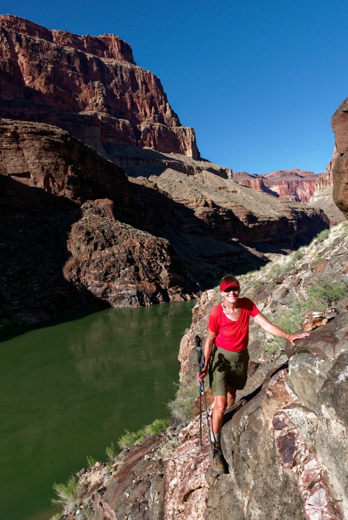
Once at the creek we quickly made our way up the canyon …
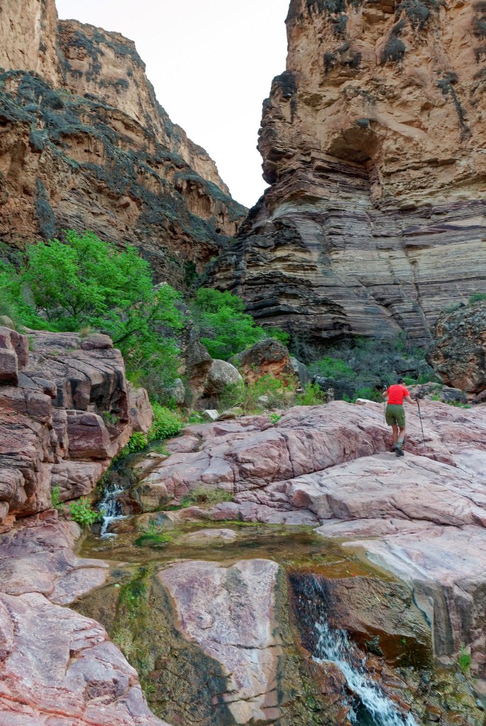
… thoroughly enjoying the beautiful creek …
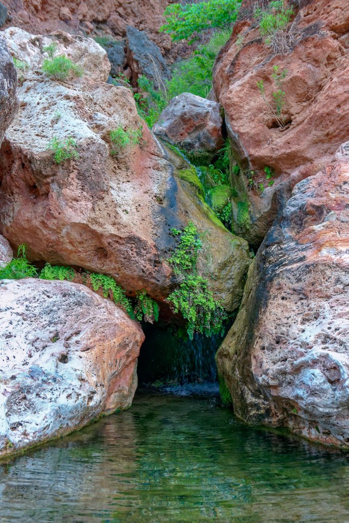
… that gave us hints of what was still ahead.
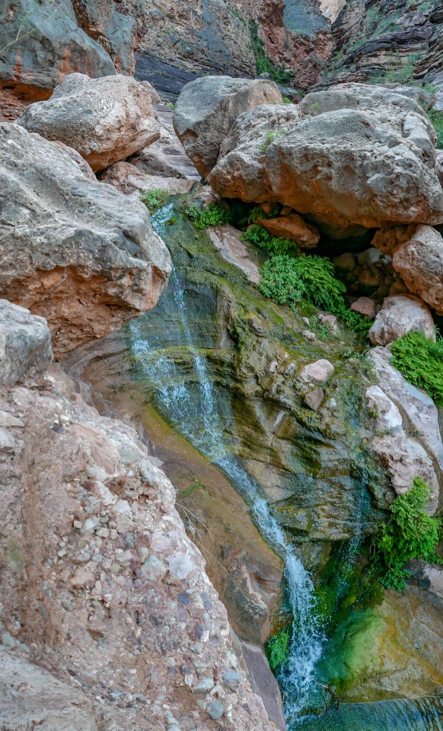
The hidden oasis of Elves Chasm!
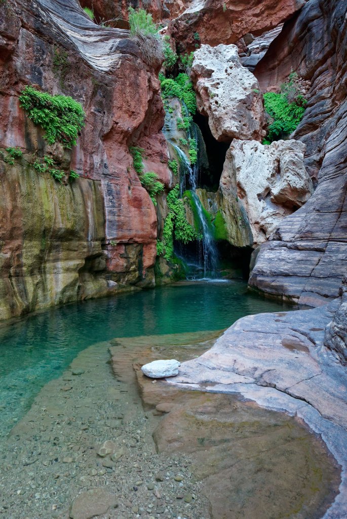
We so wanted Dan to see this lovely area and were happy to get there while there was still enough daylight to enjoy it (even if there wasn’t enough time to go swimming in the unbelievably cold water). One advantage of being there so late in the day was that all the rafters had already come and gone so we got to have this amazing place all to ourselves.
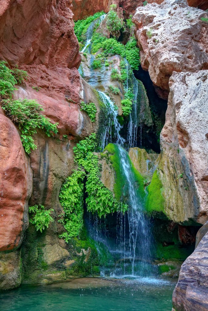
But we couldn’t linger, and before long we headed back. It had taken us about two hours to get there …
… and we wanted to get as far back as we could before it got dark. Dan has great night vision and was able to get all the way back to Toltec by moonlight but John and I both had to get out our headlamps.
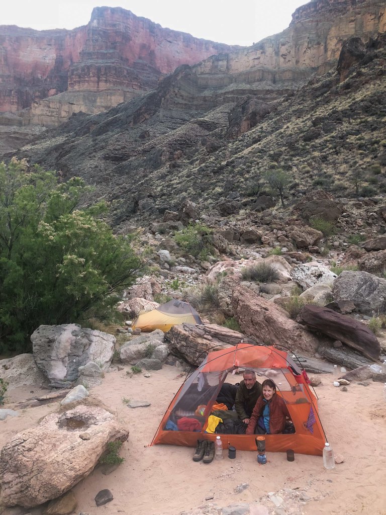
Once back at Toltec we set up camp, cooked supper, and went to bed. We were up early and managed to get a reasonably early start (all things considered).
The trail was initially very easy …
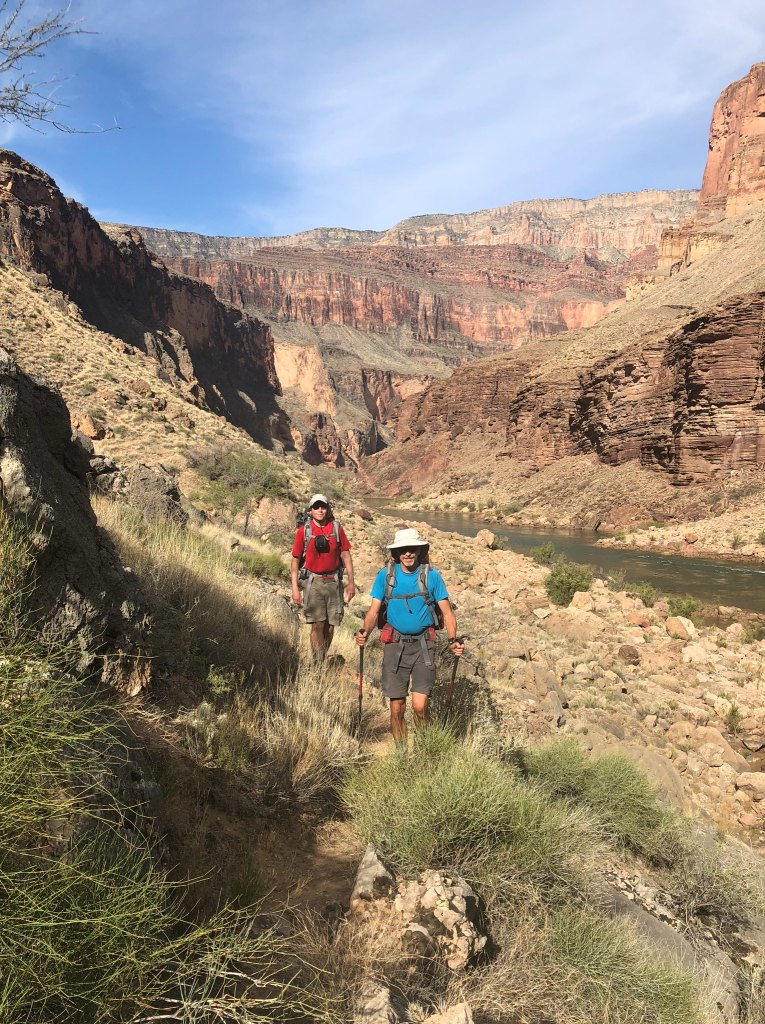
… as it followed the river up canyon.
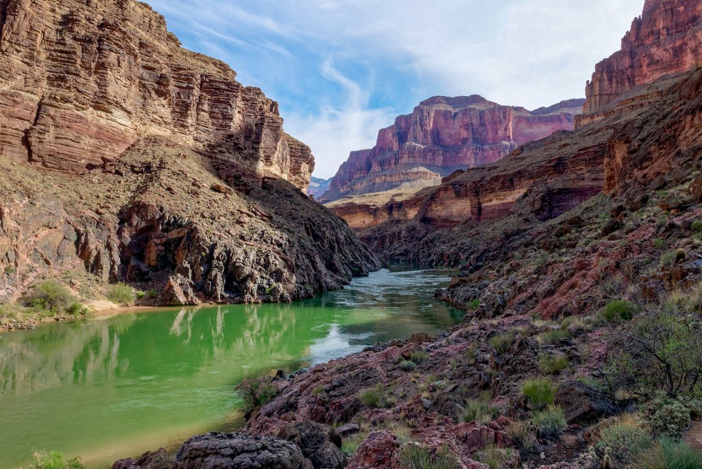
However, it starts heading up and away from the river as it works its way through some rough, sometimes sharp, volcanic rock. It was slow going and some of us (namely me) lost some blood along the way.
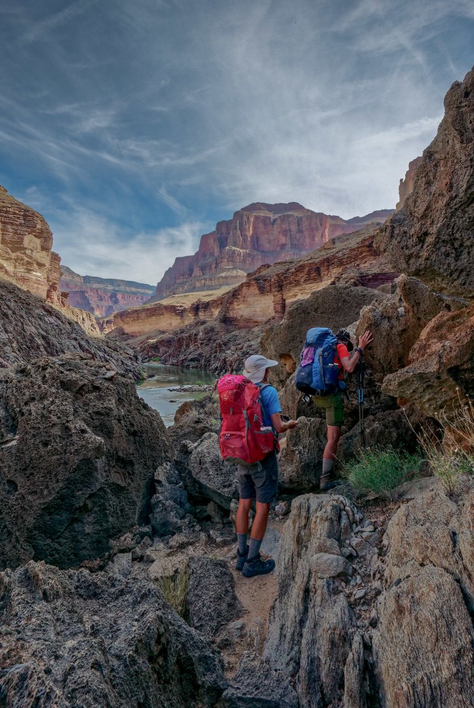
We then encountered an unnamed side canyon. When John and I did this trip before it was late in the day and we breezed through it without giving it a second glance.
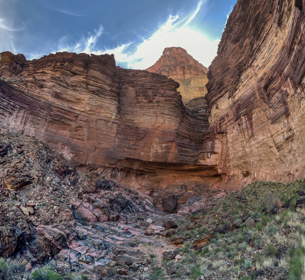
However, this time we were all struck by the unique beauty of the rock; the pink granite contrasting with the black.
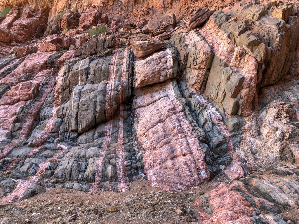
We don’t often get such a close-up view of the Vishnu Schist, a rock layer buried deep within the canyon.
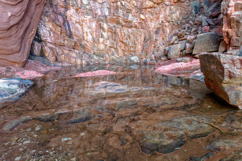
In addition to the granite, we could see quartz …
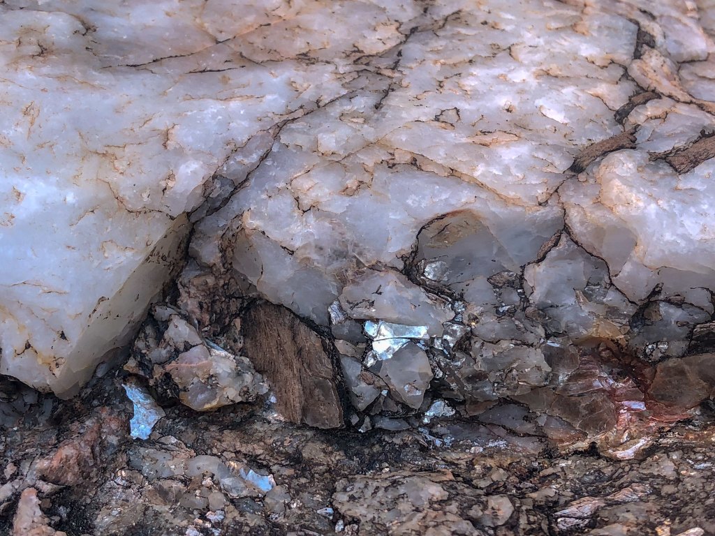
… and mica sparkling in the sunlight.
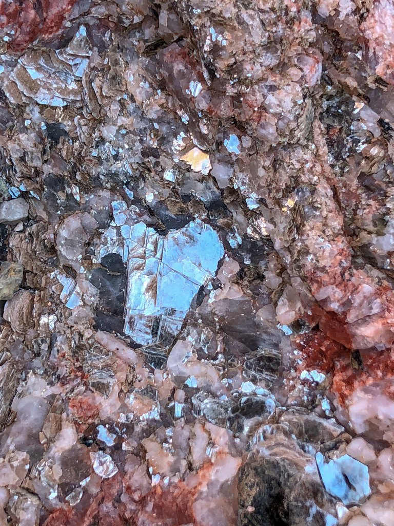
It got quite warm and the sun was hot, but this canyon was cool and shady so it was too easy for us to stop. Dan soon became engrossed in photography …
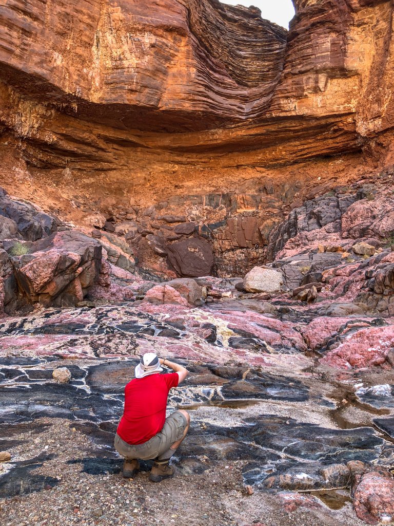
… quickly followed by John. There was more here than initially met the eye …
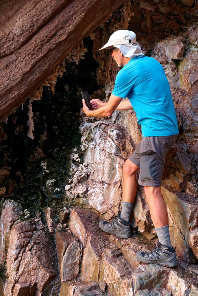
… and closer examination revealed delicate mineral formations …
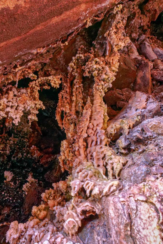
… not often seen outside of caves. The only other place in Grand Canyon where we have seen formations like these was in Hermit Canyon (photo).
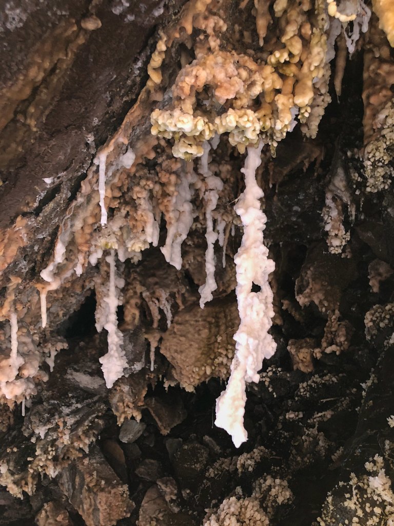
But we had miles to go, so we finally pulled ourselves away from such an intriguing and inviting place and got back on the trail under the hot sun.
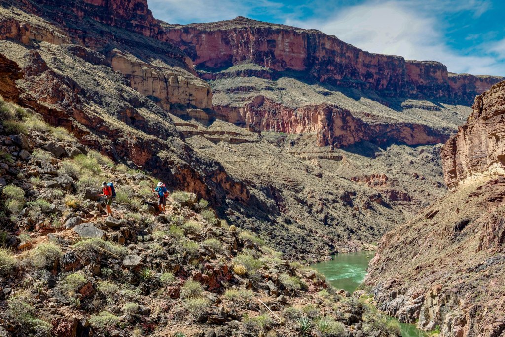
We then made our way up and out of Garnet Canyon to where the Tonto Trail begins.
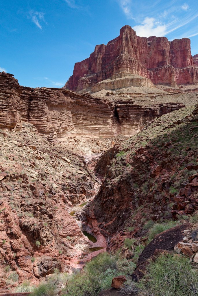
But first there were a few obstacles to negotiate.
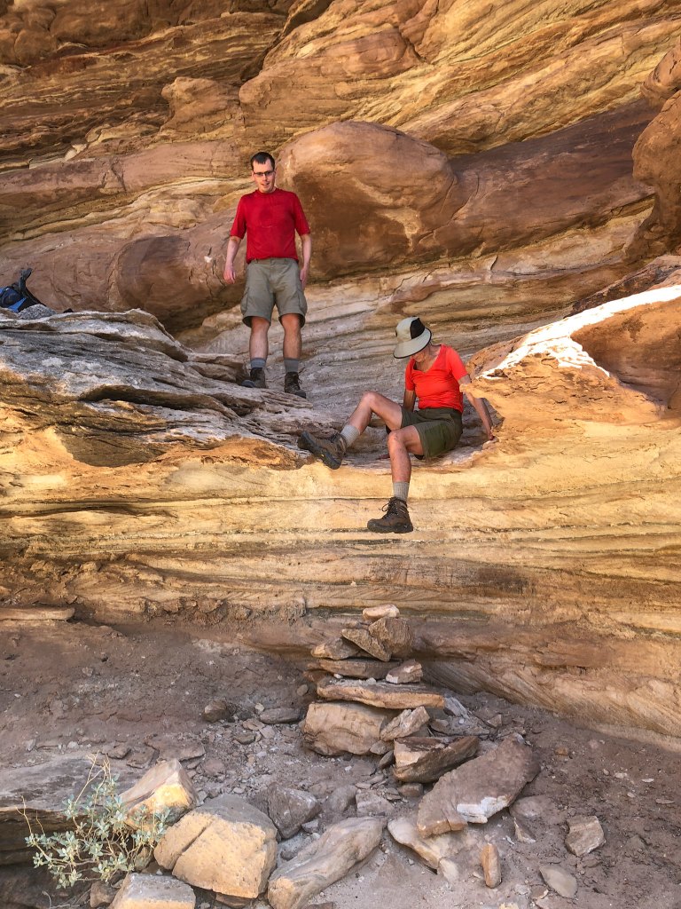
What is a bit exasperating is that I have since learned there is a route that is much more gradual and bypasses this series of ledges and pour-offs. Shortly before we started climbing up all this, I do remember seeing a cairn leading off to the right, but John said no, that wasn’t the way we had gone before. So we headed up these ledges. Routes like this are no problem for younger, stronger backpackers such as Dan. I don’t usually mind hiking terrain such as this if it is within my physical capability. I even enjoy scrambling over rocks to a certain degree. But I sometimes wish there could be a universally known way to distinguish cairns marking more gradual routes suitable for senior citizens so we could decide how much abuse we are willing to subject our aging bodies to.
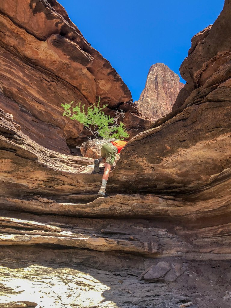
We continued working our way up to the Tonto Platform and what I promised Dan would be fast, easy hiking.
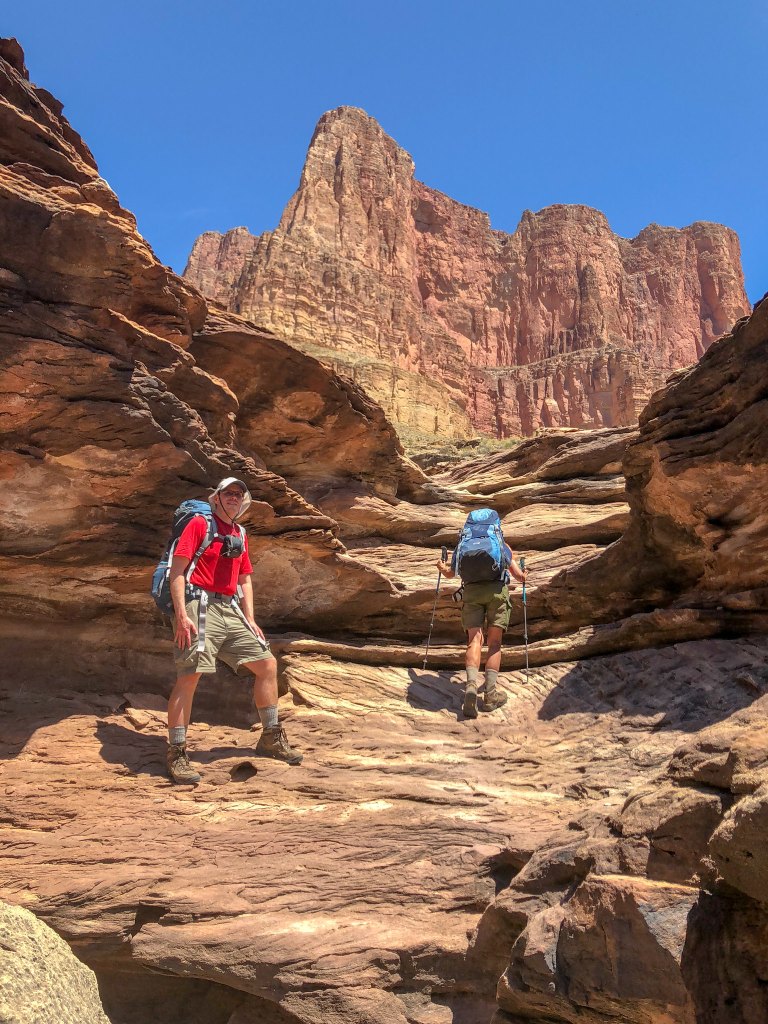
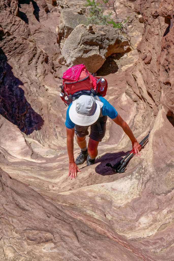
But first we had to get up there.
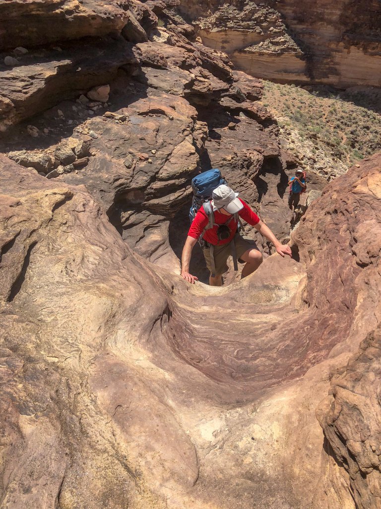
We all had to get up there.
We could then see our way out …
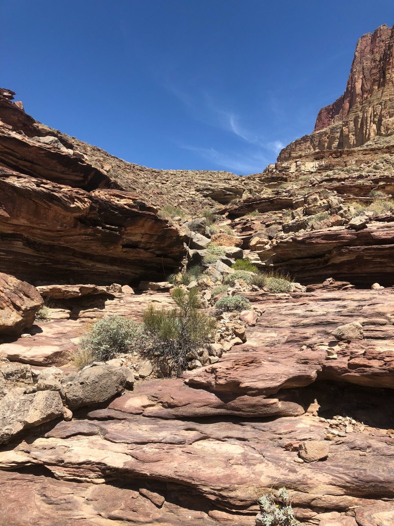
… and were finally on the Tonto Trail.
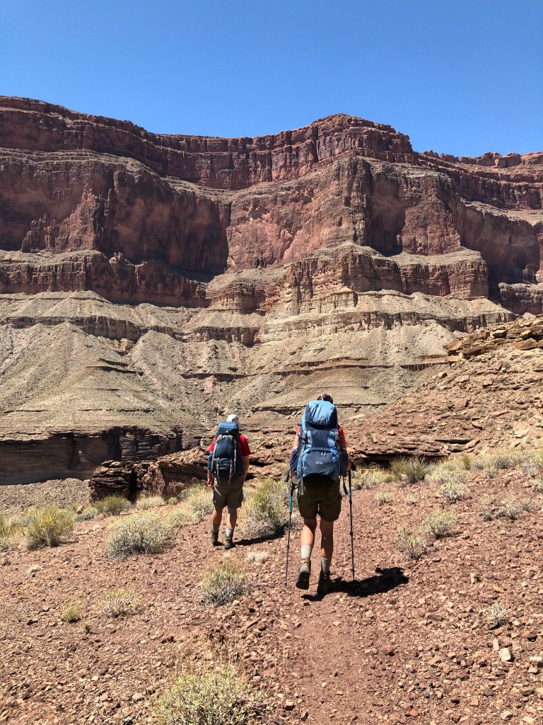
The temperature had become hot, so when we came across some ample shade in a drainage we took a welcome break.
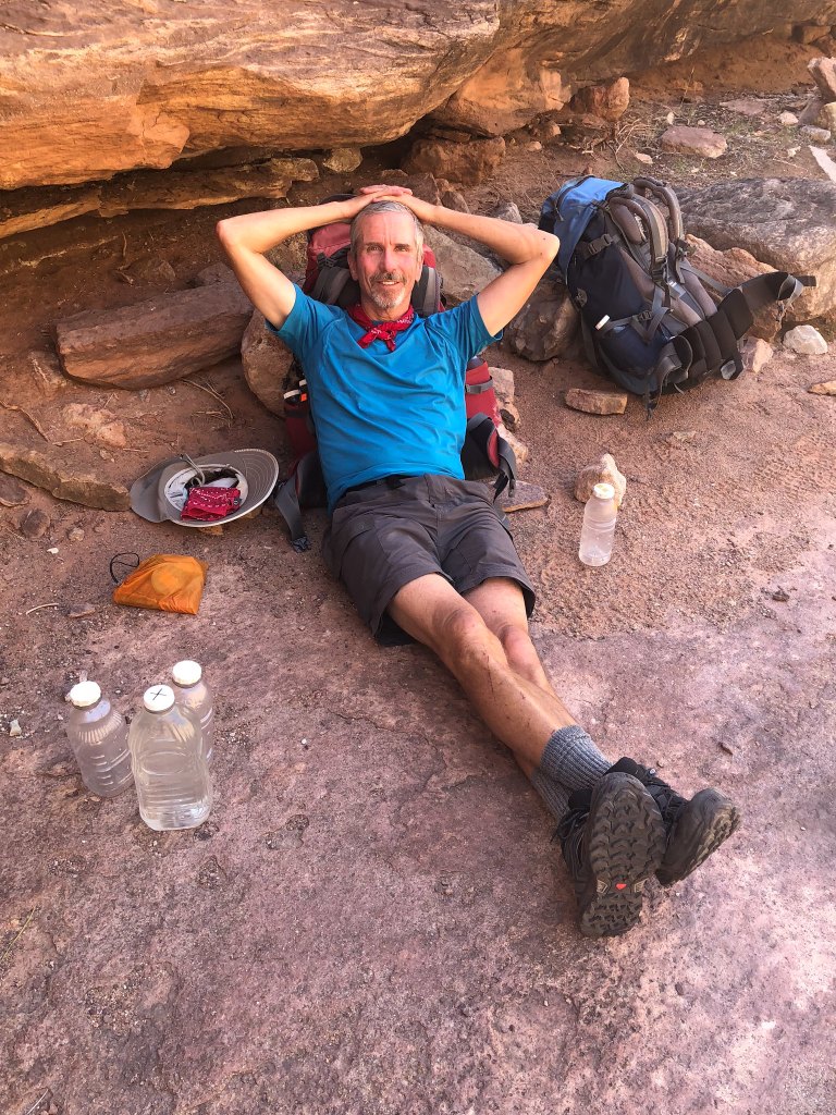
There were even some shallow puddles with just enough water to soak our bandanas which we all wore around our necks (very refreshing). I then soaked our shirts which were then quite exhilarating to put back on!
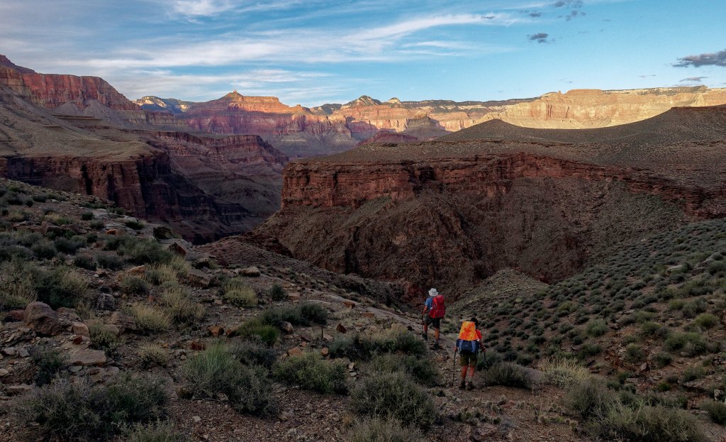
After a short rest, we continued. While I enjoyed the variety of experiences provided by going down Royal Arch Canyon, I always enjoy hiking on the Tonto. There is just something about the open expanse, …
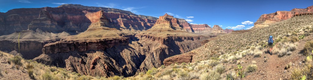
… and the views down to the river …
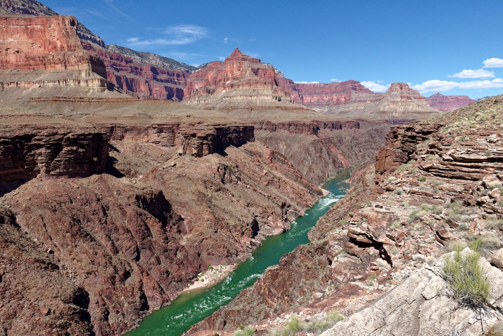
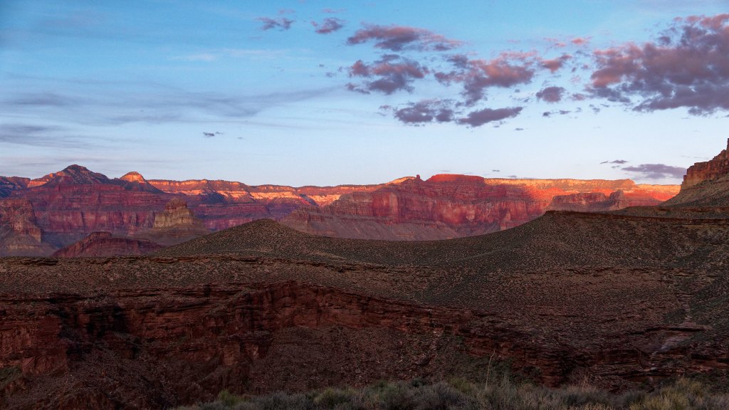
… and up to the rim.
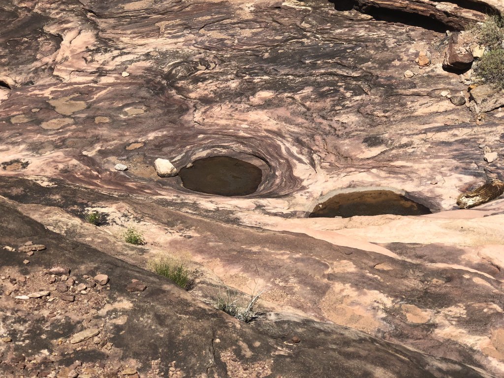
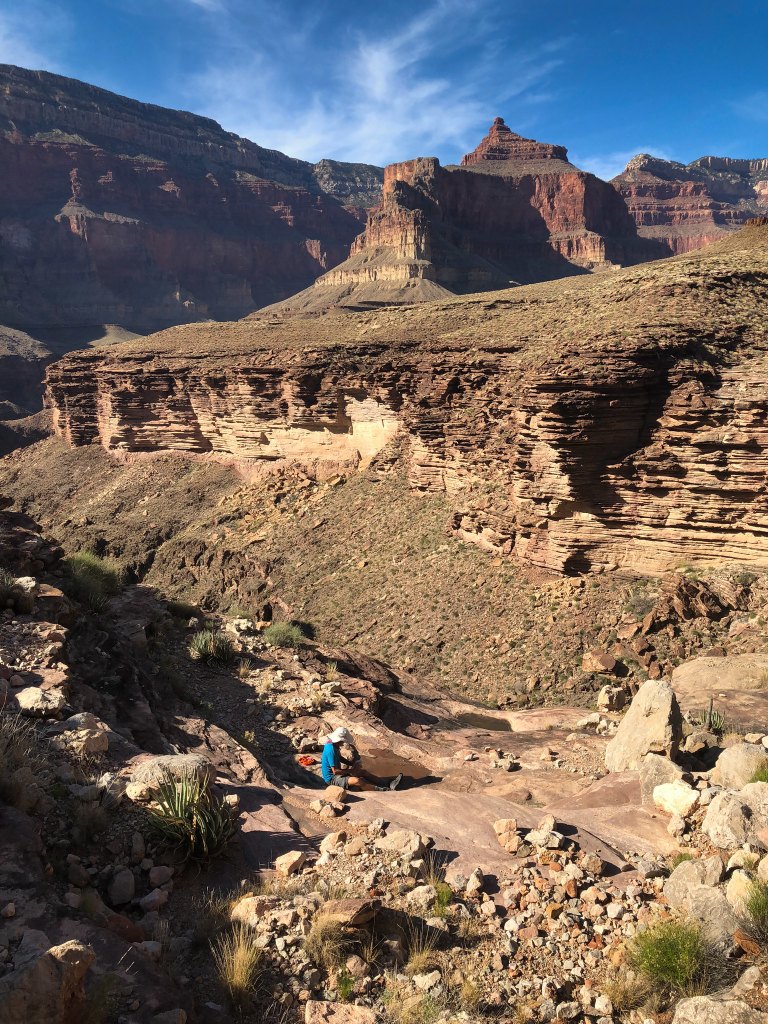
Because it was so hot, we had some concerns about water. When we saw these potholes below us in a drainage we investigated. It wasn’t the clearest pothole water we have seen but it seemed like a good idea to collect two liters to have in reserve just in case.
Our destination that day was Copper Canyon.
We had been given some instructions on how to find “Bass Camp” within Copper Canyon and the likely location of some potholes. But this would require some off-trail exploration, and we had intended to get there with plenty of daylight to do that safely.
However, our time spent in the shady side canyon was working against us and it was later than was “optimal” for off-trail exploration. But we really needed to locate water, so we headed off the Tonto in what we thought was a likely spot to allow us to drop into the canyon.
Unfortunately, we were losing light too fast and it was getting harder to choose our route. Given our experience on the remote Tuckup Trail, John and I were more comfortable with this plan. We were also more confident we would find water, so we had been drinking an adequate amount throughout the day. However, Dan had less experience and expressed discomfort with this off-trail exploration. He had also been conserving his water and was becoming dehydrated. I gave him some of mine.
We then decided it would be safest to get back on the trail and hike by headlamp to where the Tonto crosses Copper Canyon, set up camp, and look for water from there. Once at the crossing, we dropped our packs and first headed up canyon but encountered no water in the gravelly canyon floor. Near the crossing I found a shallow puddle of funky water and started to collect what I could while John and Dan searched down canyon. They were both determined to keep going until they found water. And they did! They found some suitable potholes about 10 minutes down canyon. Dan explored a little further and saw more below a pour-off that could probably be down climbed if we needed it. Back at camp everyone drank their fill, had supper, and went to bed.
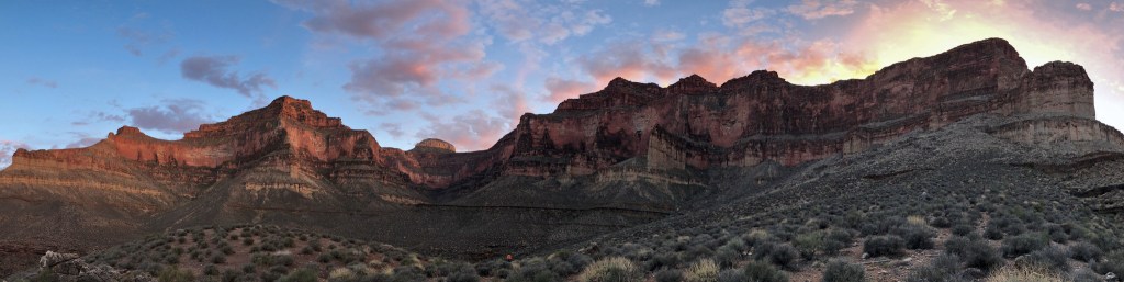
We intended to get an early start for our hike out as it was supposed to get quite hot that day. However, hiking after dark, spending so much time and effort getting water, and eating late on multiple days are not conducive to early starts. John and Dan had to go get more water in the morning and it just took time to treat that much for three people with one SteriPen. All I can say is that we did the best we could under the circumstances. At least we knew where our next source of water was—in our Jeep at the trailhead.
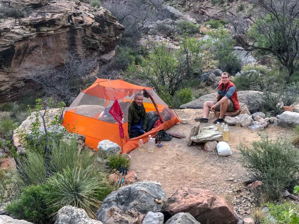
Looking down Copper Canyon from the Tonto …
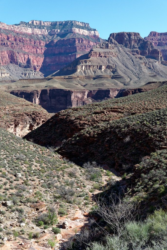
… you can see the pothole where John and Dan got water.
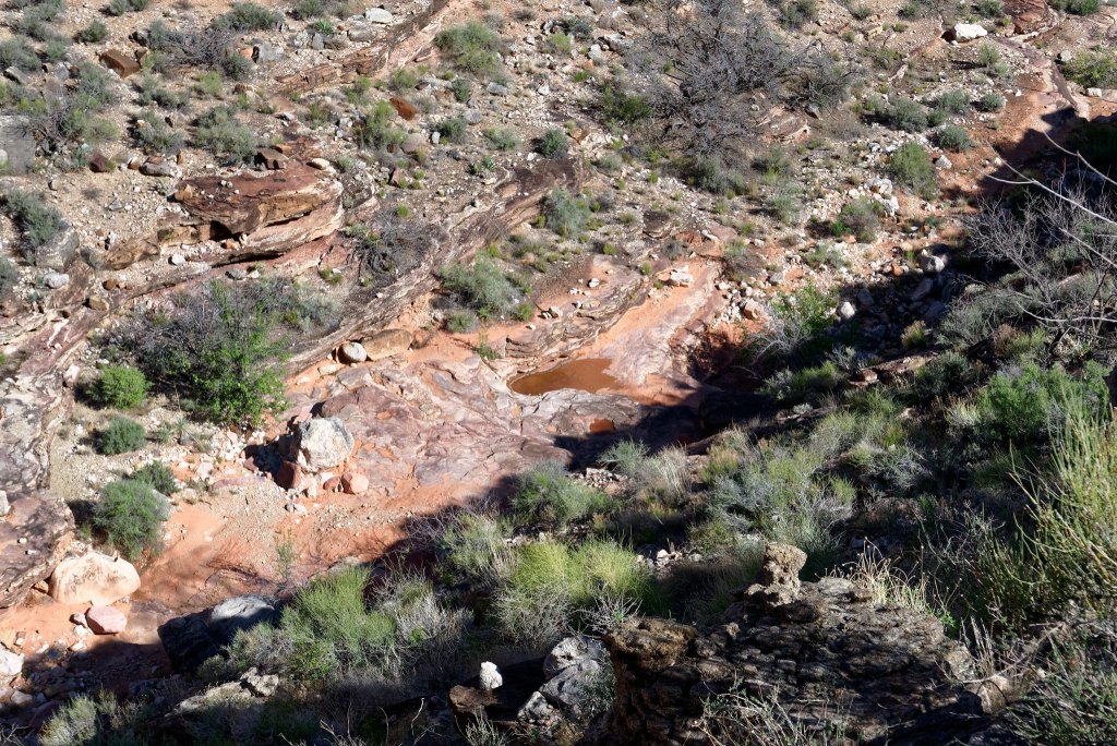
As we headed out on the Tonto, we looked across Copper Canyon to where we had been doing our exploration the evening before.
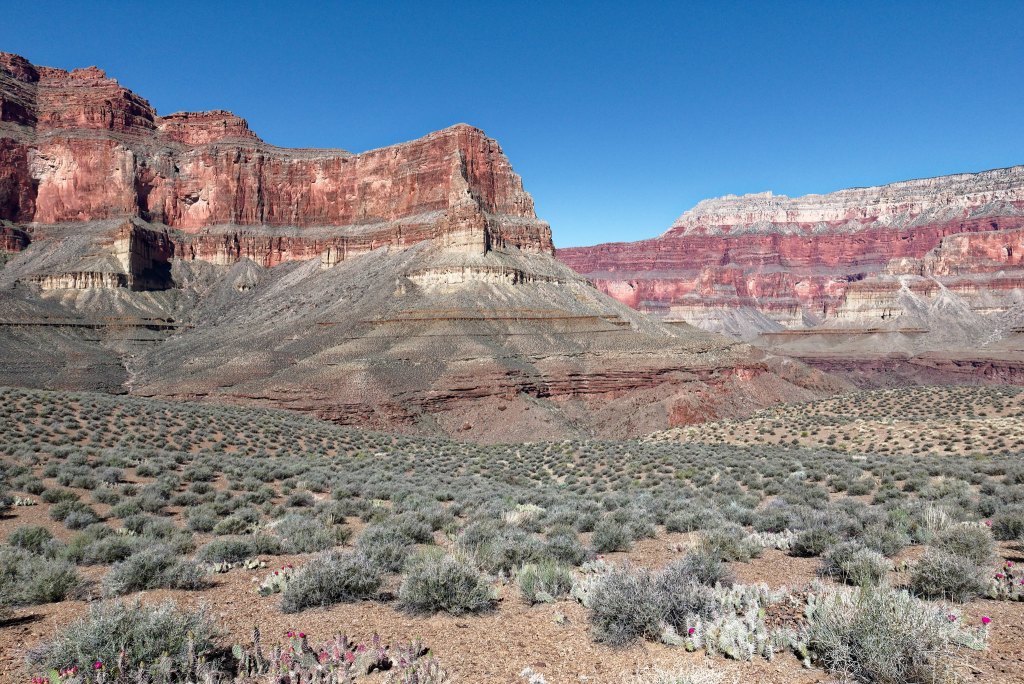
It did look like it would be possible to find a way down into Copper Canyon, but we accepted that it would not have been a good idea for us to try to do it in the dark. We had been told Copper Canyon is a beautiful canyon and well worth spending time in so perhaps John and I will come back sometime and plan to spend a couple of nights in Bass Camp and explore the area.
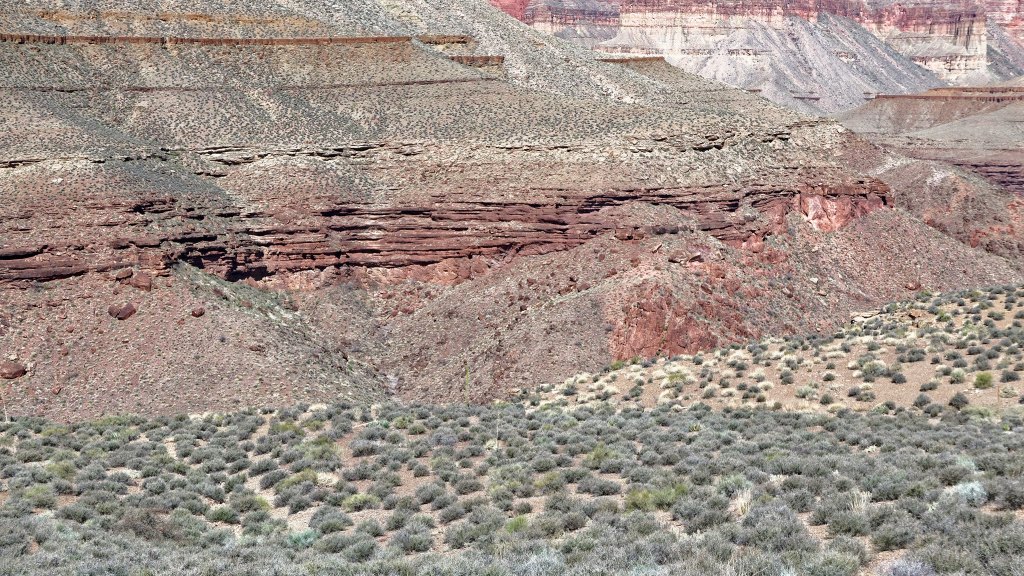
The way ahead of us now was straightforward. We had no decisions to make …
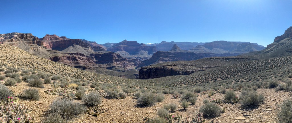
… and all we had to do was keep putting one foot in front of the other.
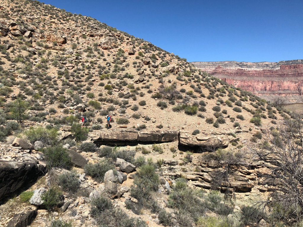
As we approached South Bass Canyon, we realized we could look across the river and up Shinumo Creek and the location of the North Bass Trail.
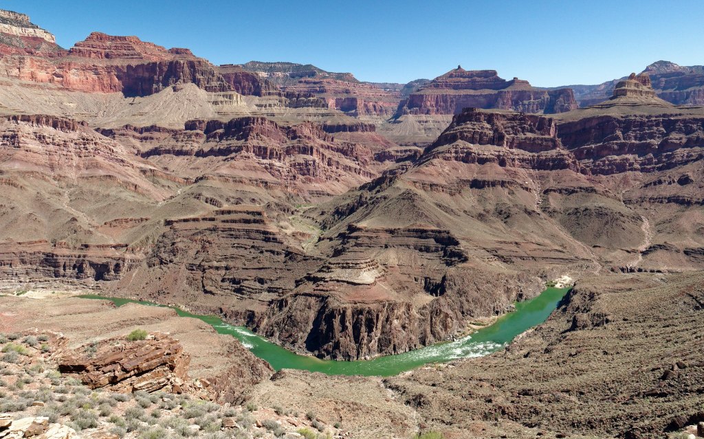
With Tyndall Dome to our right and South Bass Canyon directly ahead of us, it was time to turn our back on the river and head toward the rim.
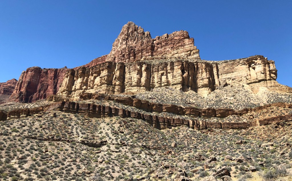
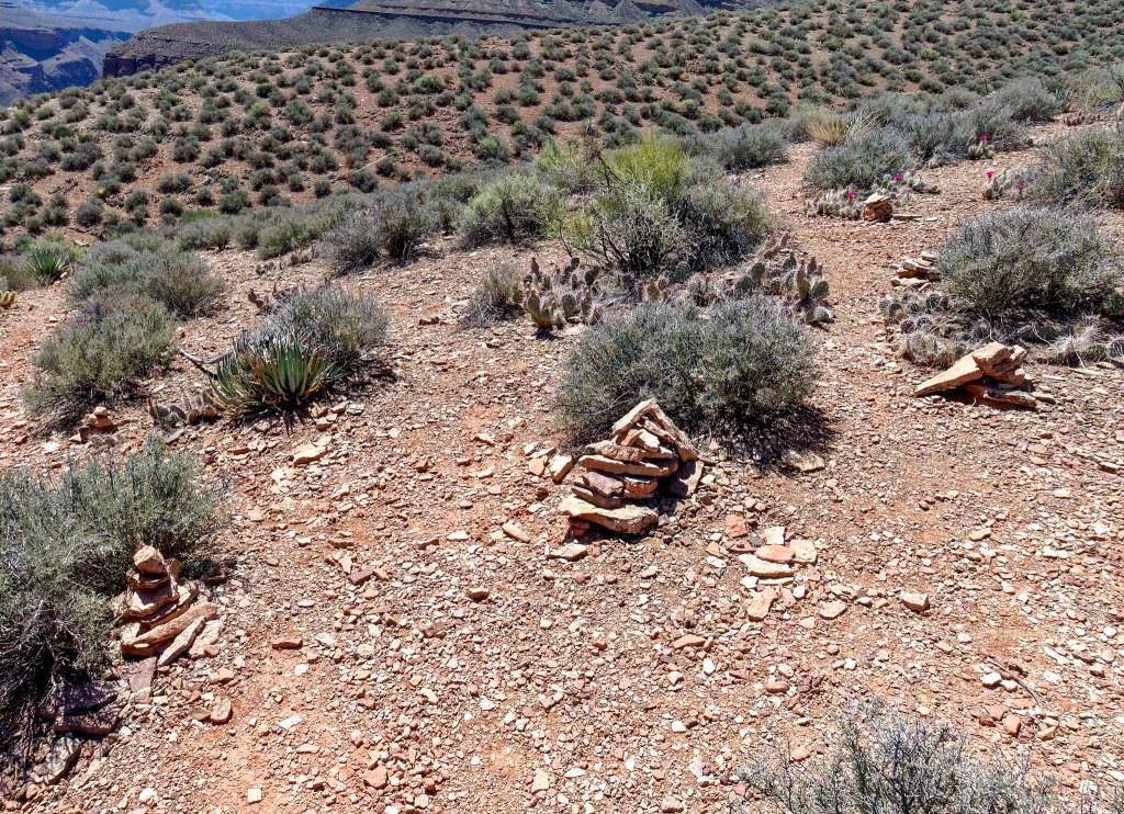
Had we needed or wanted to go to South Bass Beach and the river we would have taken the shortcut trail marked by this cairn.
But we didn’t. We followed the Tonto Trail as it circumvented South Bass Canyon.
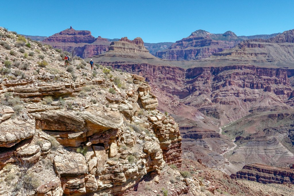
We eventually left the Tonto behind …
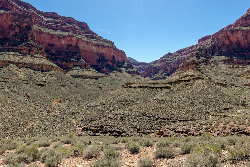
… when we reached the junction with the South Bass Trail …
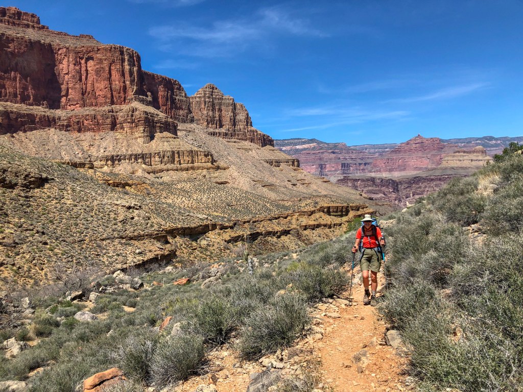
… and made our way up the canyon.
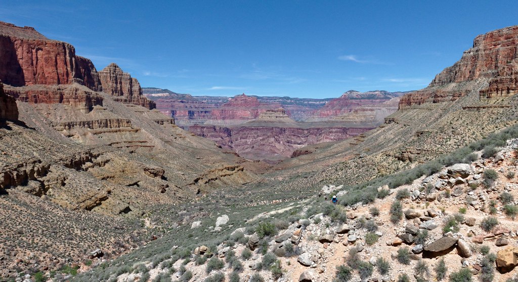
It was really hot and it took its toll, especially on me. I lagged behind …
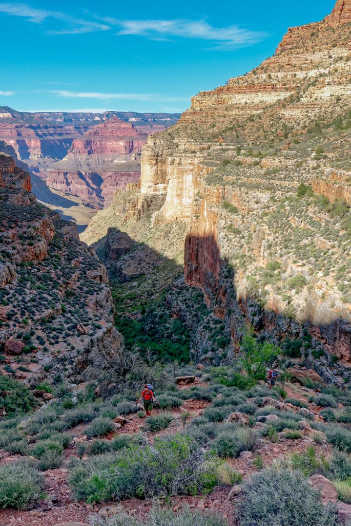
… but they always waited for me whenever they encountered the least bit of shade.
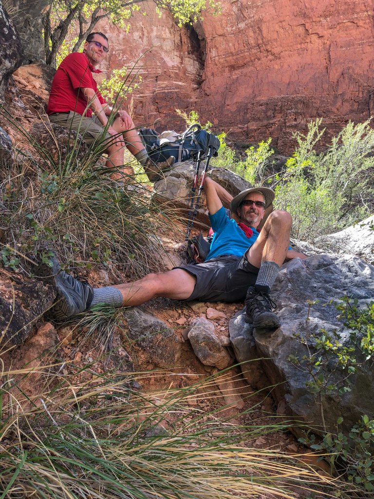
The advantage of our hiking this late in the afternoon was that we were eventually in shade for much of our hike out.
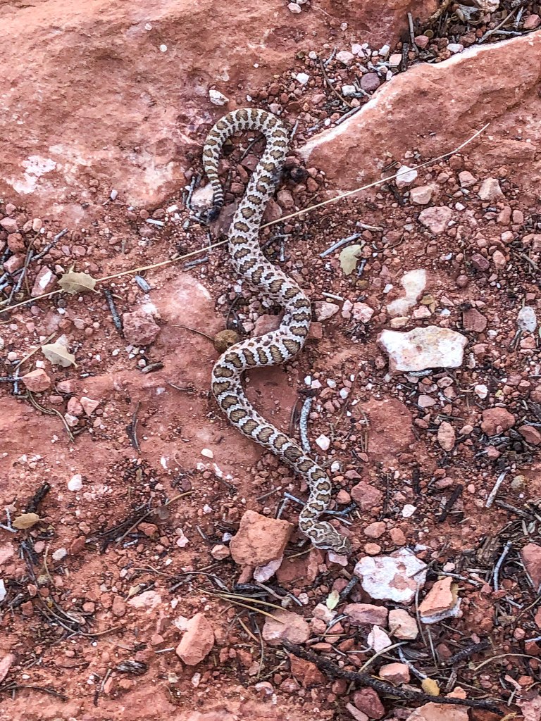
I am normally very careful where I place my feet and usually keep my eyes open for such hazards, but this snake took me completely by surprise and startled me. Fortunately, at least for me, it was dead. I hope a live rattler would have had the good sense to alert me way before I had a chance to get this close.
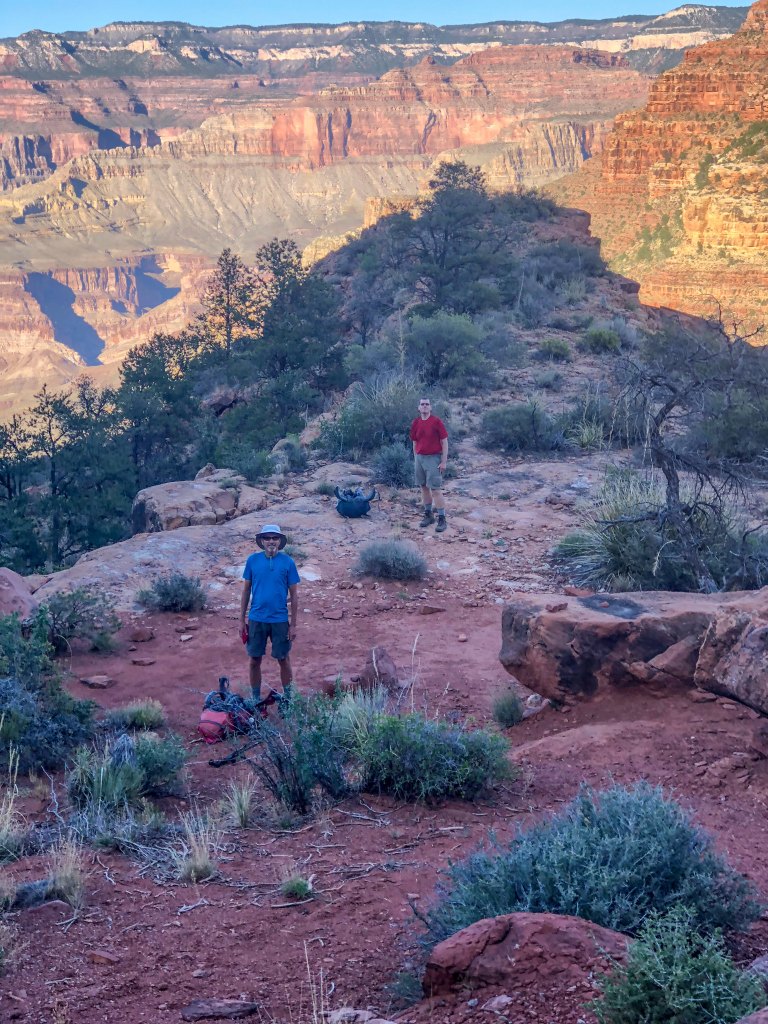
We took a well-deserved break and finished any food we had left. I thought my fatigue may have been due to being short of calories, so I was now quite grateful for the extra food Dan had insisted on bringing.
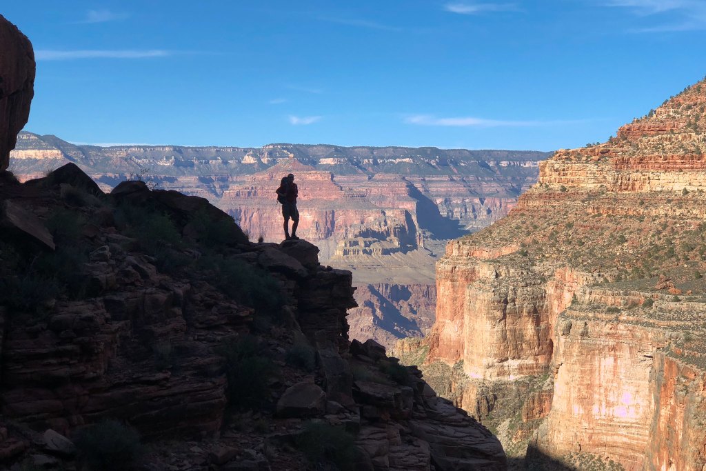
We also allowed ourselves a few minutes to just enjoy where we were. There is always a bittersweet feeling on the hike out from a backpack trip. Bitter because we would be thrust back into civilization and forced to give up our blessed solitude and sweet because hot showers and fresh food awaited us.
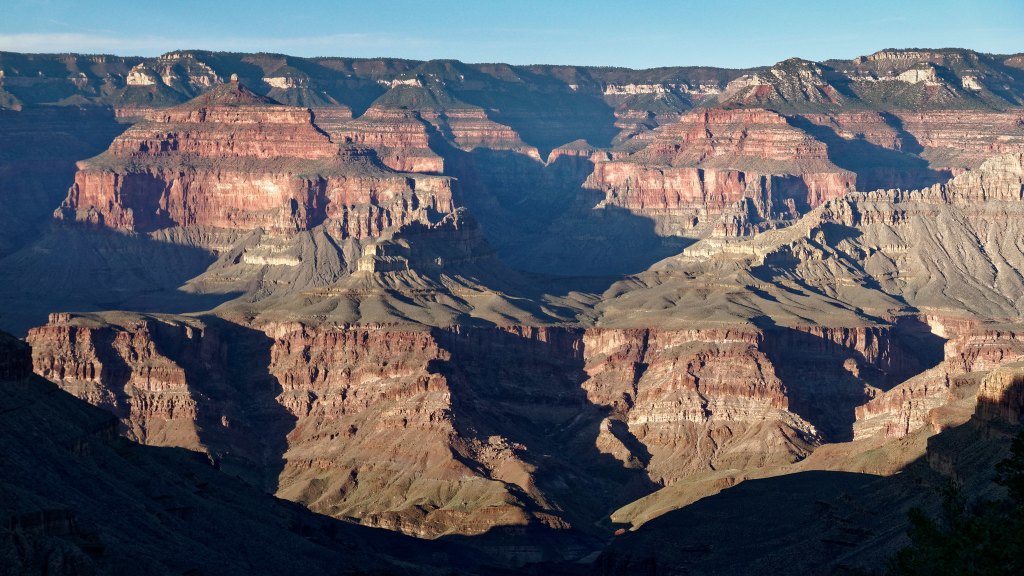
After a steep climb up the well-constructed trail (complete with stone stairs) we were once again on the Esplanade.
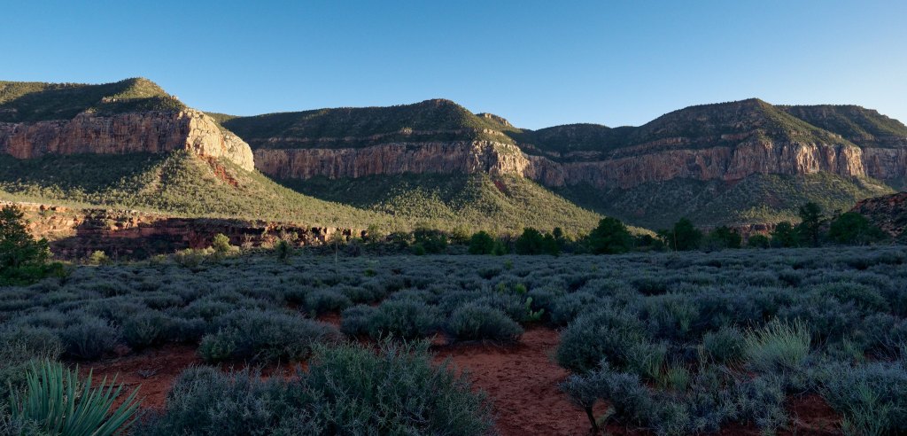
We then made our way …
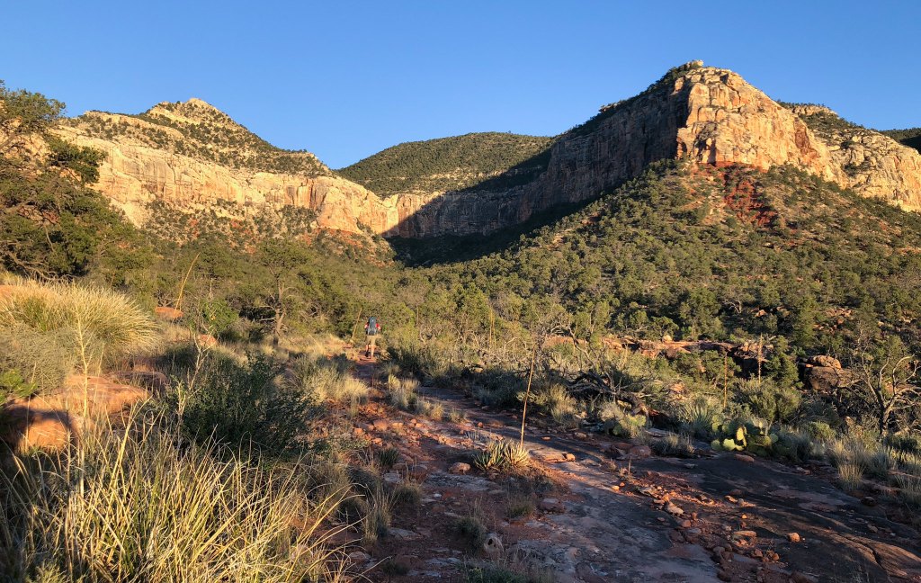
… up the trail with the rim looming above us.
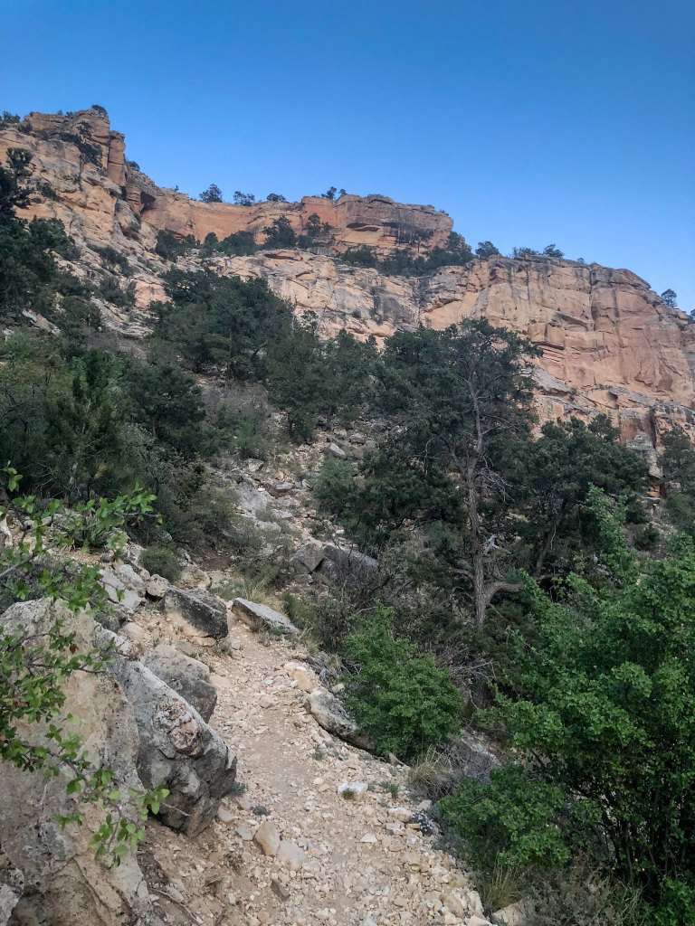
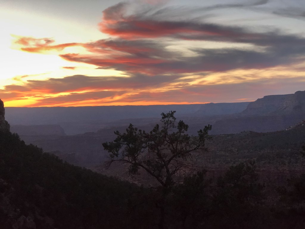
We continued as the sun went down …
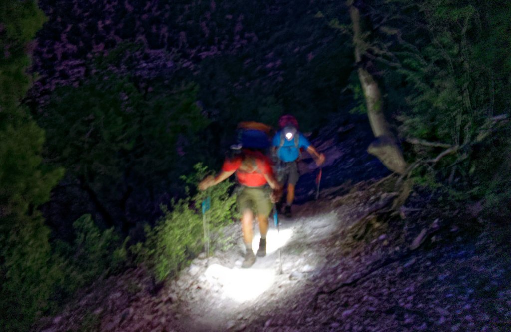
… and finished the day by headlamp, again.
The Royal Arch Loop is one of our favorite backpack trips. It offers such a wide variety of experiences, and it makes you work hard enough for each and every one of them, so you properly appreciate them.
All photos from this trip are on Flickr.


Leave a Reply