In April 2015 we did a two-day, one-night backpack trip down South Canyon in Grand Canyon National Park, Arizona. John was 62 and I was 61. We found it challenging. The park service Trail Description indicated we would encounter “… steep and loose, minor route-finding, lack of meaningful trail, and many miles of ankle-twisting drainage bottom walking”. But it is only 6.5 miles. In our opinion, it seemed much longer because it was so slow. We had gotten some less-than-positive remarks from rangers when we mentioned we would be doing it. One went so far as to say “Go to the trailhead and walk over to the rim. Look down to see if it is a trail you really want to do”.
We left our motorhome at Lee’s Ferry and did an early morning drive to the trailhead. It was cold and windy so we were both bundled up.
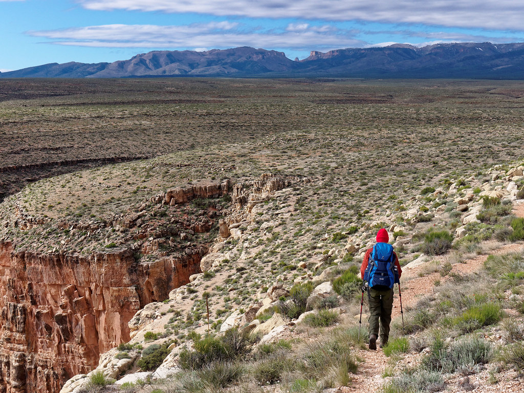
We did the short walk to the rim and then looked down. We didn’t know it at the time but we were looking down on essentially the entire trail. Yes, it looked steep, but we were undaunted.
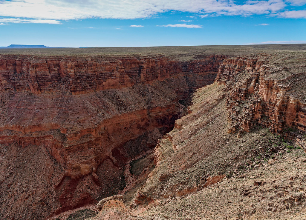
The trail starts its steep descent through a narrow chute. Once out of the wind we warmed up and could shed clothing.
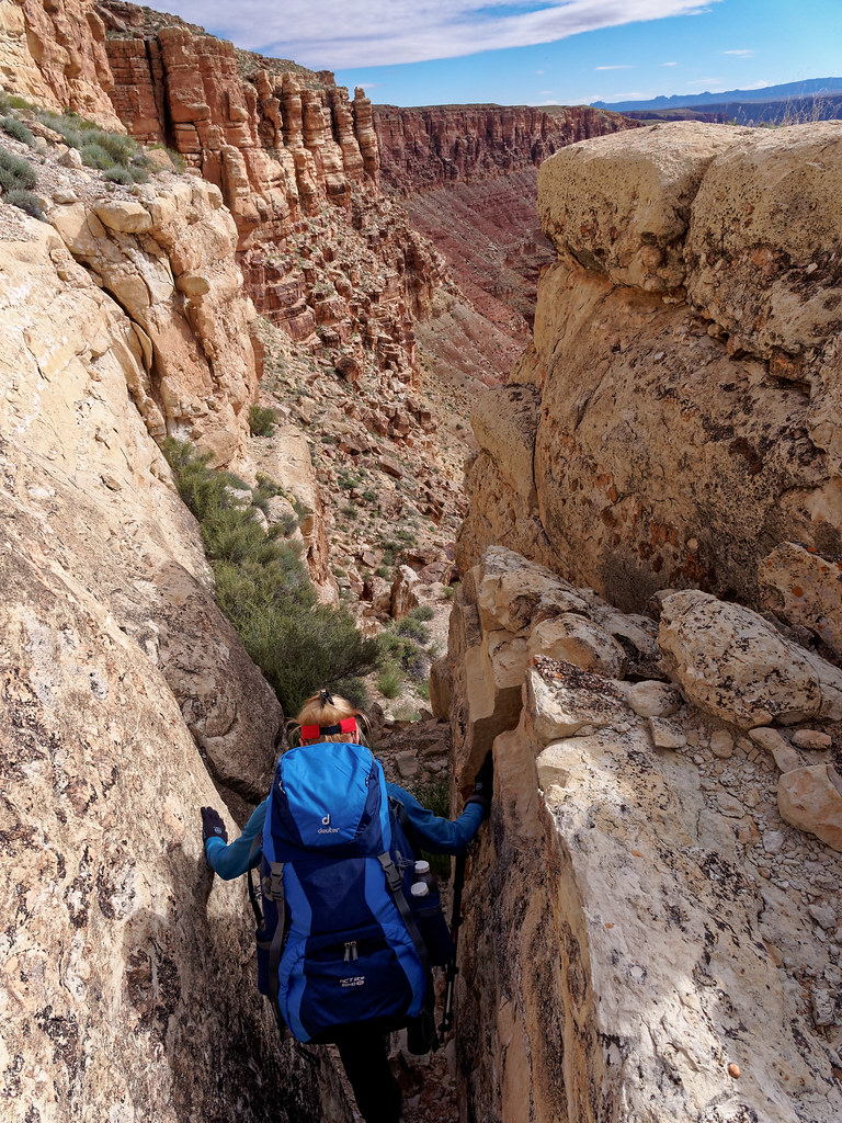
We had an excellent view of our route down the canyon. It looked so easy from above but I was reminded of that part of the description – “many miles of ankle-twisting drainage bottom”.
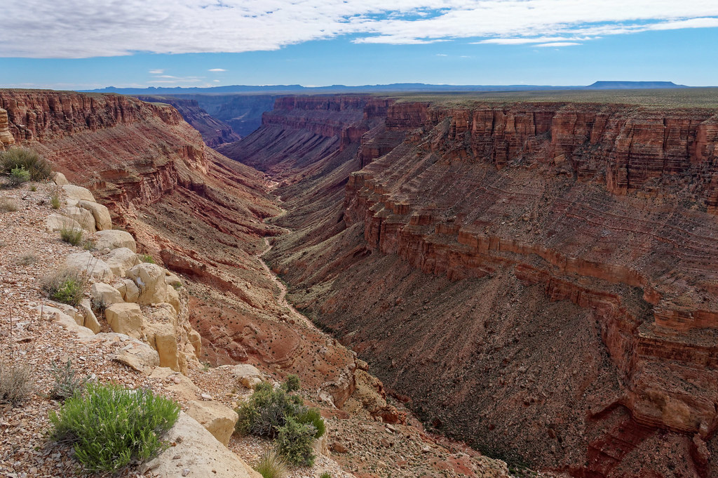
The first part is quite steep and there is lots of loose rock. I was relying on my trekking poles enough to put up with them getting in the way on the more climby parts.
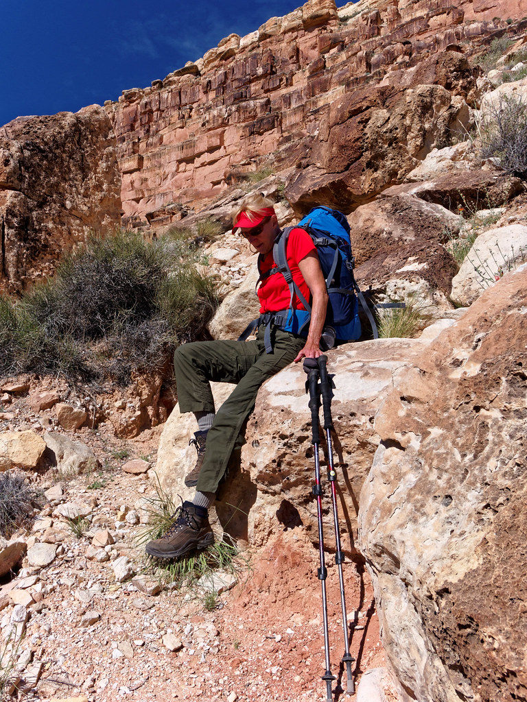
We took a short break at a scenic overlook.
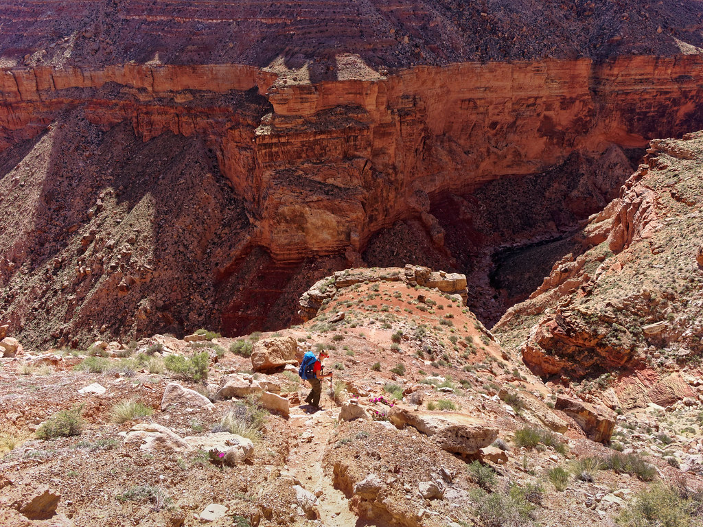
The trail continues down to a pour-off in the limestone. John felt comfortable down climbing the steeper section of this feature wearing his pack but I did not so we used a rope to lower it. In hindsight, John decided it would have been faster for him to just come back up and carry my pack down.
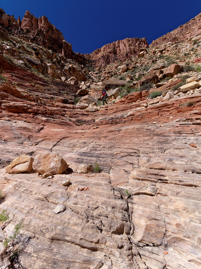
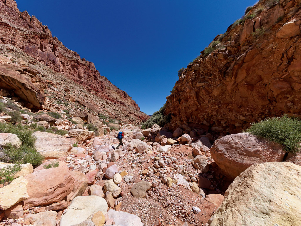
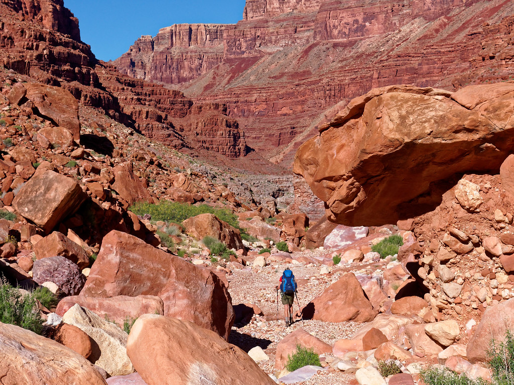
It took us a long time to reach the bottom of the canyon. It was such a relief! But there is no clear trail or route and we initially had to fight our way through some brush. Fortunately, the canyon does open up a bit but one must then contend with the many boulders strewn among the “ankle-twisting” rocks.
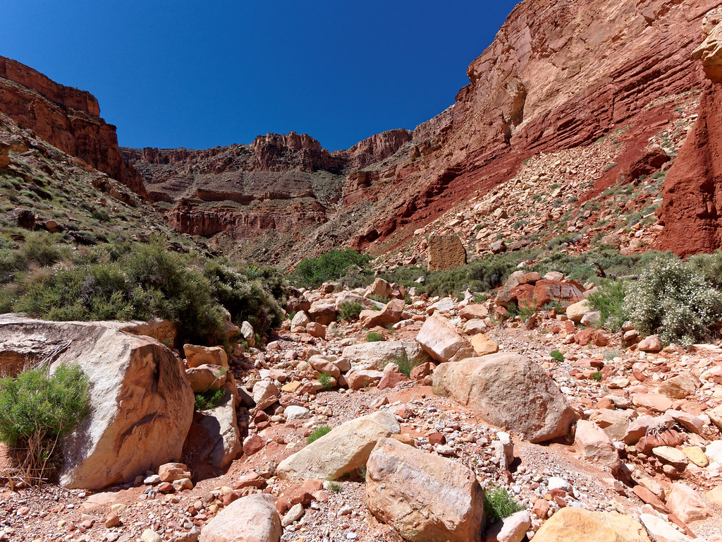
It was very slow going and we had some route-finding issues. We had to keep an eye out for bypasses around obstacles and fortunately they were mostly marked by cairns.
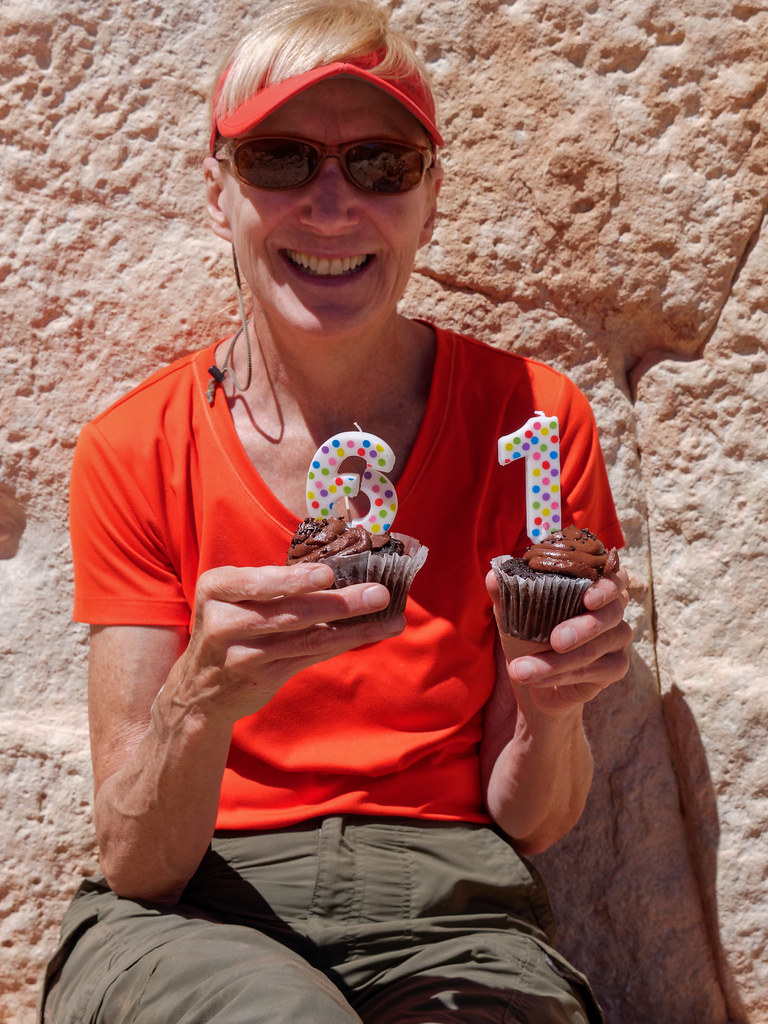
It just so happened to be my 61st birthday. We were stopped for lunch when John excused himself for a few minutes and disappeared around a large rock. I didn’t give it a second thought. But he soon came back into view carrying two chocolate cupcakes with the numbers 6 and 1 on top. I couldn’t make sense of what I was seeing! I still can’t imagine how he kept them a secret in our modest-sized motorhome or how he snuck them into his pack not to mention how he kept them intact on the rough trail (he did try to light the candles but it was simply too windy).
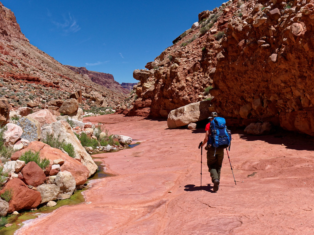
After eating the cupcakes, we eventually got going again. At times we were treated to some broad open surfaces to walk on and it was sheer pleasure.
We saw some water in stagnant pools rich with insect larvae. Not a problem for us as we were planning to get water from the river and fortunately the river was running clear, not muddy.
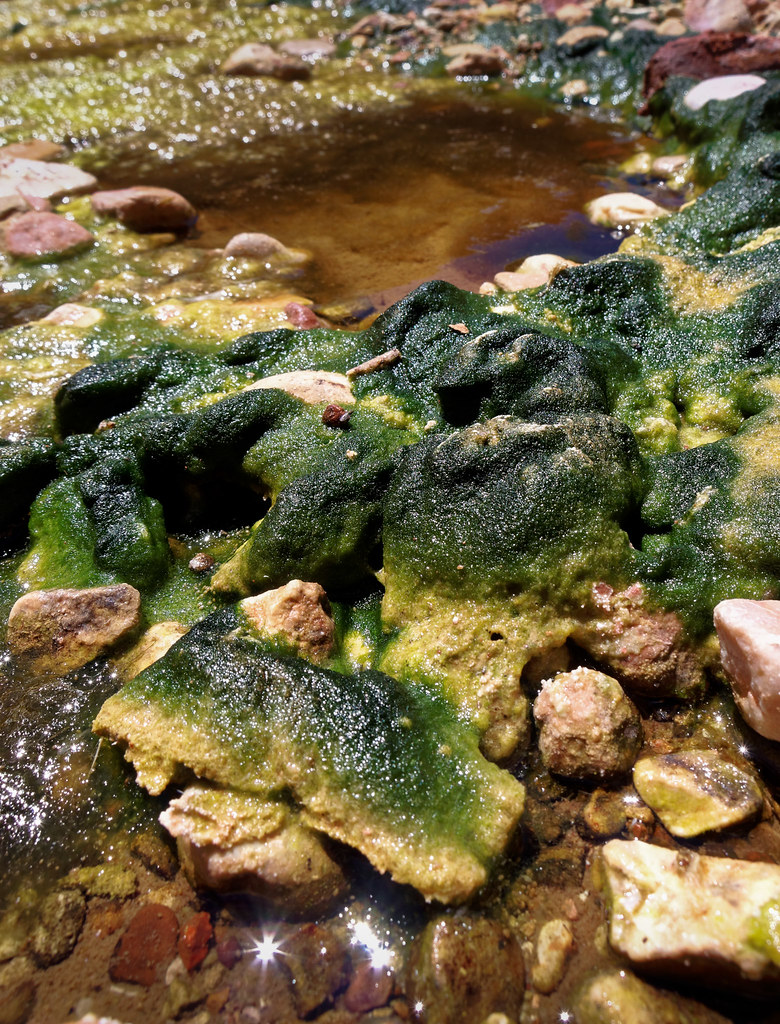
However, some pools did appear much clearer. Water within Grand Canyon is such a valuable commodity and not to be taken for granted. You always want to know where the nearest water is and it was reassuring to know there was something to drink nearby if for some reason we couldn’t get all the way to the river.
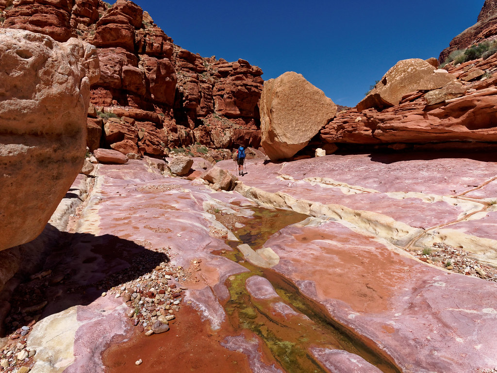
We were not too concerned about our slow pace. After all, it is only 6.5 miles to the river. There were quite a few ledges with some tempting shade so we took long breaks, something we tend to do.
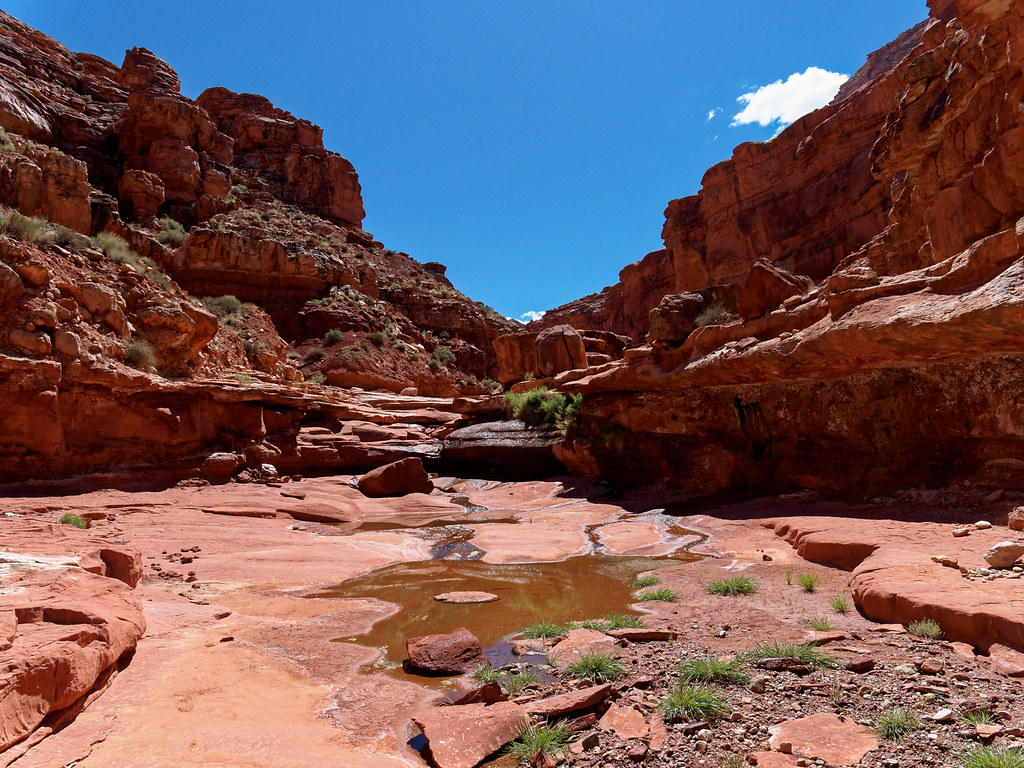
At one point we reached a broad, tall pour-off—nothing we would ever want to climb down.
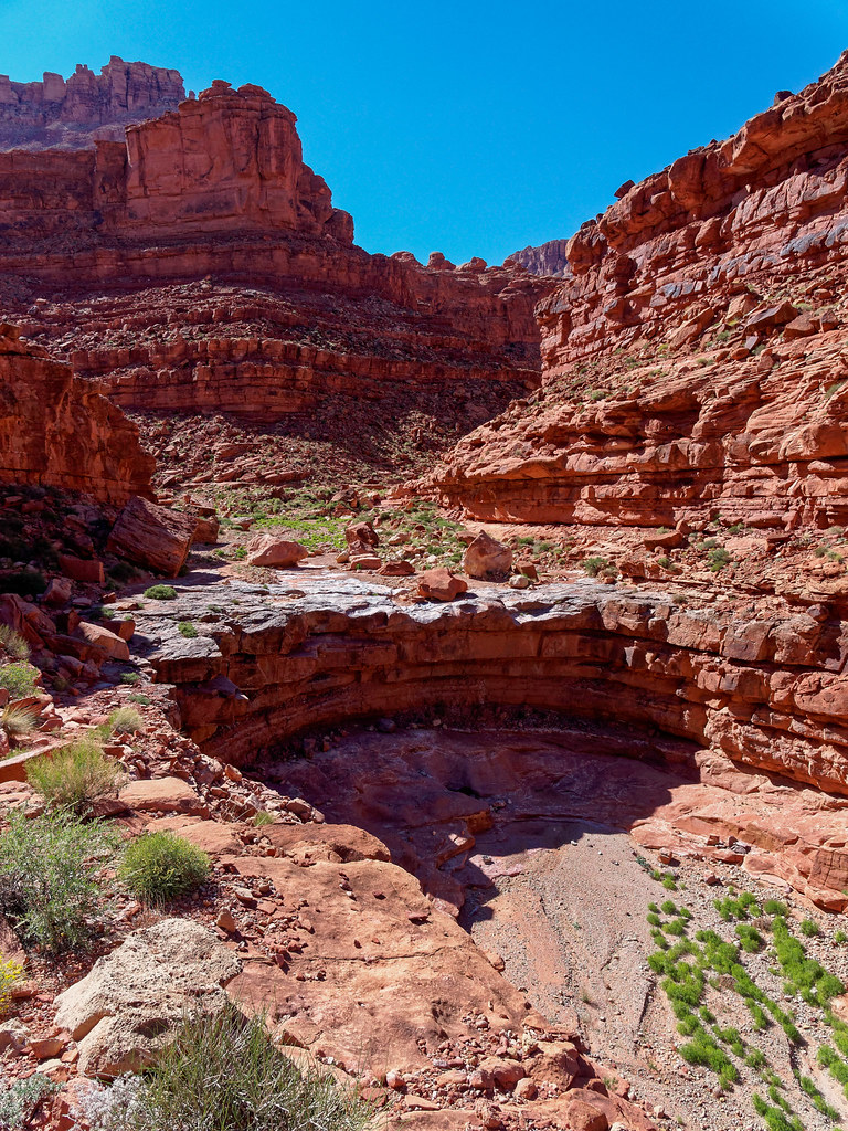
Fortunately, there is a bypass. It traverses quite a ways …
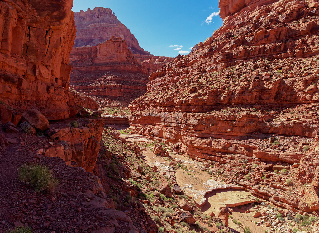
… before descending back down to the canyon floor.
We continued down canyon and ignored cairns for Bedrock Canyon on the left which could encourage an inattentive hiker to get off route. I should have realized then that not all cairns on this route were to be trusted. We got down to an inviting ledge in Redwall limestone (which was its normal grey color) …
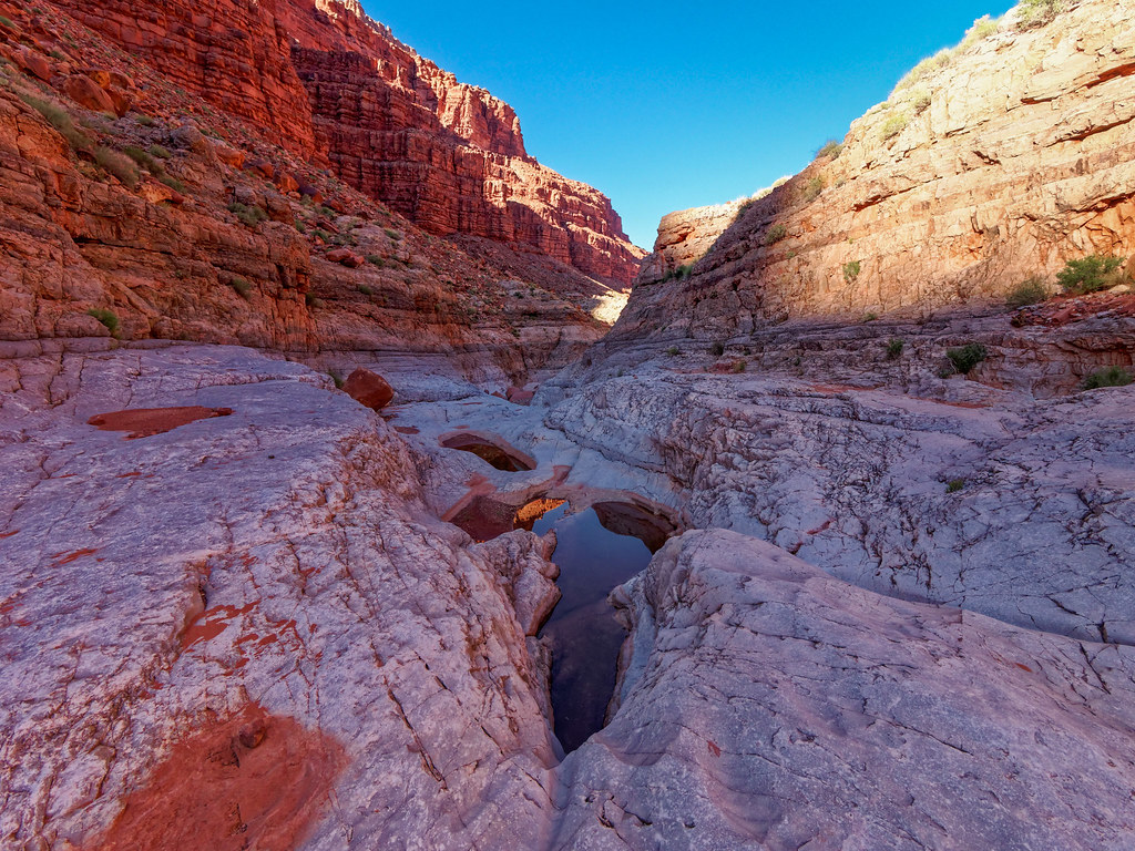
… and I followed some obvious cairns that led up to the right. Before too long I rounded a corner and was confronted with the body of a dead eagle. I should have taken it as a sign that this was not the way. But I didn’t. We continued on until we reached a chockstone in a narrow portion of the canyon. My heart sank. At that point in time, I had never been confronted with anything like that before. We thought that we might be able to chimney down it but I was doubtful that I had the skills necessary to get back up it. We were stymied.
But John reread the trail description, and we realized we had missed the correct bypass. We backtracked, found the cairned route, and were able to continue.
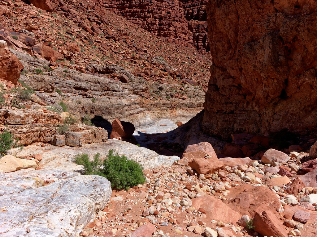
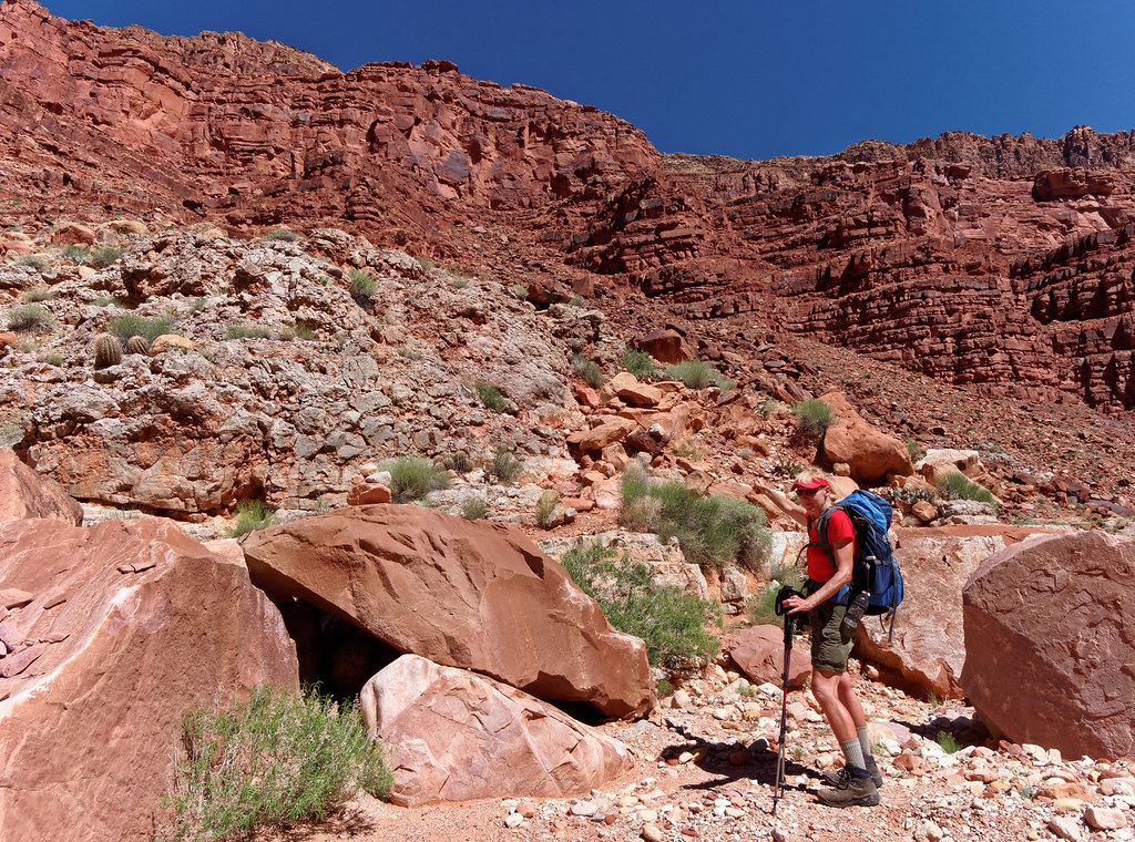
Once on the bypass above the Redwall narrows, it was a joy to walk on a pretty good trail after the hours spent picking our way over and through rocks. However, we had lost about an hour going too far down the canyon and were running out of daylight, so we couldn’t dawdle. We were now paying for all those long breaks we had taken.
We got to the beach with enough light to enjoy the sight of the Redwall (stained by the varnish which gives it its name) rising directly out of the river. We have been to the river many times before but it has always been further downstream where the river is well below the Redwall. I hadn’t expected to get such a unique view and it made the trail worth doing.
The next morning we got a much better view of this unusual sight.
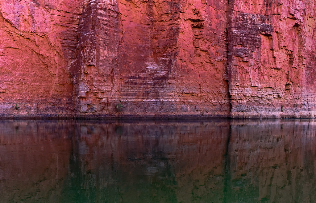
Whether we looked upstream …
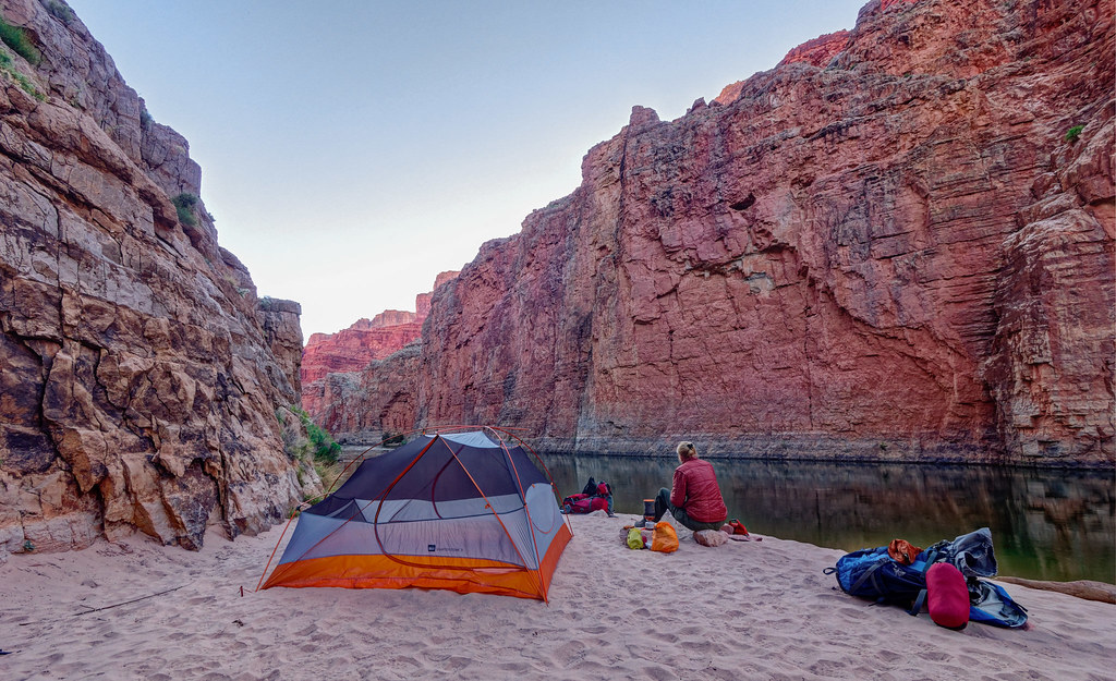
… or down, the Redwall is a very imposing presence!
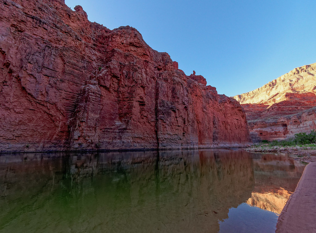
John headed downstream to take some photos. One of the highlights of this hike is visiting Vasey’s Paradise located downstream from where we were camped. However, to get there one must cross very sloped and potentially wet and slippery rock. In addition, there are warnings about poison ivy. He chose to not give it a try largely due to a lack of time.
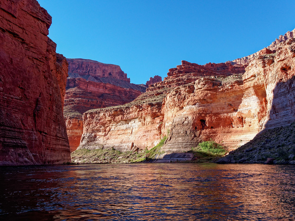
However, those on boats have good opportunities to see it without the risks.
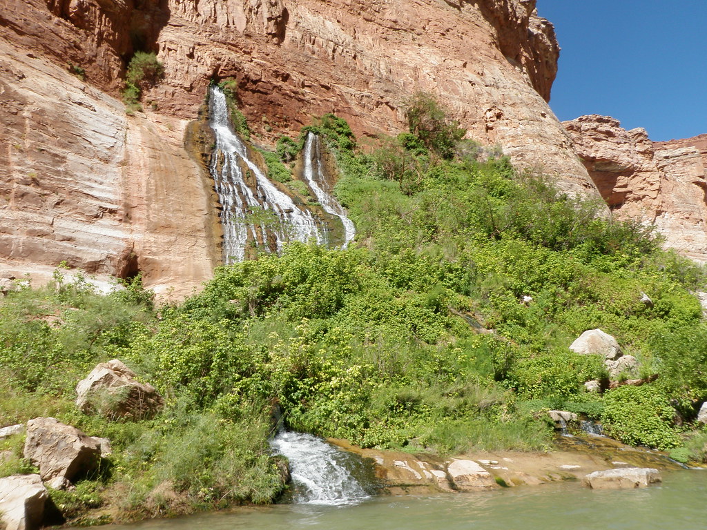
John did hike up the mouth of South Canyon …
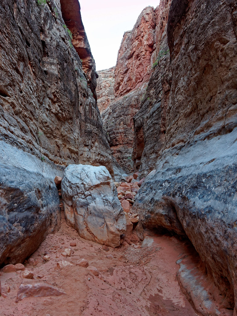
… but quickly encountered a chockstone. He didn’t want to take the time to see if he could get up it so he turned around. Even though we had only 6.5 miles to hike out, he knew they would again be slow miles.
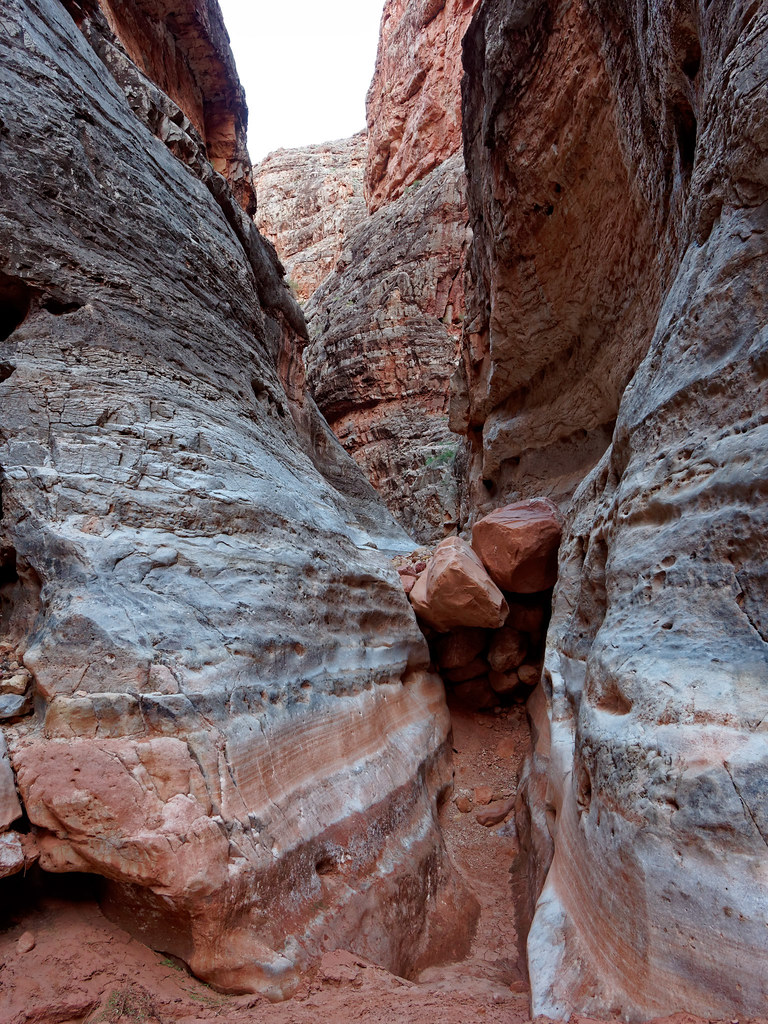
The hike out afforded us continuing views of the Redwall and river, but now in brighter light.
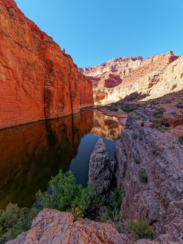
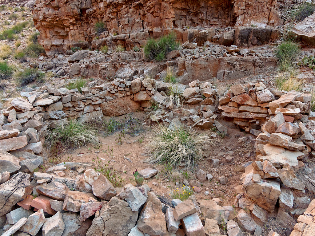
Once on the ledge above the river, the trail passes what appeared to be the remains of an Ancestral Puebloan structure. While some of the rocks are still held together with the original mortar, most appear to have been stacked by well-intentioned but misguided modern-day visitors. The park service does its best to instruct visitors to look at artifacts left by the people who inhabited the area in the past, but not to damage, attempt to rebuild, or remove them.
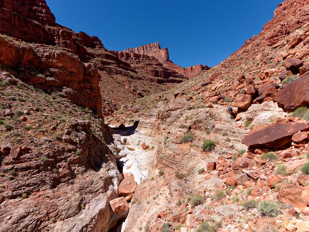
As we headed back on the bypass (I am just visible on the trail toward the right) we began to get views up the Redwall (back to its natural grey color) narrows below.
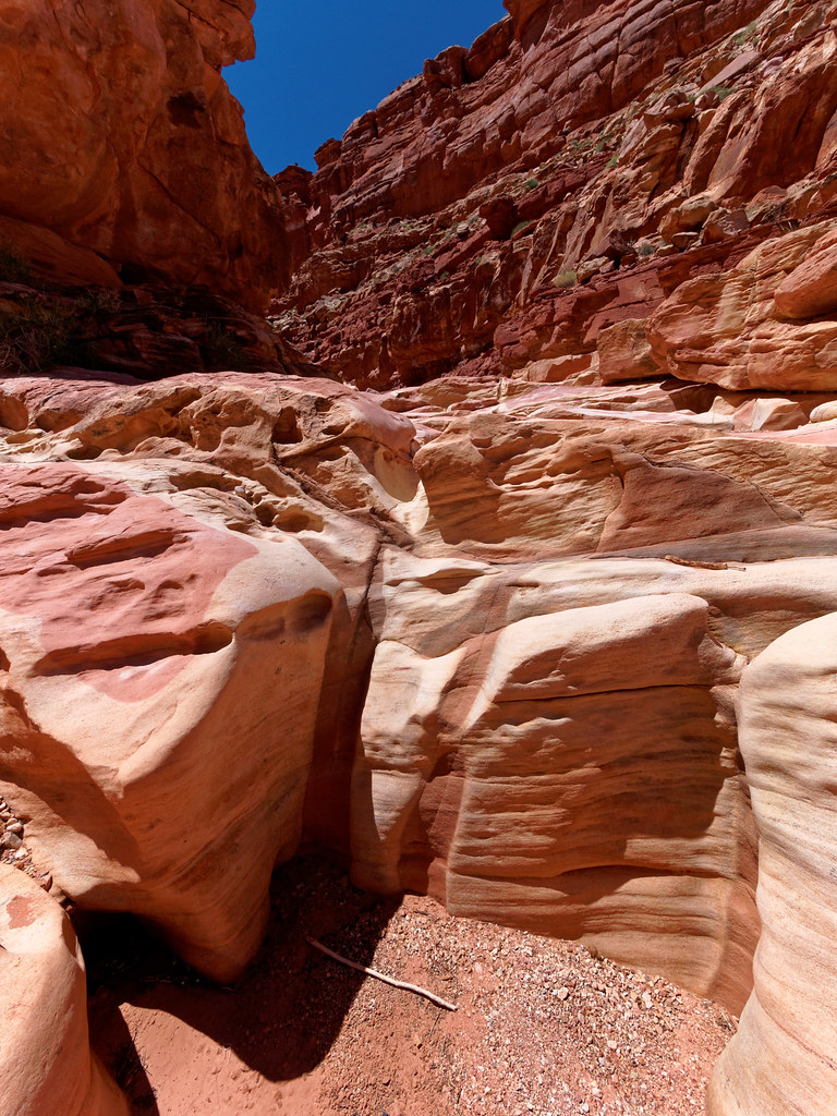
While South Canyon does offer some challenging hiking, it also has its own unique beauty.
Even though we had already found our way past all of the obstacles the day before, they looked different from below, so it still took just as much time.
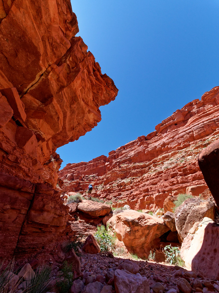
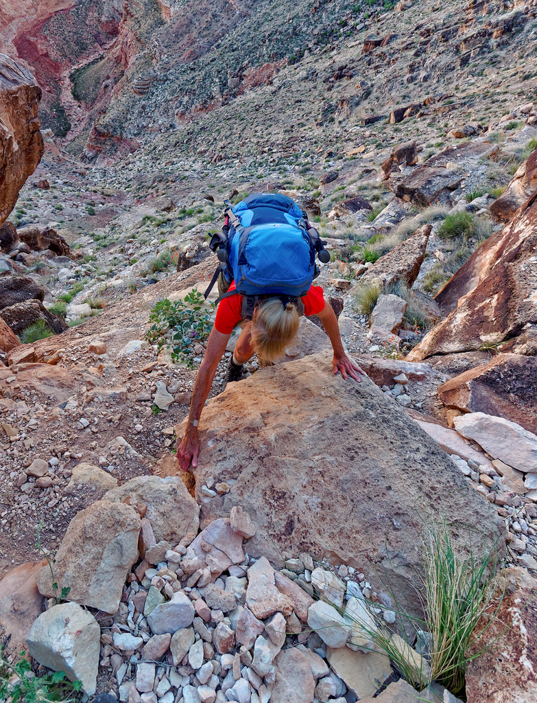
We finally reached the point where it was time to begin the steep ascent. I used my trekking poles for a bit but found they got in my way too much so they got strapped to my pack. As I have done before when hiking in the canyon, I went into four-wheel drive. In my opinion crawling is an underrated mode of locomotion.
We were happy to finally reach the trailhead and welcomed the sight of our Jeep.
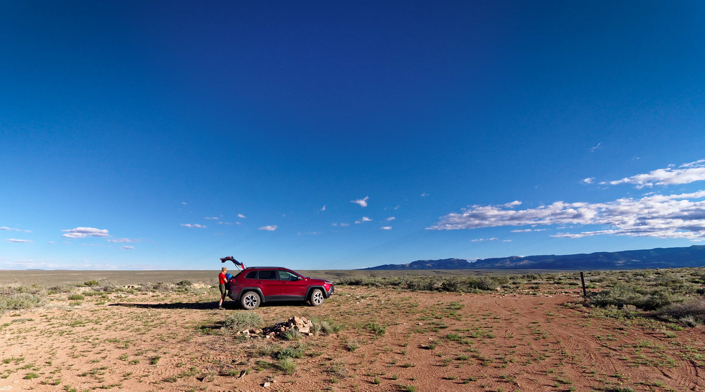
Even though we had been in that location just the morning before, it was still a shock to be in such wide-open country. What a contrast to being within canyons.
All photos from this trip are on Flickr.


Leave a Reply