In April 2014, we did a five-day, four-night backpack trip on the South Kaibab, Tonto and Grandview trails in Grand Canyon National Park, Arizona. John was 61 and I was 59.
The upper portion of this trail does not get much sun during the winter, so there can still be some snow and/or ice on it in early April. Fortunately, we could see well enough from the rim that the trail was largely clear, so we wouldn’t need to wear traction devices.

In our opinion, the South Kaibab Trail is the best-constructed of all trails in the park, and going down is easy.

One does not have to travel far to begin to get expansive views of the canyon.

But the South Kaibab is steep, which can be hard on knees. We dropped 3,260 feet in 4.3 miles before reaching the junction with the Tonto Trail at the Tipoff. We then headed east on the Tonto Trail.

We think the Tonto Trail is underrated. Hikers are frequently so focused on getting to the river that they don’t take the time to explore the Tonto and enjoy the openness, the solitude, and the views that are available both up to the South Rim and down to the river.

Our destination for the day was Lonetree Canyon.
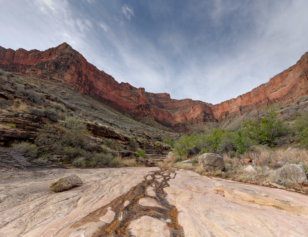
I always have a special feeling toward the first campsite of a trip. After the frenetic activity of packing up for the trip, getting to the trailhead, and then hiking to our first campsite, we thoroughly enjoy the opportunity to just relax and enjoy our surroundings.

We continued on the next morning, enjoying views of the South Rim …

… as well as the Colorado River (if you look closely, you can see boats on the river).

Our destination on this day was Grapevine Canyon …

… where we enjoyed another scenic and comfortable camp.

A characteristic of the Tonto Trail is that it zigzags, sometimes skirting the edge of the canyon, providing views of the river.
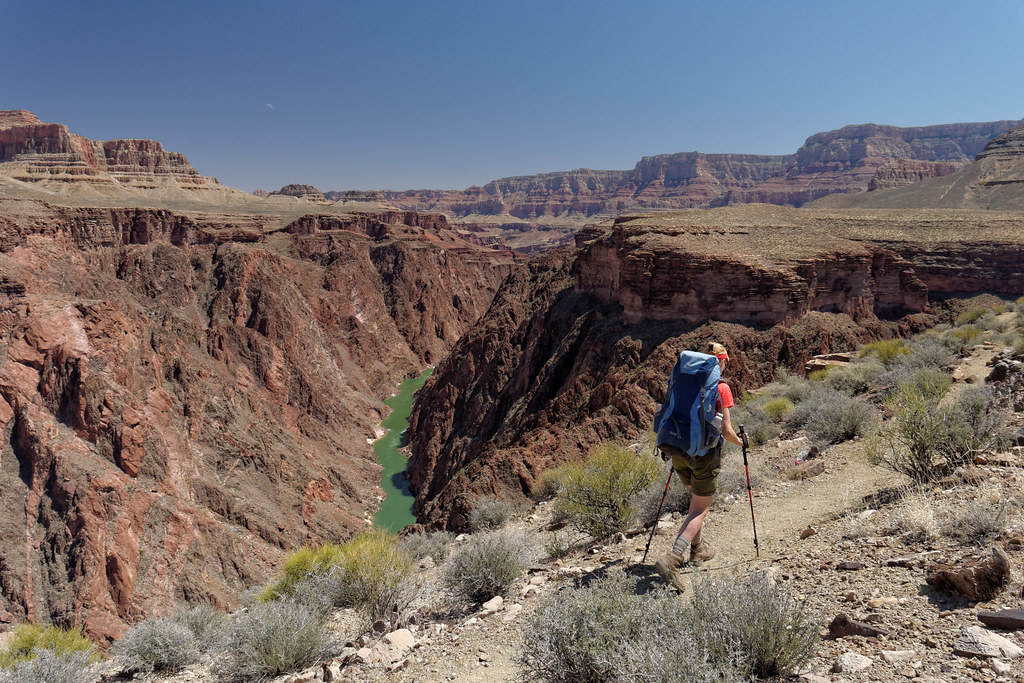
Other times it cuts inward to circumvent the many side canyons that open into the main canyon. Some of these side canyons seem almost large enough to be parks in their own right, but are largely ignored due to their relative diminutive size.
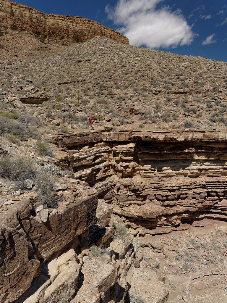
We didn’t have far to go to our next camp on Cottonwood Creek. Our plan was to take the remainder of the day to explore Horseshoe Mesa.

After we set up camp, we headed up the sometimes very steep and loose trail from Cottonwood.
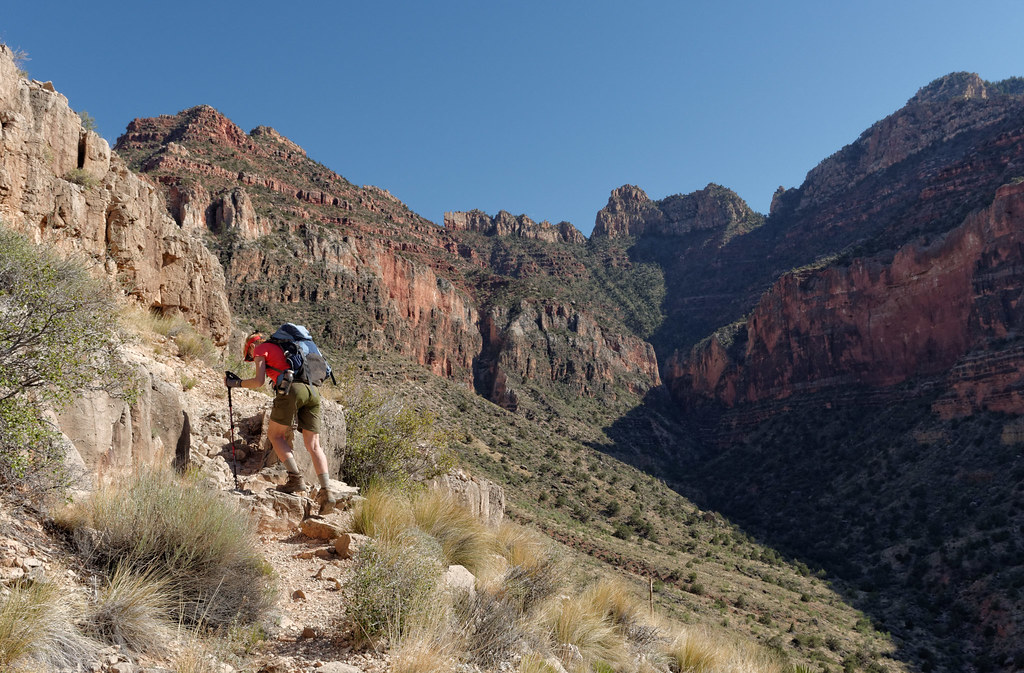
We then hiked out to the end of the east arm of the mesa for great views.

After that, we retraced our steps to the junction and took the trail out to the end of the west arm.
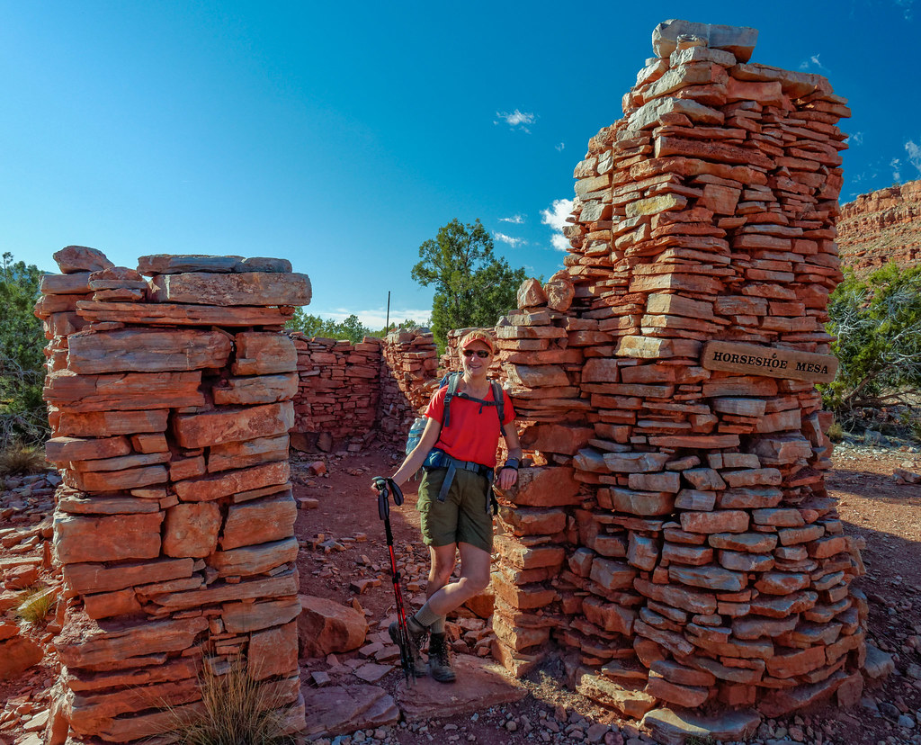
We had read that of the three ways off Horseshoe Mesa, the easiest was a well-established route that descends from the east side of the west arm. “Easy” in the Grand Canyon is a relative term. We have both been up the other two ways and know how steep and loose they can be. Taking an easier way off the mesa sounded good to my knees. It was loose, but had more switchbacks, so wasn’t as steep. I got a head start while John stopped to take photos, but I was slow and cautious, so he caught up with me without a problem.
We then headed back to our camp at Cottonwood Creek.

We did not have far to go the next day, only to Hance Creek, so we spent the morning exploring down Cottonwood Creek.

It did involve some down climbing.
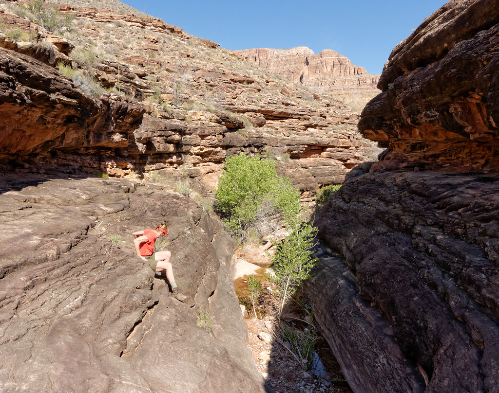
After photographing grand vistas, John enjoyed working in the more intimate setting.

John frequently does some off-trail exploring near our campsites looking for photo opportunities, and this small canyon is a good example of the value of doing so.
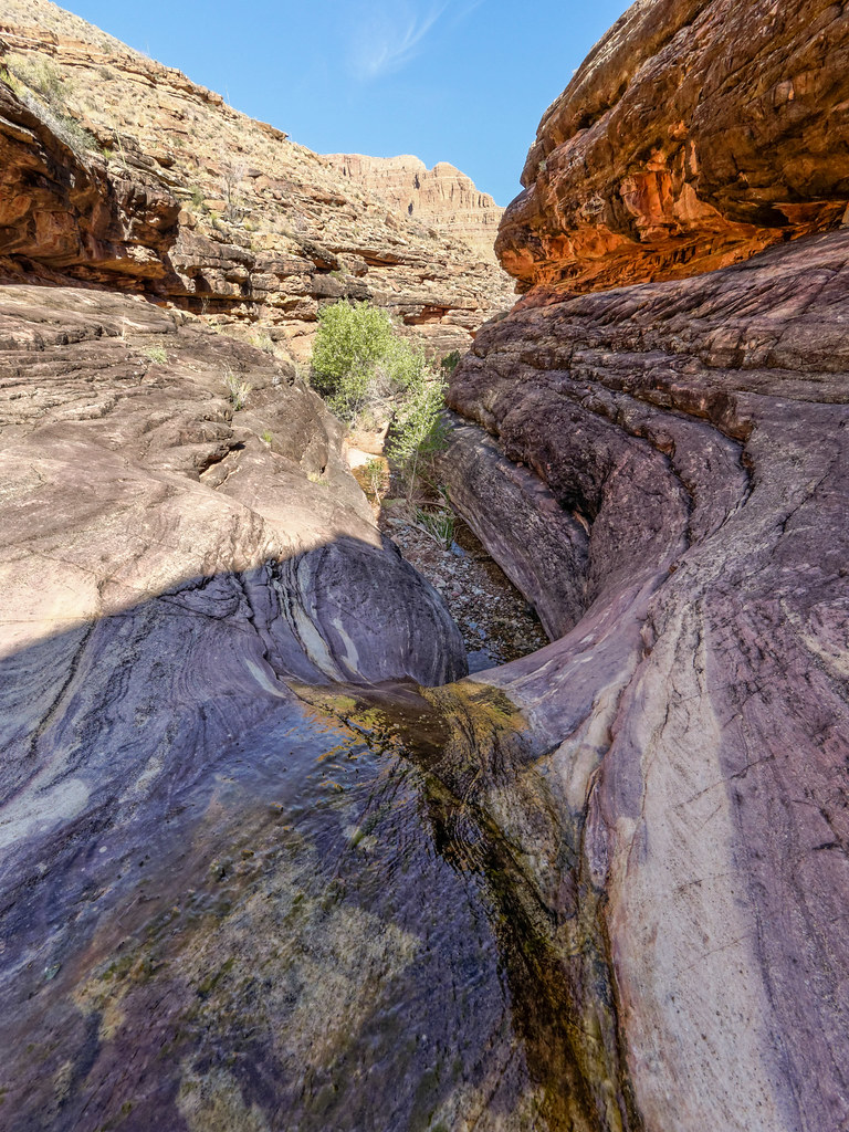
We then took the Tonto Trail around Horseshoe Mesa toward Hance Creek.

The Tonto Trail is not maintained and can be quite brushy in places, so we both sported what is affectionately known as the Tonto Tattoo.

We camped our last night on Hance Creek.
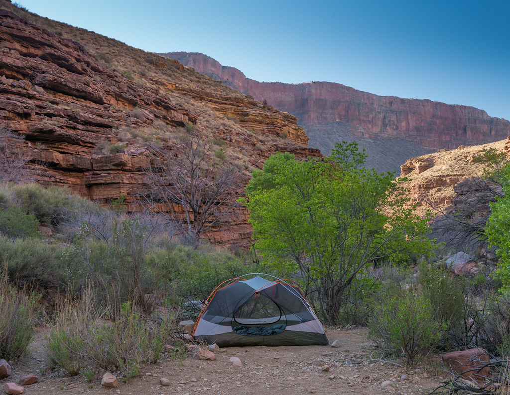
The next morning, we hiked up to Horseshoe Mesa and then took the Grandview Trail to the rim to complete the trip.

We had seen Horseshoe Mesa from the rim several times. We were happy we took the time to explore it on this trip.
All photos from this trip are on Flickr.


Leave a Reply