In April 2014, we did a seven-day, six-night trip backpacking the Tanner and Beamer Trails, the Escalante Route and the New Hance Trail in Grand Canyon National Park, Arizona. John was 61 and I was 59.
This was the second time we had been down the Tanner, and I wasn’t looking forward to it. The Tanner Trail description states that it is “extremely steep and badly eroded, with loose rocks covering the trail and creating potential slipping hazards.” When we did it in 2011, it had been murder on my knees. However, since I expected the worst this time, I didn’t find it to be all that bad.

Once the trail drops some, you begin to get views into the canyon.
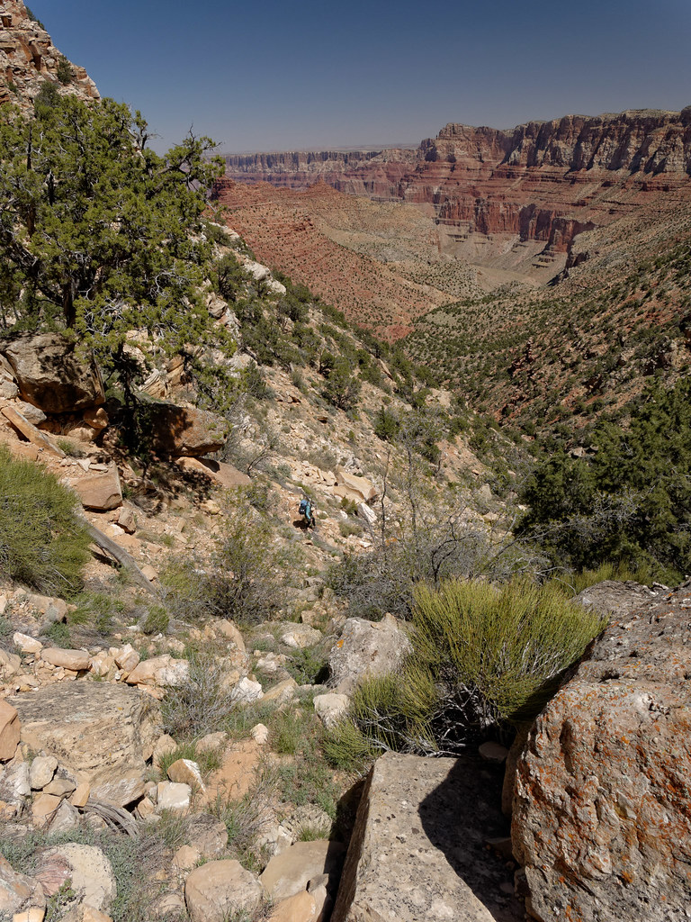
It is also possible to look up and see the tower at Desert View.

The lower we got, the better the views.
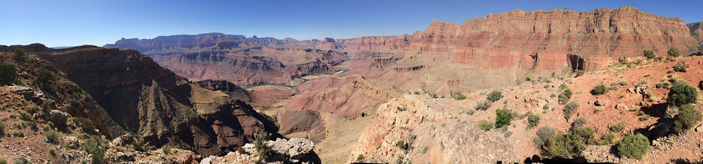
Light levels and weather conditions can vary greatly from one trip to the next, and this dramatically affects the quality of images. We had started early that day under a cloudless sky, and the light was flat when we reached this spot, one of our favorite views from the Tanner Trail.

However, when we did this trail in May 2011, we didn’t get started until noon, and the weather was unsettled. The deepening evening light combined with the dynamic sky created a much more dramatic image.
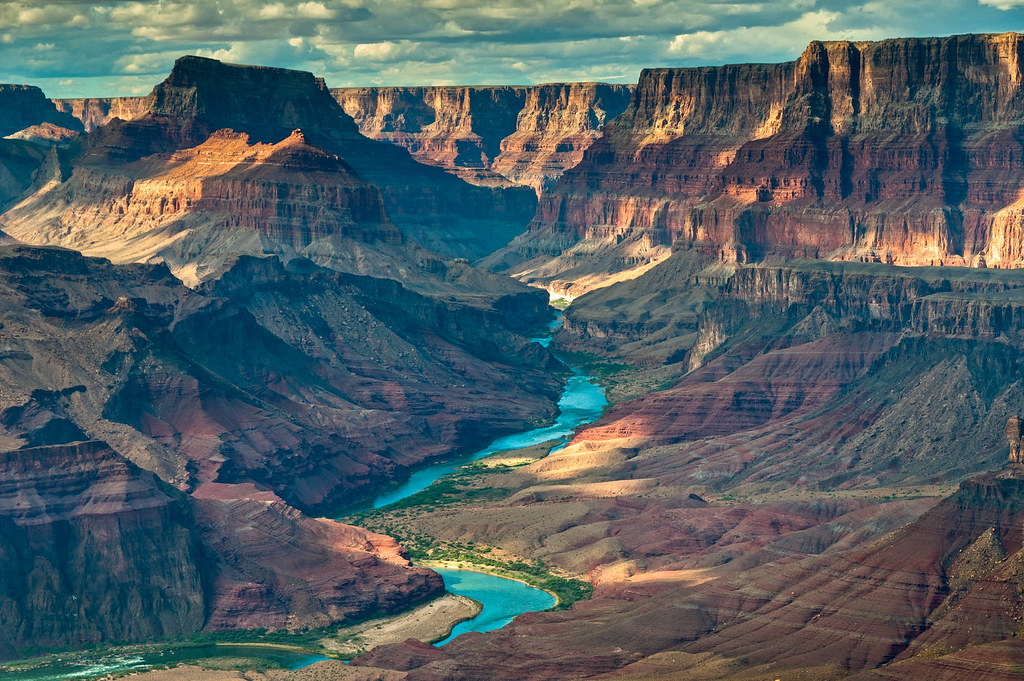
For this current trip, we knew that by starting early that morning there would be fewer good photo opportunities. However, we had farther to go this time, and we decided we wanted to get camp set up before it got dark.

… but I found myself remembering photos John had taken on the previous trip during what photographers refer to as the golden hour in the evening. However, being in that location at that time of day meant we would arrive at camp after dark, something we wanted to avoid on this trip.

Most of the lower portion of the trail is reasonably good, although there are brief sections where I needed to pay extra close attention to where I put my feet.

Eventually, the grade of the trail moderated.
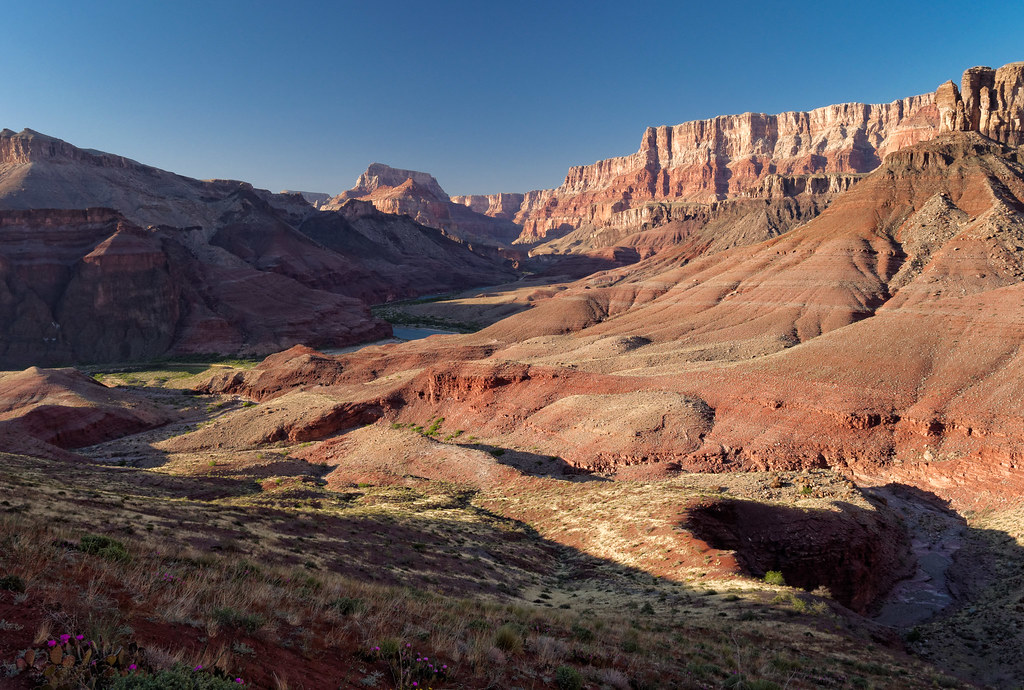
Once we hit the junction with the Beamer Trail, we headed east up the river for a short distance.

We camped the first night by the river. The next morning, we headed out and made a point of enjoying the easy, flat trail as we knew it wouldn’t last …

… once we reached the Palisades.

The Beamer Trail description states, “The trail is badly eroded, narrow, and, in places, remarkably exposed at the edge of an impressive precipice…” so I felt some apprehension. Some portions of the trail do give the sense of exposure, but it does provide great views down to the river (I’m barely visible on the cliff to the right in the photo below).

The Beamer Trail is similar to the Tonto Trail in that it encounters numerous side canyons. However, where the Tonto remains relatively level as it circumvents these side canyons, the Beamer repeatedly drops into them, then climbs up and over huge rubble piles before dropping back down and finally climbing out. It is not especially difficult, but it is very time consuming.

We were happy to finally see the confluence of the Colorado with the Little Colorado River in the distance as we then knew we didn’t have far to go.

Camping is not permitted within two miles west of the confluence, so we camped that night at the recommended site. The side trail to this site is well marked by a large cairn.

We did a day hike to the confluence the next morning.
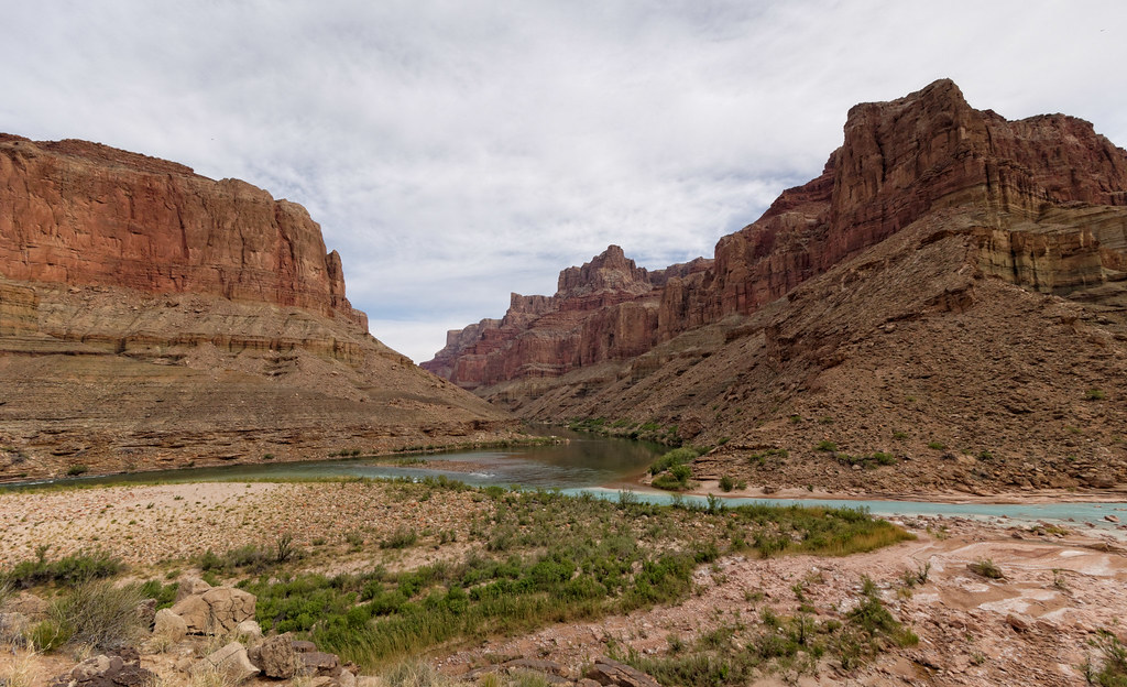
The Little Colorado River can be a lovely but improbable light turquoise blue, although it runs red after heavy rain upstream.

A highlight of this trip is seeing the abandoned Beamer cabin. Ben Beamer was a miner and prospector back in the late 1890s who remodeled an Ancestral Puebloan ruin to better suit his needs. He is responsible for the trail’s existence, so it is fitting that it carries his name. Standing within the rustic shelter, I couldn’t even imagine what it took for someone, be they miner or Native American, to live and work in such harsh conditions. It is always a humbling experience to be confronted with reminders of how soft we Americans are these days.

We then began the hike out.

There was a portion of trail we had done the previous day that had made me very nervous due to the narrowness, the exposure, and the sloped, eroded surface. John remembered it as well. On our hike out, I wanted to be sure he took some photos of me on it. We both kept an eye out for it and were quite surprised when the end of the Palisades came into view. We realized we had gotten past it without noticing.
It turned out John had taken photographs of me hiking on it, but at the time it didn’t seem to be the spot we were looking for. It just proves that over time one can become more desensitized to exposure. In our case, it only took 24 hours.
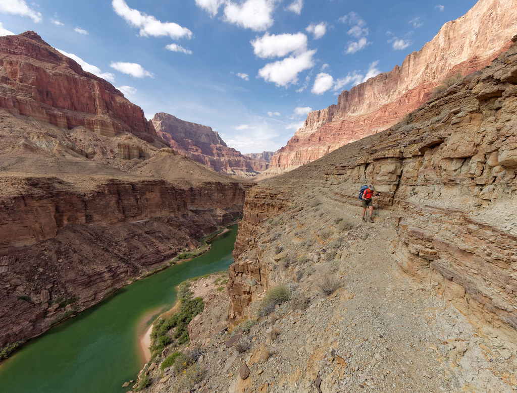
We camped that night at Palisades Creek.
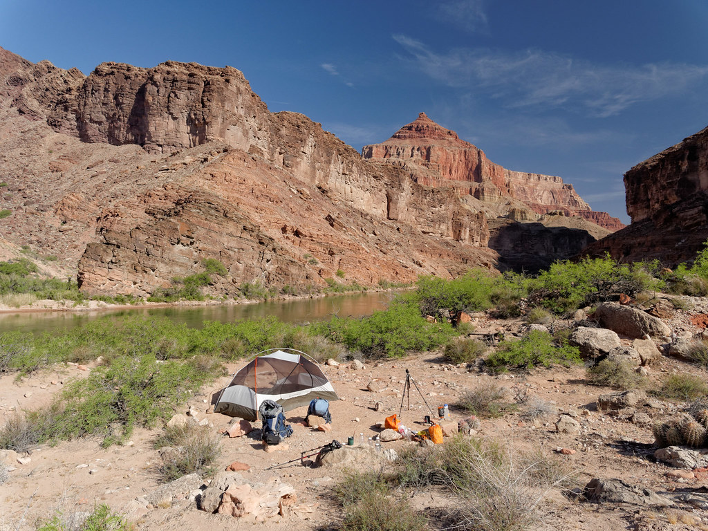
We continued on the next morning …
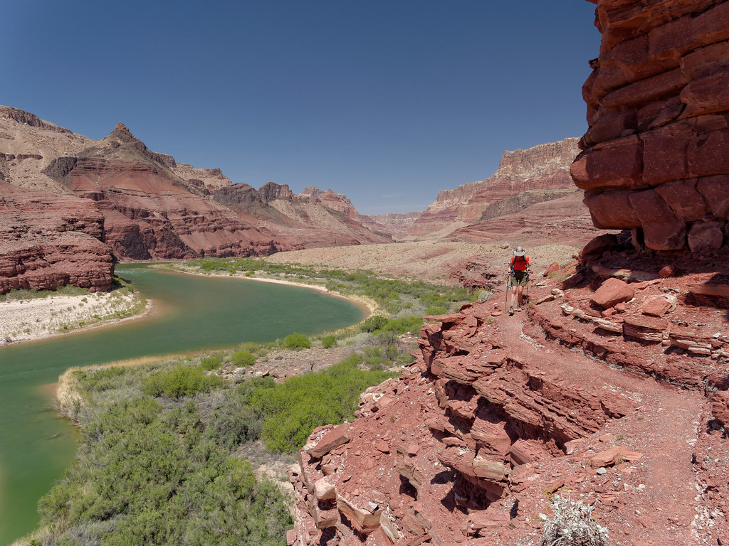
… and eventually made the final down climb …
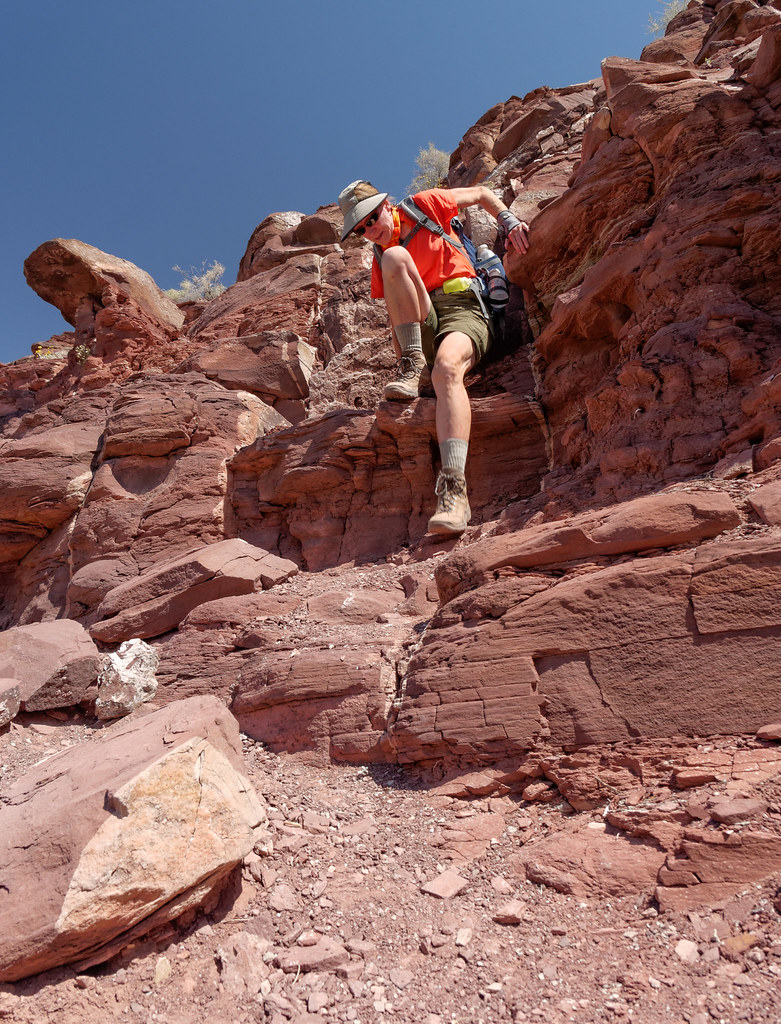
… to the luxurious sandy river bottom.

We took a break at Tanner Beach and happily made use of some shade. We both commonly wear wet bandanas around our necks to help survive the heat. However, a wet bandana feels good no matter where you put it.

The Escalante Route starts out wonderfully open and looks easy compared to Tanner and Beamer. But I knew that wouldn’t last. The Escalante Route description states “…there are many places where you will want to avoid a misstep at all costs. Some sections offer a walking surface about a boot-sole wide while traversing slopes that fall steeply away for hundreds of feet.” Reading this before our trip on this route in 2011 made me nervous. But that was my first backpack trip in Grand Canyon. I was much more experienced on this trip. Over time, I have become more desensitized to the wide variety of trail conditions one encounters while hiking in the canyon.

When hiking the Escalante Route from Tanner Beach to Red Canyon, one’s daily mileage is dictated by where there is access to water. Because of that, this day was a short one. We only had to go as far as Cardenas Creek.
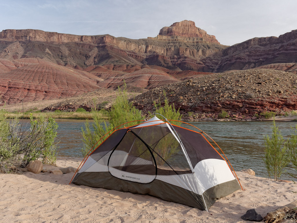
The Colorado River is frequently a muddy red, but every time we have done a backpack trip where we had to get our drinking water from the river, it has been clear and green. It provides a lovely contrast to the surrounding area.

It was commonplace to see lizards …

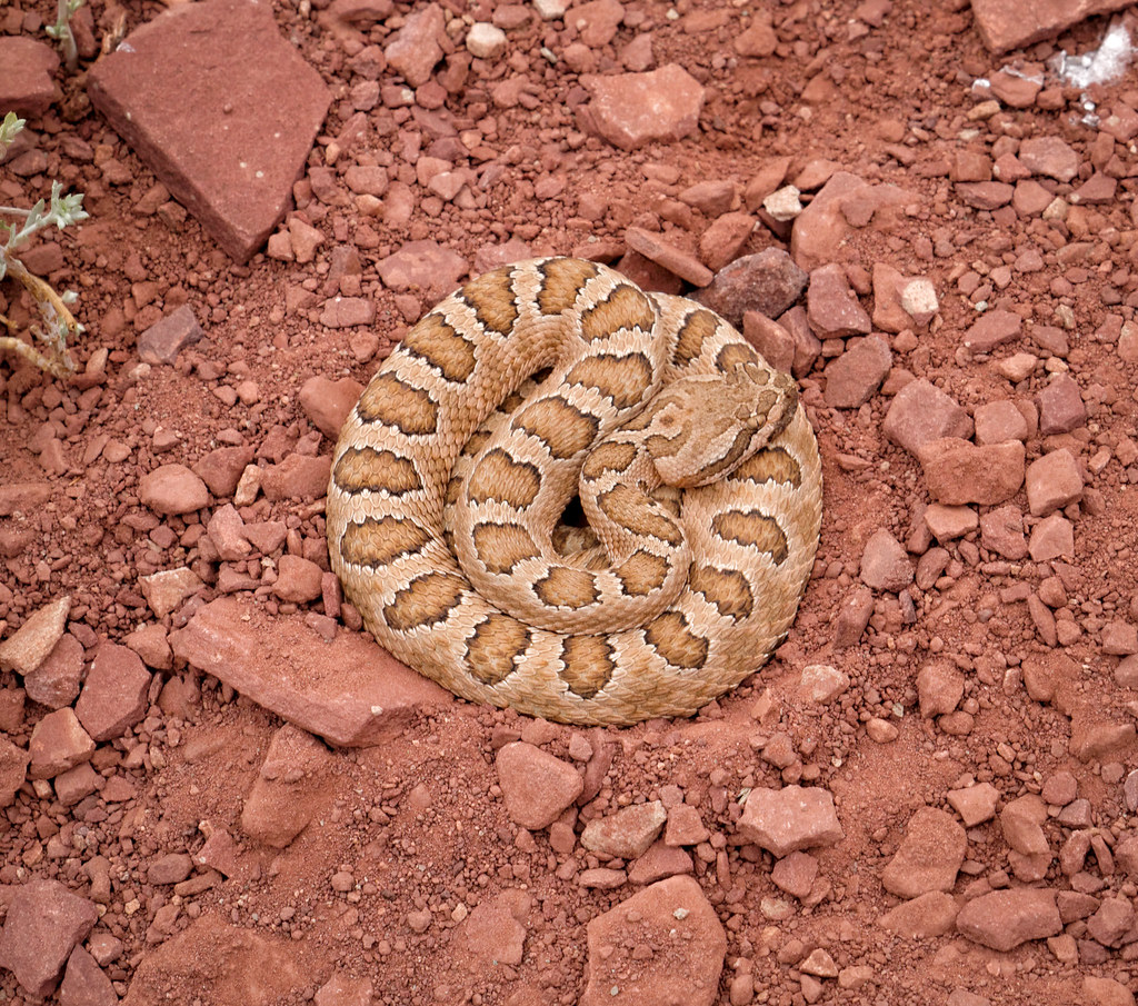
… but this is only the second snake I have ever seen in the canyon. It was neatly coiled in the middle of the trail. As I always watch my footing carefully, I saw it well before getting dangerously close. I gave it a wide berth and then waited a distance away for John to catch up (he had stopped to take photographs).
John has a trail runner’s second sense of trails and does not need to watch his footing as carefully, so I knew he could easily miss seeing the snake. As he got closer, I called to warn him. He looked around for it, but I could tell he didn’t see it and was dismayed as he kept walking. I yelled “Stop! Don’t move until you see it!” He finally located it; he had been looking off to the side of the trail instead of directly in front of him. He, of course, spent time photographing it. As he had a tripod along, he was able to maintain a safe distance and still get his camera reasonably close.
We continued on and reached the edge of Seventy-Five Mile Canyon. We could look down to its mouth and where we would end up for the day.

But first we needed to hike toward the beginning of the canyon in order to find the way down into it (I am barely visible on the canyon edge to the left in the photo below).

The route is quite steep in places, but the rock is grippy and not difficult.

There are a few pour-overs along the way, and some are more fun than others to negotiate.

We eventually reached the bottom of the canyon, and it was easygoing. The shade and cooler temperatures were much appreciated.

We set up our camp near the river.
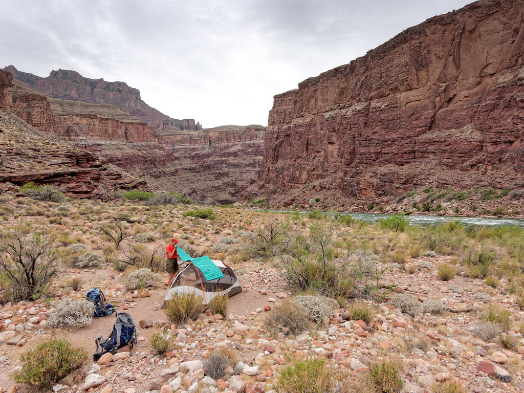
We had checked the extended forecast prior to starting this trip, and it seemed okay, so we had made the decision to leave our tent fly at home to reduce pack weight. However, we began to question that decision when we noticed the grey clouds moving in.
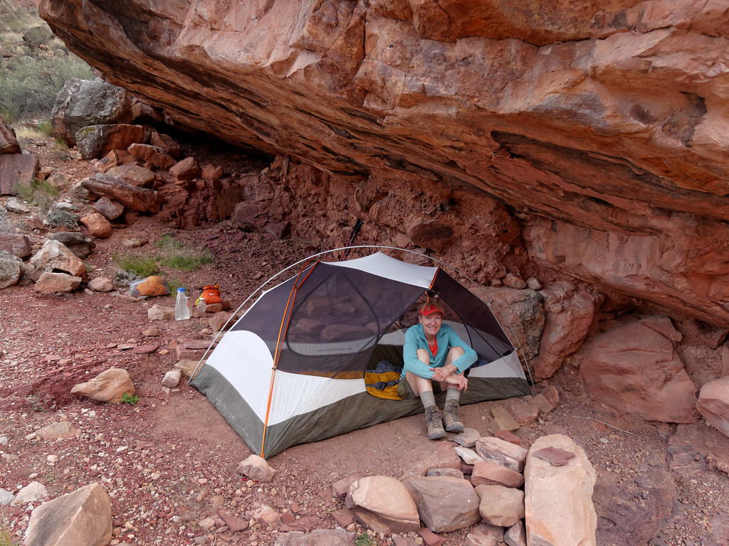
Not long after we had gone to sleep, it started to drizzle and the raindrops on our faces woke us up, so we moved camp. Fortunately, John had scouted out the area and had found a site upstream under a ledge that would accommodate our tent. I don’t think it ever actually rained very hard, but we both slept much better knowing we’d stay dry.

The next morning, we continued on downriver. Looking ahead, it was hard to figure out where our route was. We knew we would drop down to the larger beach at Papago (visible in the photograph below) and then climb over the outcrop in order to reach the small beach further downriver.

We followed the route and climbed up a bit. After dropping down to the beach at Papago Creek …

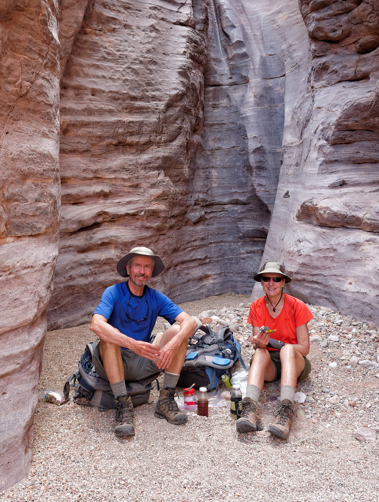
… we decided to take a break in the shade of the shallow slot canyon.
We then made our way up the infamous Papago Ledges, which are about 35 feet high. As I had done this before, I knew it looks worse than it actually is.

There are secure handholds and footholds and well-spaced resting spots, so the climb up is not fatiguing. John went up before me. I carried my pack most of the way up, but boosted it up to him before climbing up the last bit.

From the top of the outcrop, we could look down at the river and see our route well below. We could also see the aptly named Red Canyon downstream and where we would leave the river to head up the New Hance Trail.

But getting to the top of the outcrop is only part of the fun. The route descends back to the river through an equally infamous Papago Slide. The steep gully is filled with rock ranging in size from small loose gravel to large boulders. John went first, and I always waited until he was no longer directly below me before moving. It was far too easy to dislodge rocks.

After the loose rock nearer the top, it was almost a relief to get to the slightly more stable boulders.
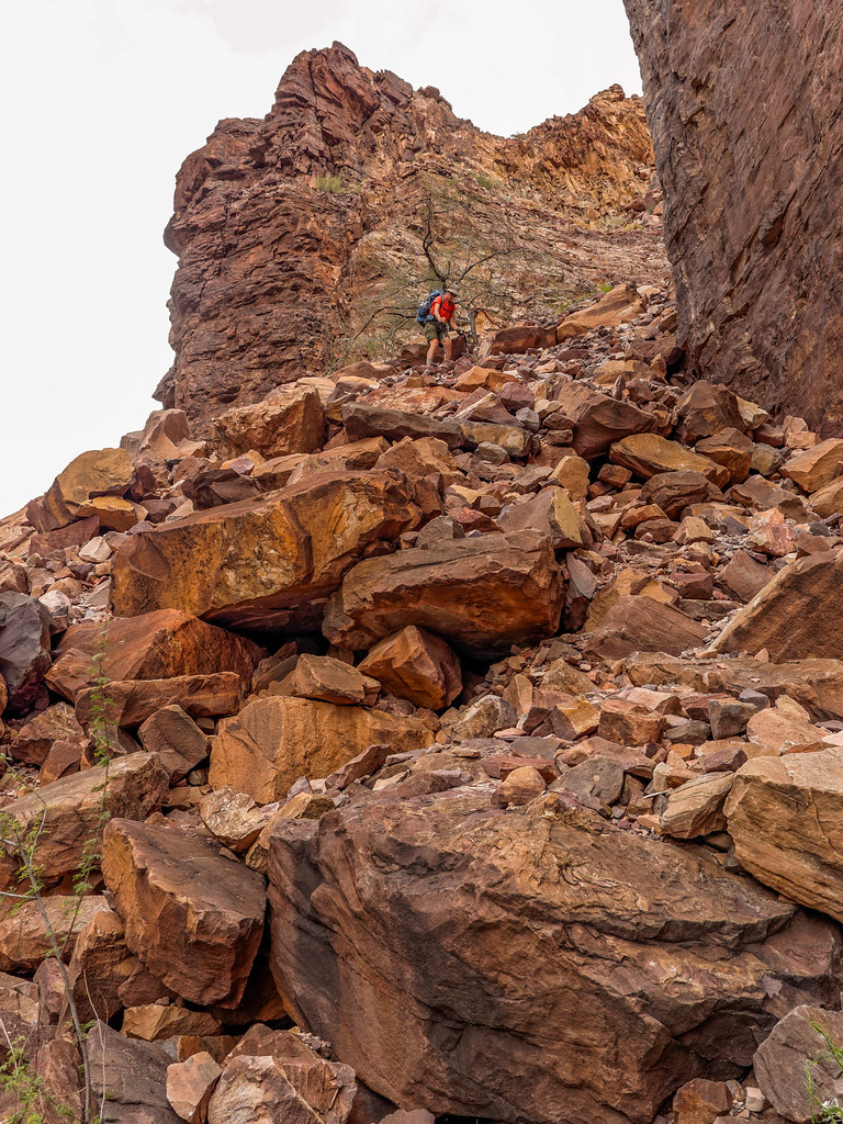
We were careful and got down it without a problem and continued down the river.

Once we got to Red Canyon, we knew we had two options. We could camp next to the river and have unlimited water or head partway up the New Hance Trail and dry camp. Then it began to drizzle. We found some protection in trees near the river, but it would not keep us dry if it rained in earnest. After cooking and eating our supper, we decided to continue on.

It continued to drizzle a bit, and we kept an eye out for a ledge large enough to set up our tent under. I was getting a little uneasy, but then we found a great established site under a substantial rock. Again, I don’t believe it ever rained in earnest, but it was nice to sleep without worry and be guaranteed that all of our gear would remain bone dry.
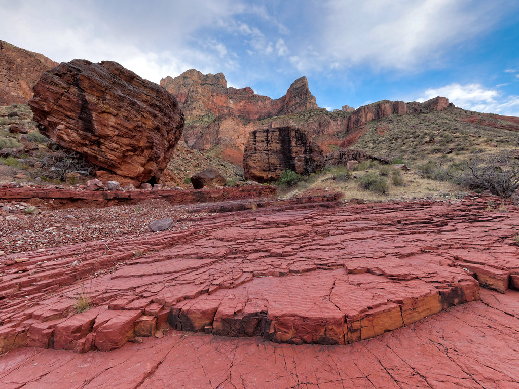
Fortunately, the weather became dry enough for John to go out that evening and take photos.
It turned out there was a water source a short way up the canyon—a spring as well as some potholes.

As New Hance is a relatively short trail, we enjoyed our customary leisurely morning.
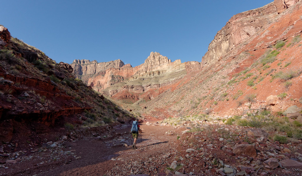
The more elevation we gained, …

… the better the views.

The trail description for the New Hance Trail states that it “may be the most difficult established trail on the South Rim of the Grand Canyon.” It has its moments, but so does every other trail out of the canyon beyond the corridor trails.

And just like every other trail in the park, it is satisfying to look back and see how far you have come.

All photos from this trip are on Flickr.


Leave a Reply