In May 2011, we did a four-day, three-night backpack trip in Grand Canyon National Park, Arizona. We started on the Tanner Trail, continued on the Escalante Route and ended with the Grandview Trail. Our son, Dan, went with us. John was 58 and I was 57.
This was our first backpack trip in Grand Canyon. I was excited, but I was also nervous. The Park Service provides trail descriptions, and I read all of the ones for the trails we would be on. The one for the Tanner Trail says things like “The Redwall descent is nasty—steep and loose. A thin coating of gravel makes some slipping and sliding inevitable and a serious fall is a real possibility.” The one for the Escalante Route describes a “… talus-filled runnel … known as the Papago Slide. This gully seems dangerous—steep, with lots of big boulders in precarious balance.” John named these trail descriptions “Worry Papers.” We have called them that ever since.
It didn’t help that after applying for a permit to do this trip, we got a letter from the Park Service. It was a form letter asking us to rethink our itinerary. It explained that trips such as the one we had planned “too often result in injury and occasionally even death.” We were required to provide more information about our experience and acknowledge that we had been fairly warned to be issued a permit. We planned to hike out via the Tonto Trail and continue up on the Grandview Trail, which is about 12 miles. The Park Service wanted us to take the much shorter New Hance Trail. We later learned that at that time, the Park Service sent out this letter when an itinerary included a day of more than ten miles. It is affectionately known as the “You’re gonna die!” letter.
So, yeah, I was nervous going into this trip. We got a late start that day, but we were going downhill, so we were not initially concerned. However, the first part of the Tanner Trail is quite steep. Either there are large step-downs or smooth sections covered in ball-bearing-like rocks. It was slow going. Fortunately, it moderated some as we continued our descent.

The views were gorgeous!

However, our late start proved to be a huge advantage for us. We decided to take a break partway down. The unsettled sky …
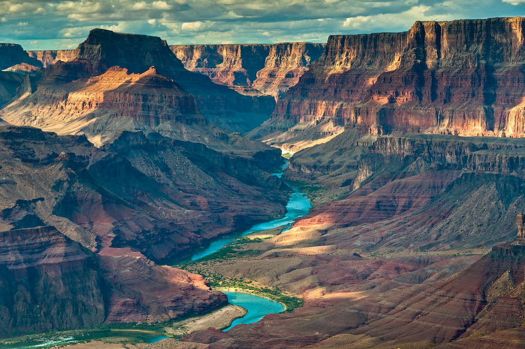
… and the lower angle of the sun created some dramatic photographic opportunities.

This photo became one of our favorites, and it occupies a prominent location in our house.
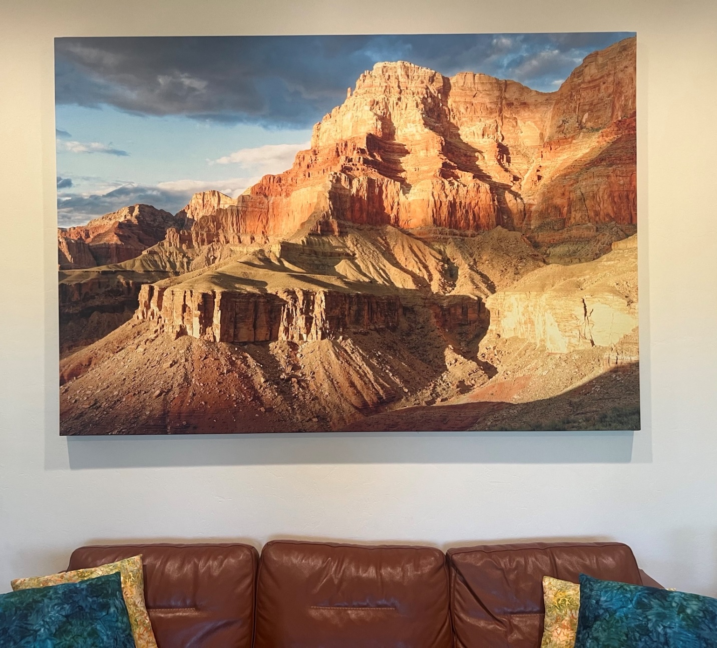
We spent so much time there that we finished the day’s hike in the dark. It was a bit challenging to find a suitable spot to put up our tent in the dark, but it was well worth it for the photos John got.
When we woke up the next morning, we got our first look at our surroundings.

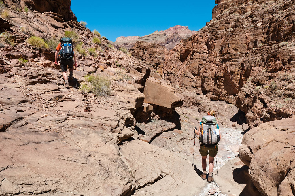
My knees were still sore from the previous day’s steep descent, but the Escalante Route is relatively flat.

We needed to get to the river, where we would camp that night, but we had some brief route-finding issues.
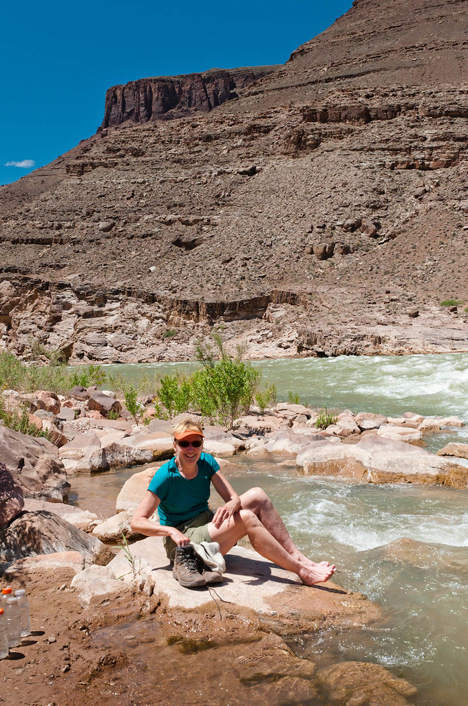
Once we made it to the river, my feet were in for a treat!
When we reached Seventy-Five Mile Canyon, we didn’t go around it, …

… we dropped down into it.
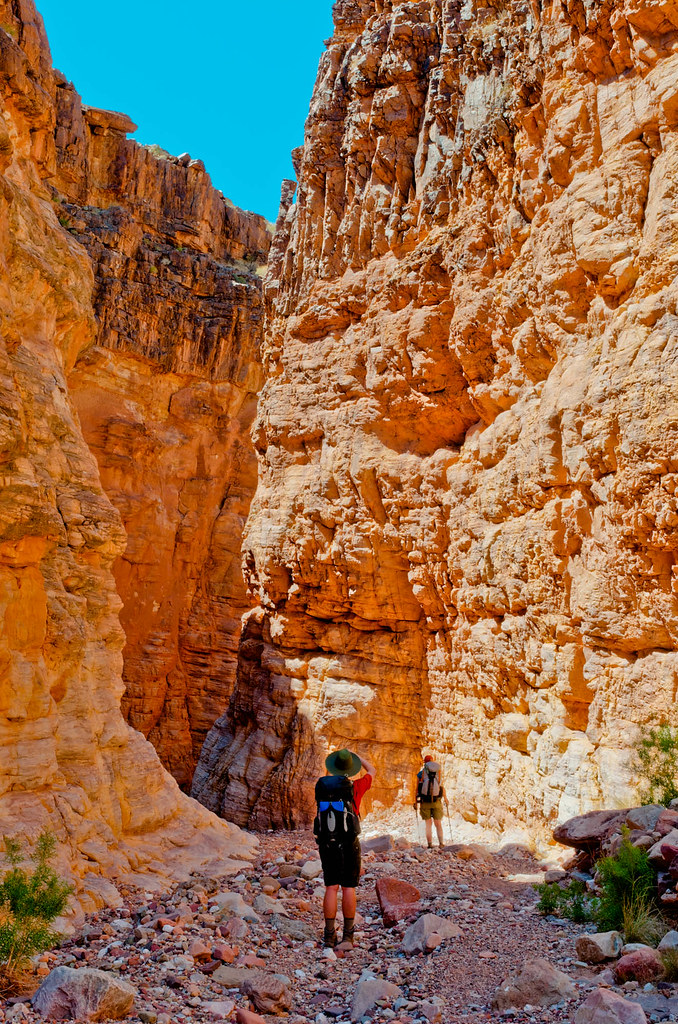
The narrow canyon brought us back down to the river.
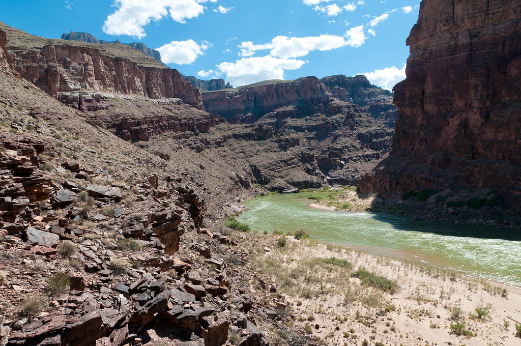
We then encountered one of the obstacles I had read about in the Escalante Worry Paper—the Papago Wall. It proved to be easier than I had imagined, but I was still relieved once I was at the top. However, I had another obstacle to look forward to—the Papago Slide.

It was everything the Worry Paper had promised it would be—“… steep, with lots of big boulders in precarious balance.”
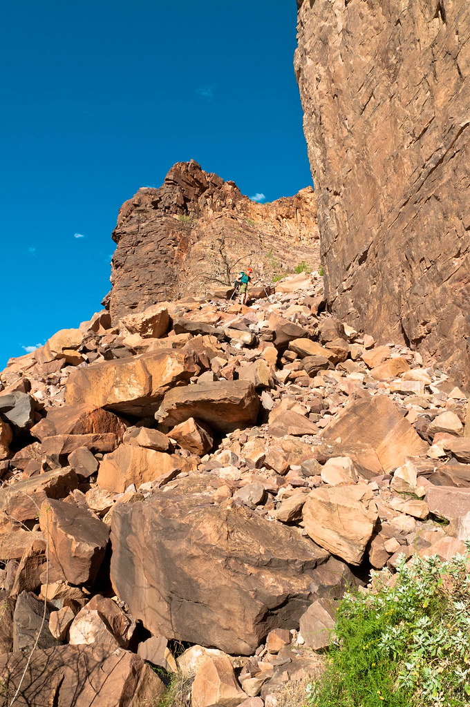
I was extremely relieved when all three of us were safely down the Papago Slide and back to the river.

Once we reached the junction with the Tonto Trail, it was time to begin our long ascent.

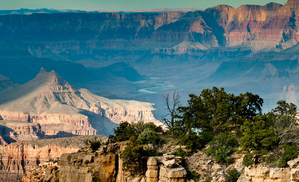
Once we reached the junction with the Grandview Trail, it was time for the ascent to become much steeper. But on a backpack trip, it is always a good idea to stop periodically and look back …

… and marvel at how far you have come. It was a long day. We were all extremely tired when we finally reached the trailhead, but nobody died.
So, yeah, I was nervous going into this trip. But I did it and gained a lot of self-confidence. This trip was the beginning of a long-term relationship between us and the canyon. Between 2011 and 2018, we hiked every named trail and route documented by Grand Canyon National Park. Yes, I have read every Worry Paper, and we have received more You’re Gonna Die letters. My knees still don’t like Tanner, and descending the Papago Slide still makes me nervous. But there is something about backpacking in the Grand Canyon that makes it all worth it.
All photos from this trip are on Flickr.


Leave a Reply