This trip was an easy one: four days and three nights backpacking down the Thunder River Trail from Indian Hollow to Deer Creek. John was 65 and Jean was 63 (but soon to turn 64). We had done the Thunder River/Tapeats Creek/Deer Creek Loop in 2011. However, on that trip we took the shorter, steeper Bill Hall Trail.
This trip had a great deal of significance for us. We had been working on a project to hike every trail or route listed in a Grand Canyon NPS publication (which includes maps, brochures and trail descriptions). We had just one more to do! The Thunder River Trail from Indian Hollow to the junction with the Bill Hall Trail.
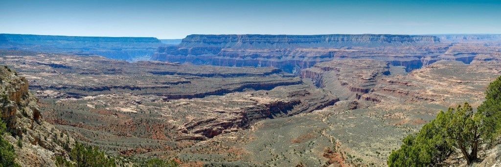
This trail starts with a short hike through some woods to the rim where hikers are presented with an expansive view.
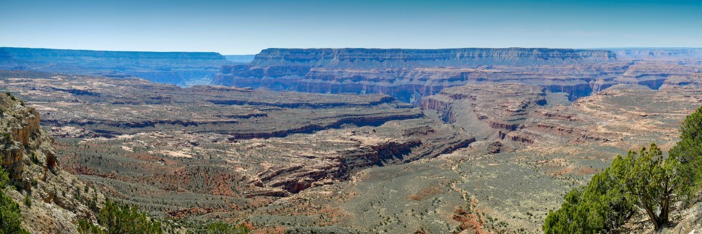
After dropping a bit, the trail begins a long traverse, but it doesn’t last. The Grand Canyon NPS Trail Description states, “The historical point of access to the esplanade was via the gentler but longer Thunder River Trail.” What it fails to mention is that the trail must still drop through the Coconino layer of rock, and that typically means a steep, loose descent.
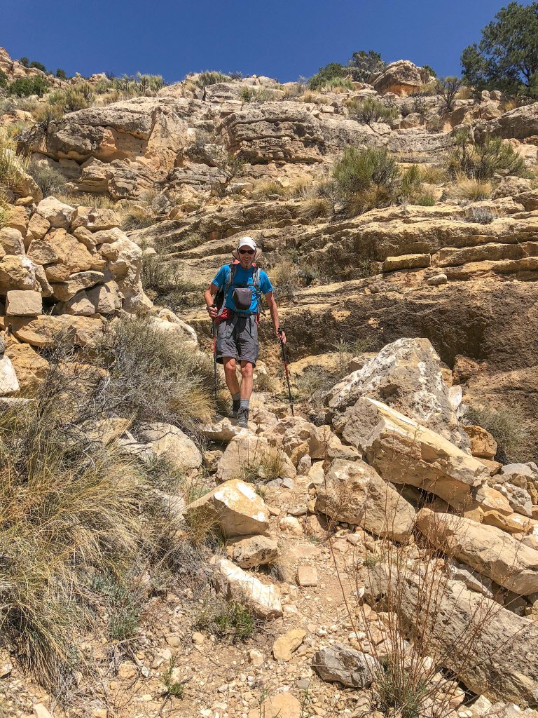
Once through the Coconino, the trail makes a sweeping traverse back toward the Esplanade.
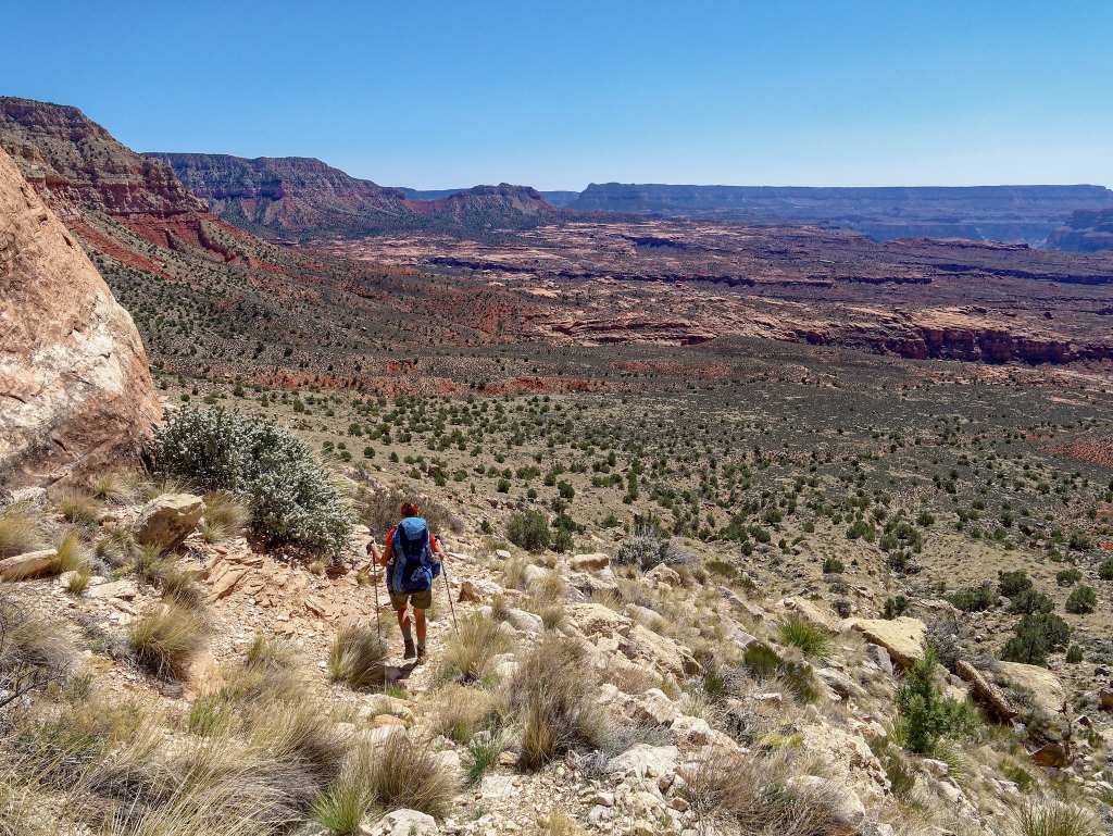
We found the hiking quite easy after our experience on the more remote Tuckup Trail and Route.
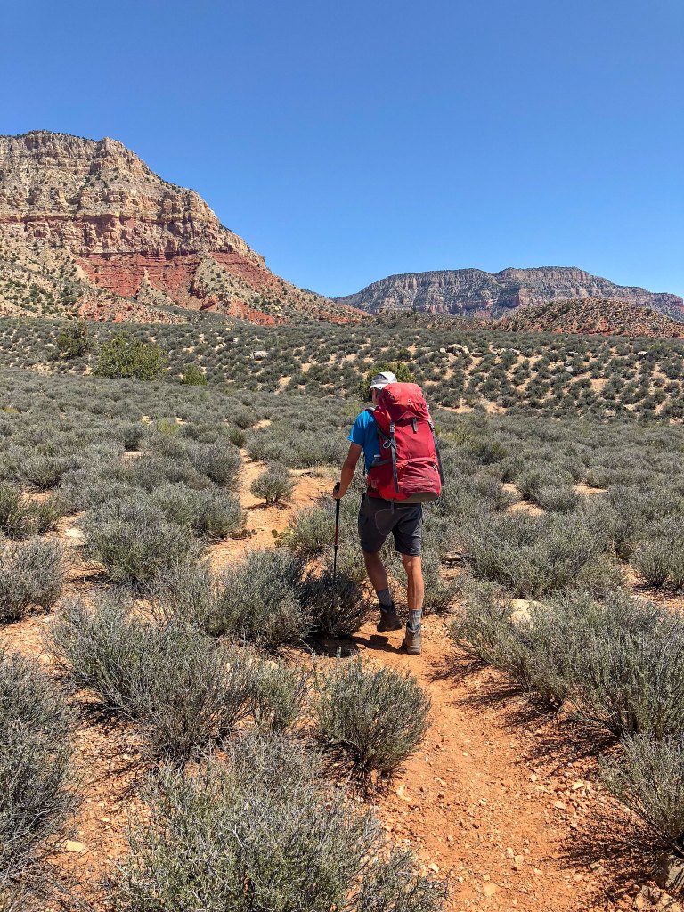
I remember the first time we saw the Esplanade on our previous Deer Creek trip and fell in love with it. We both love the open expanse of the “shelves” in Grand Canyon—the Tonto Platform and the Esplanade—which are situated below the rim and above the river. I wondered if all the time we spent on it while doing Tuckup would somehow diminish this experience for me.
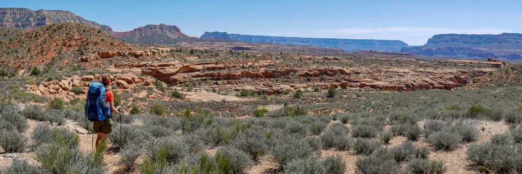
However, I needn’t have worried. It was just as beautiful as I had remembered, and this part of the Esplanade somehow seemed “softer” and more welcoming to us than where we had been on our two preceding trips.
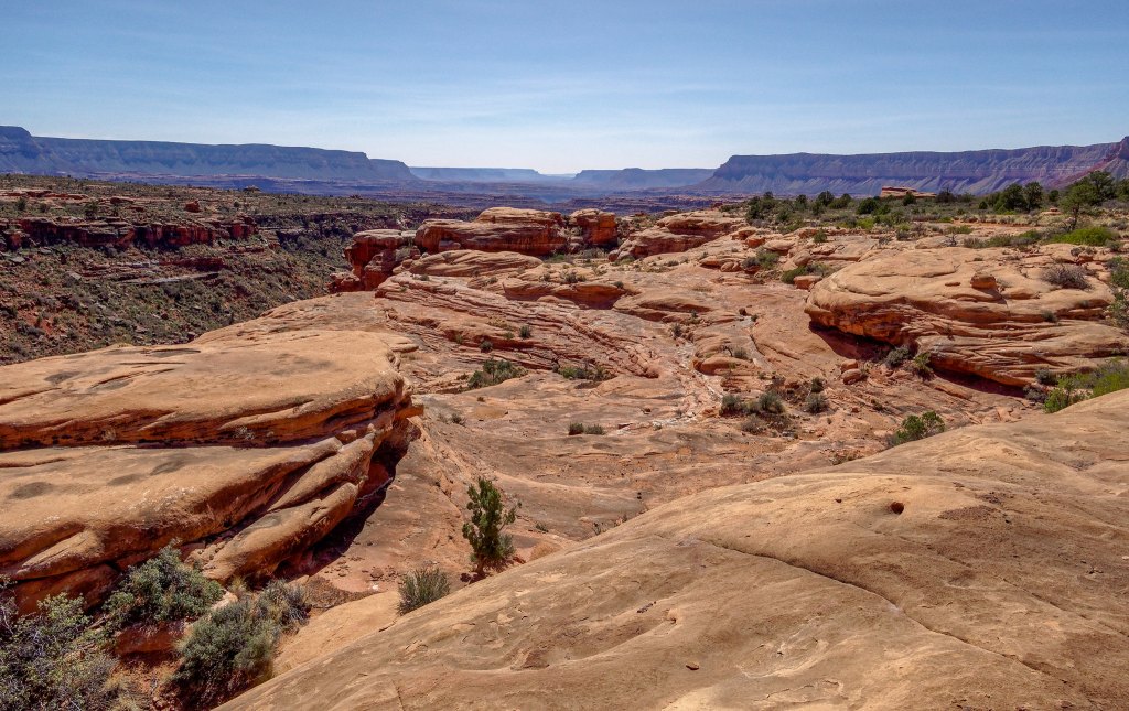
We planned to dry camp somewhere on the Esplanade that first night …
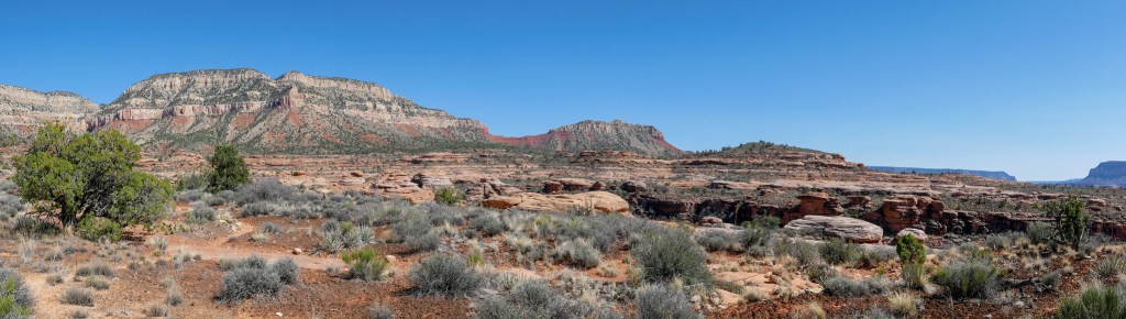
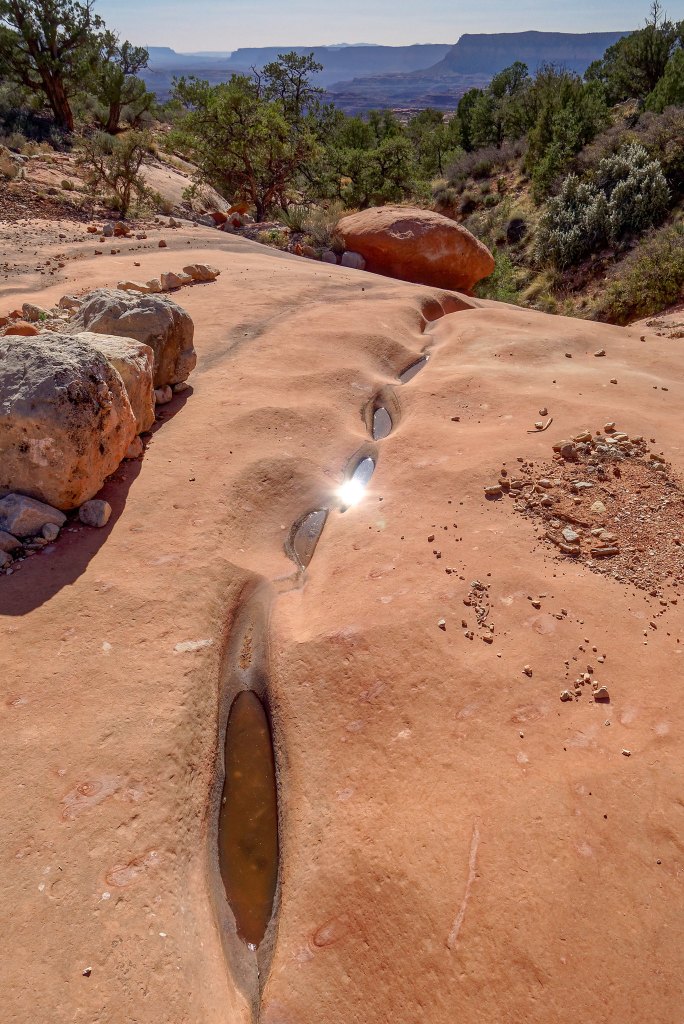
… and we were both carrying extra water. While we had been forced to rely on potholes on Tuckup, we did not think it was wise to count on finding any on this trip.
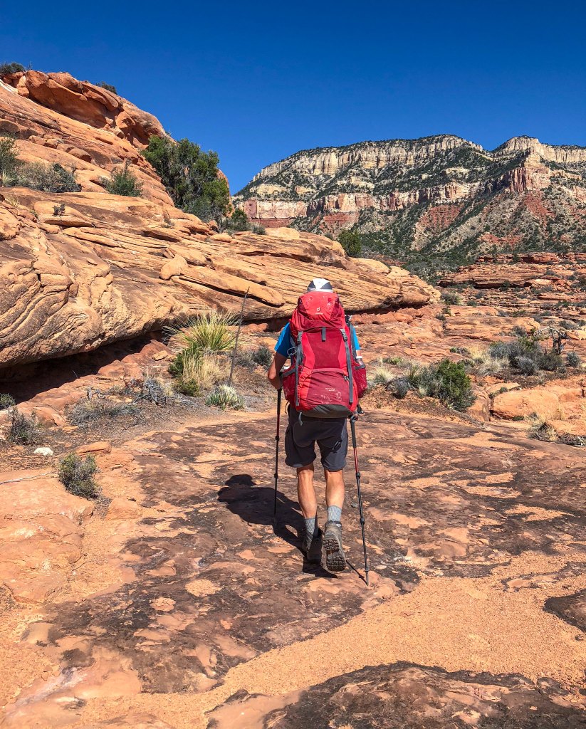
However, we did find a few small murky pools of water. We would camp on the Esplanade again on our last night out as we had on our past trip. On that trip we had cached water on our way in but our plan this time was to carry what we needed for the last night up from Deer Creek. We reasoned it would be “good conditioning”. We briefly considered collecting and caching some of the limited pothole water we encountered “just in case” but decided against it. Hopefully, we would not regret the decision.
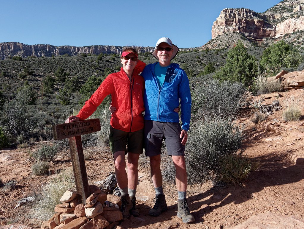
Once we reached the junction with the Bill Hall Trail, we had completed our goal. We had hiked every official trail and route in a Grand Canyon National Park !
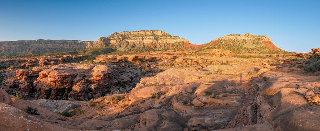
One of the many reasons we love to backpack is being able to be in places like this in the golden evening light.
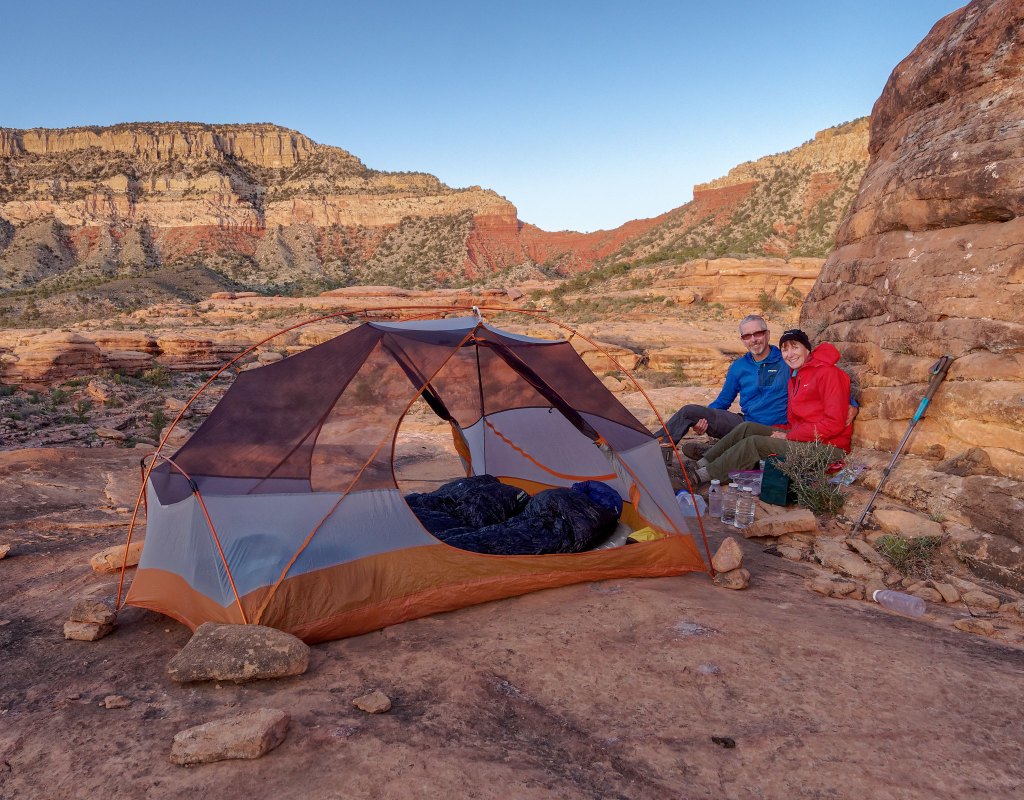
Even after all the nights we had recently spent camping on the Esplanade while hiking the Tuckup Trail, it was a treat to get another one.
The next morning we headed out …
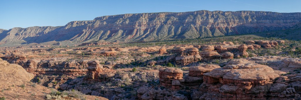
… and passed unusual rock formations.
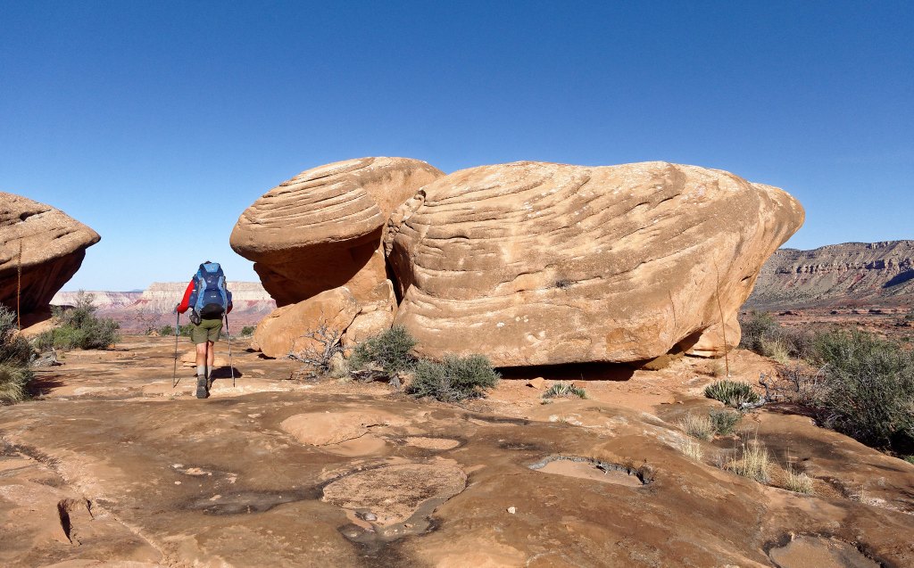
Looking to the east, we got a glimpse of the Colorado River above Tapeats Creek.
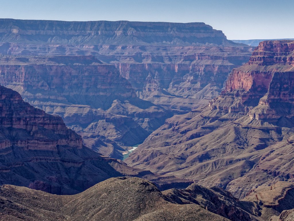
From the Esplanade the trail drops down …
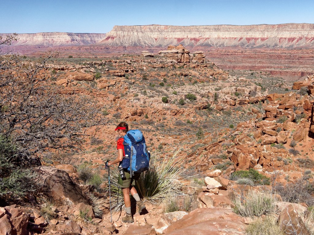
… to an area now known as “Surprise Valley.” However, apparently the Deer Creek area originally bore that name, but a cartographer’s error moved the name further east to this open area where the only surprise is that it is not a valley.
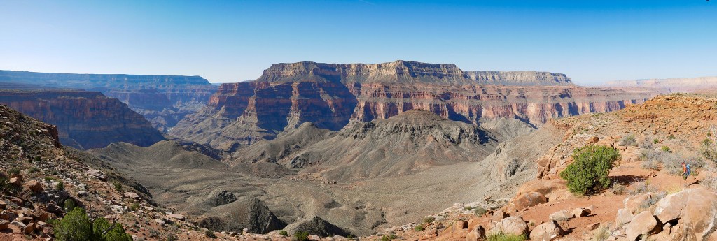
But for lack of a better name, we still call it Surprise Valley.
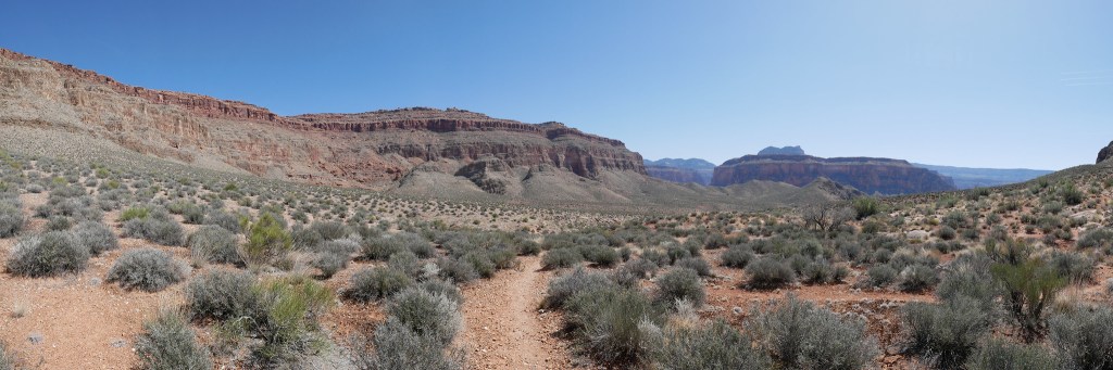
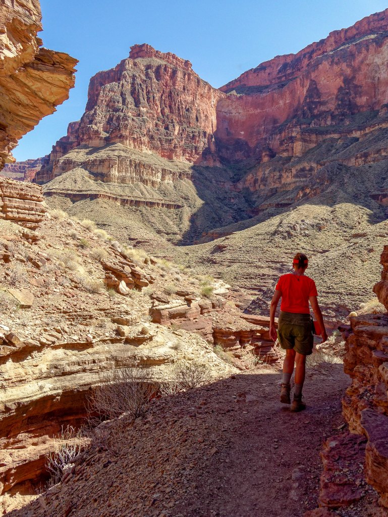
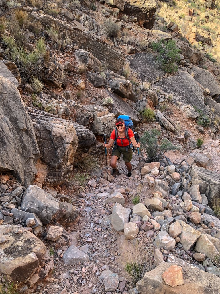
Eventually, the trail begins its steep descent toward Deer Creek.
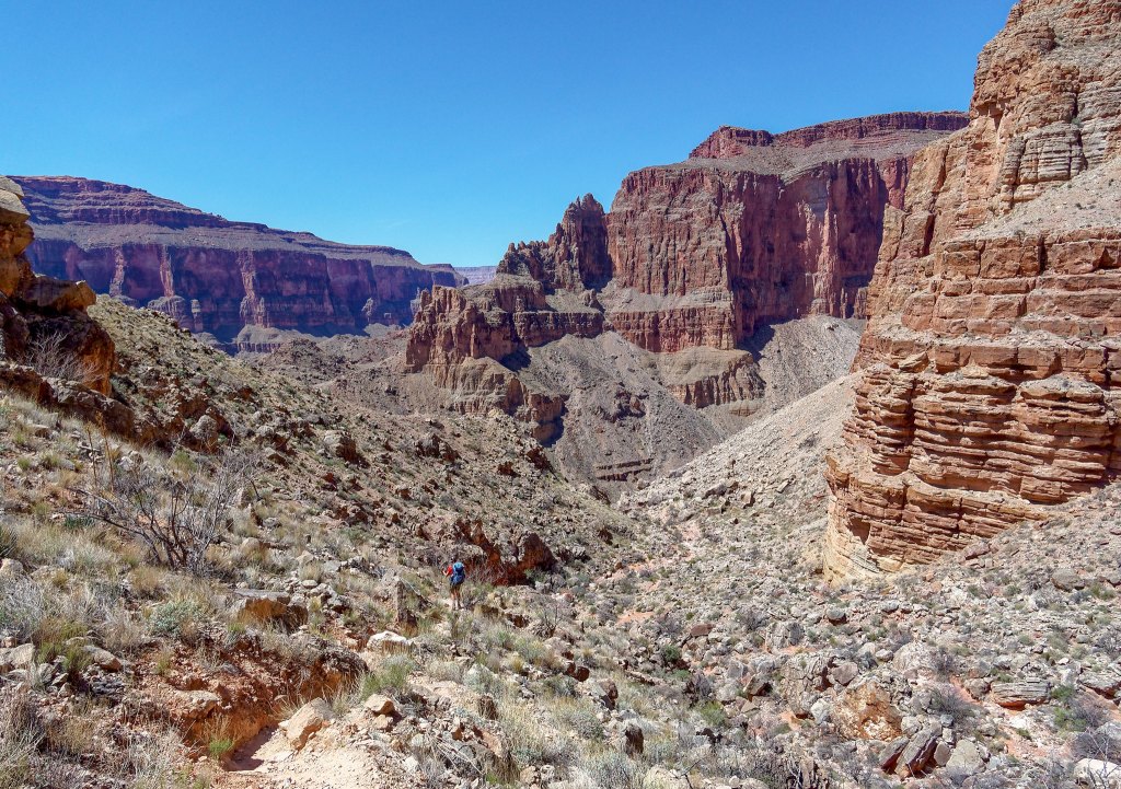
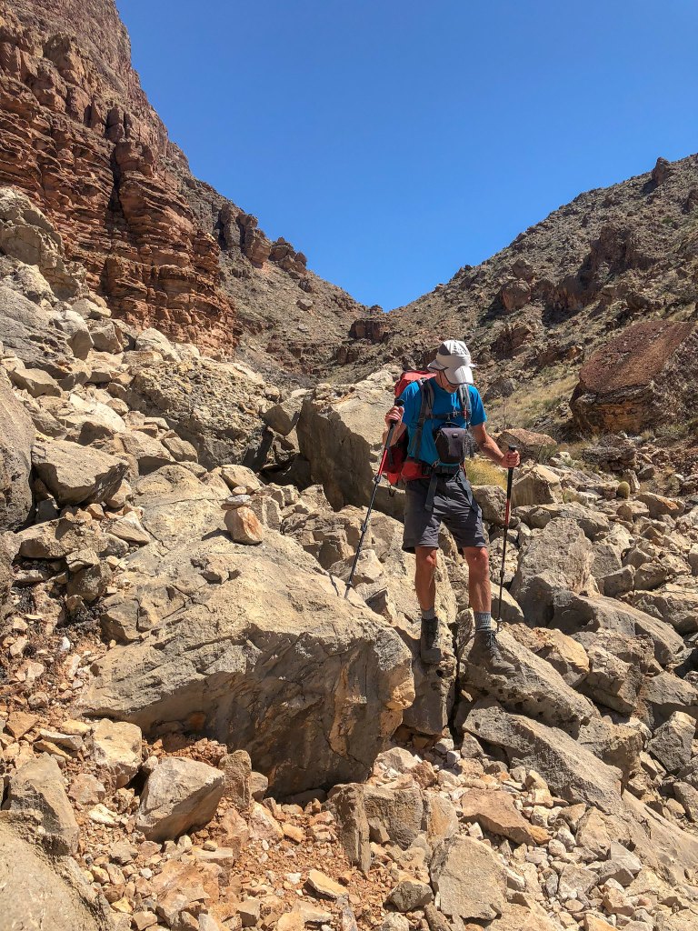
As we slowly made our way down a steep, rough trail, I began to question our decision to carry extra water back up for a dry camp on the Esplanade the following night. But like we kept telling ourselves, it would be good conditioning.
We began to get views of our destination, the green trees growing along Deer Creek.
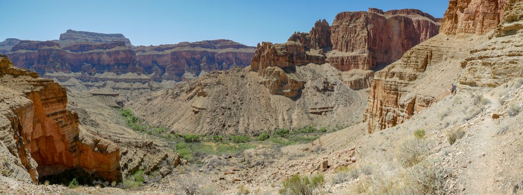
We had gone up this trail before and would be going up it again the following day, which would be an improvement as I prefer going up it to going down it.
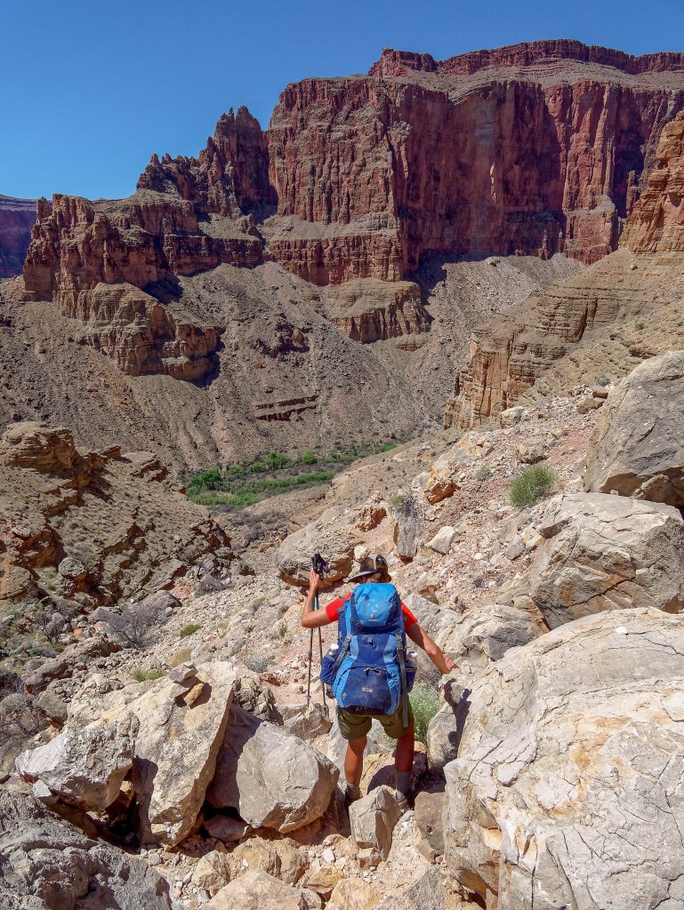
It had been seven years since the last time we were on this trail, and I simply didn’t remember it. I think it is because we don’t have any photos of us on the actual trail. John was more focused on landscapes, and I didn’t carry a camera or iPhone back then. Our trip reports have evolved since then and I now make a greater effort to show what a trail is really like, so we both make a point of taking more photos of actual trail conditions.
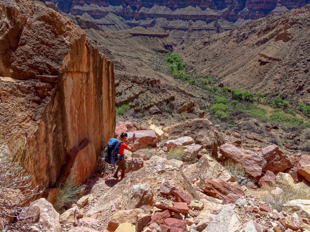
It had become quite warm and the trees below looked more and more inviting.
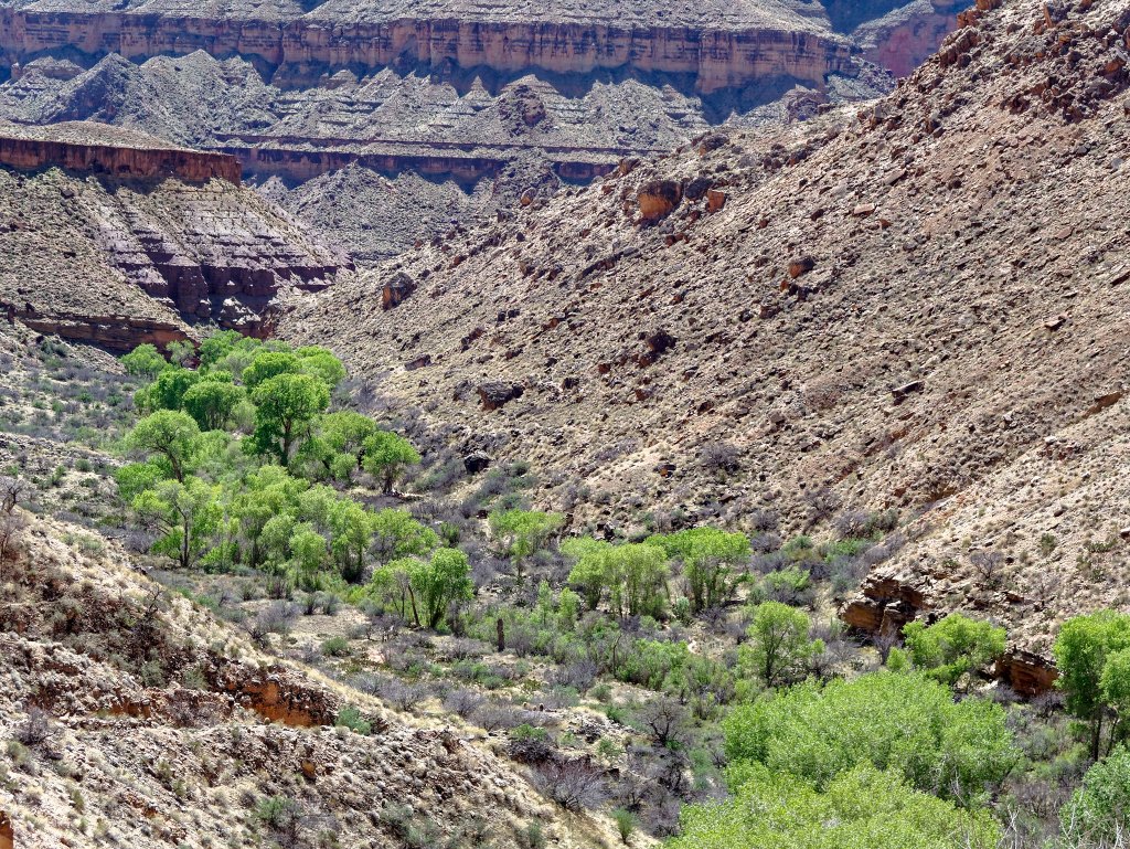
Once on the canyon floor, we made our way through the thick vegetation …
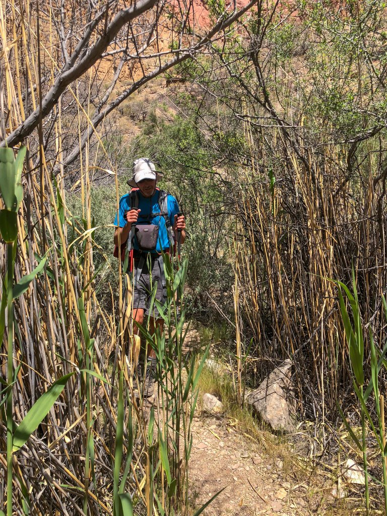
… and crossed the creek.
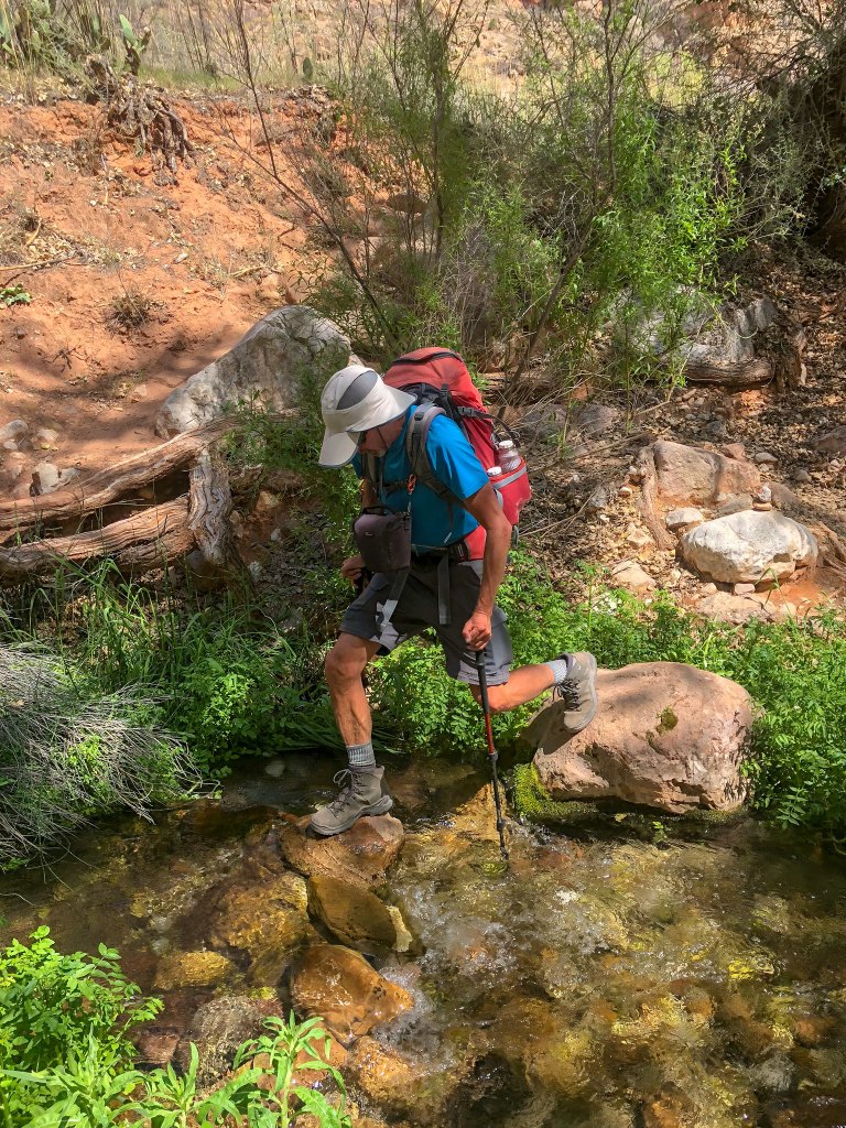
We located a campsite but just dropped most of our gear without setting up camp and headed down canyon.
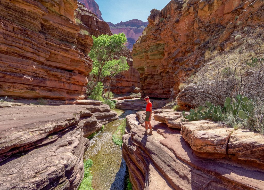
We were delighted to have this popular area, known as “The Patio”, completely to ourselves! When we were there in 2011, we had just hiked along the “informal trail” above the river from our camp at Upper Tapeats Creek. It was the end of May and extremely hot, so by the time we got here we were completely spent and all we wanted to do was rest in the cool shade and drink copious amounts of cold water. However, this is a popular spot for rafters, and it seemed that literally every square inch of rock was covered with the lounging body of a rafter. Still more were splashing around in the water. It was overwhelming as it was just too much humanity for us at that moment. We quickly left the area and headed upstream and set up camp next to the creek. Fortunately, we got to spend plenty of time exploring the creek and canyon later in the day after the rafters left.
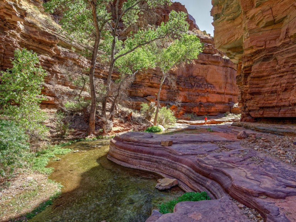
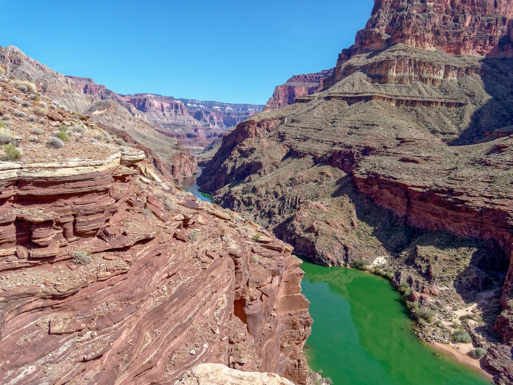
However, we did not linger at The Patio because we wanted to get somewhere we hadn’t gotten to the last time we were there, the base of Deer Creek Falls. By hiking down Deer Creek Canyon …
… the Colorado River soon comes into view.
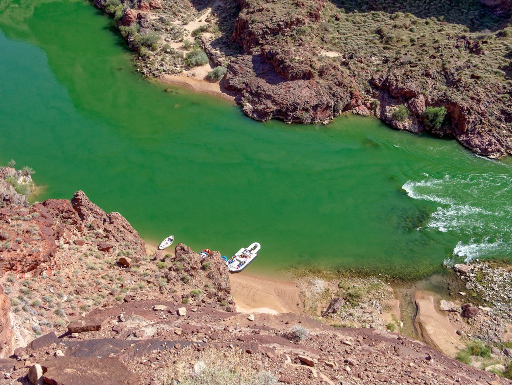
Not surprisingly, there were some boats at the beach, which meant we would not have the falls to ourselves.
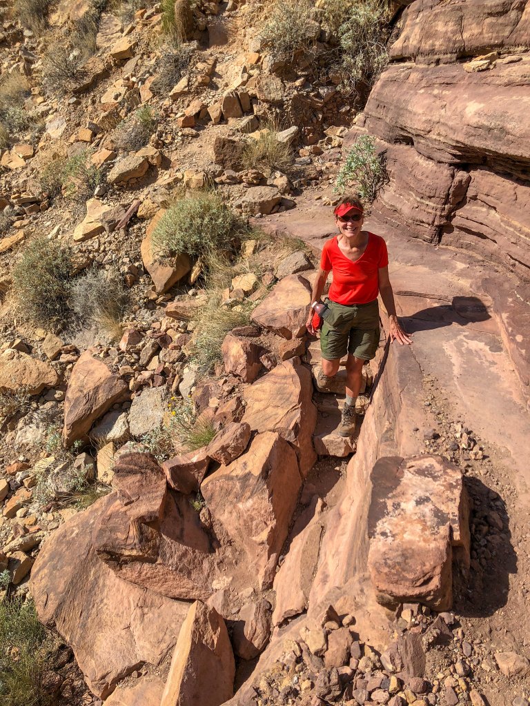
For the most part, the route is straightforward.
Fortunately, we had plenty of time to wait until the rafters left, allowing John to take photos without having to work around other people.
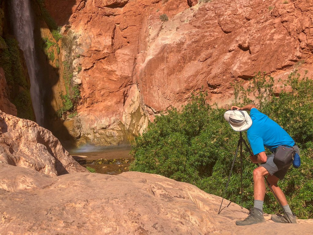
It is a challenging enough area to photograph well …
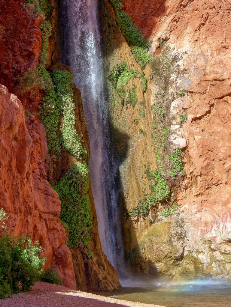
… and he tried different things …
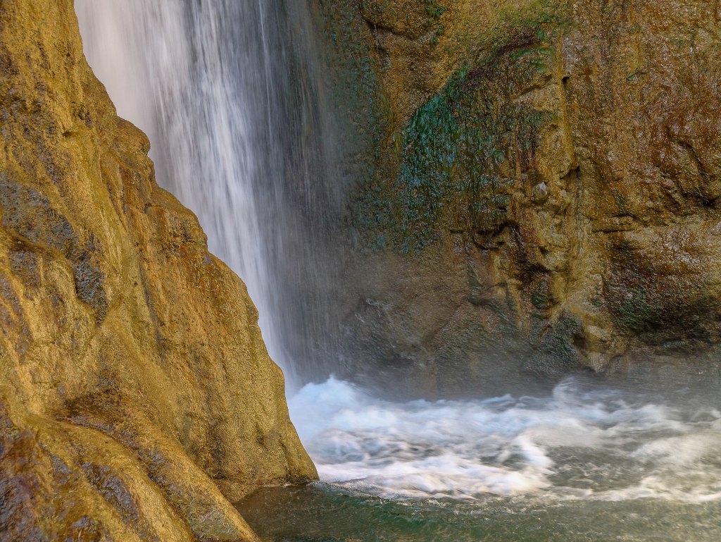
… to try to capture the “feel” of the area.
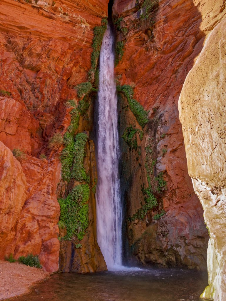
However, I think the long exposures work best …
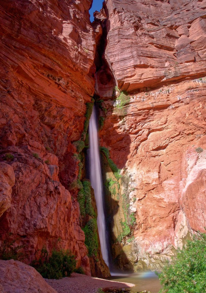
… and I love the contrast they create between the smooth water and the rough texture of the surrounding rock and vegetation.
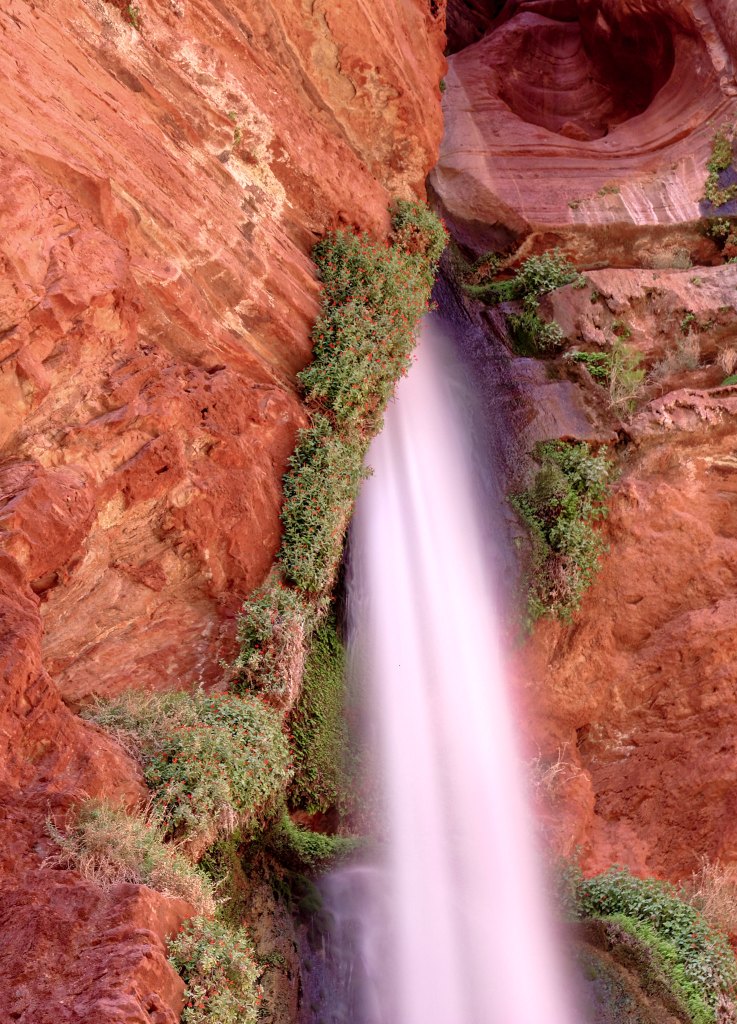
We then headed back up, and I continued up the trail to go set up camp. On my way, I noticed that a group of six had shown up: four sunburned teenagers and two adults were cooling off in the creek. They had hiked over from Tapeats that day and I knew exactly how they felt.
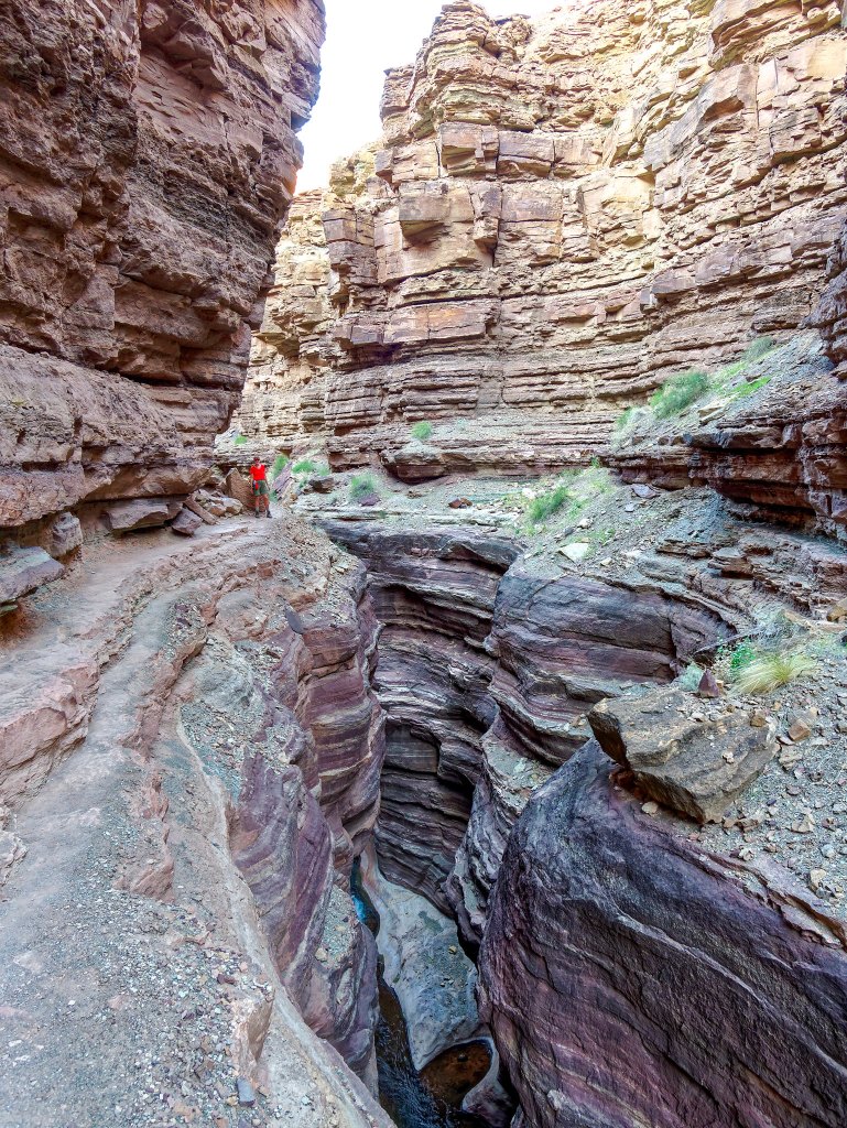
John stayed back to do more photography of the stunning canyon.
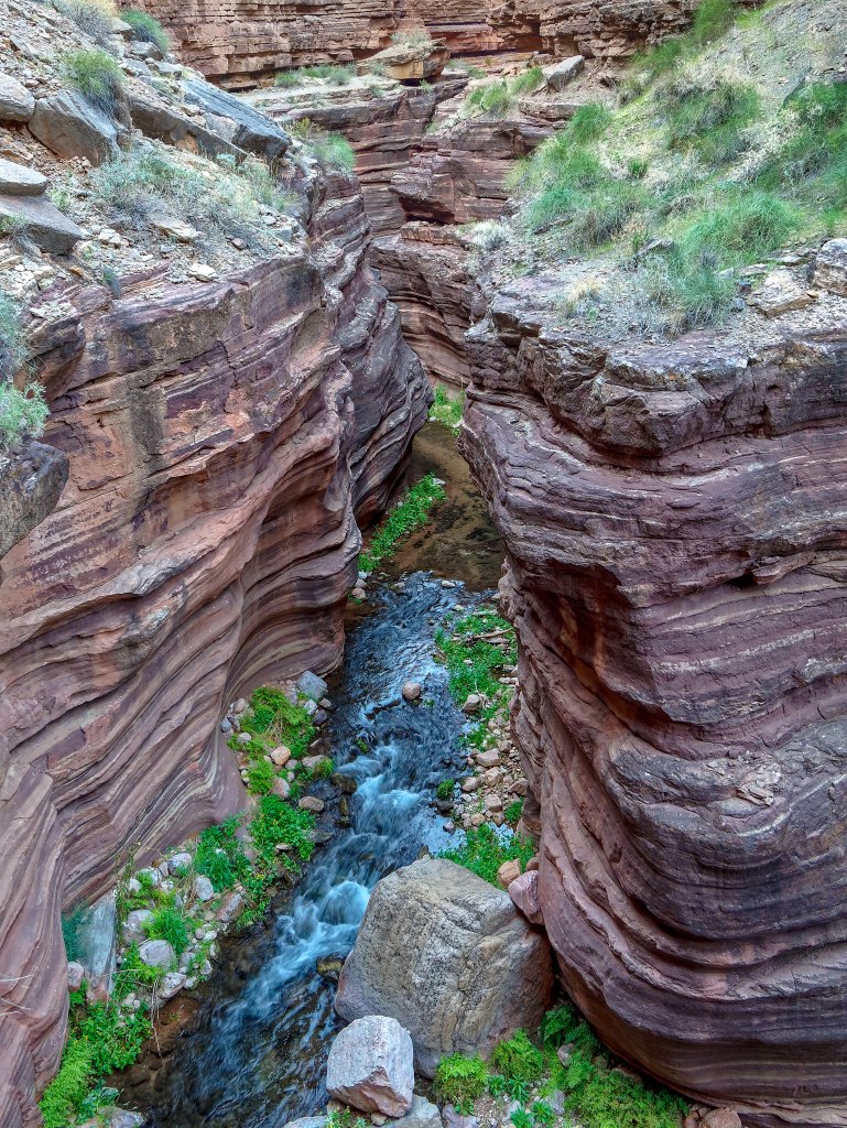
Long exposures worked well here too.
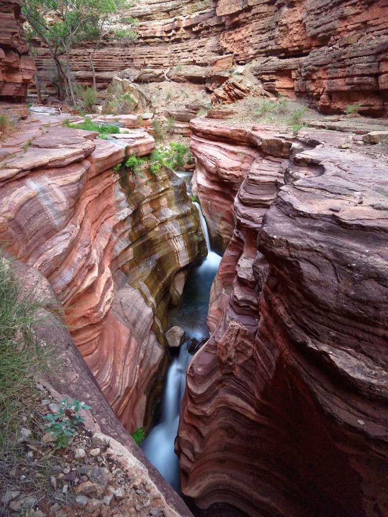
Deer Creek Canyon …
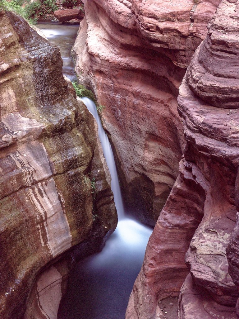
… is a magical place.
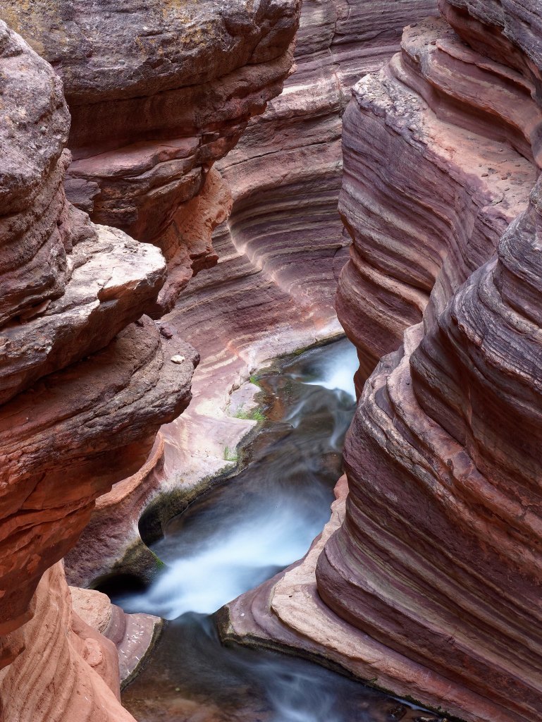
I was very grateful to be there under these conditions. This canyon can be deadly in a flash flood.
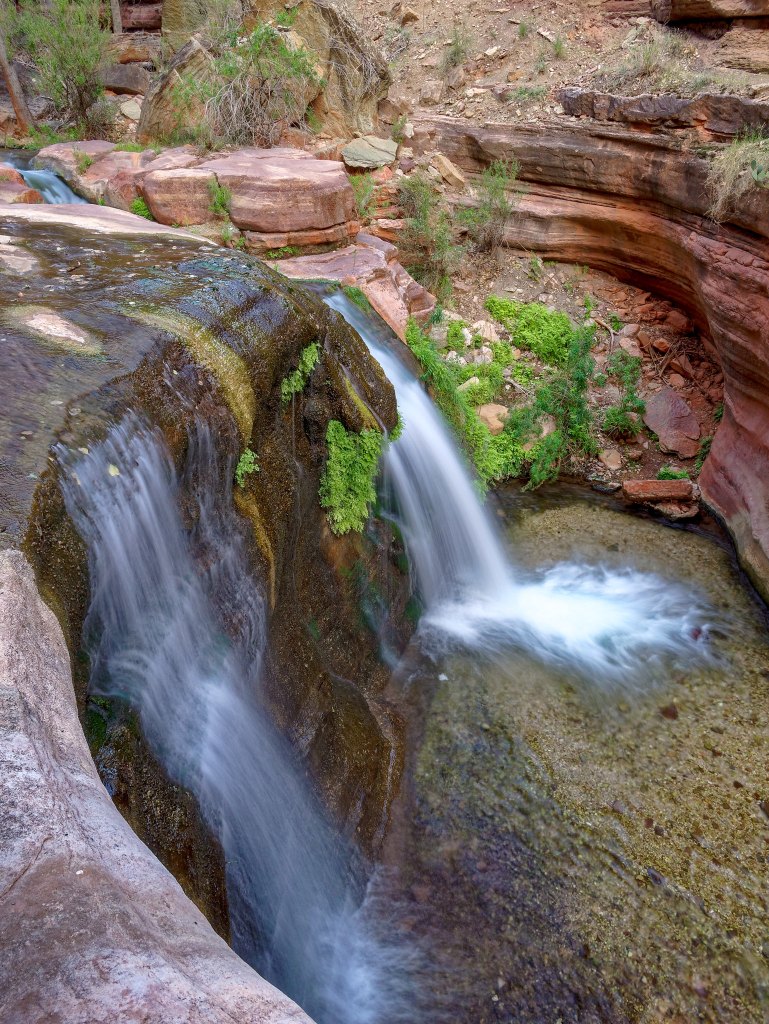
The next morning …
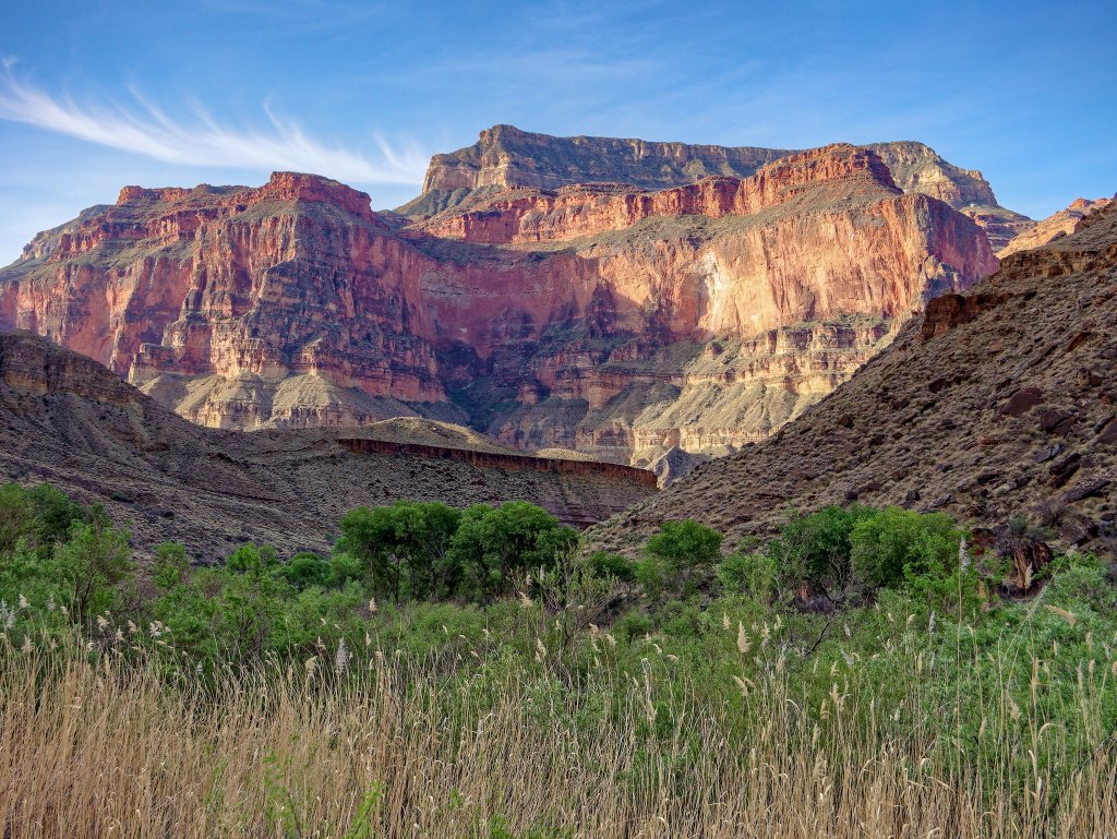
… we packed up and headed out.
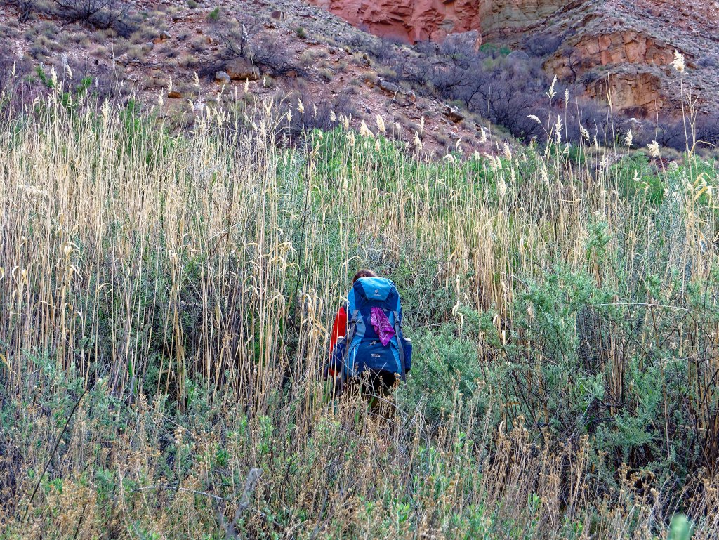
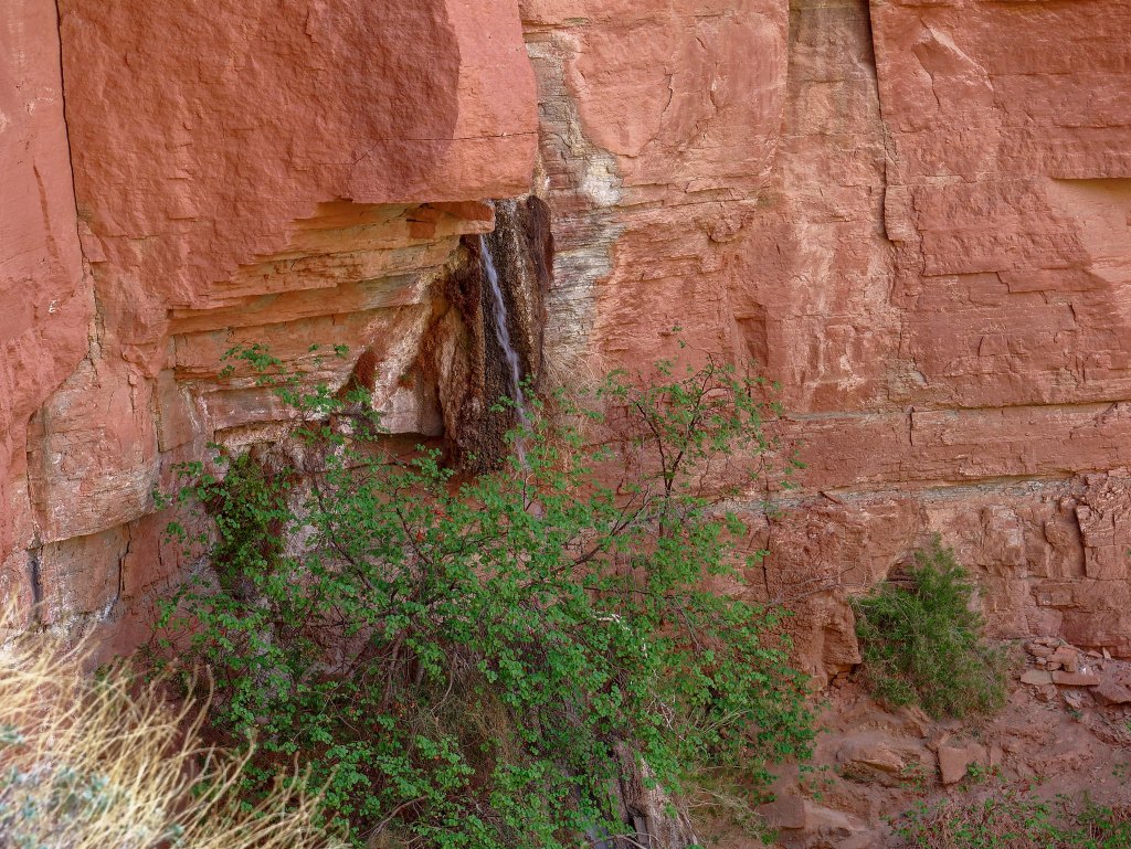
When we had hiked by Deer Creek Spring the day before, we had noticed it was dry. We weren’t concerned about it as we knew Deer Creek got its water from more springs than just this one. However, the next morning it was flowing.
We got an early start and initially the trail was cool and shady …
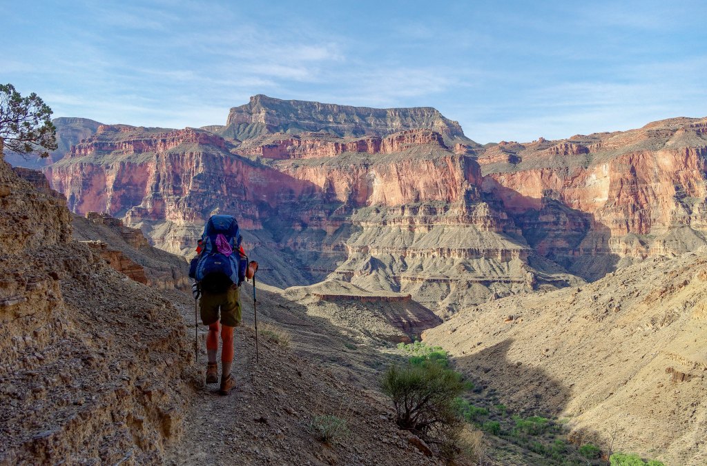
… which was great as our packs were quite heavy with all the extra water we were carrying for our dry camp on the Esplanade that night.
Eventually, we reached the misnamed Surprise Valley.
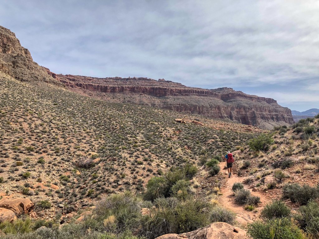
As we climbed up toward the Esplanade …
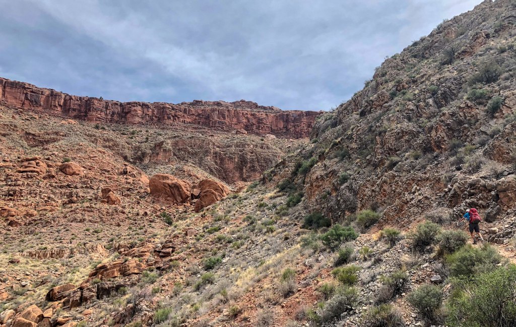
… the day really heated up.
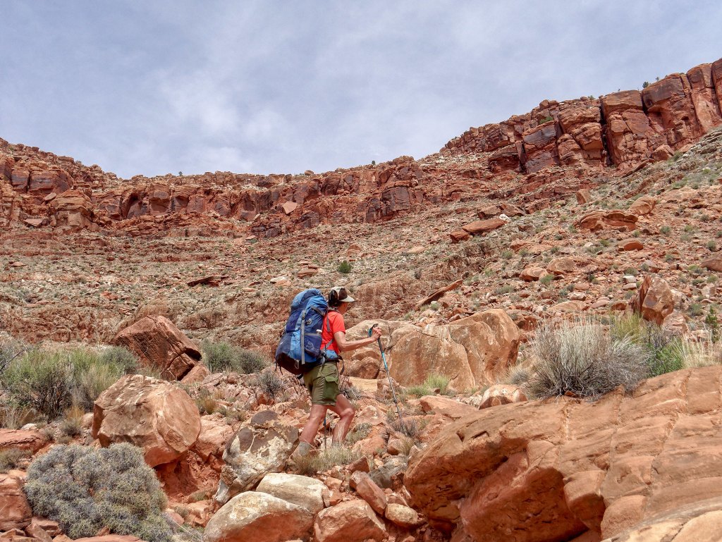
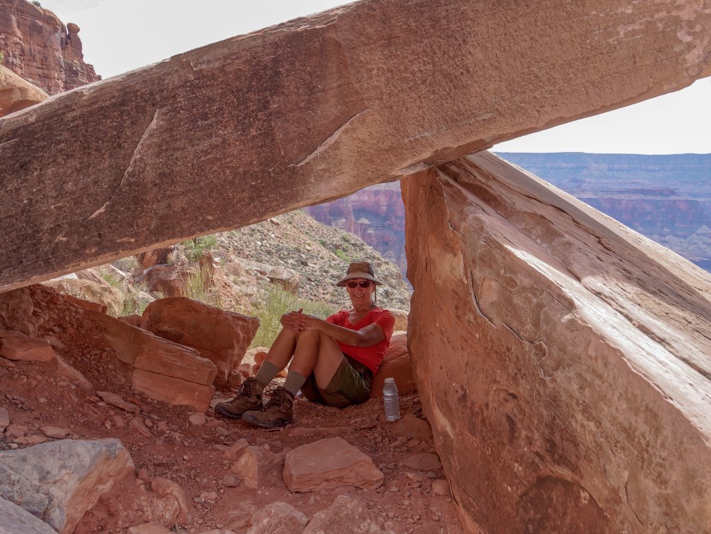
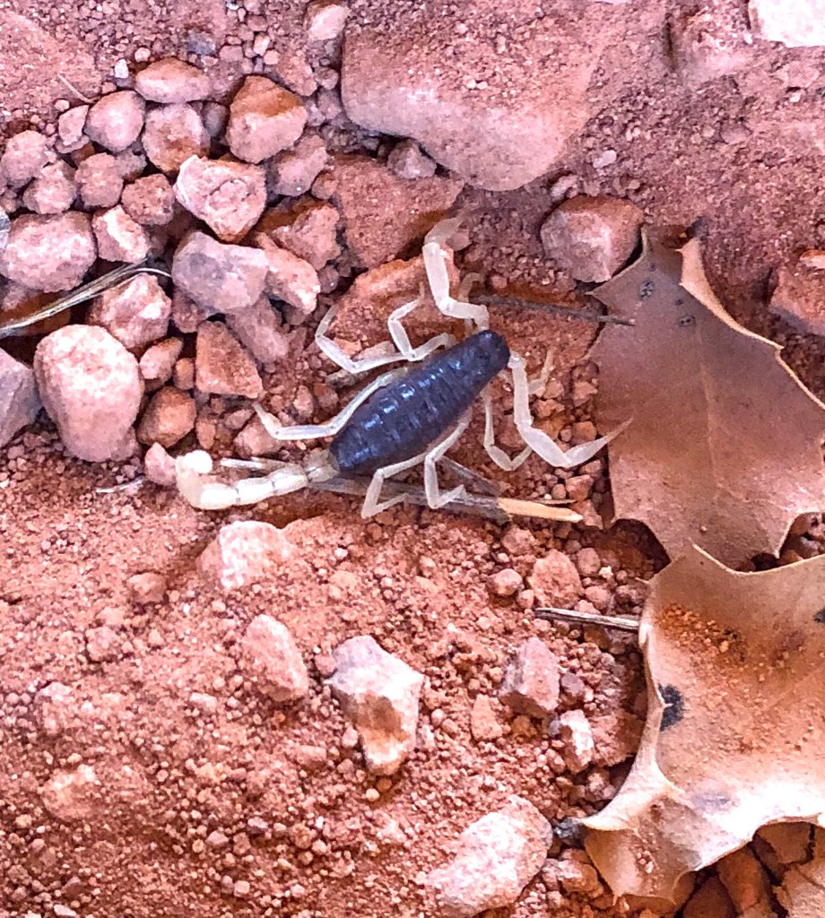
We felt lucky to find such a great spot to take a break. But we weren’t alone. When John lifted a rock to move it out of his way …
… it revealed a tiny scorpion.
We continued to make our way up …
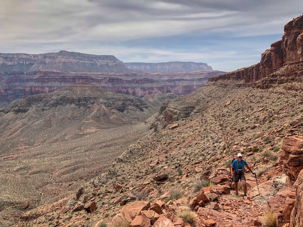
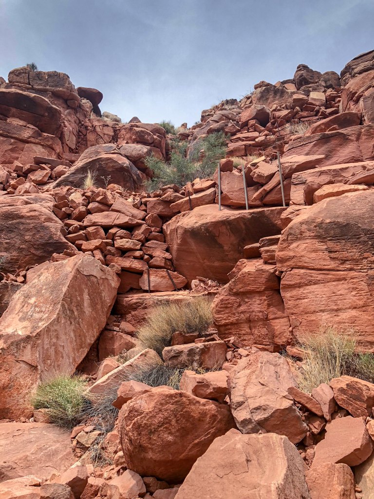
… the steep (and reinforced) trail.
We finally reached the Esplanade …
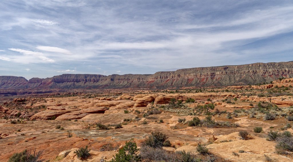
… and we made better time.
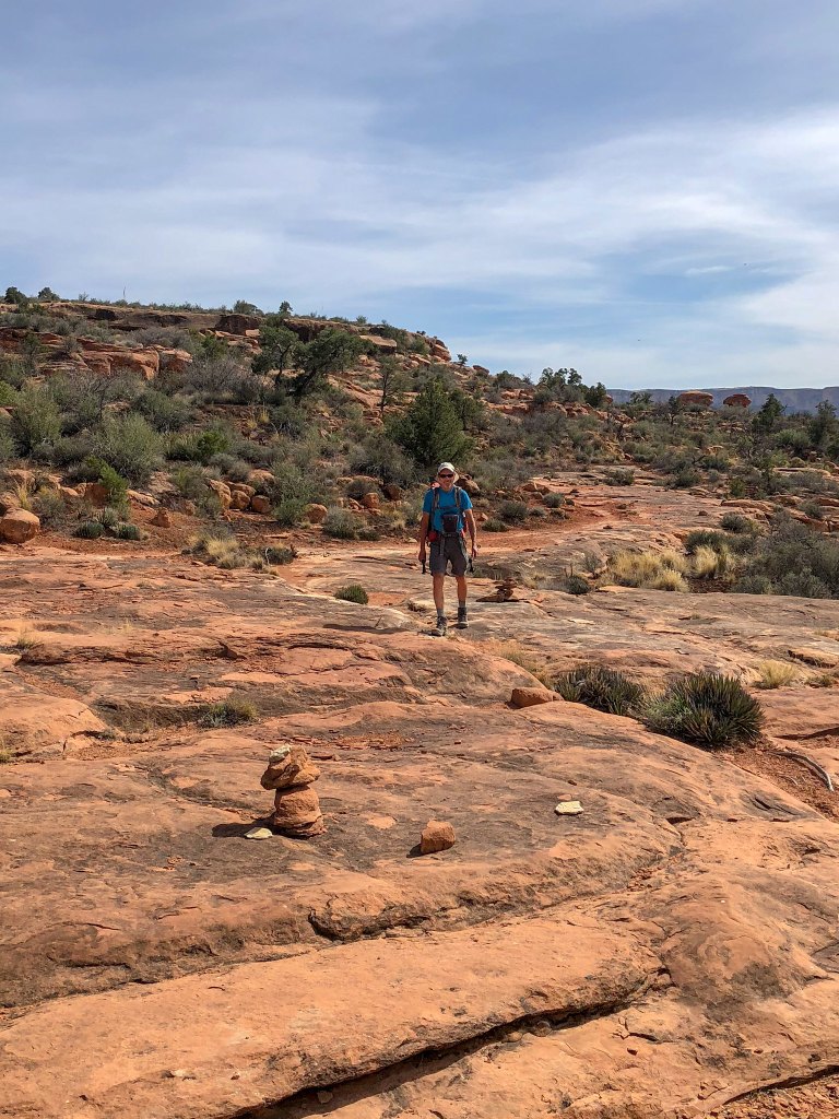
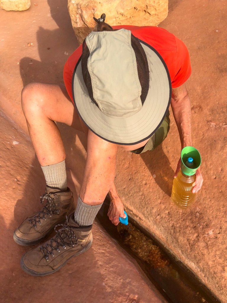
We had thought we had carried up enough water to see us through on the hike out the next day. However, I was concerned we could run short. We decided to collect two more liters from one of the little murky pools we had seen the day before. It was more yellow than we had seen pothole water to be and I hoped that didn’t mean that some thoughtless backpacker had urinated in it. We treated it three times with the SteriPen and I took a sip. Having never tasted urine, I can’t honestly say it wasn’t, but I’ve read urine tastes salty and this water just tasted “flat”.
We had a great campsite …
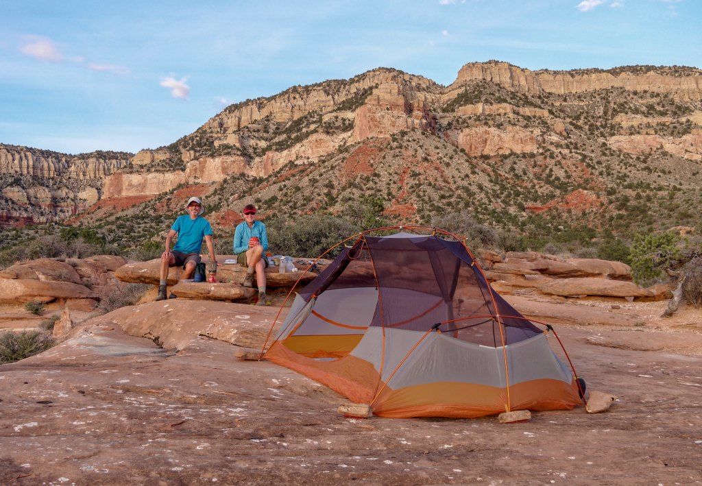
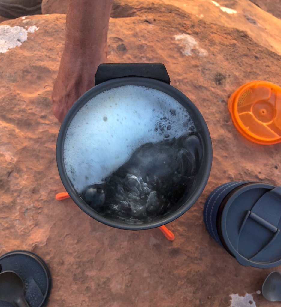
… which helped make up for the less-than-sparkling pothole water we used to cook our suppers with. It produced some disturbing foam when it boiled. I have no idea if urine foams up like this when boiled and I was disinclined to try and find out it. Fortunately, neither of us had any digestive issues after consuming it.
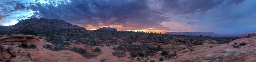
We had a great view from our campsite …
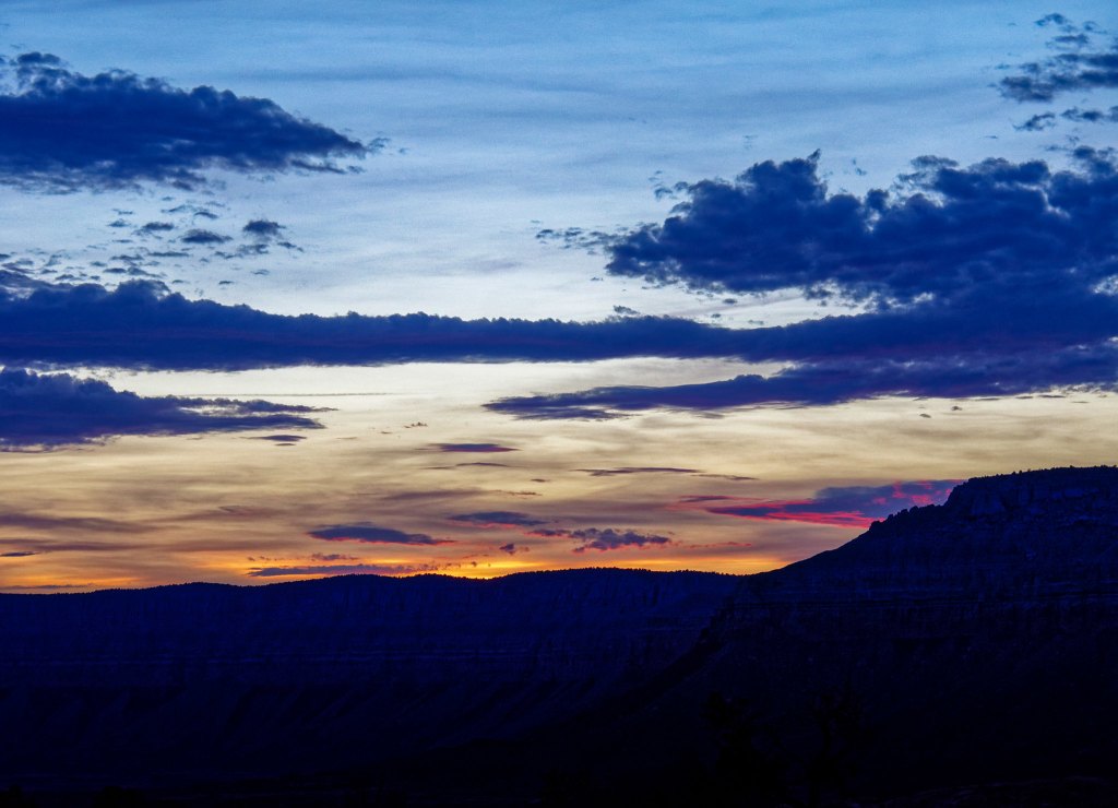
… and thoroughly enjoyed the beautiful sunset on our last night out.
We got an early start the next morning …
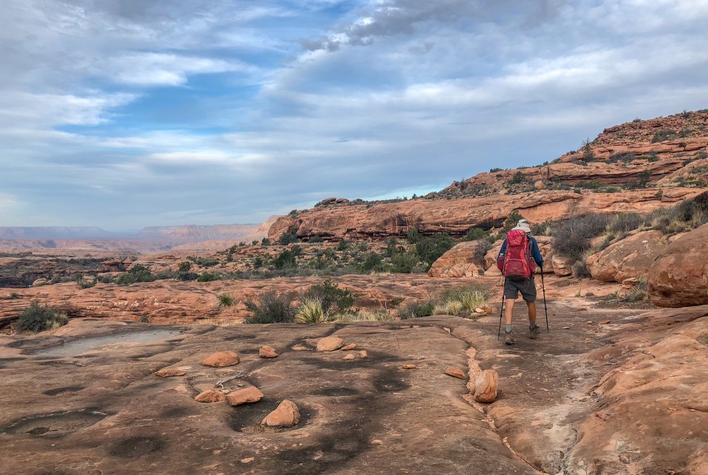
… enjoying the great views …
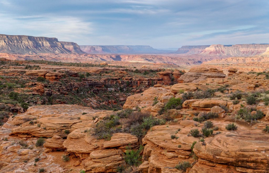
… as we made our way across the Esplanade.
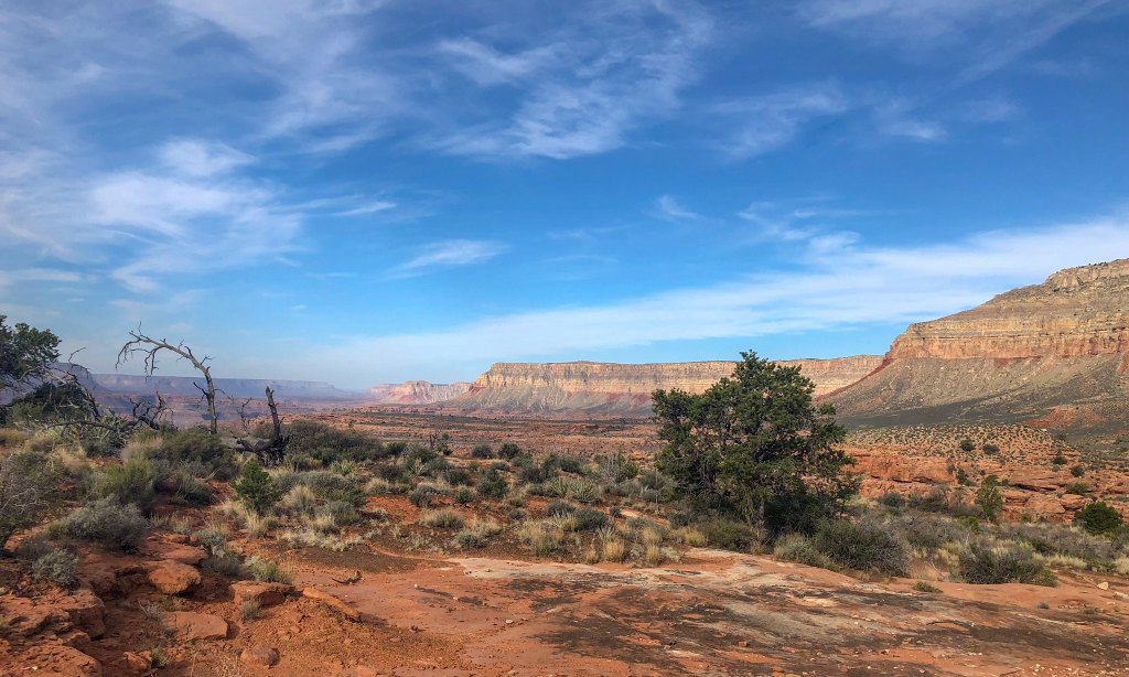
We were able to make good time on the easy trail through the desert …
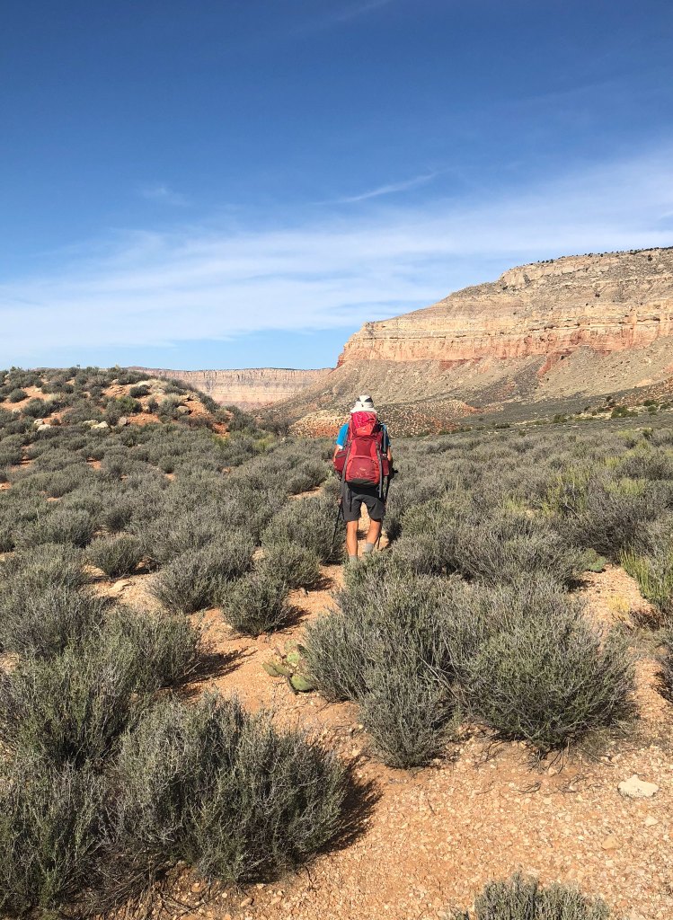
… until we started the climb out of the canyon where we slowed to a more sustainable pace.
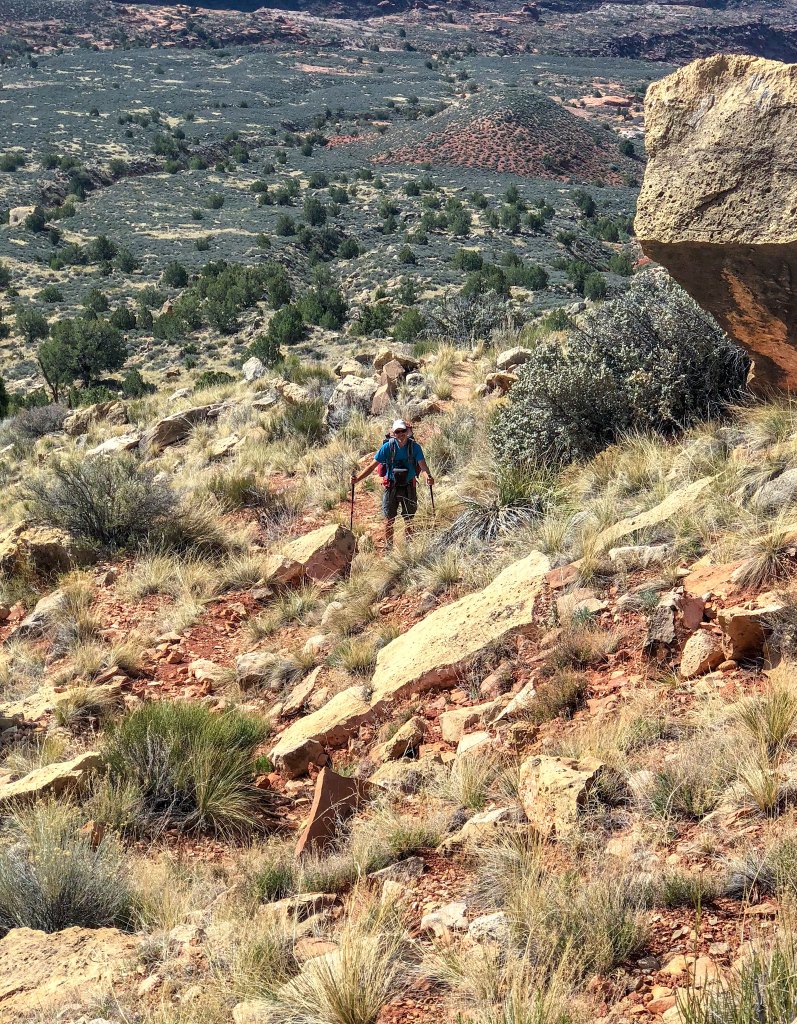
We gratefully reached the rim and took one last look at the canyon before heading back into the trees on our way back to the trailhead
Deer Creek is one of our favorite places in Grand Canyon National Park. The Esplanade is one of our favorite areas to camp. When we initially talked about doing this trip, it was just so we could accomplish our goal to hike every trail and route in the national park. It ended up giving us much more than that.
All photos from this trip are on Flickr.


Leave a Reply