In September 2012, we did a five-day, four-night backpack trip to Titcomb Basin within Wyoming’s Wind River Range. John was 59 and I was 58.
We started at Elkhart Park on the Pole Creek Trail, but took the side trail to the right and passed some very attractive lakes, including Miller Lake …

… and Sweeney Lake.

At the next trail junction, we took a short side trip over to the appropriately named Photographer’s Point.

The trail continued to be easy, but the views of the mountains gave us a glimpse of things yet to come.
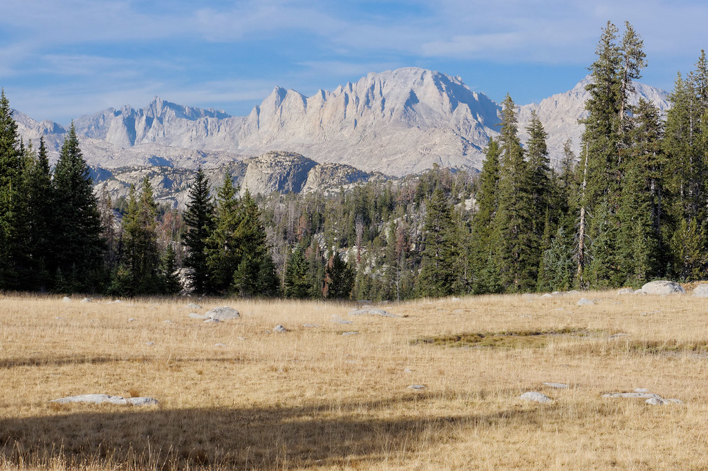
We decided to stop for the night at the lovely Hobbs Lake …

… and found a fine campsite that included a rock with a view that served as our kitchen.

We were now getting some great views of mountains …

… as well as of the changing moods of Hobbs Lake. It’s funny, we talk so much about how we want to see mountains and forget about how much we enjoy seeing the many lakes located within them.

The next morning, we continued on toward Indian Basin, our destination for the day.

We passed Island Lake on the way. This was apparently a common spot for backpackers to camp, as it is easy to day hike to Indian Basin and Titcomb Basin. However, we prefer to camp closer to such scenic areas in order to be there for late evening and early morning light, which tends to be better for photography.

We continued toward Indian Basin and had a decision to make when we reached the junction with the Titcomb Basin Trail. We could either continue on or take a side trip to Titcomb Basin. We had planned to go there the following day. But the weather forecast we had seen before starting this trip indicated the weather would begin deteriorating in the next few days. However, the weather was good at that moment, so we decided to take the time and do a side trip to Titcomb Basin.

And I believe we definitely made the right decision!

The late afternoon sun created a veritable light show, with shadows moving quickly across the basin and highlighting different facets of the jagged mountains.
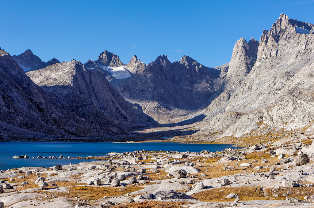
We then headed back to the Indian Pass Trail toward Indian Basin to look for a place to camp.

We felt lucky to find a place that was sheltered from the wind.

The next morning, we continued up into Indian Basin, first crossing this nearby stream.
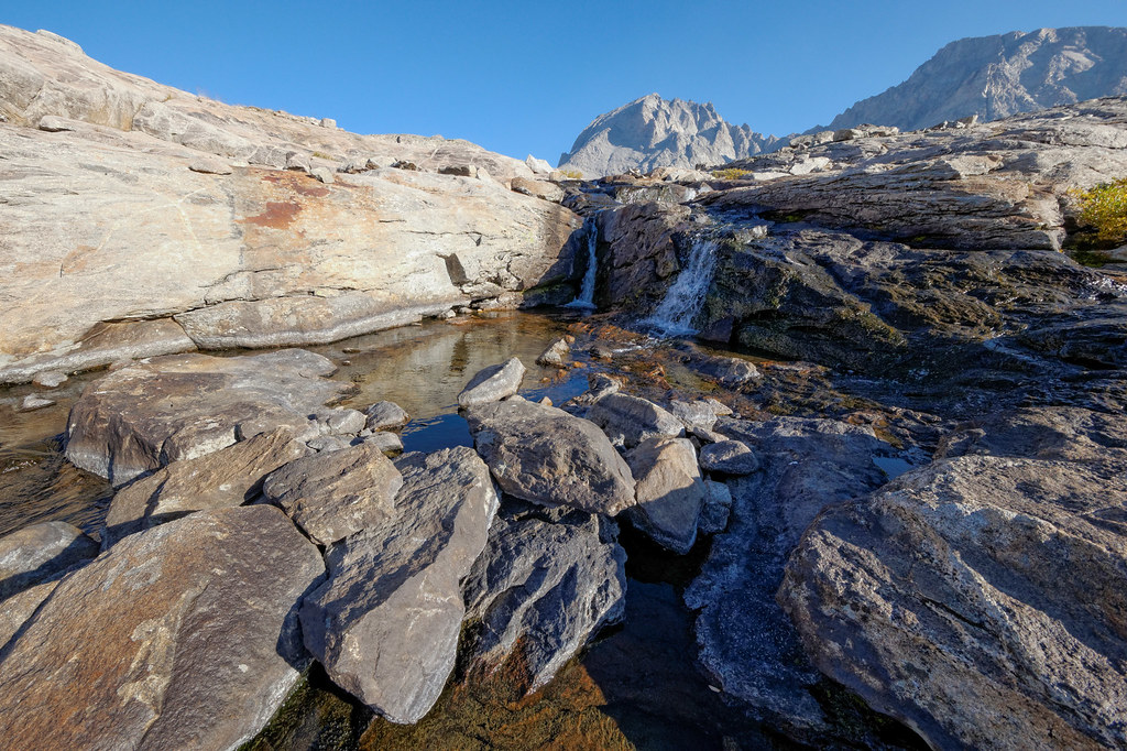
Before long, we began getting views of the basin …
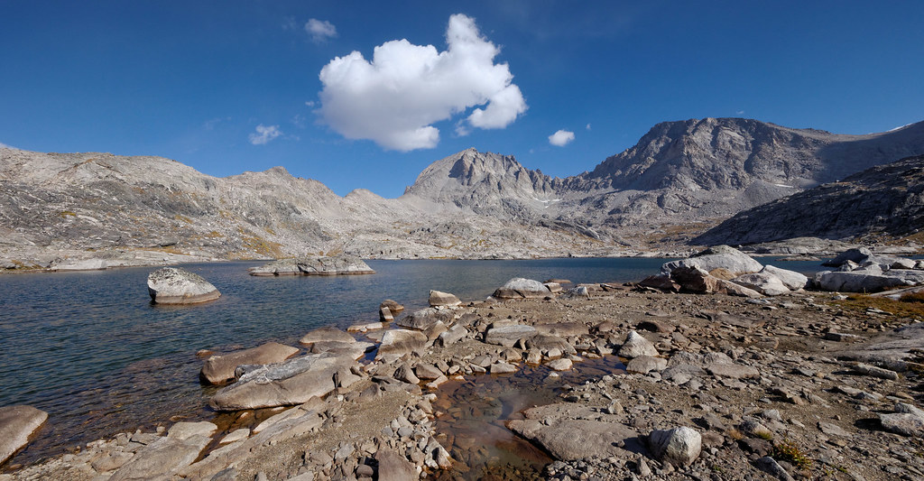
… and the unnamed lakes within.

However, the angle of the morning light and orientation of Indian Basin were not the best for photography. It may have been quite good the previous evening, and perhaps we should have come straight here. But a photographer cannot be in more than one place at one time, so a choice always has to be made. I still believe we had made the right one this time.
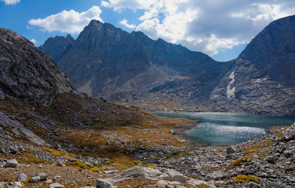
So we headed out and decided to revisit Titcomb Basin on our way …

… and it was once again the right decision and well worth the time and effort.

The weather forecast proved accurate because it took a decided turn for the worse while we headed back to the trail toward Island Lake.

The weather turned wet and windy, bad enough that we put on rain pants as well as parkas, something we really prefer to avoid while actively hiking.
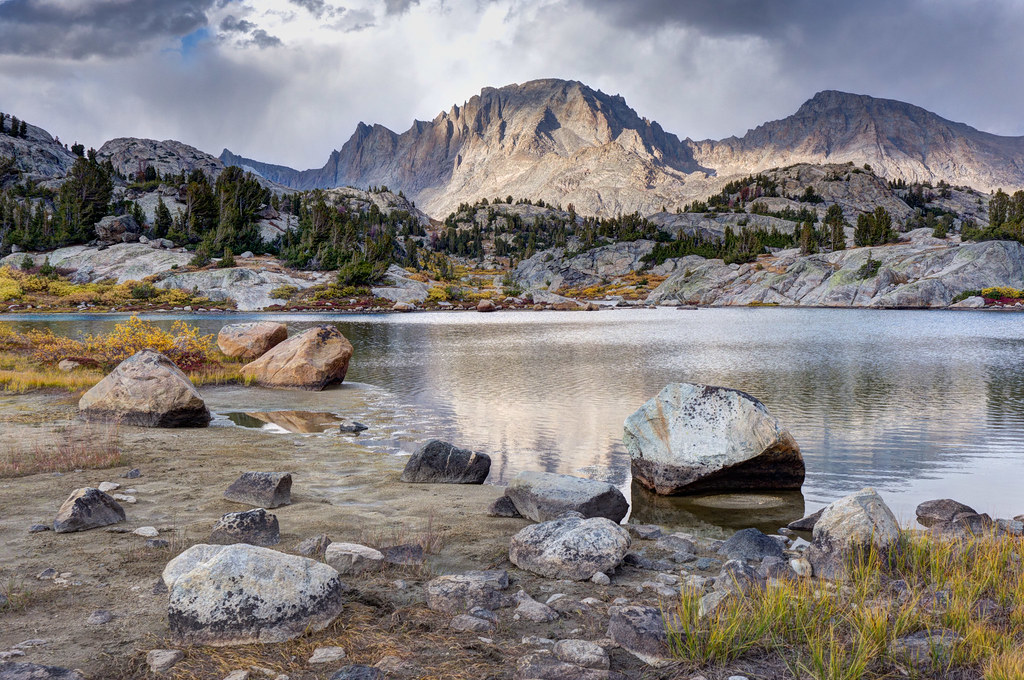
Fortunately, the squall proved to be temporary, and we eventually shed our outer garments. We once again passed Island Lake but under more subdued lighting conditions this time.

Not far past Island Lake, we turned right on the Highline Trail. We knew we had to lose significant elevation to reach our destination for the day, which sounds easier than it ended up being. I found the trail a bit annoying. Every time we lost some elevation, we would go around a bend in the trail only to see it climb again. Once we finally descended into the valley and crossed the bridge at Fremont Crossing, we looked for a spot to make camp.

We set up camp in time to be able to enjoy the sight of the dark clouds moving in …

… and the subsequent colorful sunset. We were also treated to the howling of either wolves or coyotes. I really want to believe they were wolves as we used to be able to hear coyotes from our suburban house, so coyotes just don’t seem as wild to me as wolves.

What we didn’t realize was we had set up our tent in a frost pocket and awoke to a tent and fly covered in tiny ice crystals on the inside. It was a race to get our sleeping bags stuffed before the sun started melting the frost and getting everything wet. The other thing we hadn’t realized was that a minor slip I had on the trail the evening before had apparently stressed one of my knees enough that it was now intermittently quite painful.
We had planned to take the Highline Trail to the Pine Creek Canyon Trail and be out another two nights, but that was now out of the question. Fortunately, we were at a location where we could shorten the trip to only 12 miles, so we decided to try to hike all the way out. I was unhappy about having to shorten our trip. However, we couldn’t ignore the fact that the sky was becoming noticeably hazier, undoubtedly due to distant wildfires, so maybe it was time to head home.

We had two options for getting out. My knee wasn’t looking forward to backtracking on the trail we had come in on the day before with its tedious ups and downs. So, we decided to go the other way that would take us by Lost Lake. This trail doesn’t appear on every map, including ours, but John had seen it on other maps, so he drew it in (which I admit didn’t instill confidence in me). It did take a few false starts to actually get on the right trail where it branches off from the Highline Trail, but we finally found it. It was defined well enough after that. At least it was as far as the Big Water Slide.

However, once past the Big Water Slide, the trail became less distinct. We found our way to Lost Lake without too much trouble. However, after that was another story. The lake is surrounded by a network of crisscrossing social trails, and it was confusing trying to find the one that would take us back to the main trail.

Several times we thought we had it only to lose it again. According to the GPS, we were really close to the trail, so we decided to do a little bushwhacking rather than backtracking too much. My knee wasn’t particularly happy about it, but it’s amazing what three naproxen tablets can do. We finally found the trail, but the navigation challenges had chewed up too much time.
We decided to stay out another night and ended up back at Hobbs Lake in the same spot we stayed our first night.

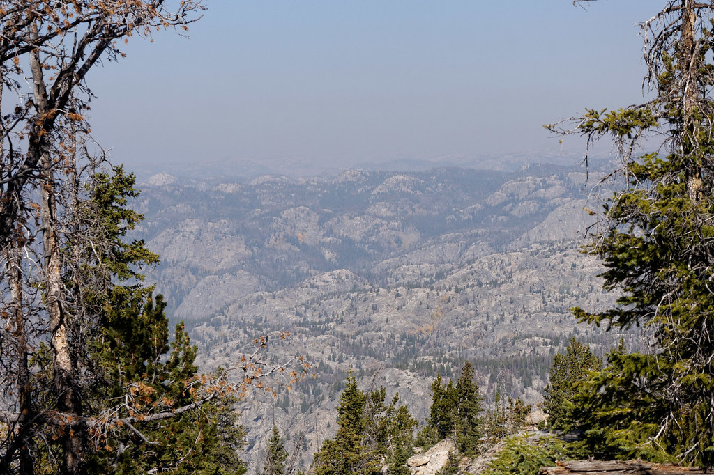
The hike out proved uneventful. However, when we stopped by Photographer’s Point again on the way out, we were dismayed by the smoky haze now obscuring the distant mountains. But we were so grateful to have had clear skies for most of this trip.
A highlight of this trip came on the last day as we were hiking out. We were taking a break when a group heading up the trail stopped to talk. I noticed that one backpacker in the group looked quite a bit older than we were. One fellow in the group let it be known that this guy was 85. He had been section hiking the Continental Divide Trail for years and this trip would enable him to complete his goal. We were inspired!
All photos from this trip are on Flickr.


Leave a Reply