In 2012, we spent three months exploring New Zealand, where trails are tracks and hiking is tramping. We did seven Great Walks. Sometimes we camped in our tent, and sometimes we stayed in huts provided by the Department of Conservation (DOC).
In February, we spent three days and two nights on the Tongariro Northern Circuit in Tongariro National Park. John was 59 and I was 57. We camped in our tent.
Due to the weather forecast, we opted to do this track counterclockwise, opposite to how it is commonly done. We left Whakapapa Village in cloudy drizzle and headed toward the Waihohonu Hut and campground. On that first day, we encountered people who were heading out. They complained that visibility had been less than 10 meters and that they had seen nothing during the previous three days on the track. Visibility was still poor. We consoled ourselves with the fact that we were doing the least scenic part of this track first. Our only hope was that it would clear up some in the coming days.

This was our first experience with a DOC hut. It is our preference to sleep in our tent, but we certainly appreciated being able to get out of the rain to cook and eat. However, we were happy to later leave the loud intensity and retreat to our tent.

The next day continued to be cloudy and drizzly, and we had some trouble leaving the warm, dry (and now quiet) hut. Once we got going, the track first climbed up through a forest that looked as though we had been transported back into the North Cascade Mountains in Washington State. However, once we got above the trees, the clouds began lifting. By noon, we began to get great views of the Rangipo Desert …
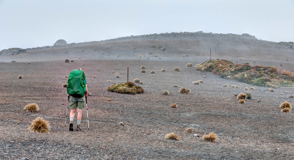
… and the dramatic volcanic landscape of the Oturere Valley and Mount Ruapehu (9,177 feet).

The steam vents were a reminder that this is still an active geothermal area.
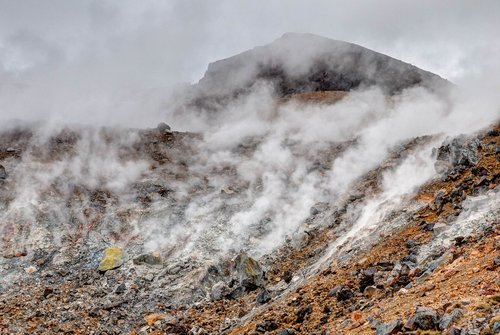
The clouds continued to lift and break up as the day went on. It appeared that our late start was working in our favor. We were thrilled with our views of the lower Emerald Lake, views that those who passed through earlier in the day would have missed.
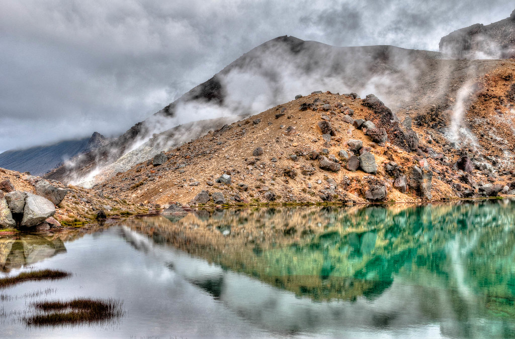
We camped that night in the campground adjacent to the Ketetahi Hut.

The next morning, the skies were only partly cloudy, and we were treated to views of all three of the Emerald Lakes …
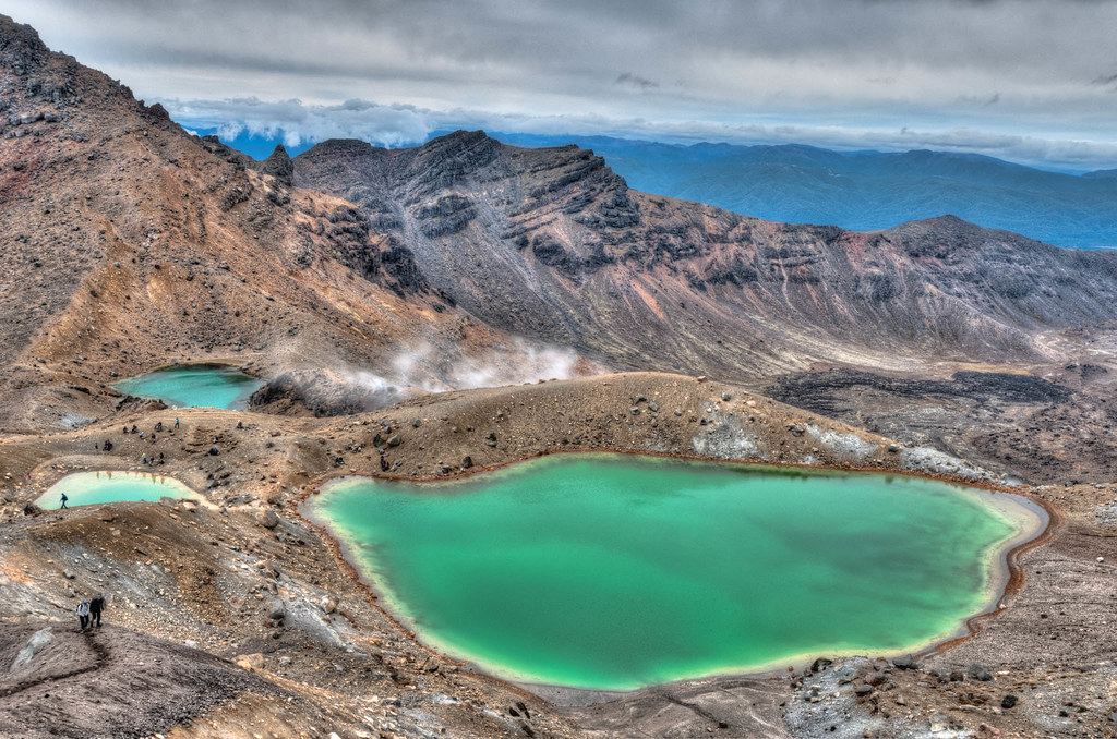
… as well as Mount Ngauruhoe …

… and into Red Crater.
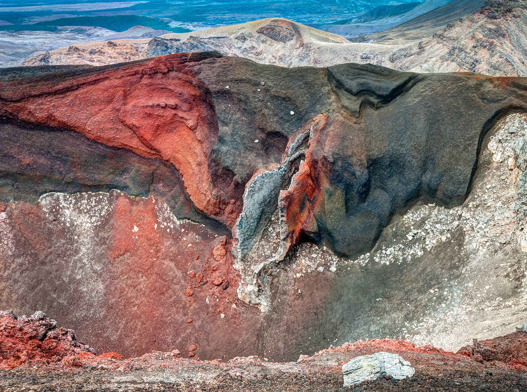
We had descended to the campground the evening before. Now we needed to regain the elevation we had lost. And then gain some more.

The Tongariro Alpine Crossing is purported to be the best day hike in New Zealand. It is done by hundreds of people every day, some better prepared than others. A challenging part for the less skilled is descending the steep slope covered in loose scree. I was much happier going up it rather than down.
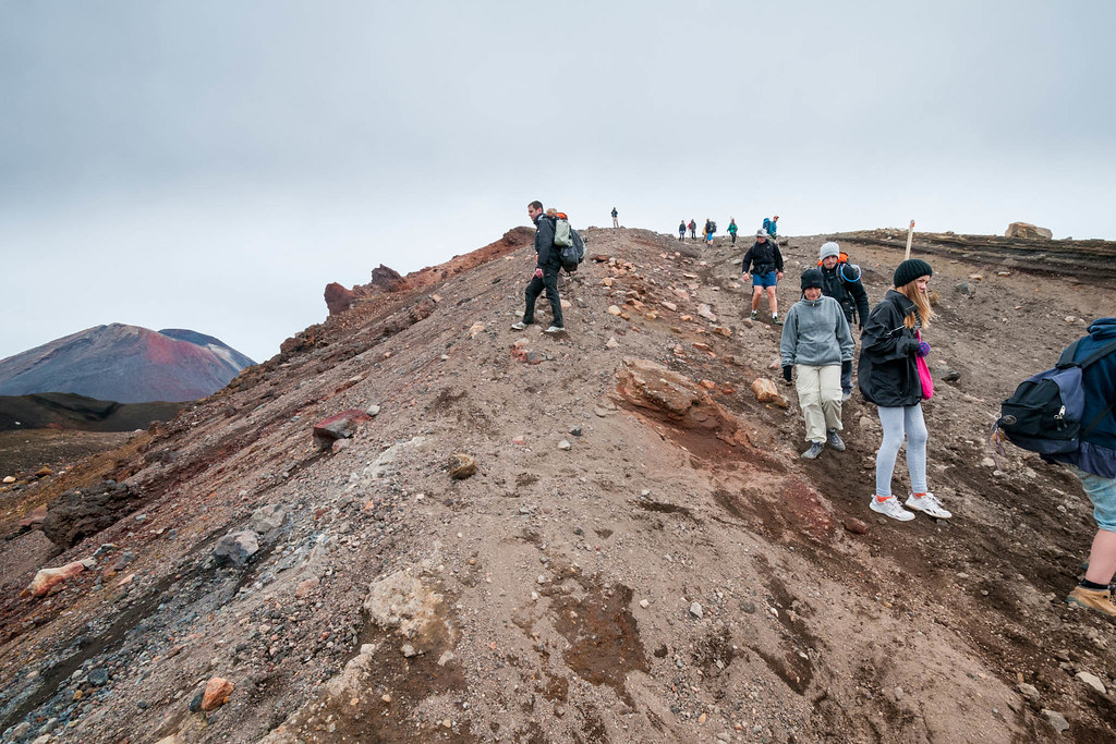
The final part of this track was not without its challenges. We encountered many deep gullies. Most had a rough route around them. This one did not.

Sometime after we completed our New Zealand adventures and posted John’s photos on Flickr, the DOC reached out to us. They asked for permission to use some of John’s photos in their brochures and on their website. We were honored and happily consented. At the same time, we maintained a blog, panafoot.com, chronicling our backpacking trips. The DOC asked for permission to reprint my post about doing the Tongariro Circuit on the DOC’s Conservation blog. I was flattered!
The Tongariro Northern Circuit exceeded our expectations. The terrain was unlike any that we had ever backpacked through.
All photos from this trip are on Flickr.


Leave a Reply