In March 2018, we backpacked the Tuckup Route located in the remote northwestern part of Grand Canyon National Park. John was 65 and Jean was 63. It took us six days and five nights to complete it. We started at 150-Mile Canyon and exited up the north arm of Tuckup Canyon. We were then able to walk back to our car.
The Grand Canyon NPS Trail Description states, “The Tuckup area is a remote, vast expanse of labyrinthine gorges, sandstone slickrock, and fascinating history. However, the unique combination of heat, unreliable water sources, and inaccessibility makes this one of the most challenging and least visited of Grand Canyon’s named trails… Mileages are very difficult/impossible to gauge because the terrain is so convoluted and routes vary.”
We also wanted to do the Tuckup Trail which is a continuation of the Tuckup Route. We initially assumed we would have to do it in one trip going from 150-Mile Canyon all the way to Toroweap, estimated to be 60 miles.
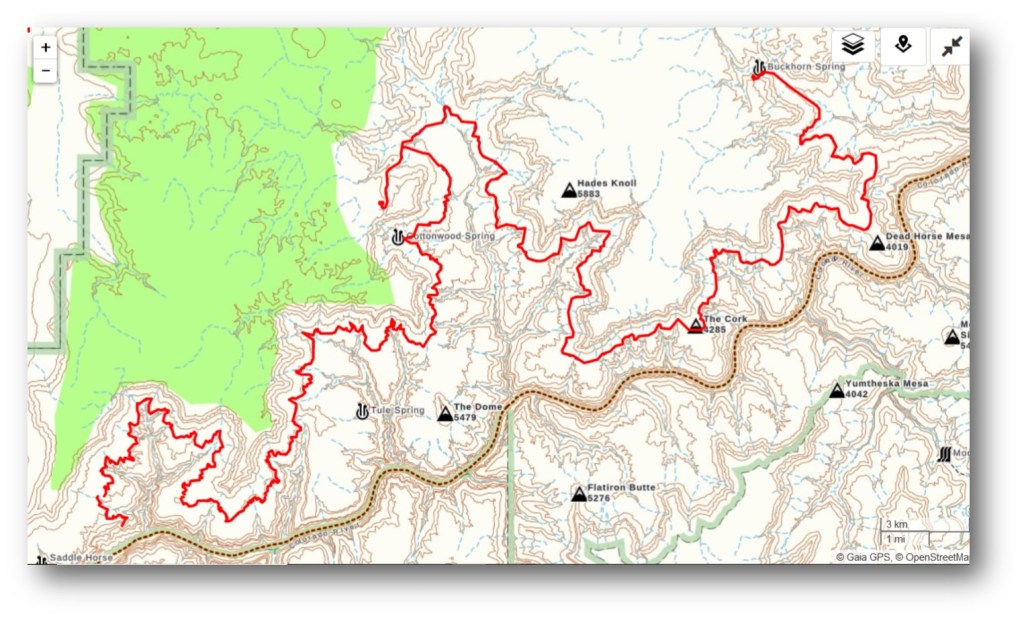
But that seemed too daunting to us. However, a conversation John had the previous spring with a North Rim backcountry ranger got him considering other options such as exiting to the rim by a side canyon and walking cross-country back to our car.
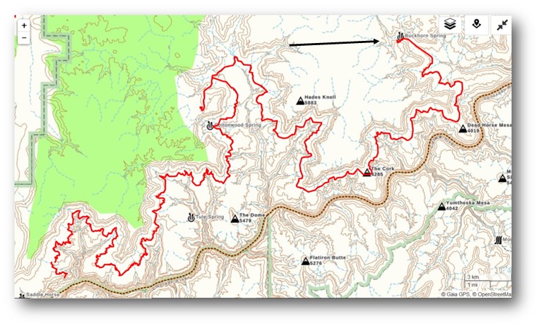
He studied a map and realized if we started at the 150-Mile Canyon Trailhead and exited via Tuckup Canyon, we might be able to get back to the rim. We would then be relatively close to where our car would be parked at the trailhead (the arrow in the image below). He also studied the map to see what the best way would be to do that. He determined the north arm looked the most gradual of all the arms off Tuckup Canyon. He read a trip report by Bob Bordasch who had done a trip on the Tuckup Route beginning at 150-Mile Canyon. Bob’s intent had been to exit via the north arm, but his group’s plan changed, and they ended up hiking back out to the 150-Mile Trailhead. However, we were reassured that a Grand Canyon hiker as experienced as Bob Bordasch believed it was feasible to exit there.
The next issue to consider was road access. The roads in this area are notorious for being impassable when wet. We hunkered down in our motorhome in Fredonia, Arizona and watched the weather. We had recently met an avid Grand Canyon explorer who lives in Kanab, Utah and he loaned us some very useful equipment to help us in case we got stuck; a come-along, a shovel and some pieces of lumber.
Provided you can get to the trailhead, the biggest issue with doing the Tuckup Route is water. The winter had been dry so there were concerns about the springs. However, even in the best of times spring water in that part of Grand Canyon may contain a high concentration of minerals which will most likely cause gastrointestinal distress of varying degrees. Therefore, the most reliable and safest source of water will come from rain and melted snow collected in “potholes”, natural depressions in the rock. While we waited in Fredonia, we welcomed this snow and appreciated when the weather cleared soon after. John obtained a permit and we made plans to start two days later.

To get to the trailhead we followed the directions in Todd Martin’s book, Grand Canyoneering. Even just two days after snow the road was almost completely dry, and we had no trouble with our Jeep Cherokee Trailhawk.
Not surprisingly the trail from the rim is steep, loose and eroded in places. However, it was easy to follow.
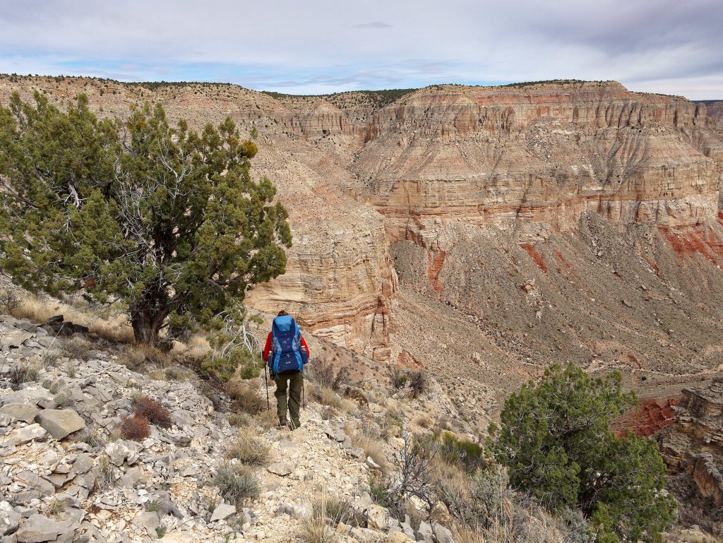
As we descended, we had a great view.
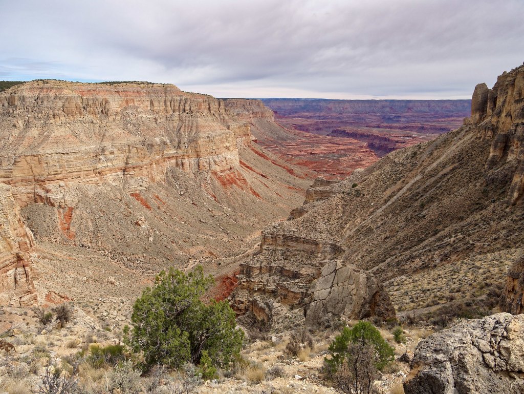
While we did not yet need water, we were curious to see how well Buckhorn Spring was running as it could be an indication of how the other springs along the route were doing. What we found was a sluggish flow into a shallow pool clogged with leaves. This did not bode well for the other springs. Fortunately, the recent snow should have replenished the potholes.
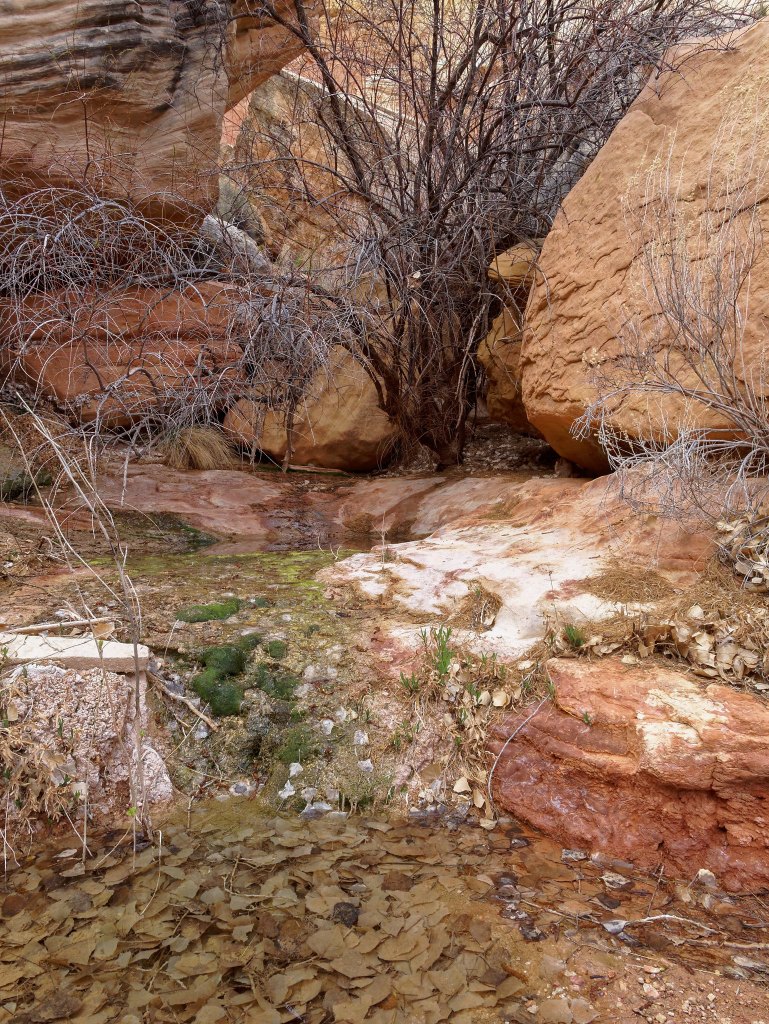
We knew not to expect an established trail or even a rough track on this remote route. While we occasionally saw a cairn …
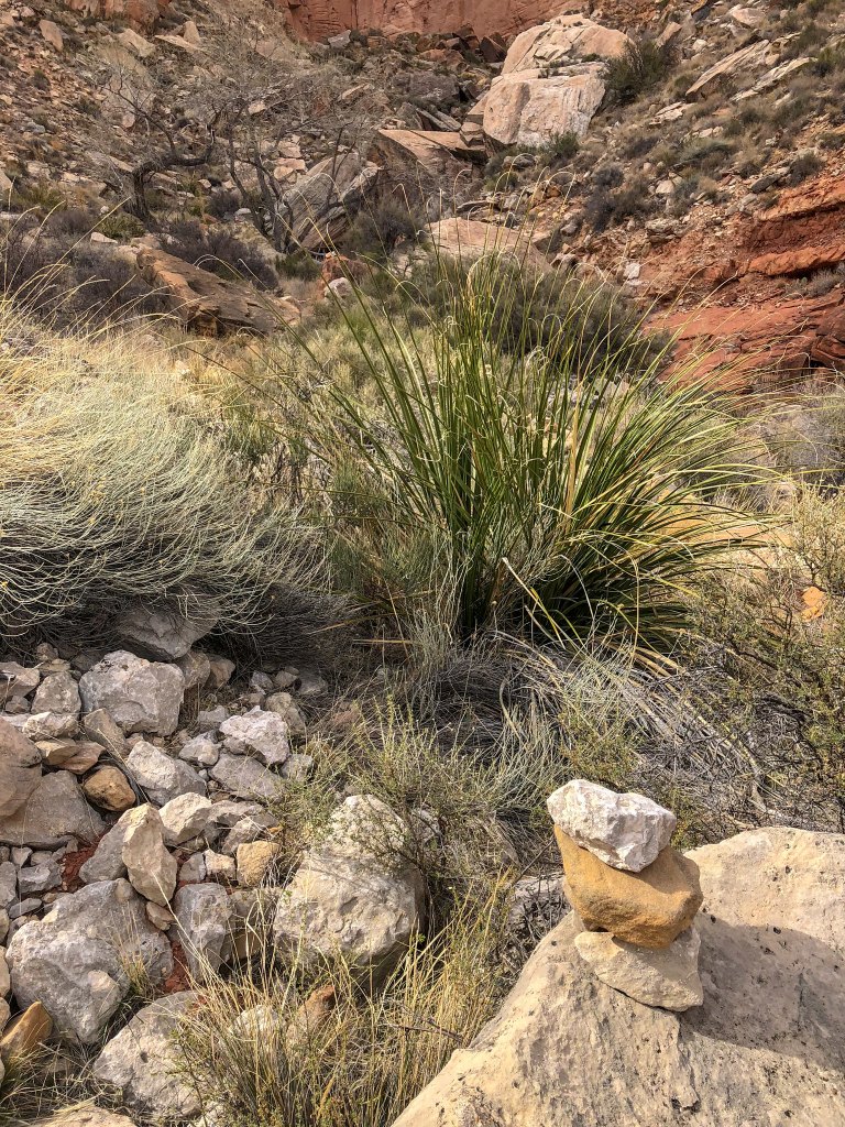
…and a bit of a track through the brush …
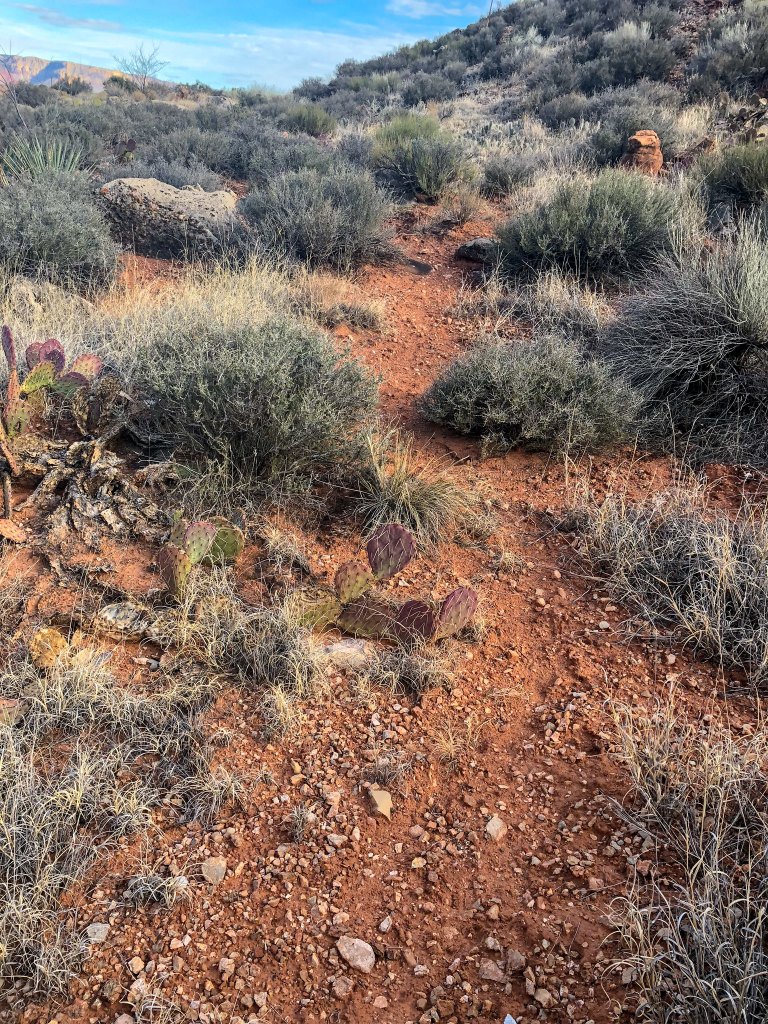
… as well as a few fresh boot prints …
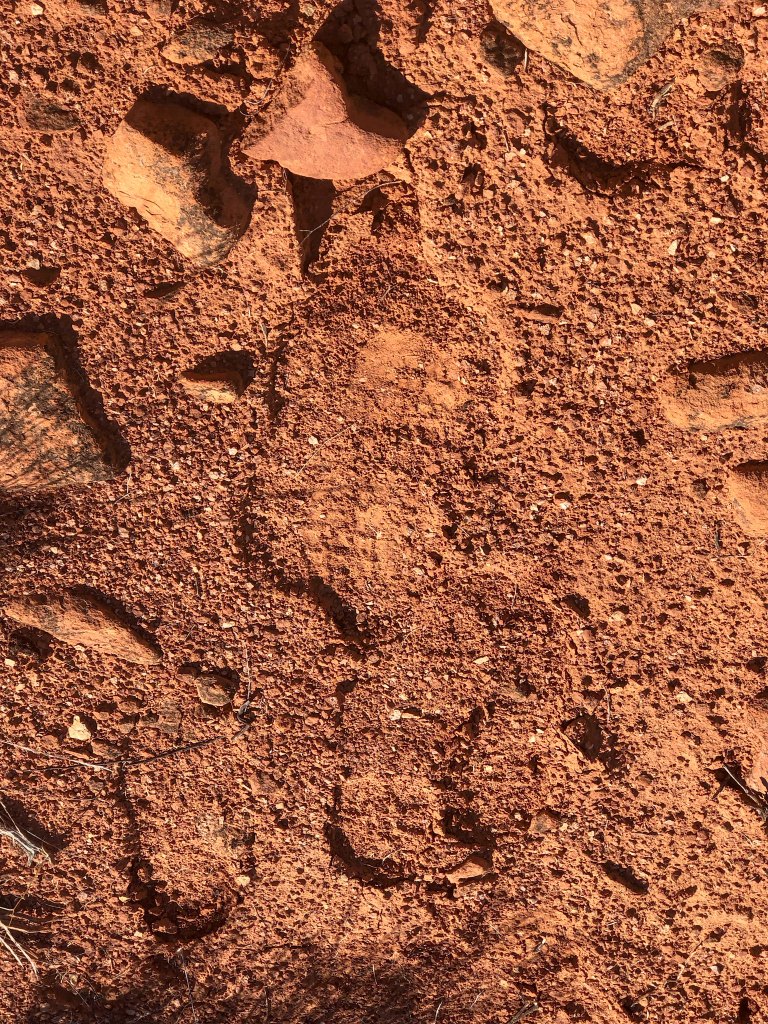
… we primarily took the path of least resistance …
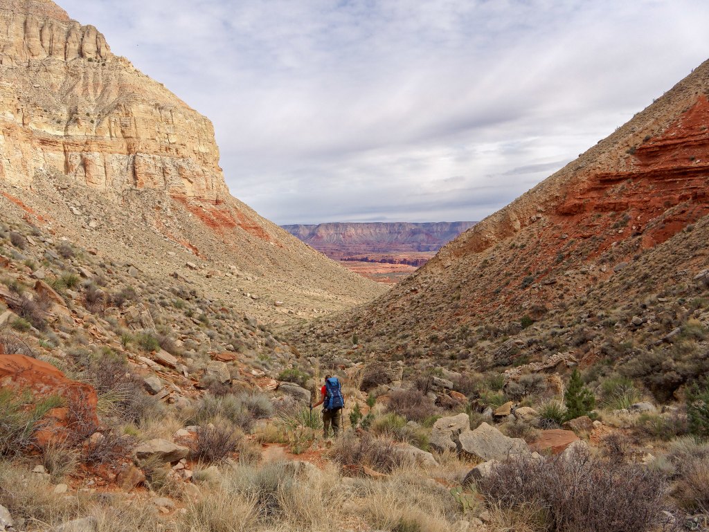
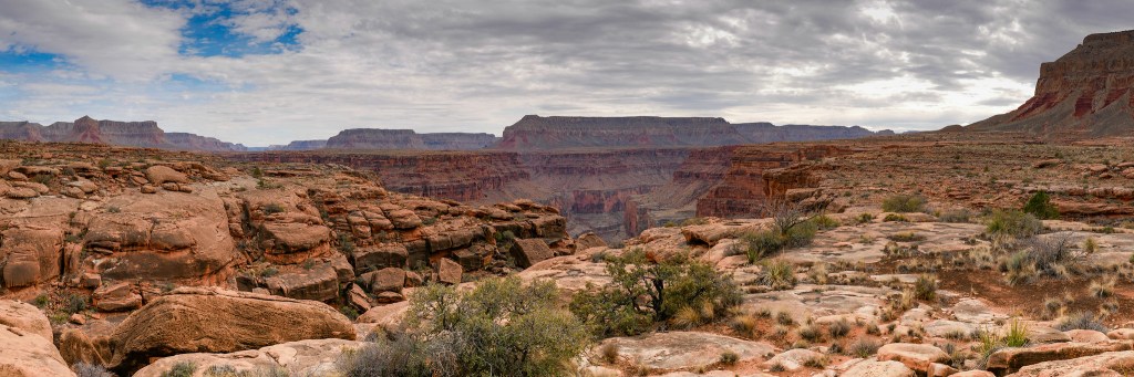
… as we made our way down the Tuckup Route toward the Esplanade, a broad shelf within the canyon that is situated below the rim and above the river.
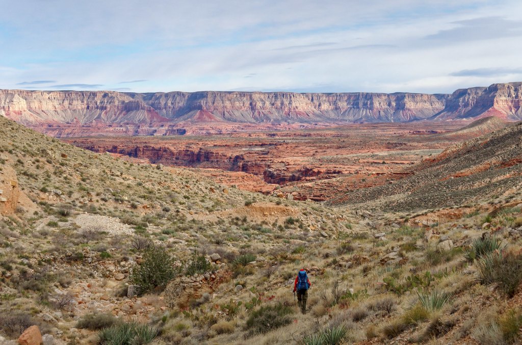
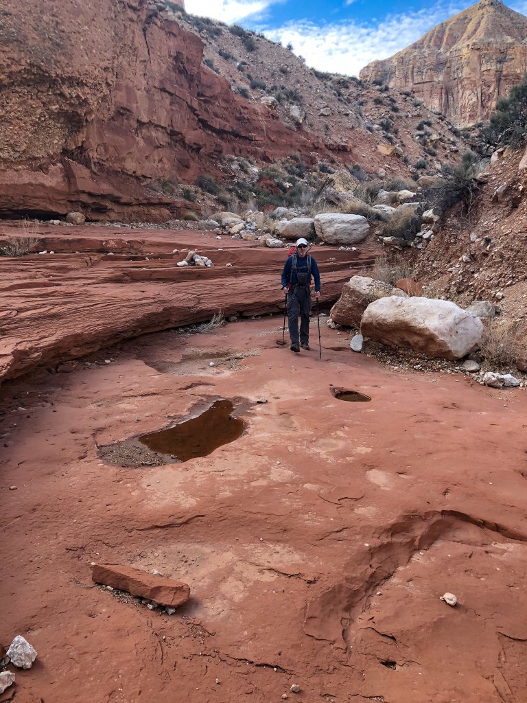
Generally speaking, the Esplanade sits atop the Supai layer of rock in the Grand Canyon. We paid a lot of attention to the Supai as this is where we would find the life-giving potholes of water. While we did not yet need water, we were reassured to see these potholes early on our trip.
Seven years earlier when we first hiked on the Esplanade while doing the Thunder River/Deer Creek Loop we found the going to be very easy and we were hopeful that hiking the Tuckup Route across the Esplanade might be similar. Well, it was sometimes and we enjoyed it while it lasted.
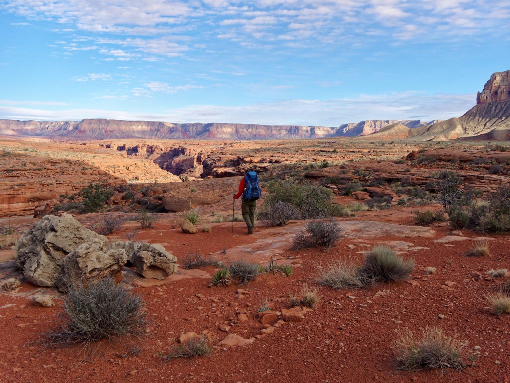
We began the long traverse around Boysag Point.
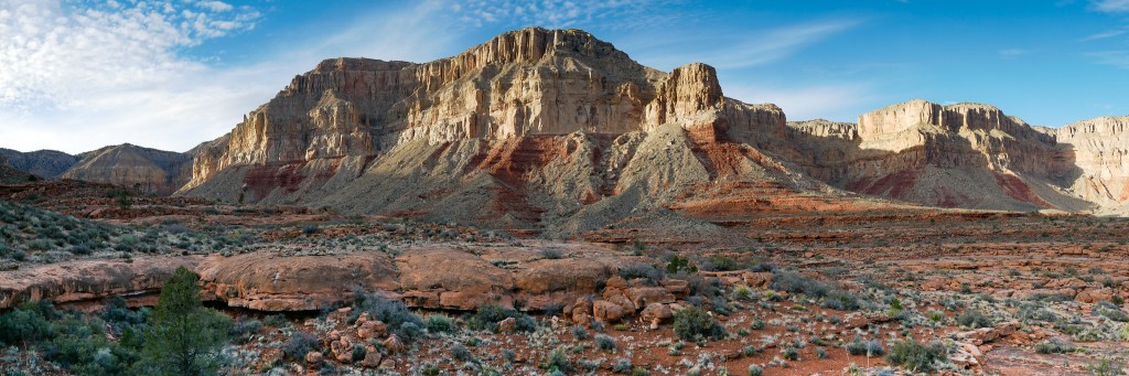
Later in the day we encountered something we would encounter countless times on the Tuckup Route; a side canyon. Each time we encountered one we had to find a way across it or around it.
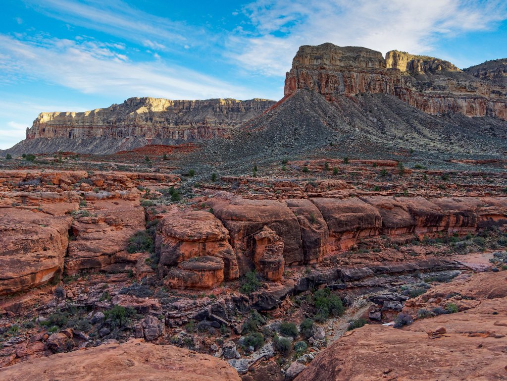
We had both recently downloaded the Gaia GPS app to our iPhones and surprisingly, Gaia did show a route for Tuckup. However, it was more conceptual, and it bore only a general relationship to the direction we needed to go. At times, it ignored the actual terrain we encountered. For example, in the image below the route according to Gaia is indicated in red. It seems to believe we were capable of levitating across the side canyons. Unfortunately, we couldn’t so we had to take the long way around side canyons and the blue line marks where we had hiked.

It was a new experience for us to be forced to do so much route-finding. It was time-consuming and I felt a bit anxious as it was getting late and we needed water. Hotel Spring was the closest reliable source of water but first we would need to find it. Luckily, John had made note of the locations of some large potholes that Bob Bordasch had called out in his trip report …

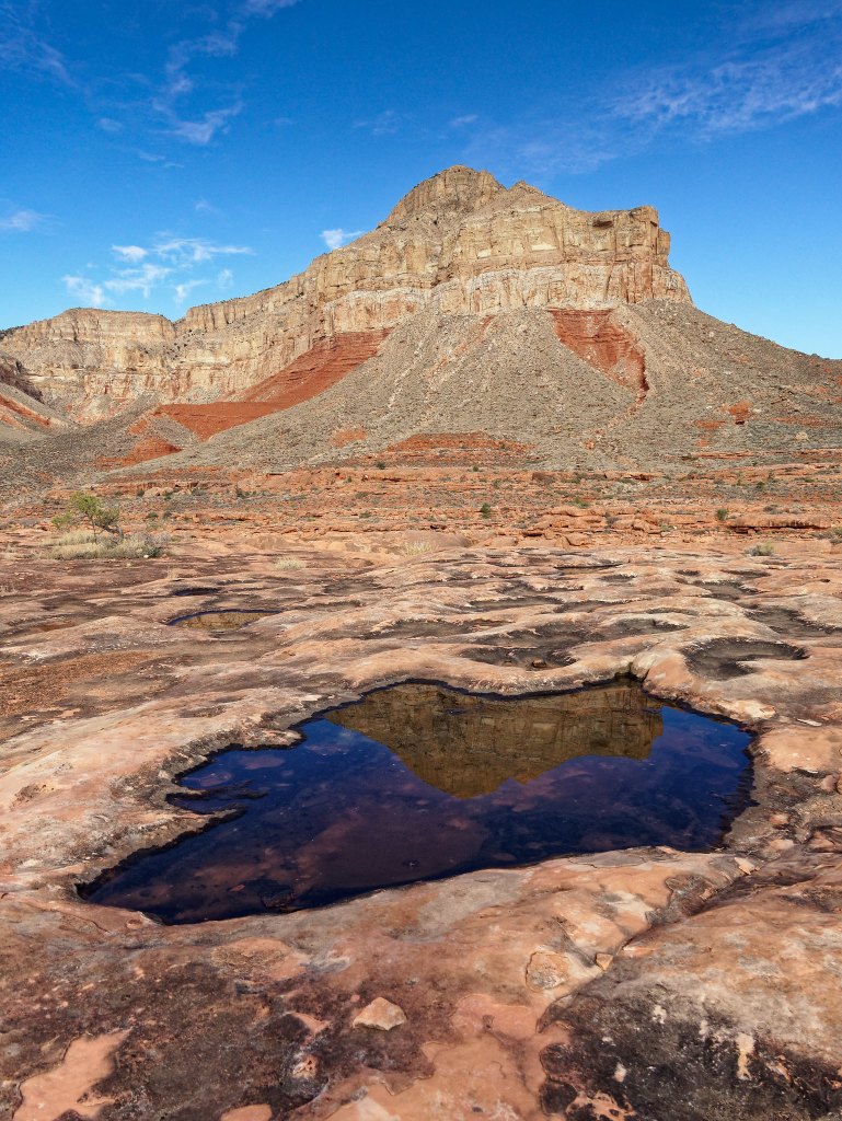
… and he was able to easily find this one, so we did not need to locate the spring.
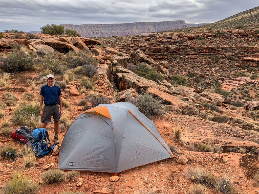
We set up camp nearby.
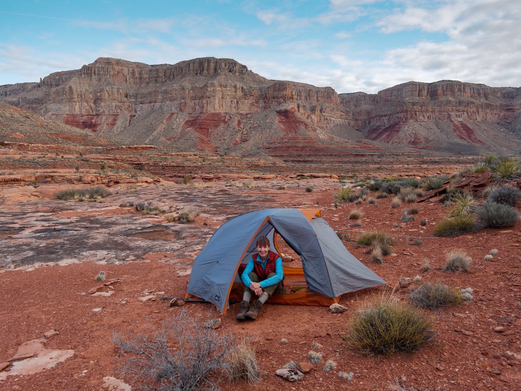
The next morning, we headed out thinking we were leaving Boysag Point behind us.
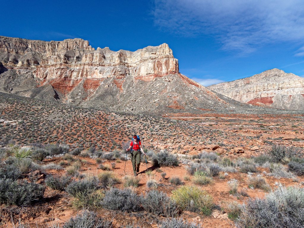
However, Boysag Point is more than a single point. Rather it is an enormous feature that would be our companion for some time, and it made us feel quite small and insignificant.
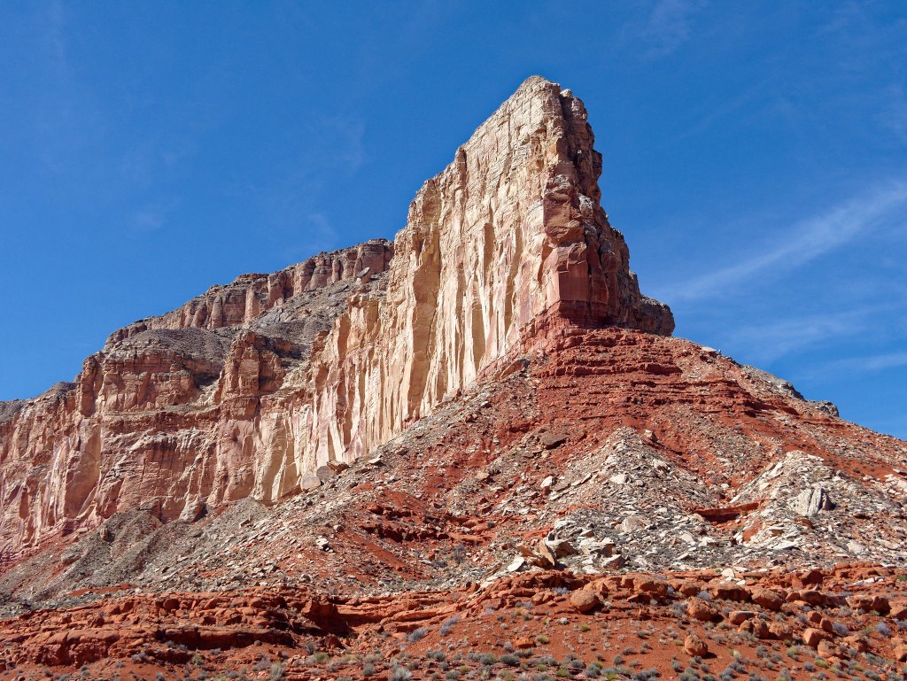
Hiking on the Tuckup Route reminded us of what we love so much about hiking the Tonto Platform, the other broad shelf within the canyon that is situated below the south rim and above the river (but lower than the Esplanade). The expansive views up to rim, …
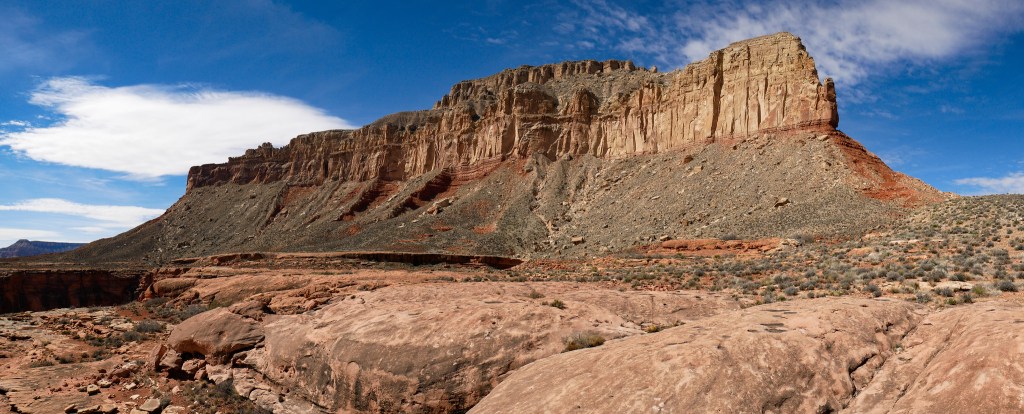
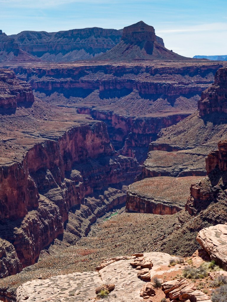
… into side canyons, down to the river and across to the opposite rim.
After all the brush we had encountered on other parts of the route, hiking directly on the Supai was a joy!
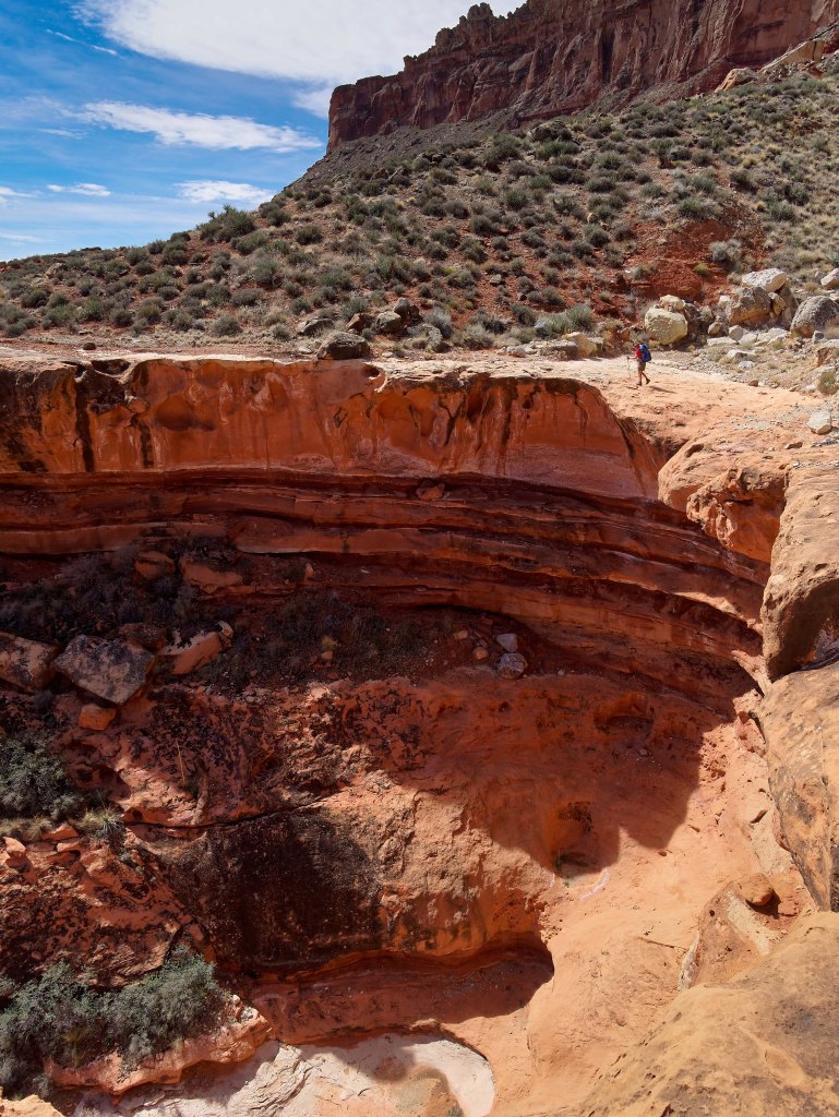
One of the best parts of this trip was solitude. It was absolute! In the six days we spent on this portion of the Tuckup we did not see another soul. Granted, had we had a problem we were completely on our own, but we accepted that risk. We carry a reasonable assortment of first-aid supplies and in this wide-open area our Personal Locator Beacon would have worked. Also, we had instructed our son, Dan, to make an “overdue hiker” call to the National Park Service if we did not contact him by a certain date and time, 48 hours after we intended to be back. In the past we would have had him make the call when we were only 24 hours overdue. However, on past trips we have at times had to modify our itinerary and come out late so we allowed ourselves an additional 24 hours on this trip before the Park Service would be notified just in case. The last thing we want is for Park Service rangers to launch a search for us if we didn’t really need it.
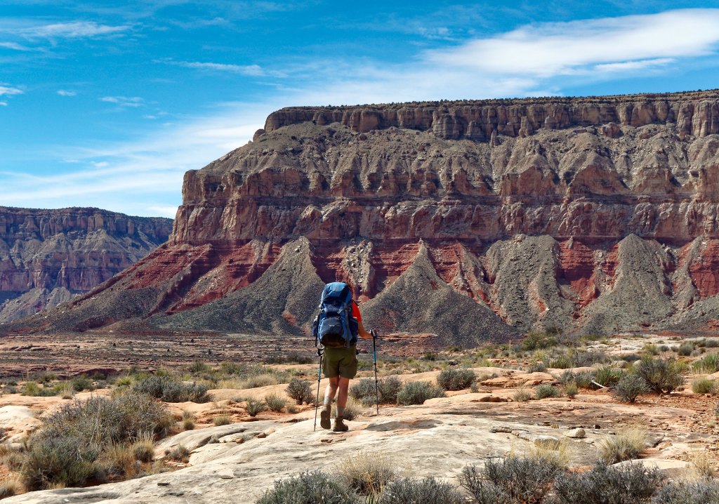
Early that afternoon we found another large pothole.
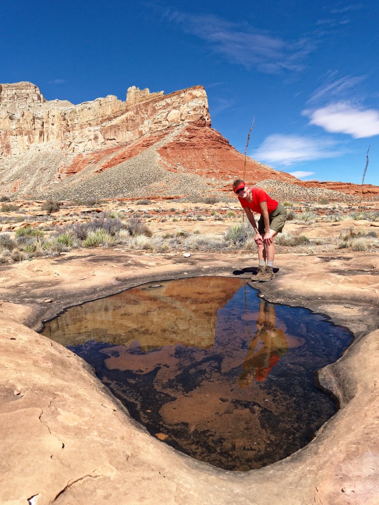
Because our very lives would depend on potholes I want to say a bit about them. There is an evolution that takes place and a future pothole begins as a shallow indentation in the rock that briefly holds water after rain or from melted snow, but it quickly dries up.
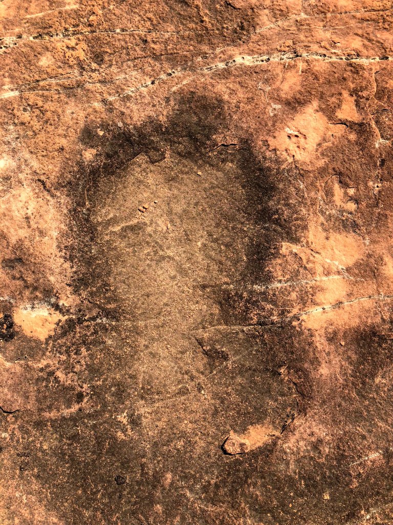
Over time, erosion from windblown sand and grit enlarges it. Particles of dust and debris are blown in and may settle in the bottom of it.
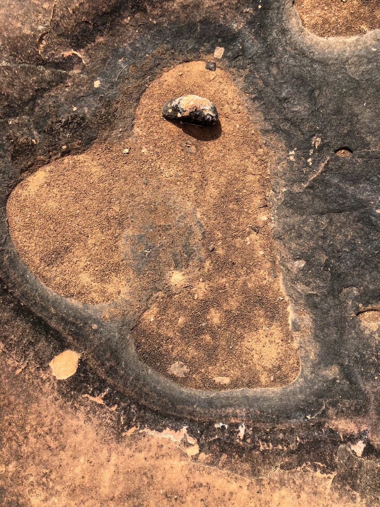
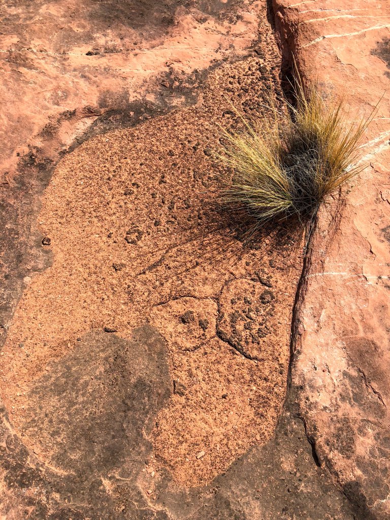
This accumulation of debris enables the growth of bacteria, fungi, and algae which leads to what is called “biological weathering” where the minerals are broken down, increasing the weathering of the pothole. In some potholes, enough sand and debris collect enabling the bacteria to create “cryptobiotic soil” (AKA “biological soil crust”) which may allow plants to take root. It eventually may become a small desert garden.
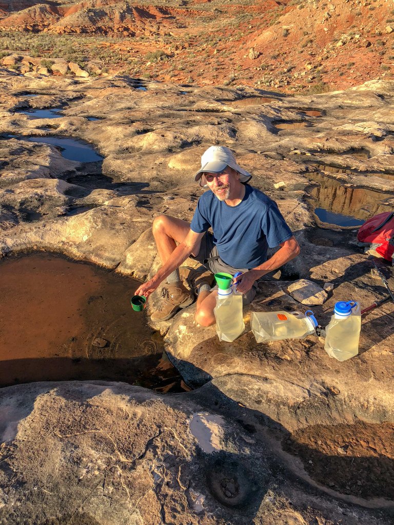
The potholes we were most interested it were the ones that become large, deep and capable of holding water for a more extended period. These are a canyon backpacker’s best friend as it is a simple matter to use a cup to scoop out water.
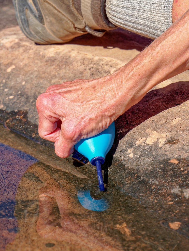
Others are quite shallow and just because it has water in it one day doesn’t mean it will be there the next. In potholes this shallow the best way (if not the only way) to collect water is to use a bulb syringe.
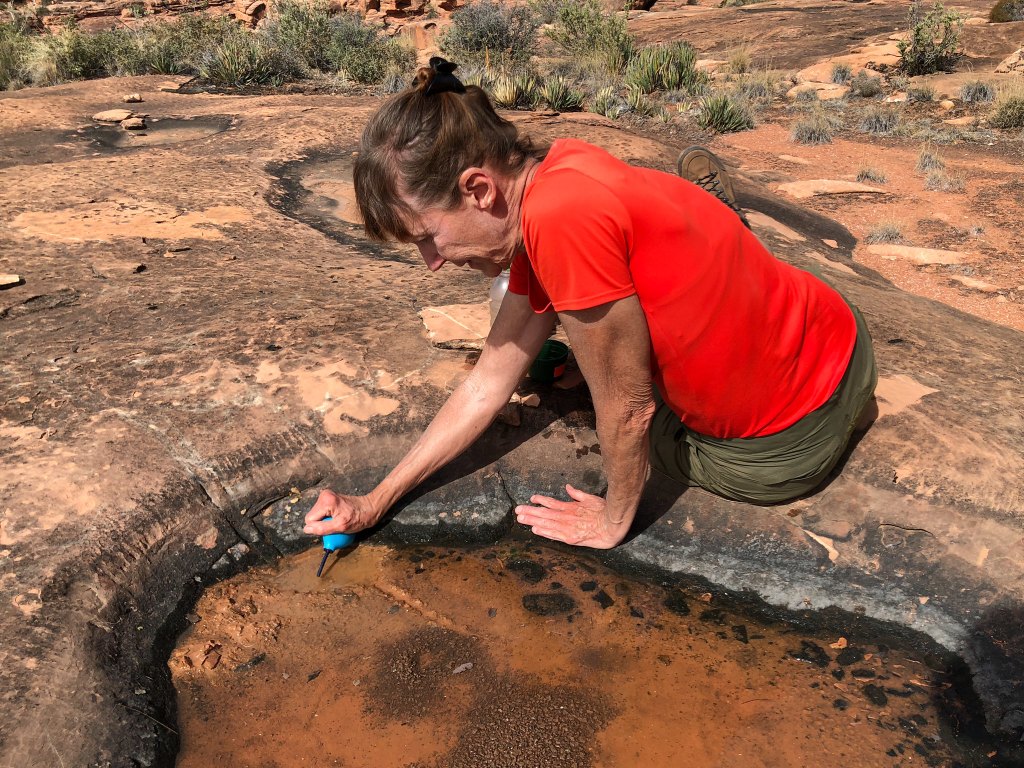
There is a knack to using a bulb syringe to get water out of a shallow pothole without sucking up insects or dust floating on the surface or disturbing the mud on the bottom.
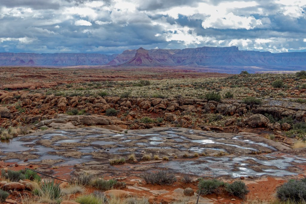
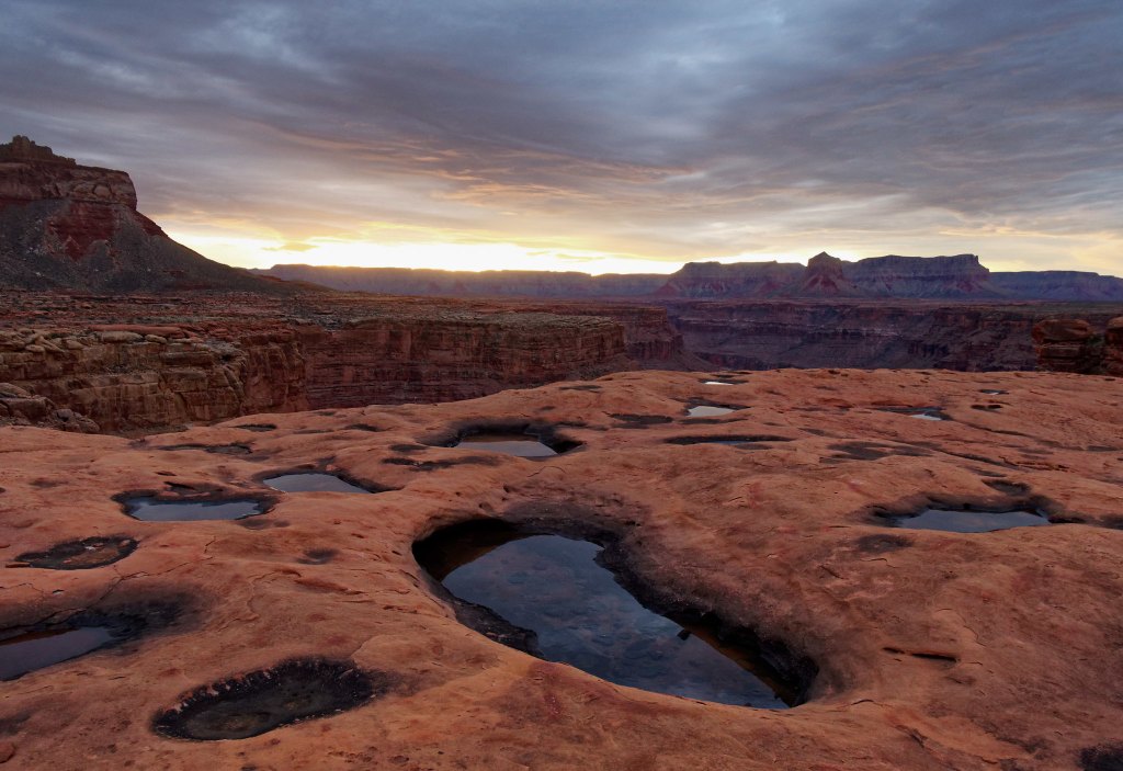
After some rain the Supai layer of rock “shimmers” with many reflections from the replenished potholes. This is truly a beautiful sight for a canyon backpacker!
But back to our trip … we continued and enjoyed views across the river to the South Rim …
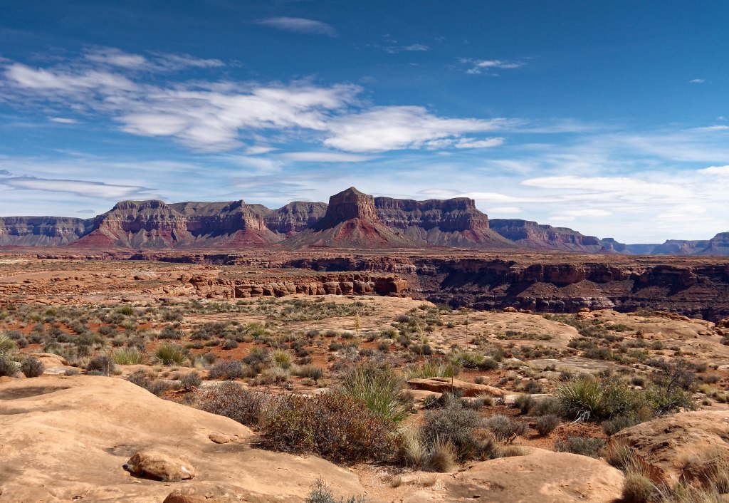
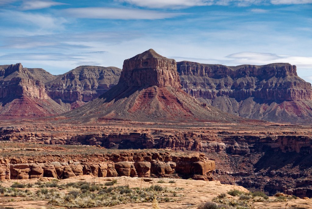
… including a view of the impressive Mount Sinyella. This was another feature which made us feel quite small and like we couldn’t get away from it.
With all the navigation decisions we needed to make we found our progress was not what we had hoped. Normally, going ten miles a day is a leisurely pace for us but with the short days of early spring it became apparent we needed to make better use of our morning daylight. We simply had to get up earlier.
That night we made an interesting discovery. I had recently read an account of a backpacker who had picked up several ticks in the canyon, but I did not give it much thought at the time. However, John had noticed a tick on his pack earlier during that day while we were taking a break. So, that night in our tent I jokingly suggested we both strip, get out our headlamps and check each other out (something that would have been much more fun 20 or 30 years ago). I checked him first and after a certain amount of kidding around I pronounced him “tick free”. He then checked me. When he was looking at my back he said, “You got one” and I admit I didn’t believe him at first. Fortunately, we carried a very good set of tweezers in our first aid kit and it appeared that John had been able to remove it entirely. It really creeped me out and I didn’t sleep as well as I usually do while backpacking. I kept imagining I could feel something crawling on me and more than once I turned on my headlamp to look for ticks inside my sleeping bag.

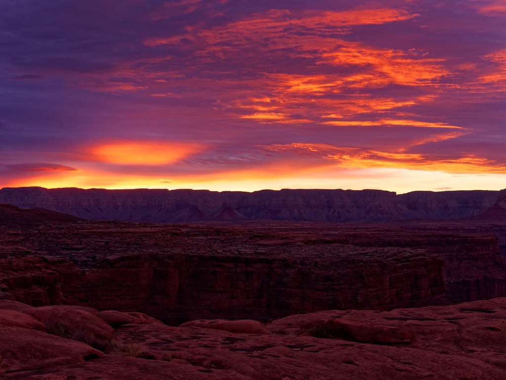
We woke up early and were rewarded with a gorgeous sunrise!
We packed up our camp and headed out earlier than usual but still not as early as we should have.
We were still seeing potholes with water in them. We had read, and our experience confirmed it, that the potholes in the Supai nearer the “outboard” edge of the side canyons tended to be deeper and held water longer than those more “inboard”.
There was some rain in the forecast, and we even felt a few raindrops that morning, enough to put on our pack covers, but the bulk of the rain was not supposed to come until evening.
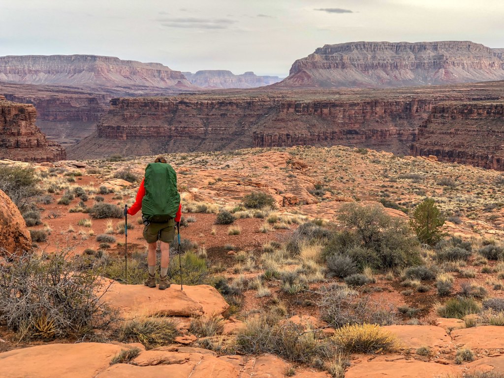
As the day progressed, we noted some dark clouds building to the west.
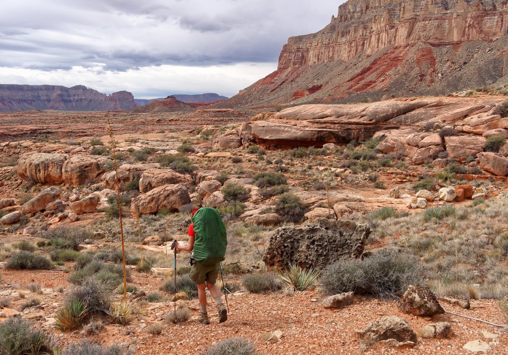
People have inhabited this area in the past and overhangs such as this one may contain evidence of their previous occupation.
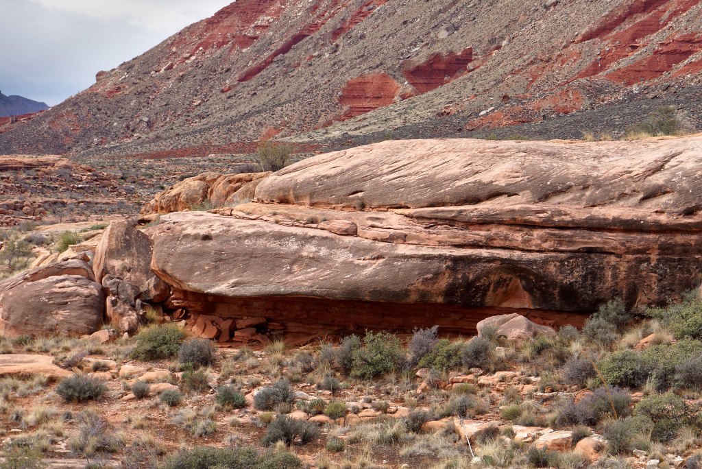
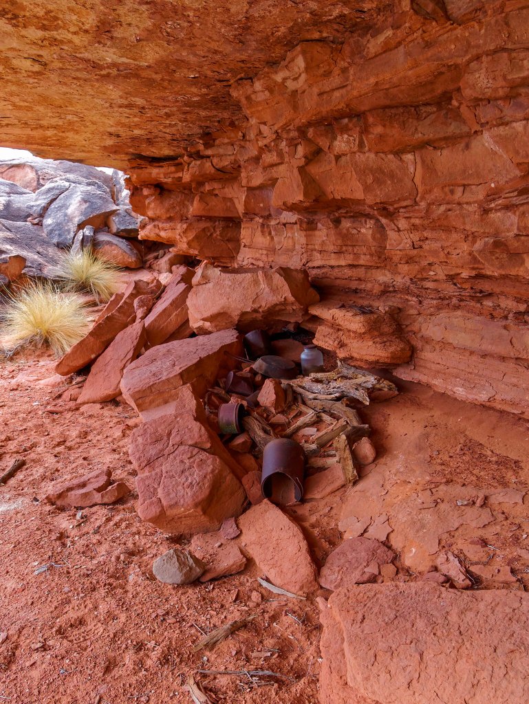
This particular overhang is the location of a former “cowboy camp”. I understand the debris left behind by these earlier visitors, the tin cans and such, are now protected “artifacts” but it still just looks like trash to me.
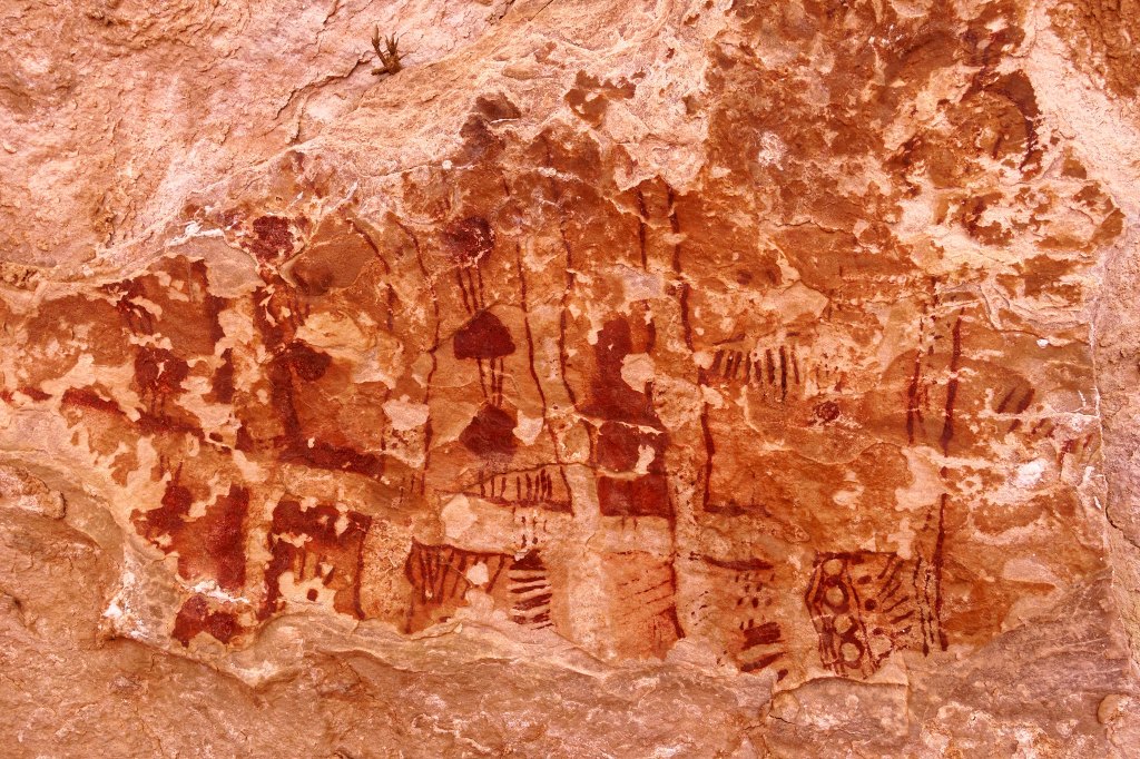
There were also some pictographs left behind by the Ancestral Puebloans who previously inhabited the area. This was not a large overhang, and the pictographs have deteriorated over time, undoubtedly due to exposure to the elements, more than other better protected pictographs in the area which we would see later in the trip.
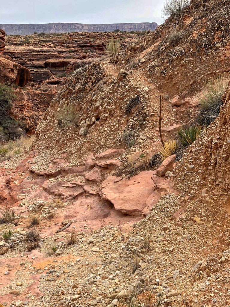
We encountered numerous side canyons and their many “arms”. Carrying that terminology further it would seem we also encountered the many “hands” and “fingers” of these side canyons, and we needed to find our way across or around each and every one of them. It was not hard, just time-consuming. We got excited when we saw any evidence of an established track or even a cairn or two as it meant we would not have to make so many decisions and we could just walk and cover some distance.
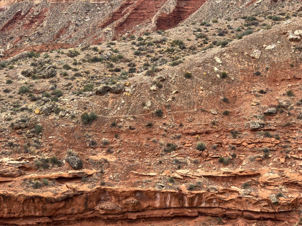
However, we learned that just because someone had gone that way before and built a cairn or left a track did not mean it was the fastest way, the safest way, the easiest way or even the best way. My theory was that younger, fitter hikers look for “shortcuts” over steeper, looser slopes but more patient hikers (meaning older, less physically capable ones like us) prefer less steep traversing routes even if they are longer. Too many times, we followed a rough track up a steep loose slope only to discover we had to immediately descend again. To add insult to injury once atop a steep slope I could sometimes see the longer but easier way we should have gone well below us.
Of course, the biggest issue was where we would find our next water. On that day Cork Spring was the closest reliable source of water. John had studied Bob Bordasch’s map and description of how they got there but it sounded time-consuming. We hiked about halfway around Cork Spring Canyon before stopping. We knew it would take time to locate the spring, so we set up camp early enough to give us a couple of hours of daylight for this exploration.
However, shortly after dropping into the small side canyon we encountered a small pour-over with a decent pool of water at its base. We were thrilled!
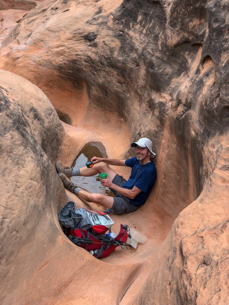
We filled all our bottles and Nalgene Canteens, for a total of about 400 ounces of water, and hauled it back up to camp. We would live to see another day!
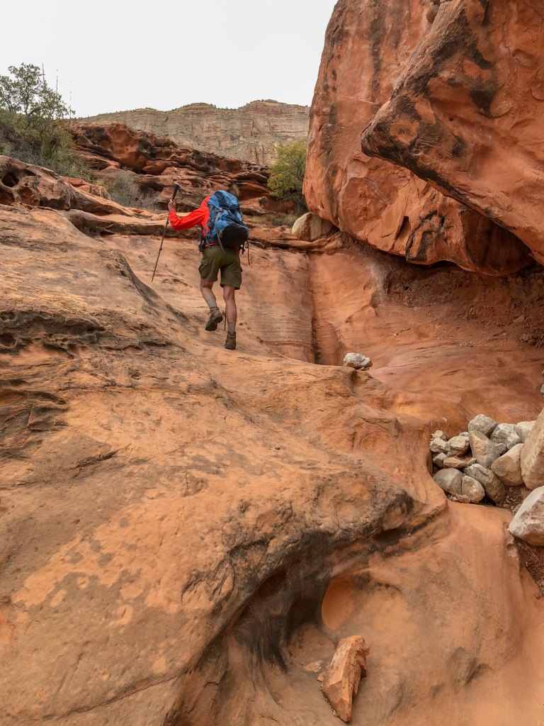
As it had not taken nearly as long to get water, we had an unexpectedly leisurely evening in camp.
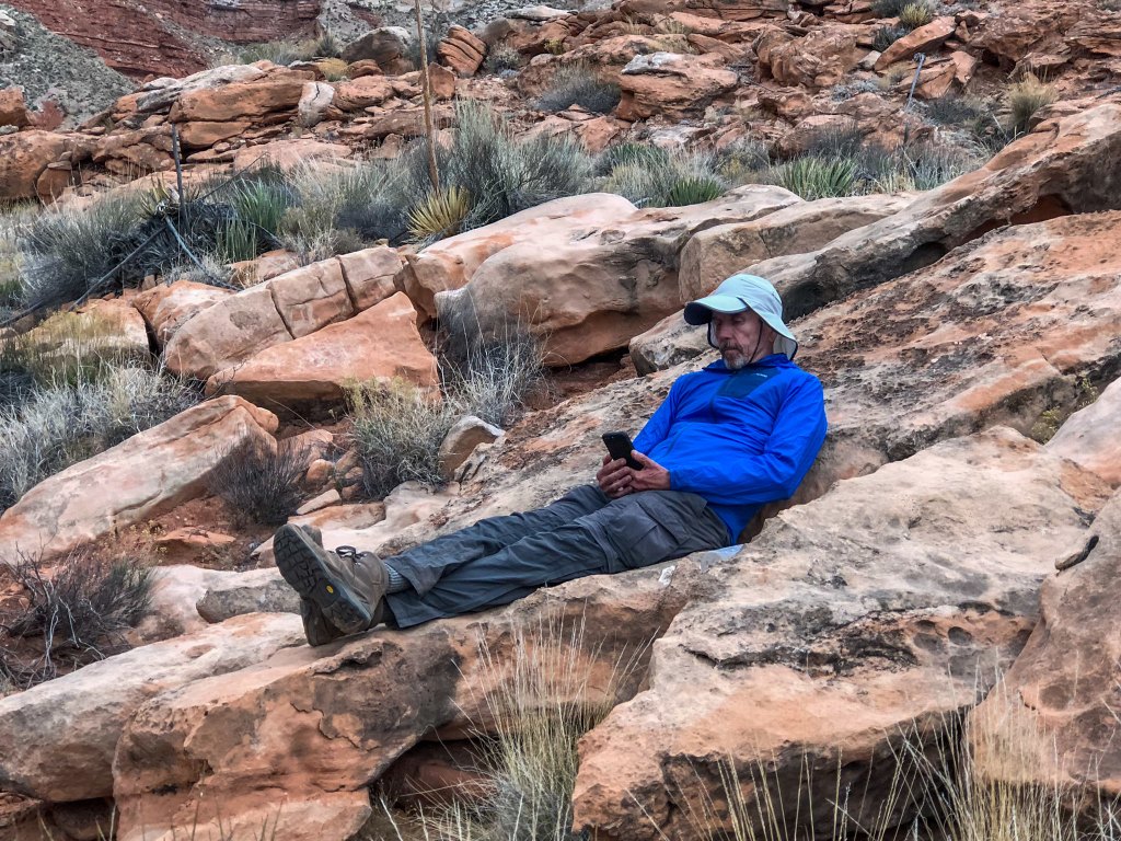
From this point forward we had no intelligence about water so we were really hoping the weather forecast of rain that night would prove to be accurate. And it was! About 10:00 p.m., we began hearing thunder and seeing flashes of lightning and before long it started pouring rain. We had taken that into account when choosing a location for our tent and were confident we were in no danger from flash flooding. We could hear flowing water in the side canyon arm below us. The intense storm continued until about 1:00 a.m. and it then settled down and we finally slept. We intended to get an early start, and it was still dark out while we were having breakfast in the tent. But then, all of a sudden, we were hit by strong winds and pounding hail. Fortunately, it didn’t last long, and the hail soon melted. Once the storm had passed and the sun was up …
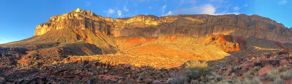
… we left the comfort of our tent, packed up and headed out hopeful the potholes had been replenished.
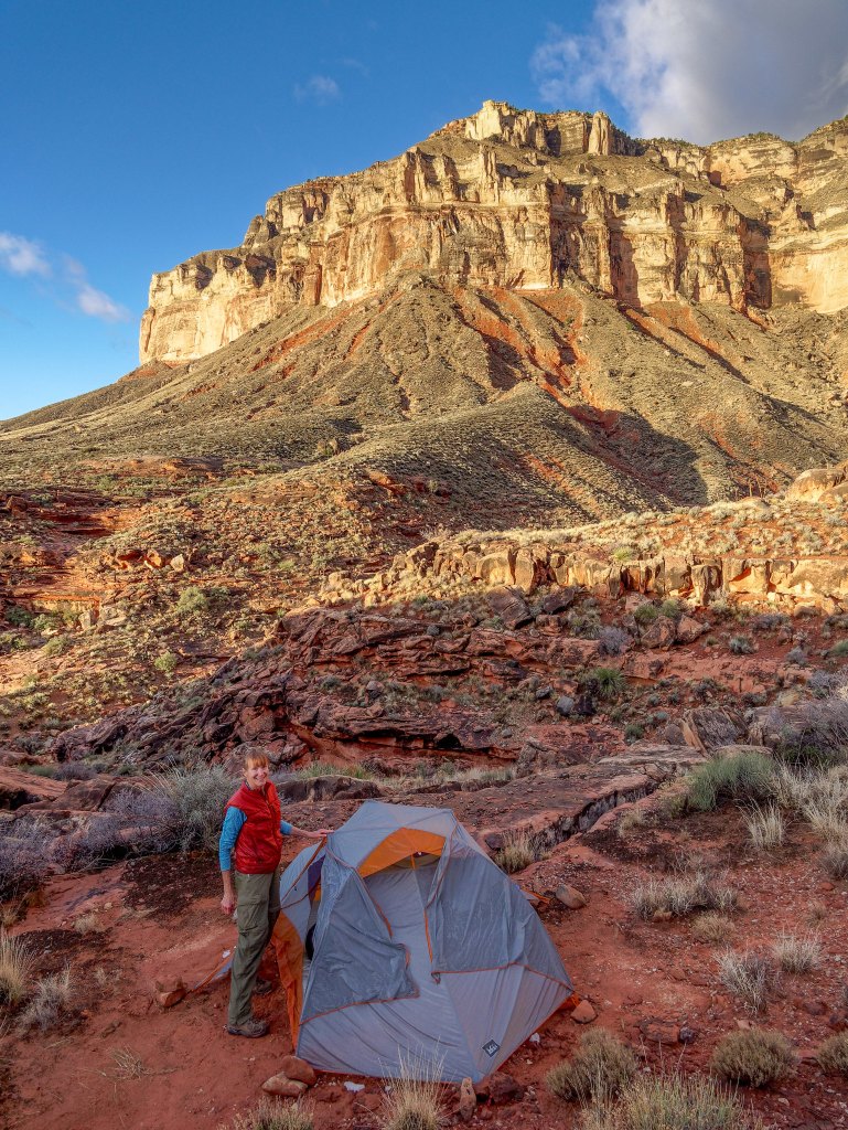
While the sky still held some gray clouds there was no more rain in the most recent weather forecast we had seen.
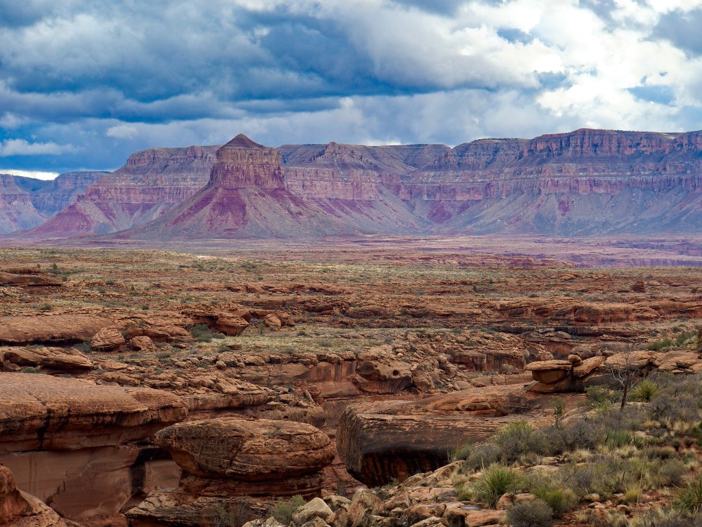
Our only weather-related concern now was whether the road would have sufficient time to dry out before we needed to drive out in two days. But we were prepared. In addition to the equipment loaned to us in case we got stuck we also had extra food, water and clothing in our car just in case we had to wait a day or so before making the drive out.
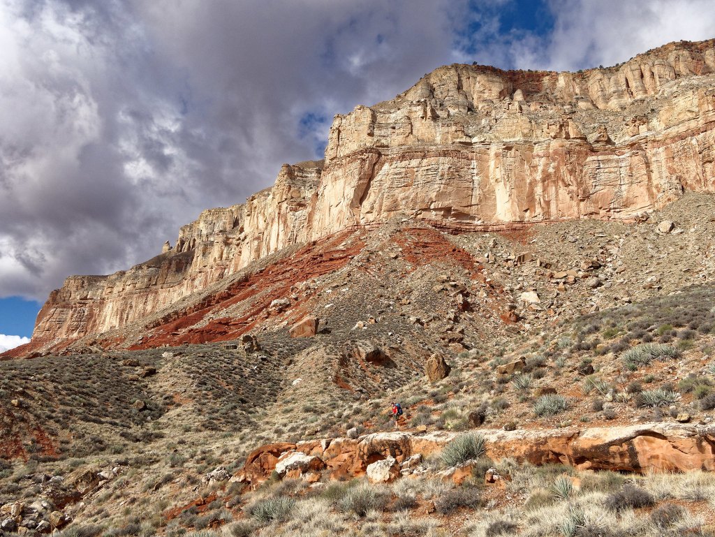
It was so gratifying to look in the distance and see the shimmer of countless potholes.
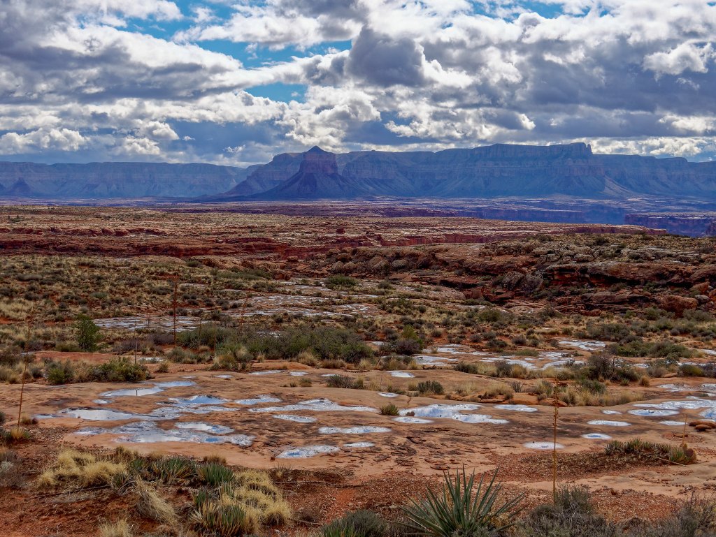
For someone who has not been in the situation of truly not knowing where your next drink of water is coming from it might be difficult to appreciate how happy (and relieved) this view made us feel.
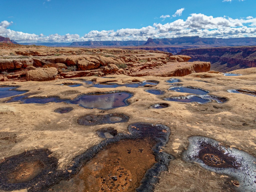
I didn’t realize how concerned I had been about the availability of water past Cork Spring until that concern was eliminated (for the time being).
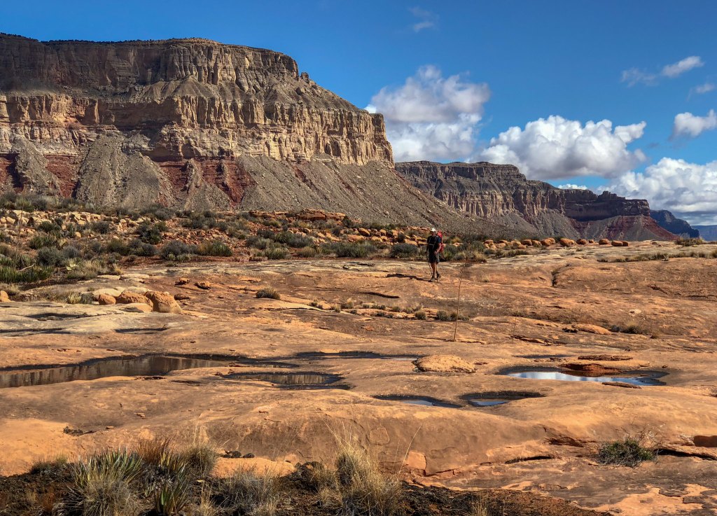
The Tuckup continued its convoluted route …
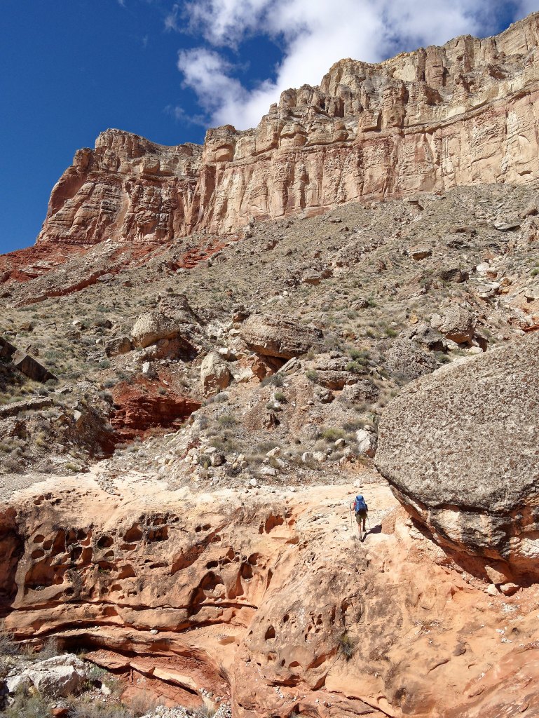
… around the countless side canyons. Although we maintained what, for us, was a steady pace it felt like our progress was slow. It seemed like we just couldn’t get away from Mount Sinyella.
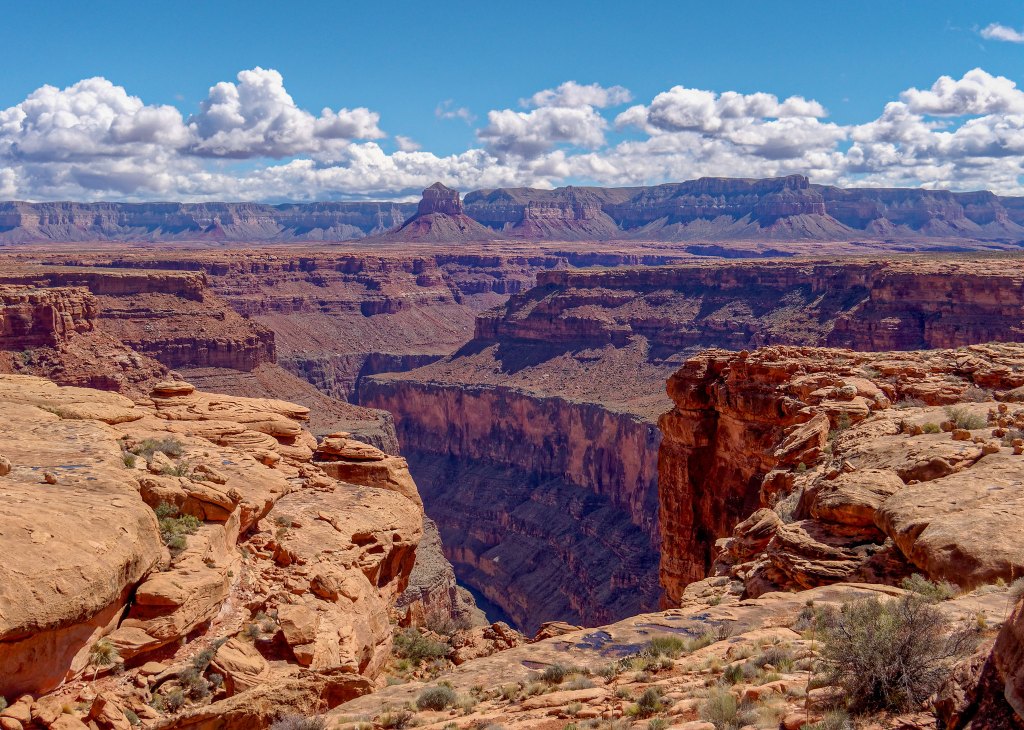
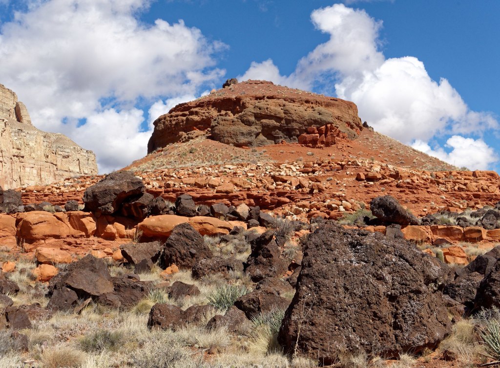
However, we were making forward, if slow, progress and another notable feature came into view: this time, “The Cork”.
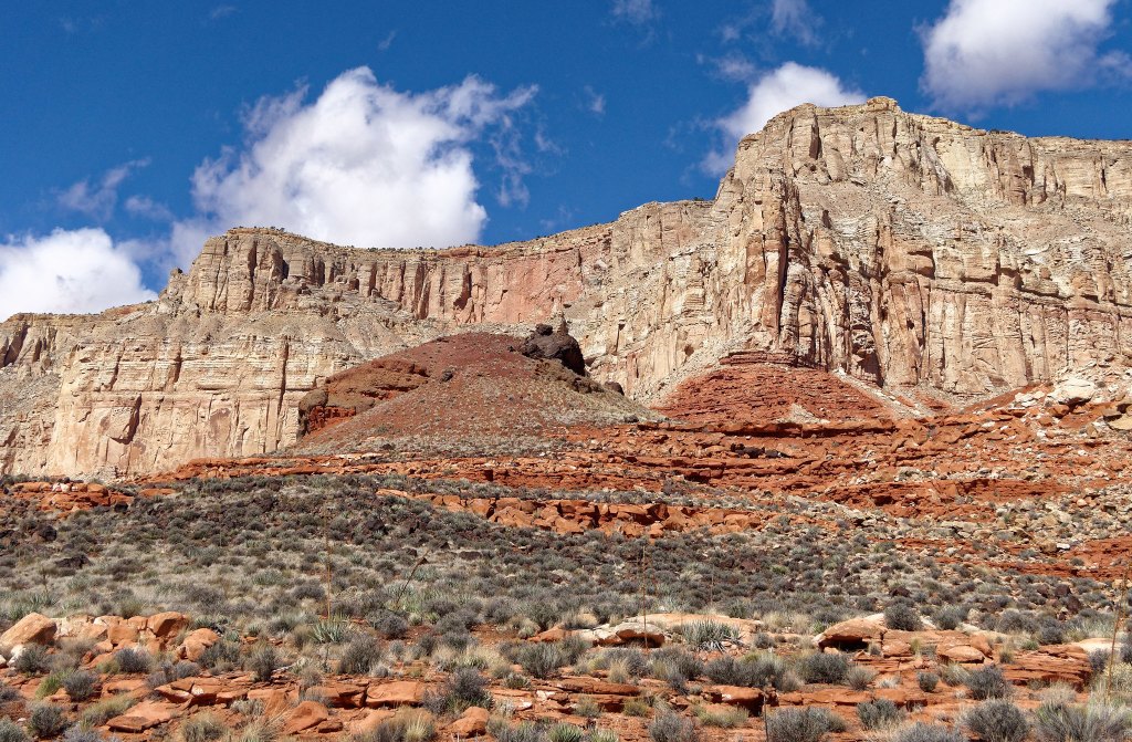
The name seemed more appropriate once we got around it and saw it from the other side.
While we had both developed some decent navigational skills …
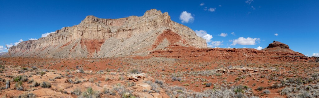
… we still appreciated the presence of an established track (no matter how short-lived) as it gave us a break from decision making (and close encounters with prickly vegetation). As we continued, another dominant feature came into view, The Dome.
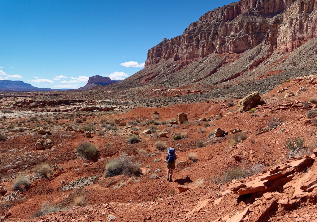
Our destination that day was Hades Canyon.
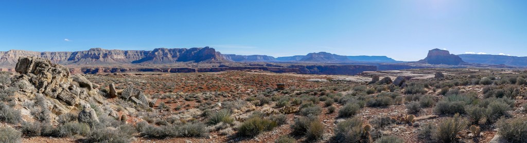
However, late in the day as we were just rounding SB Point, it became obvious we would not get that far.
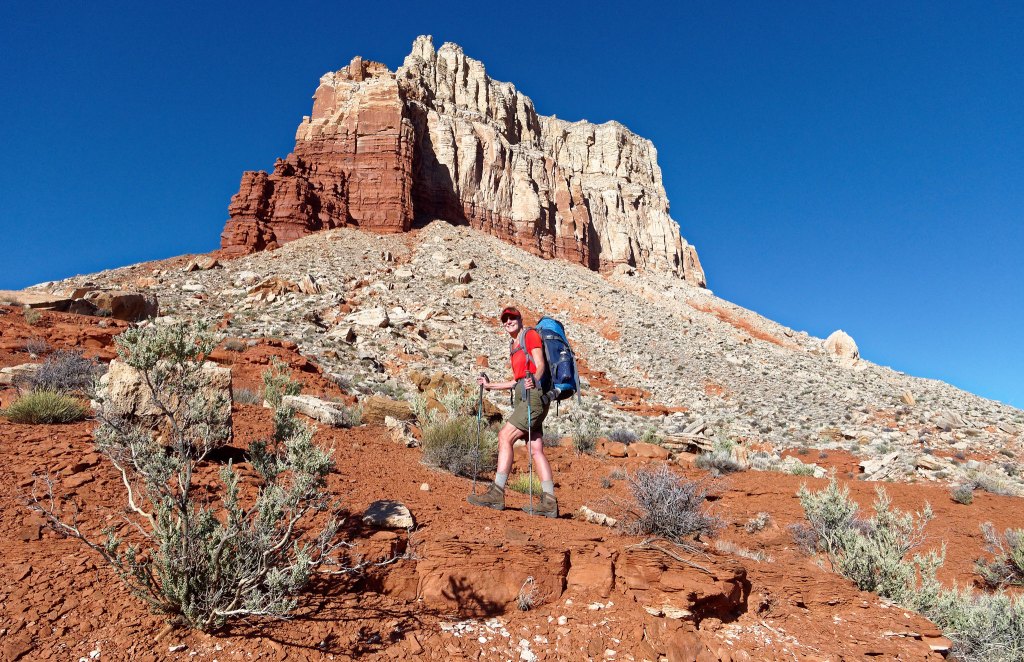
The hour was late and the sight of hundreds of potholes in the distance (as well as our own fatigue) convinced us to stop and camp nearby.
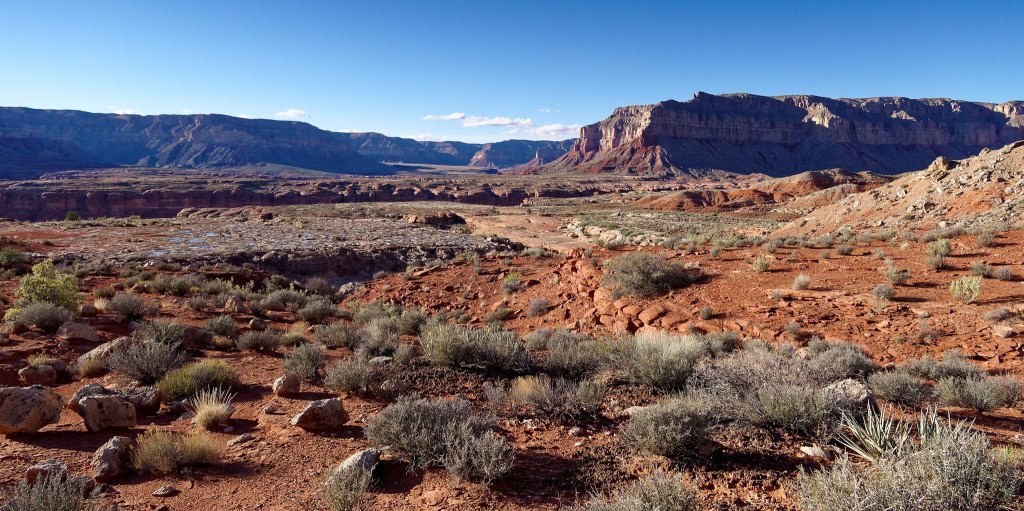
We first headed down to the potholes and had the luxury of being picky. I took some time to find one deep enough so John could use the cup to scoop up the water as well as being next to a comfortable sitting rock.
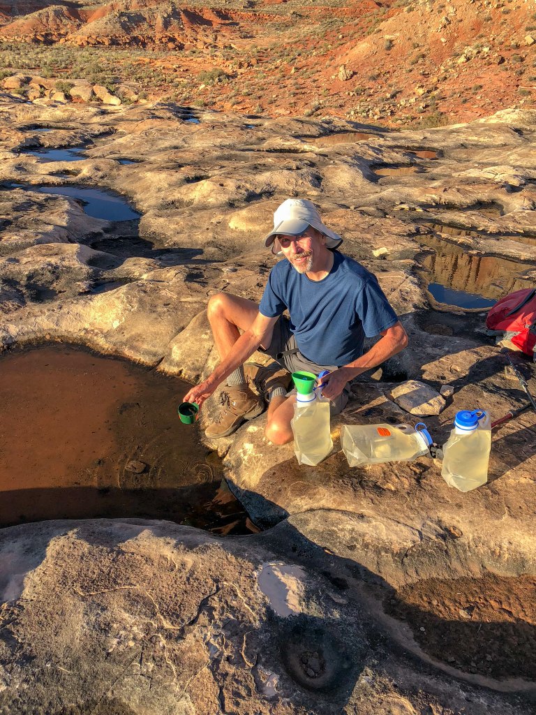
It is sheer pleasure to be able to drink to one’s heart’s content while in the desert! I also took the opportunity to take a little sponge bath. So refreshing!
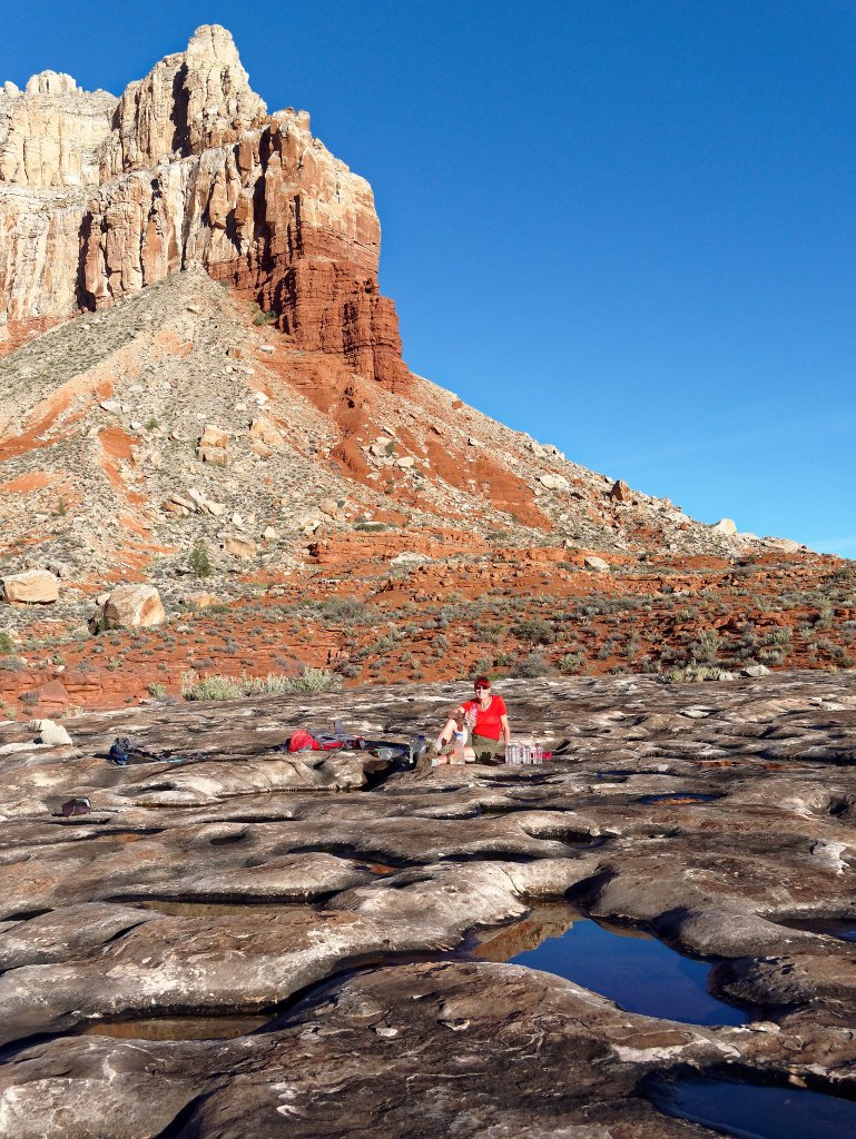
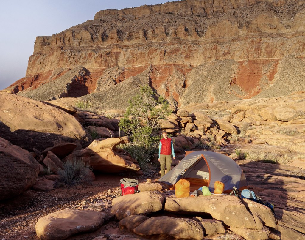
Then it was time for me to set up camp …
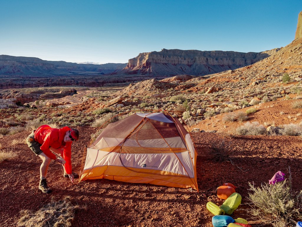
… while John did some photography in what little daylight we had left.
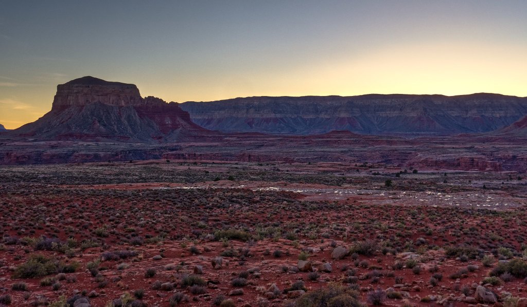
Because we had stopped short of our goal, we had even more miles ahead of us. We fully intended to get a very early start and even woke up at 4:30. But we love our mornings in the comfort of our tent too much and it takes us around two hours to finally get going and be back on the trail. I found it especially hard to leave this place as it was one of my all-time favorite campsites.
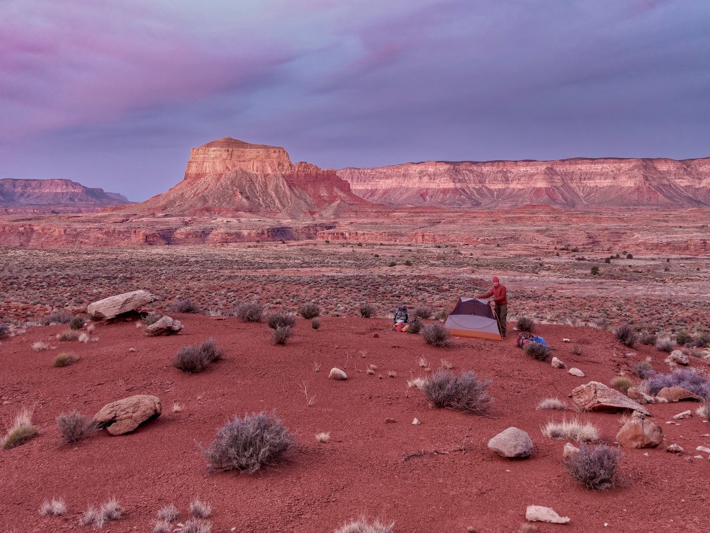
These early starts were hard on John as mornings and evenings are his favorite times to do photography during what photographers call the “golden hour.” Evening chores, such as getting water, cut into his evening and early morning photography time.
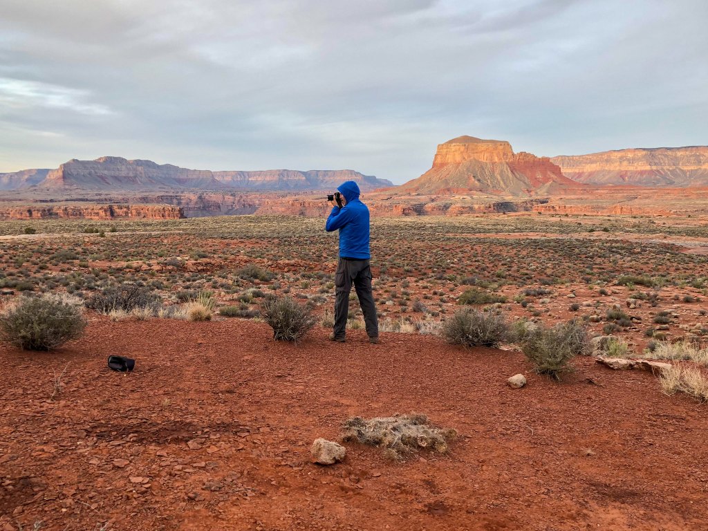
He was a bit frustrated with not being able to take the time he wanted and to wait for better light for the photography he wanted to do. A thought we have when in places that are hard to get to, is we may never be able to come back. So, allowing John the time to do photography is usually a priority.

However, on that morning we both understood we had miles to go and (hopefully) more water to find. Unfortunately, on this rare occasion, John’s photos don’t really capture how I “felt” being there.
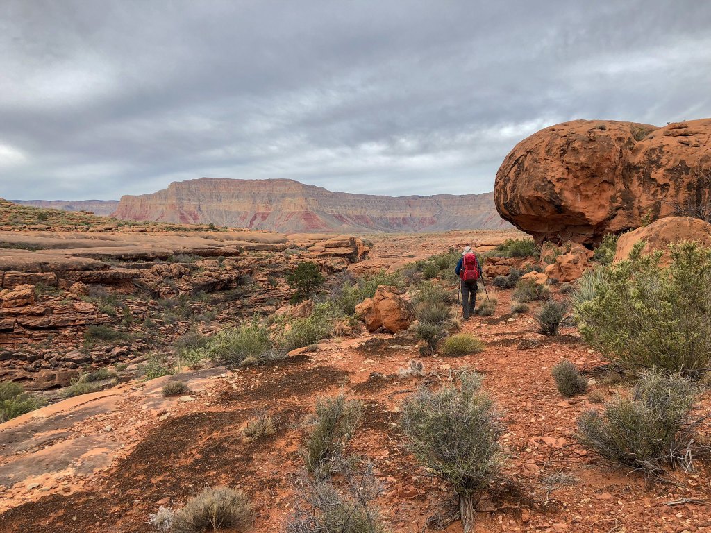
We continued, negotiating whatever terrain was before us.
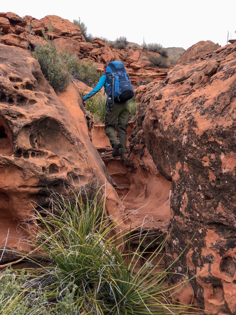
Eventually, Hades Canyon came into view. If, for whatever reason, we had been looking for a way to exit the canyon sooner than planned, then Hades would have provided us with such an exit.
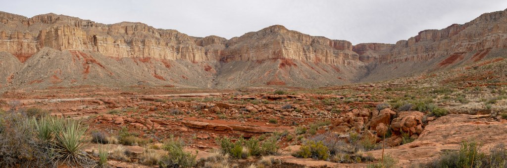
John had read an account of a group who got to the rim by going up the steep, narrow side canyon to the left of center in the photo below.
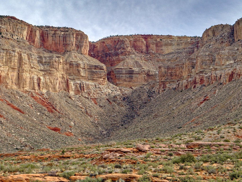
However, we felt no need to end our trip early, so we continued.
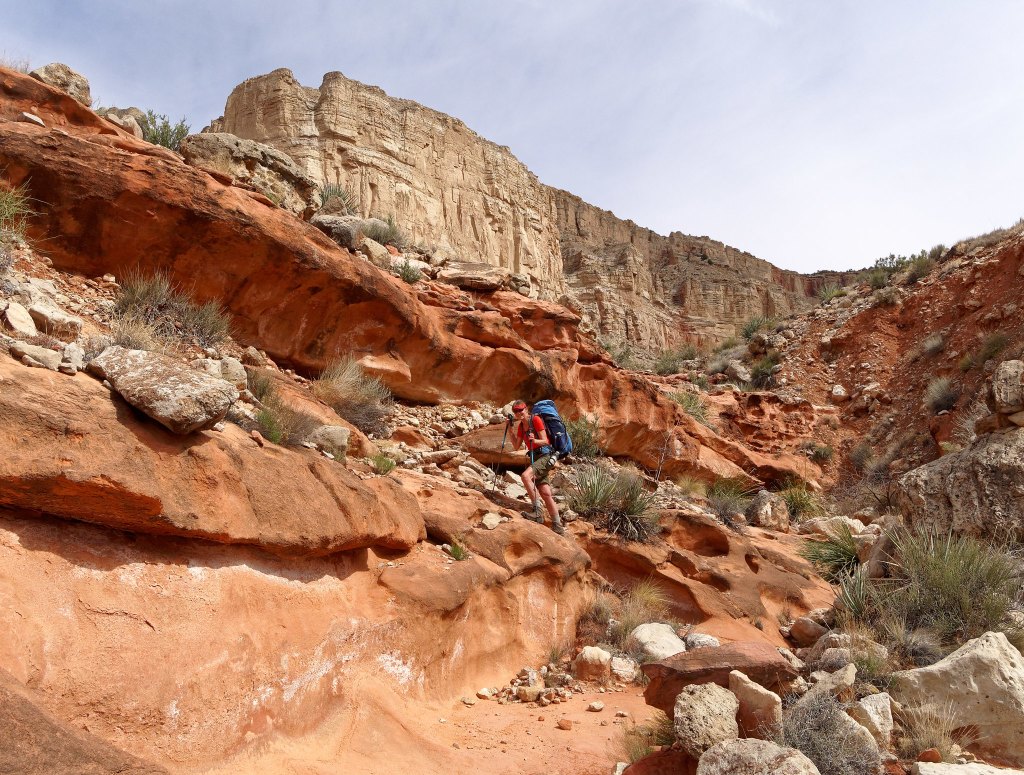
As we made our way around Hades Canyon it became apparent we had chosen wisely by camping where we had the previous night as we did not encounter any water in Hades.
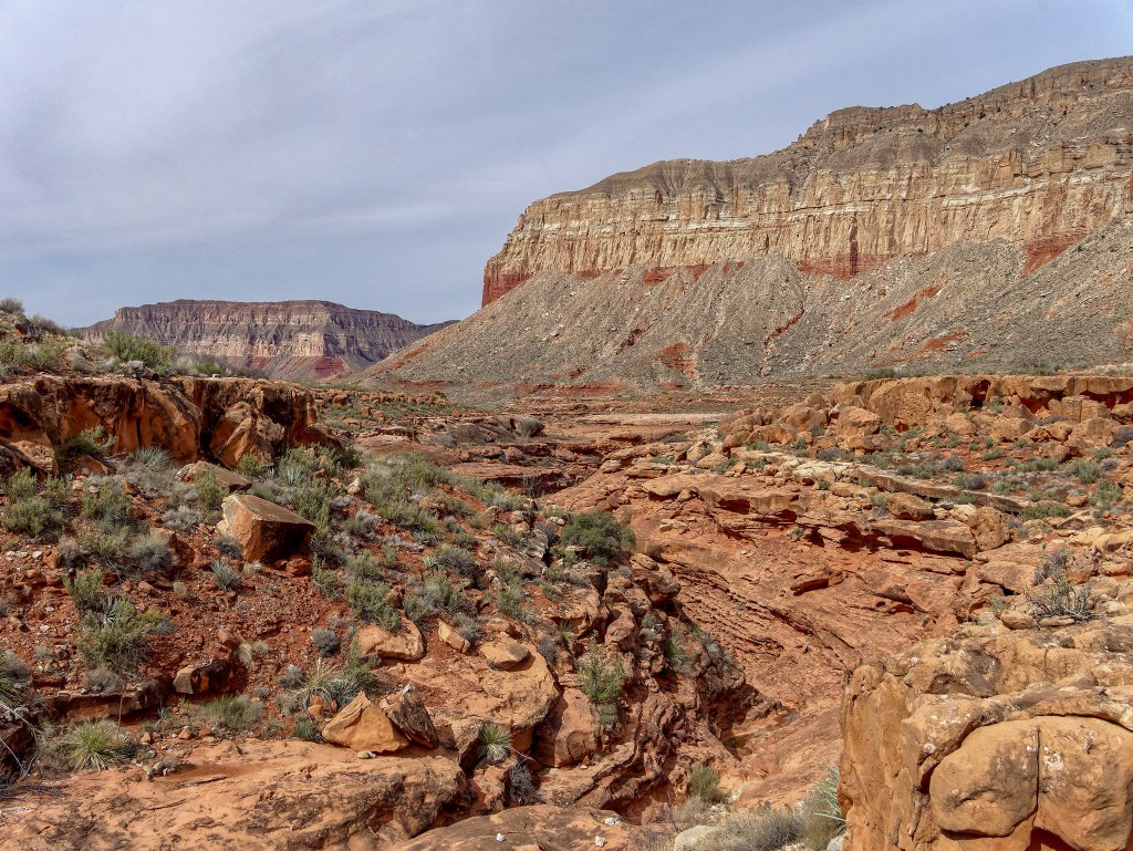
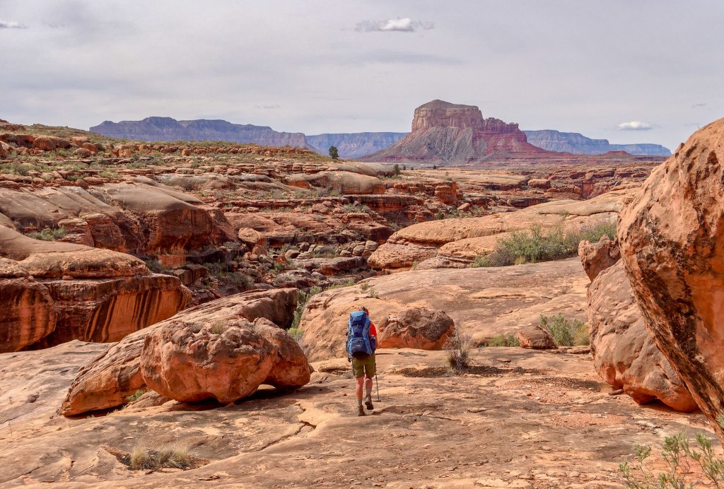
Once out of Hades Canyon, The Dome became our constant companion again.
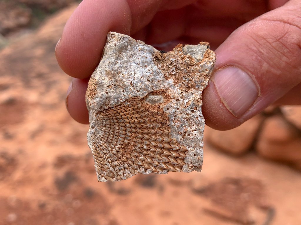
At different times during this trip, we had seen fossilized remains of ancient sea creatures in the Toroweap rock layer.
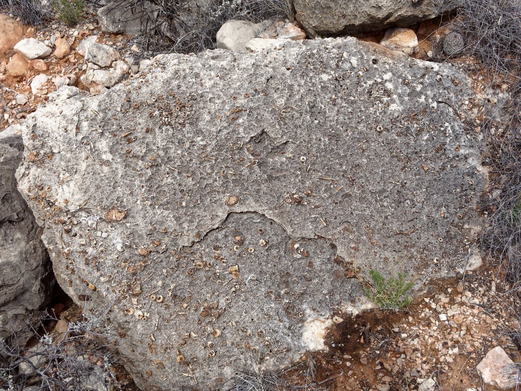
It just seems so incongruous …
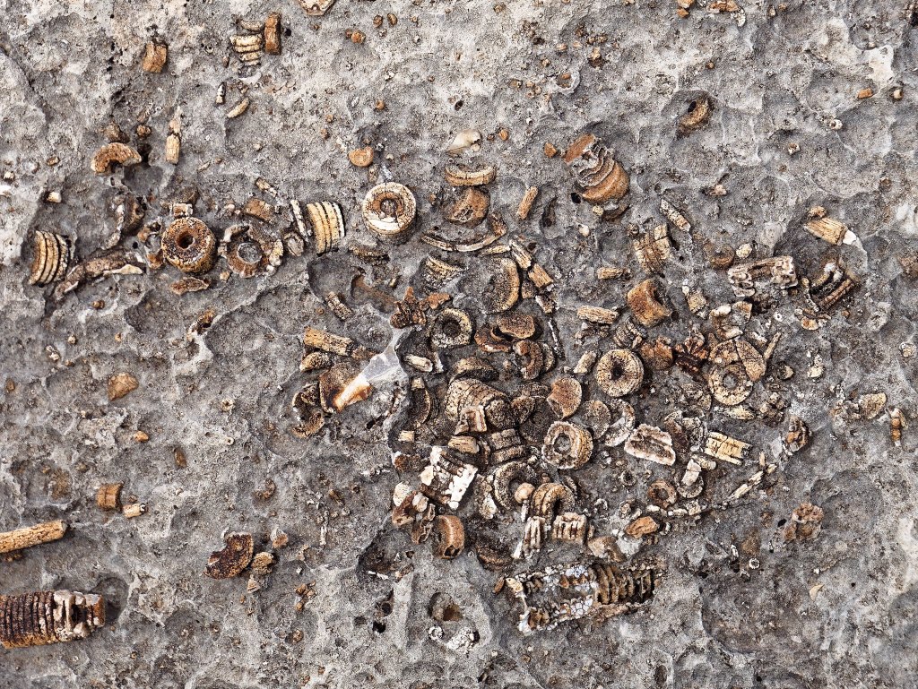
… to find seashells in the desert.
Again, we appreciated the stretches of well-established tracks that enabled us to make some time. However, these well-worn tracks would then disappear in the vegetation. My intent was to stay on the main trail and not encourage the development of “social trails,” but it was time-consuming to try to discern from the multiple tracks which one was the “real” trail so we ended up doing what others must be doing, simply walking where it seemed easier.
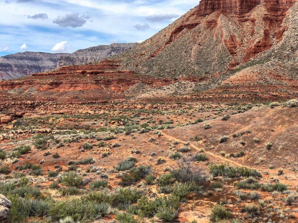
We also inevitably encountered more side canyons that required slower and more careful navigation.
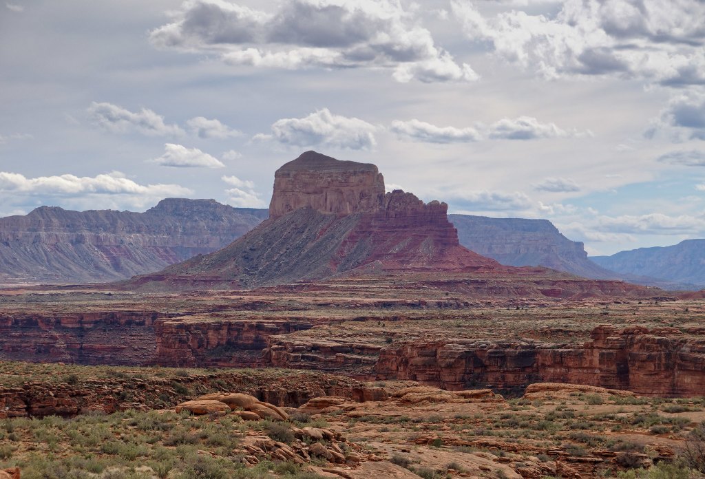
Later in the day we noticed we were no longer hiking directly on the Supai rock layer. We were hiking on rocky sand and there were no potholes anywhere. The nearest reliable source of water was Schmutz Spring, but we were quite a few miles away from there.
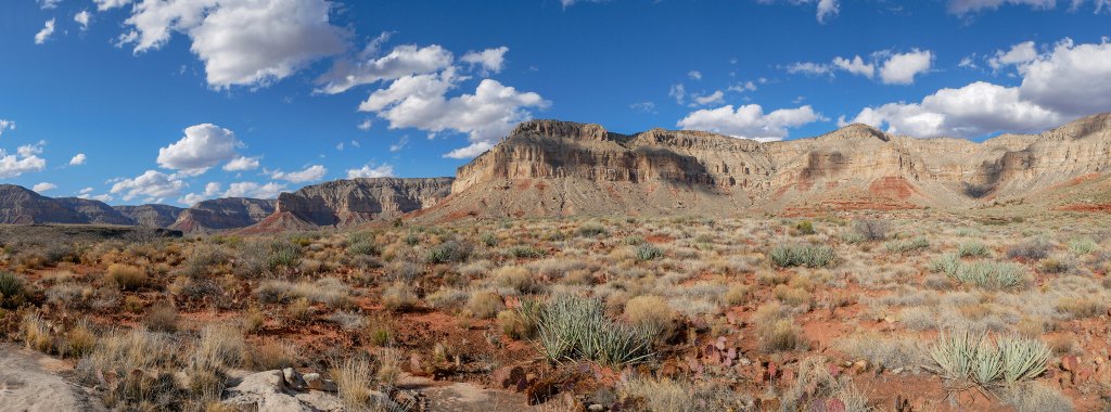
We were finding the terrain more tedious or maybe it just seemed that way because we were anxious about water. We had hiked down Tuckup Canyon from the Schmutz Spring Trailhead before, so we knew that route would be way faster than the rocky/brushy “official” Tuckup Route. We could see the smooth gravel bottom of a side canyon that would lead to Tuckup Canyon. So, we dropped down into it and thoroughly enjoyed the easy walking. We were making great progress until we reached a series of pour-offs we were unable to get down safely. We were disappointed to see we were still way too high above the bottom of Tuckup Canyon.
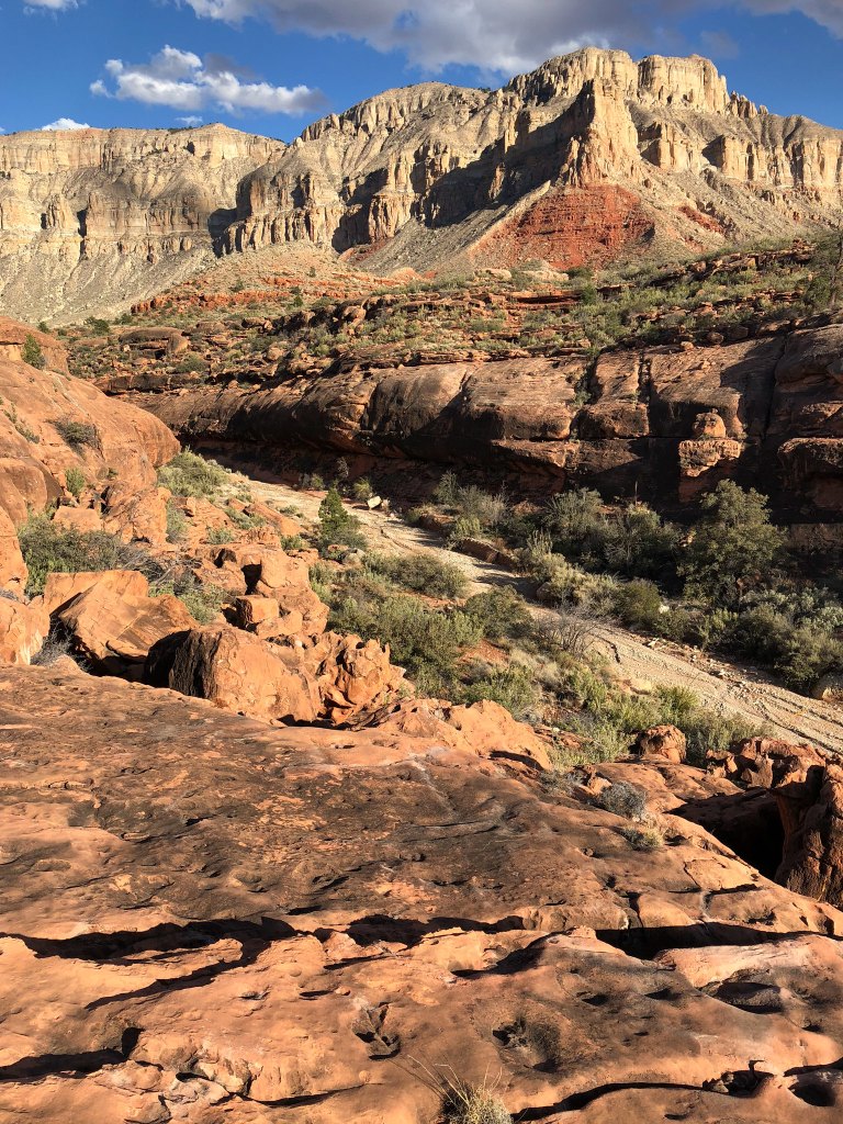
We had no other option but to backtrack and find a way back out of this side canyon, back up to the Tuckup Route and continue forward. It was discouraging as we had lost valuable time and had gained nothing.
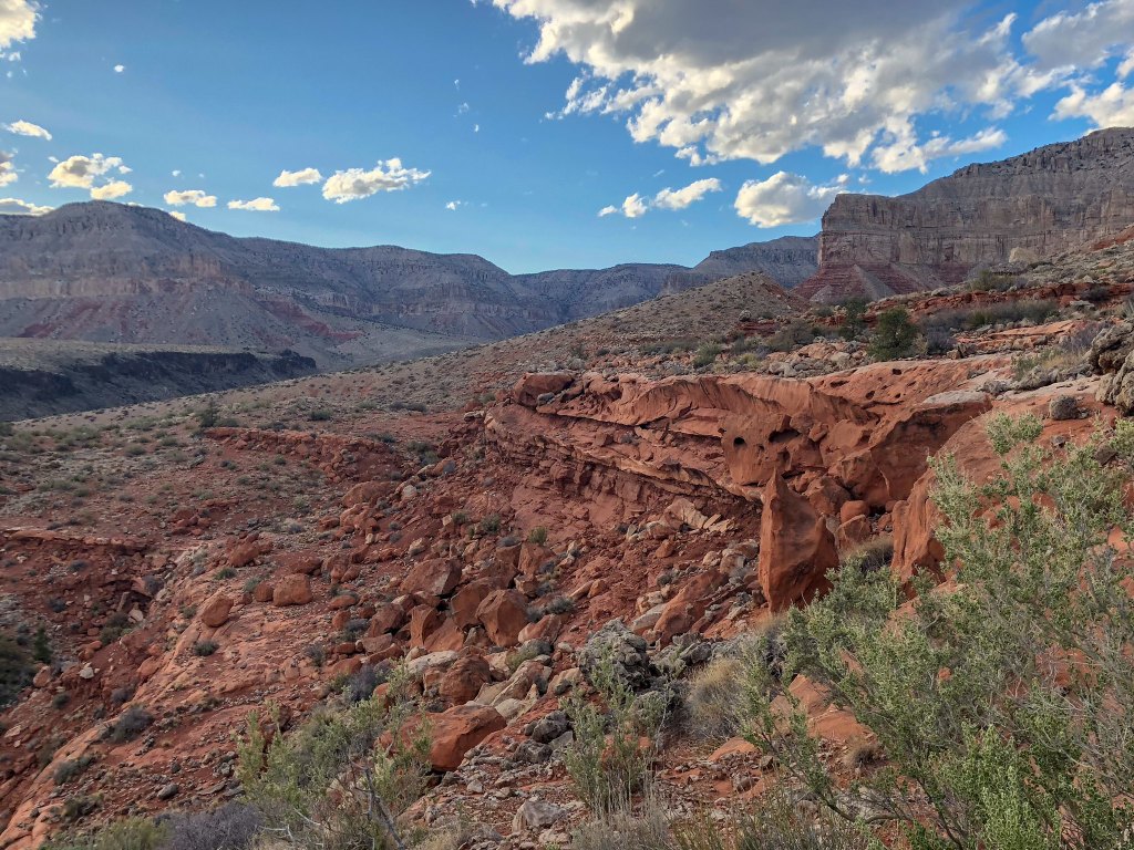
We were both becoming concerned about our situation. We still had some water, and it was getting cooler, so we were not in danger of deadly dehydration. One possibility was to dry camp, skip supper and breakfast, be moving at first light and hightail it to Schmutz Spring. However, that would decrease the likelihood we could then hike all the way out that day.
The other option was to continue hiking after dark and hope we could not only get to Schmutz Spring safely but actually locate the spring in the dark. We have done plenty of night hiking by headlamp but on actual trails and the rough terrain we needed to negotiate could make it challenging, even dangerous. I was quite nervous about that prospect. We approached the next side canyon with hopes we could use it to get to the bottom of Tuckup Canyon. As we looked for a safe way to descend into it, we saw the most beautiful sight in the growing darkness. A reflection …
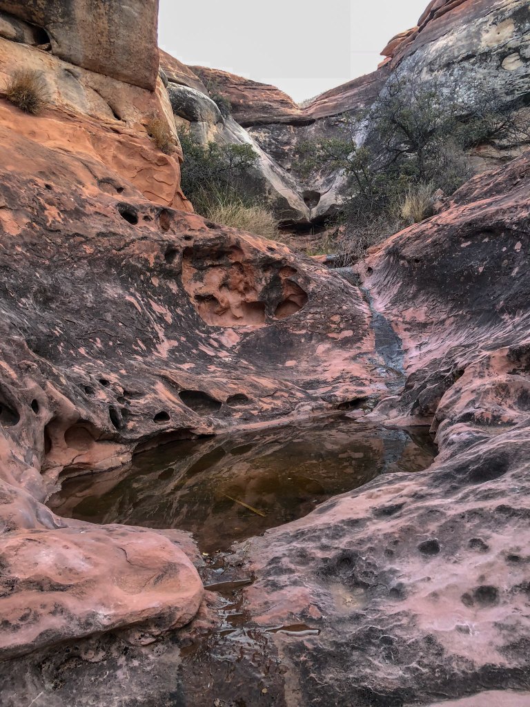
… from a deep pool of (reasonably clear) water!
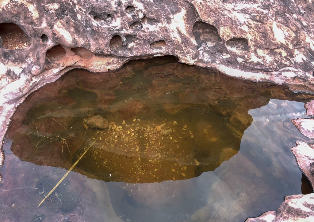
As we made our way carefully down to it, we also discovered a (relatively) flat spot just barely big enough for our ample tent nearby. It was such a relief!
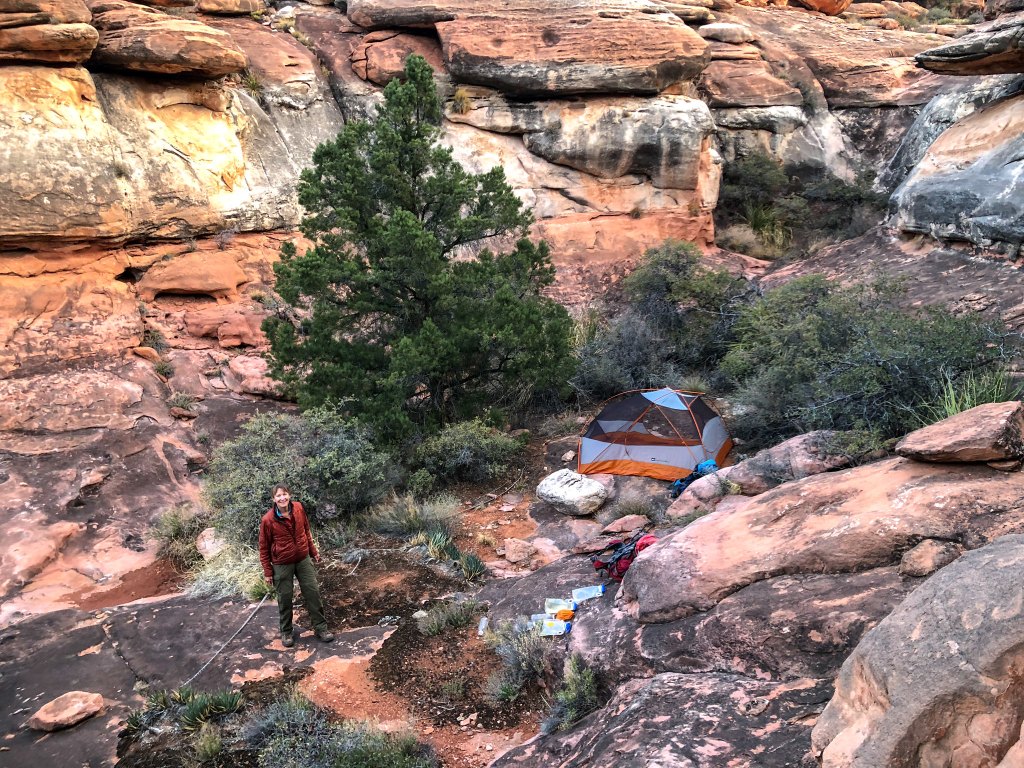
The next morning, we packed up and headed out. This, our last day, would be a long one and potentially very challenging depending on what we encountered on the way up the north arm of Tuckup Canyon. We first headed down the narrow side canyon we had camped in but discovered we were still high above the Tuckup Canyon floor and unable to reach it safely. We then traversed for a while on some Supai ledges looking for a safe way down. But the further we went the more the canyon floor rose to meet us, so it became a simple matter to climb the rest of the way down to it.
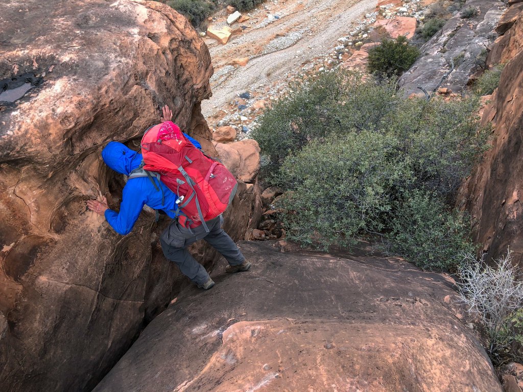
Once on the smooth gravel bottom of Tuckup Canyon we made good progress.
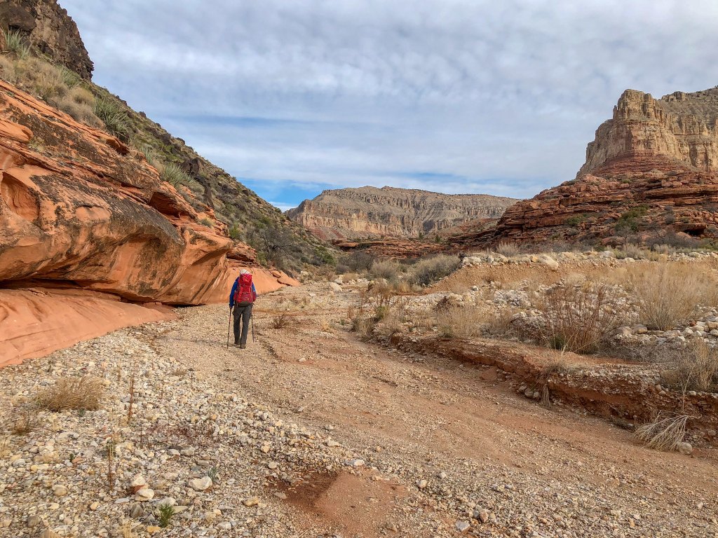
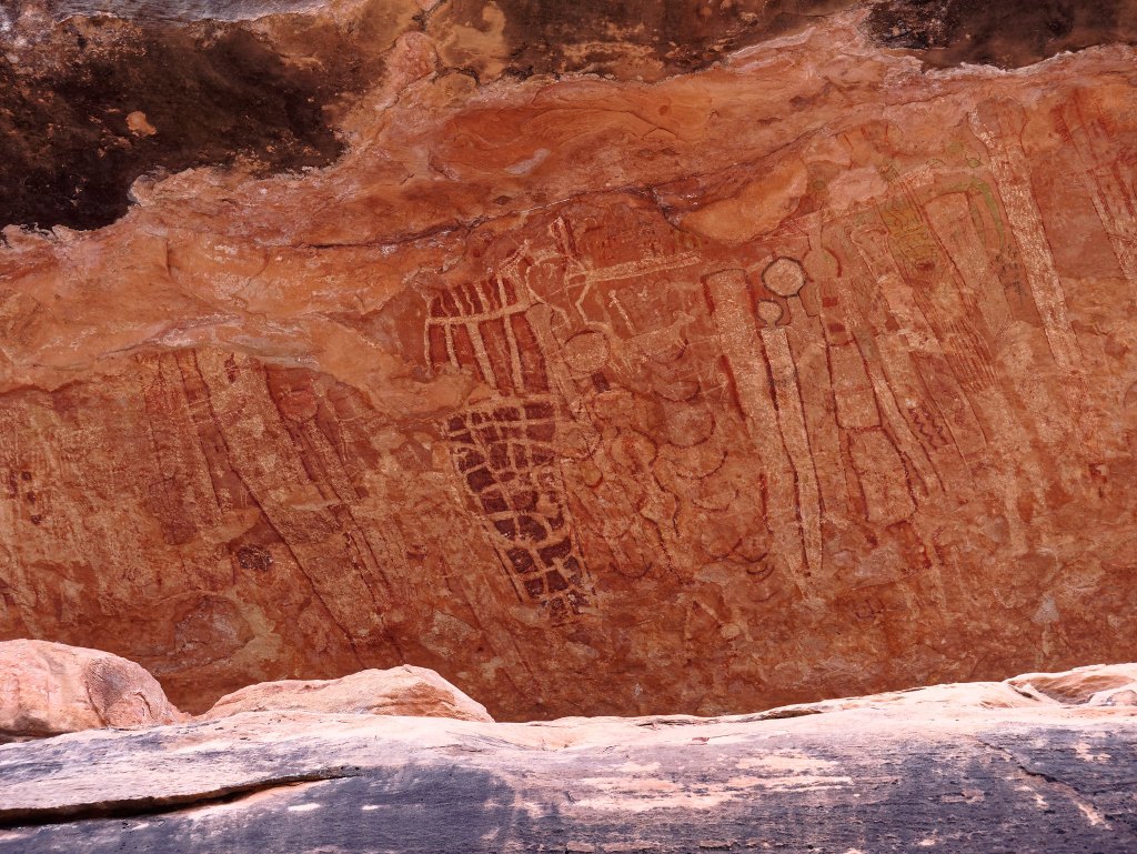
We knew we were close to Shaman’s Gallery, the location of an extensive collection of some excellent pictographs. We had been there before, but we did not know if we were above or below it. As much as we would have liked to see it again, we simply did not have time to hike down canyon to look for it. However, after walking up canyon just a short distance we looked up to our right …
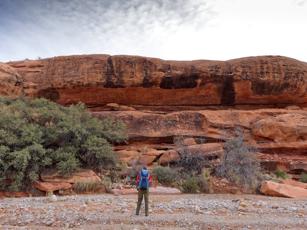
… and there it was. John took just a few photographs as we could not afford the time for more. However, when we were there before he took more photos.
We continued up Tuckup Canyon but veered to the right to enter the north arm.
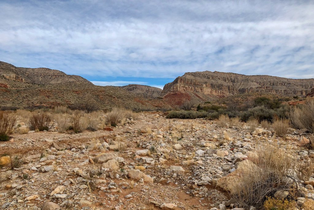
As we hiked farther into the canyon it became narrower and we encountered more boulders which slowed our progress.
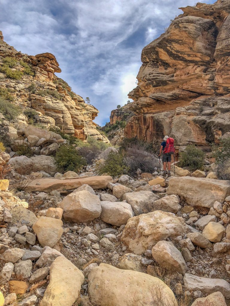
After a while we reached the part John had some concerns about, a very narrow portion he had seen on the map. We had only sketchy information about the obstacles we might encounter. If we couldn’t get up the north arm, then our best option would be to go back and hike up the east arm of Tuckup Canyon. It is shorter and steeper than the north arm, but we had read it was not technical.
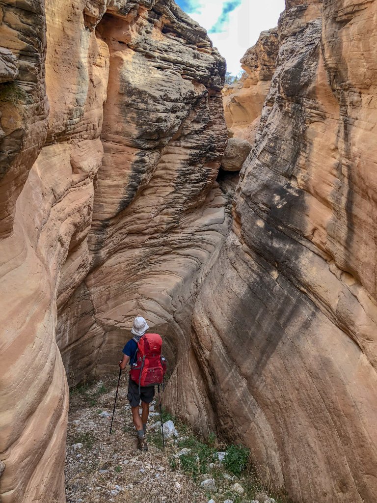
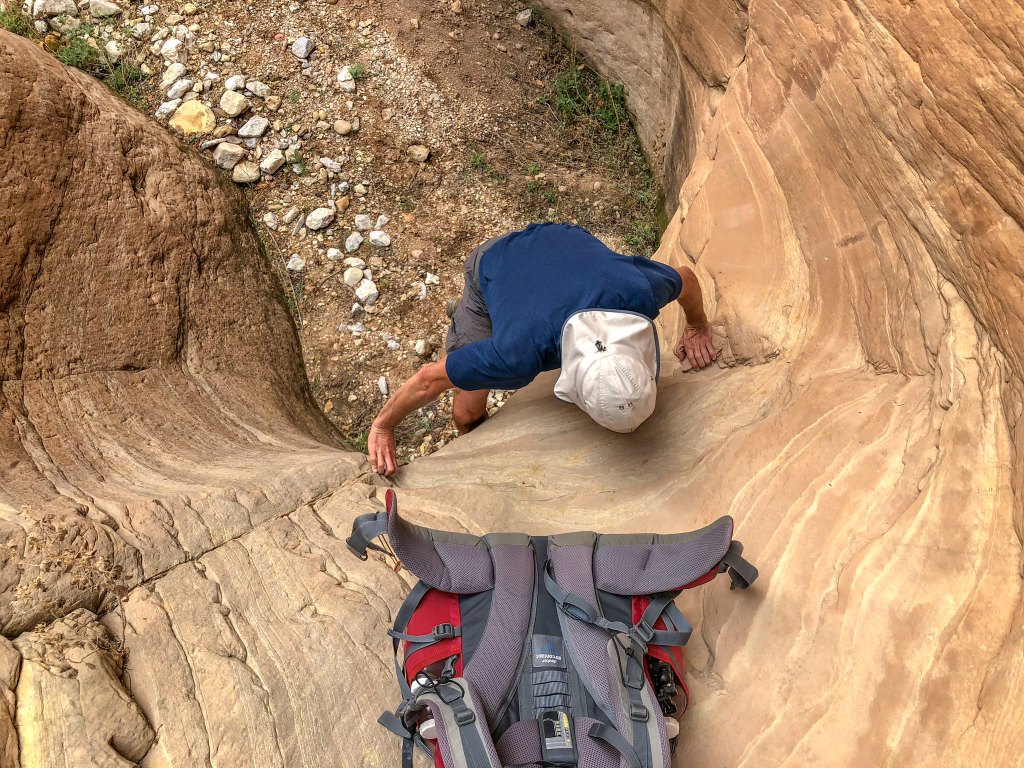
There are a few obstacles in the north arm …
… but most were easy even for a couple in their mid-60s.
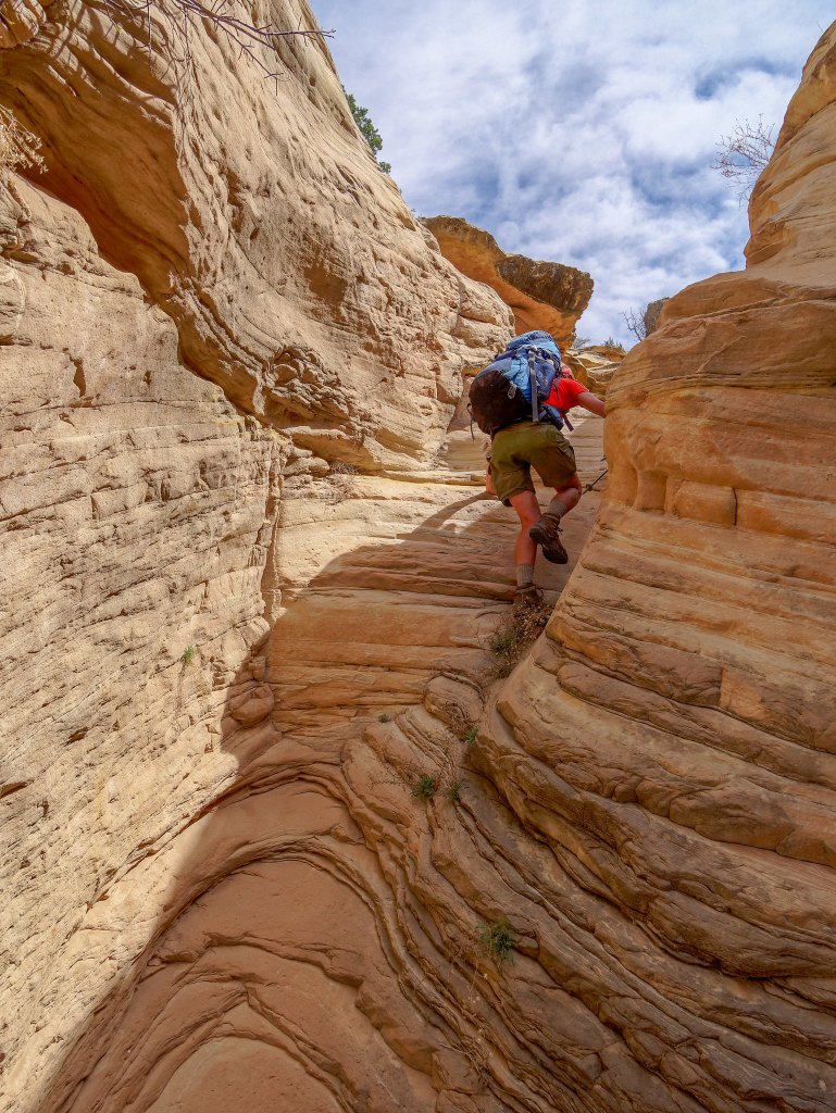
Every obstacle we passed without trouble brought us closer to the rim.
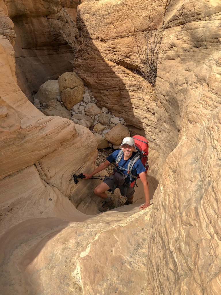
Unfortunately, we don’t have any photos of the most challenging obstacle, a good-sized chockstone. The anxiety I experienced when I first saw it caused me to completely forget about photography. However, it was easier than I thought it would be. I needed John to give me a boost up and, once I was on top, he needed me to give him a hand. A lone backpacker (especially an older one) might have some trouble. We don’t recall if there were any rocks nearby to step on but standing on one’s pack might be enough (provided you also have a rope to haul your pack up).
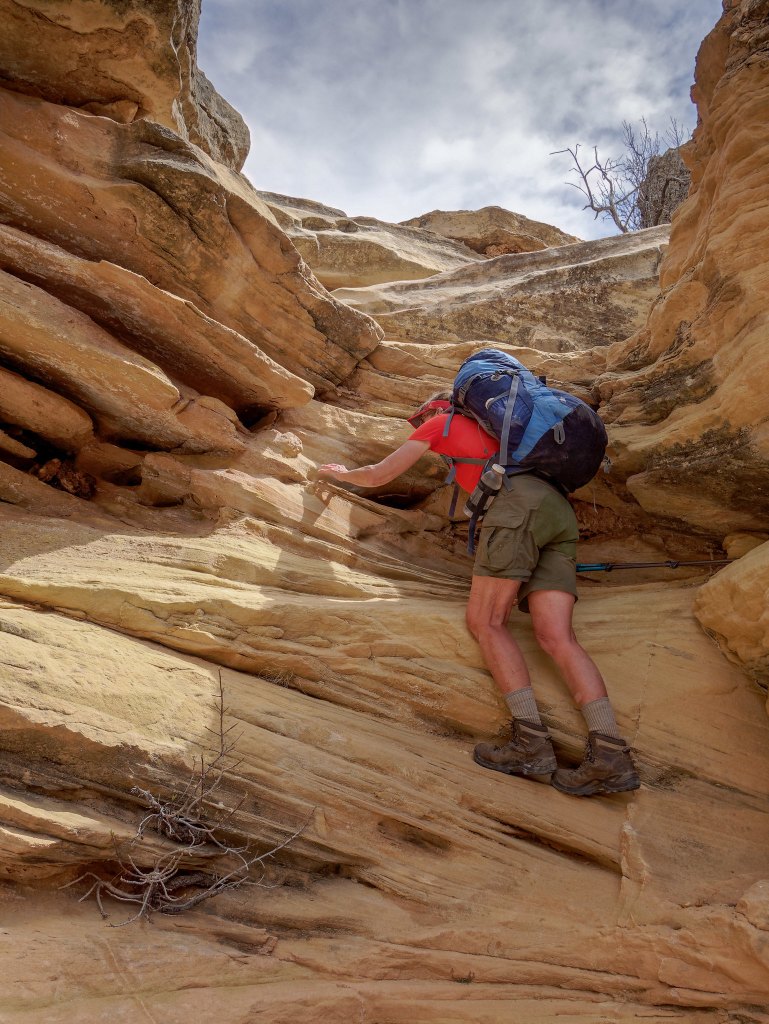
We were relieved to make it all the way through this narrow section with so little trouble.
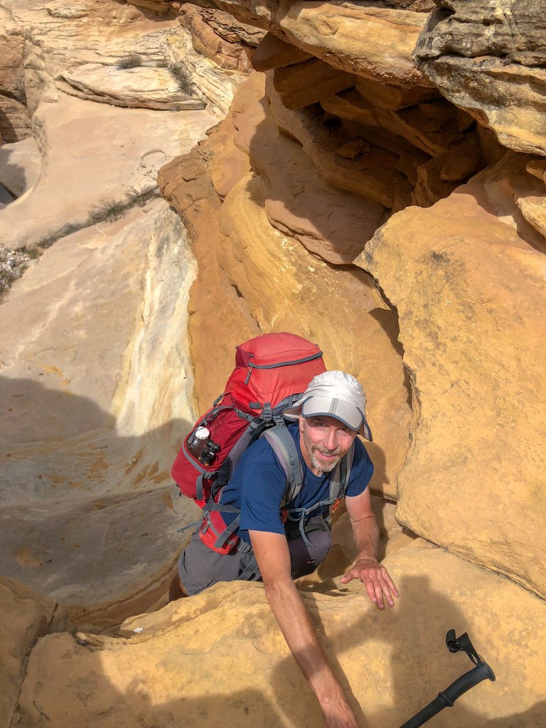
The canyon opened up and we continued making our way to the rim.
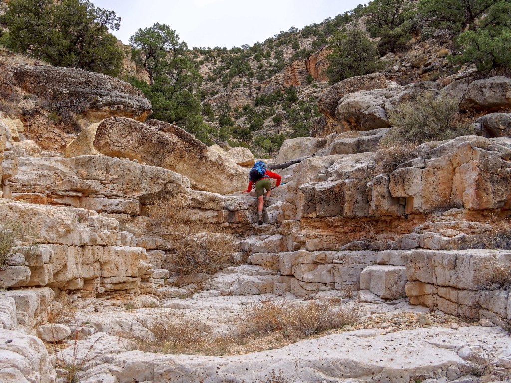
The canyon became quite open, and we had a decision to make. Do we continue the gradual ascent in the general direction we were going and exit up toward the left but without knowing what is around the bend?
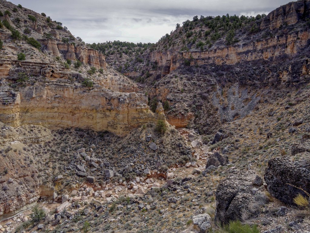
Or do we break right and leave the canyon sooner and head up the steep slope?
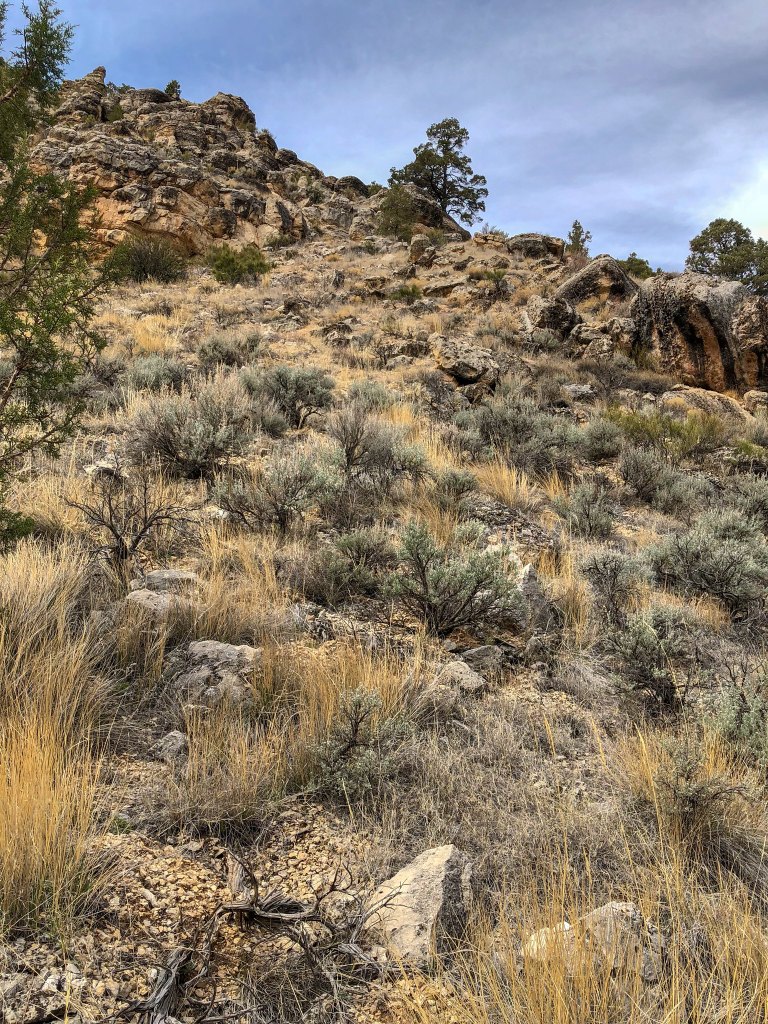
We decided to head up the steep slope as it would bring us out on the rim closer to our car.
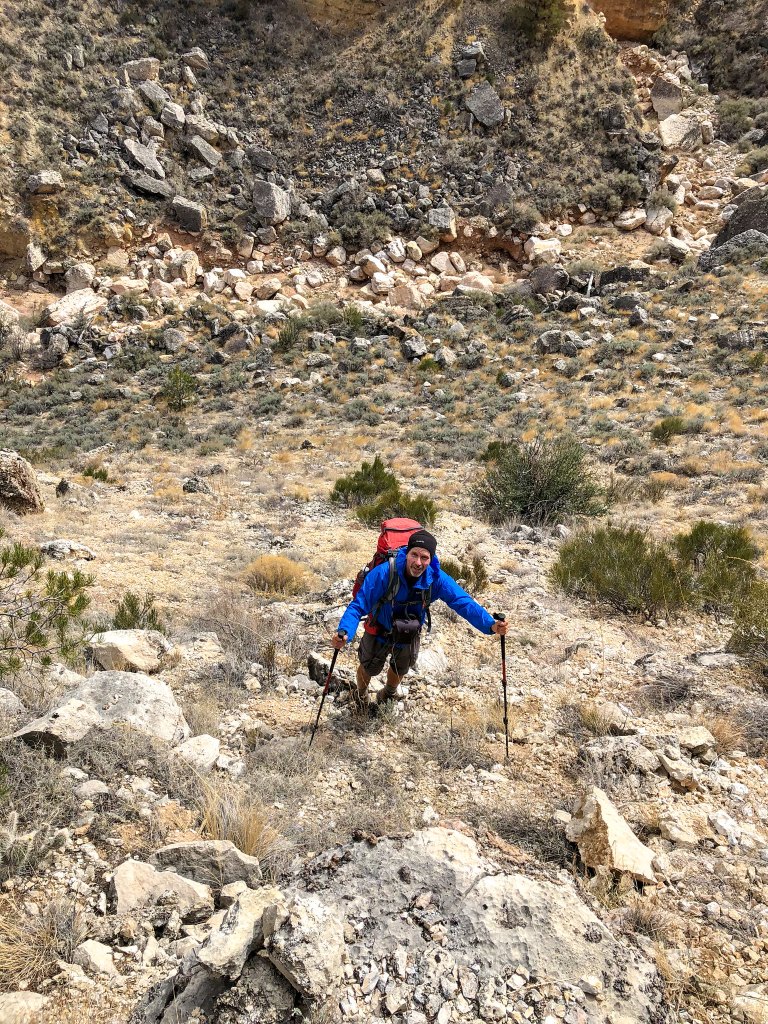
We even encountered a bit of what looked like a sketchy track.
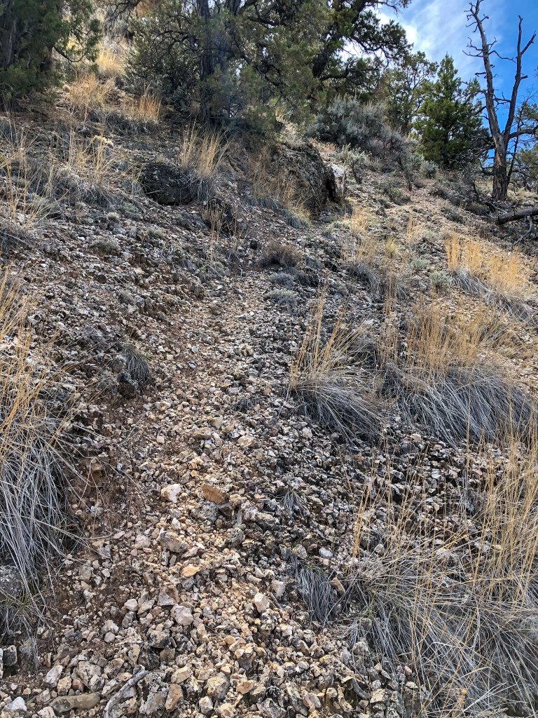
Once on the rim we both heaved a sigh of relief. We would hike 17 miles that day and we were just over halfway back at this point, but the hardest part was behind us.
Now all we needed to do was walk. While the USGS Topo map showed several roads, they no longer existed and even had mature juniper trees growing in the middle of where they were supposed to be. However, the Gaia GPS proved to be quite accurate and by following it …
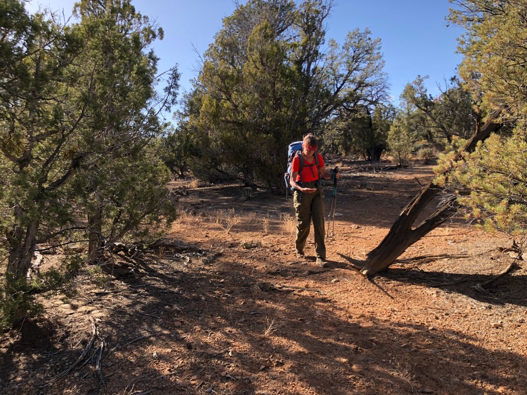
… we found our way back to SB Point Road. Once here we could walk quickly back to the trailhead, still some miles away.
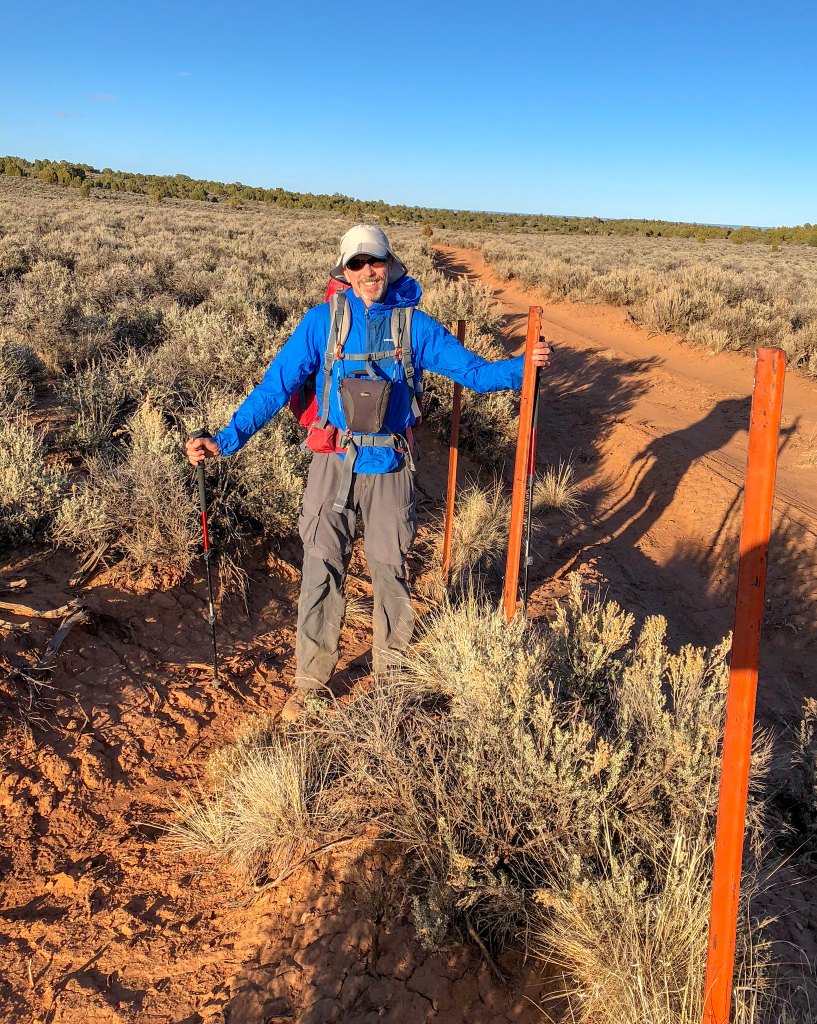
It was well after dark by the time we reached our car, and we then had to do the long slow drive back to civilization. Fortunately, the recent rain had not caused any issues with the road. We returned to our motorhome exhausted but euphoric after successfully completing such a challenging and remarkable trip. Even after hiking every officially named trail and route in Grand Canyon National Park, we agreed that this was our all-time favorite Grand Canyon backpack trip.
All photos from trip are on Flickr.


Leave a Reply