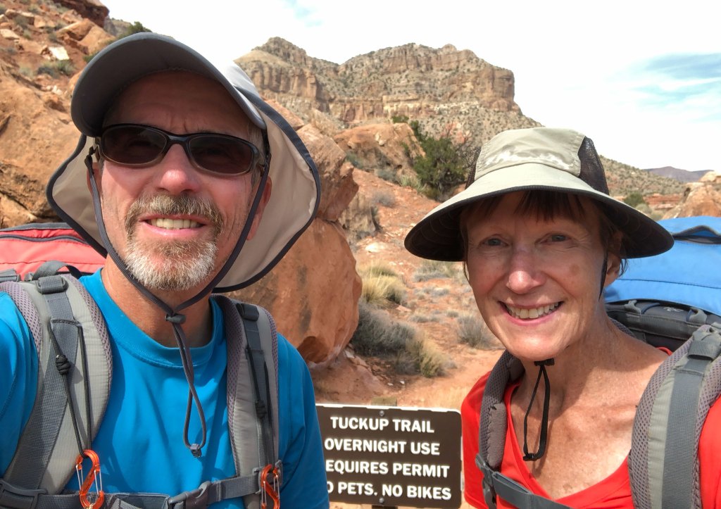
In March 2018, we spent six days and five nights backpacking the Tuckup Trail in the remote northwestern portion of Grand Canyon National Park. We were 65 and 63 at the time. We had recently done the Tuckup Route between 150-Mile Canyon and the north arm of Tuckup Canyon.
The Grand Canyon NPS trail description states that “The Tuckup area is a remote, vast expanse of labyrinthine gorges, sandstone slickrock, and fascinating history. However, the unique combination of heat, unreliable water sources, and inaccessibility, makes this one of the most challenging and least visited of Grand Canyon’s named trails… Mileages are very difficult/impossible to gauge, because the terrain is so convoluted, and routes vary. Total distance east to west is around 60 miles”.
We originally assumed we would have to do the Tuckup Trail and Route in one arduous trip—150-Mile Canyon all the way to Toroweap. However, we were able to find a way to do the Tuckup Route so now all we had to do was the Tuckup Trail between Schmutz Spring and Toroweap (On a previous trip, we had hiked from Schmutz Spring to Tuckup Canyon, so completing this section would finish the entire route).
We had recently met an avid Grand Canyon explorer who lived in Kanab, Utah. Ironically, he and his wife had previously lived just a few miles from us in Kent, Washington. He very generously offered to shuttle us to the trailhead after we first dropped our Jeep off at Toroweap. This was a huge help to us as our only other plan was to walk the road or go cross-country back to our car as we had done on our previous trip on the Tuckup Route. However, due to the geography of the area this would have been an ordeal.
We started this trip after having only two days off from our previous trip and we were still tired. However, we were concerned about water, and the last rain had been six days earlier, so we felt we needed to start sooner rather than later. When we got to Toroweap the volunteer park ranger mentioned there was a group of five backpackers who were also starting at Schmutz Spring Trailhead that day. While we were there, we spent some time checking out the views from Toroweap …
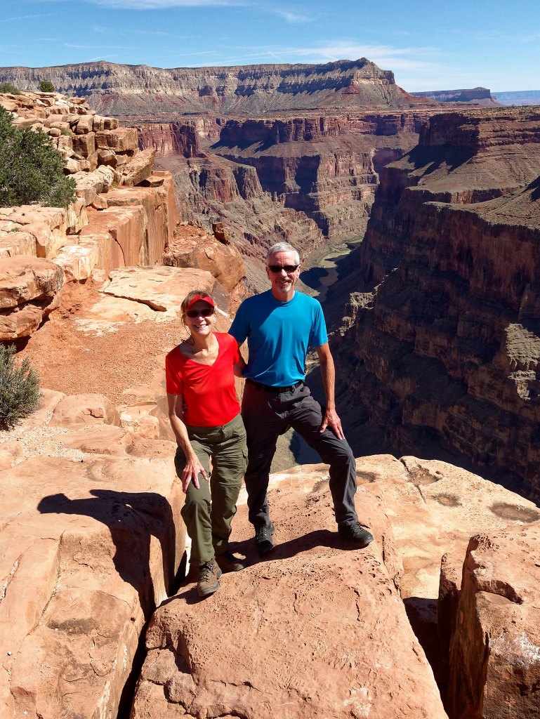
… before making the long, slow drive (which included some navigational issues) to the trailhead. As a result, we did not start walking until about 3:00 p.m.
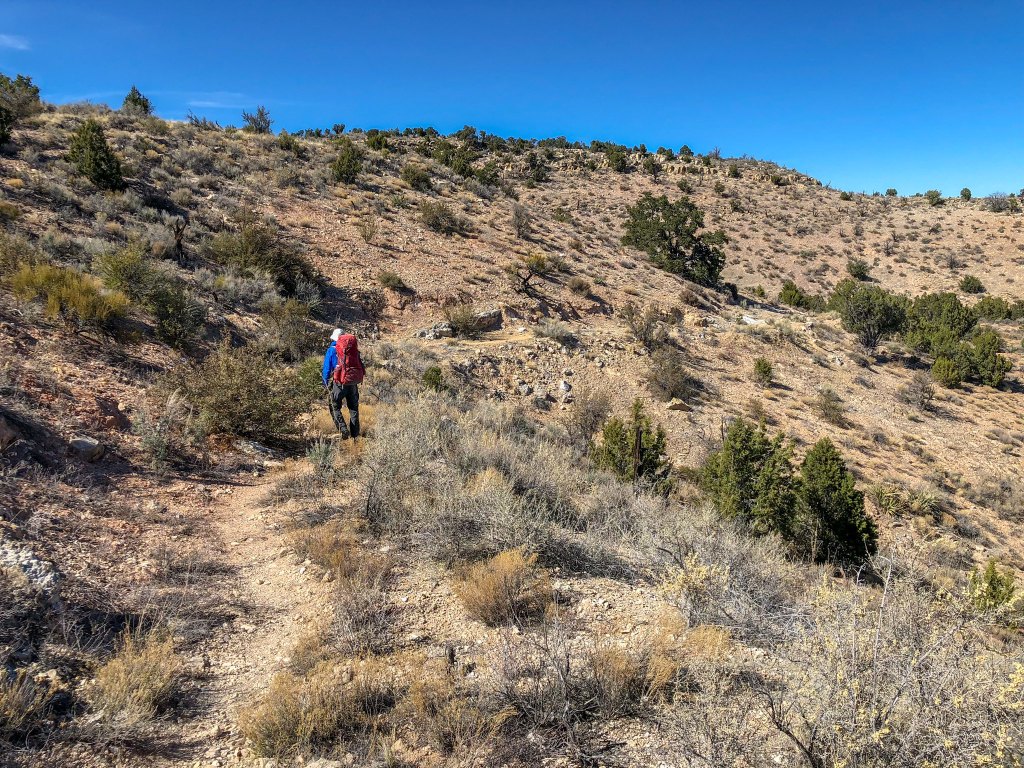
We originally had planned to get as far as Cottonwood Spring that first day. However, we were concerned about bumping into that group of five and not just that first night. We realized we might be playing “Tag” with them for the entire trip. It is a fact that sound carries great distances in the open space and dry air of the desert and it has been our experience that a group of that size takes up a lot of “psychic space” in the backcountry. While we have enjoyed brief encounters with others when backpacking, we simply prefer quiet and solitude.
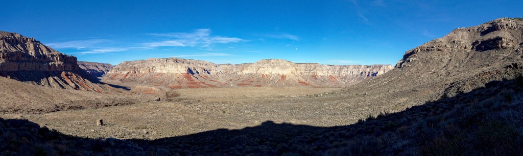
Our first task was to get water. On a past trip John had done some exploring and located Schmutz Spring …
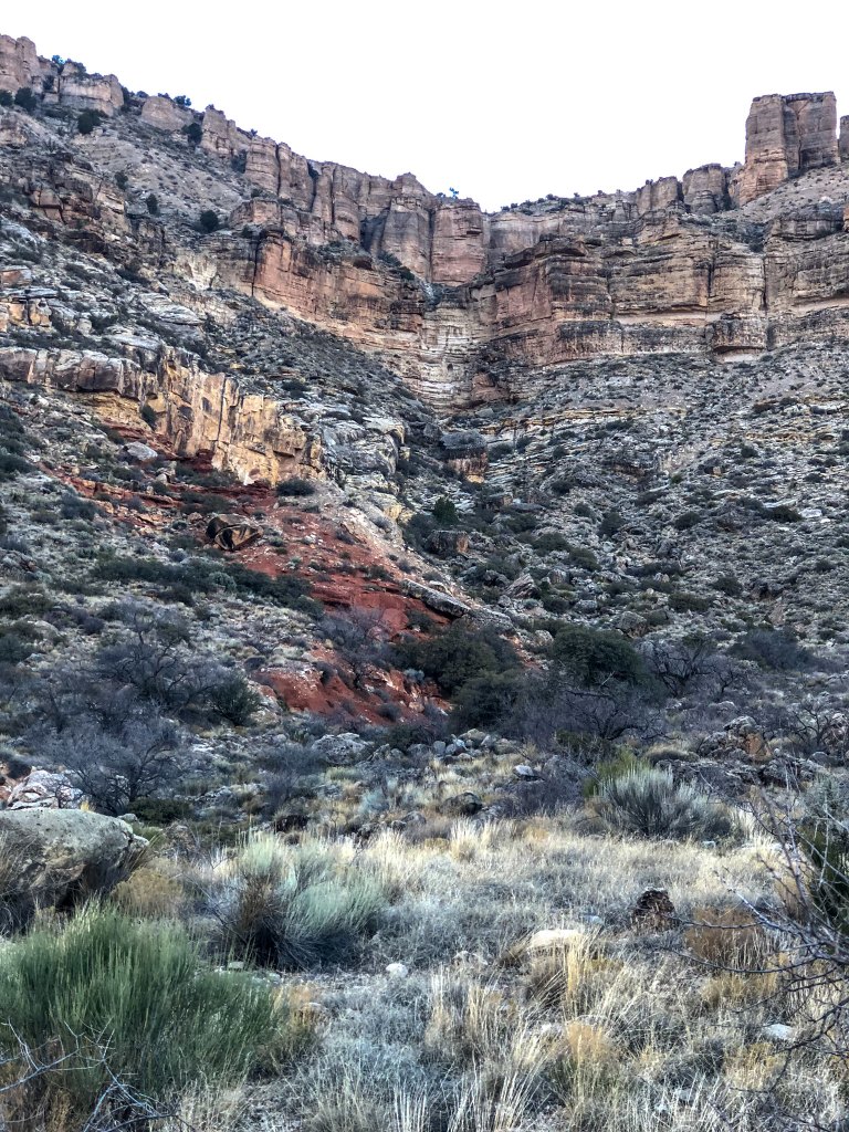
… so he knew about where to look and found it again with little trouble.
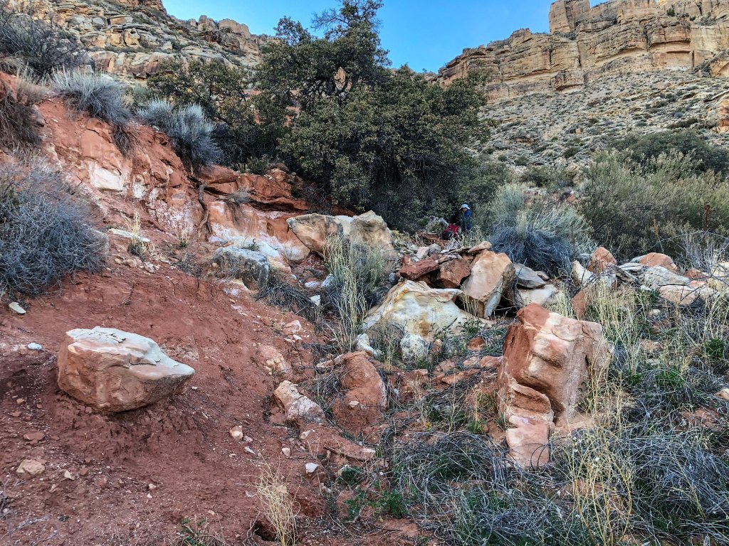
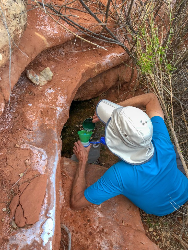
The winter had been quite dry which reduced the flow of many normally reliable springs. However, Schmutz is unusual as it has been enlarged with dynamite in the past creating a large underground pool. Still, John had to reach well into it to collect enough water.
We had spent the previous two days in a frenzy of cleaning up from our previous six-day trip on the eastern portion of Tuckup and preparing for this trip so we had not really taken any time to just rest. Camping here was the best thing! We turned in early and slept well.
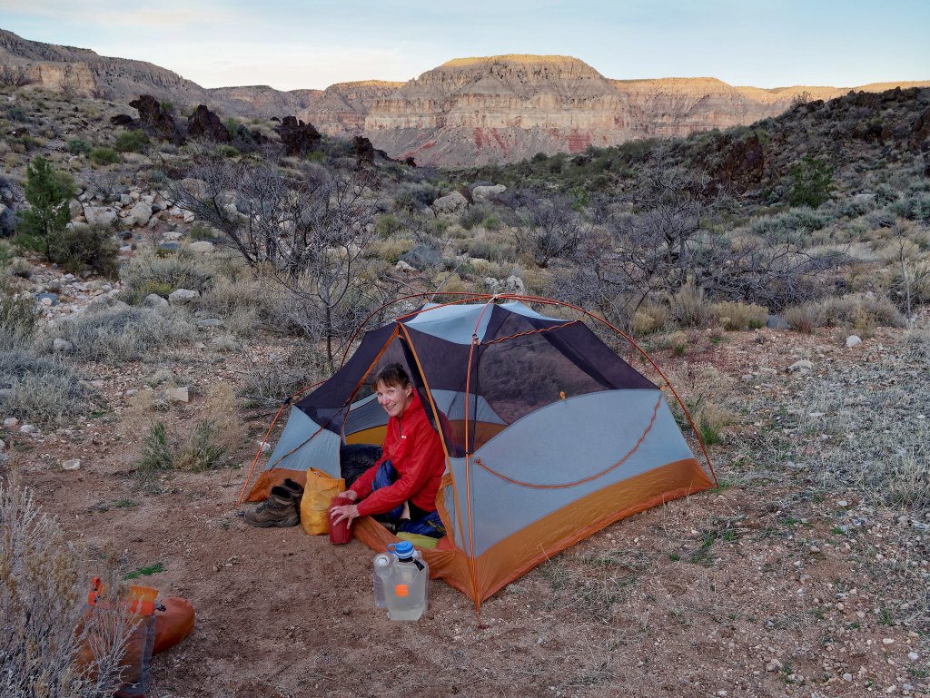
It was a beautiful evening and night as the moon was almost full.
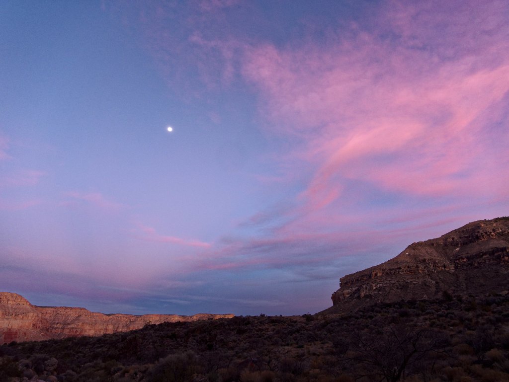
We allowed ourselves the luxury of sleeping late (late by Grand Canyon standards) and had a leisurely morning in camp. While we were still in camp a group of about eight day hikers came down the trail on their way to Shaman’s Gallery. John talked to them briefly, but I was anxious for them to continue. It is not that I am completely antisocial but one of the things I loved about where we were was how alone we were in such a wide-open space.
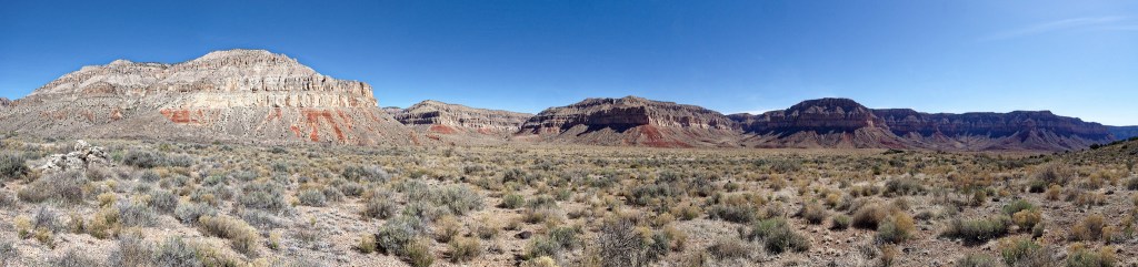
I realized that by looking directly across from us we could see up the north arm of Tuckup Canyon where we had exited the canyon to the rim just a few days earlier.
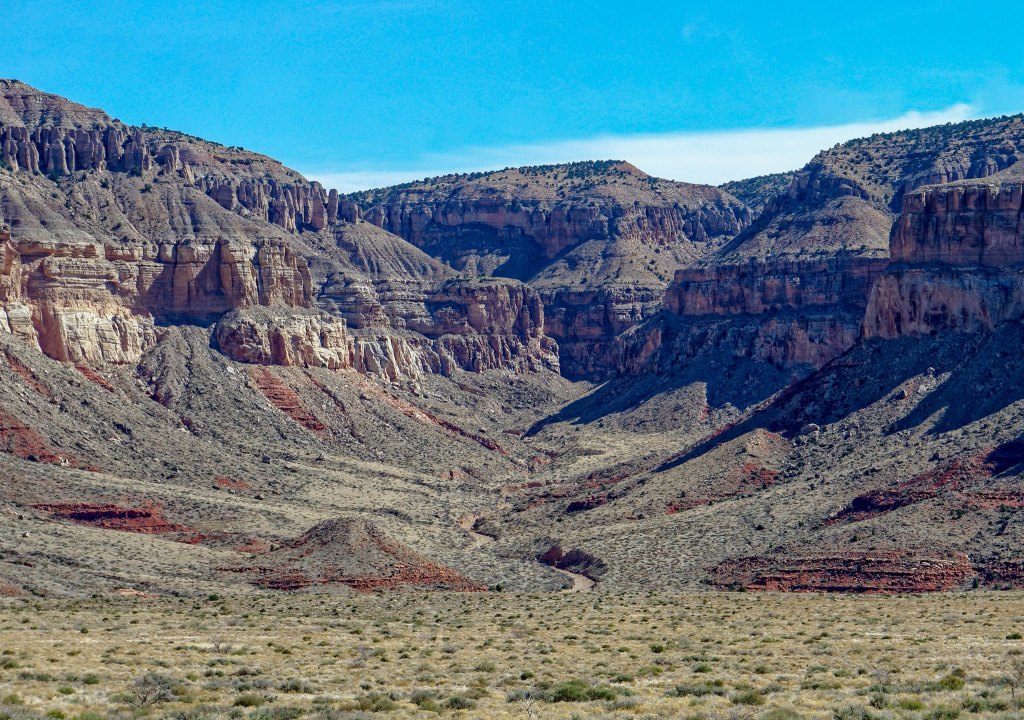
We could also see SB Point in the distance where we had camped in what became one of my all-time favorite campsites.
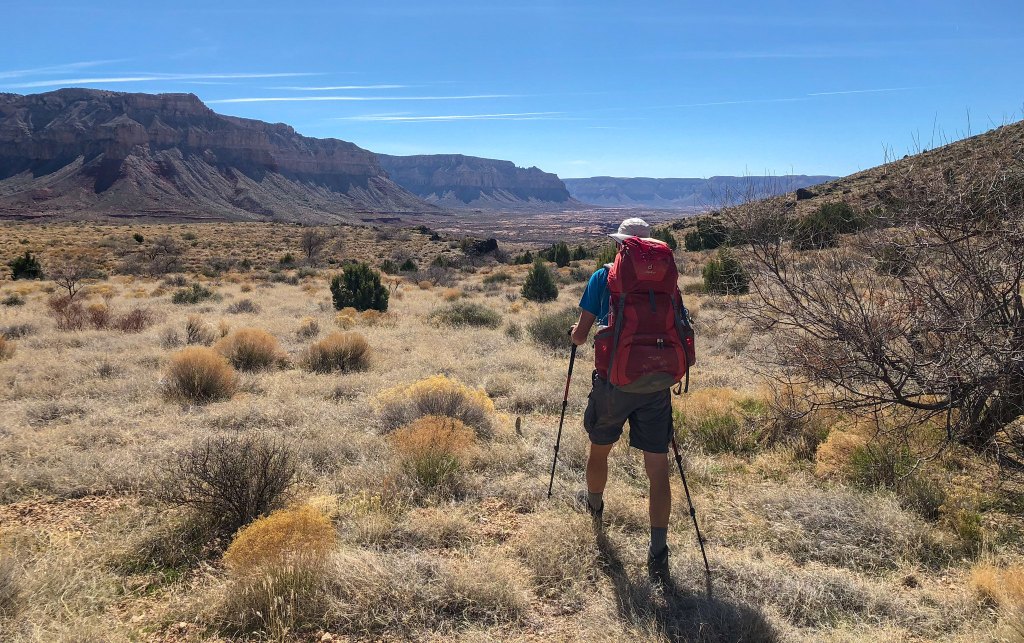
The views were so expansive …

… and included a prominent feature we had been well-acquainted with on our previous trip: The Dome.
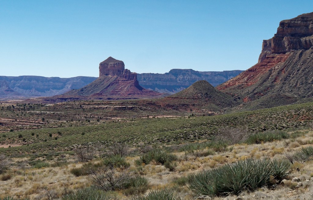
We love the expansiveness of the broad shelves (the Esplanade and the Tonto Platform) within the canyon that are situated below the rim and above the river. Walking across the Esplanade on the smooth surface of the Supai layer of rock was a treat.
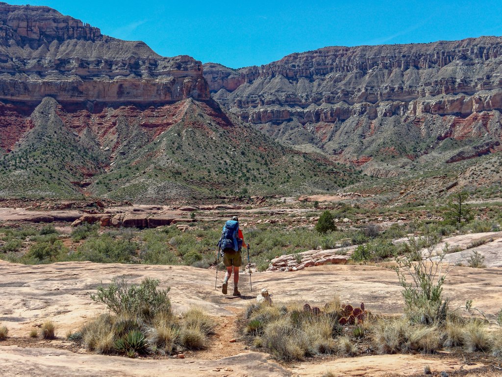
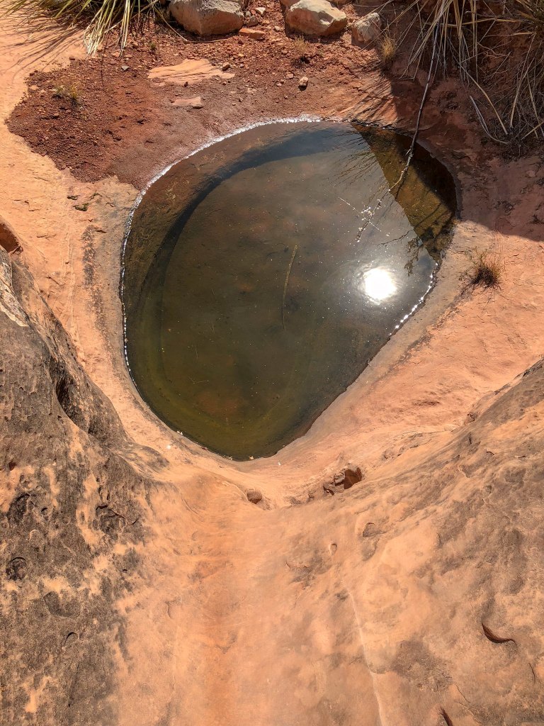
Our destination was Cottonwood Spring, which was only about four miles from Schmutz Spring. Cottonwood Spring has a reputation for being mineralized, as do many of the springs in Grand Canyon. However, we had consumed water from Cottonwood Creek (where Cottonwood Canyon ends at Tuckup Canyon) on a past trip and had no issues with it. However, it had been a very dry winter, and this could cause the minerals in the springs to be more concentrated. Just after lunch, we encountered this pothole and found it reassuring as we hoped it meant we would encounter some later in our trip. In hindsight, it would have been wise to collect some water here.
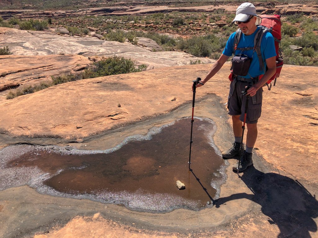
As we hiked up Cottonwood Canyon we got glimpses of the canyon’s namesake. The leaves on the cottonwood trees were a brilliant bright green that early in spring.
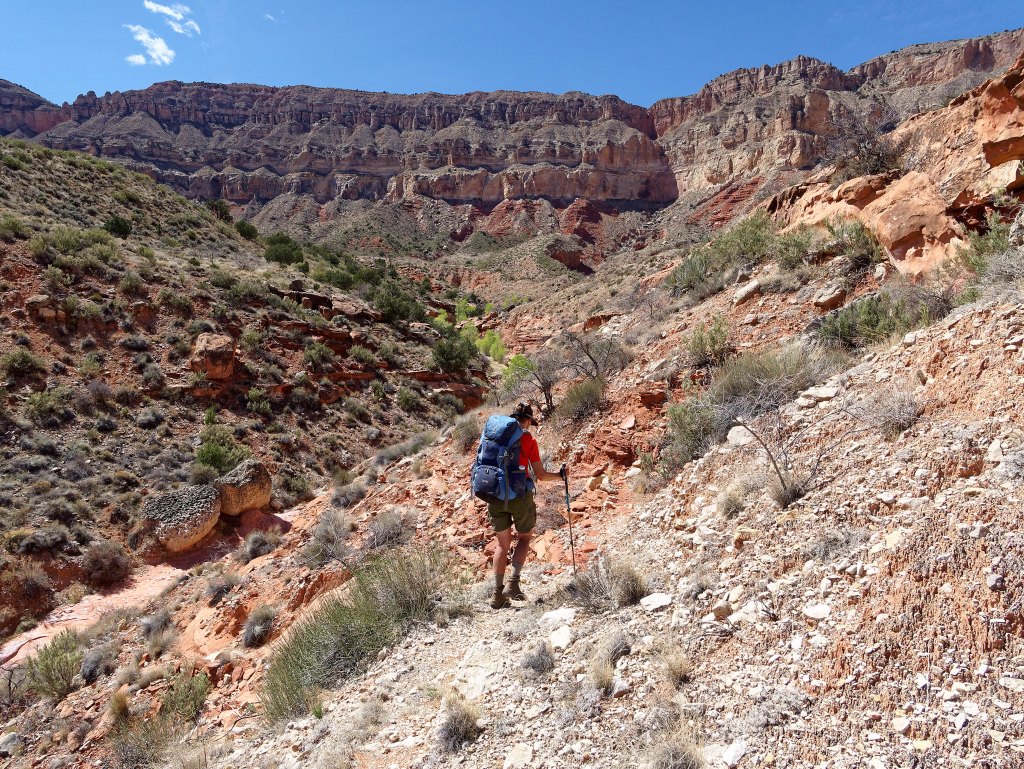
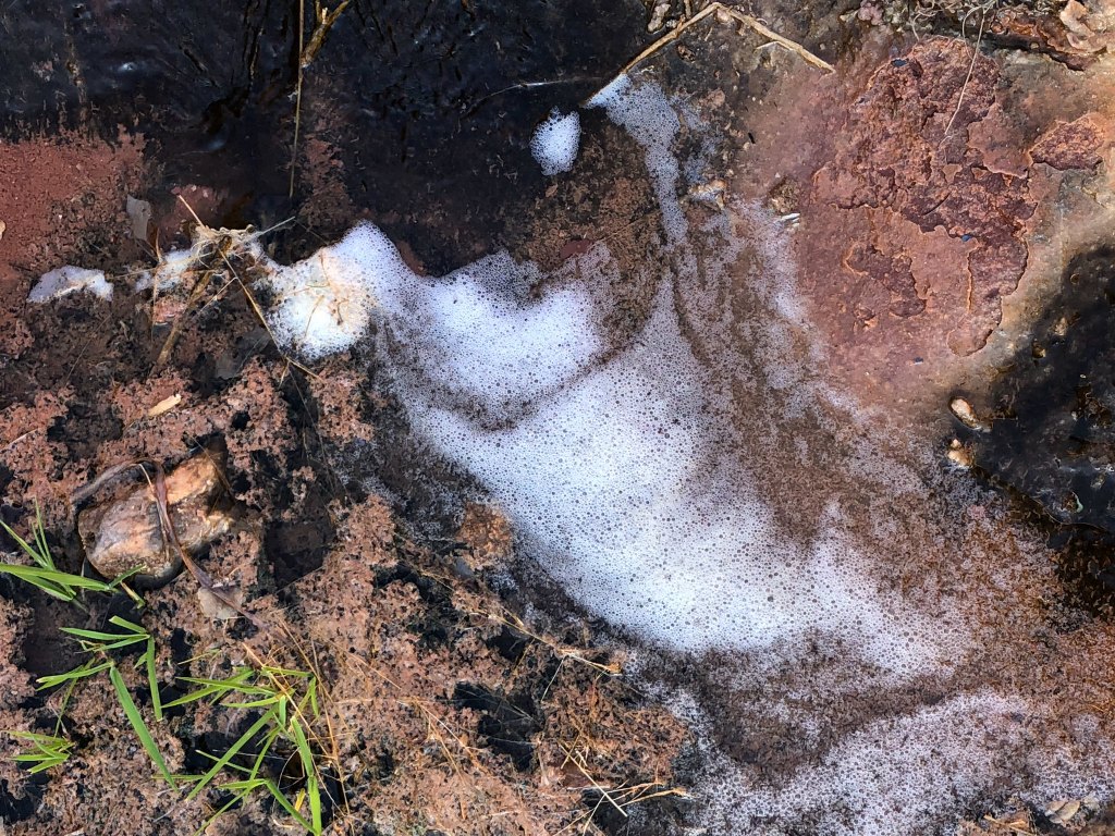
As we hiked farther up the canyon, we encountered water. However, it looked “scuzzy” and the white deposits on the surrounding rocks were indications of minerals. Higher up, the canyon divides into two drainages and Gaia GPS indicated Cottonwood Spring was up the right drainage. We hiked some distance up it but did not find a good flow. We backtracked and then went up the left drainage as Gaia indicated there was an unnamed spring there.
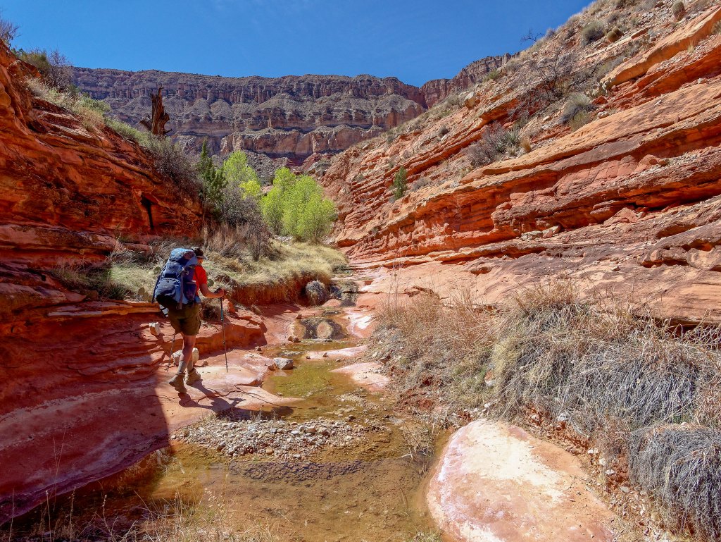
The water from this spring seemed a bit clearer although there was plenty of evidence it was just as mineralized as Cottonwood Spring.
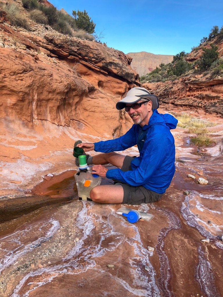
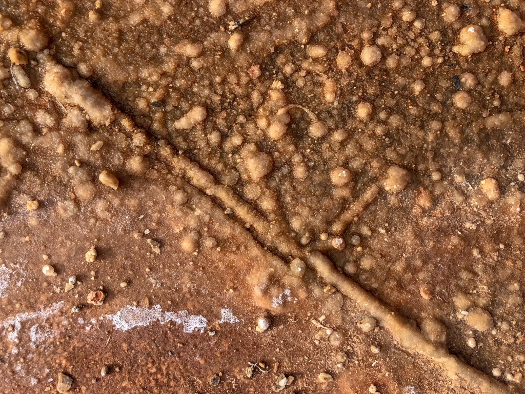
I noticed that there was a mineral buildup on small twigs and bits of gravel. This made me suspicious, but we needed water.
We set up camp on a ledge above the drainage.
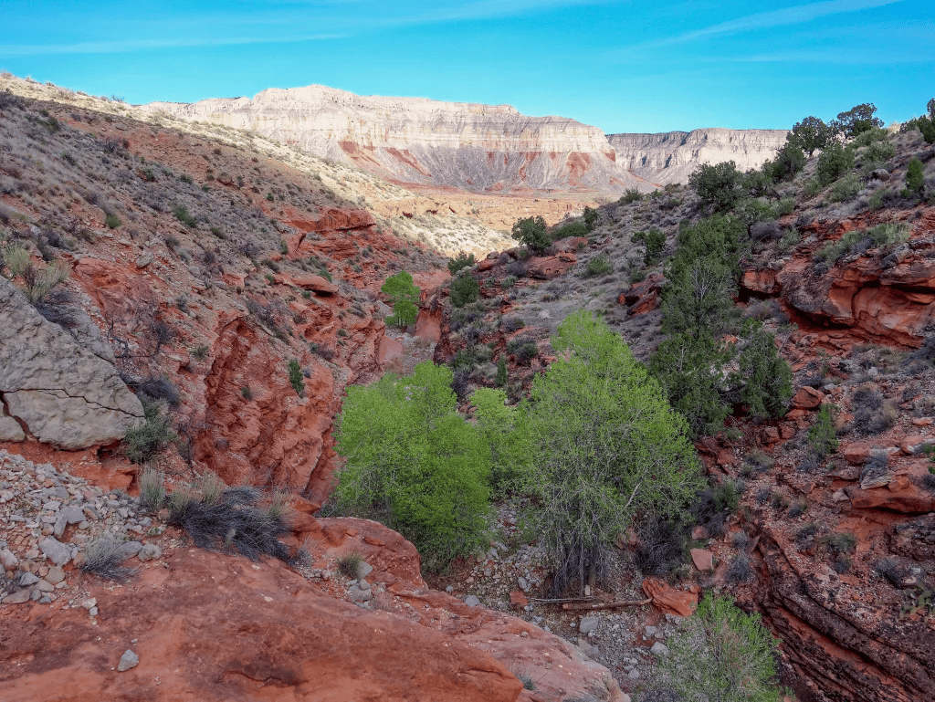
After treating some of the water (using a SteriPen), I tasted it and found it to have an almost metallic “tang” to it (I was later told it was probably due to gypsum – calcium sulfate. While it did not negatively affect the flavors of our dinners, it did mess with our breakfasts. It seemed to neutralize any sweetness in our morning coffee and tea. It also created a chemical reaction with my high-fat/low-carb coffee mix that made the stuff in my cup look (and taste) like a toxic waste dump. As it was a significant portion of my daily calories, I forced myself to consume it.
We learned a painful lesson about relying on boiling after we both contracted Giardia during a backpack trip along Washington’s Pacific coast. We cannot know exactly what went wrong. On this trip, we treated the water with the SteriPen before heating it for cooking. That extra step may have been unnecessary, but we preferred to be cautious.
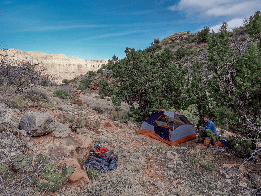
Despite our water challenges, we enjoyed being there. We had a good view across Tuckup Canyon to Hades Knoll.
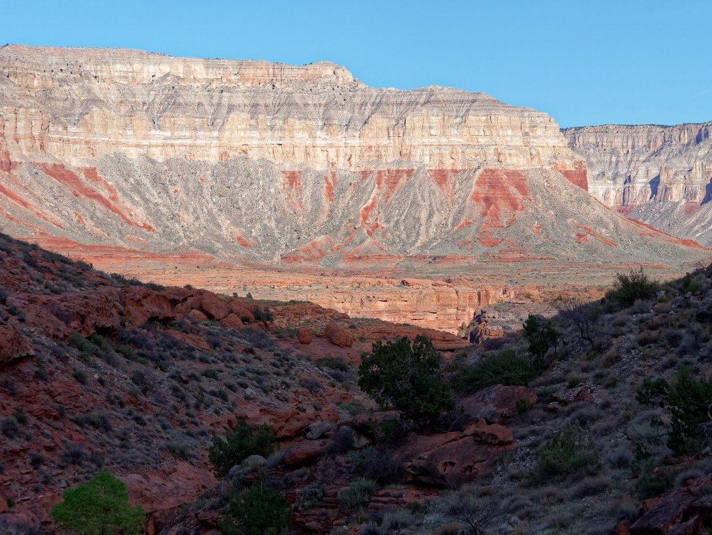
The next morning, we packed up …
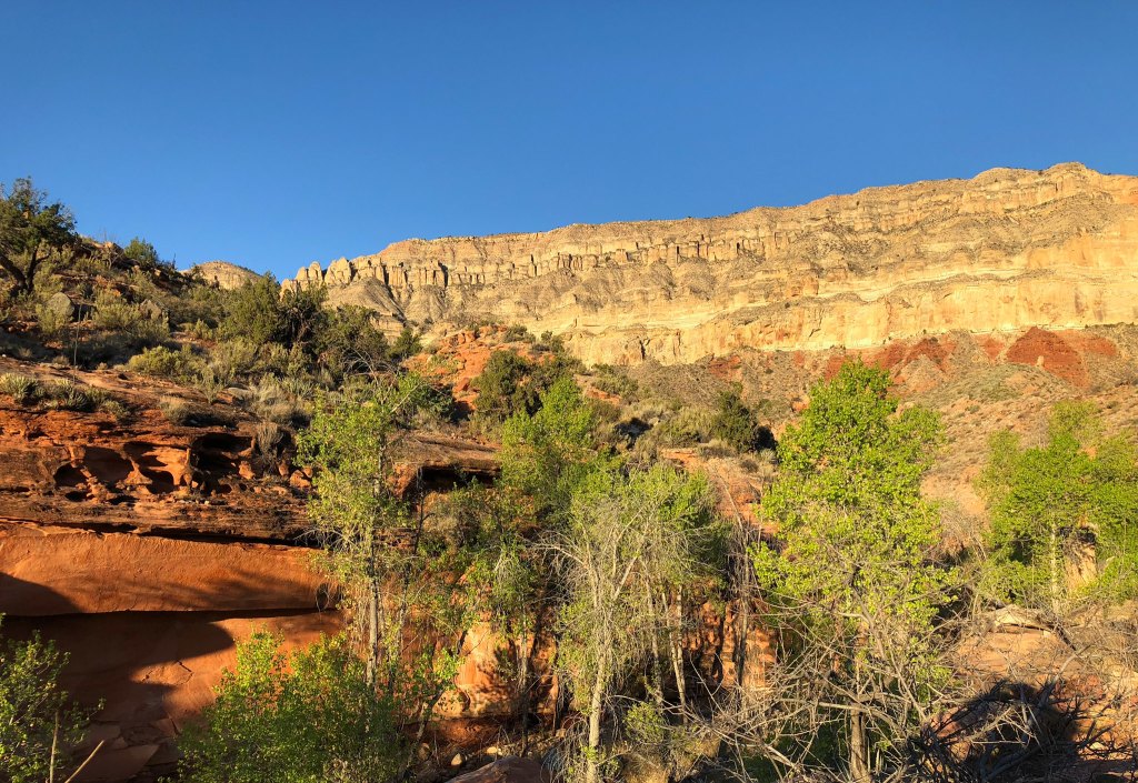
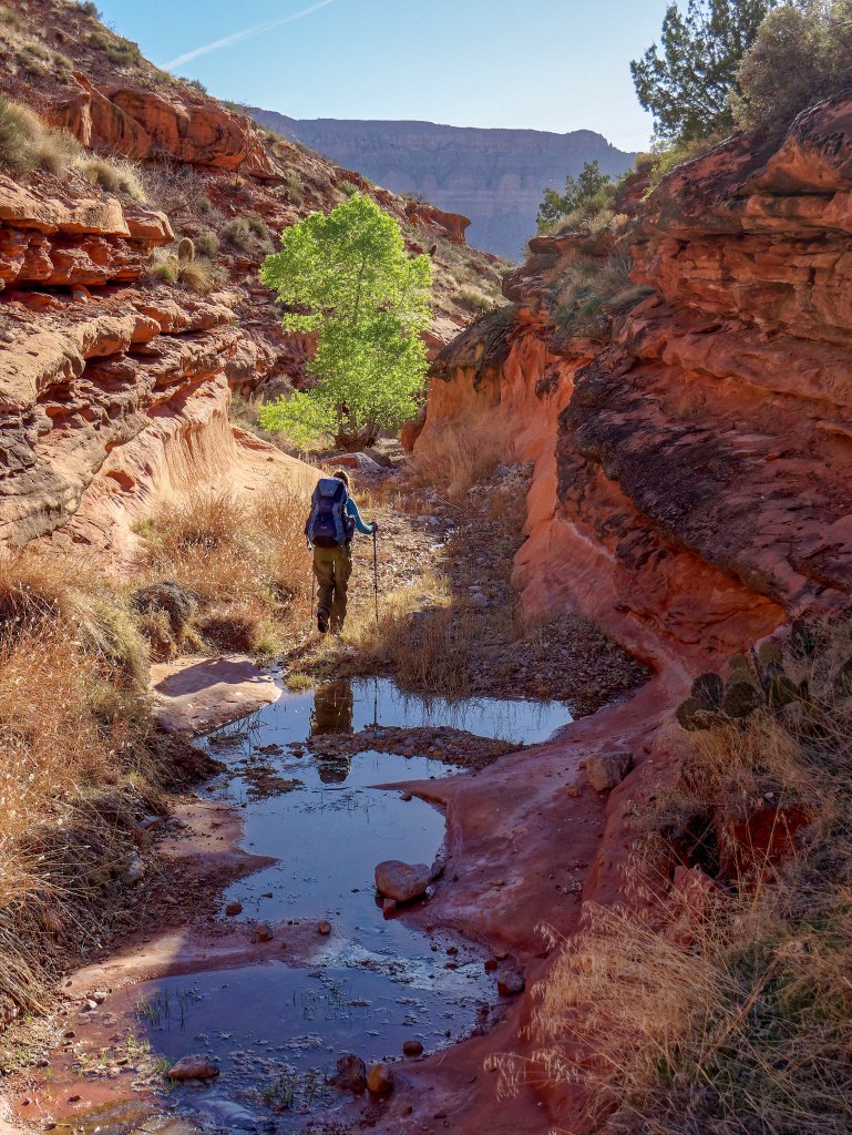
… and headed back down the drainage weighed down with enough water to see us through the day.
The sight of this foam on the water downstream was not reassuring.
While John suffered no ill effects from the water, it did seem to be messing with my gastrointestinal tract. The next reliable source of water was Willow Spring which is reported to be worse than Cottonwood Spring in this department. I wasn’t looking forward to it.
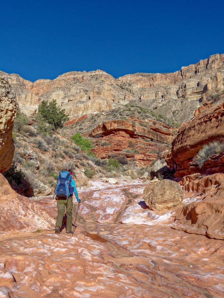
And then, once out of Cottonwood Canyon and back up on the Supai, a miracle happened! We encountered a pothole! Had we only known we could have hiked a bit further the day before and had good water that would not have turned my coffee into a “Superfund” site. We happily dumped out the Cottonwood water we had been carrying and loaded up with some of the most delicious water I have ever tasted.
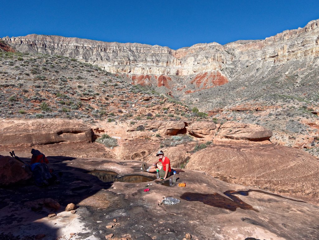
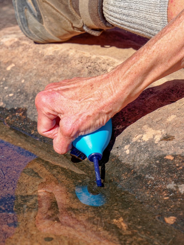
Fortunately, after reading a trip report by a woman who did this same route, we had added a bulb syringe to our water collection repertoire. It was essential on this trip.
After this, I think we both felt calmer knowing we were not dependent on Willow Spring and that there was still water in some potholes if we could only find them.
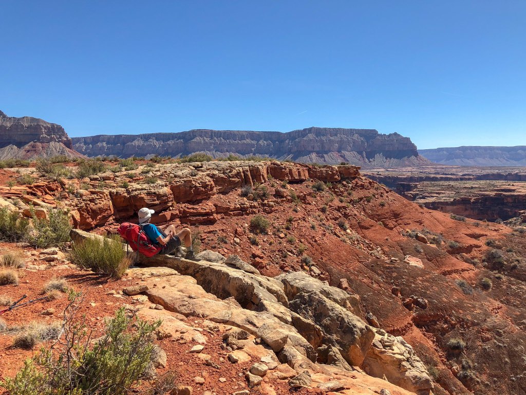
We continued but found the going to be slow.
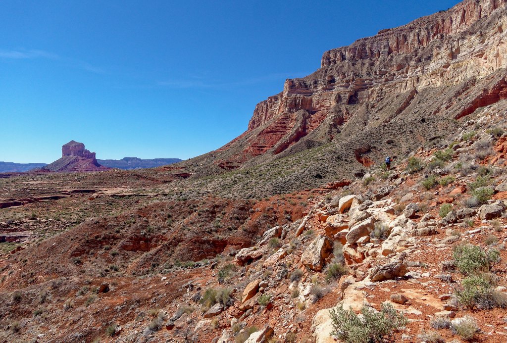
Looking back to the west, we could see across to the other side of Tuckup Canyon …

… including SB Point …
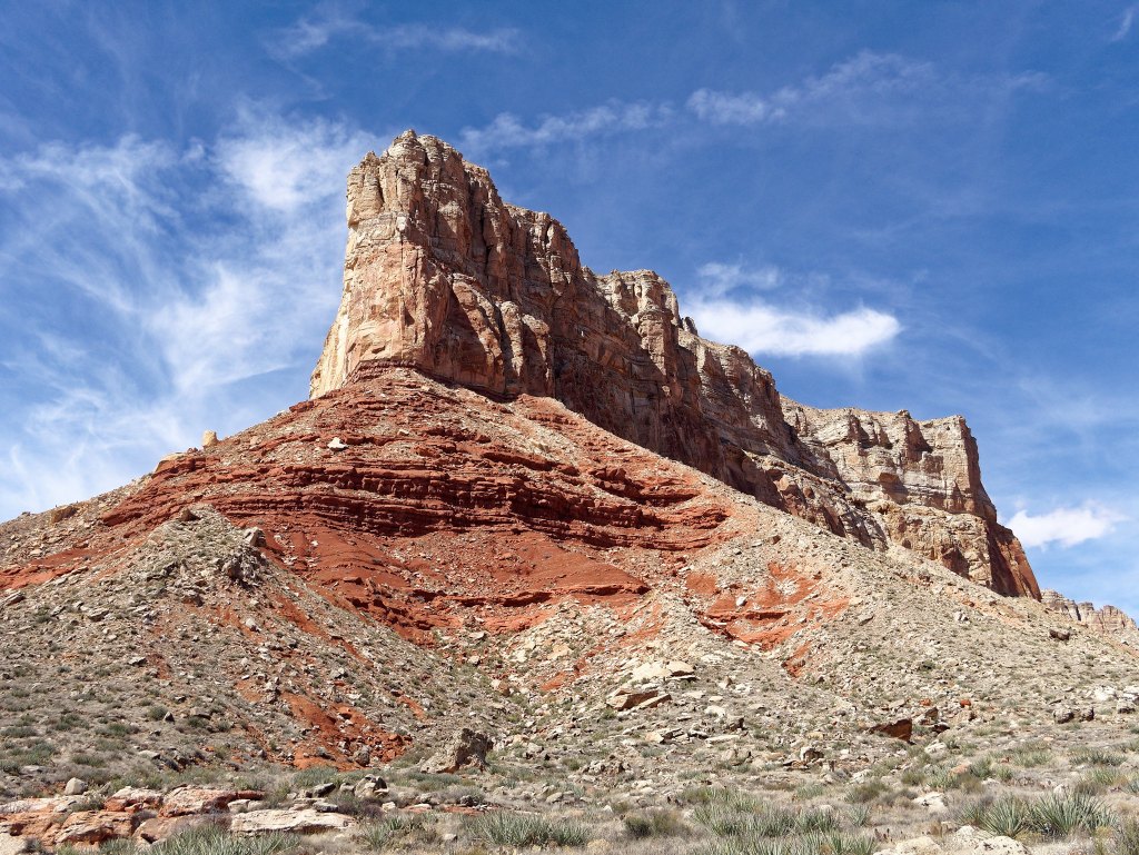
… and The Dome.
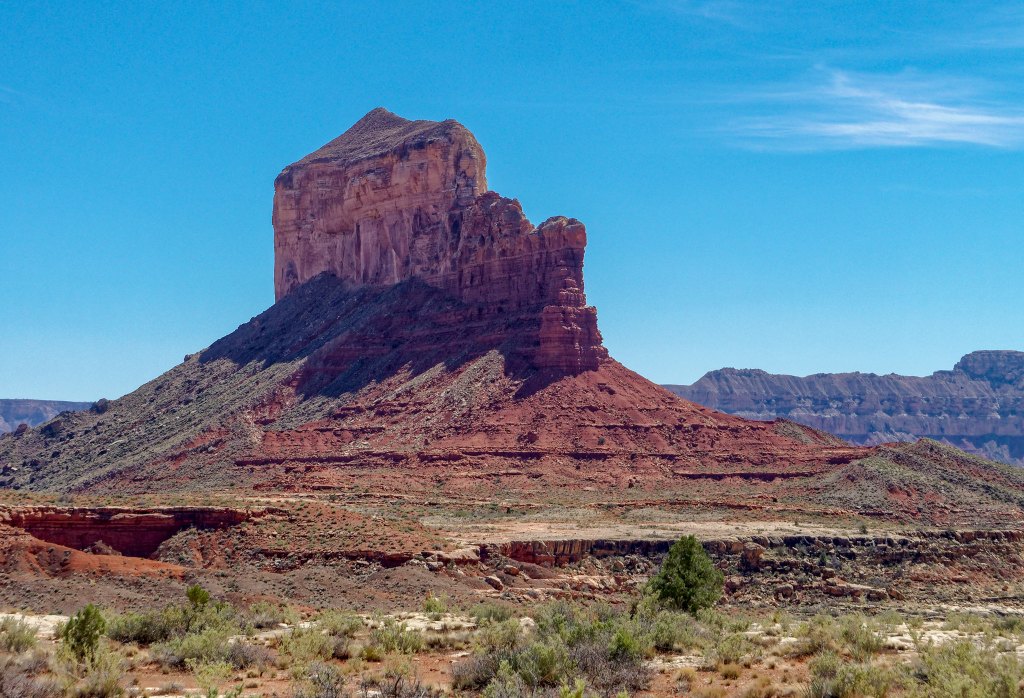
We continued, enjoying the views …
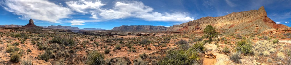
… and we eventually approached an arm of Fern Glen Canyon.
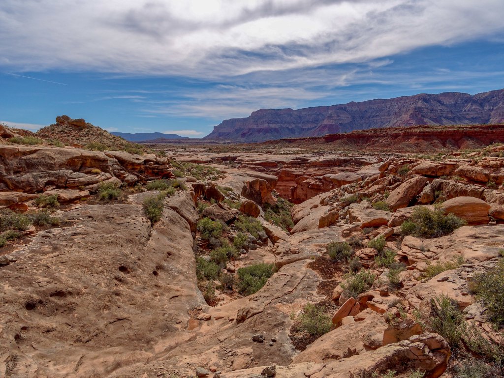
I did see this nice deep pothole, but we did not want to carry any more water than we already were and it was too early to stop so we passed it by.
As we made our way around Fern Glen Canyon …
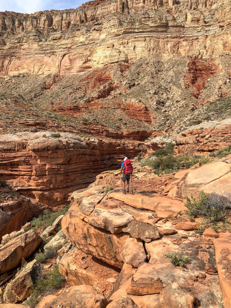
… we carefully picked our way through the jumble of rocks.
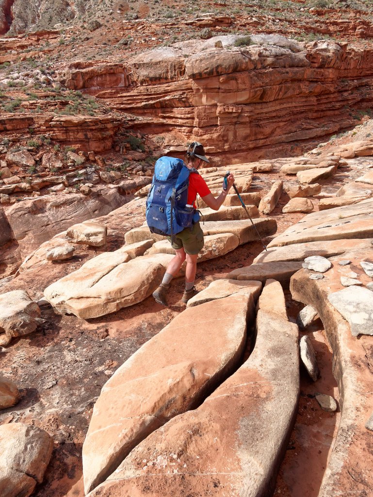
But it was slow going at times.
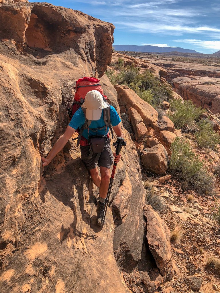
We tried to make up time when we could …
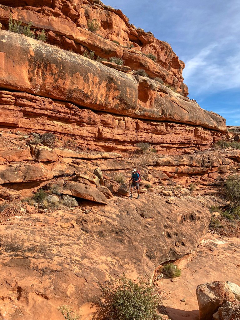
… before being forced to just slow down and go more carefully.
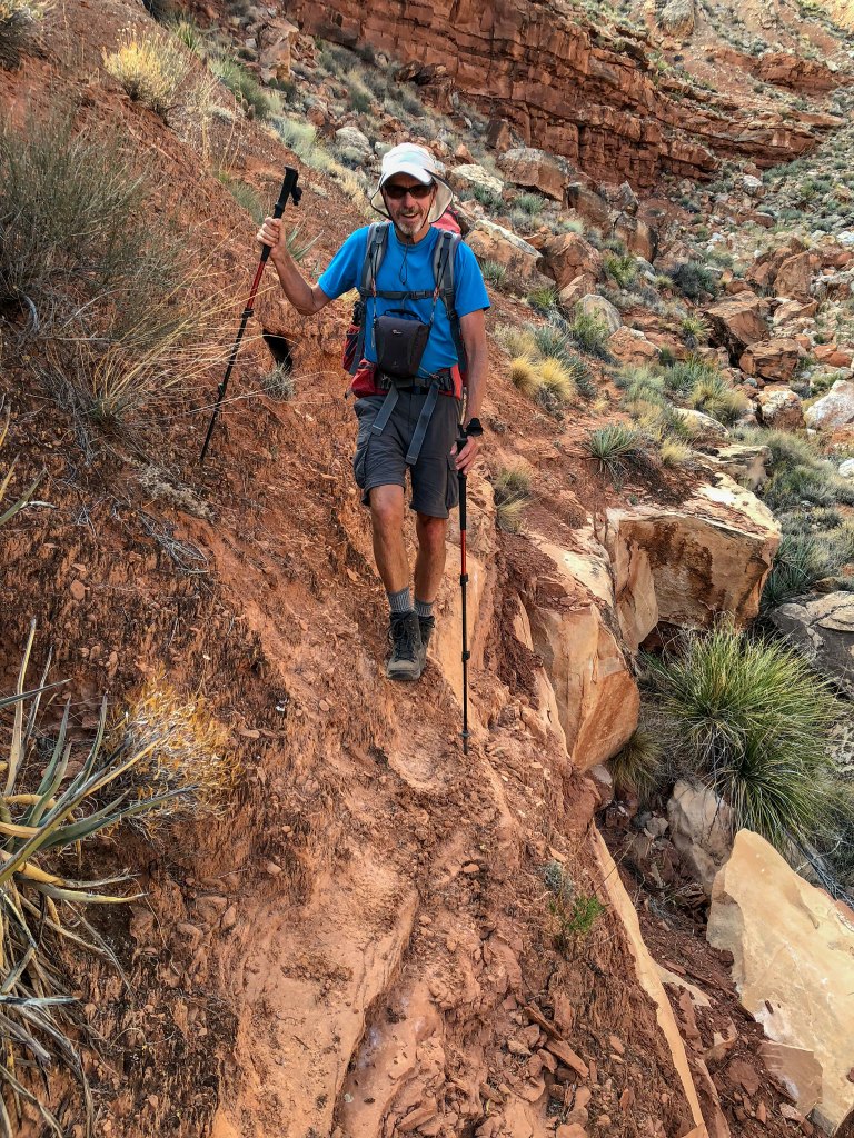
What we needed were clear tracks like this so we could just walk and cover some miles.
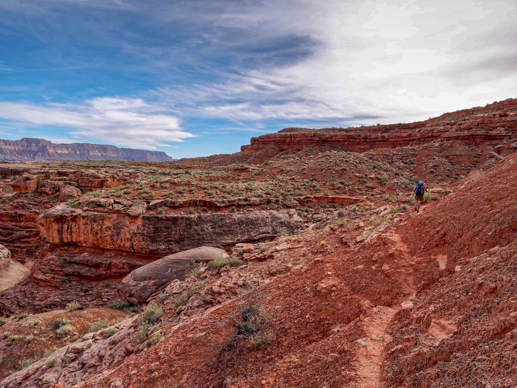
We continued …
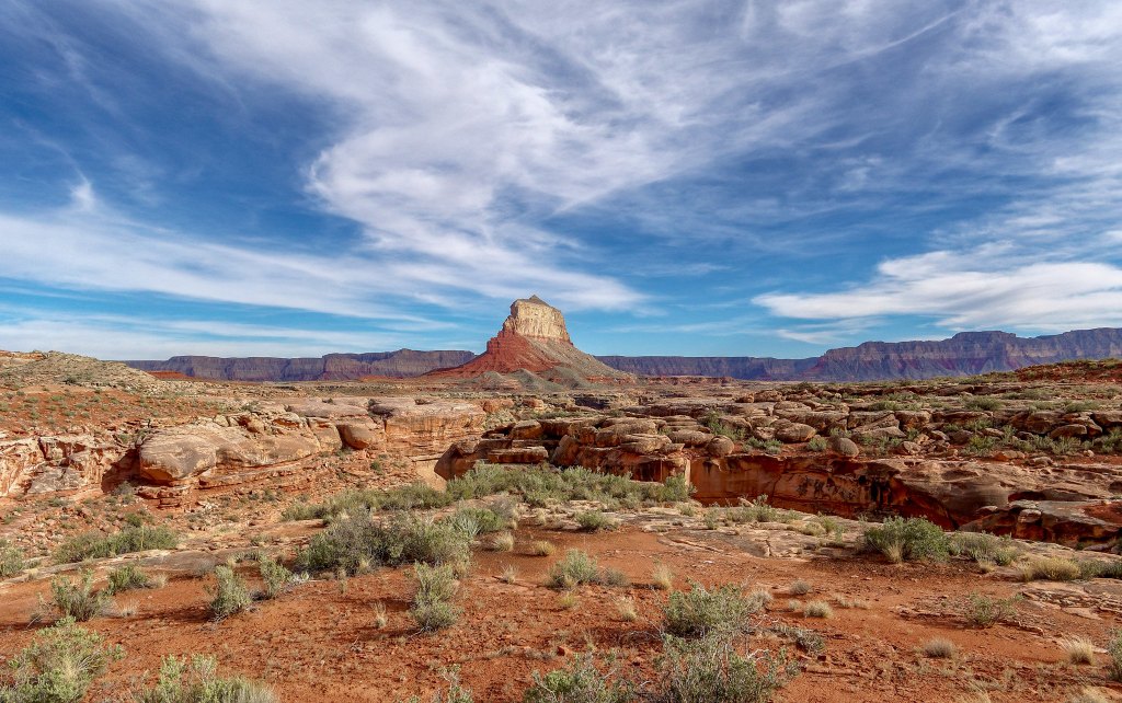
… under the watchful eye of The Dome.
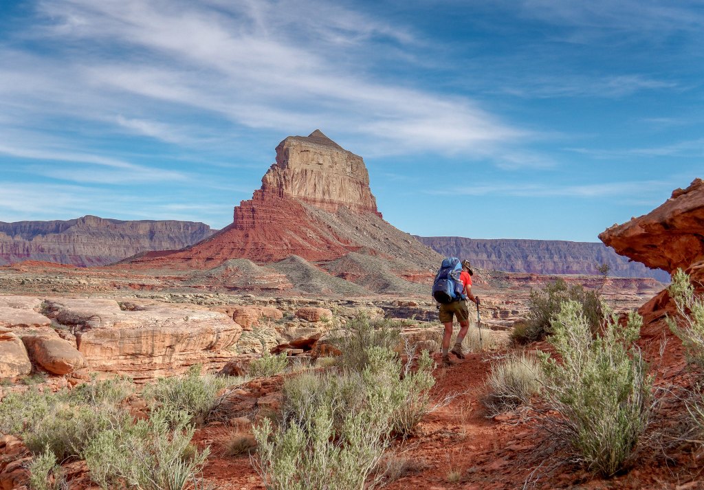
We rejoiced when we encountered sections of well-established trail …
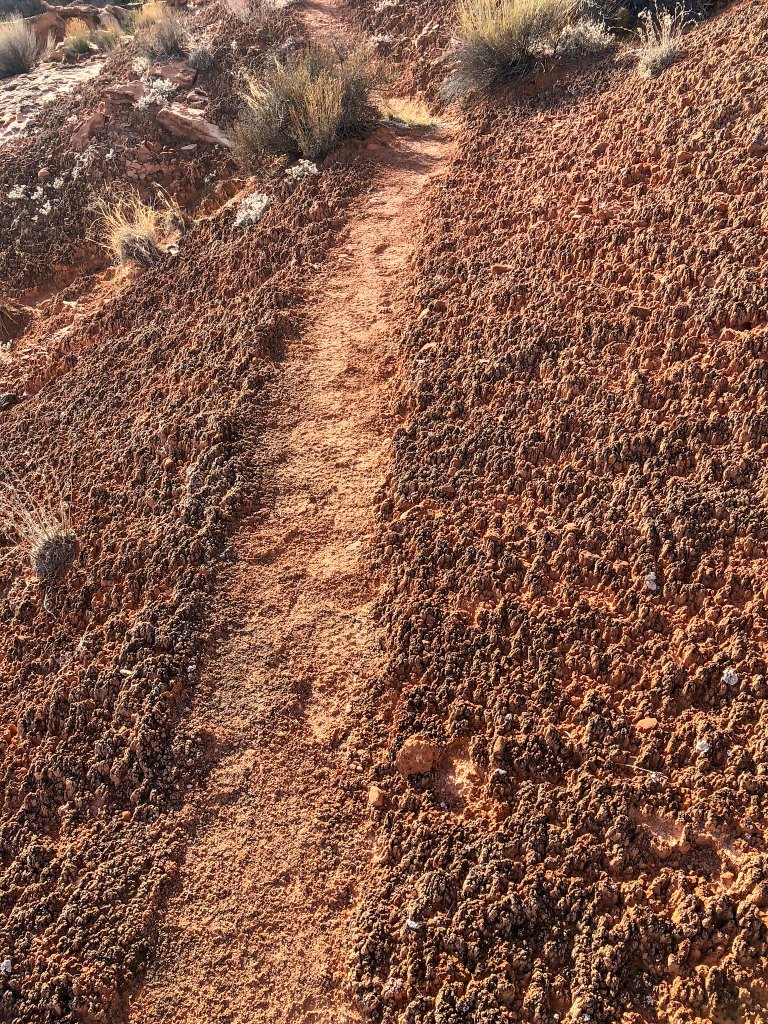
… and were dismayed when it would disappear in the vegetation. It was taking us forever to get to Willow Canyon. However, as we had water, we could dry camp if necessary, so we decided to keep walking until 6:00 p.m. or stop any time after 5:00 p.m. if we encountered water.
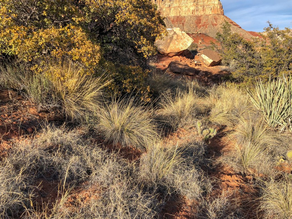
As we began to make our way around the edge of Willow Canyon, we found ourselves on a good broad ledge. However, as we got closer to the head of the canyon, we encountered boulders we couldn’t get around. We realized we were just too high and would not be able to continue all the way around the canyon at that level. Nor could we safely climb up or down to a level that would work. But we were both too tired to backtrack all the way …
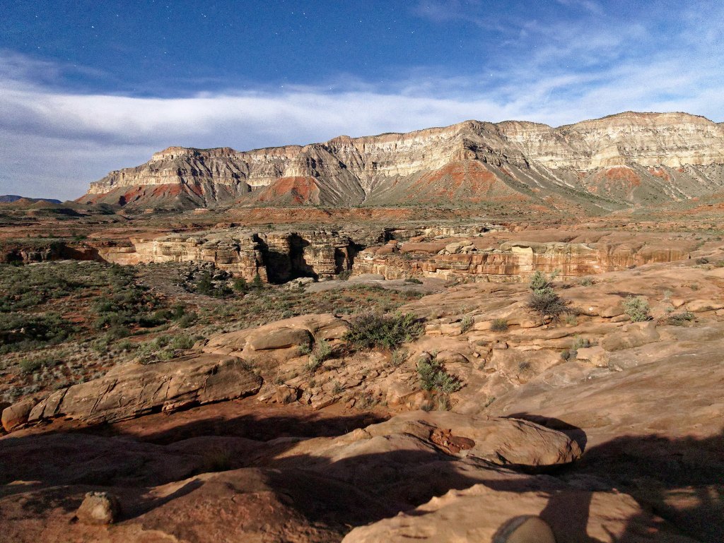
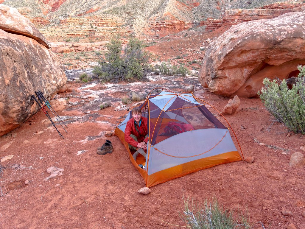
… so we stopped partway back and set up camp.
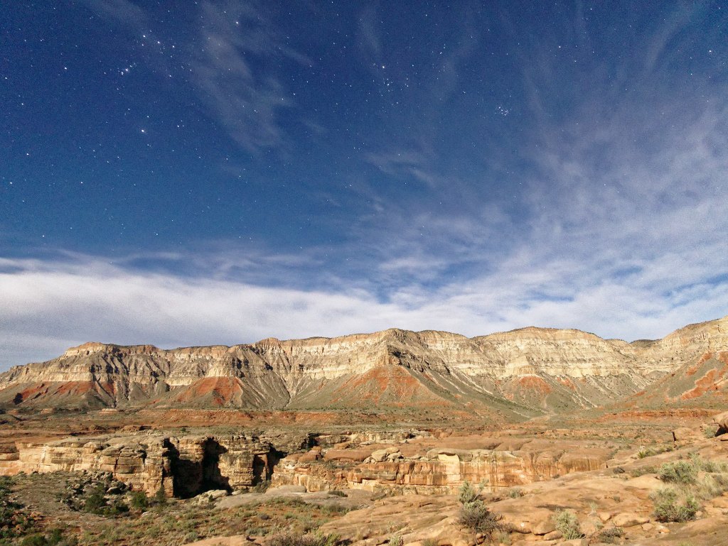
Later that evening, John did some long-exposure photography. The photo below was taken well after dark, as evidenced by the presence of stars, but the moon lit up the canyon, and the long exposure makes it look like the canyon is in full daylight.
We got up early the next morning …
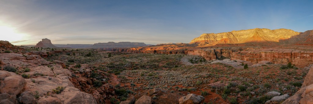
… and backtracked to where we could drop down to a lower level in hopes it would take us all the way around Willow Canyon. The going was frustratingly slow as we would find a track and then lose it. We needed water and hoped it would not have to be from Willow Spring.
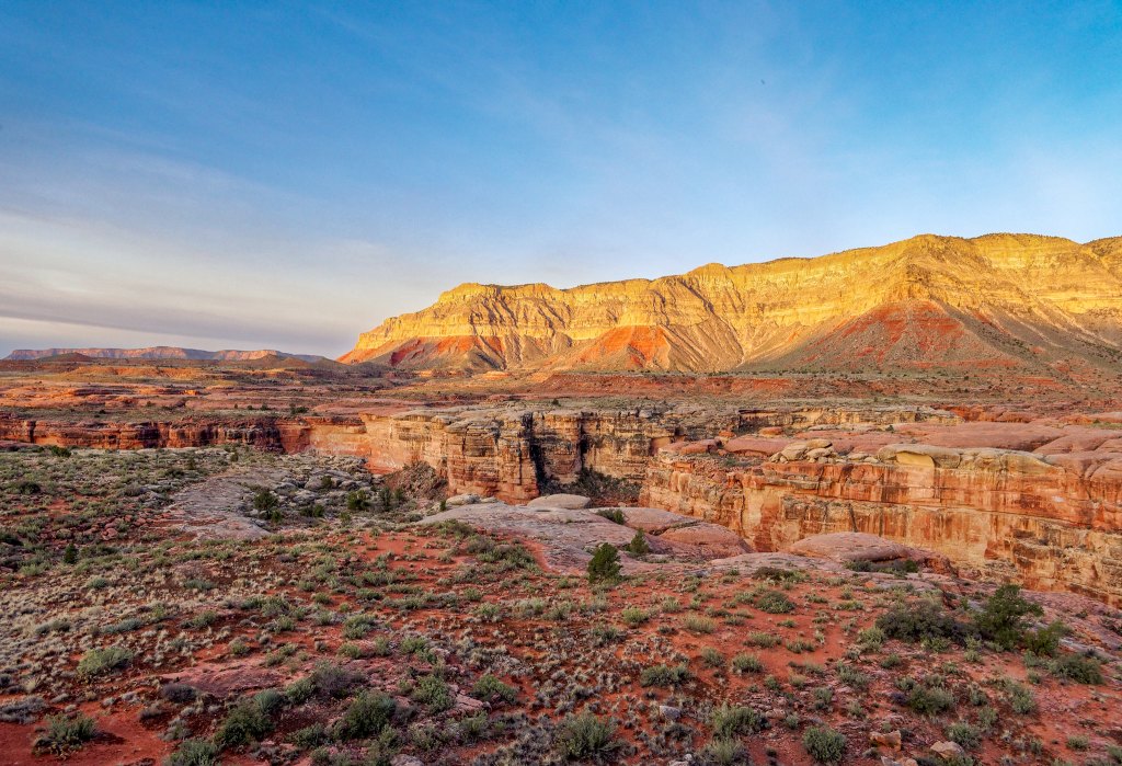
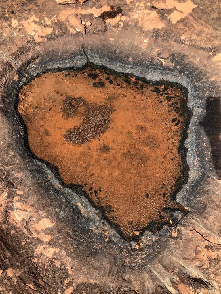
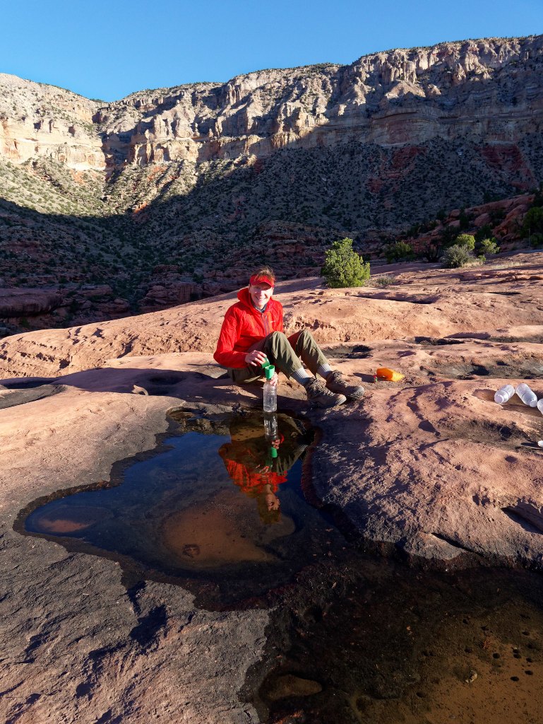
The day was becoming quite warm, and because we were both feeling thirsty, we kept scanning the surrounding area. Then I saw just a bit of a shimmer in the distance that could mean the presence of water in a pothole. This shallow pothole became one of the most beautiful sights I have ever seen.
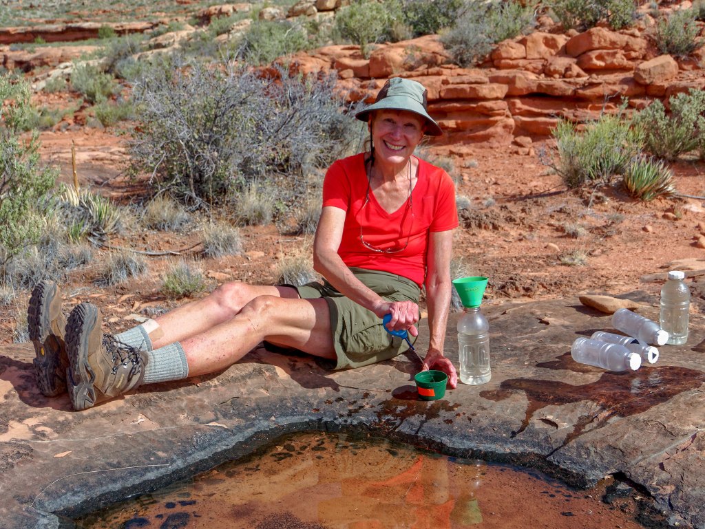
I set to work with the bulb syringe and managed to develop a good technique by resting the tip just below the surface on a small rock that I had cleared of mud.
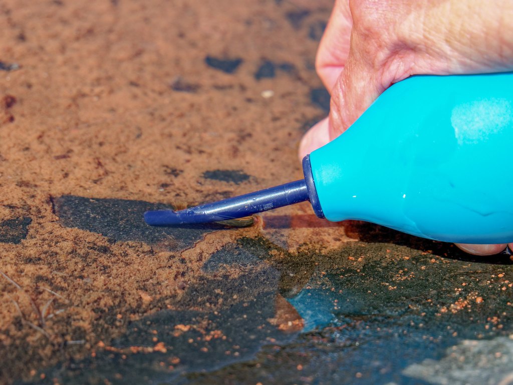
It took a fair amount of time, but it was necessary. I even dug out some of the mud at one end to create a depression and channeled the remaining water toward it. The last 20 ounces I got out were a bit cloudy but still much appreciated.
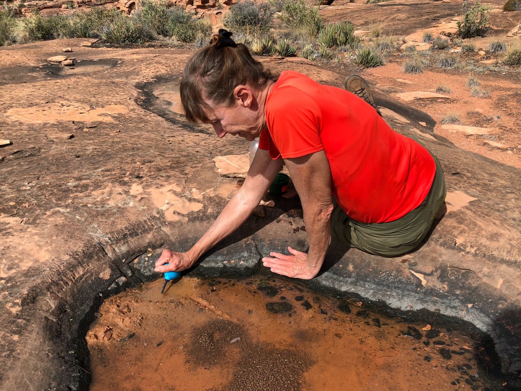
We drained that pothole completely and got a total of 240 ounces of water out of it. I was so relieved there was no sign of any tadpoles or other (visible) creatures living in it. I would have felt terrible for destroying their habitat. However, a pothole that shallow would not have lasted long in the hot sun, so anything living there was doomed anyway.
We continued to make our slow way around Willow Canyon.
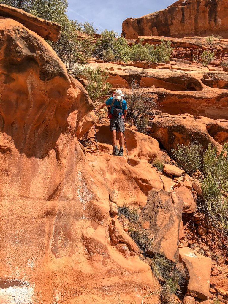
When we finally encountered Willow Spring, we were both again very grateful for that shallow pothole, so we didn’t have to collect any of this “gut-wrecking” water.
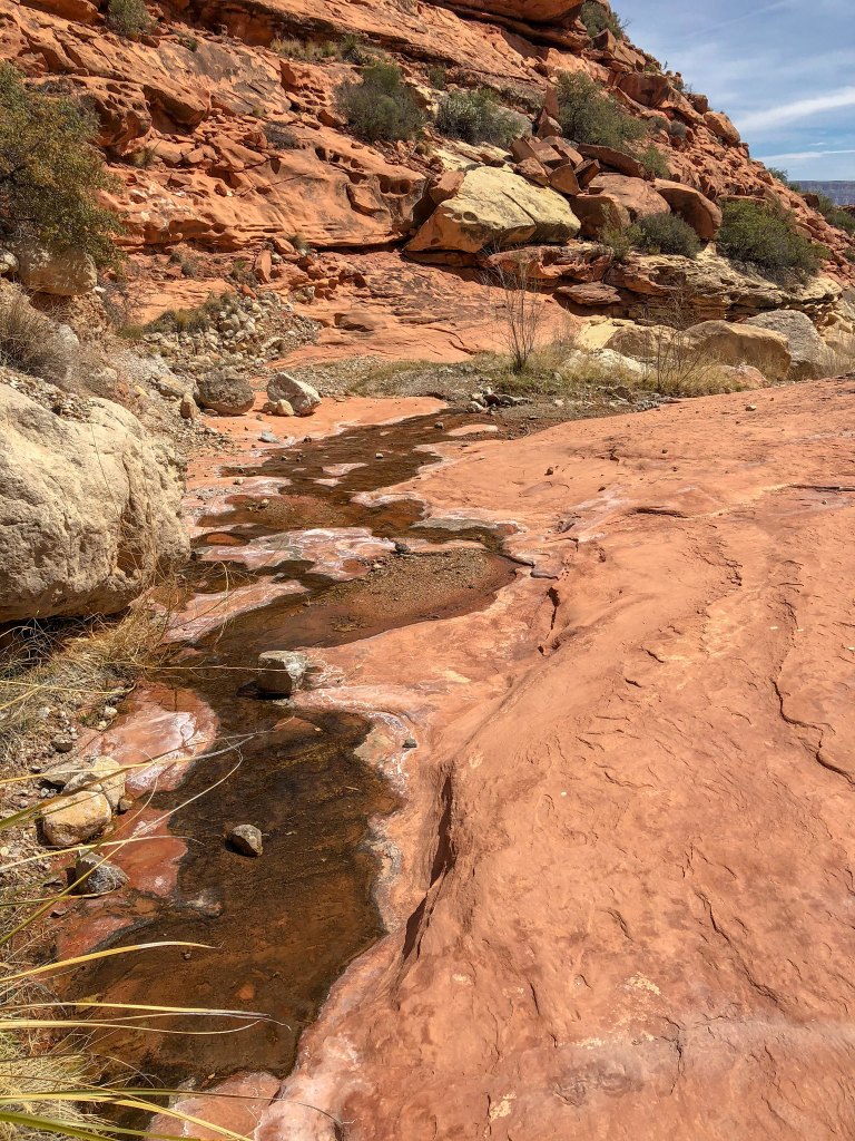
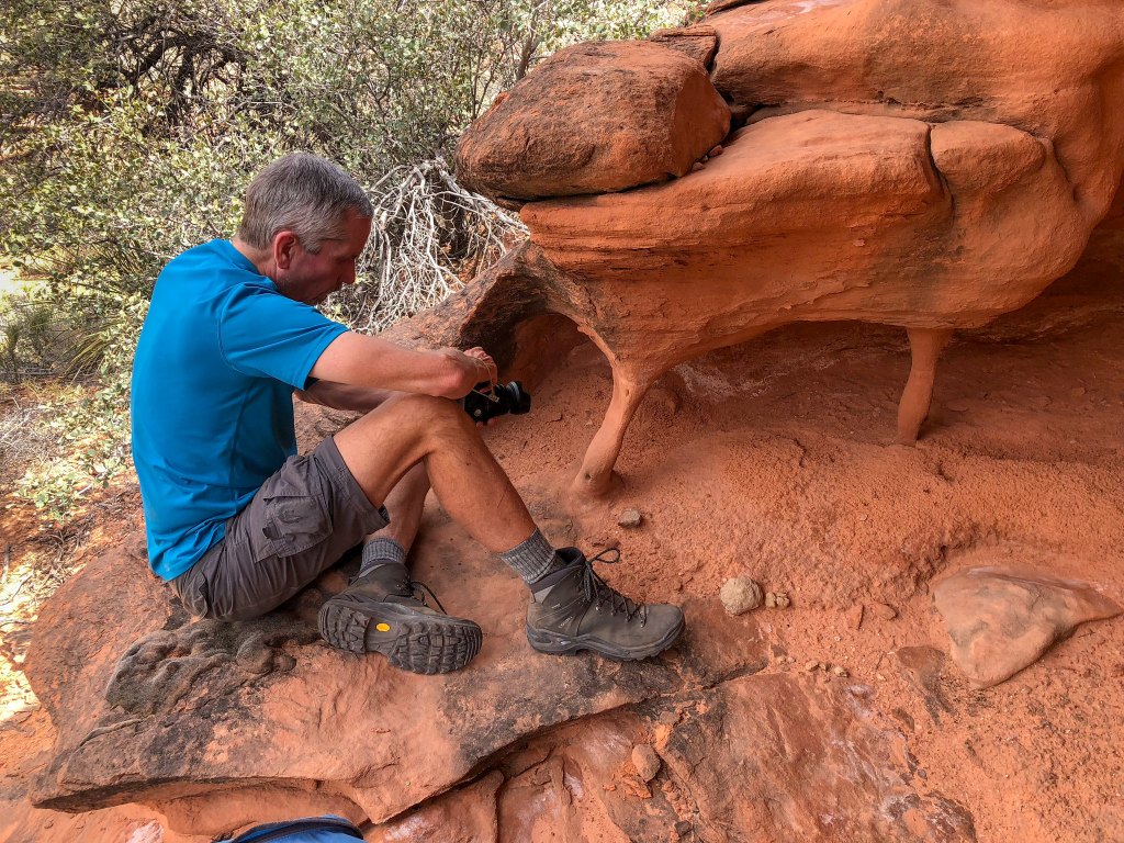
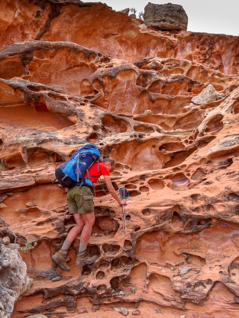
We noticed the character of the rock in the canyon was changing, and we saw some unusual rock formations.
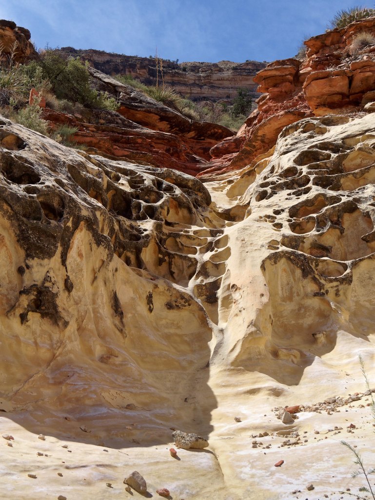
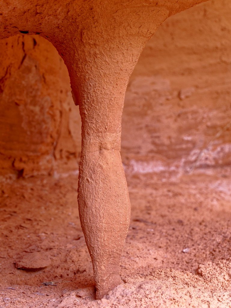
We also encountered interesting “sculptures” …
… including this one, which looks remarkably like the back of a woman’s leg.
We continued to make our way around the many arms of Willow Canyon.
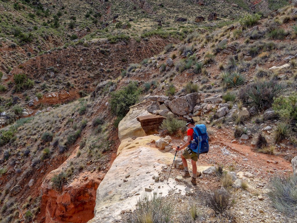
The going continued to be slow …
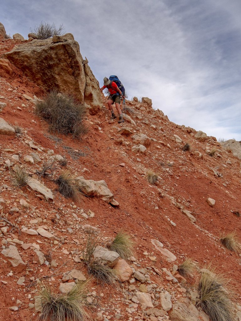
… despite the presence of a sketchy track every now and again.
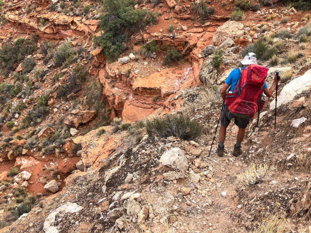
Finally, Stairway Canyon came into view …
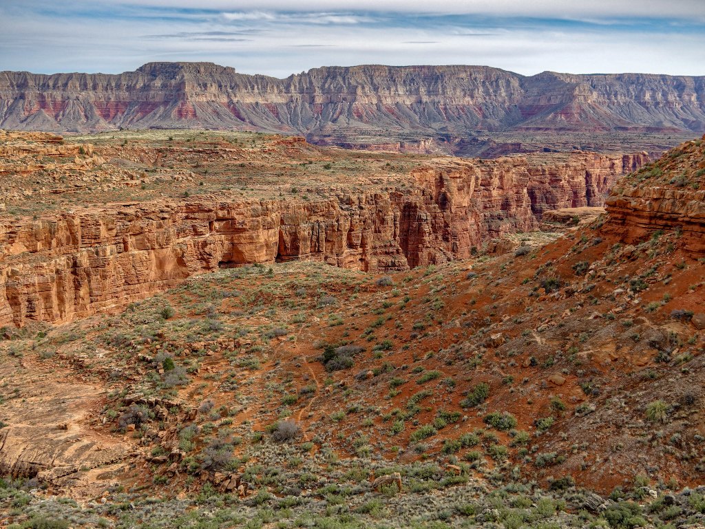
… and we were interested to see the presence of an obvious track below us, apparently leading out of the canyon. We were interested because three years earlier we had tried to do the Tuckup/Stairway Loop but were unsuccessful at finding our way past a major obstacle in Stairway Canyon, a 50-foot pour-off (photo). It appeared that, had we found our way, we would have come out on the track we saw below us. What we realized then was that we were “over our heads” in more ways than one on that route. At that point in time, we lacked the experience and the navigational skills needed for this remote area of the Grand Canyon.
We were largely ignorant of potholes and how to find them and were assuming we would rely on both Willow and Cottonwood Springs for water. It was early May and we had not paid attention to the previous weather so had no idea when the last rain had been. Given what we know now, I think we would have been headed for trouble, potentially serious trouble. It could be that not finding our way past that pour-off and having to go back the way we came was one of the luckiest things that ever happened to us.
By this point in the day, we were both hot, tired, thirsty, and cranky. Fortunately, John still had enough wits to scan the area, and he saw a bit of a “shimmer” on the Supai in the distance (Do you see it?) We got excited because …
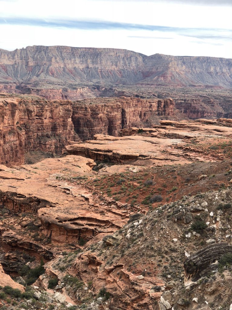
… it might be a pothole.
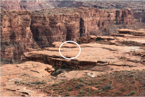
We pushed ourselves on …
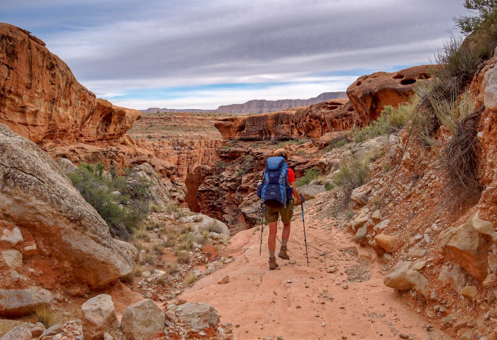
… negotiating some more unusual rock formations …
… and headed toward it. As I got closer, I hesitated to trust my eyes as I thought it must be a mirage …
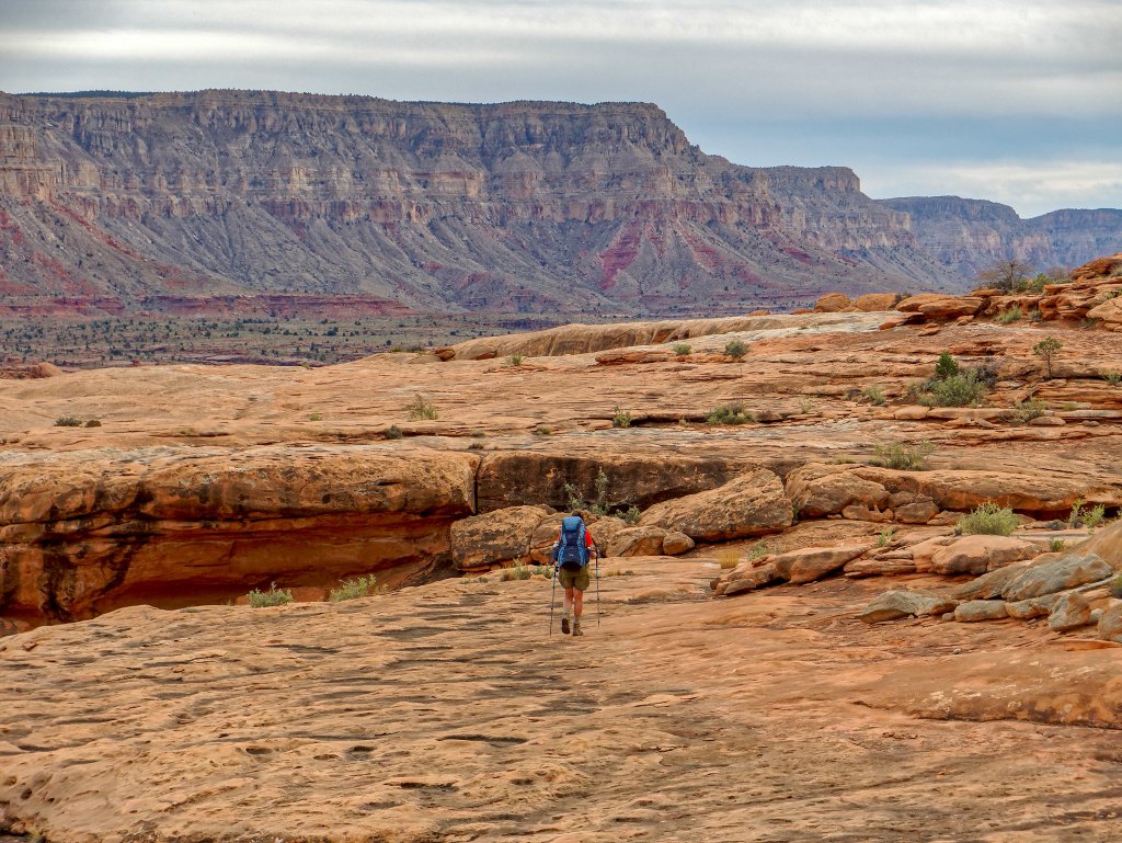
… but instead, we were welcomed by a glorious pothole!
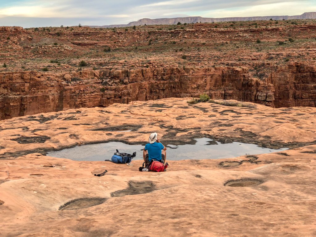
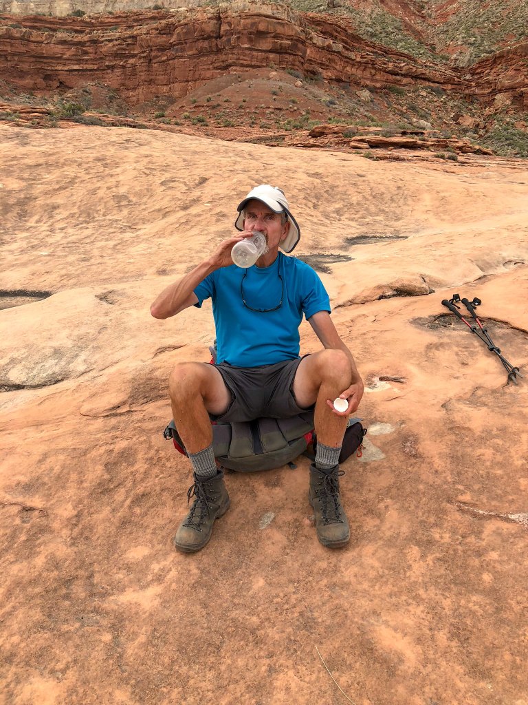
It was sheer pleasure to drink our fill of clear, cool water.
We set up camp nearby …
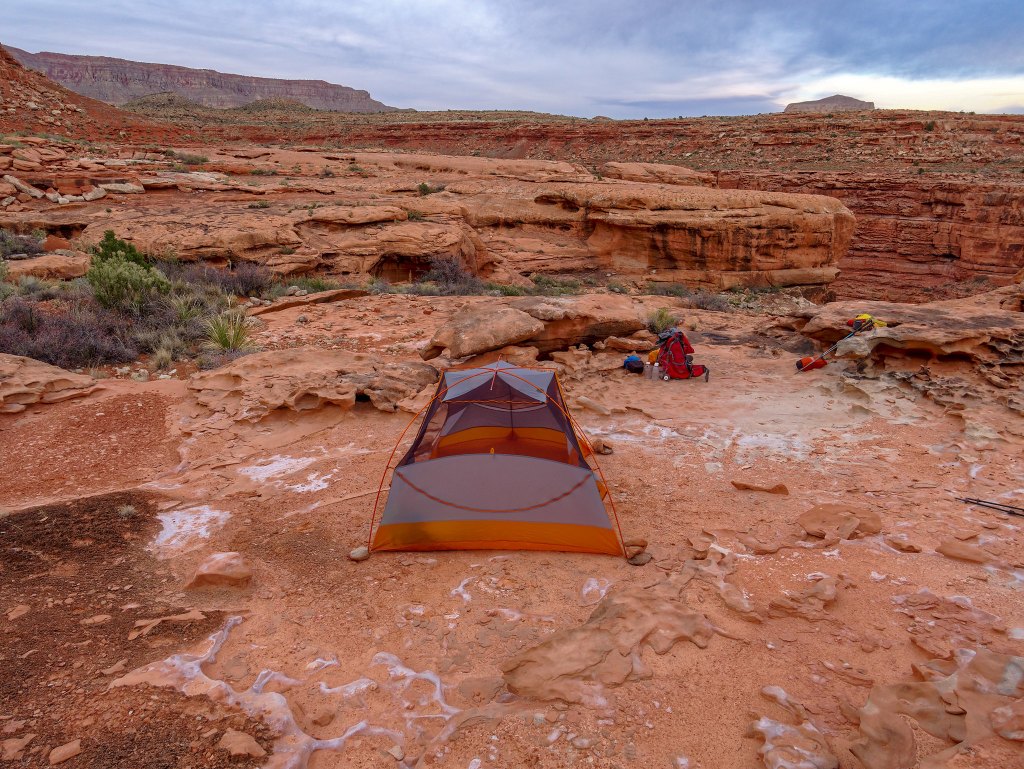
… in the middle of a veritable “sculpture garden”.
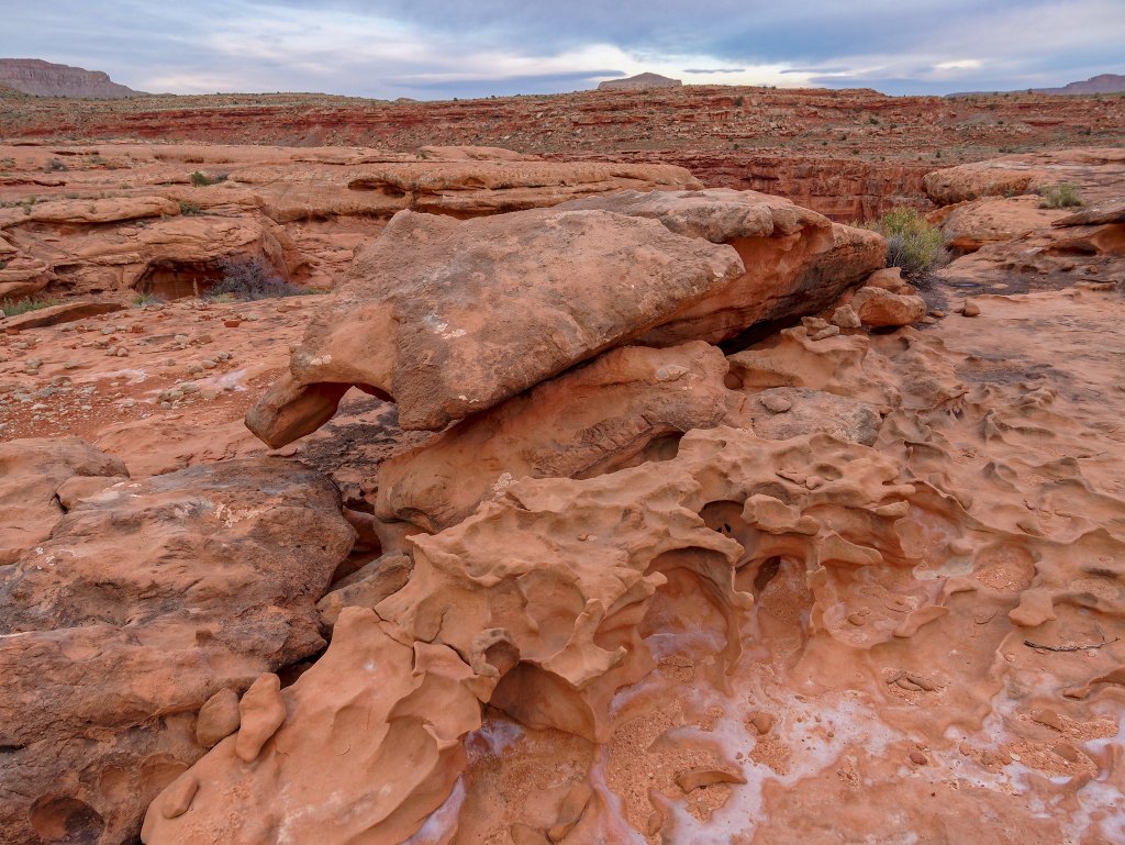
John spent a fair amount of time trying to capture the intricate shapes …
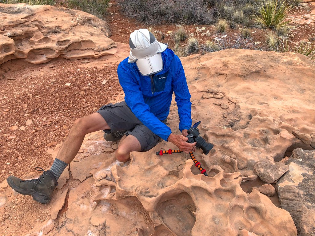
… but it was challenging.
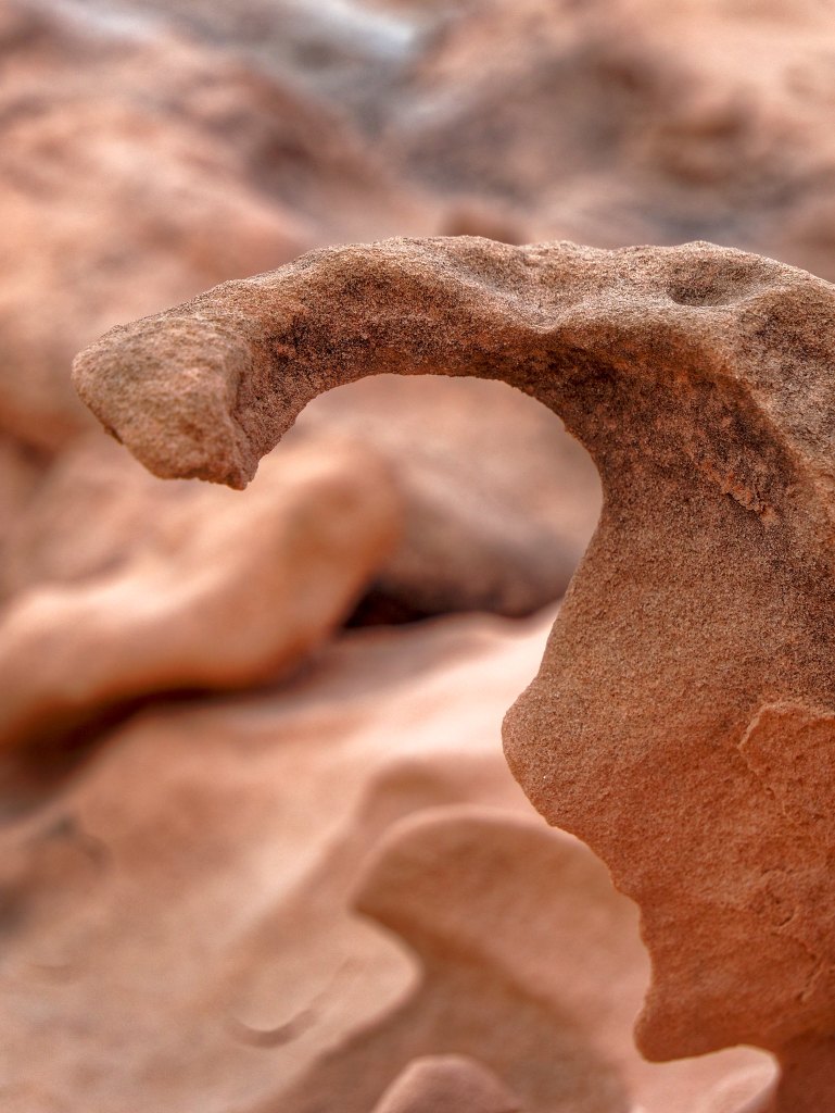
Each abstract shape was unique …
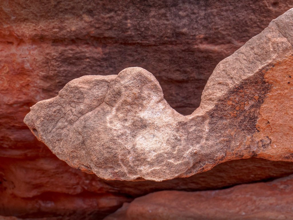
… and a work of art, but the true beauty of the area was the entire “collection”. A photograph could not accurately capture it.
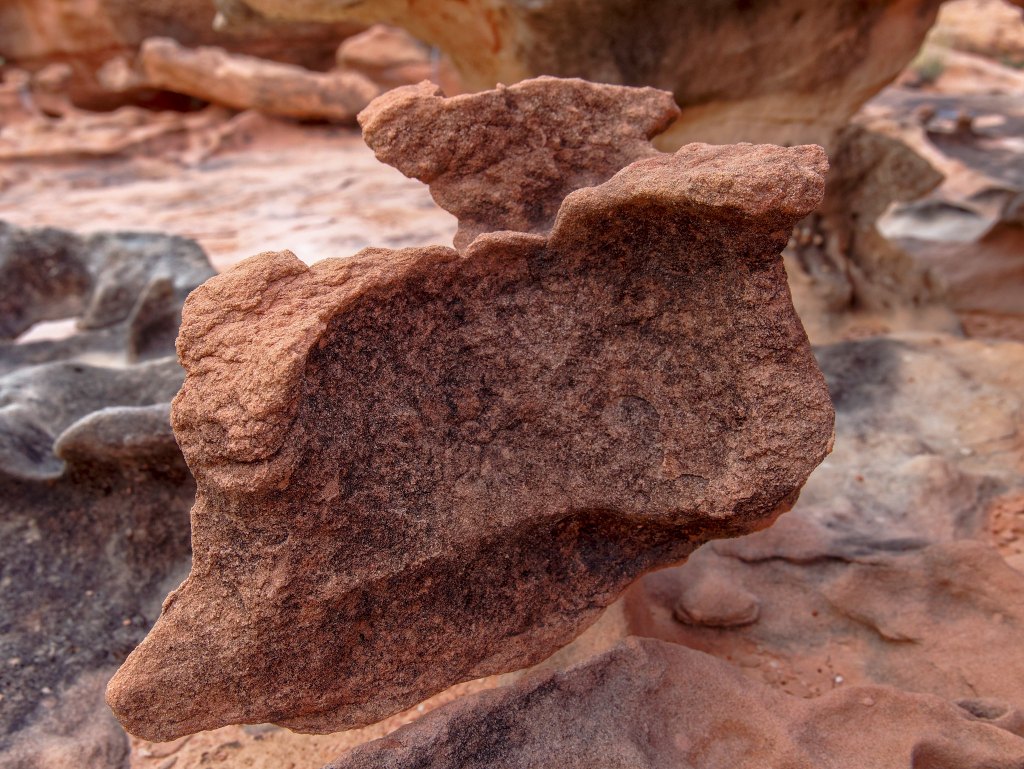
One simply must be there in person to fully appreciate this magical place. It is another of my favorite campsites, and the next morning we reluctantly left it behind.
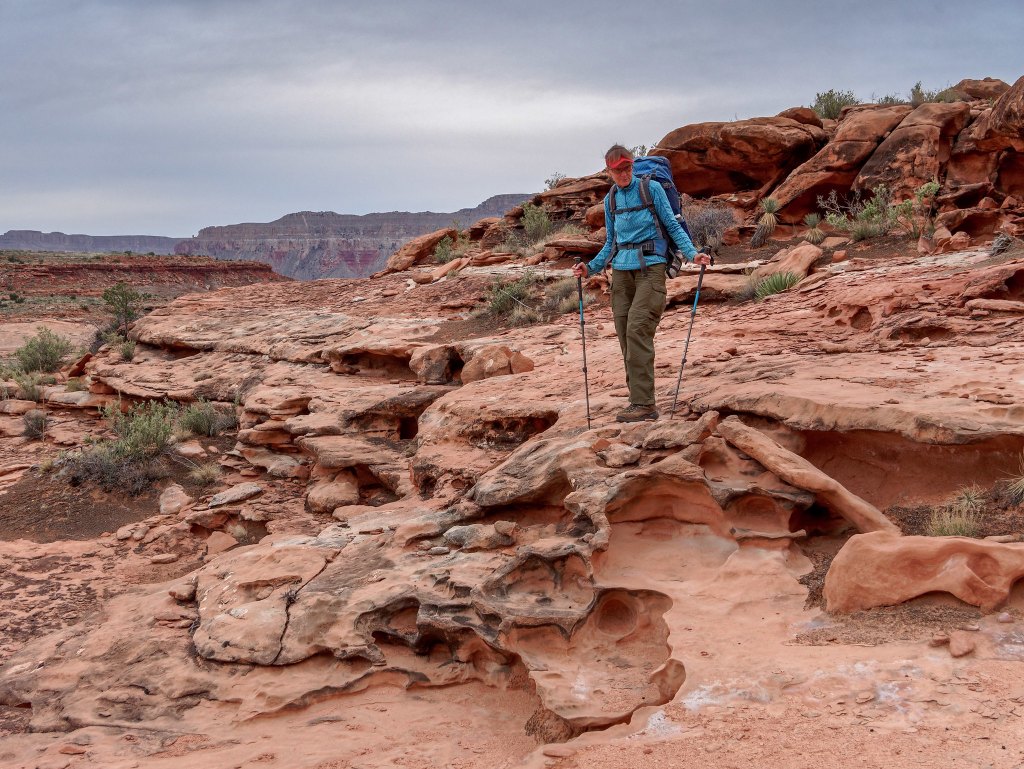
Unfortunately, we had once again hiked fewer miles than planned the previous day. This was supposed to have been our last day out, but our best estimate was that it was still at least 18 miles to Toroweap, where our Jeep was patiently waiting for us. We tried to feel optimistic. We reasoned that the closer to Toroweap we got, the better the trail should be due to it getting more traffic from day hikers. We reminded ourselves that the last day of our Tuckup east trip was a 17-mile day, more than half of which was off-trail and cross-country so maybe we could make it.
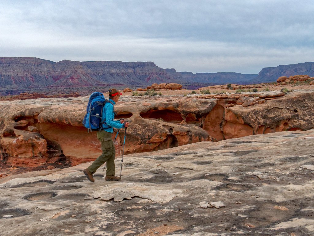
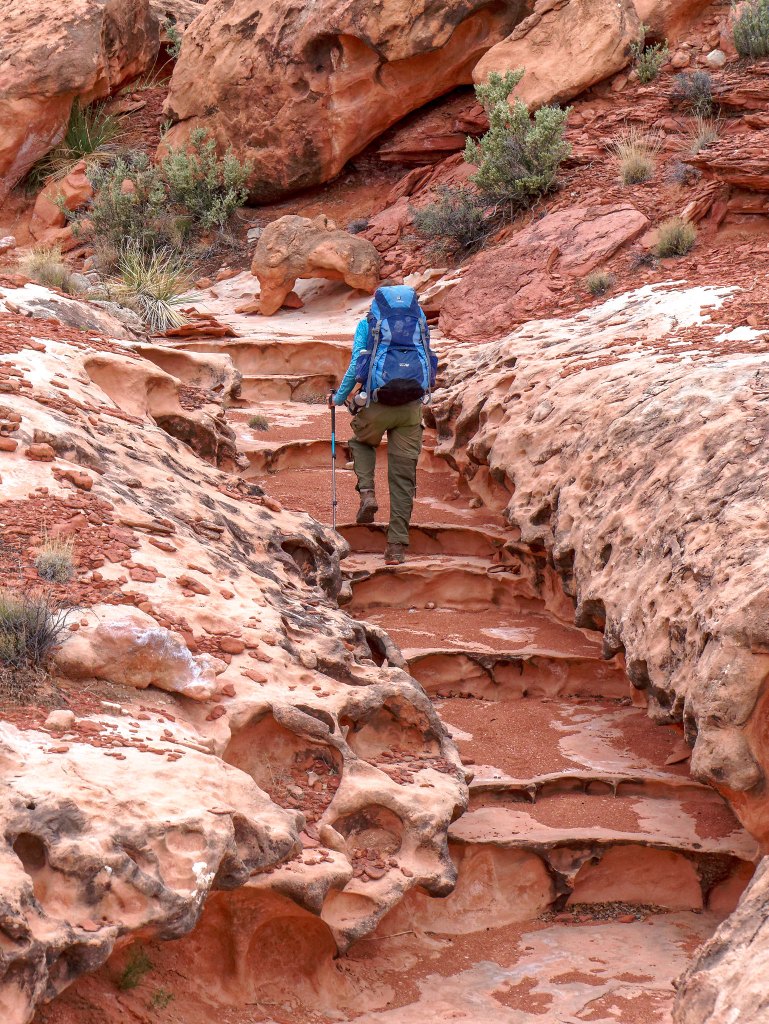
We encountered more unusual rock formations. When we attempted the Tuckup/Stairway Loop three years earlier I had idly wondered how Stairway Canyon had earned its name. I think I might have been given a clue.
When we encountered a clear track, we were able to make good time. Our intent in the desert is always to stay on the trail and avoid damaging the cryptobiotic soil—“crypto” for short and also known as biological soil crust—which stabilizes the soil and helps support the desert ecosystem.
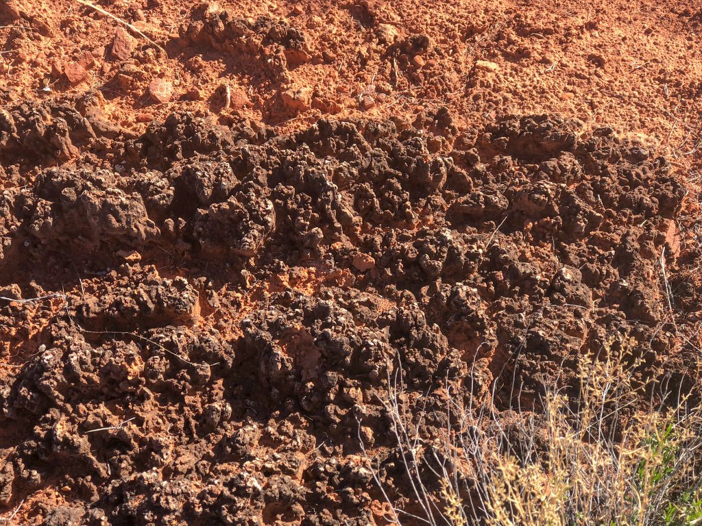
The track through the crypto was extremely easy to follow.
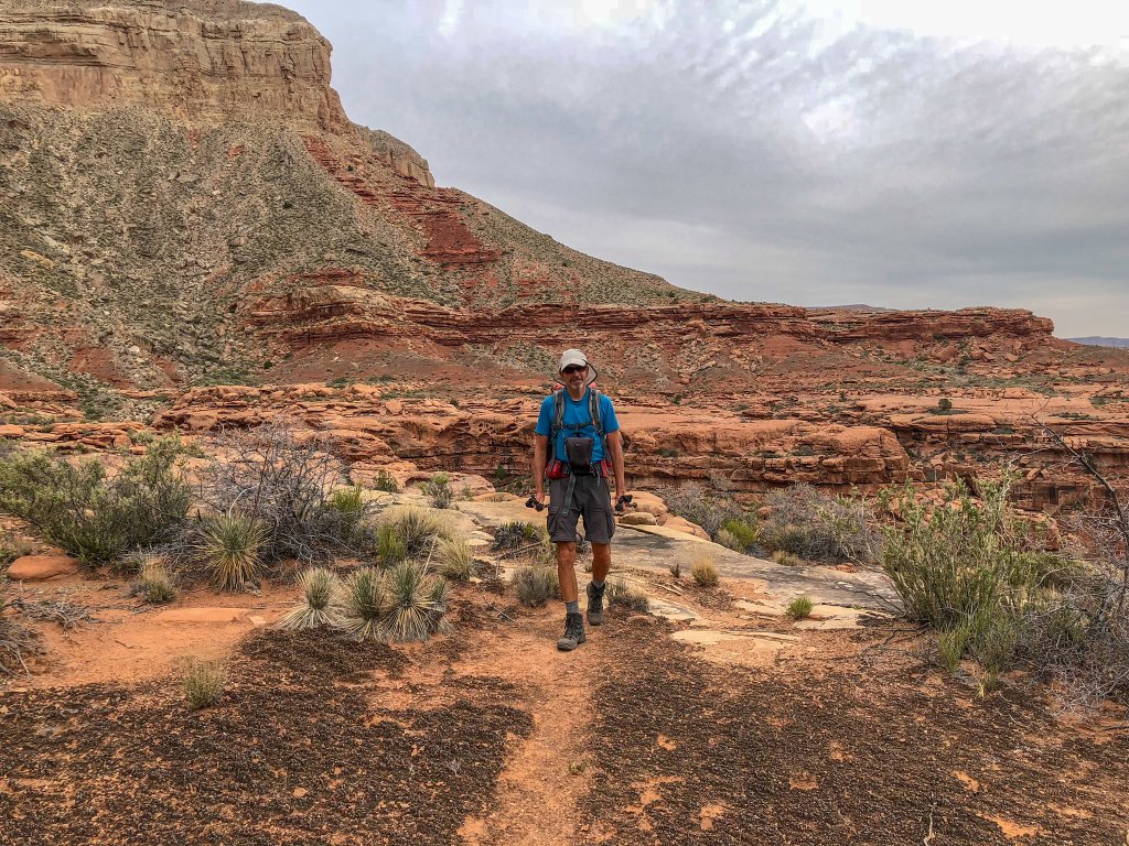
However, we encountered additional “social trails” through the delicate crust …
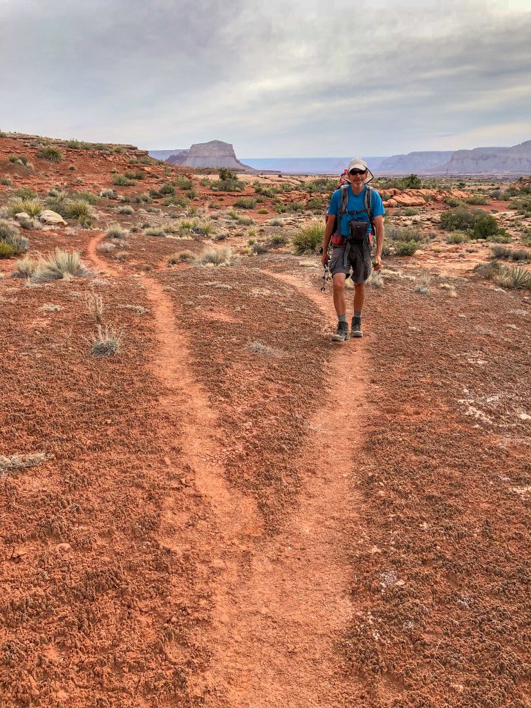
… that got lost in the vegetation. I wasted too much time and mental energy trying to find the “real” trail and avoid stepping on and damaging more of the cryptobiotic soil.
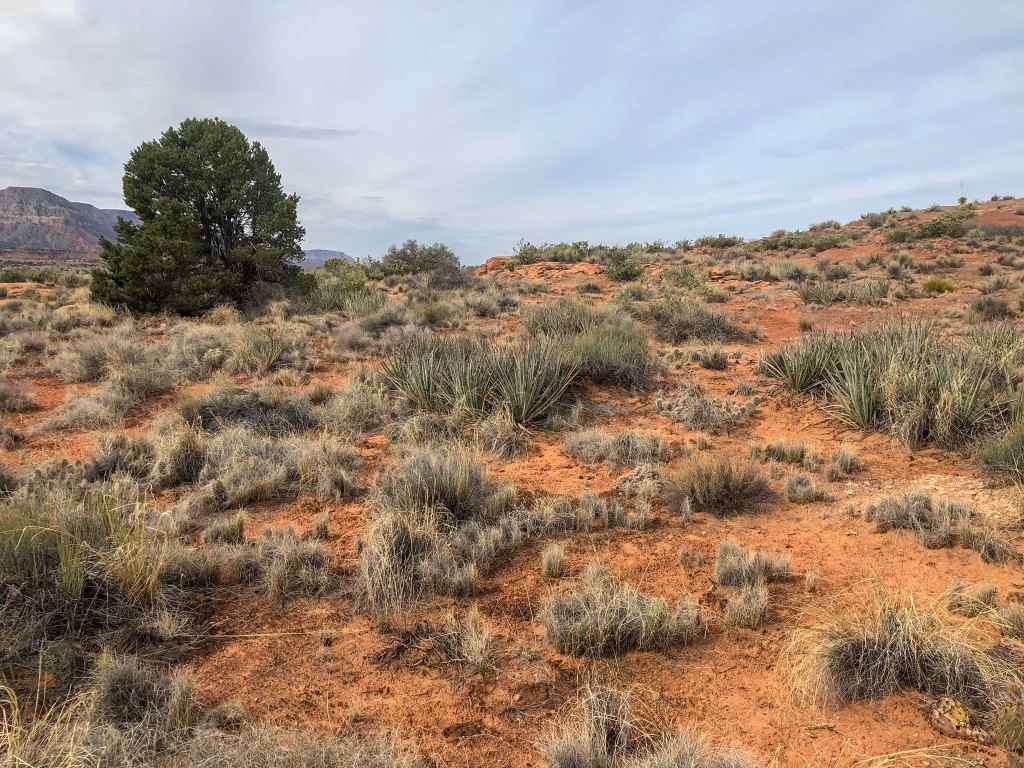
It was a treat when we could just walk on open gravelly terrain and the only mental energy we had to expend was on enjoying where we were.
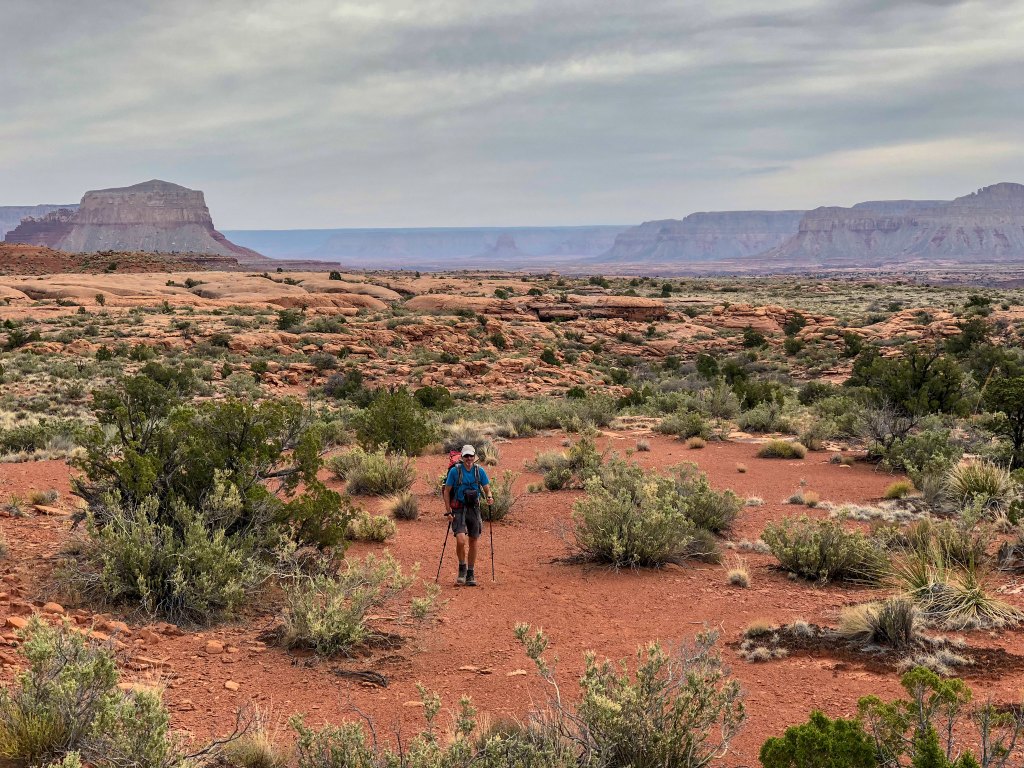
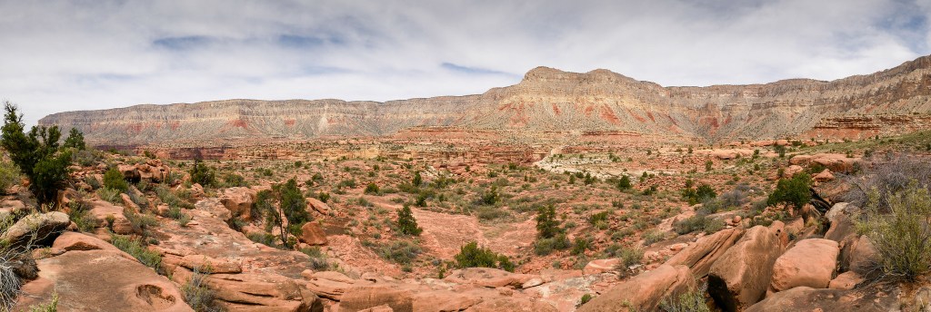
But as the day progressed and we rounded Big Point the terrain became more challenging …
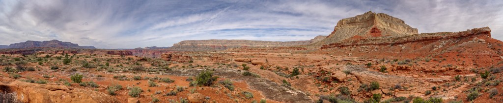
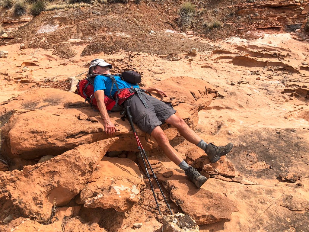
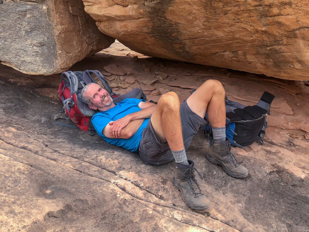
… and it took its toll so sometimes we just needed to stop and take a break.
We continued hiking, trying to maintain a steady pace over the varied terrain …
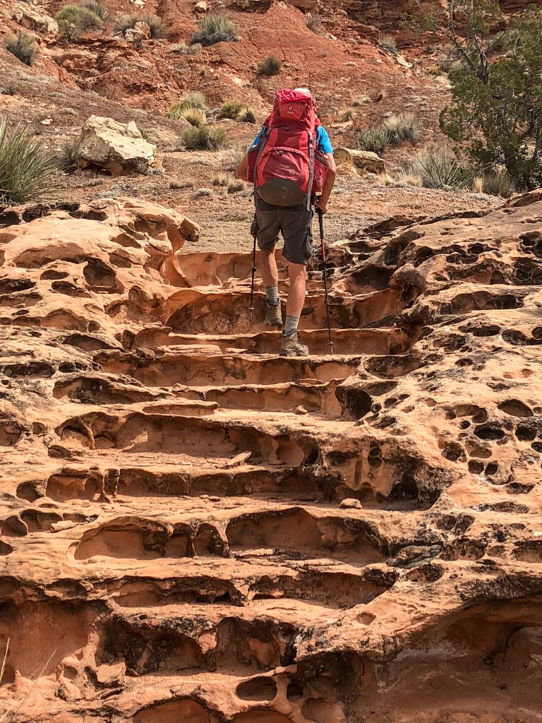
… but we were simply unable to maintain a pace that was fast enough for us to realistically reach Toroweap that day. Again, we contemplated hiking after dark and knew the last two miles were an old road so it should be easy to follow after dark. However, we still needed to get around some side canyons, so we were concerned about route-finding by headlamp. It became apparent we might need to spend another night out, which meant we were now short of food.
This was not the first time we had been forced to extend a backpack trip but in the past, we realized the need early enough in the trip that we could almost comfortably stretch our remaining food. Unfortunately, now we did not have much left: only lunch for both of us and some snacks for John. In fact, I ate the last of my food for lunch that day.
However, I was not particularly concerned about becoming hungry. About six months earlier, I had begun following a ketogenic diet, and I believed my body had become accustomed to drawing on stored fat for energy. I knew I easily had enough reserves to get through another 24 hours without eating.
John ate a more conventional high-carbohydrate diet and felt less prepared to go without food. He started rationing what little food he had left (nuts, dried fruit, a granola bar, and chocolate), consuming only enough to try to keep his blood glucose high enough to prevent “bonking”. He was moderately successful.
We had both been conserving our water in case we were forced to dry camp that night so were both quite thirsty. Fortunately, early that afternoon we found another pothole.
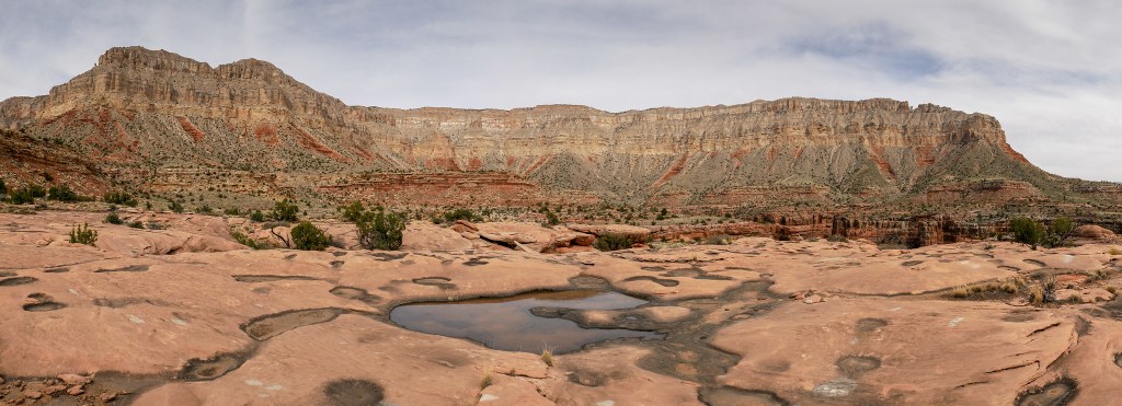
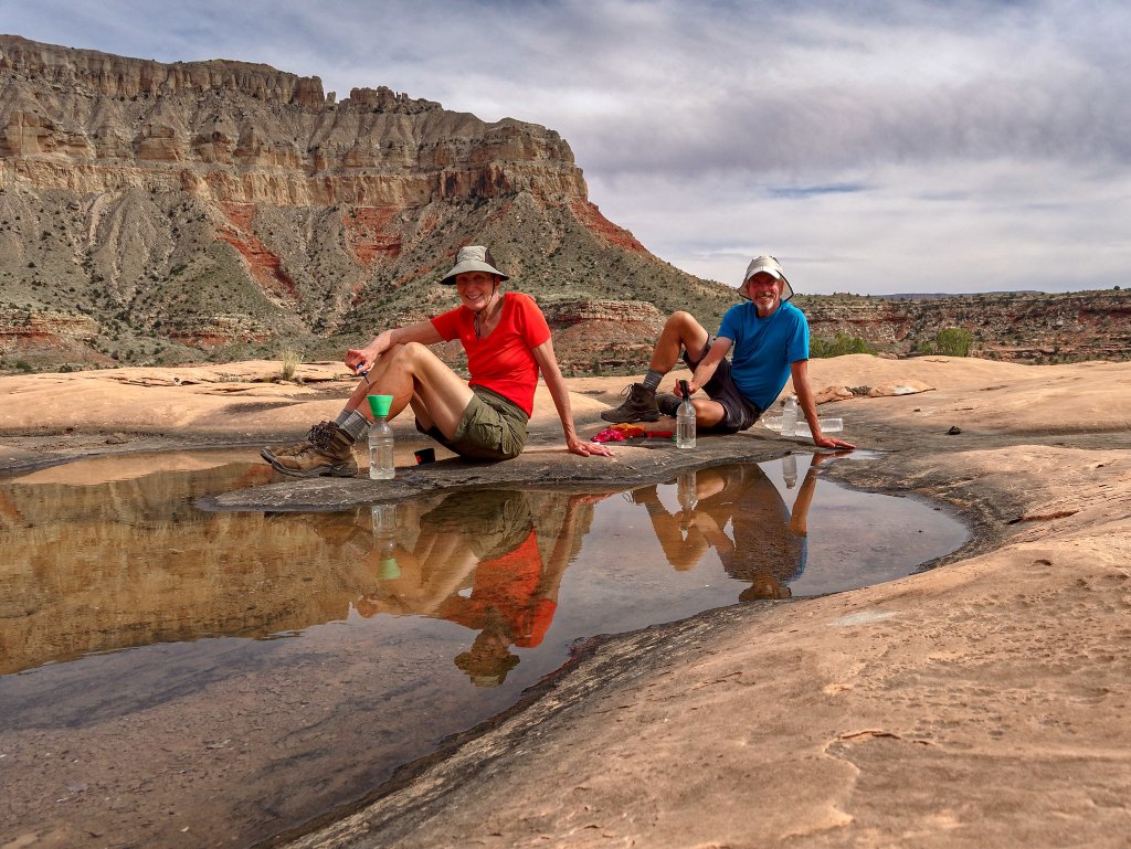
We both drank our fill and felt much better. We were uncertain whether we would encounter more water and considered loading up. However, the additional weight would slow us down significantly. It seemed possible that we could encounter more potholes but there was no guarantee. We decided to take that chance, so we didn’t load up. One advantage to being out of food was that we didn’t need additional water to cook with.
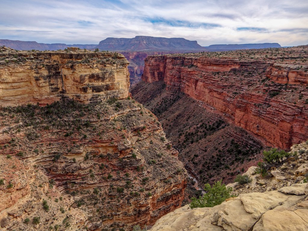
We continued our slow progress. We had a sizable group of side canyons ahead of us to get around, beginning with Big Point Canyon. I had hoped as we got closer to Toroweap that the Tuckup Trail would be more of a “trail” (and less like the Tuckup Route we had just done), requiring fewer navigational decisions. However, we were encountering even more “social trails” created by previous hikers who had varied ideas about which way to go. Some chose to take shortcuts over steeper terrain rather than stick to a longer, more gradual route. We were led astray by such a track or an errant cairn more than once. I am ashamed to admit that, in my frustration and fatigue, more than once I did what others have obviously done. I simply picked the path of least resistance and just walked whether I thought I was on the trail or not.
We walked fast when the terrain allowed, …
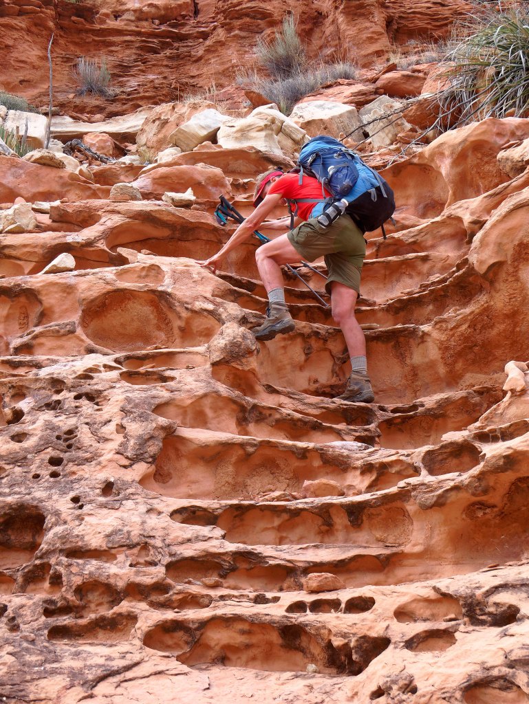
… negotiated any obstacles we encountered …
… and rested when we needed to.
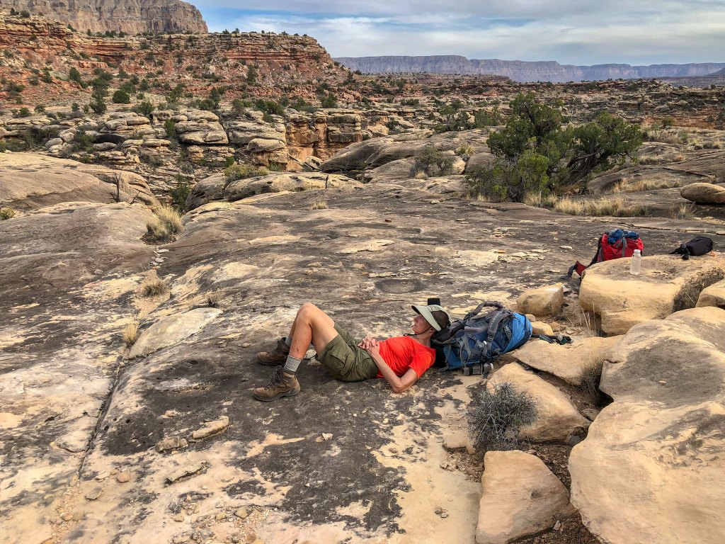
Big Point Canyon seemed to go on forever but we finally got around it. We had decided we would keep walking until 6:00 p.m. and dry camp. The next huge side canyon we encountered was Cove Canyon …
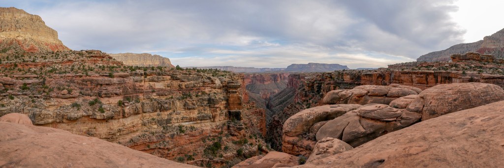
… where we saw the tell-tale “shimmer” in the distance that indicated the presence of potholes!
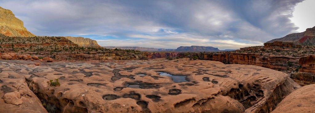
We gratefully set up camp nearby.
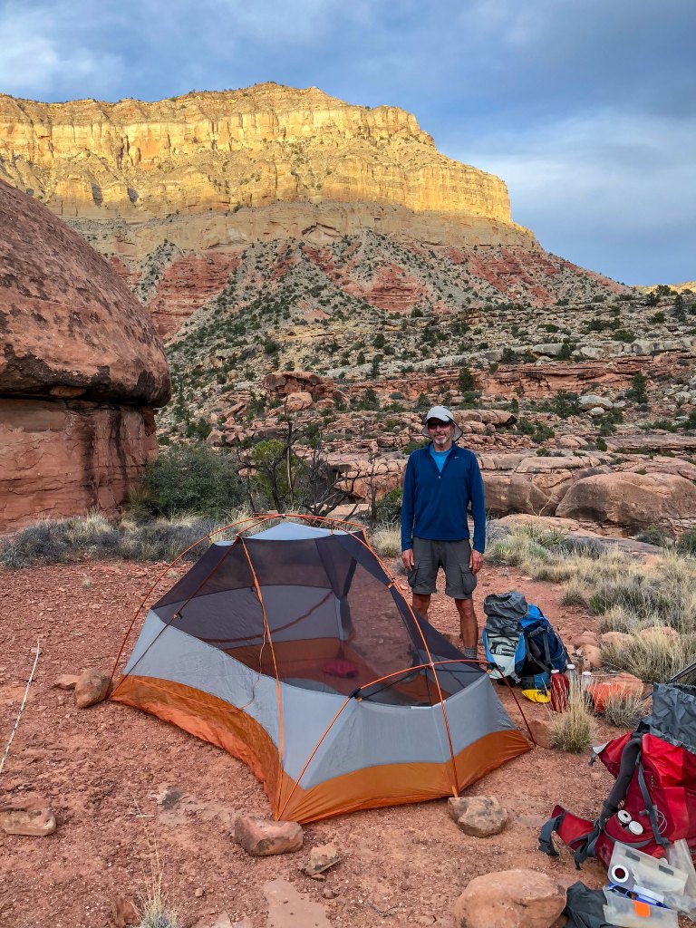
I was quite tired and happily climbed into my sleeping bag sipping a cup of ginger tea in lieu of supper …
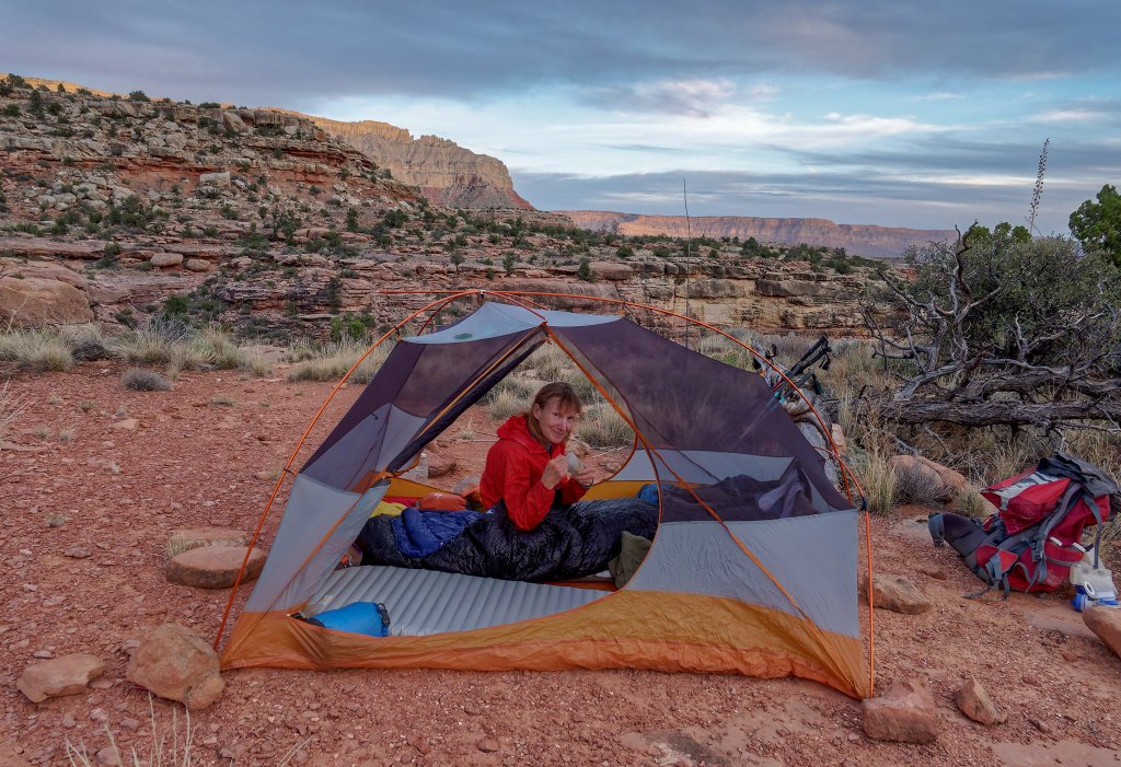
… while John, who was feeling surprisingly chipper, went out with his camera to photograph the lovely evening sky.
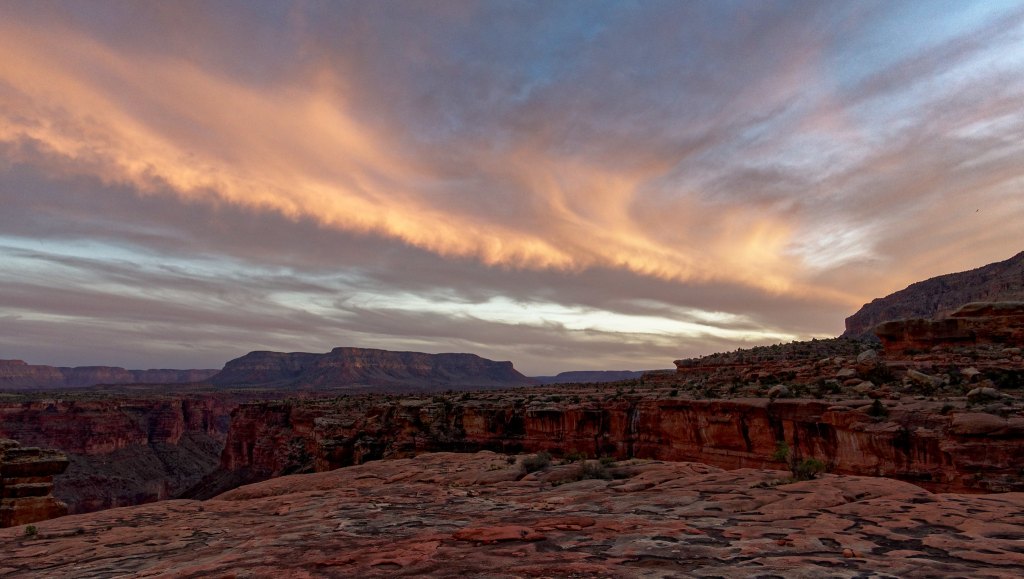
The sight of this sunset put everything into perspective for us. It caused us both to feel so lucky to have been able to be in that exact place at that exact moment with the time and the leisure to simply enjoy it without the pressure of making the miles and covering the distance. Going without food was a very small price to pay for this experience.
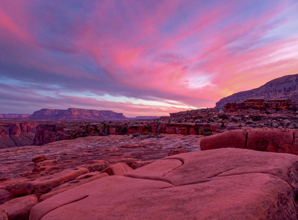
The next morning, we slept late, at least by canyon standards.
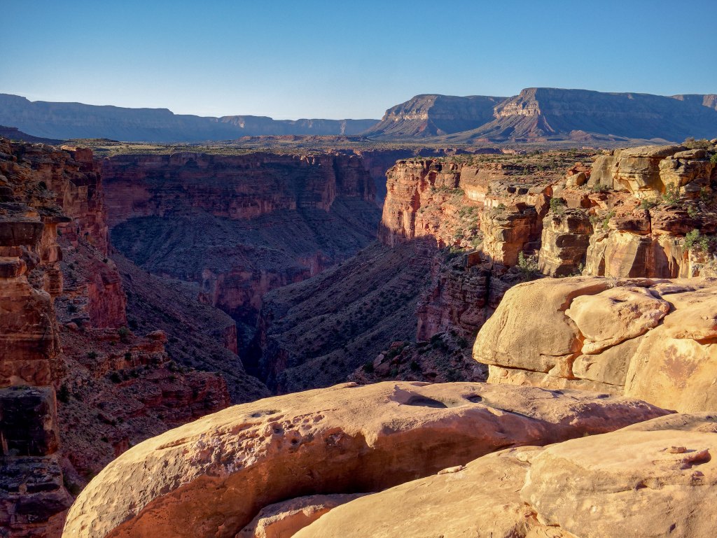
We collected enough water to see us the rest of the way out. We had extra water as well as some food in our car so for the first time in many days we knew exactly where our next source of water was and it was reassuring.
We continued the long journey around the huge Cove Canyon.
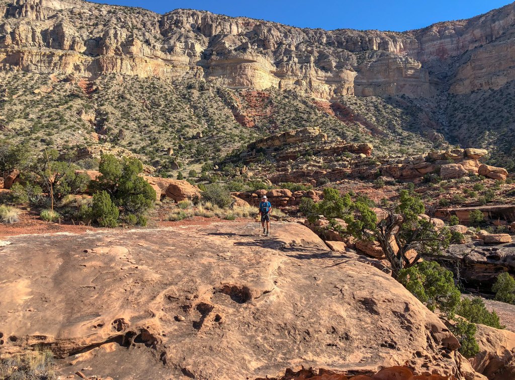
John continued to ration his small amount of remaining food, but I found that fasting while hiking was not difficult. While I felt tired, I did not feel hungry. John “bonked” a few times and needed to take breaks, whereas my energy level remained constant and my mood was quite positive.
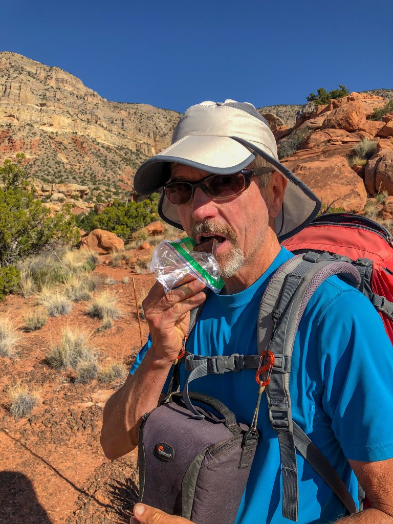
After Cove Canyon came Burro Canyon …
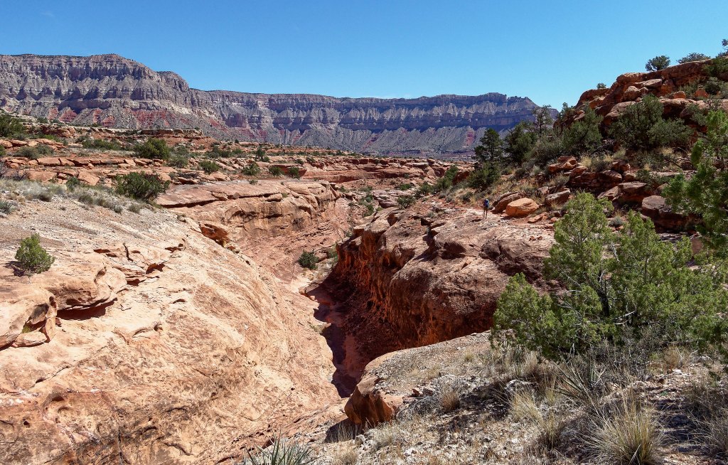
… and I can’t honestly say which photo is of which canyon. At that point in time, after having spent 12 days hiking on the Tuckup Trail and Route, we were ready for a break from side canyons.
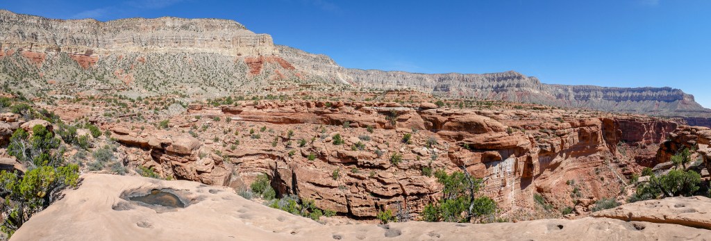
We were not sad to leave them behind.
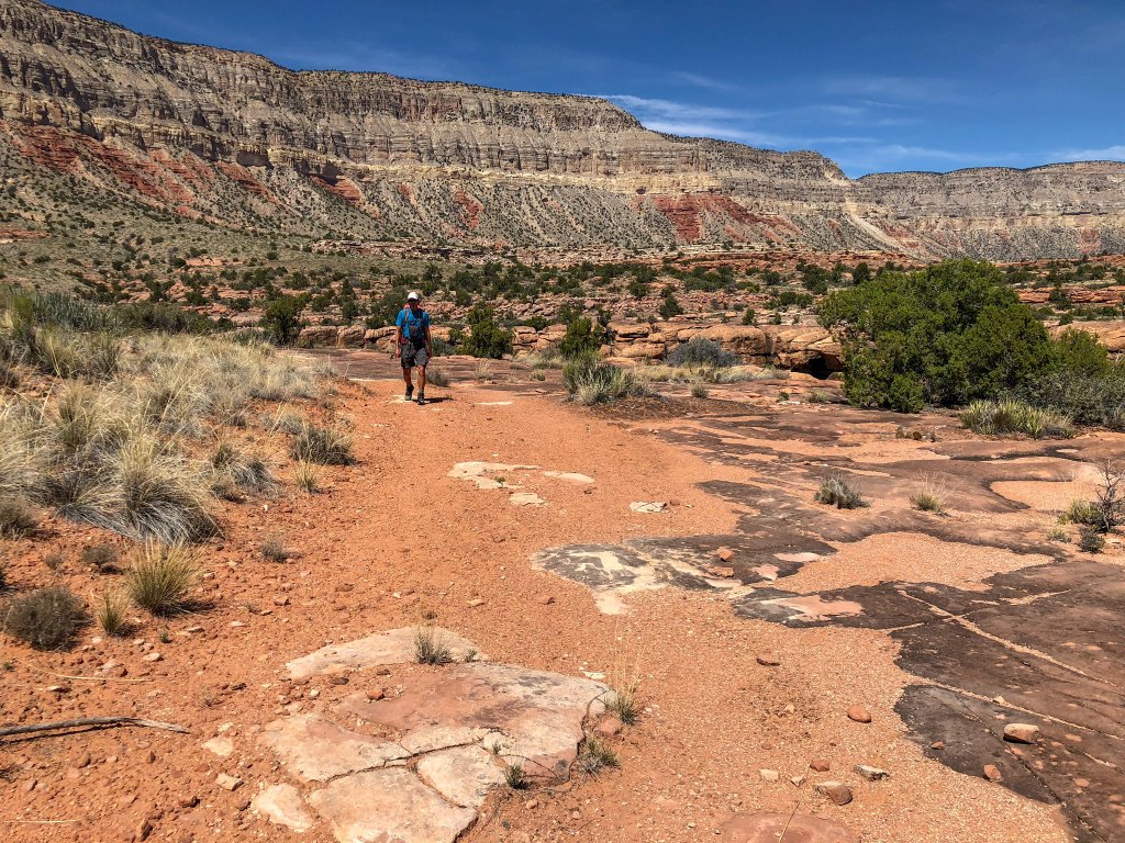
Earlier that day we encountered two fellows out for a day hike and we talked to them a bit (and one gave John a granola bar). They were the first people we had seen on the entire trip. As we got closer to Toroweap, we saw other day hikers, so we knew we were getting close. The last two miles of the trail follow an old road, and we hiked quickly.
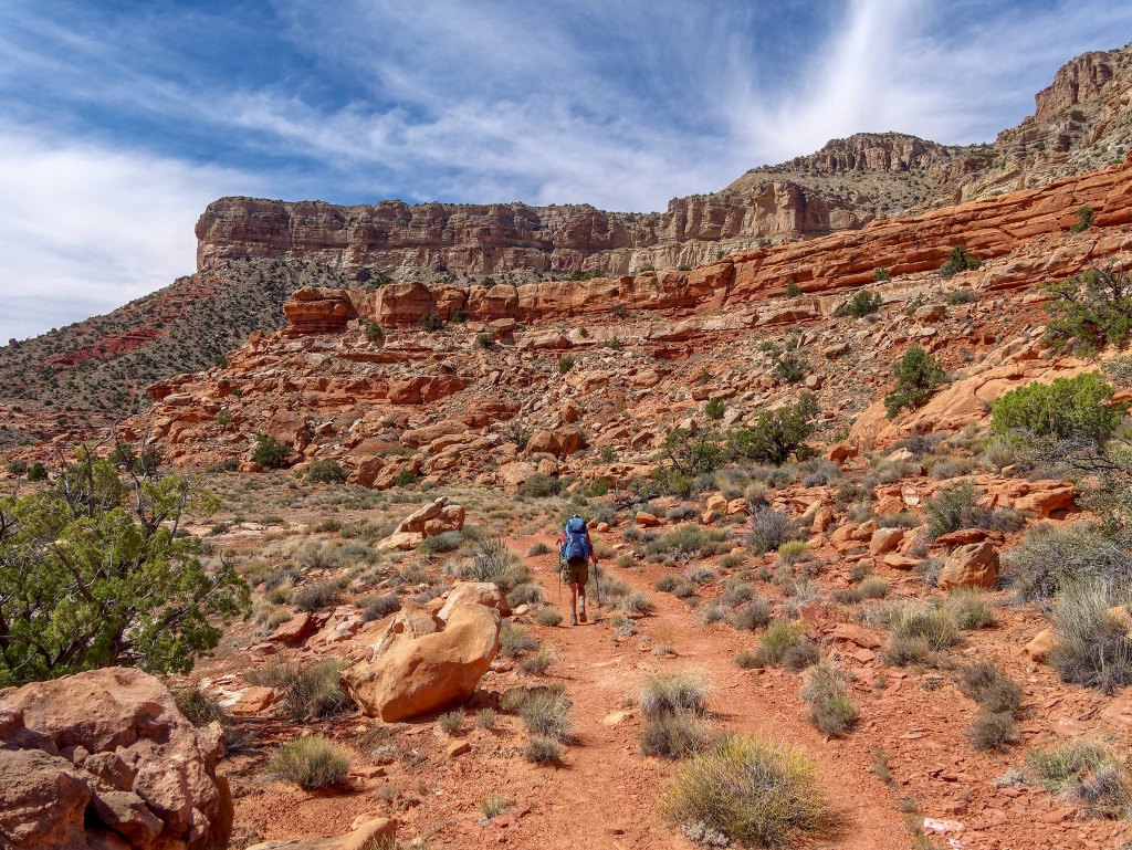
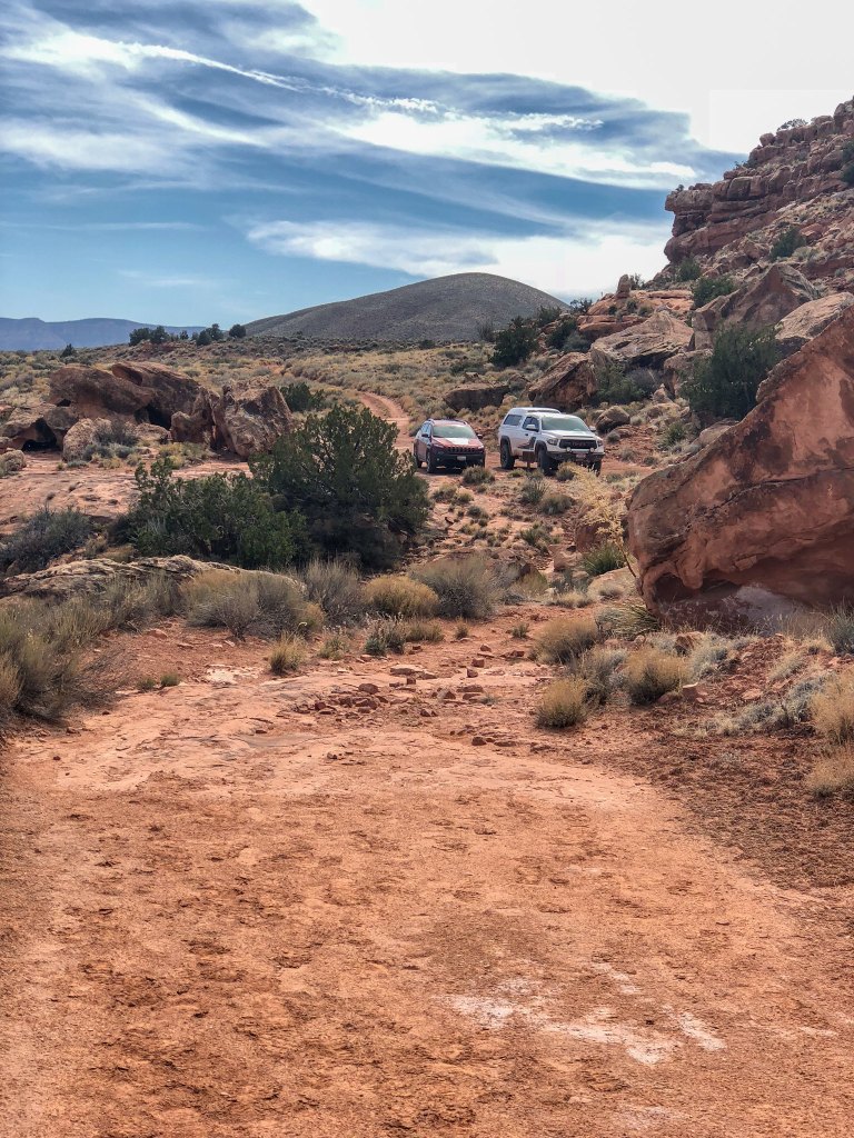
I heaved a sigh of relief when I saw a shimmer in the distance. Not because it marked the location of another pothole. Rather, it came from another welcome sight, the windshield of our Jeep.
We learned a lot about “reading the canyon” and developed some necessary navigational skills. We were also lucky to find water when we needed to. There are no guarantees in life, and this is especially true when hiking the Tuckup Trail and Route. Even though it is a “named trail” within Grand Canyon National Park, it is unlike the others, and one must accept there is a certain amount of risk involved. But what you gain from the experience makes it well worth the effort as well as the risk.
We were very happy to have completed the entire Tuckup Trail and Tuckup Route as we had wanted to do it for some time. We achieved a great sense of satisfaction from having tackled it, coped with the challenges and come out in one piece.
All photos from this trip are on Flickr.


Leave a Reply