In April 2013, we did a seven-day, six-night backpack trip on the western portion of the Tonto Trail in Grand Canyon National Park, Arizona. John was 60 and I was 58. This route is commonly referred to as the Gems. It begins at the South Bass Trailhead, descends into the canyon to the junction with the Tonto Trail, then follows the Tonto east before exiting the canyon via the Boucher or Hermit Trails. The park service trail description states this section of the Tonto Trail is particularly challenging because of the long distances between reliable water sources, the lack of bailout routes, rough trail, exposure, and little shade.
By this time, we had done quite a bit of backpacking within Grand Canyon National Park. We had recently completed the Royal Arch Loop, another route only recommended for experienced canyon hikers. We knew this route would be challenging, but we felt up to that challenge.
Fortunately, we were able to locate someone to drive us to the South Bass Trailhead. We wanted to start this trip early in the morning. However, our ride was only available in the evening. After he dropped us off, we headed down South Bass into the golden evening light.
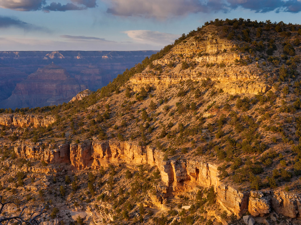
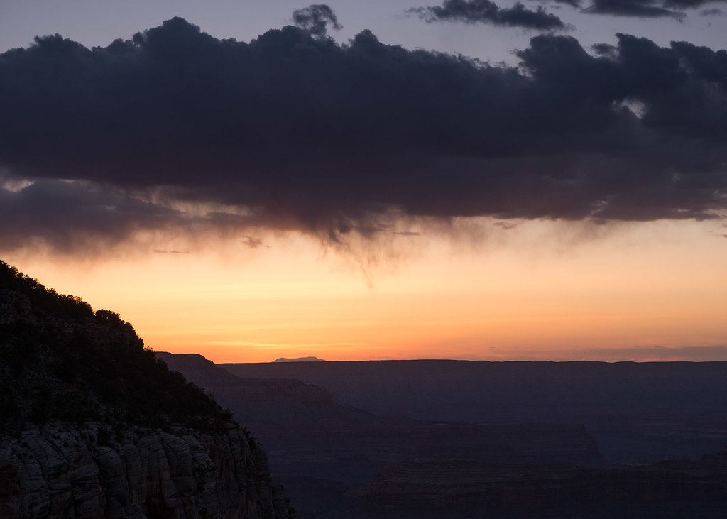
We continued to hike down the trail after the sun went down. The sky was unsettled.
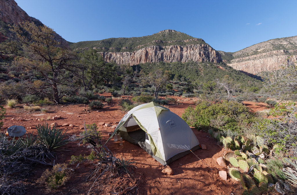
We made it as far as the Esplanade. We camped at the junction of the South Bass Trail and the Royal Arch Route. It was quite chilly that night, but we woke up to clear skies.
We continued down the South Bass Trail to the junction where we got onto the Tonto Trail.
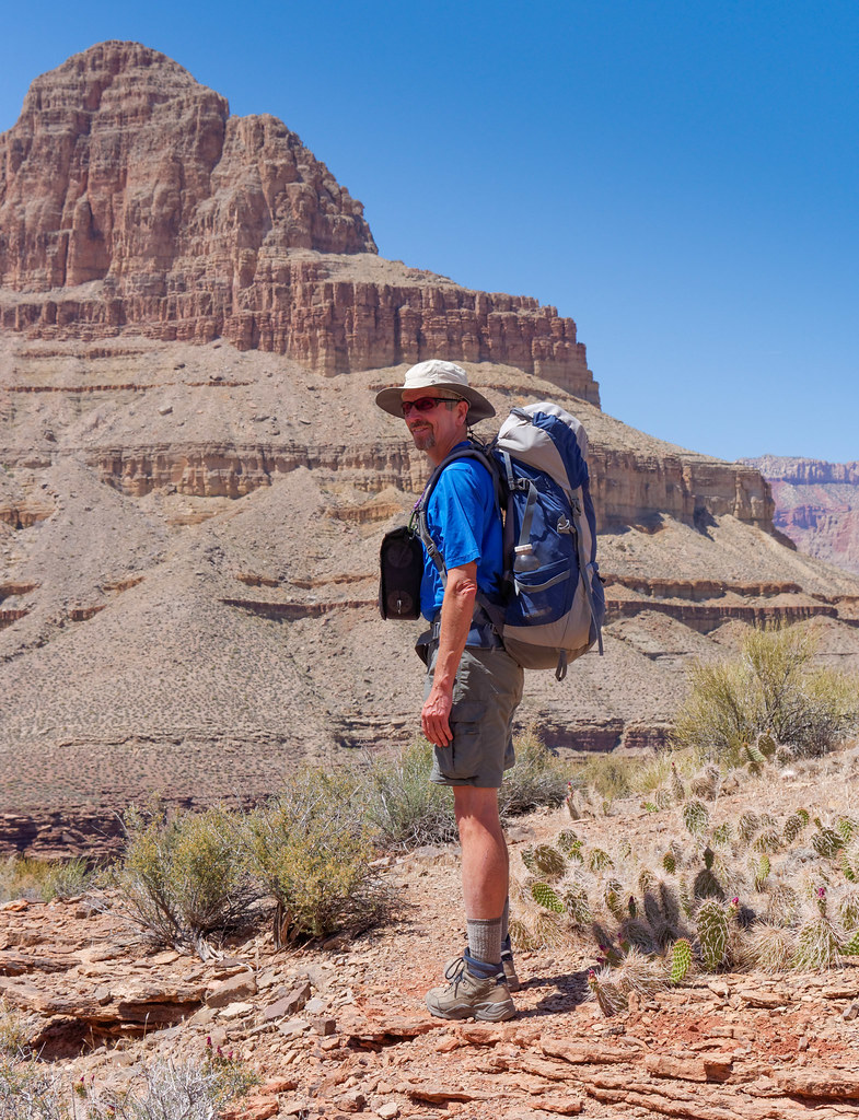
We got our first view of the river.
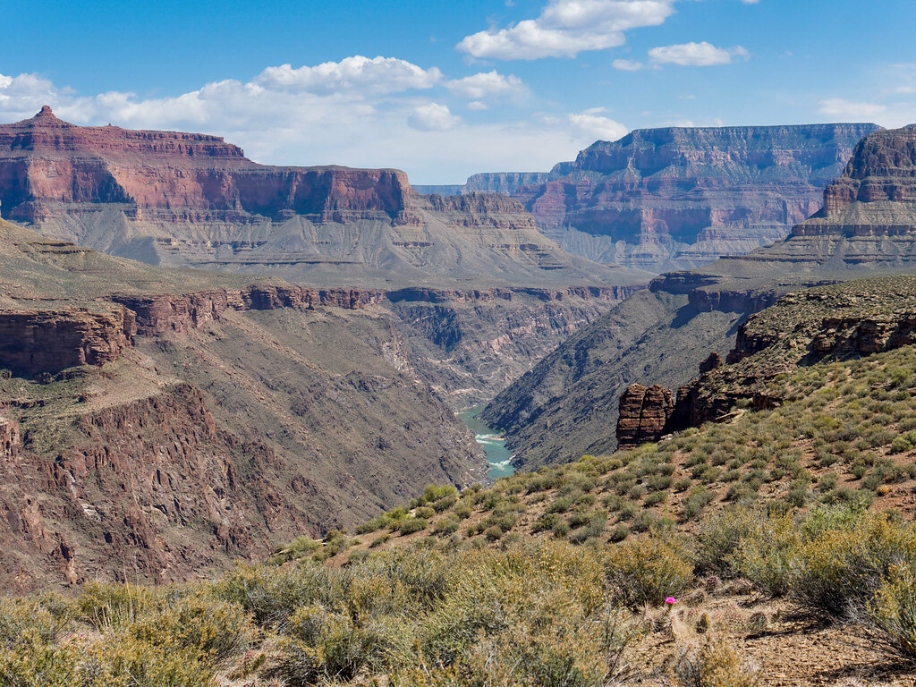
When hiking on the Tonto, one encounters many side canyons previously formed by creeks flowing into the Colorado River. The Tonto Trail circumvents each one. Our destination for the night was Serpentine Canyon. While most of the creeks along this portion of the Tonto are seasonal and were already dry, there are some that still provided reliable water. We hoped that Serpentine Creek was one.
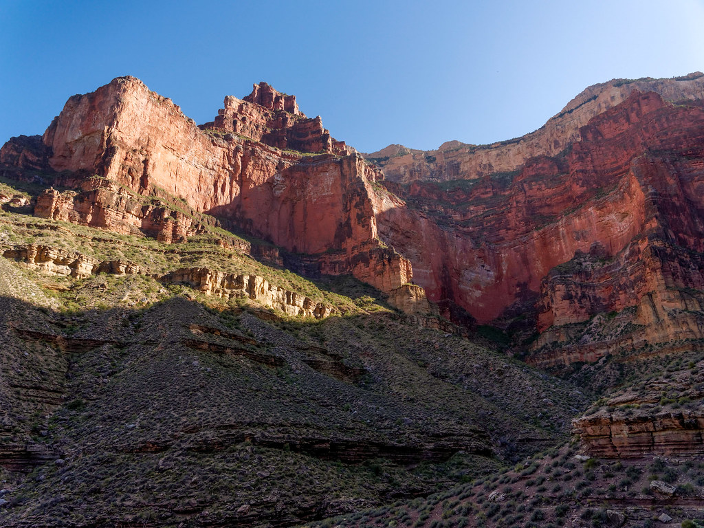
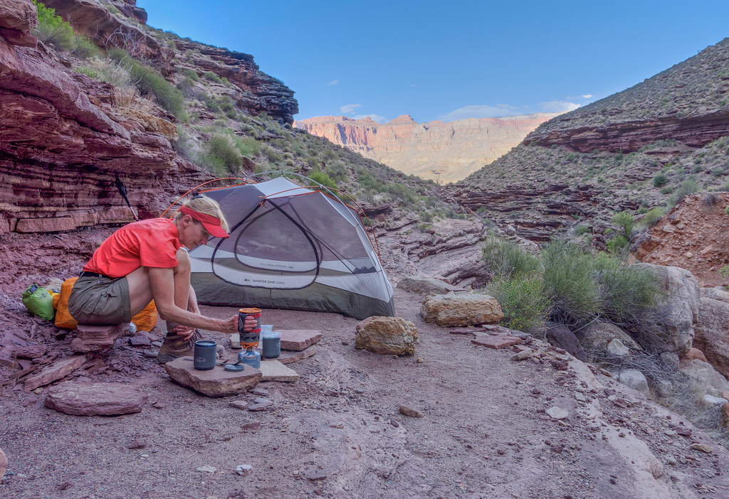
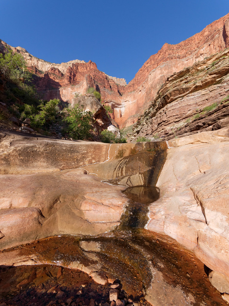
Fortunately, there was still plenty of water in Serpentine Creek, and we set up our camp on an adjacent ledge.
The creek is home to countless frogs, and we were serenaded all night. Most didn’t sound like the deeper voices of the frogs we had heard in Arch Canyon. Instead, theirs were higher pitched and often sang in harmony with the occasional soloist. The entire performance was quite lovely.
The next day happened to be my 59th birthday, and I couldn’t imagine a better place to wake up.
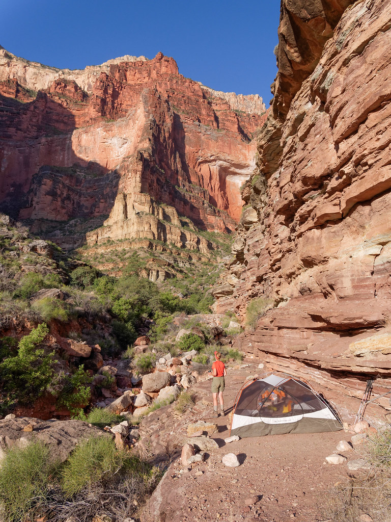
However, we had known that this would be our most difficult day of the trip as there was no reliable water between us and Slate Canyon, our destination for the following night. Therefore, we both left camp carrying two gallons of water apiece, which was considered to be the minimum needed for two days. Both of our packs were quite a bit heavier than we are accustomed to carrying, and hiking out of Serpentine was a bit disheartening (well, happy birthday to me!).
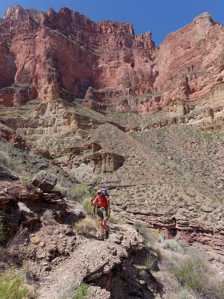
The day turned quite hot. It was just after 8:00 a.m. when we left camp, but we realized that an earlier start would have been a good idea. While the Tonto Trail is notable for its lack of shade …
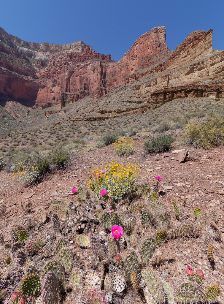
… we did at times encounter rocks and ledges that provided us with a welcome spot to take a break.
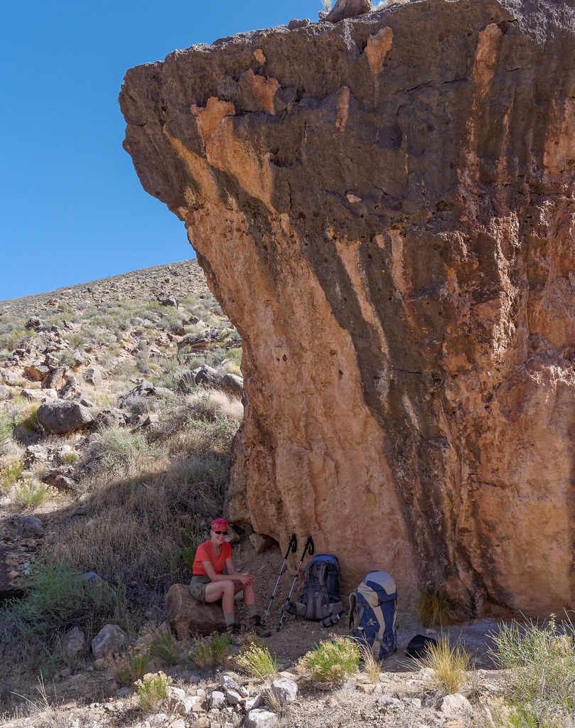
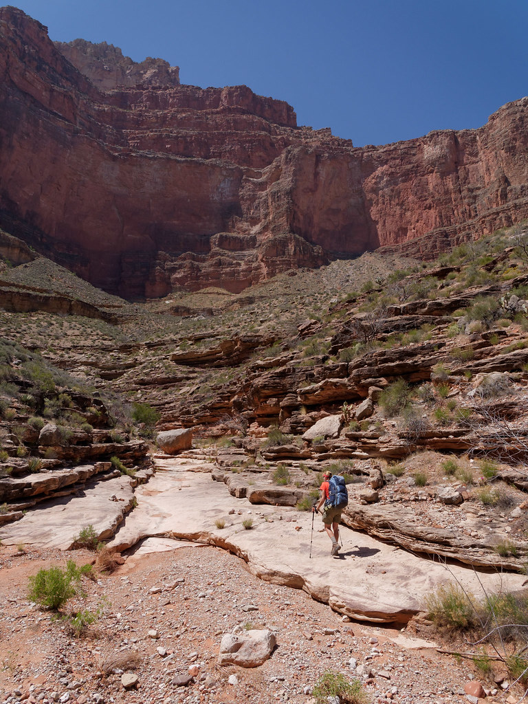
We also discovered that shade was usually available within the side canyons we encountered.
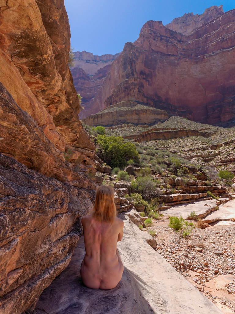
Ruby Canyon provided us with a wonderfully shady spot, and we decided it was unlikely that any other backpackers would be passing through so we both removed our shirts. But why stop there? We both ended up naked and stretched out on the delightfully cool rock. Now, this was the way for a postmenopausal woman to celebrate her birthday!
We needed to ration our water and had calculated that we could drink ten ounces each hour. We took regular breaks and were supposed to eat something at each break. John was able to do this, but I completely lost my appetite after our early lunch.
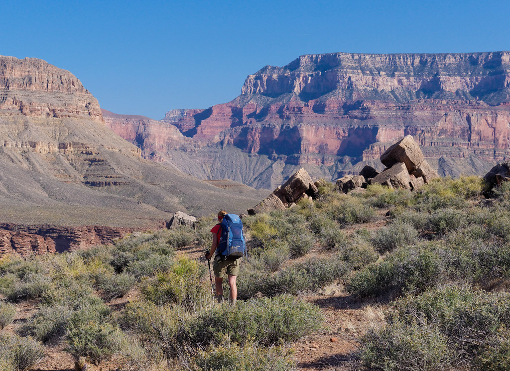
Our destination for the day was Turquoise Canyon. I felt extremely tired and discouraged by the time we reached it. My appetite had not returned, and my mouth felt dry even after drinking my allotted ten ounces of water.
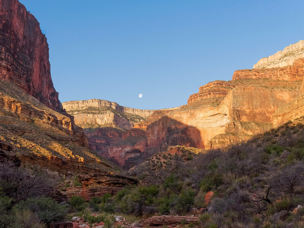
I set up camp while John hiked up the canyon searching for water. While we knew that there was a possibility of some water in Turquoise Creek, we hadn’t been willing to stake our lives on it.
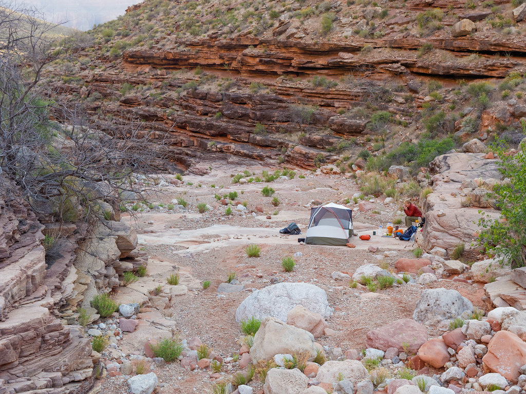
He discovered a small, shallow puddle and was able to get nearly a gallon of water out of it! As soon as I heard that, I chugged another 20 ounces, and it made all the difference in the world. I was able to eat all of my day food as well as my supper. I got some energy back, and my mood improved immediately. As much as I enjoyed being naked in Ruby Canyon, this puddle of water was the best birthday present I could have received!
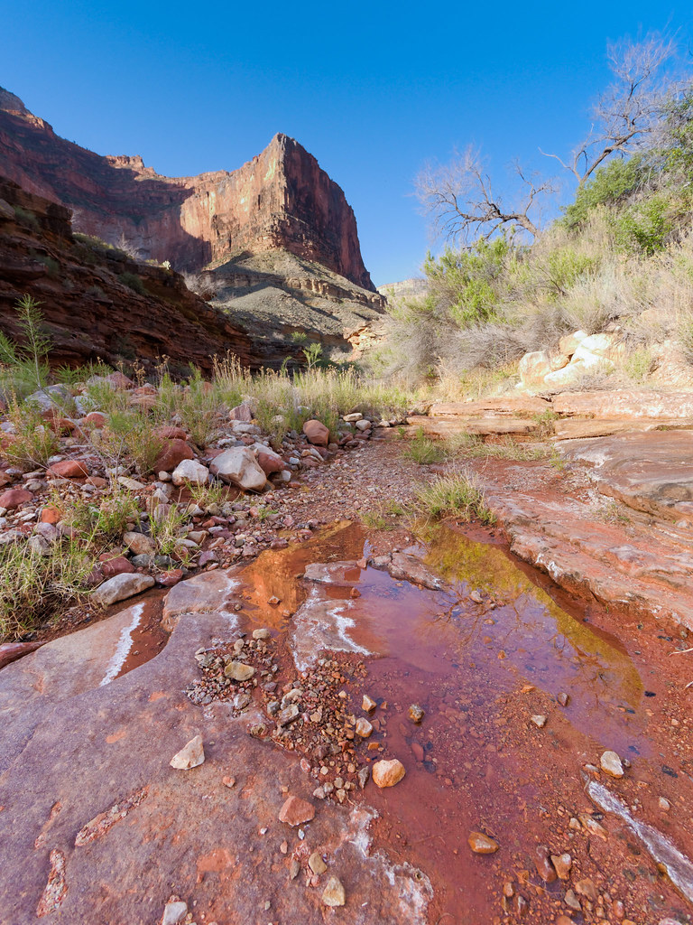
I wouldn’t have died if there hadn’t been any water at Turquoise Canyon. But it would have made the next day an ordeal instead of the joy I often feel while backpacking. It was a good learning experience for me to discover how much better additional water can make me feel when I’m a little dehydrated.
We left Turquoise Canyon confident that we had enough water to not only survive but to feel good throughout the day. We continued on toward our next camp at Slate Canyon, which has a reliable water source.
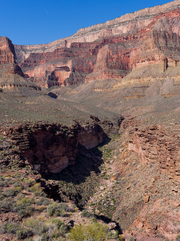
But first we needed to cross more of the expansive Tonto Platform …
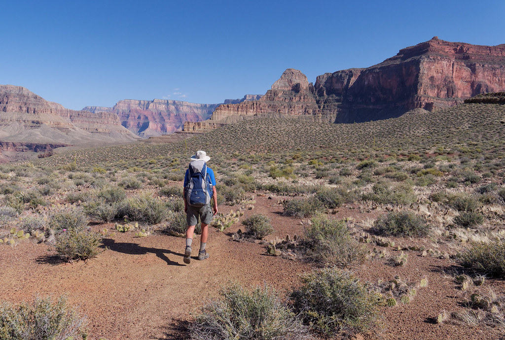
… as well as circumvent more side canyons including Agate Canyon and the lovely Sapphire Canyon.
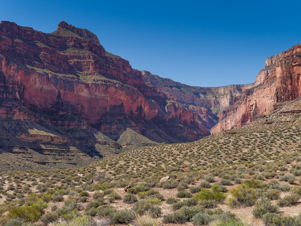
We continued up the canyon until the trail crossed the wash. Even though we had been told that Slate Creek was a reliable source of water, the first thing I did when I got there was drop my pack and hike up the canyon. The wash was bone dry for about the first five minutes, and I began to get concerned. However, I began to feel reassured when I encountered wet sand, then small puddles followed by deeper potholes. After about ten minutes up the canyon, I found flowing water.
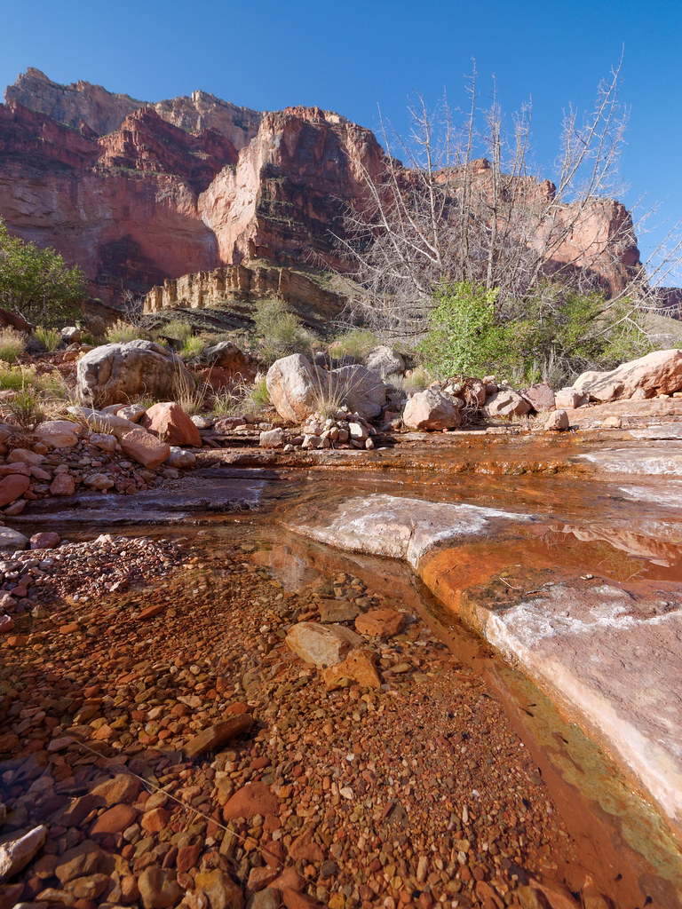
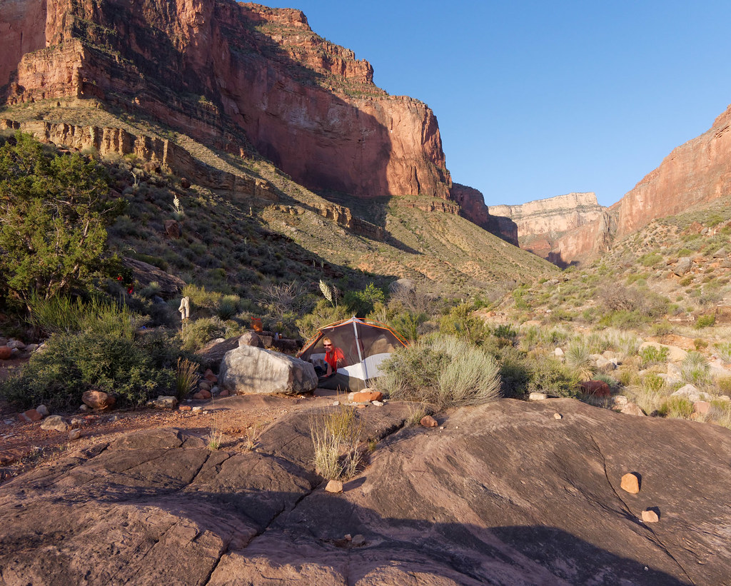
I happily headed back down and set up our camp while John collected water. We had completed the most notorious portion of the Tonto Trail and the remaining two camps on this trip would both be on the river, so water would no longer be a concern.
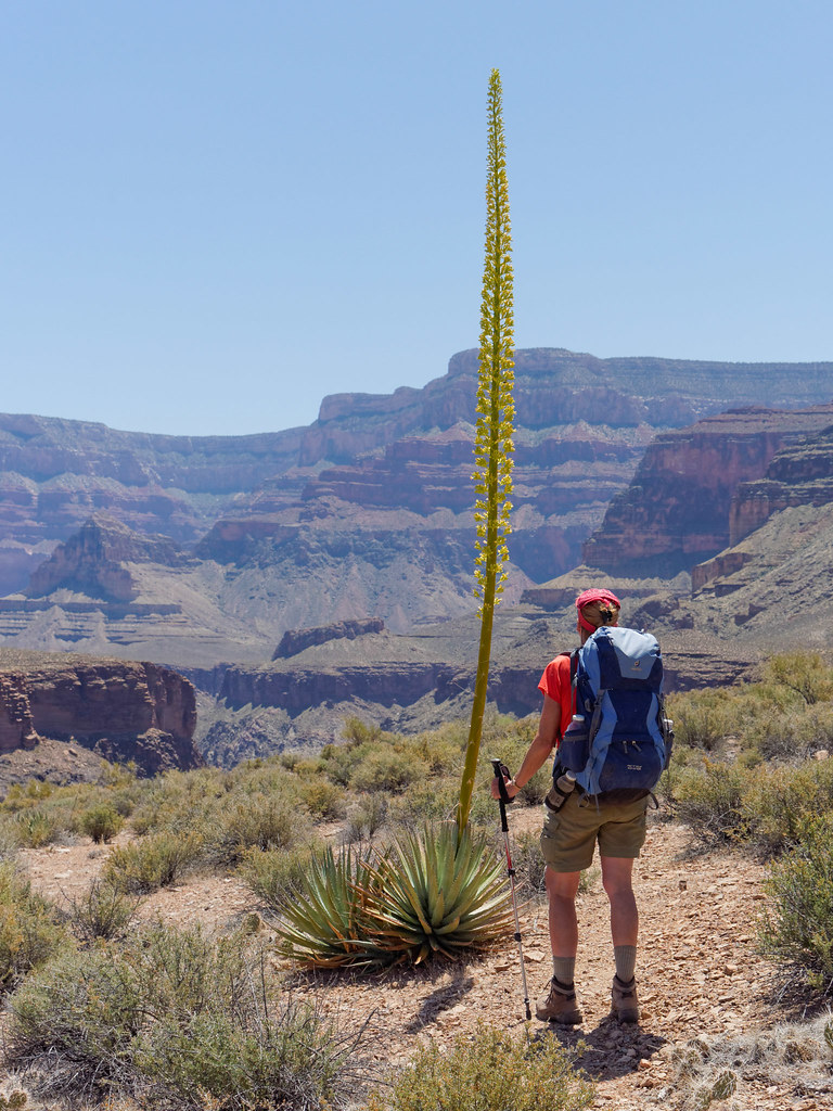
The next morning found us back on the Tonto Platform with its varied vegetation, such as this century plant.
We got the familiar great views of the Colorado River. I have heard that some hikers find the Tonto boring. However, we never seem to tire of its vastness.
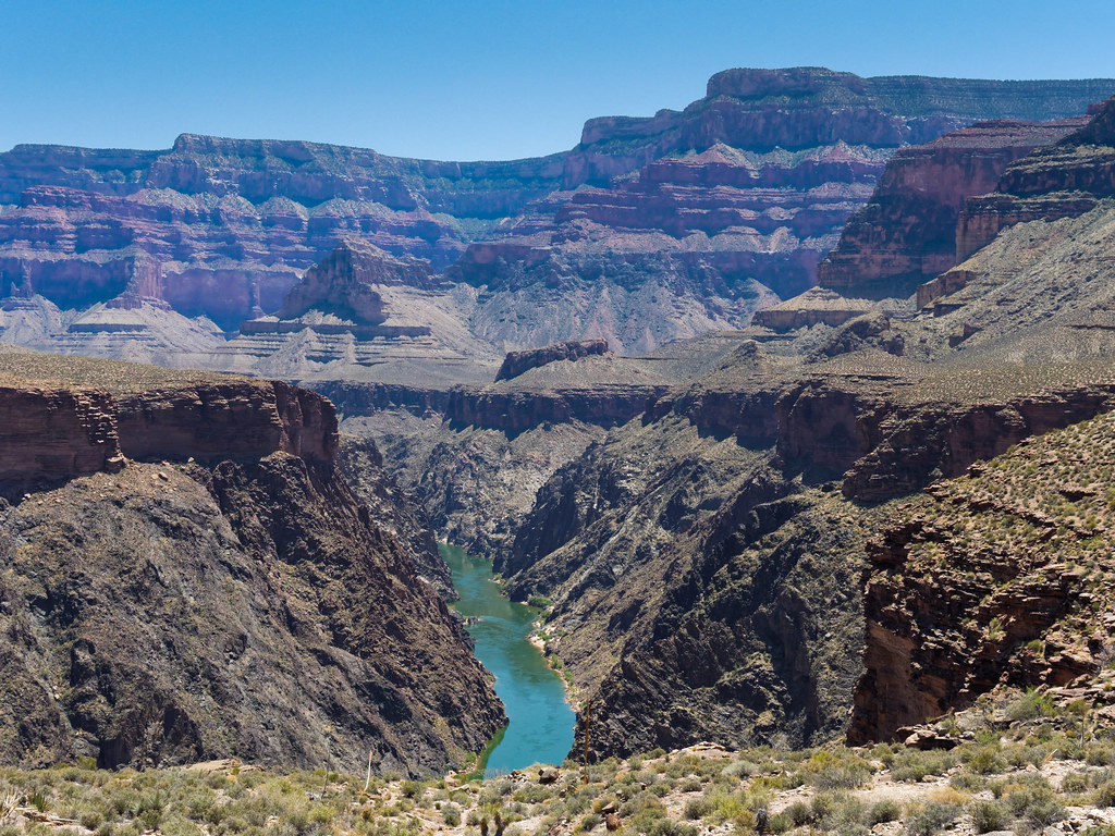
Our destination for the day was the mouth of Boucher Canyon at the Colorado River, but first we had to get around Topaz Canyon.
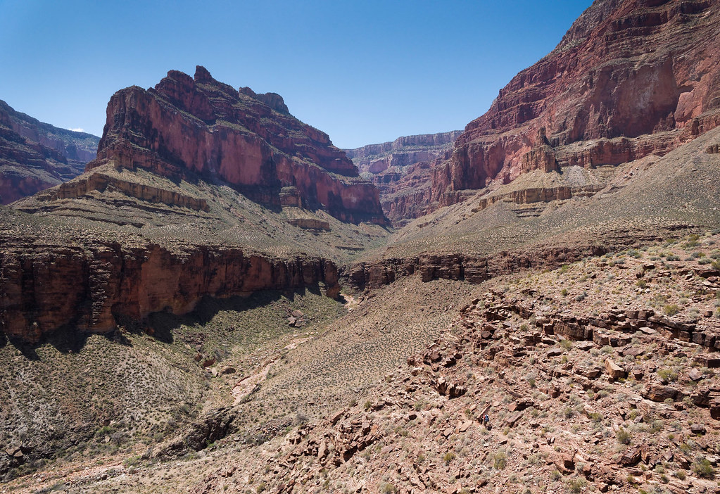
Even once Boucher Canyon came into view, we knew it would still take a while to hike farther up the canyon and reach the junction with the Boucher Trail.
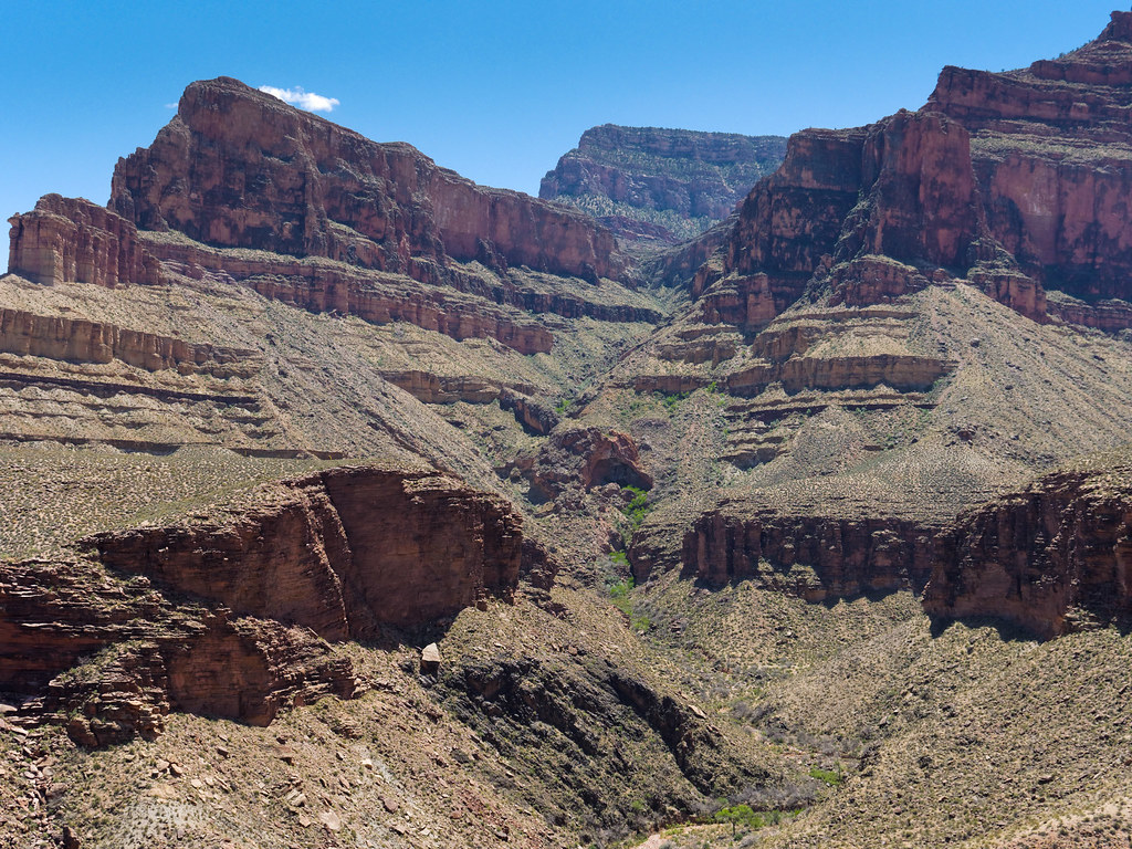
There was plenty of water in Boucher Creek, but we still preferred to continue down the canyon toward the river.
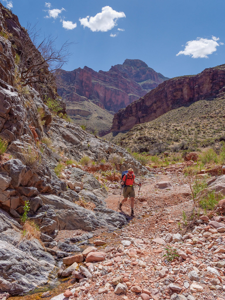
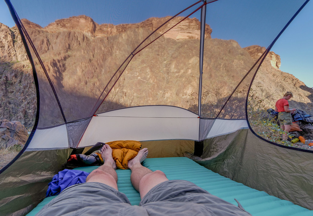
We arrived at the river early in the day, and the large beach was still in full sun and quite hot. Rather than camping on the sunny beach, we went upstream a short way and climbed up toward the canyon wall. We found a suitable site up in the rocks above the river that was beginning to get some shade.
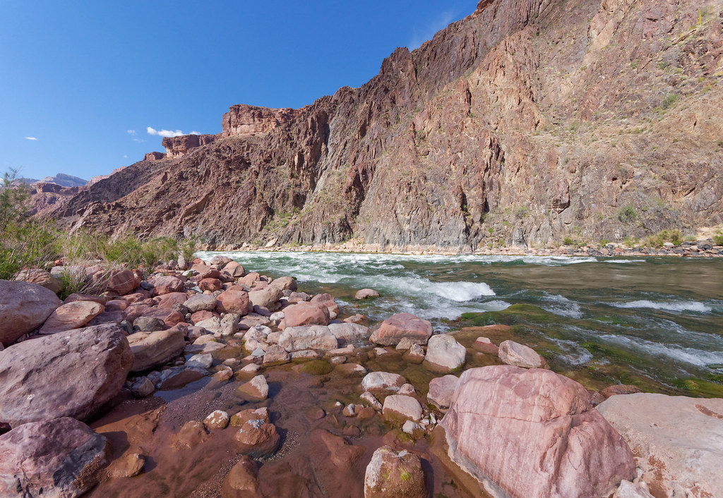
That evening we thoroughly enjoyed the views of Boucher Rapids below us …
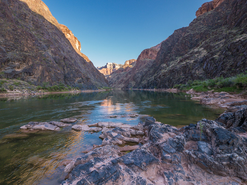
… as well as the calmer water above us.
The next morning we hiked back up the Boucher Trail, …
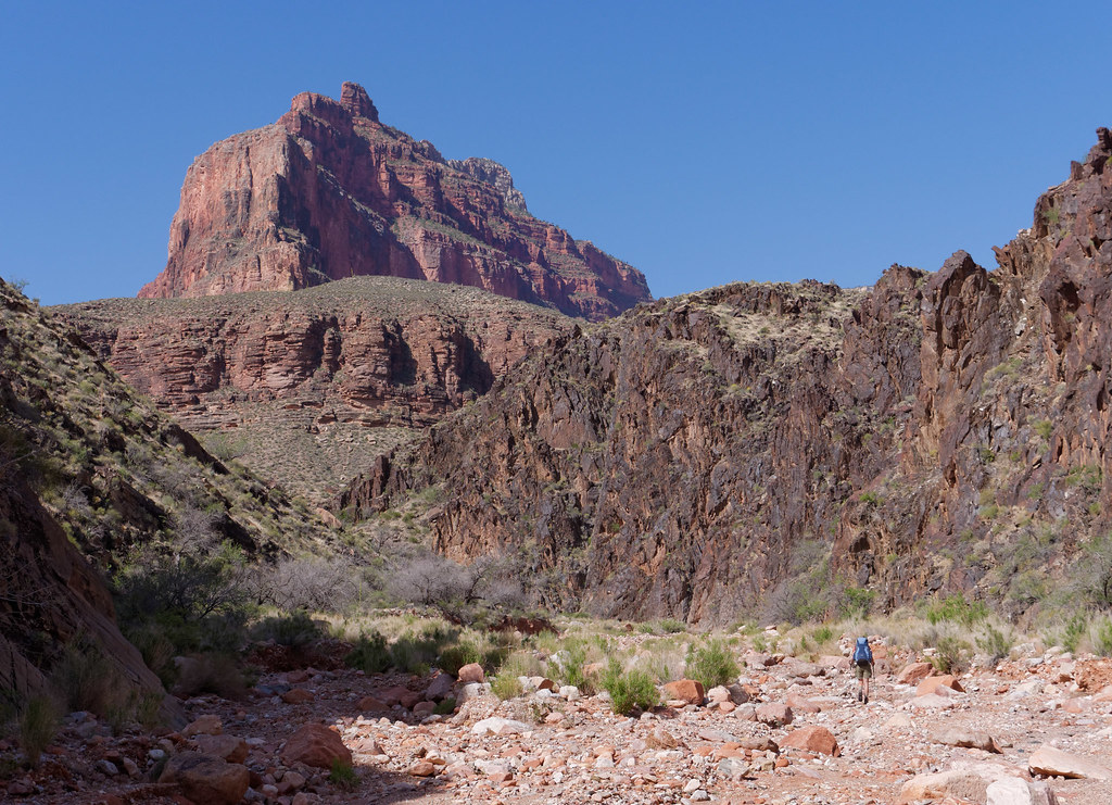
… out of Boucher Canyon …
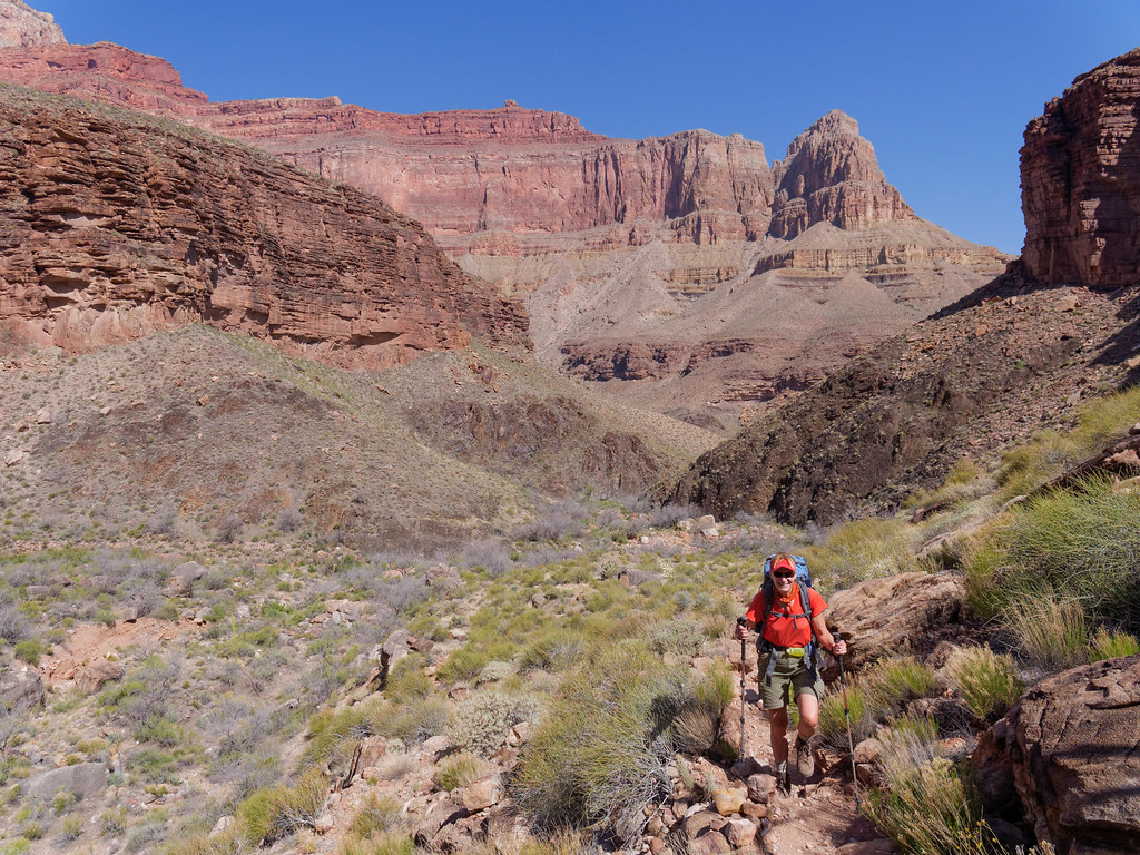
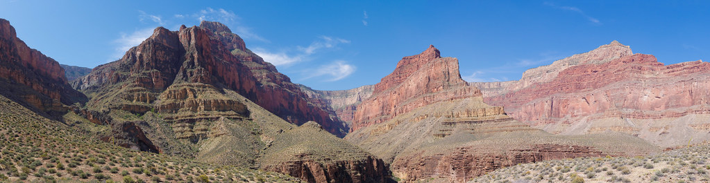
… and back to the Tonto Platform. During the day we encountered the first people we had seen in four entire days.
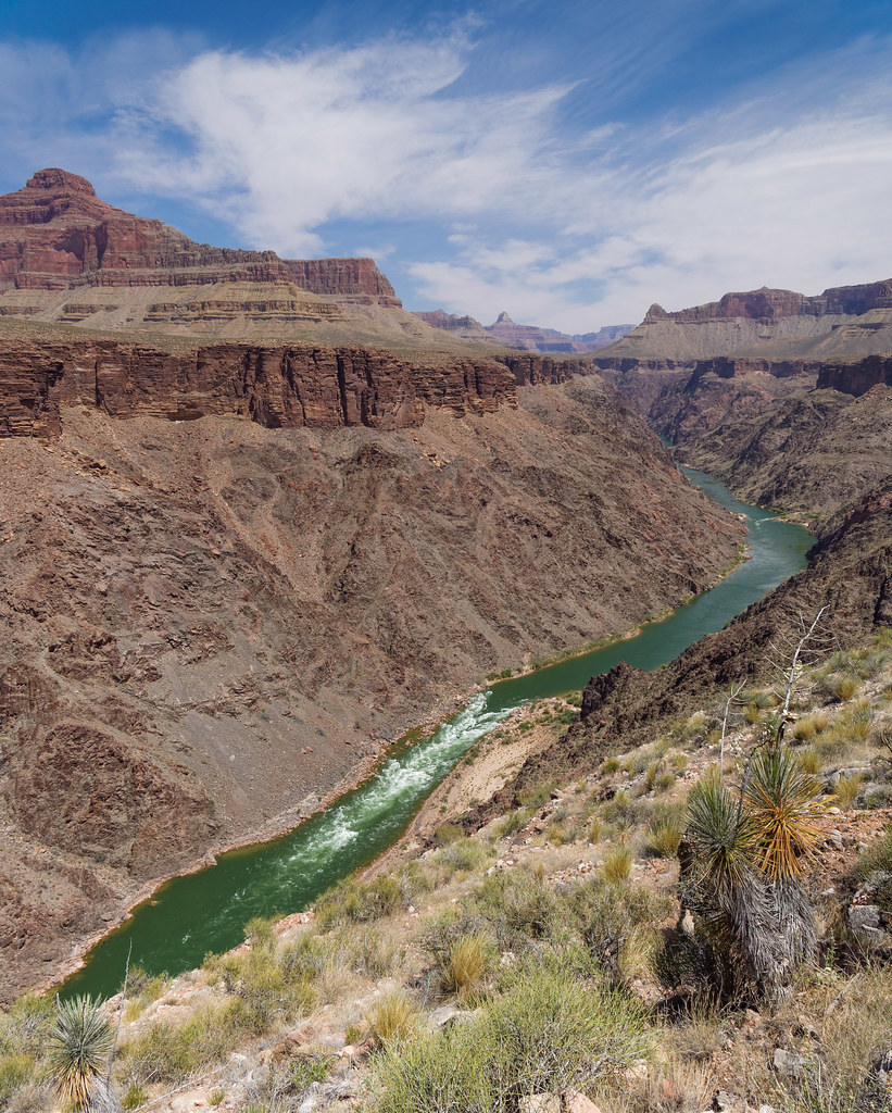
Once again we had views of the Colorado River …
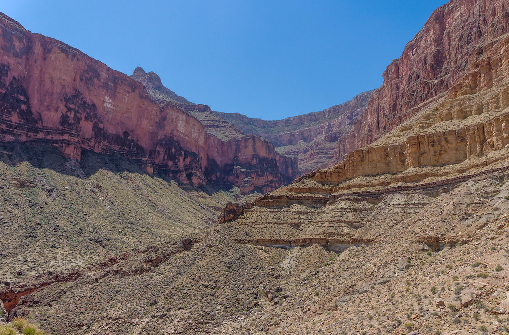
… and had to circumvent another side canyon; this time it was Travertine Canyon.
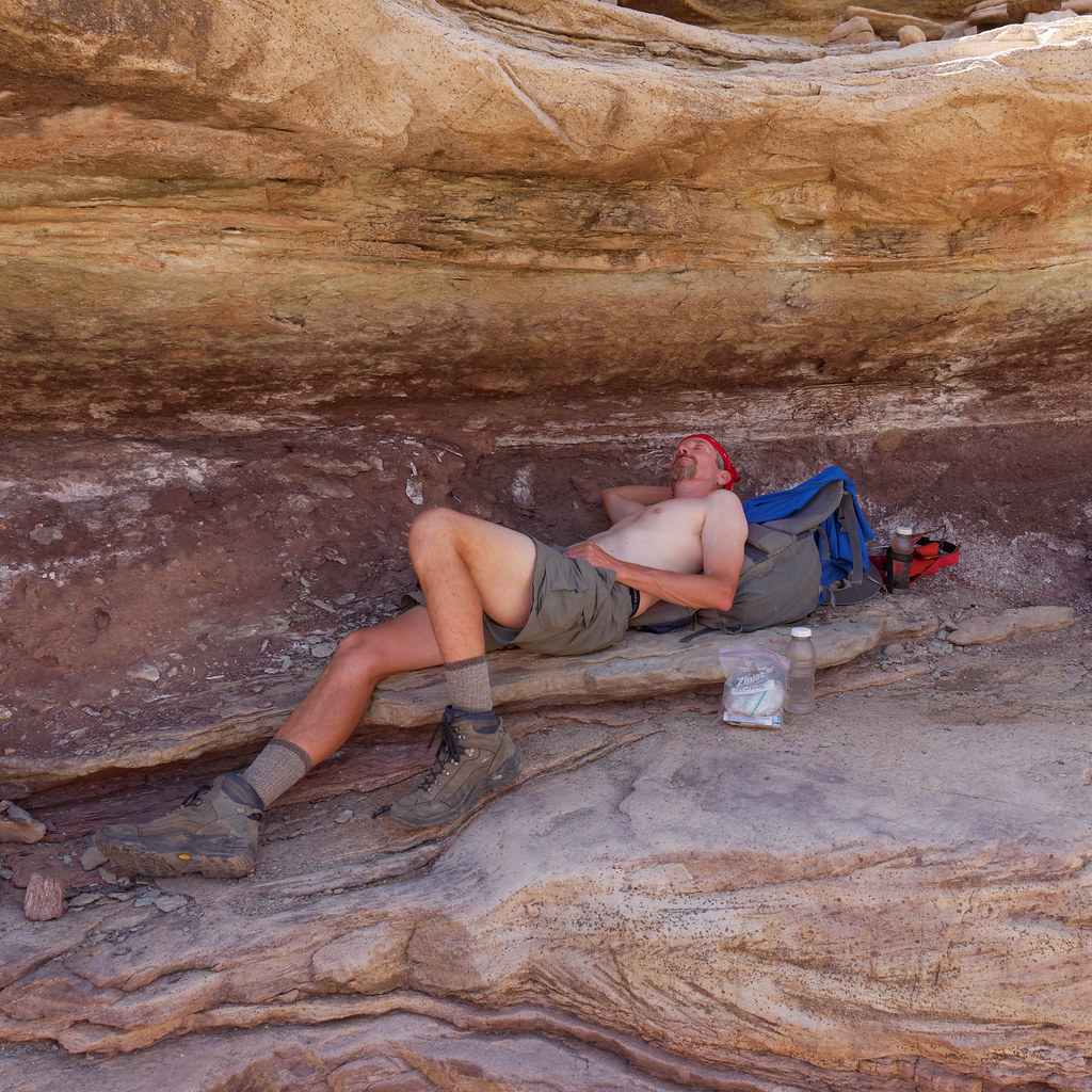
We continued to make use of any shady spot we encountered, although we decided it would be a good idea to get back in the habit of keeping some of our clothes on as we knew we could start encountering more people.
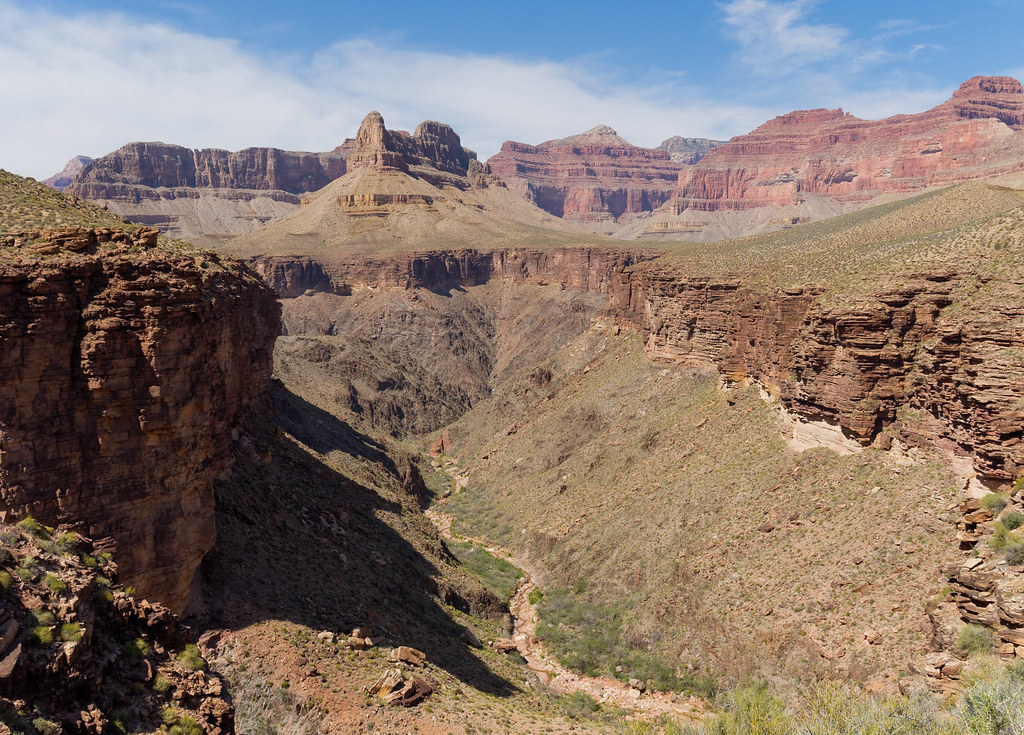
Looking up, we could see Pima Point, which is not far from Hermits Rest, our destination for the next day and the end of this trip.

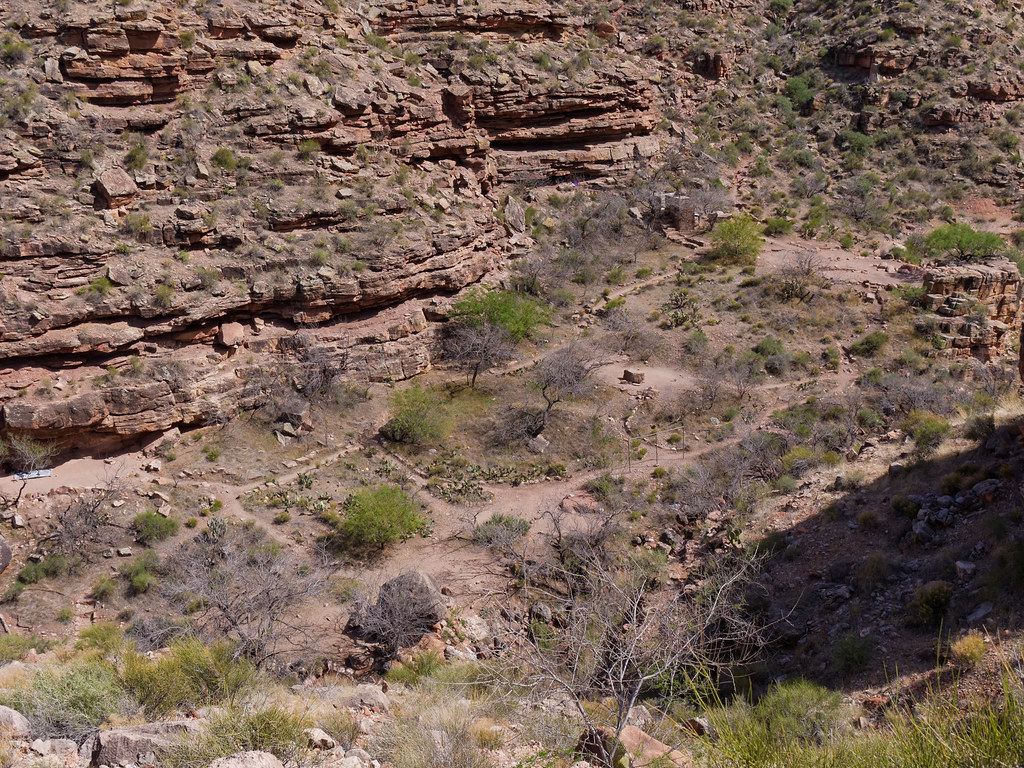
We finally reached Hermit Canyon and, as we began our descent …
… we got an excellent view of the well-developed Hermit Creek Camp complete with streets and a composting toilet. The sight of so much civilization was a bit of a shock for us.
We planned to camp by the river that night, but before we headed down, we took a lengthy break at Hermit Creek. It was an oasis and we luxuriated in the clear, cold water, drinking our fill and soaking our feet at the same time. It was wonderful!

Now completely refreshed, we continued down Hermit Canyon toward the river. We weren’t prepared for how attractive this canyon was, and planned to allow enough time in the morning for John to take photos on our way out.

We found a fine campsite next to Hermit Creek just above the river. We were aware of only one other party who also planned to camp by the river, but they continued downstream. We were pleasantly surprised by the solitude.

Once again we enjoyed views of rapids below us—Hermit Rapids in this case— …
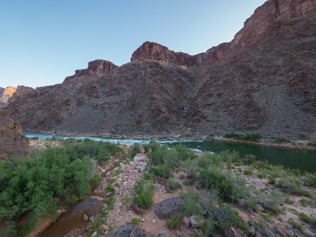
… as well as the calmer waters of the river above us.
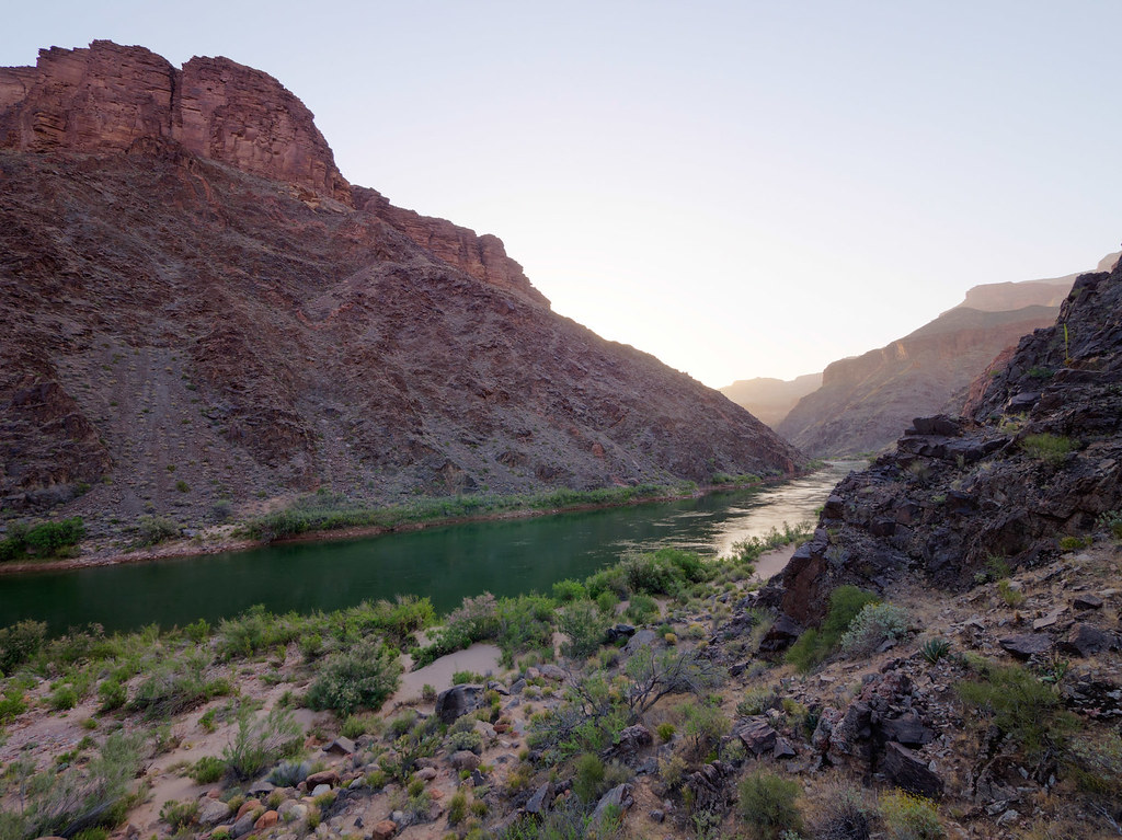
The next morning we headed back up the lovely Hermit Creek Canyon …

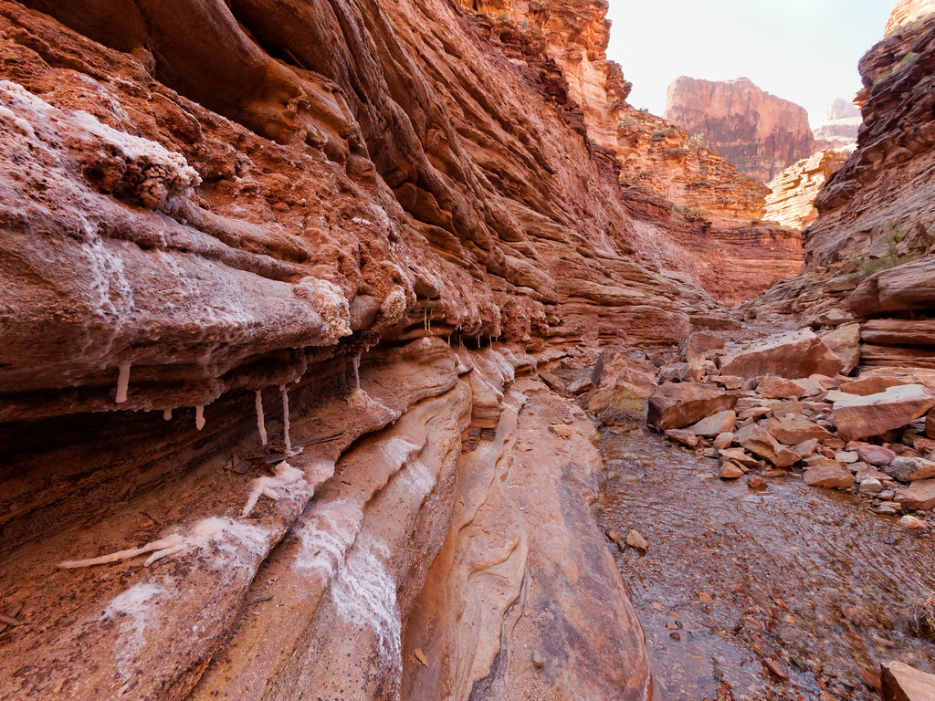
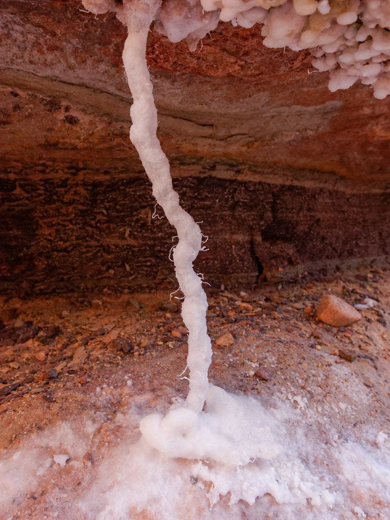
… to the surprising collection of mineral sculptures.
Some were quite delicate.
Once we left the canyon, we got onto the Hermit Trail to make the long hot ascent back to the rim.
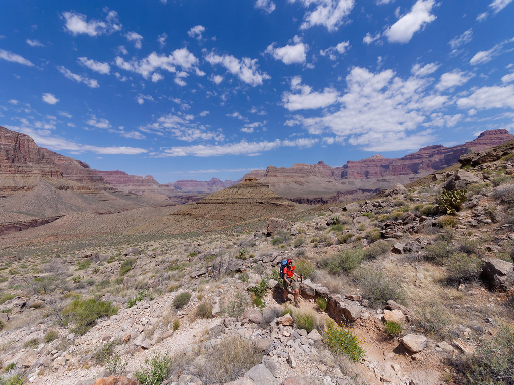
As always, we found great satisfaction looking back at where we had been.
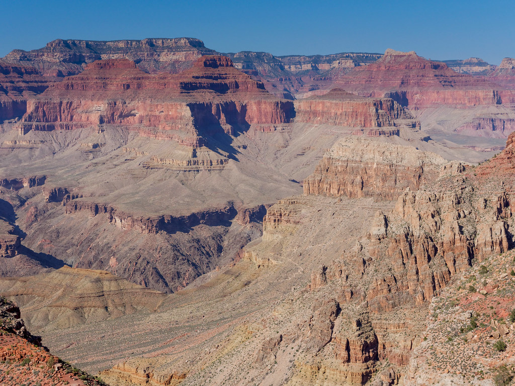
Once we reached the Santa Maria Spring rest house …

… we knew we didn’t have far to go.
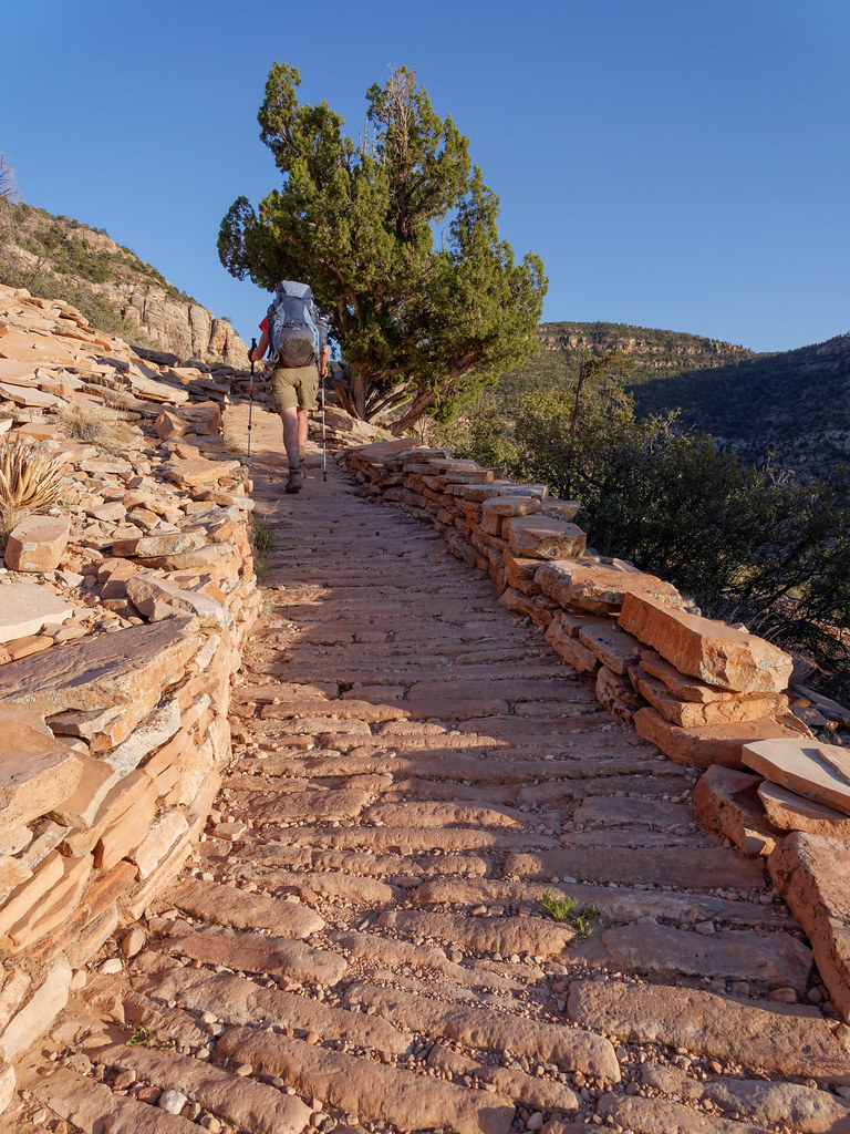
Despite the challenges, this trip became one of our favorites. It was peak season in this incredibly popular national park, but we went for four days without seeing a single other person. We felt as though we had the entire park to ourselves, and it just doesn’t get any better than that.
All photos from this trip are on Flickr.


Leave a Reply